|

|
|
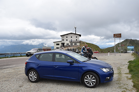
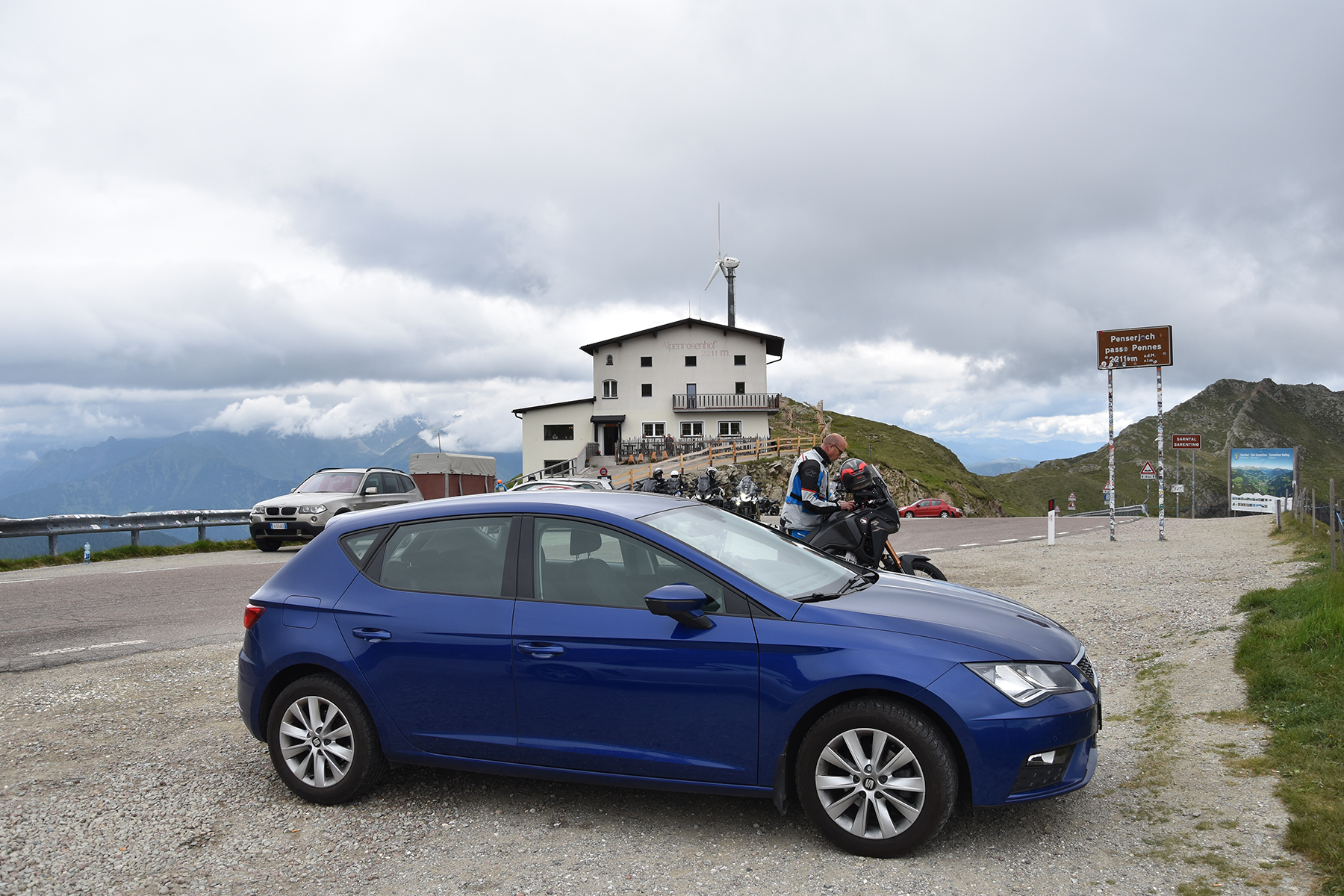
I
have never before visited this roadpass, Penserjoch
2211m. Coming here
today depends on bad weather in Austria. And then the thought
is to get
a resting day.
However, I would like a shorter trek anyway. |
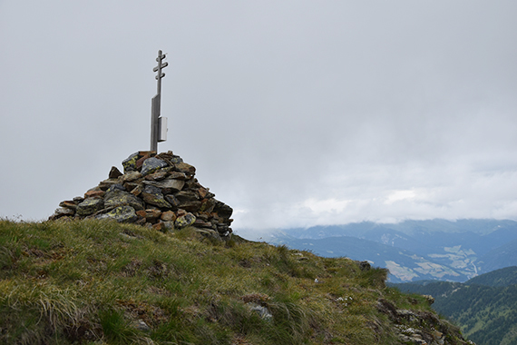
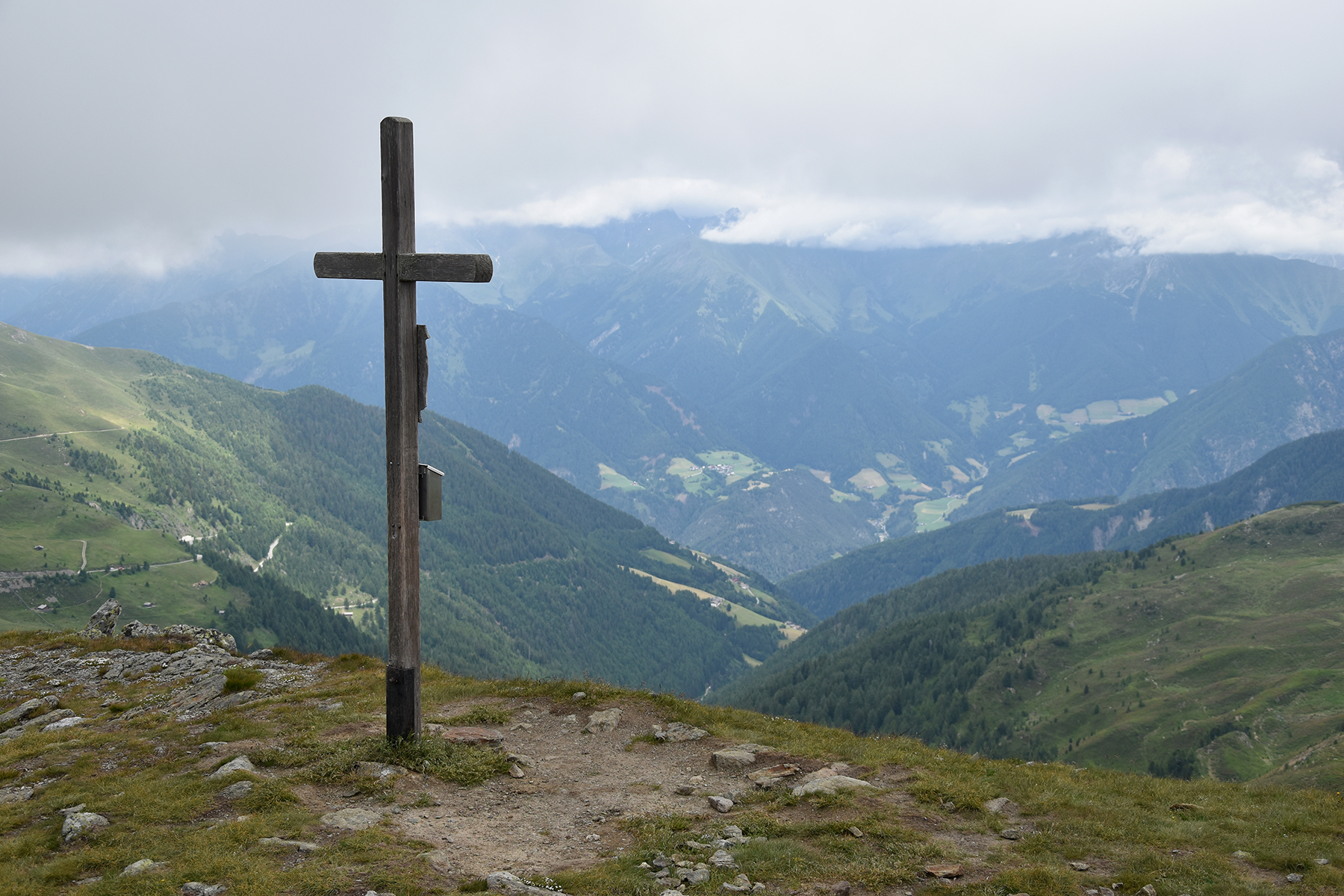
The
peak Gränsegragen is easily reached from the
roadpass, It takes 15min
to get there. But as I arrive, the summit is in clouds. One cappuccino
later at the
guesthouse, the summit is visible and I'm soon up there. |
The
clouds are still just above my head, going even lower after a while. My
next peak is higher, no use going there for now. I stay put
here, eat a
sandwich and have a good rest, convinced that the weather will improve.
|

|
|

|
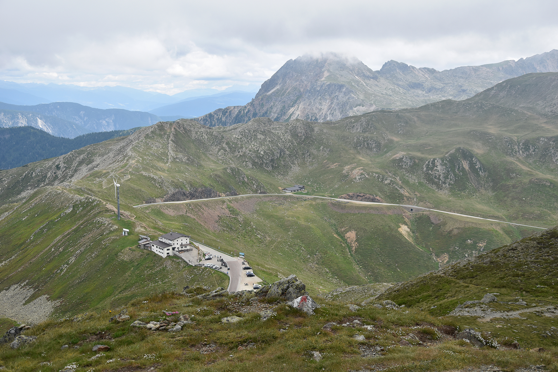
| Just around 100 altitude meters
down tp
Penserjoch. |
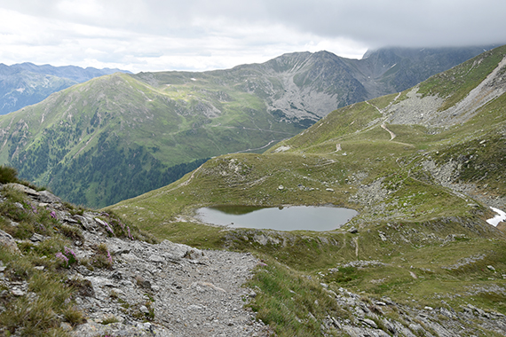
After
waiting 1,5h, the weather starts improving. Time to
start walking
towards Röthenspitze.
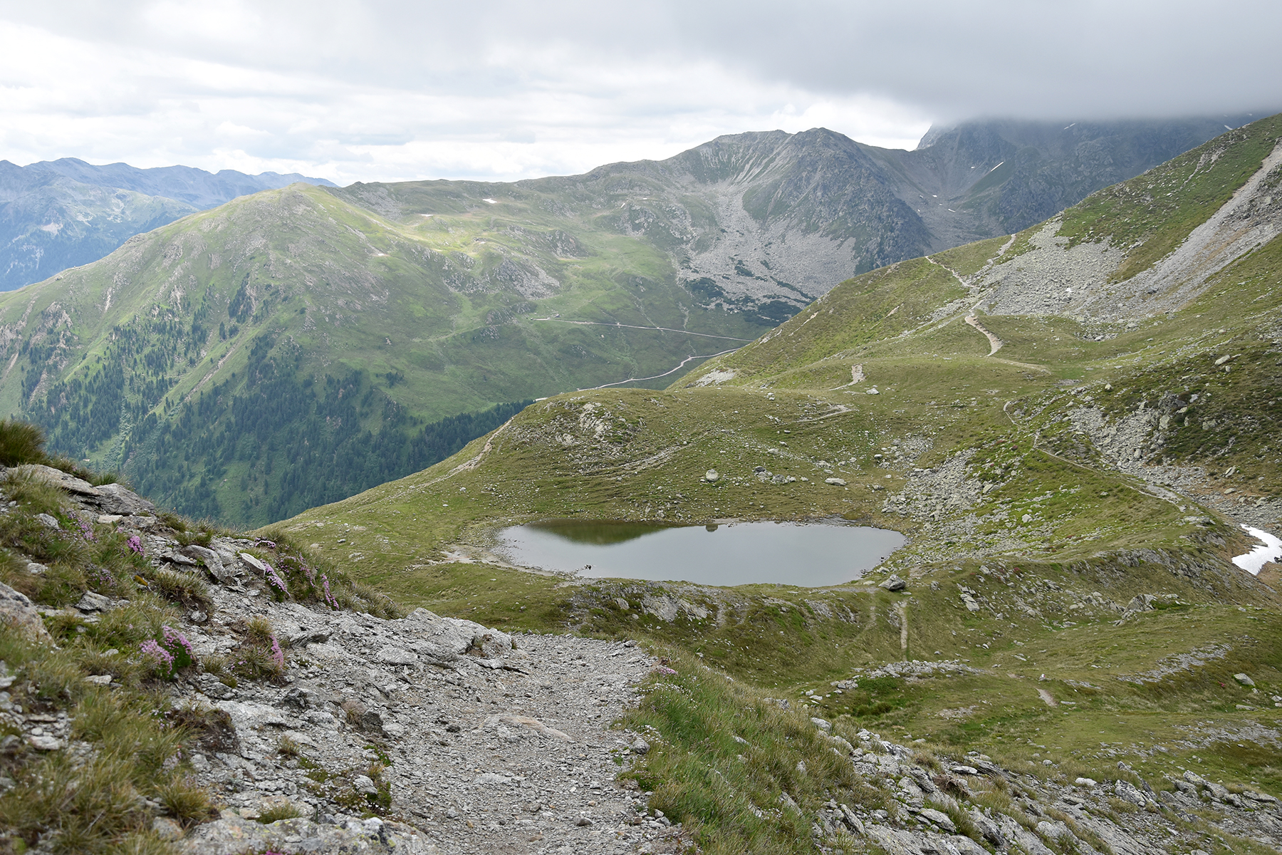
The
trail first leads
down to the lake Penserjoch See. |
Röthenspitze. is still covered with clouds, but it will
take a while until I get there.
|

|

|
|
|
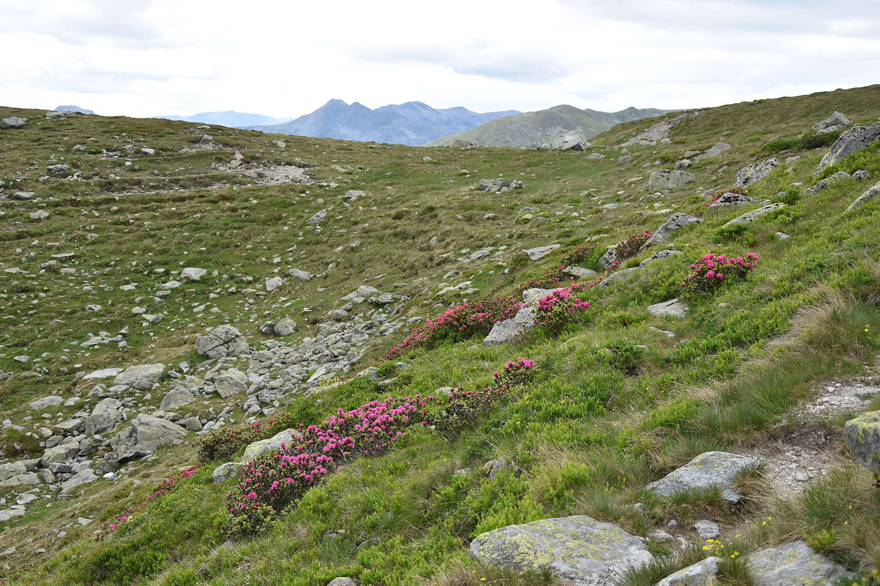
The
Alpine Roses are in full bloom, beautiful! |
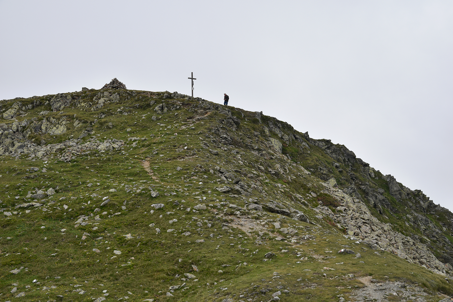
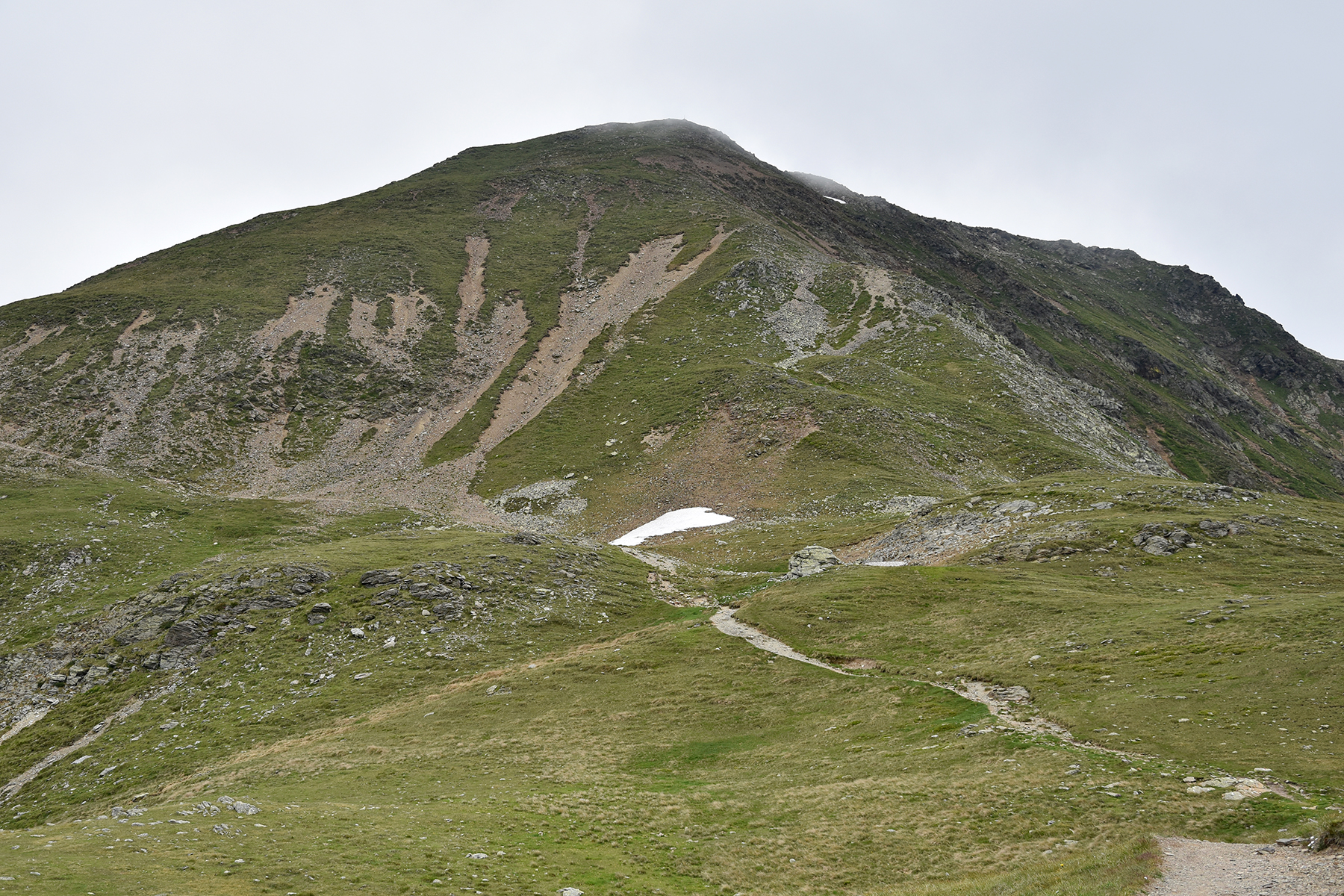
Not
far to the final climb, and now the
summit is visible! |
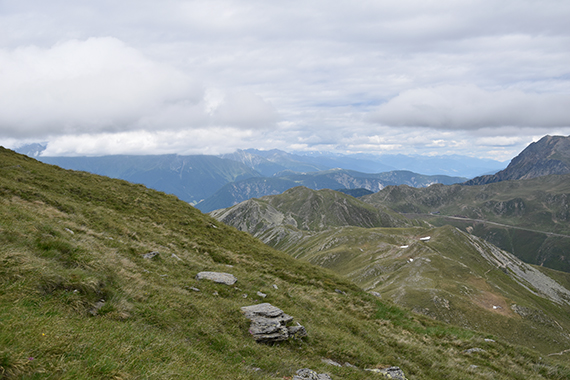
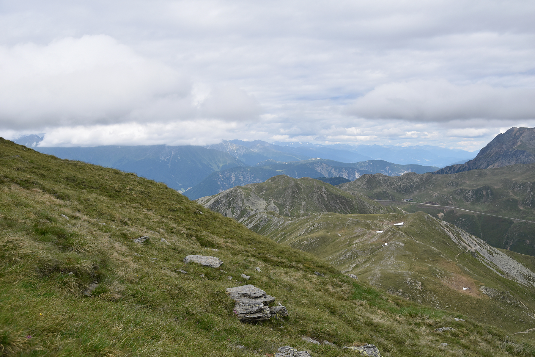
This
is a completely different landscape than what I have seen so far. Green
hills with no real difficulties anywhere. But still, it's
beautiful and
provides a pleasant natural experience.
|
|
|

|
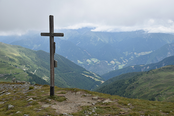
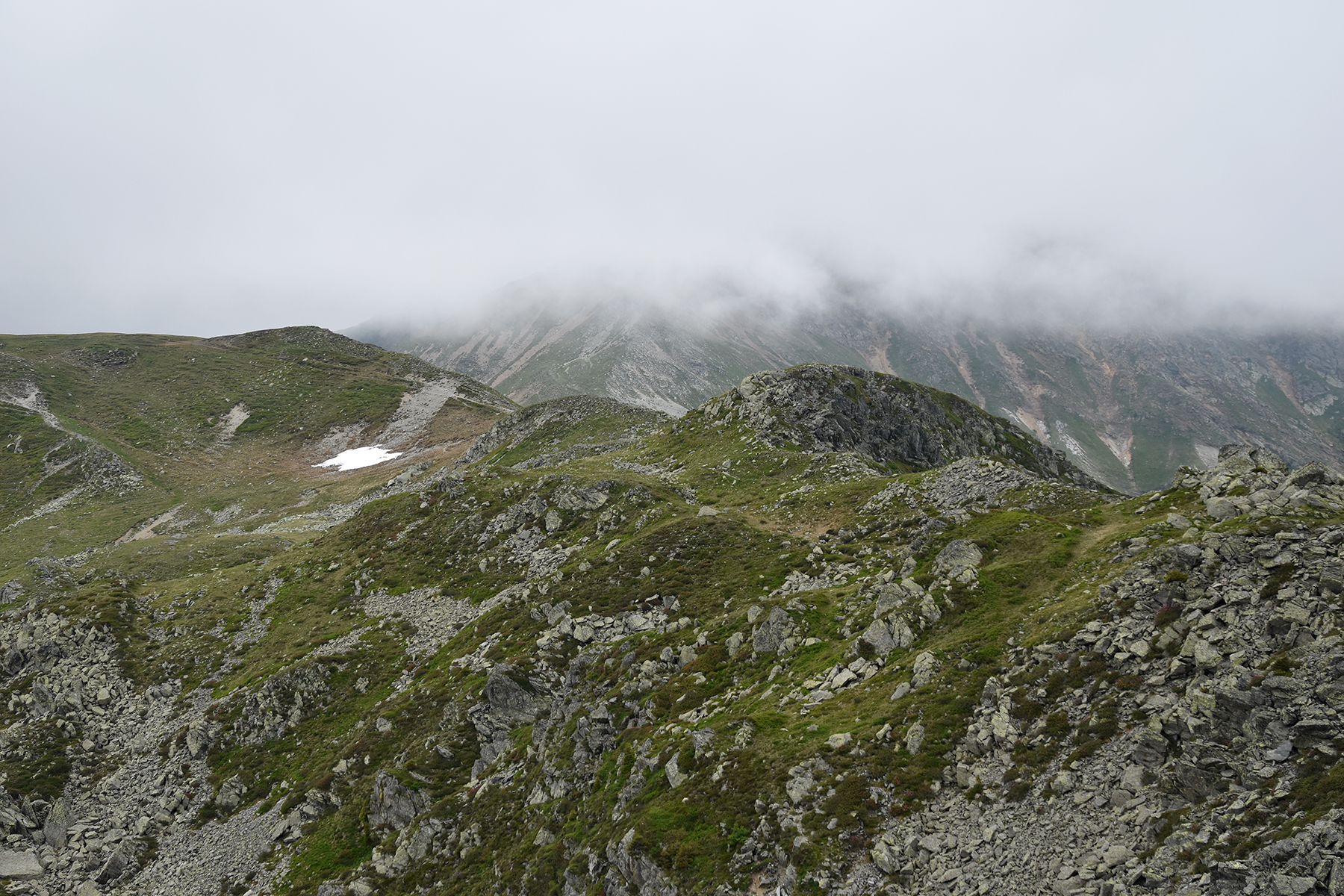
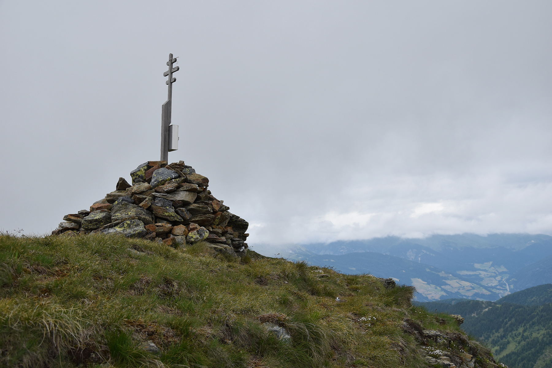
Arriving
at the summit 2441m. The clouds are, once again,
just above my head. |
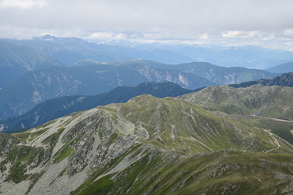
This is
a look back. Gänsekragen is in the middle here. |
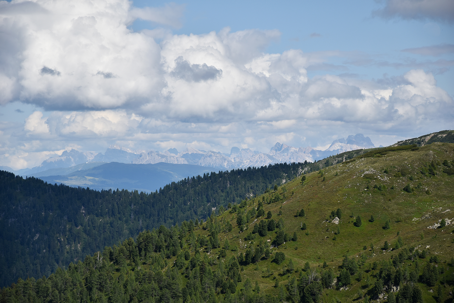
Finally,
just after leaving the road pass and now with even better weather,
parts of the Dolomites are visible to the southeast.
|

