|
|
|
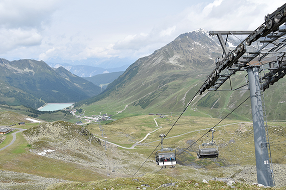
Today I use the
chairlift
from Kühtai
(2000m) up to
2400m. |
In
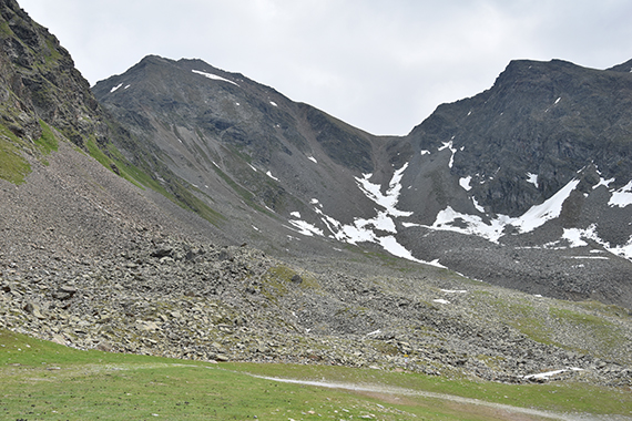
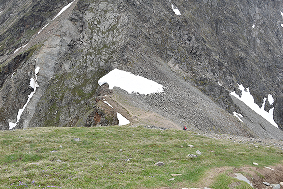
the other direction is the route to the summit. First you
climb to the
pass Gaiskogelscharte, a bit to the right. Then onwards to
the
summit, to the left. The trail is marked as
black, maybe not for
beginners then. But still, not to difficult according to me. |
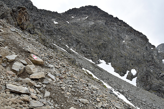
As
you get closer to the pass, the trail gets steeper.
|
|
|
|
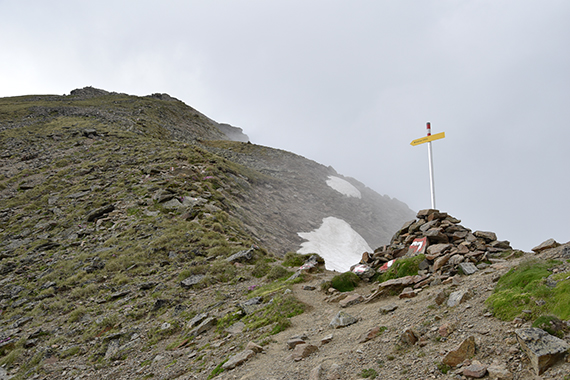
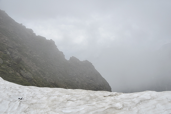
The
low
clouds are a matter of concern. What about the summit, how
will it be up there? This picture is taken to
the south. |
At the pass, Gaiskogelscharte 2658m.
|
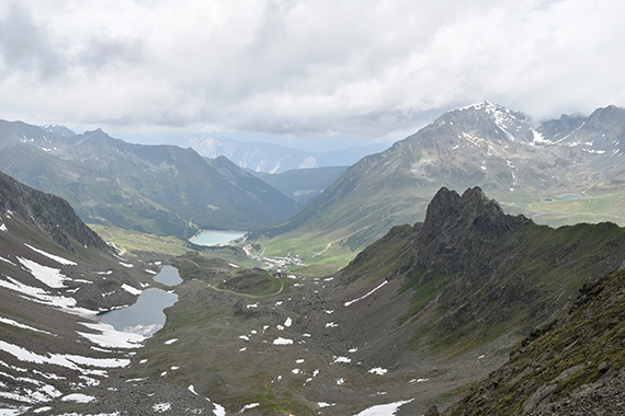
Looking
to the north is different, a lot better. You can see Kühtai
and even towards Inntal.
|
|
|
|
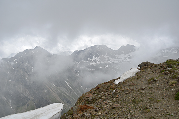
| Suddenly
it becomes magical! The clouds to the south disperse, opening
up a hole and I can see this. Wow! |
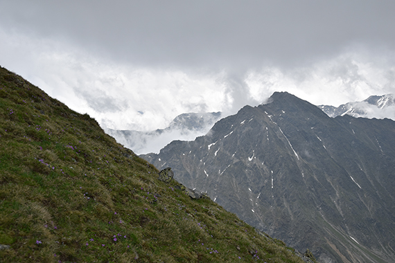
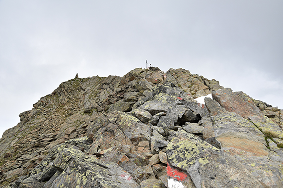
More
magic, now on the final climb to the
summit. |
Here's
a look back towards the pass. I just met a man going down. That's the
only person I will meet up here.
|
|
 |
|
A
bit
further up is the summit. During this last section you
will have to use
the hands now and then. But it's no big
issue. |
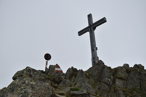
At the
summit. The clouds are just above. |
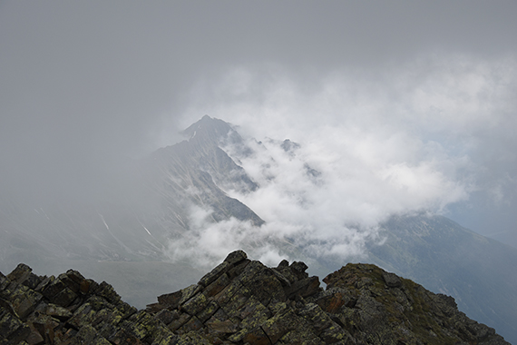
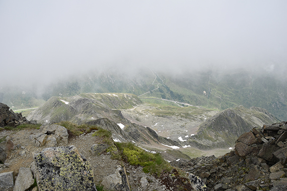
More
"cloud magic", this time from the summit.
|
|
|
|
| And
then some. After a while the clouds cover the summit
completely, and I
start the descent for clear air. |
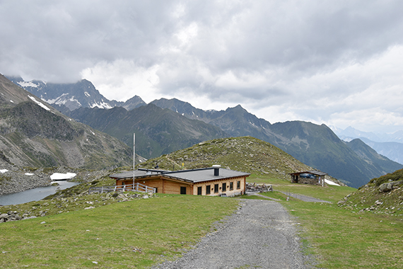
I skip
the lift, going down all the way to Kühtai at
2000m. This way I pass Drei Seen Hütte,
for a stop and a cappuccino. |
|
