
|
|

|
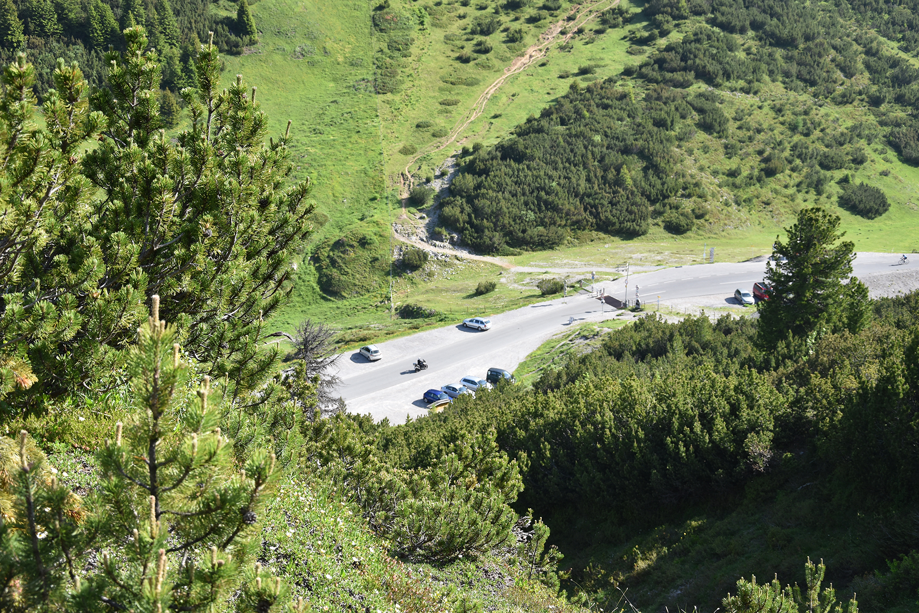
Today I park my car at
the road
pass Hahntennjoch, at
1900m. I start walking at 8:45. |
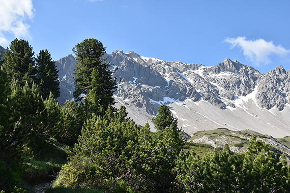
After
100 altitude meters, you can see where you are
heading. |
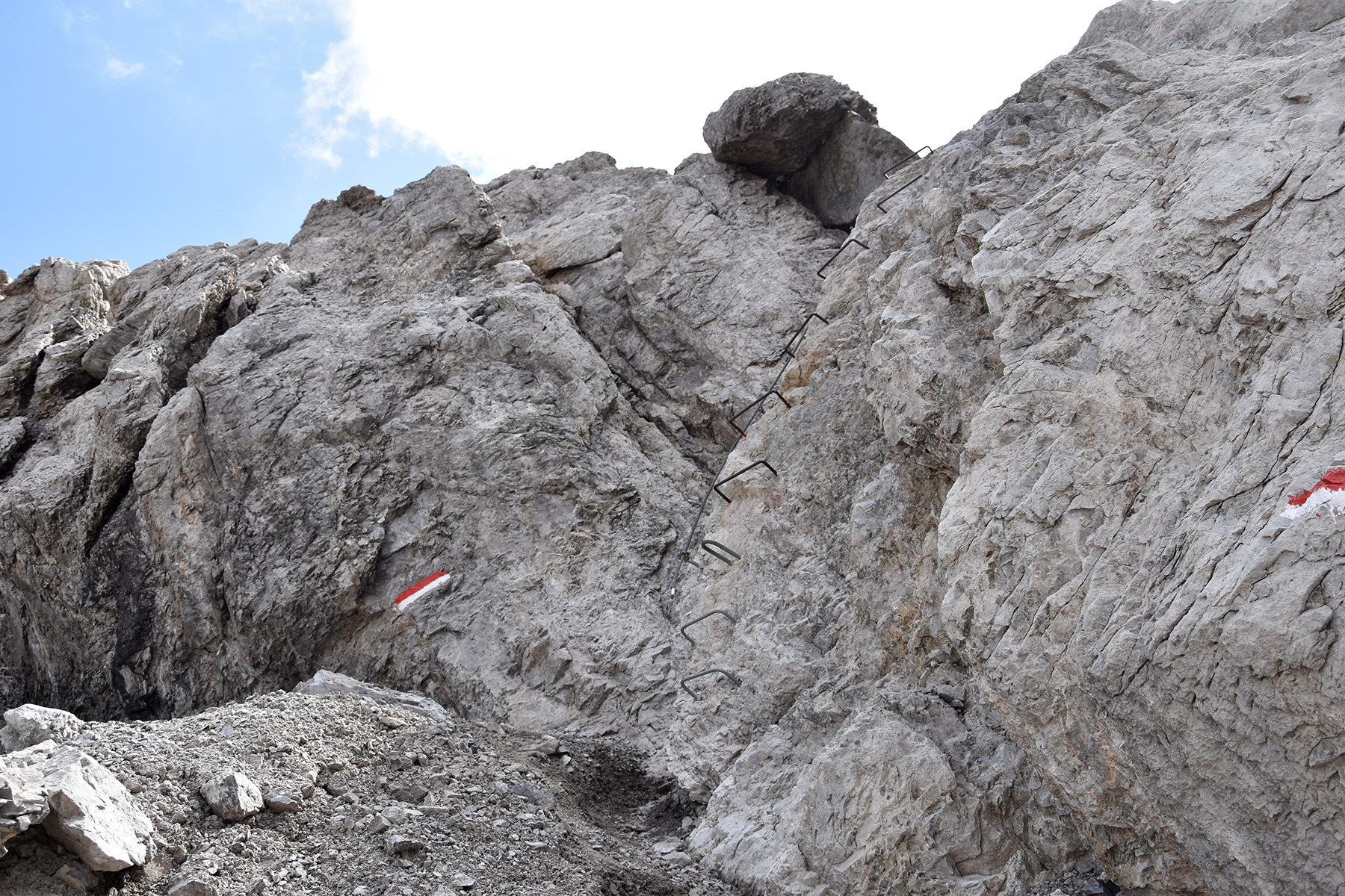
A
little more than one hour later, it gets considerably steeper. The real
climb starts here, with steel wires in the steeper sections.
|
|
|
|
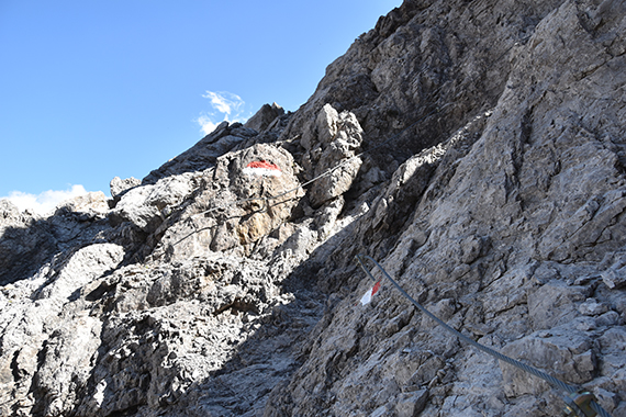
More wires, as I get closer to
the pass
Scharnitzsattel,
2441m. |
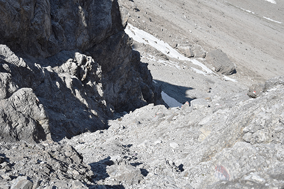
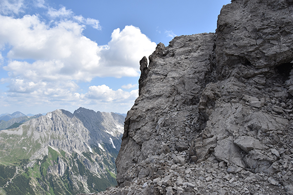
A look
down. Here are no wires, but you need to be careful here. Plenty of
small stones to make it slippery. |
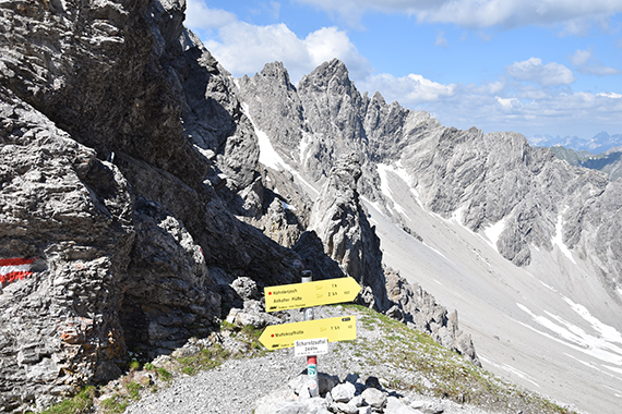
At the
pass on 2441m. Just some 100m left to the summit now. But this part is
tricky.
|
|
|
|
|
There
are a number of sections, without any wires or other help. Be
careful
here. This is the final climb to the summit. |
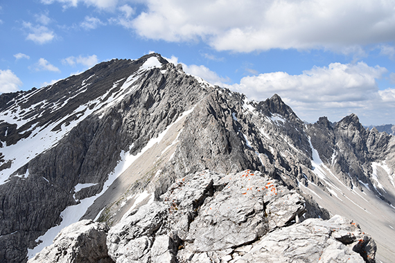
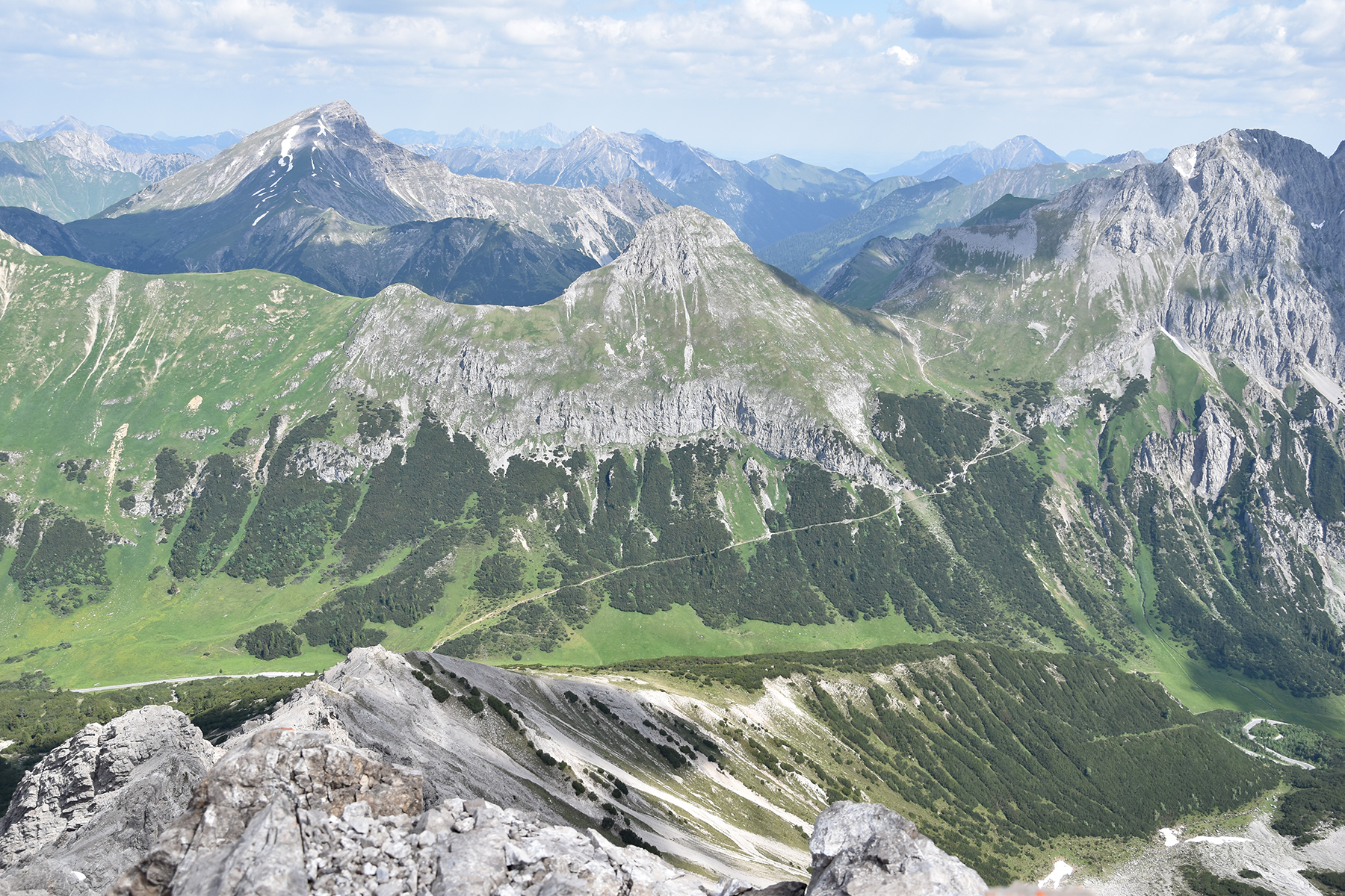
The
summit is quite small, a few persons can
sit up here.
To the southwest is
Muttekopf 2774m. |
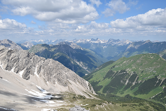
Here
is to the northwest.
|
|
|
|
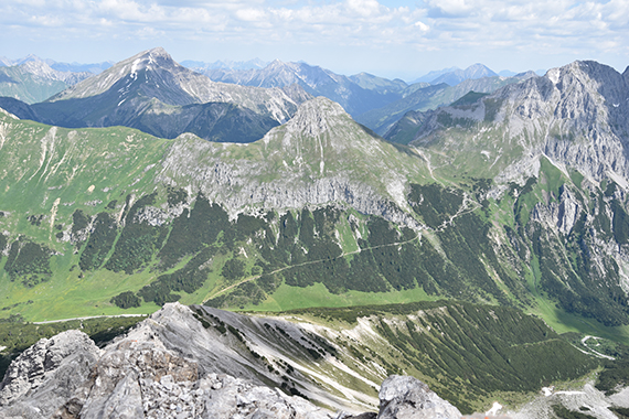
| To
the
north, on the other side of the roadpass, is Falscher Kogel.
I climbed
that one in 2018, with Sören. |
|
|


