|
|
|
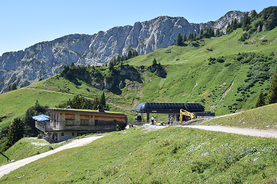
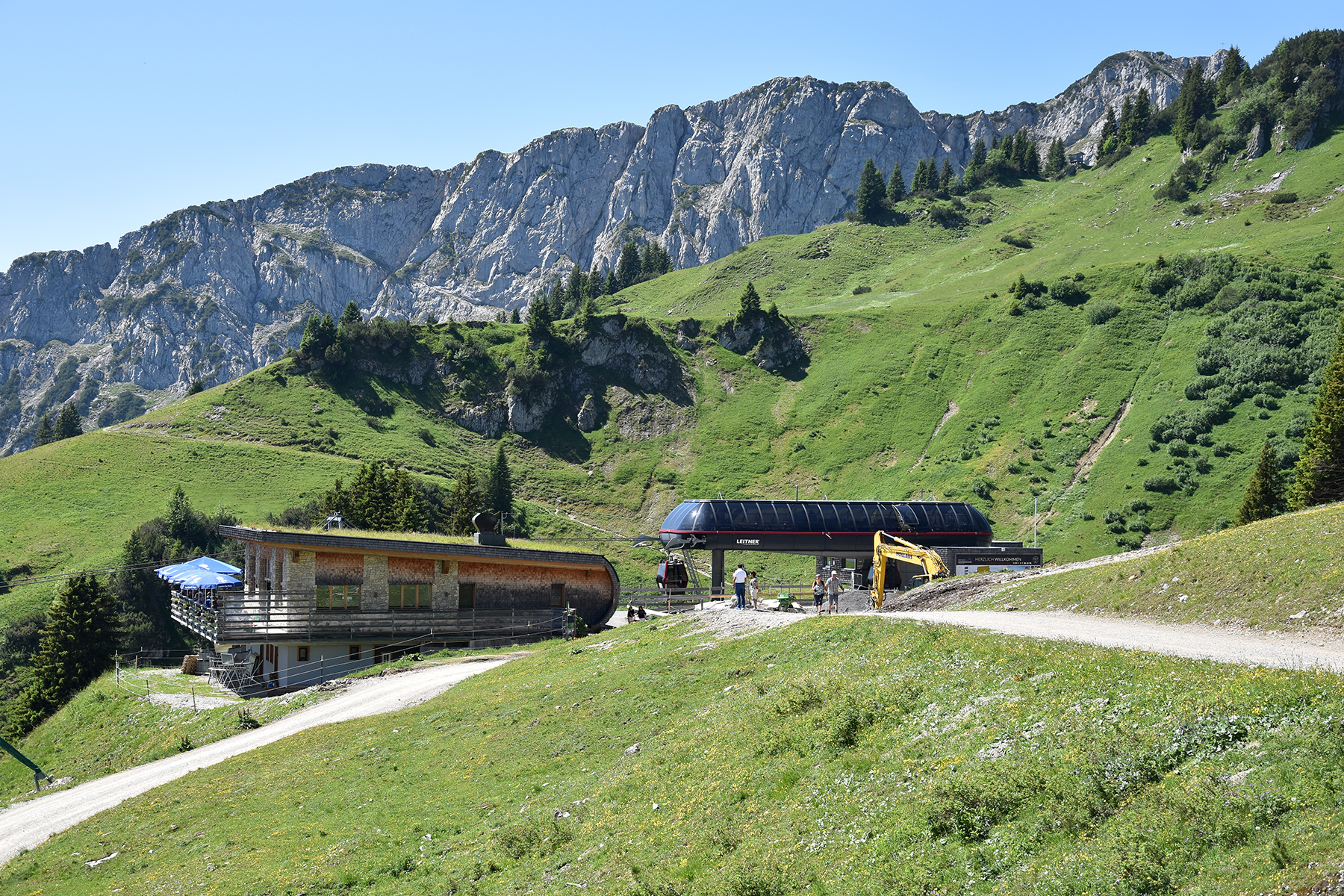
This
is the upper station of Hahnenkammbahn from Reutte. (There
are more
than one Hahnenkamm in Austria.) This
area is part of
the Nördlicher Kalkalpen, very beautiful
mountains. |
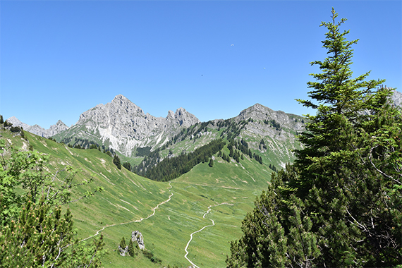
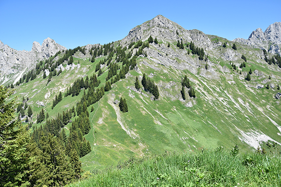
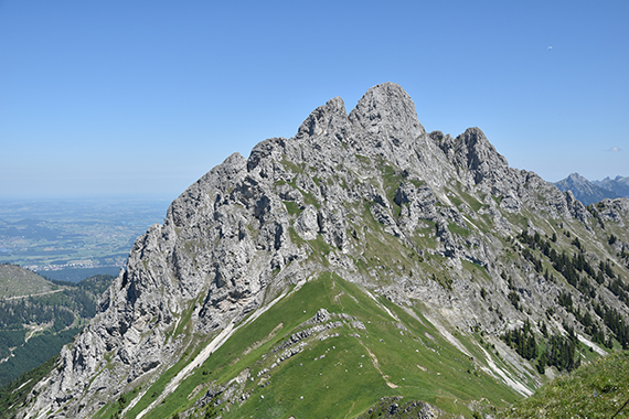
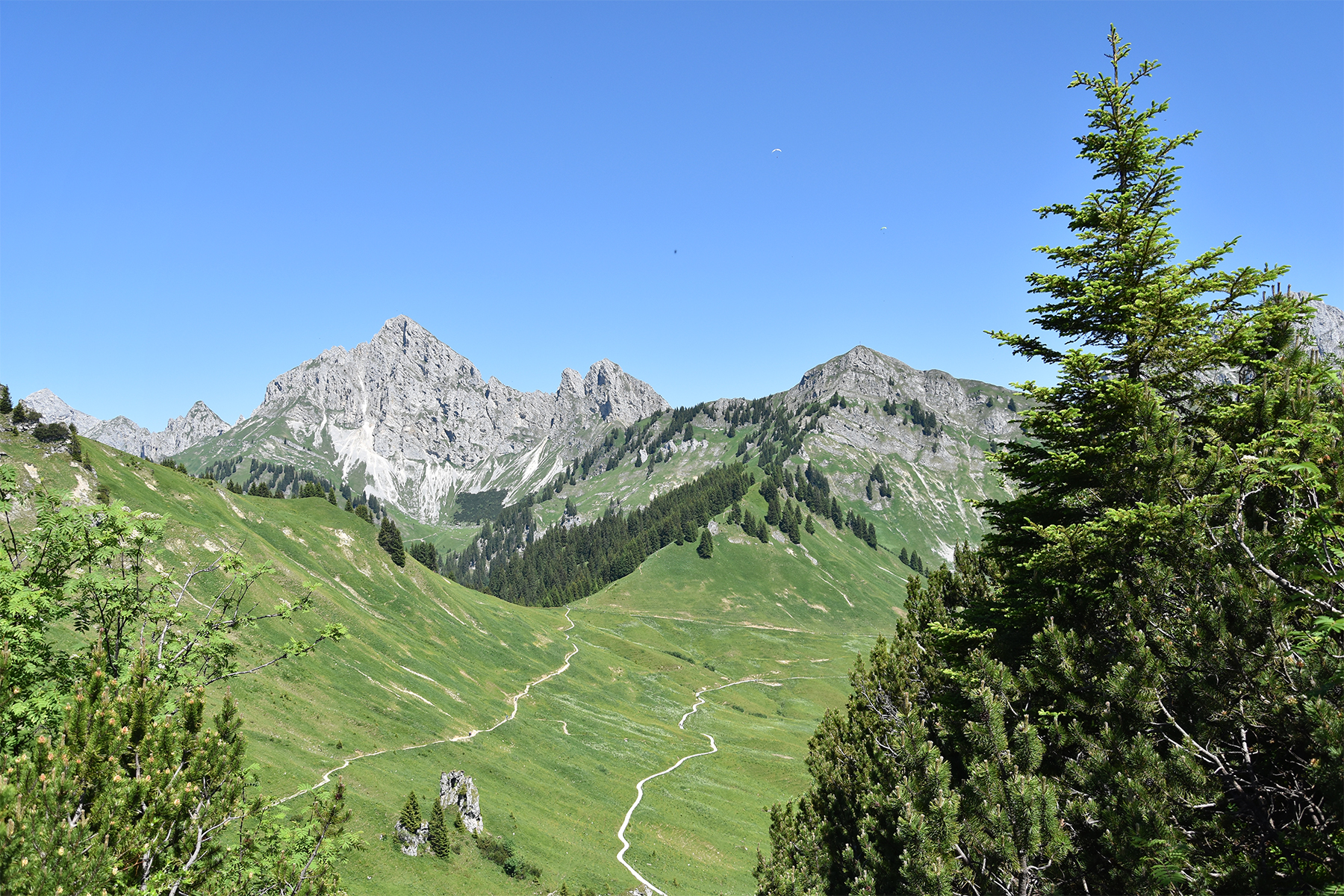
After a
short walk, Schneidspitze
is visible ahead. Here
it's to the right. A good way to get there is to
cross over
Die Ditzl, here in front of Schneidspitze. |
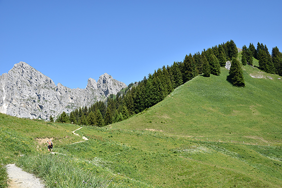
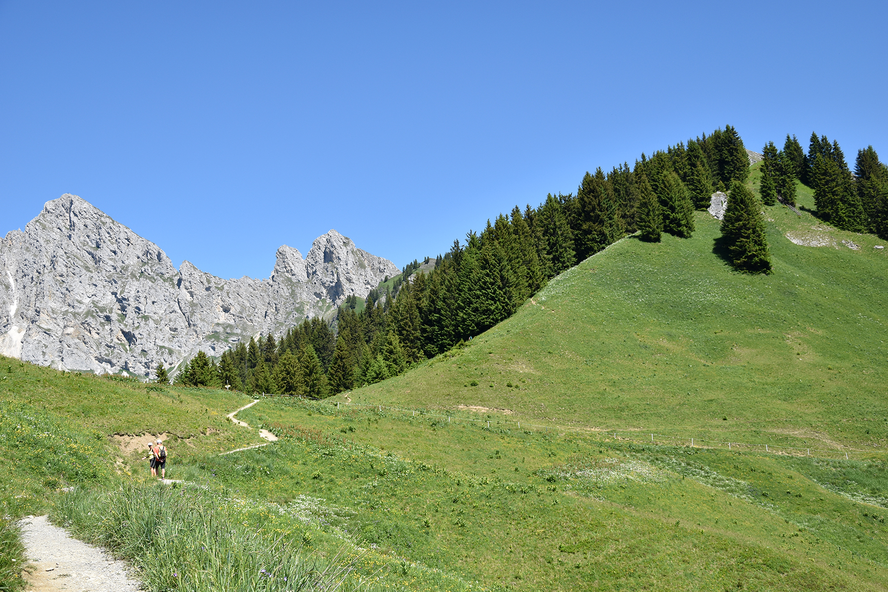
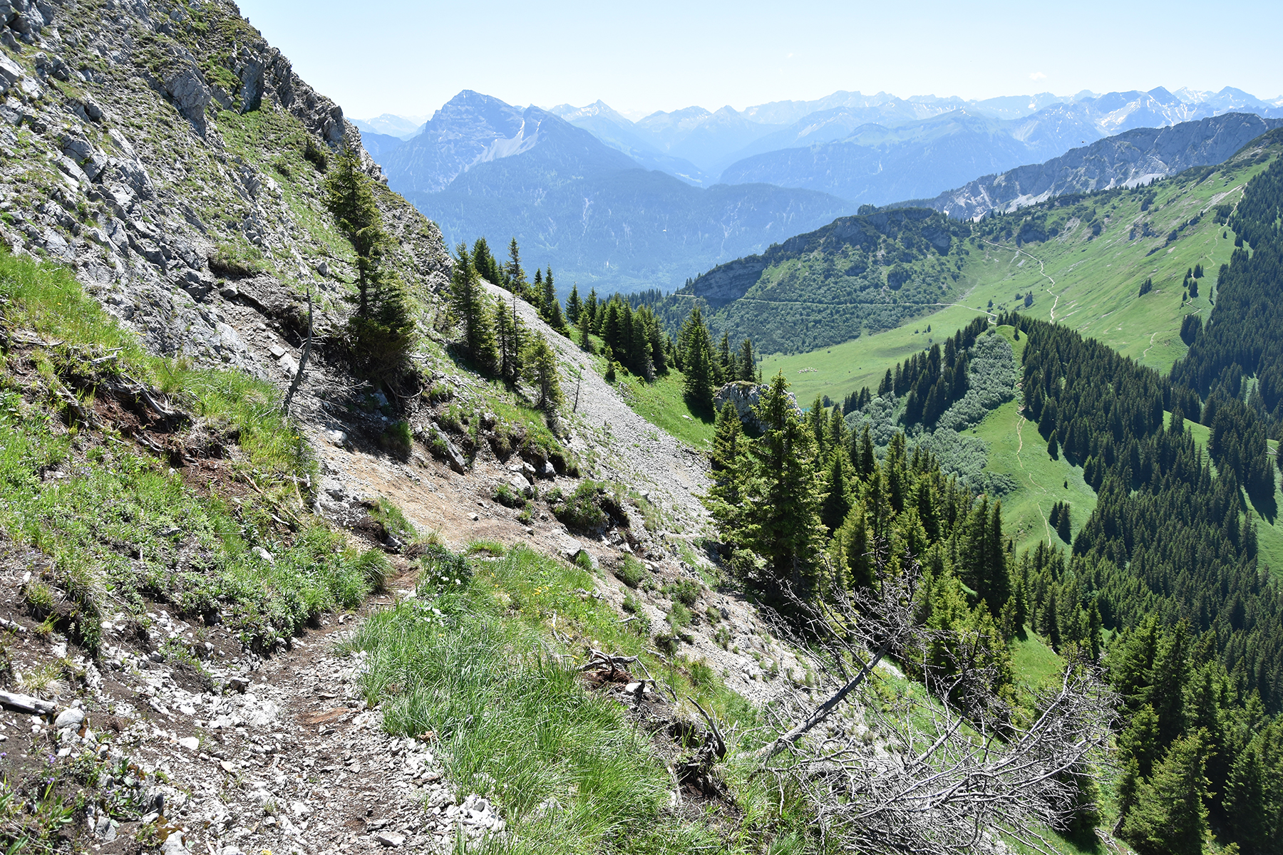
Arriving
at the foot of Die Ditzl. It's no
more than 100 altitude meters up there, doesn't take long to
climb.
|
|
|
|
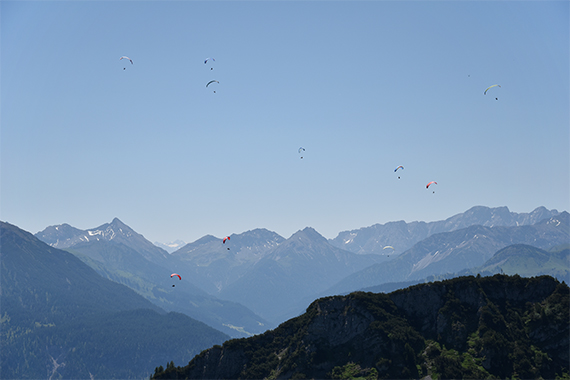
| The paragliders have found a
thermal and
gather like mosqitoes, to gain altitude. |
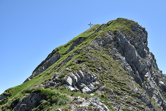
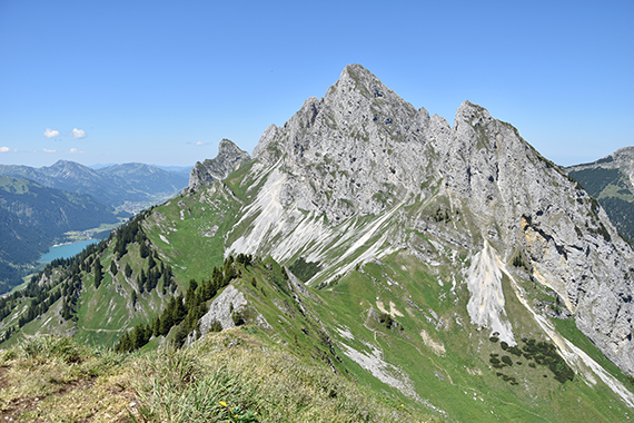
From
the summit of Die Ditzl 1817m, you descend 60m to
the pass Hochjoch, at the bottom of this picture. |
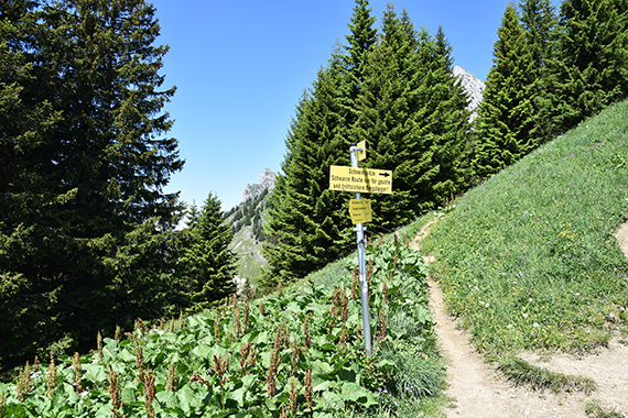
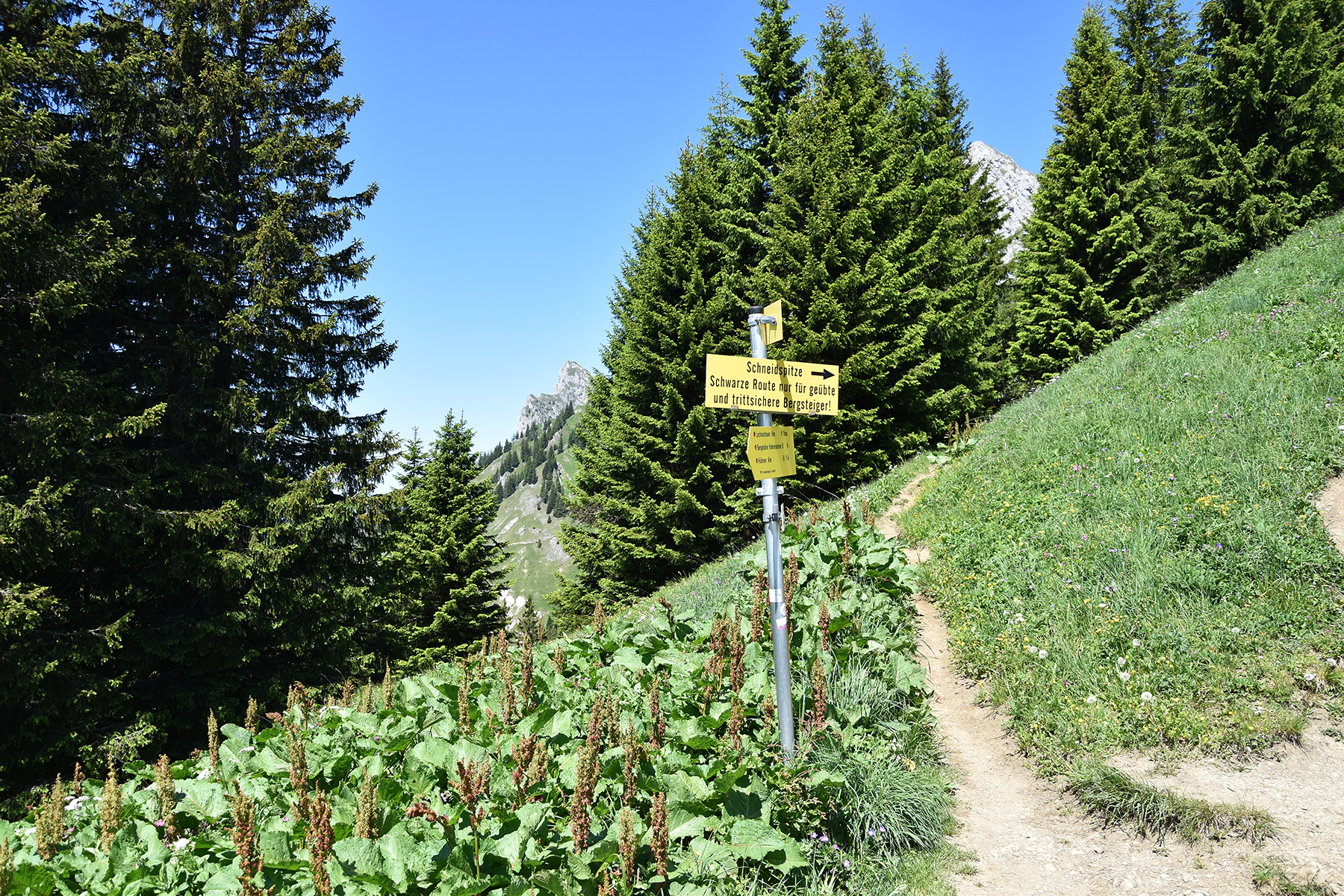
The
sign at Hochjoch says that the path to the summit is black.
Maybe
not for beginners then, but there are no wirers anywhere. A bit steep
though.
|

|
|
|
| Looking
back to Die Ditzl during the climb. |
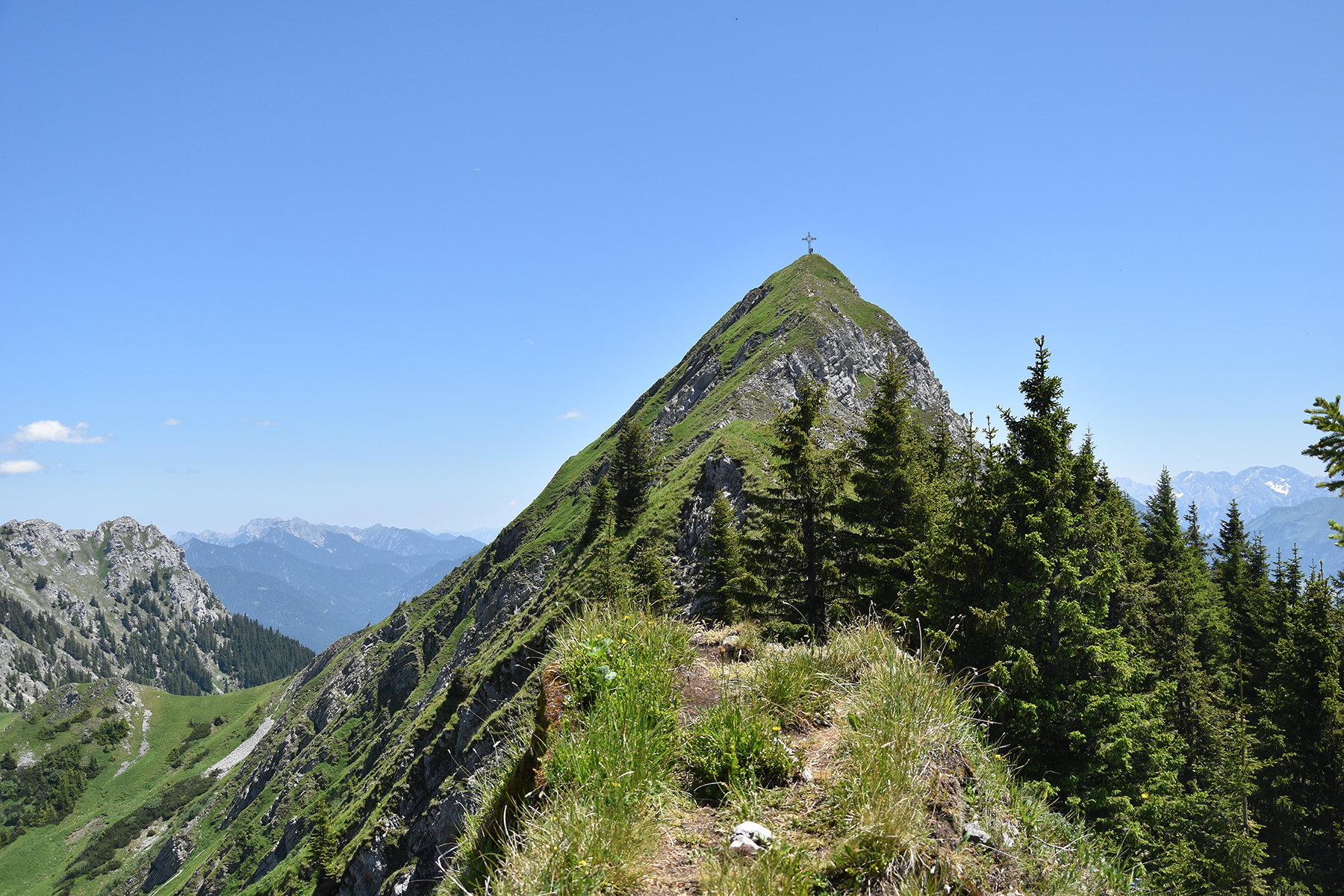
The final climb to the summit. |
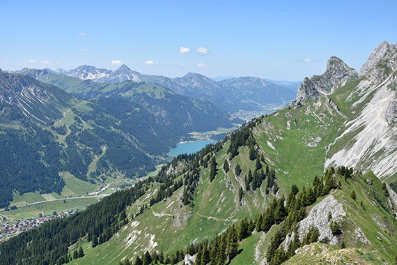
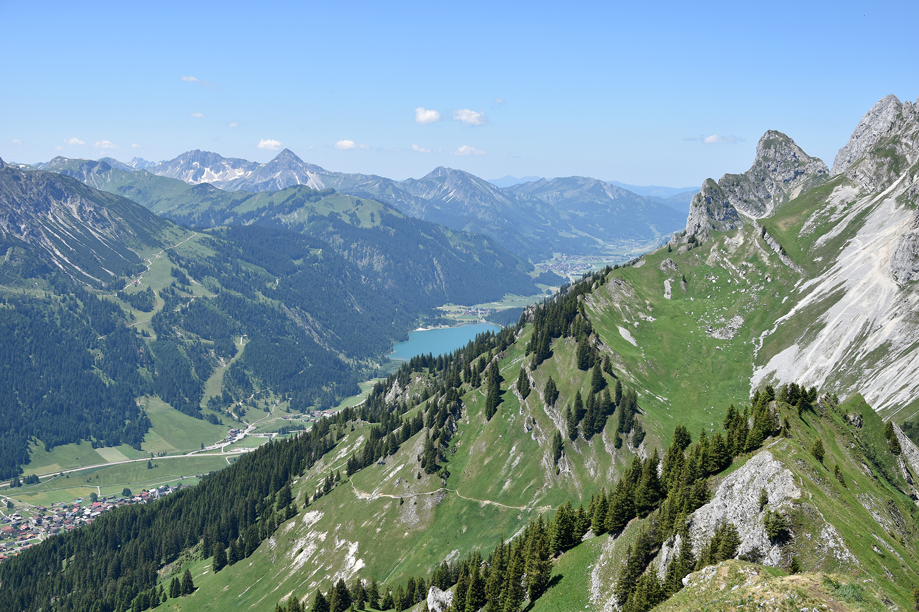
Nice
views down to Tannheimer Tal from the summit.
|
|

|
|
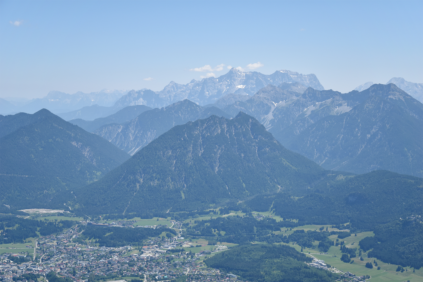
| To the
north is Gehrenspitze 2163m. Behind it the German
flatlands. |
To the
east is Reutte down in the valley. Far away you can
see Zugspitze 2962m. |
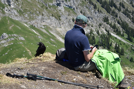
It's
easy to find a new friend up here. You will be most successful if you
have a piece of bread.
|
|

|

|
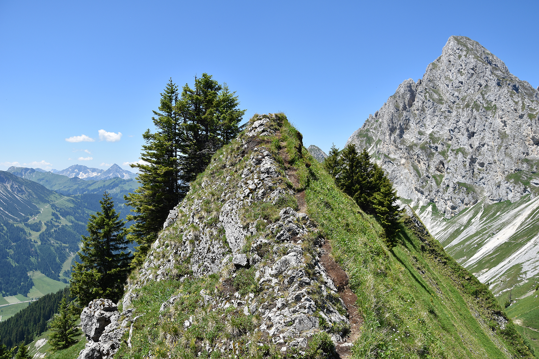
I
decide to take a different route going down. I want to try
the ridge,
leading to the pass Sabachjoch. The pass is just
below the
middle
in this picture. |
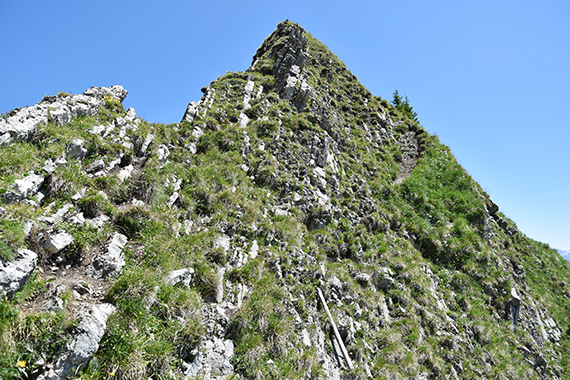
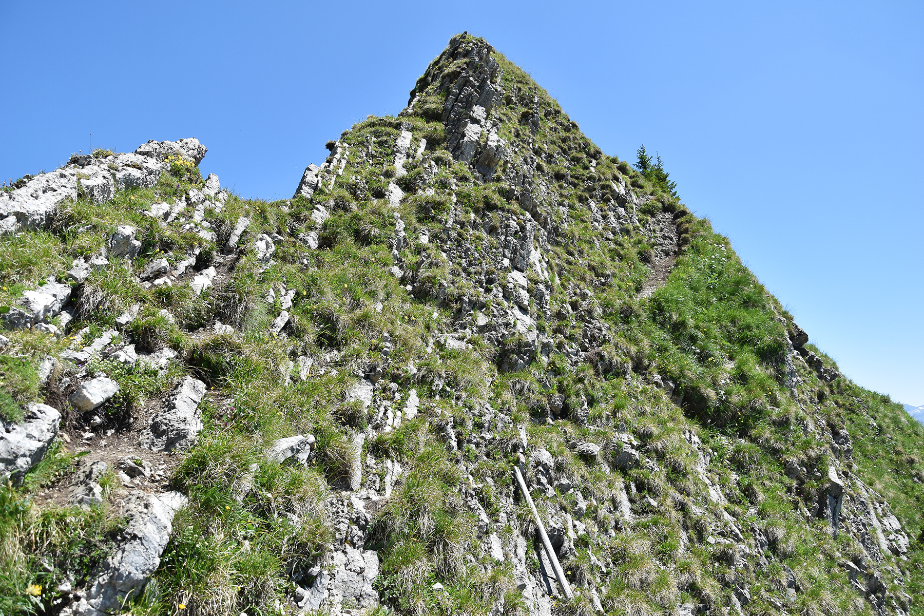
This
ridge should be avoided if you can get vertigo. |
Looking
back to Schneidspitze from the ridge.
|
|

|
|
During
this passage, along the cliff wall, there are lots of
grips for hands
and feet. But you should be careful and
in focus. |
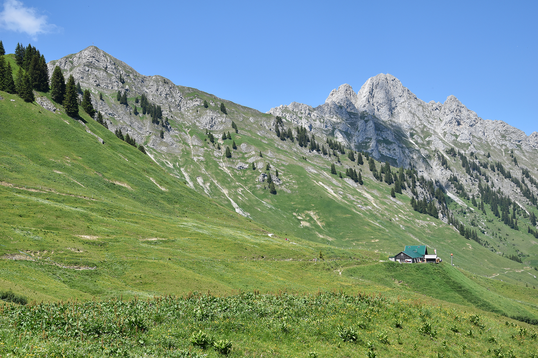
Going
back again, I take the route passing Lechaschauer Alm. I would say that
their cappuccino is quite tasty. |
|


