|

|
|
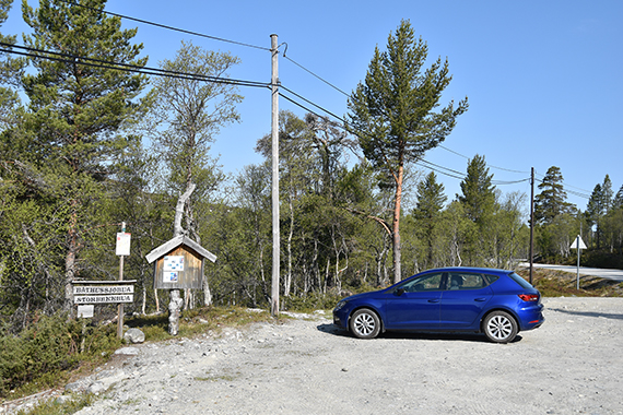
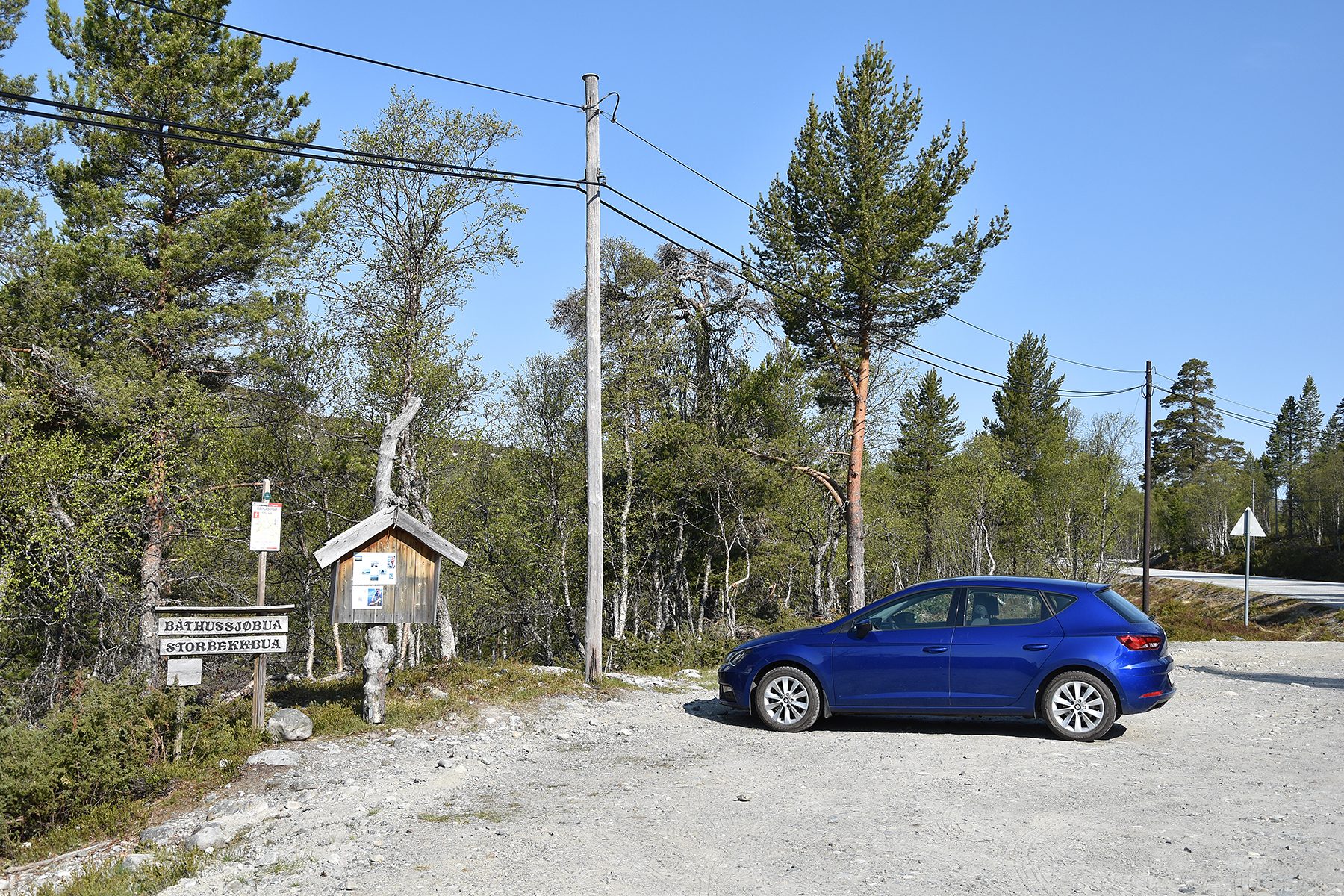
This parking place is
along the
road from Grövelsjön in Sweden to Elgå in Norway.
It's the starting point of the
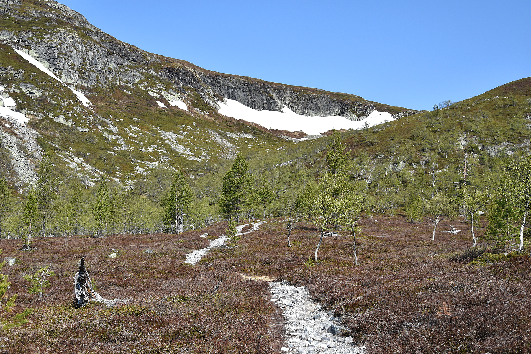
trail leading to Djupsjøberget and Båthusberget. |
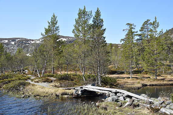
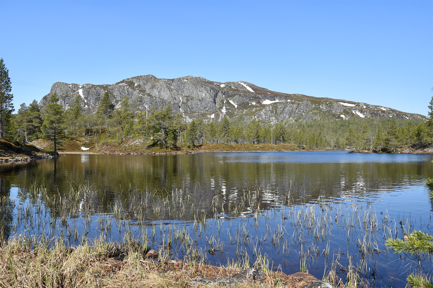
The
ascent is a bit to the right and the descent to the left.
First you
pass a few lakes, very beautiful. |
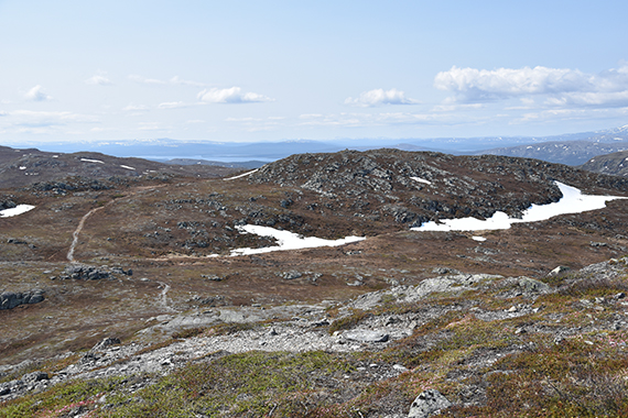
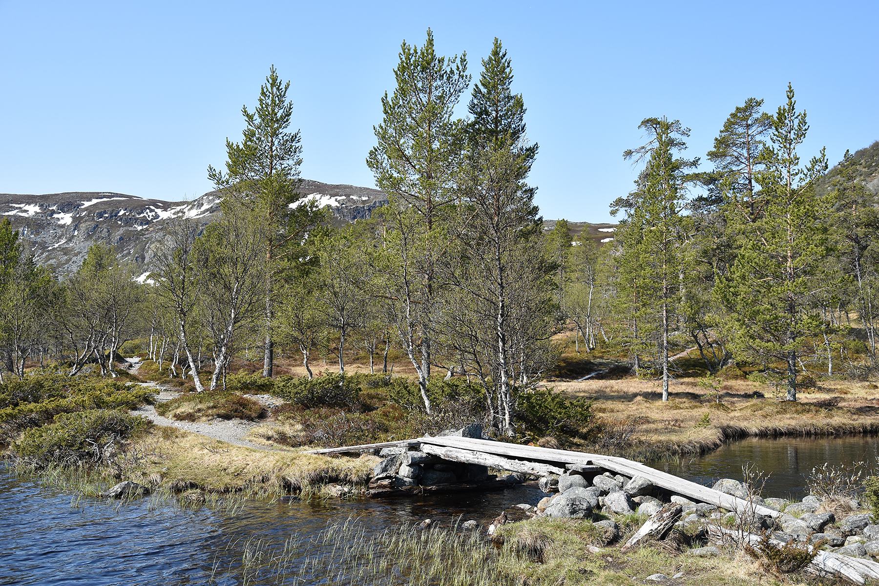
The
trail is easy to follow, even if you need to know the map. (There is
one at the parking place.) After this bridge you take to the
right.
|

|

|
|
|
After half an hour the real climb
begins. |
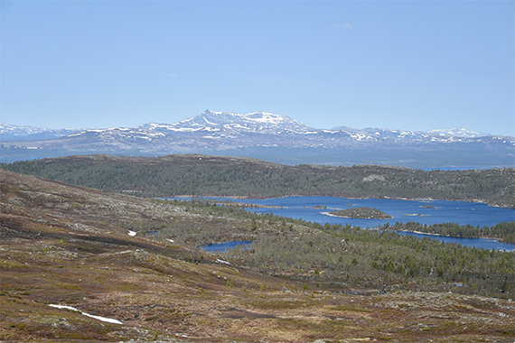
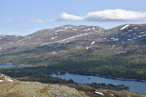
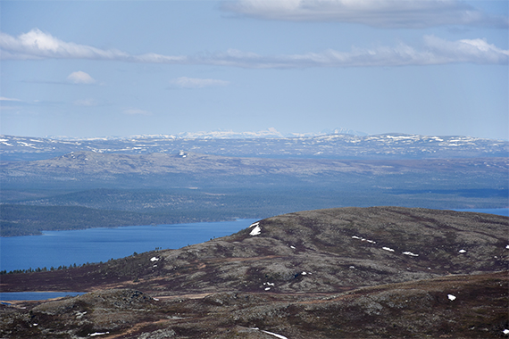
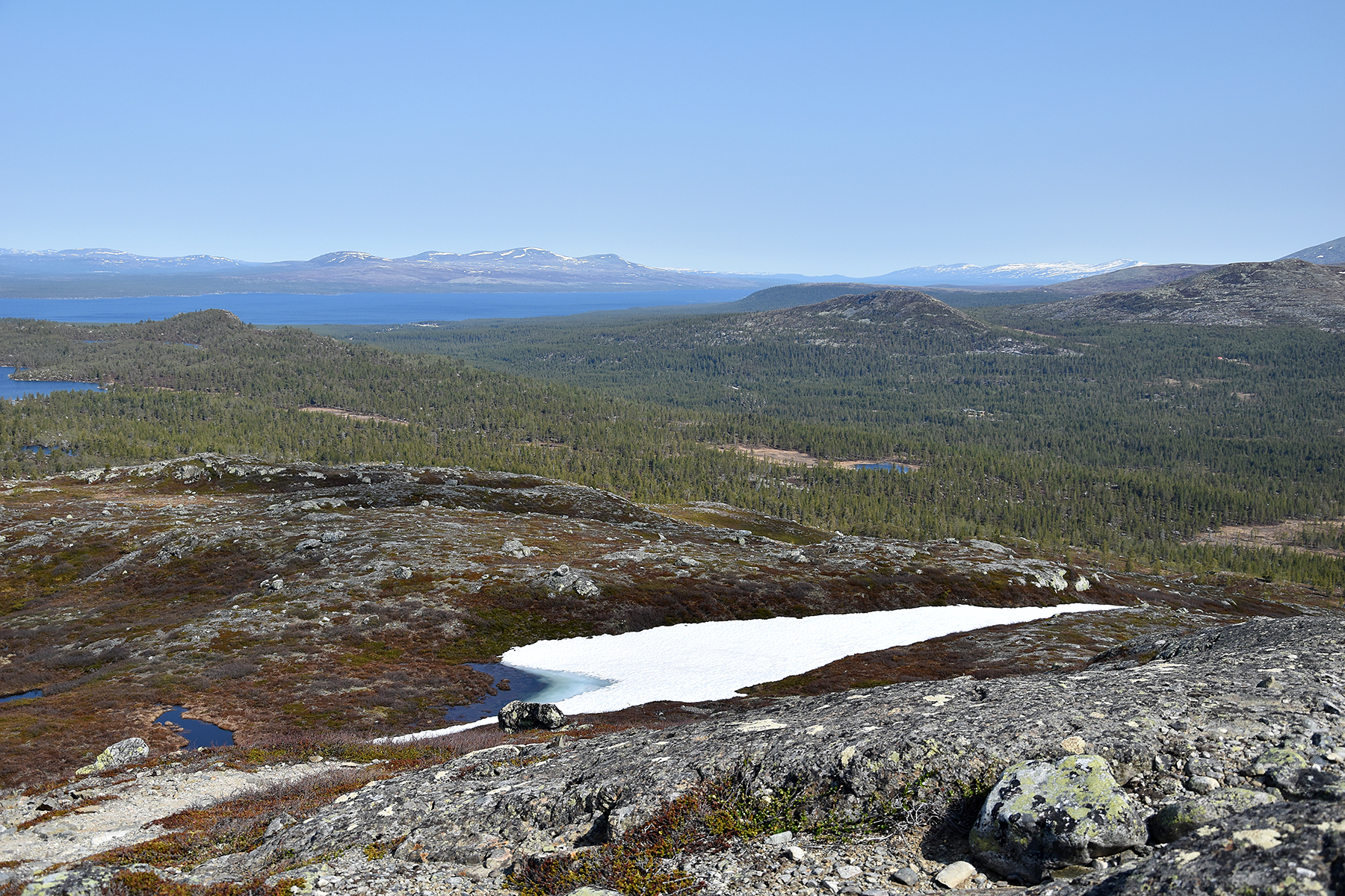
A short
brake at 1000m. From here you can see the third largest lake in Norway,
Femunden, to the west. |
West
of Femunden there are a number of peaks,
reaching 1500-1600m.
|
|
|

|
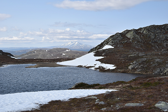
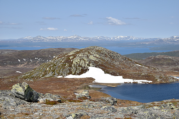
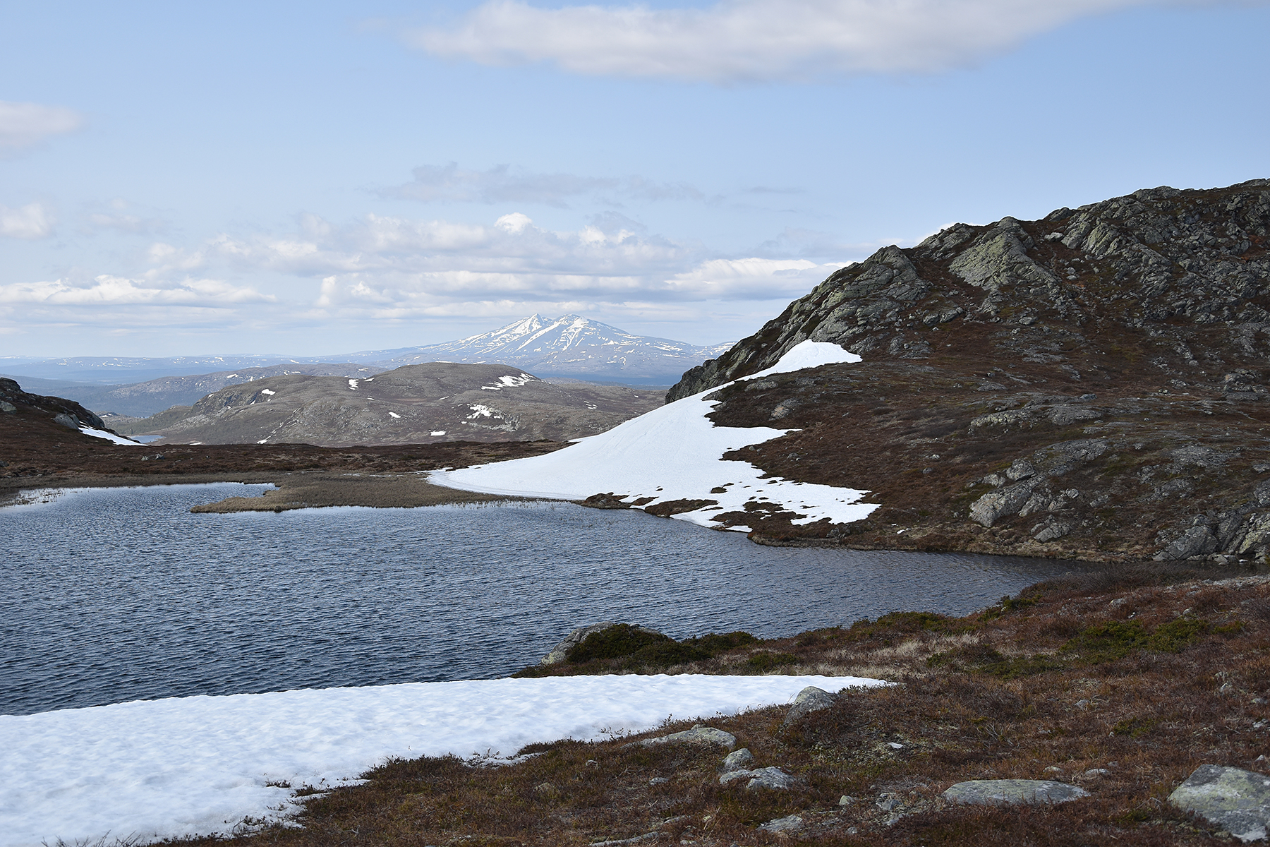
A small
mountain lake at 1060m. In the backgrount is
Sølen
(The Queen) 1755m. |
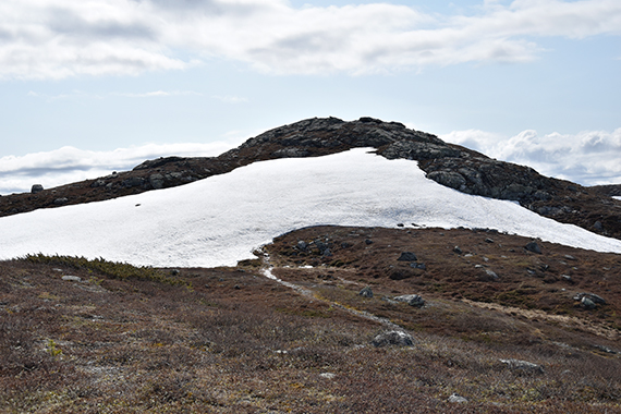
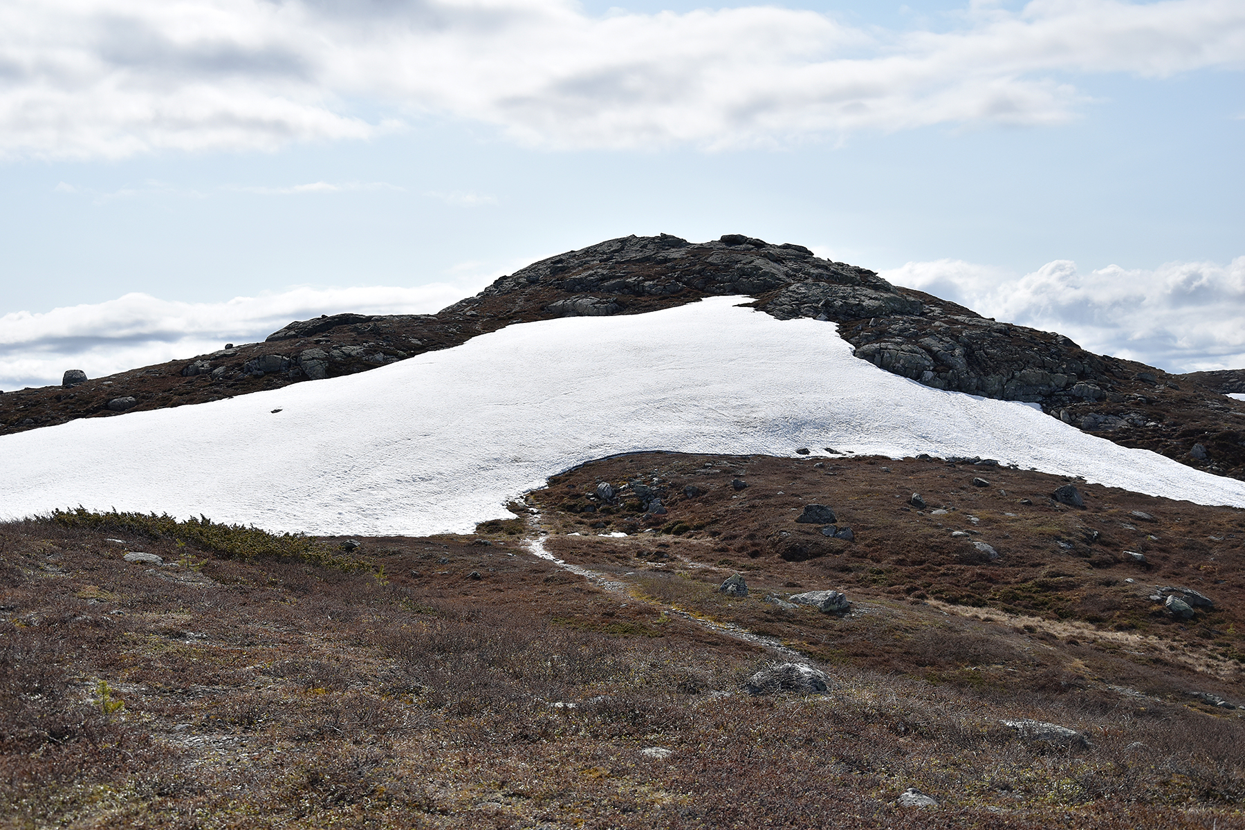
Final climb to the summit. I go around the
snow field, because the snow is rather soft. |
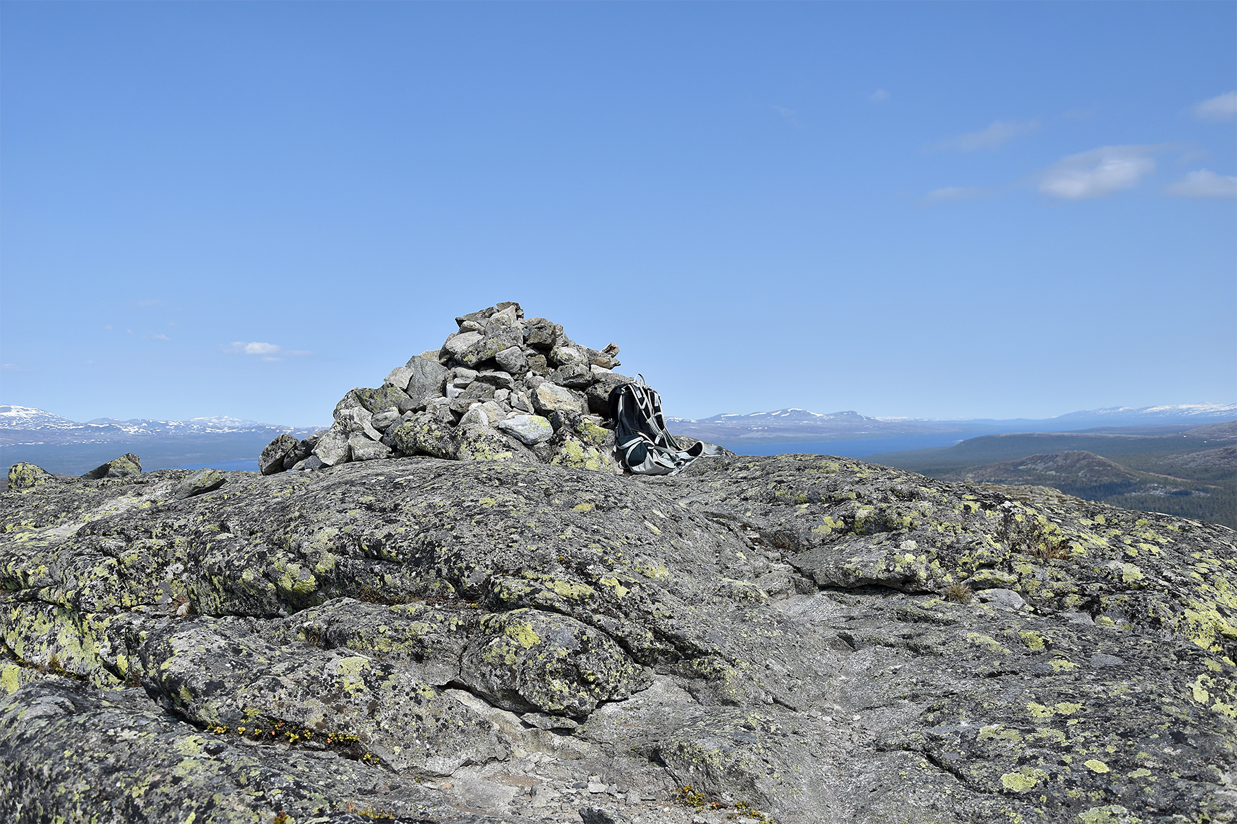
The
summit cairn at Djupsjøberget 1112m. I needed 1,5h
getting up here.
|
 |
|
|
To
the southeast, far into
Sweden, is the summit of
Städjan. It's in the middle here. |
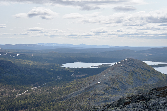
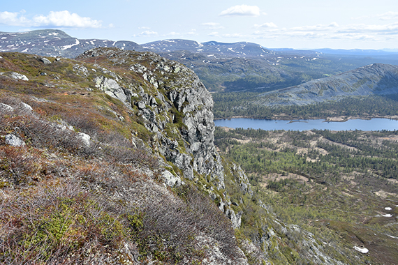
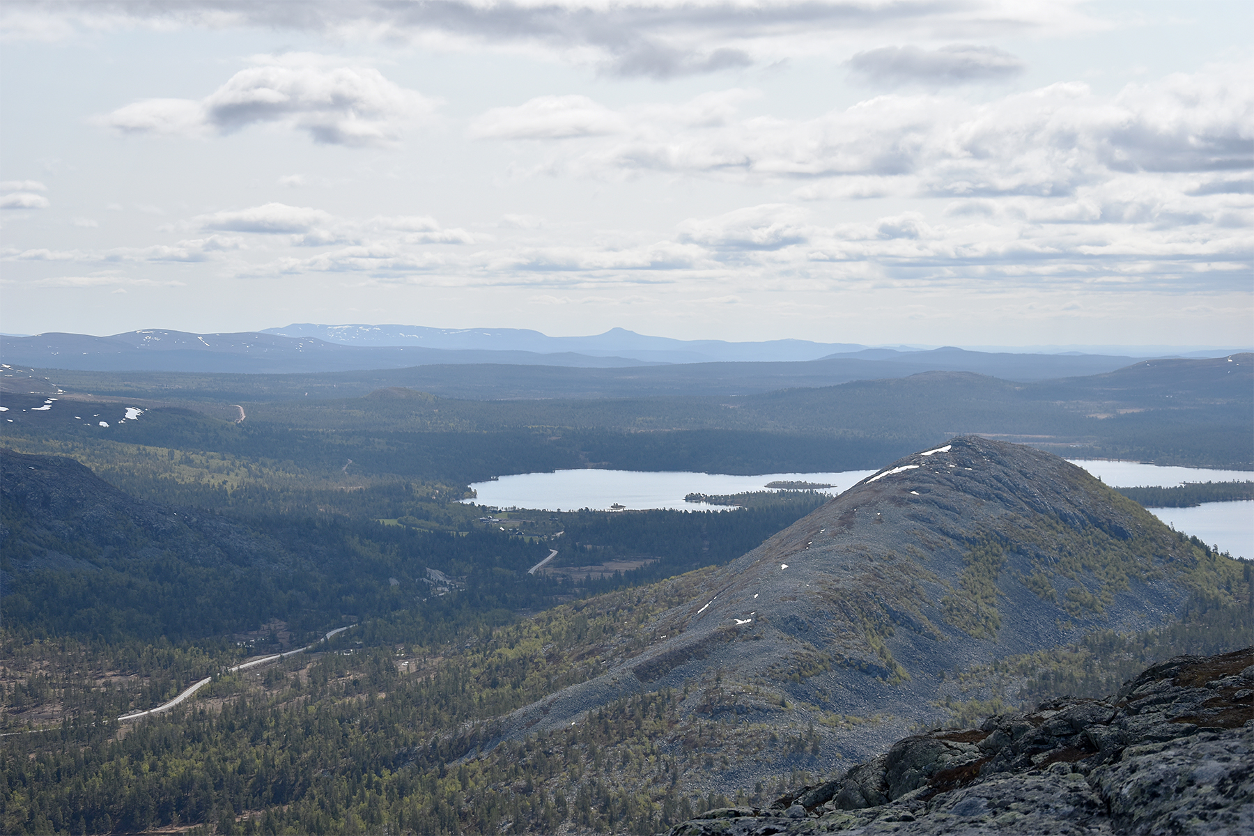
To
the north and much closer, Elgåhogna 1460m. |
To
the west of the small lake is the western summit of Djupsjøberget
1099m. Behind you can see more of the lake Femunden.
|
|
 |
|
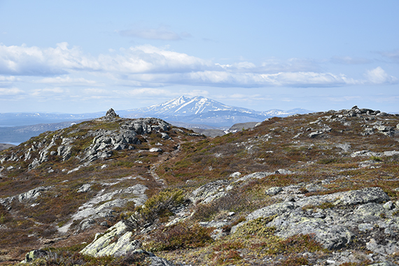
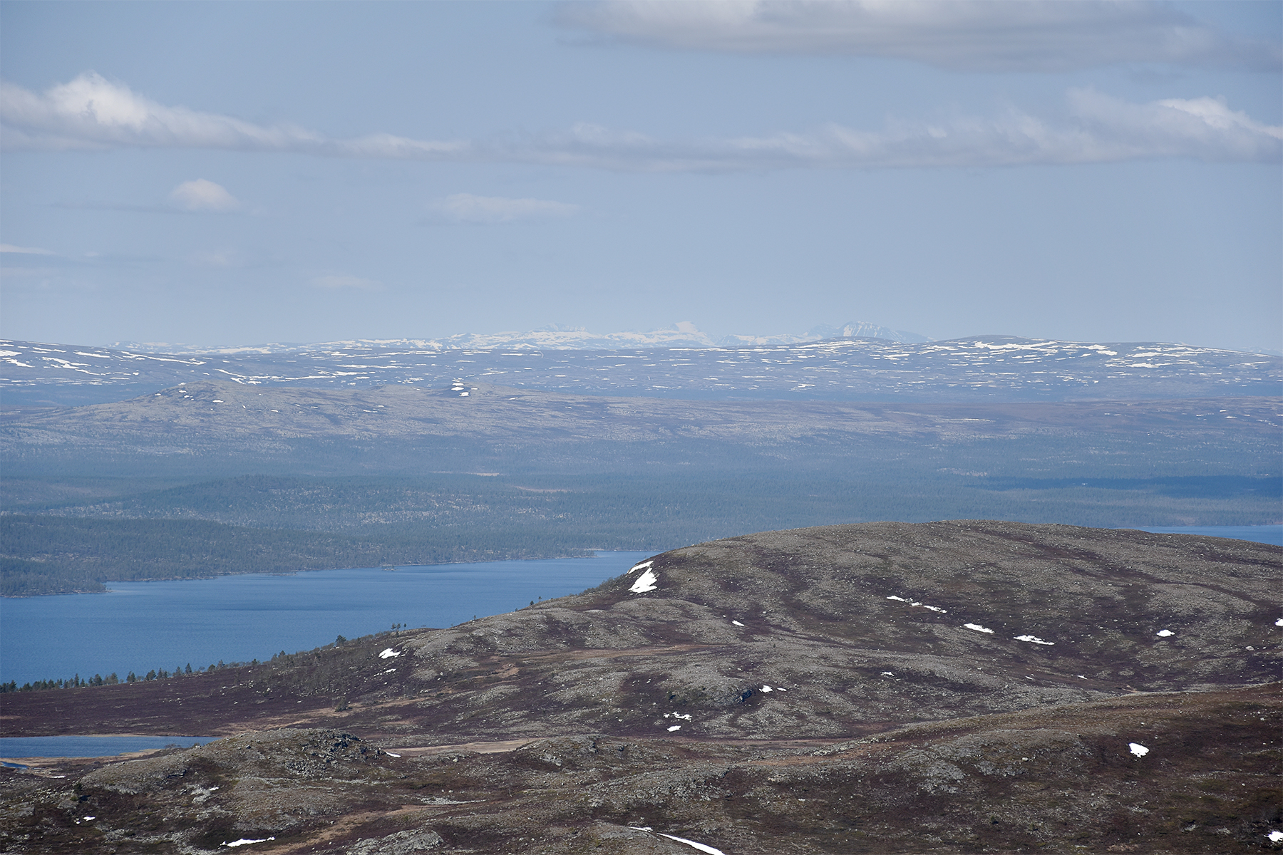
I
believe it's the 2000m-peaks in Rondane you can see
here, far to the
west. Its more than 100km there... |
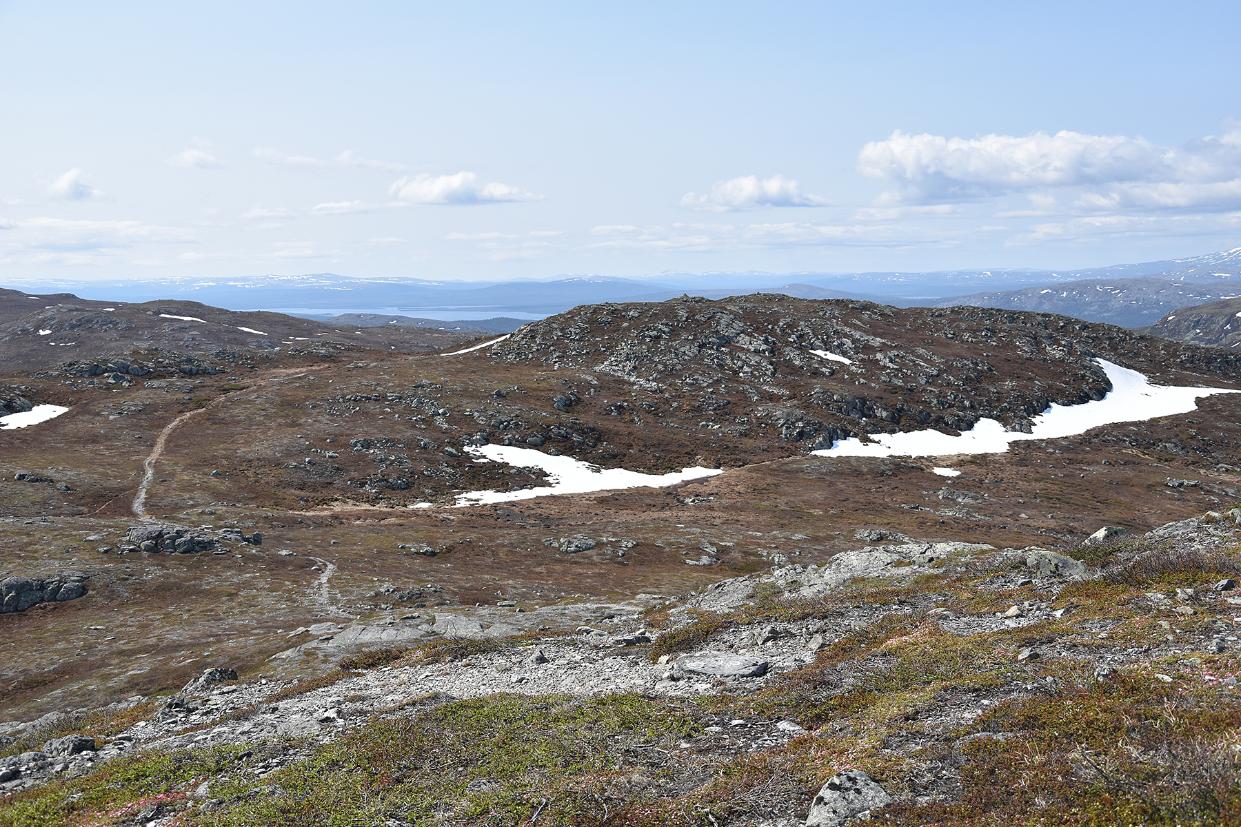
Time
to move on to Båthusberget. Easy to follow the trail
all the
time. |
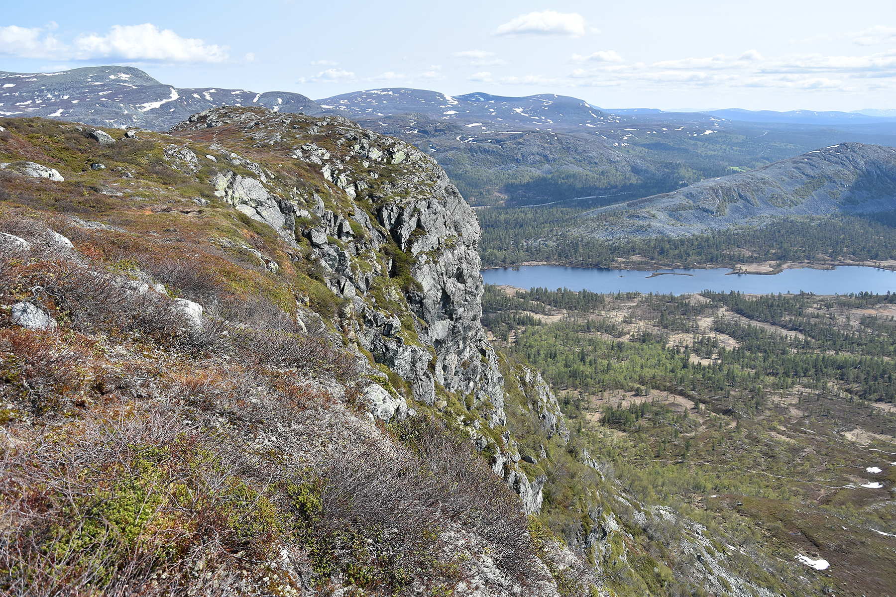
Arriving
at the summit of Båthusberget, a short while later.
|
|
|
|
Far
below, to the right in this picture, is the trail that finally
leads
back to the car. |
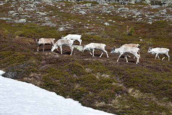
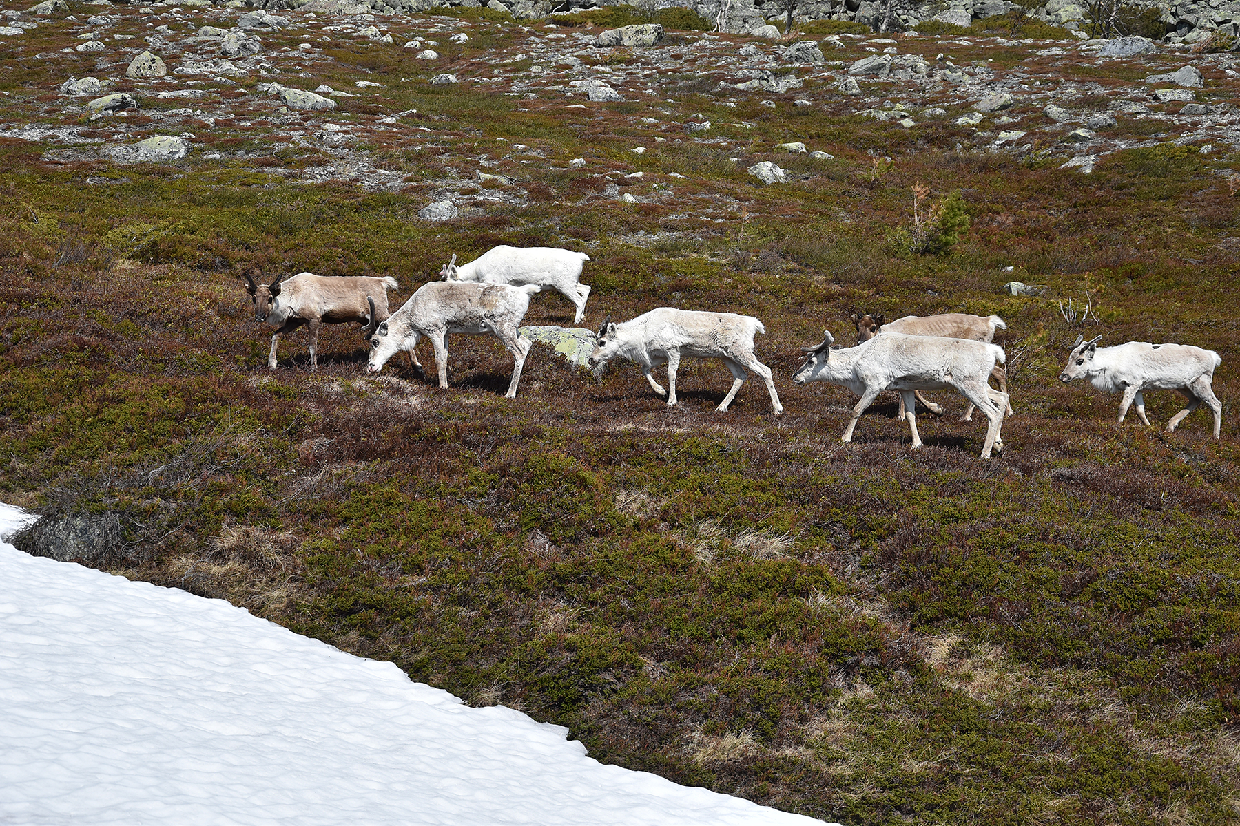
A while
later, at that trail, I make a close encounter with
some reindeers. Now
my day is perfect! I reach my car
after a bit more than 3h. |
|


