
|
|
|
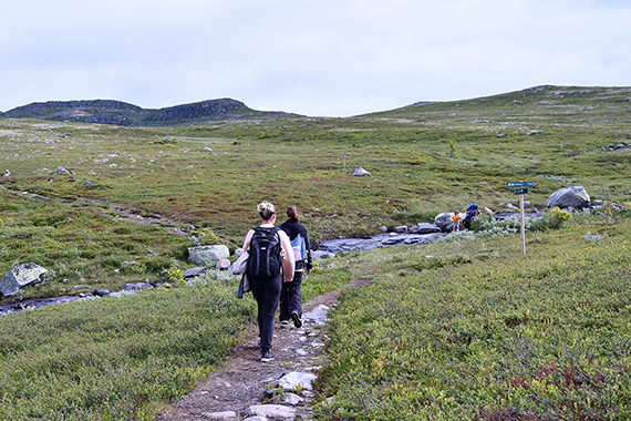
It's
time to go home today. The original plan, to climb a
peak at Hemsedal
first has to be abandoned, due to
rain and low clouds. Time for plan B. We
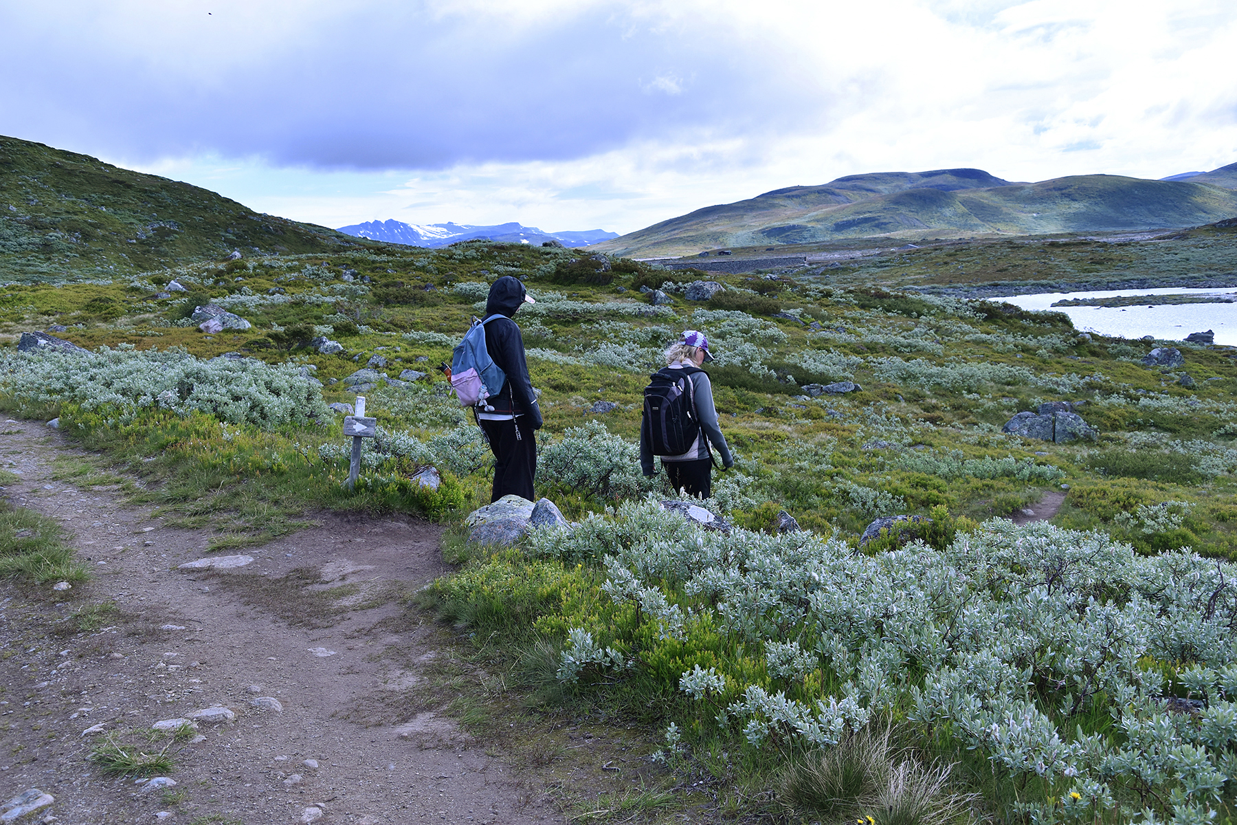
stop at
the Norefjell area, parking the car at 920m
altitude. |
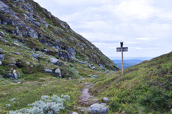
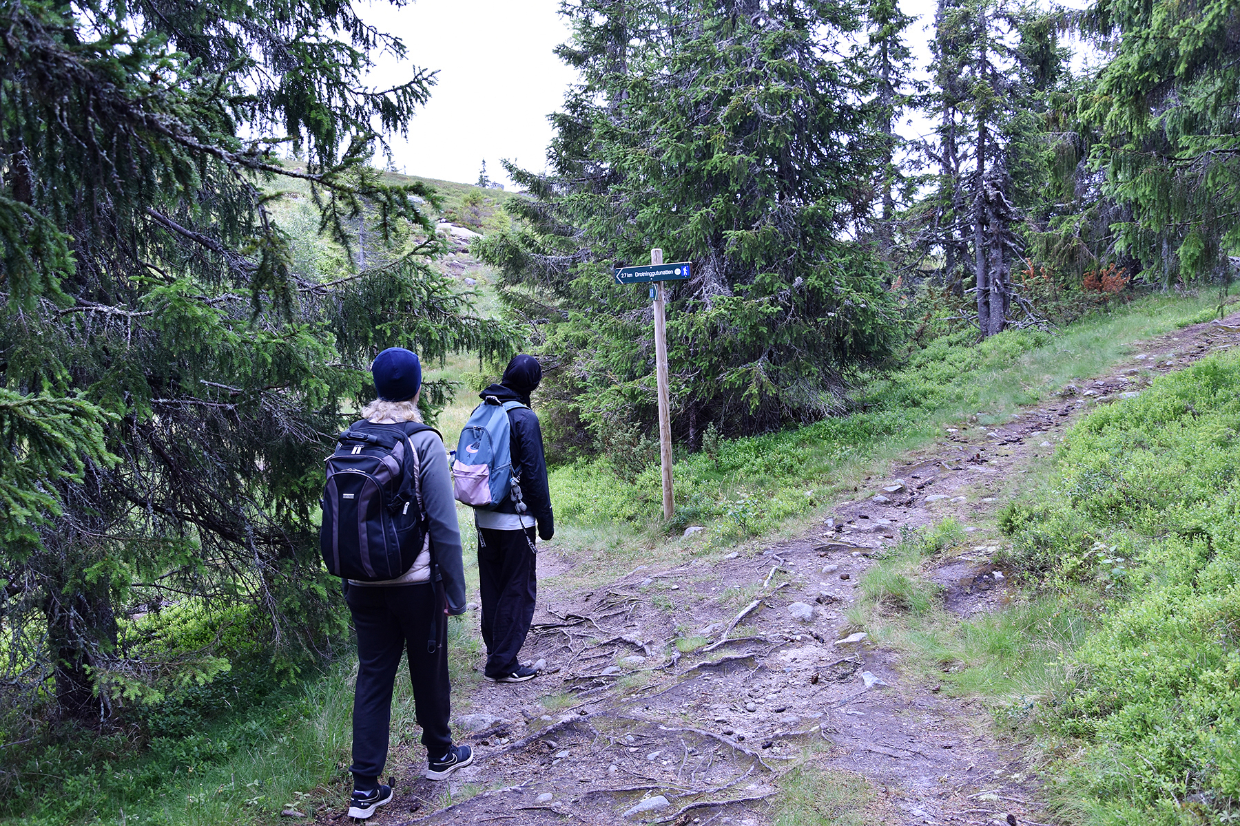
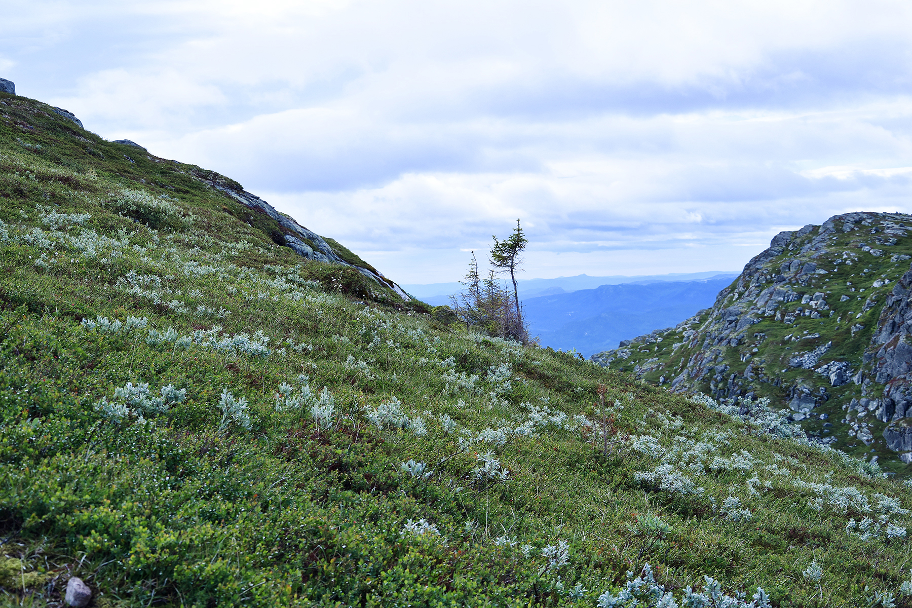
It
doesn't take long to reach above the tree limit.
Holmevassnatten and Drotninggutunatten are to
the left. |
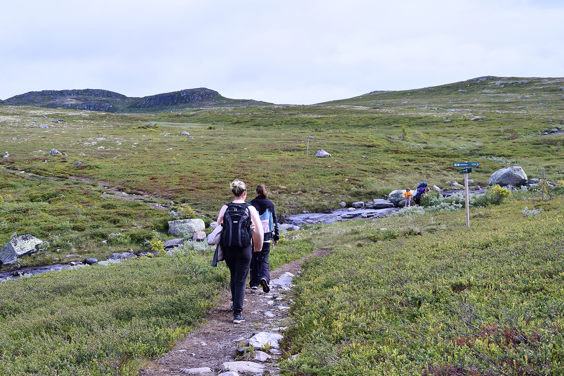
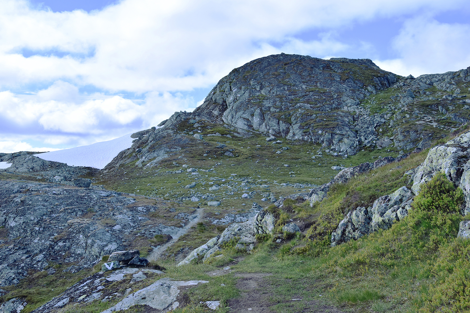
There are two paths to the summit of
Drotninggutunatten. We choose the shorter one, a little steeper but
more fun.
|
|

|
|
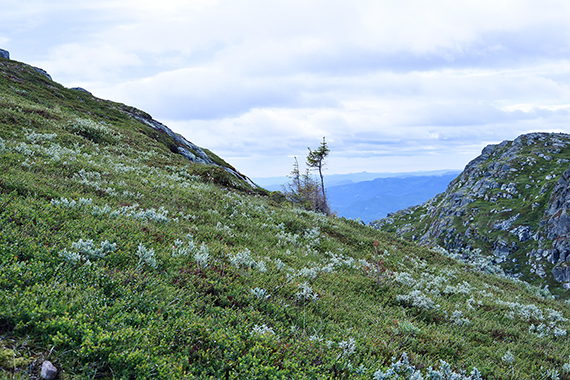
| Almost
up. |
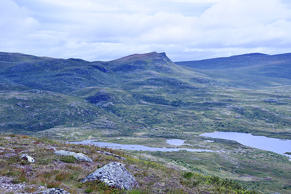
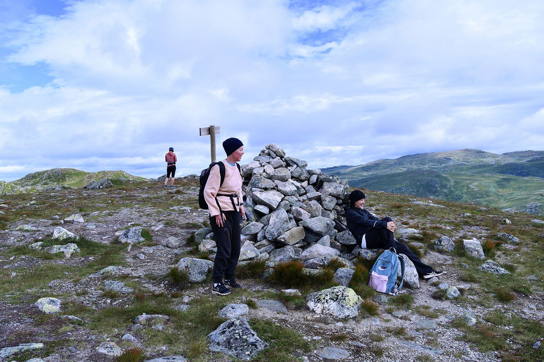
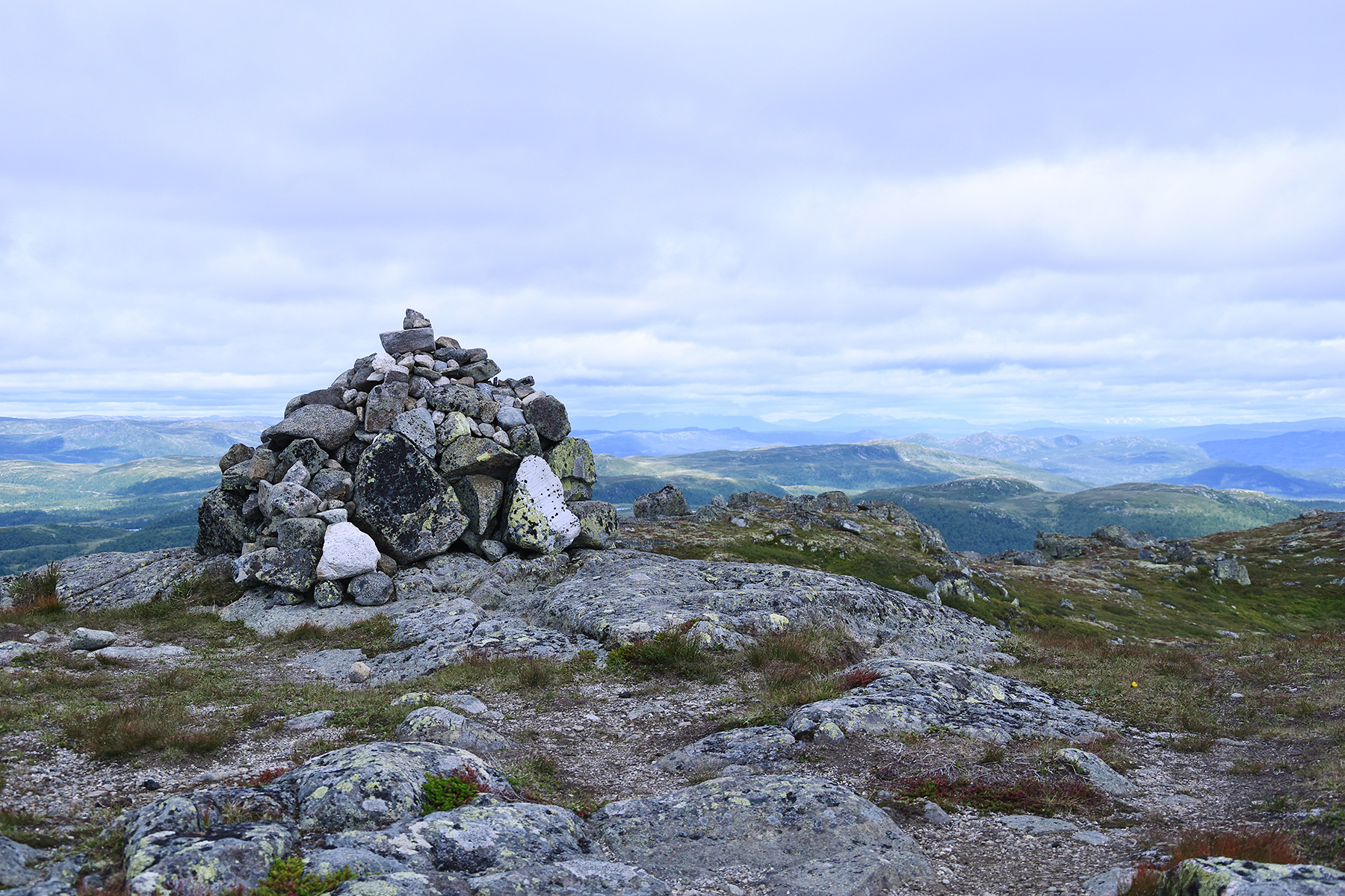
The
summit cairn of Drotninggutunatten, 1233m. Easy to
reach but in a
beautiful area. Plan B proves to be a good choice. |
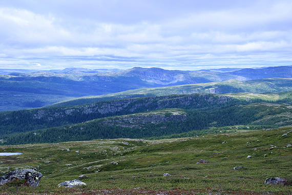
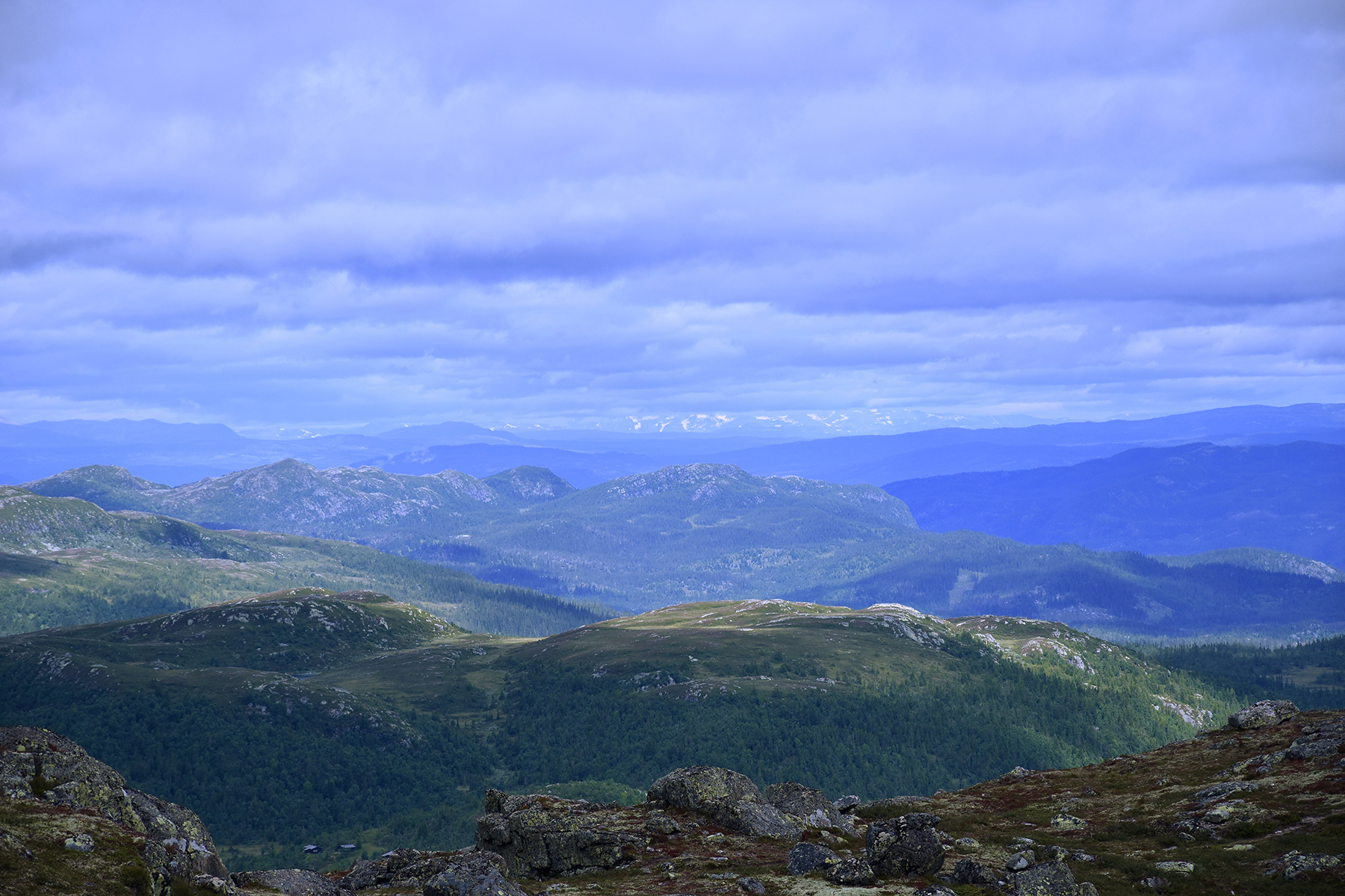
Here
are some of the highest peaks in the Norefjell area. Ranten 1419m in
the middle, with Høgevard
1460m to the right. |
 |
 |

|
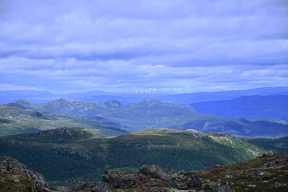
The
village Haglebu and the peak Haglebunatten in the
middle. |
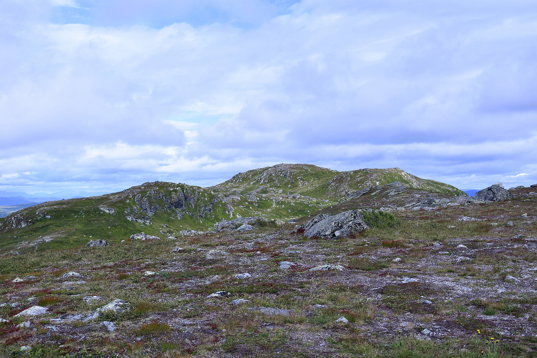
We are
moving on, a km up to Holmevassnatten, a few meters higher. |
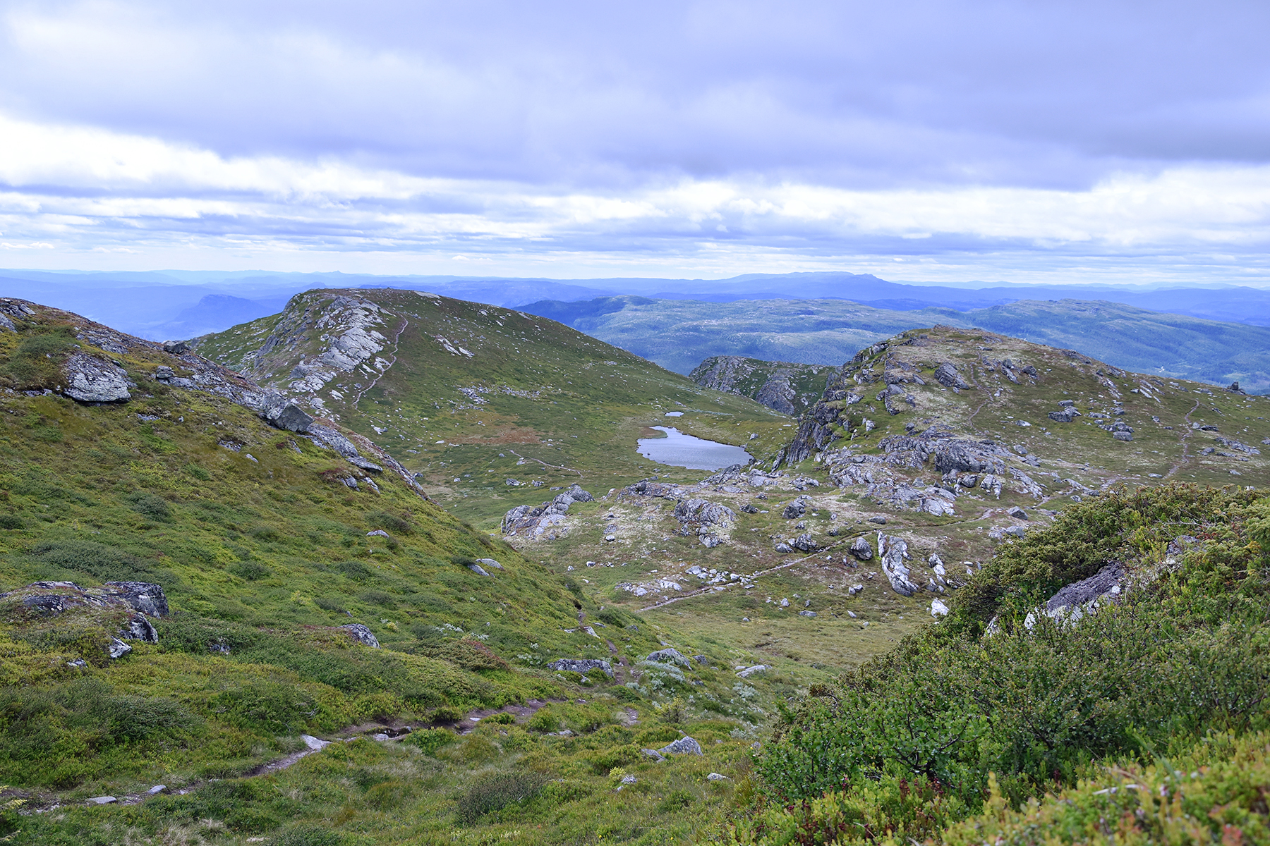
Here's
a look back to Drotninggutunatten, a little to the left. |

|

|
|
The
summit of Holmevassnatten reaches 1258m. This
small difference... |
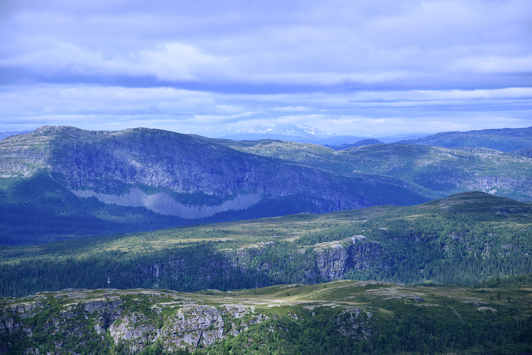
Makes
us see Hallingskarvet far in the northwest, behind Haglebunatten. |
And I
suspect it's Jotunheimen, visible far in the north.
|


