|

|
|
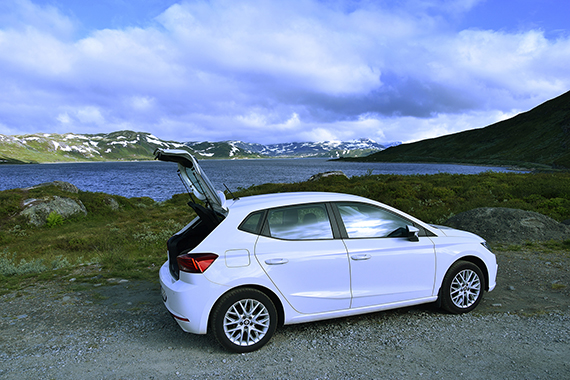
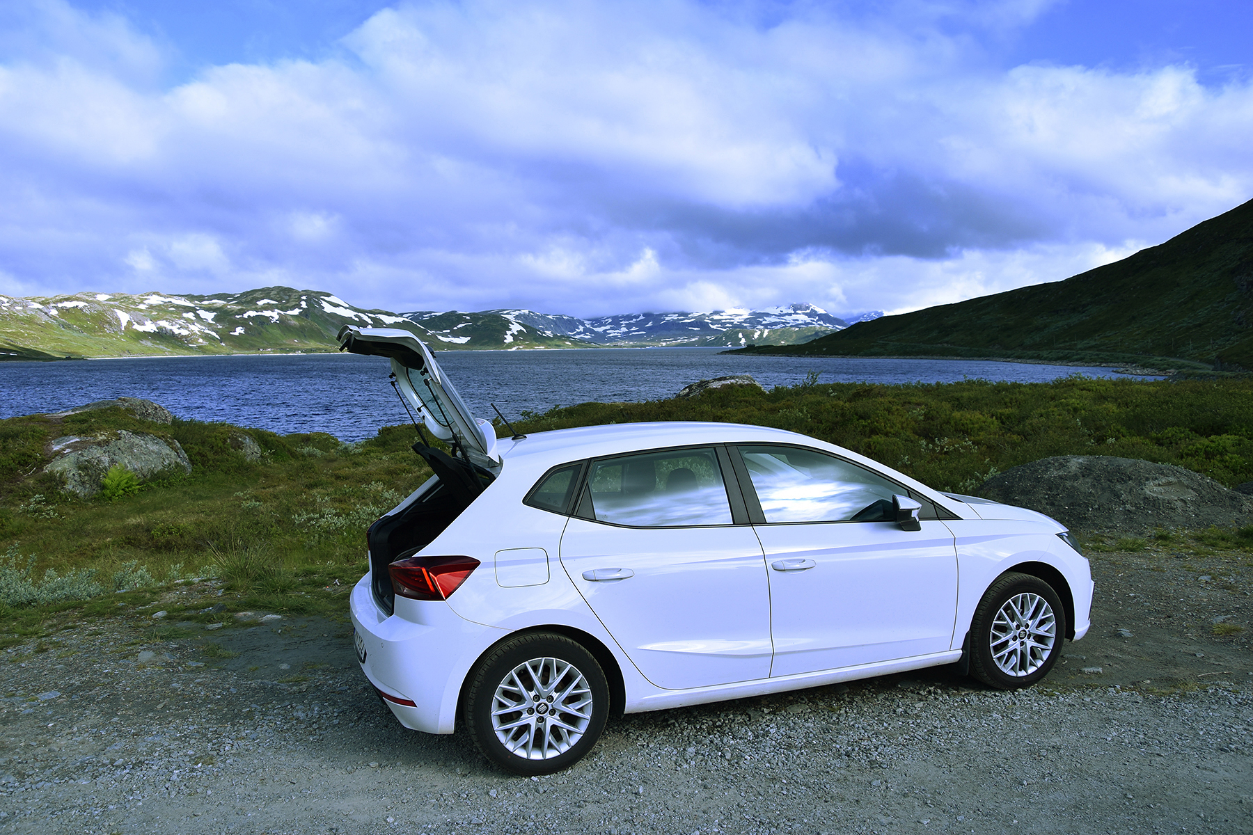
Today
we go to lake Tyin at about 1100m, our starting
point. |
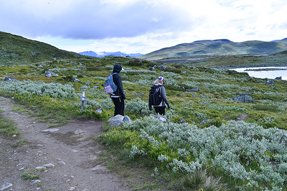
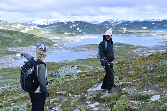
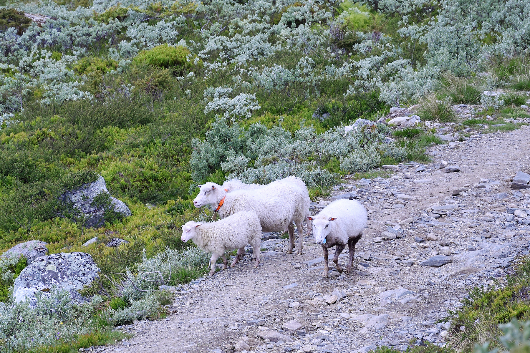
The
initial climb is easy. Besides, we get pleasant company. |
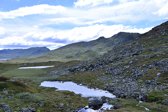
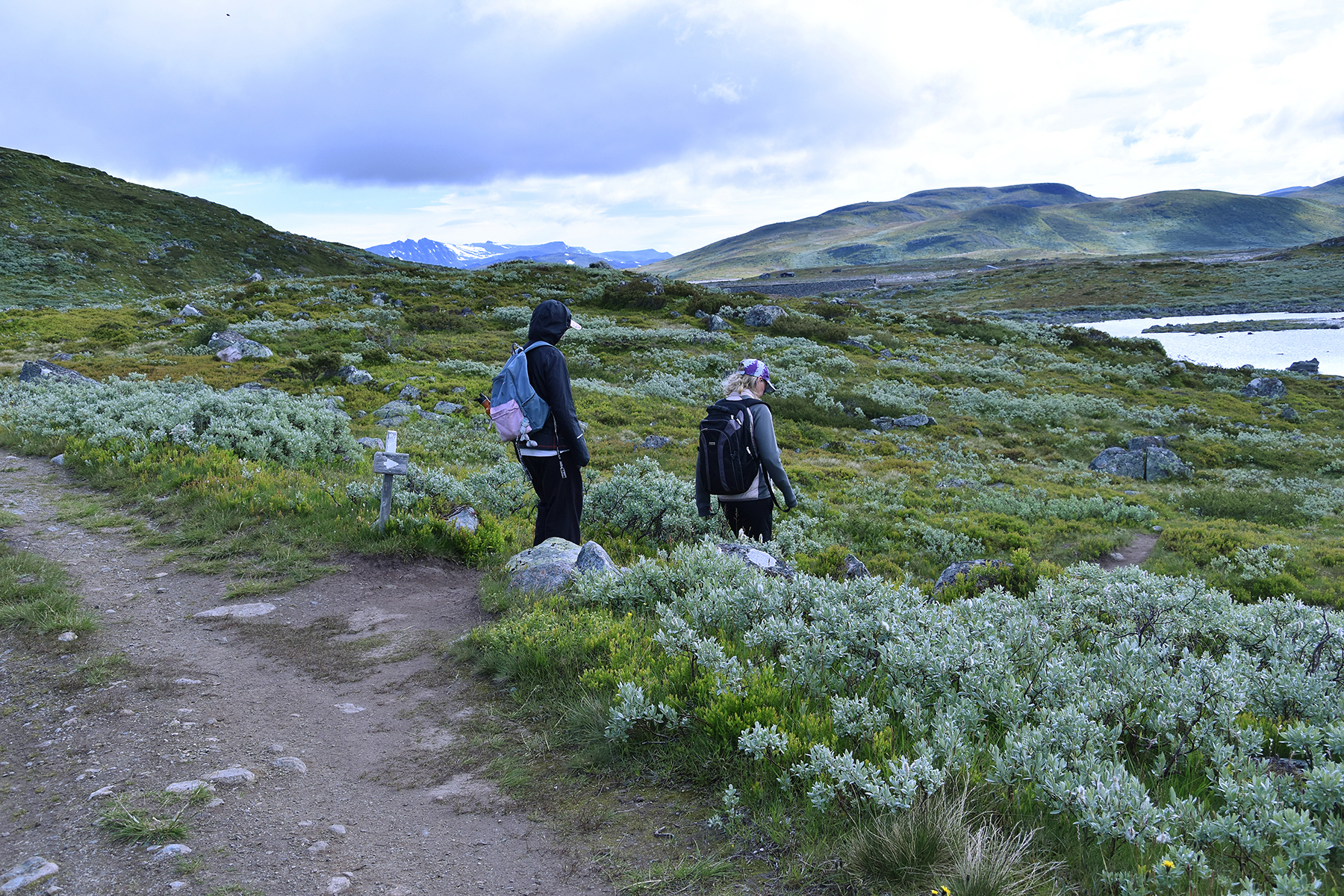
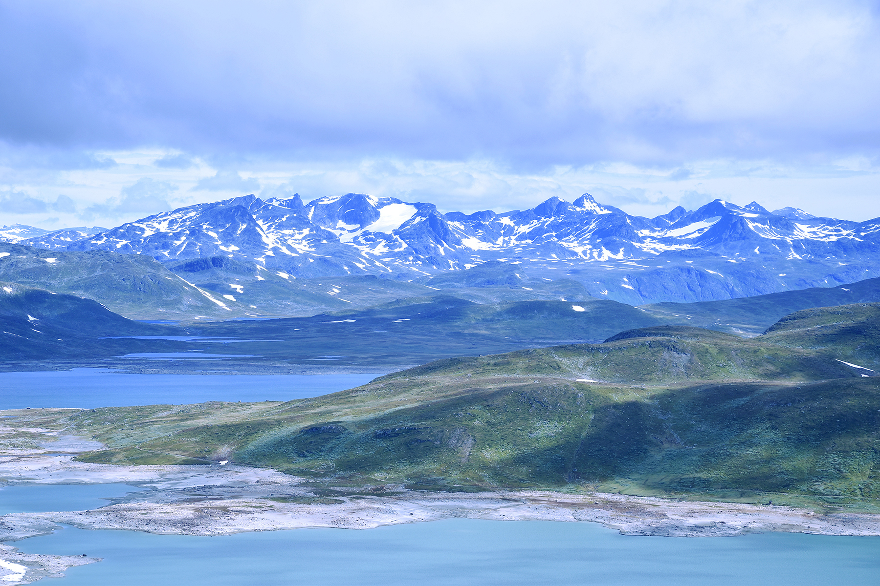
The path levels out at around 1200m. From
here Horntind is visible, somewhat to the right in this picture.
|
|
|
|
| 1km
further ahead you go to the right. The path is clearly
visible here as
well. |
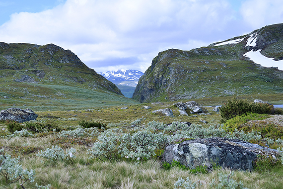
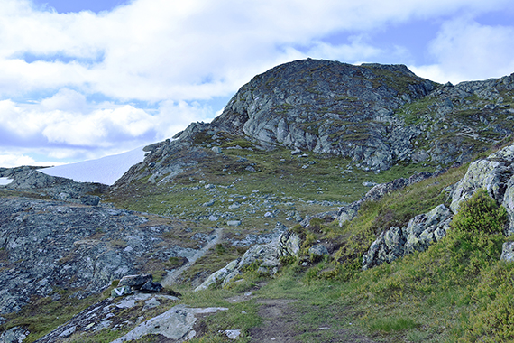
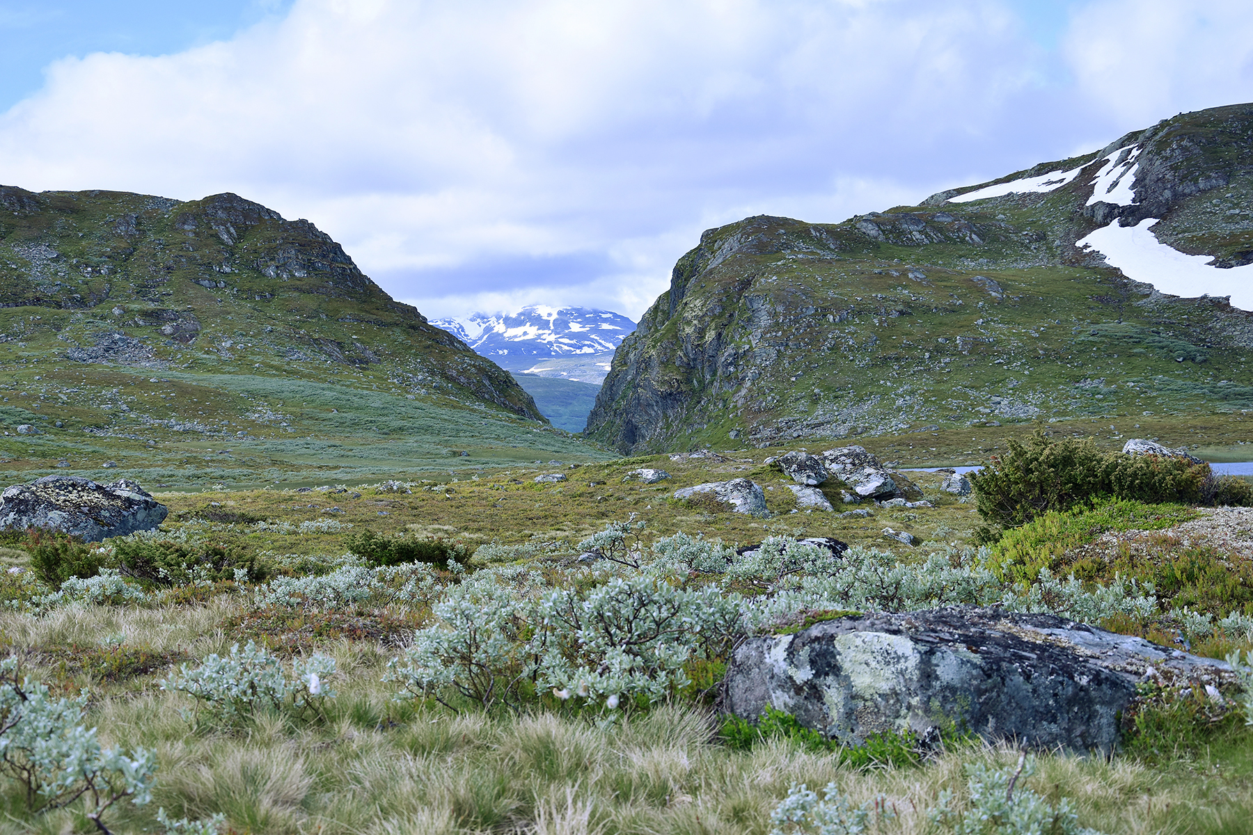
This
steep gorge splits Horntind to the left, from Kvannegrøberget
to the right. |
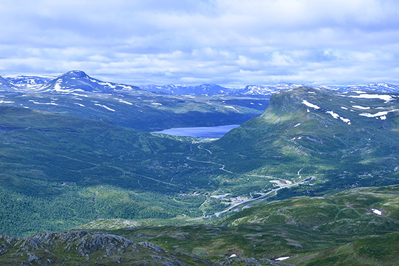
Another
km ahead the real climb towards the summit begins. The
lake Øyangen can be seen below. |
 |
 |
|
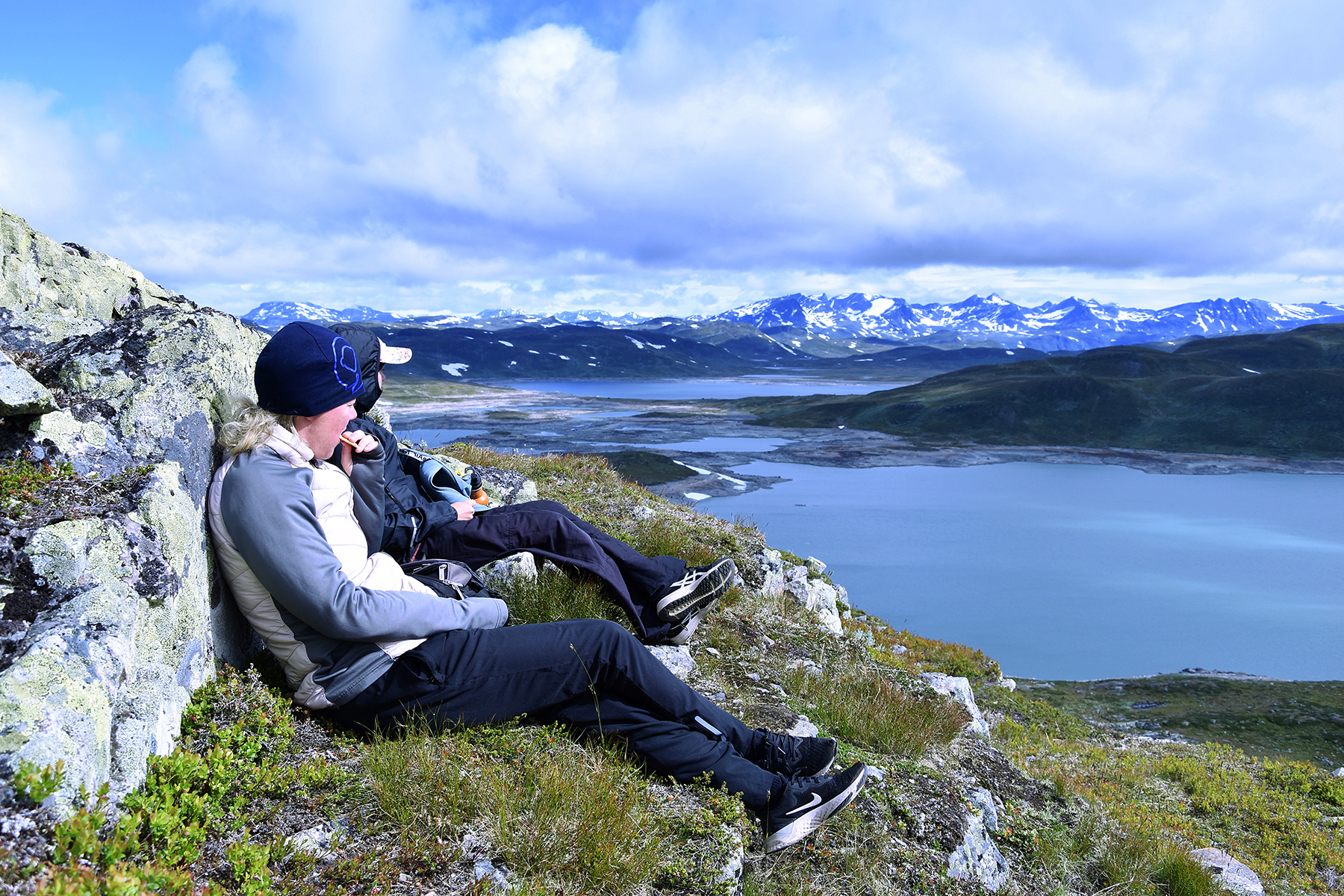
A short
brake in lee from the wind. No more than 75
altitude meters to the
summit now. |
The
final climb is a bit steeper, but still without any real
difficulties. |
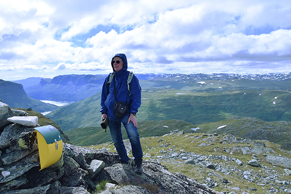
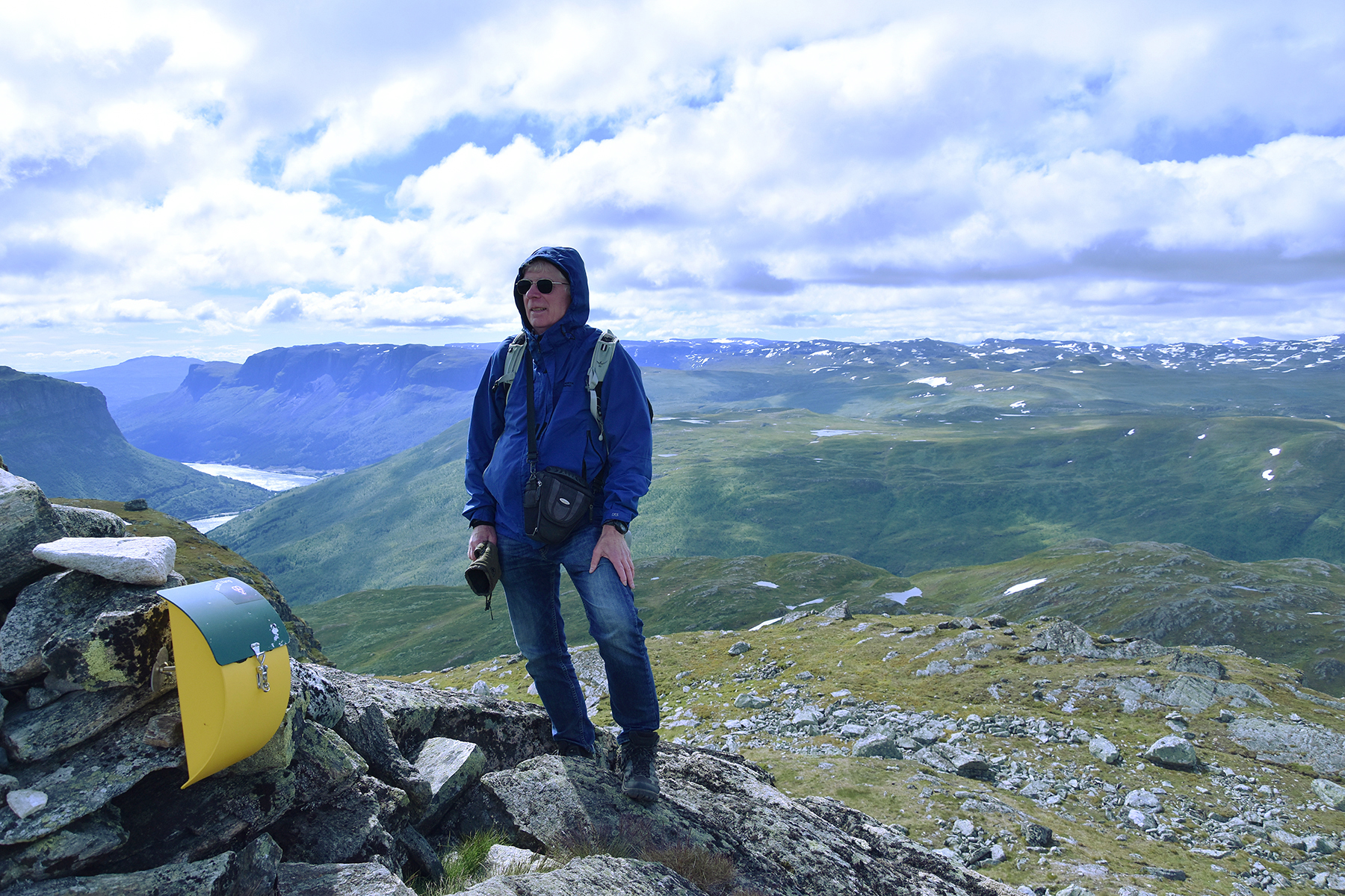
At the
summit cairn with the valley towards Vang in the southeast. It's a
really impressive view from here! |
|
|

|
|
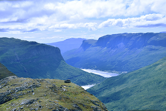
Zoomning
in the valley. |
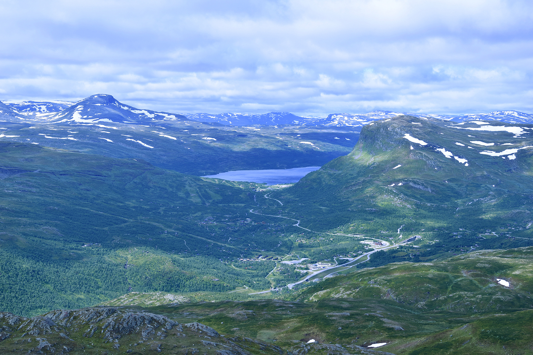
Here's
to the southwest. Tyinkrysset can be seen below. |
And to
the northeast, parts of Jotunheimen.
|


