|
|
|
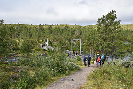
The
starting point
is Sjöstugan, at 780m, by Grövelsjön.
Had to wait in my car for a rain shower to pass, until I
could start walking at 9:30. It's a
short walk to this nice
bridge. |
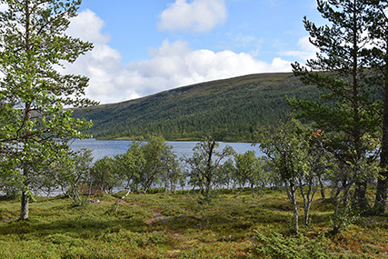
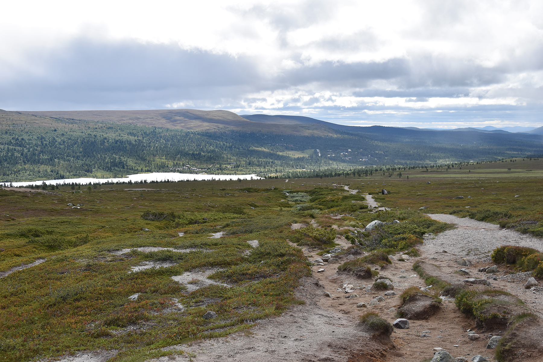
The
fact that I'm returning to Grövelsjön is due to its accessability for
me, coming from the south. But also
because this is a beautiful area
with easily climbed
mountains. |
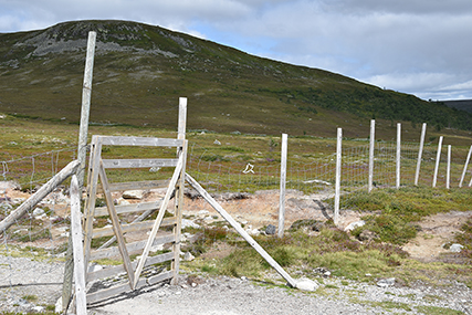
Reindeer fence at almost 900m, with Sjøhøgda behind. The border to Norway is just
a few hundred meters further. The border is closed for now, it's not
allowed to cross. But luckily, I found some older pictures from 2019,
when I was here too.
|

|

|
|
So
I compiled the different pictures. By a coincidence, the
older pictures
had exactly the same kind of weather, so it
looks as if a made the
whole trip on the same day. Well,
how about that... |
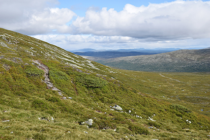
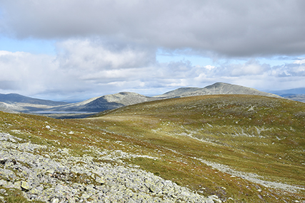
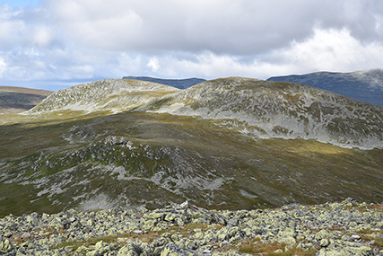
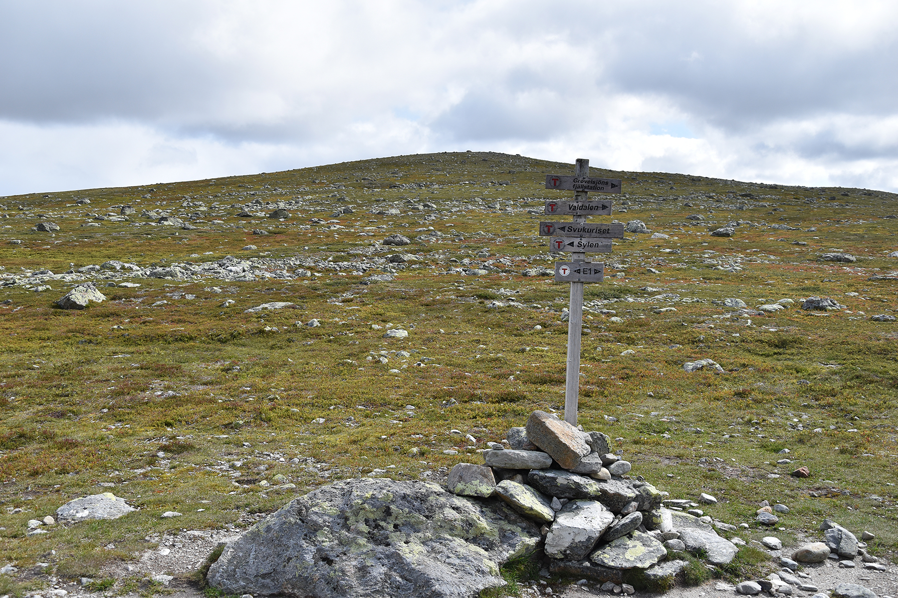
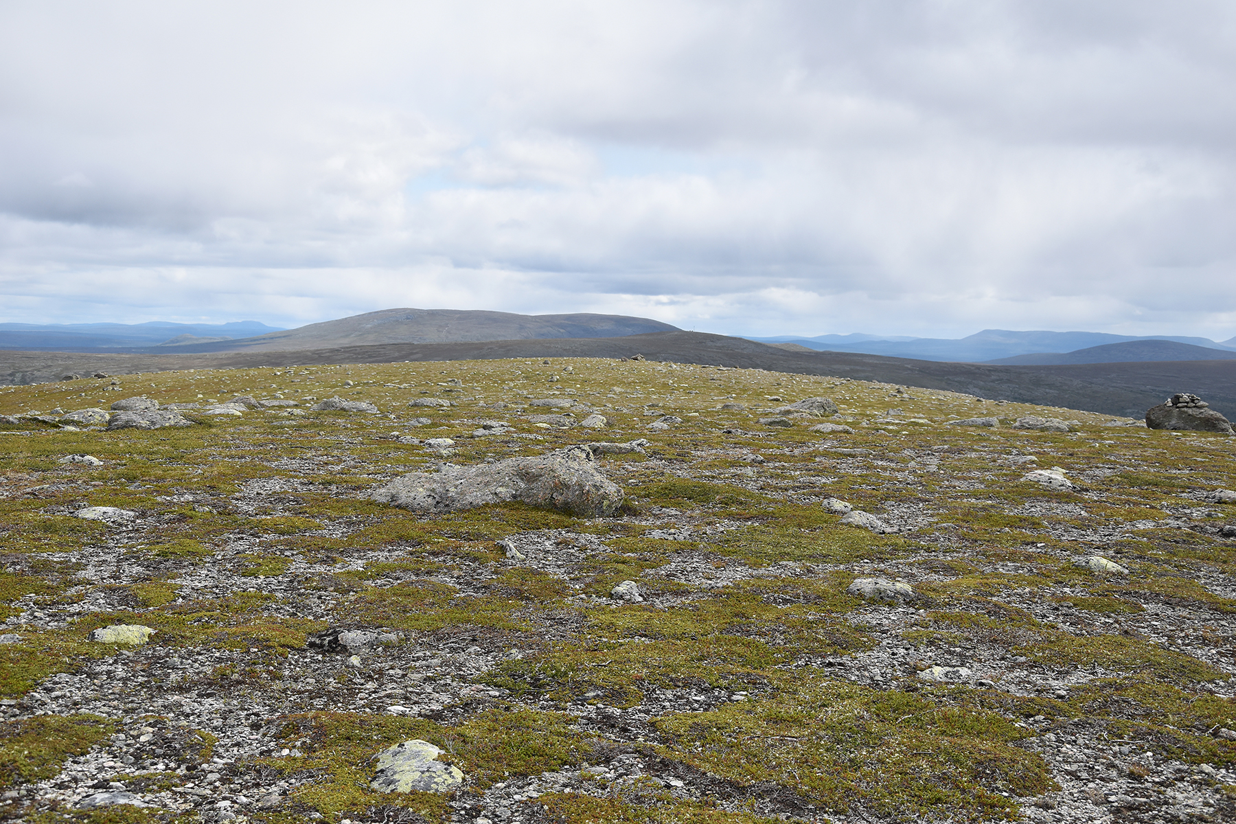
It's
easiest to follow the main path until you reach a
saddlepoint
(about 1060m), the highest point between
Sylen (Norway) and Grövelsjöns
fjällstation (Sweden).
Here is the slope to the east, towards Sjøhøgda. |
But I
climb to the west, on Salsfjellet.
|
|
|
|
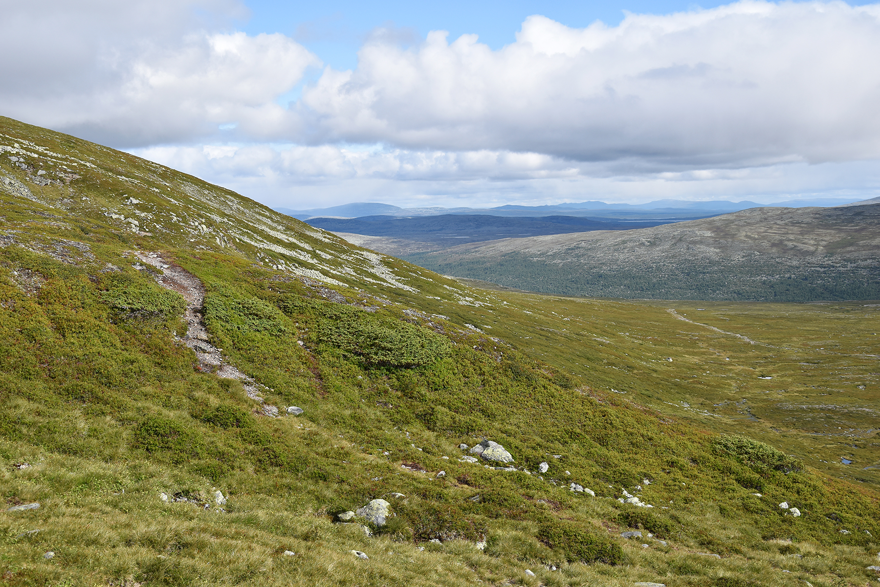
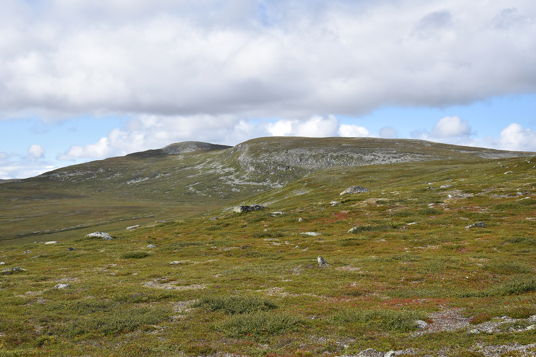
Almost up, just
some
200 altitude meters from the
saddlepoint. This is a view to the north. |
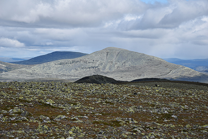
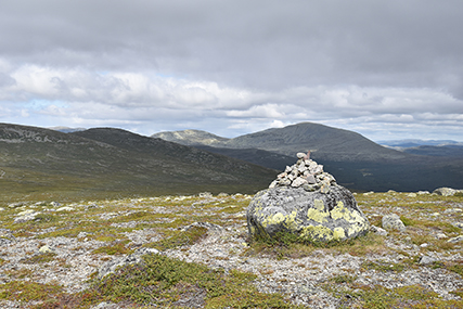
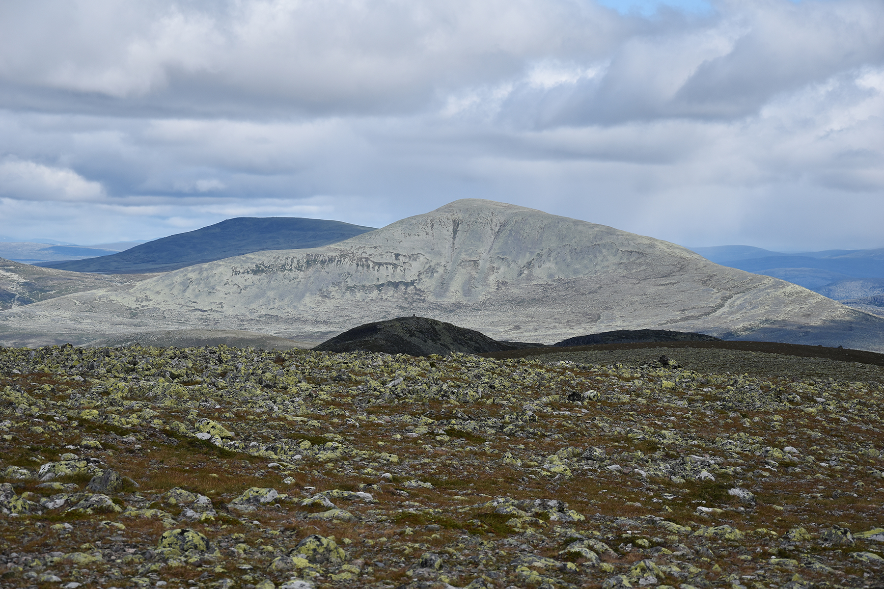
At
the lower summit 1278m. In the north is Grøthogna
1402m. |
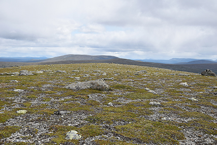
From
the lower summit it's about 500m to the high point, 1281m.
|
 |

|

|
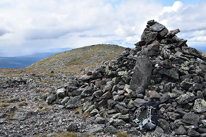
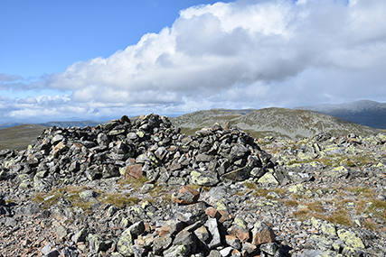
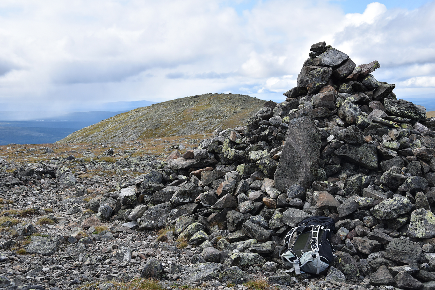
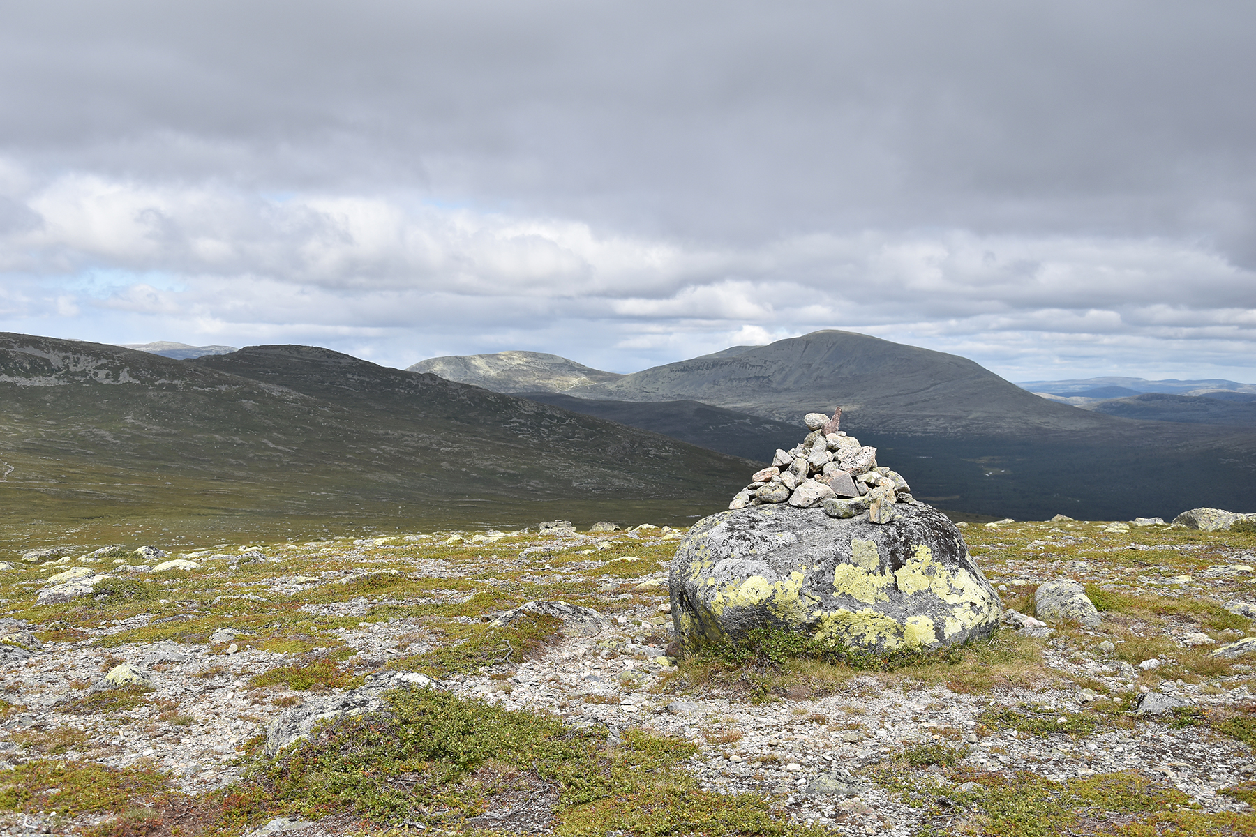
At the
main summit 1281m. A good place for a wind shield,
to sit and have some
snacks in the fairly hard wind. |
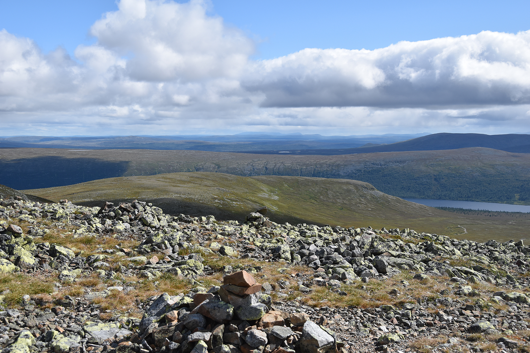
Here's
a look to the east. Sjøhøgda
is closest, behind it Grövelsjön. Far in the distance I
believe we can see Sånfjället in Härjedalen,
Sweden. |
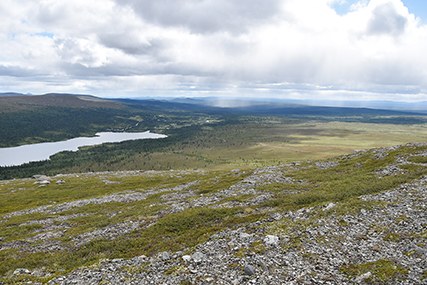
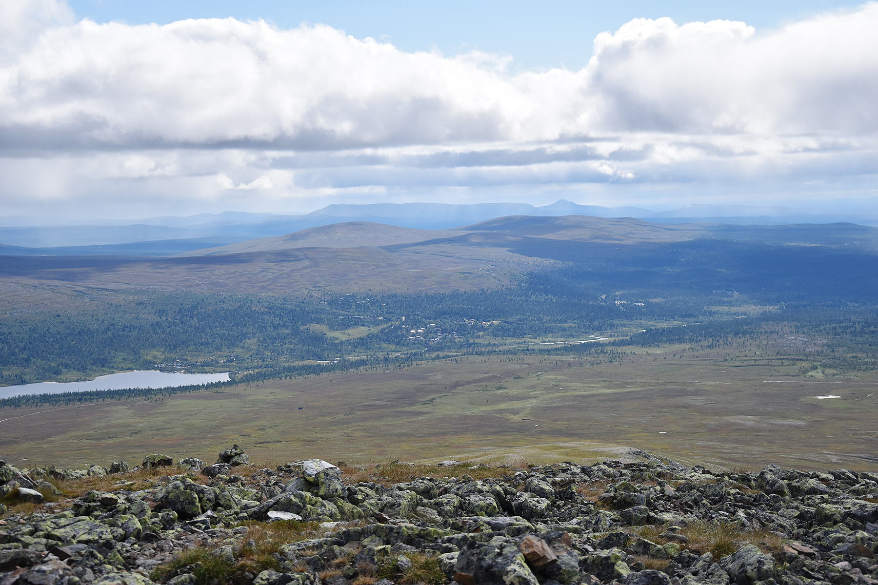
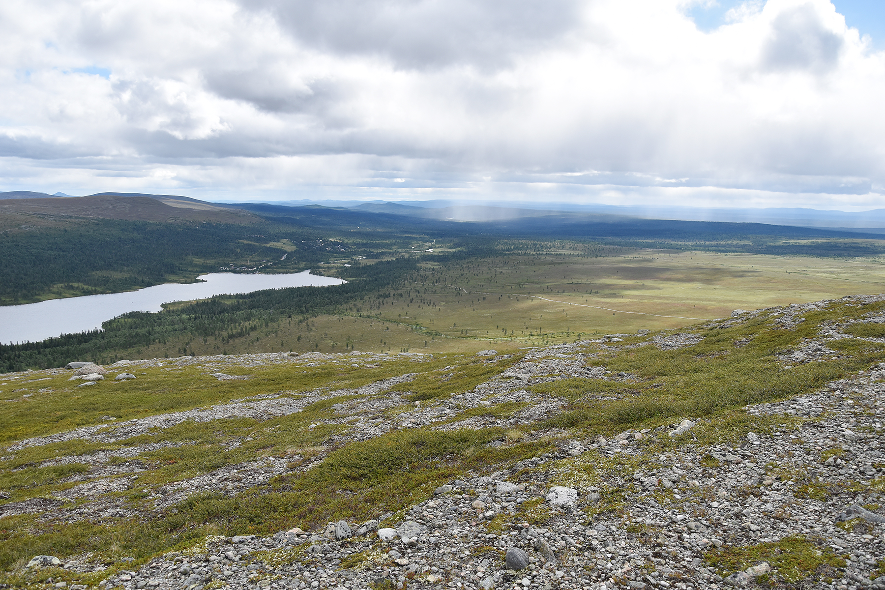
And
here is Grövelsjöns fjällstation. At the horizon is Nipfjället in the
middle. To the right of Nipflället is the sharp peak of Städjan.
|
|
|
 |
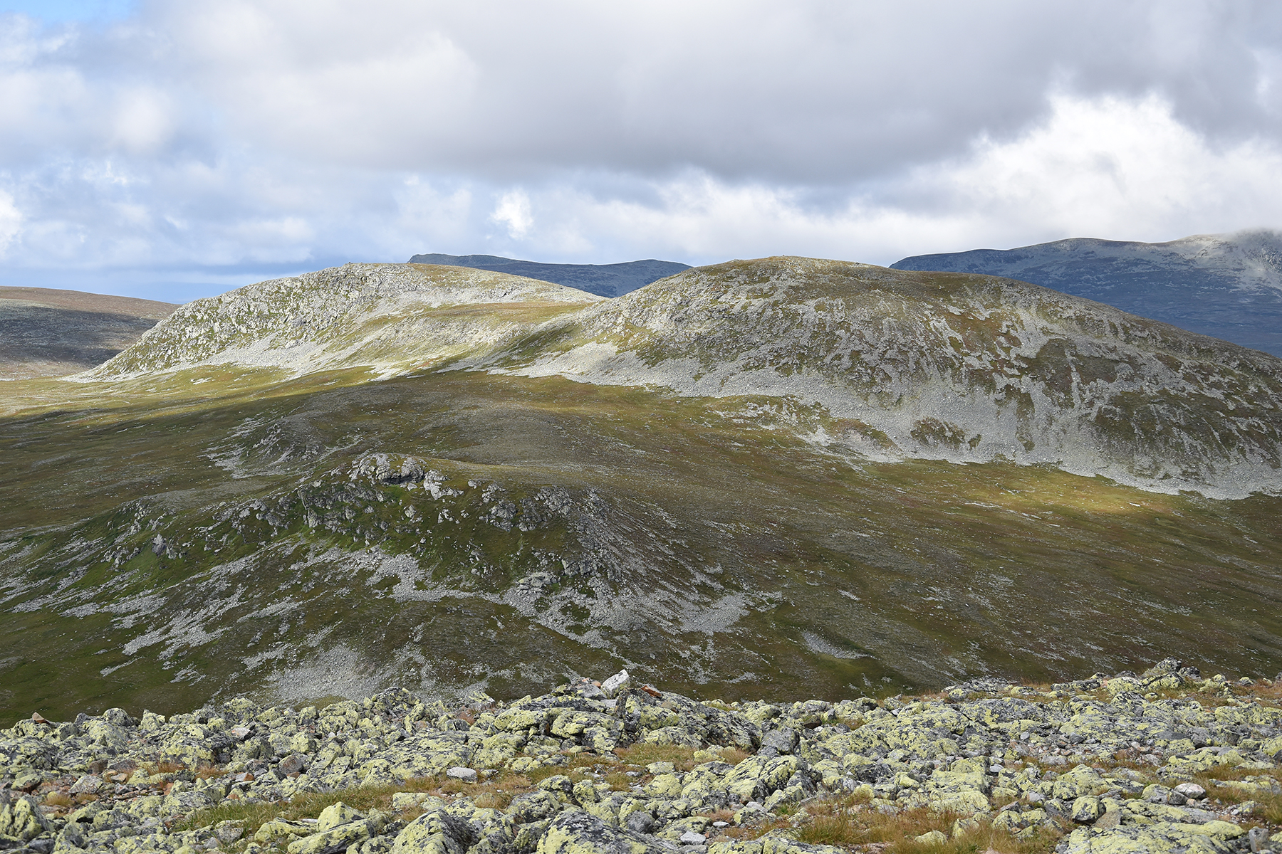
To the
west, further into Norway, Goebletjahke 1288m and
Digerhogna
1294m. |
After
descending to the saddlepoint again, I climb 60
altitude meters to the
summit of Sjøhøgda,
1121m. I
don't stay here for long ... |
...but
continue along the ridge eastwards ... |
|
|
 |
| ...until
I reach the Swedish side again. |
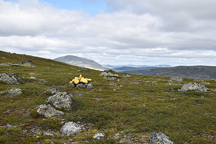
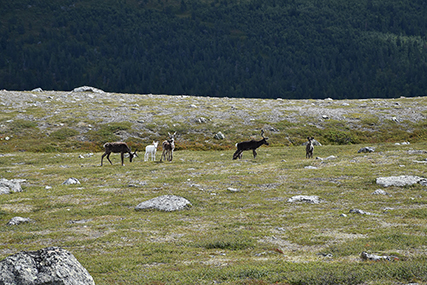
Some
reindeers, a short bit into the Swedish side. |
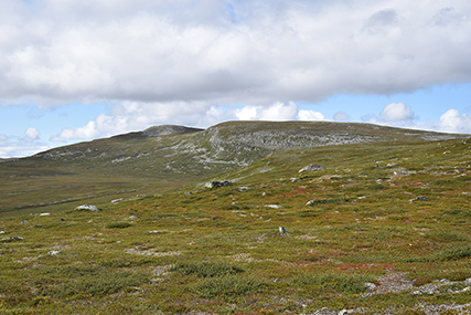
And
Salsfjället, seen from the same spot. |
|
|
|
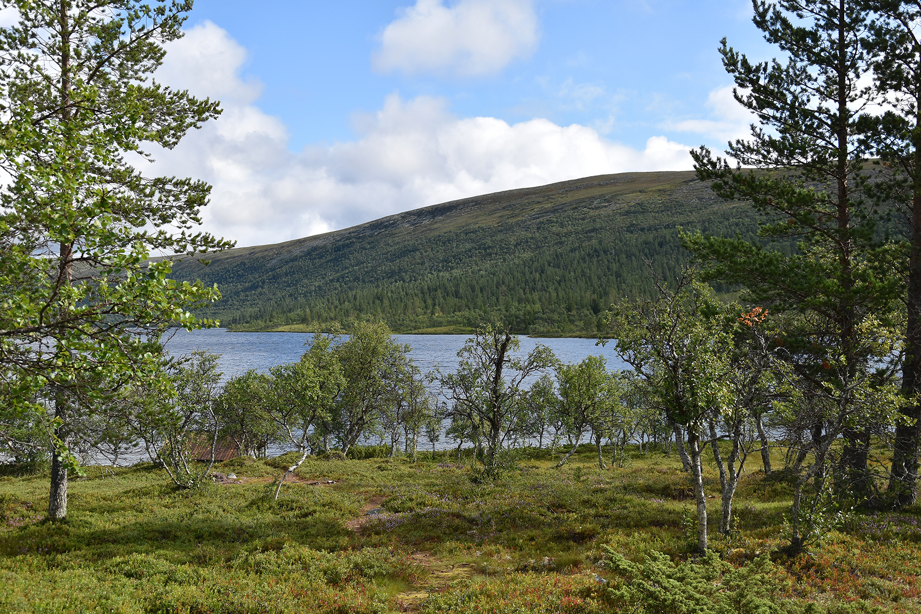
From
here it's a fairly smooth, but steeper, off track descent
to the main
path, leading back to Sjöstugan. |
|
|


