
|

|
|
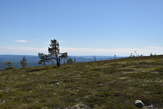
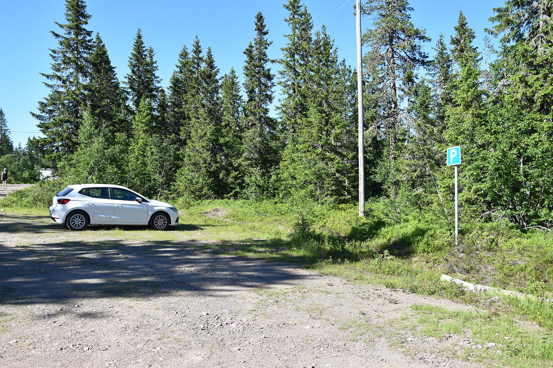
This is
the most
southerly "fjäll" in Sweden! At least if you define it as a
top above the
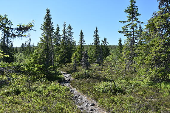
treeline.The biggest difficulty
with this one would be to find the
trail, which isn't very
difficult either. Walk a little more than 100m
north, from
the parking place at Hemfjällstangen... |
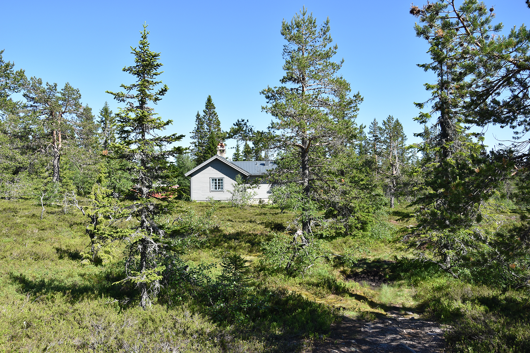
Then a
little more than 100m into a small road to the left.
After the second
(and last) house, continue on the trail. |
No special equipment is needed here. I
walked with my normal sneakers.
|
|
|
|
|
After maybe 10min, the forest opens up as
you pass the treeline. |
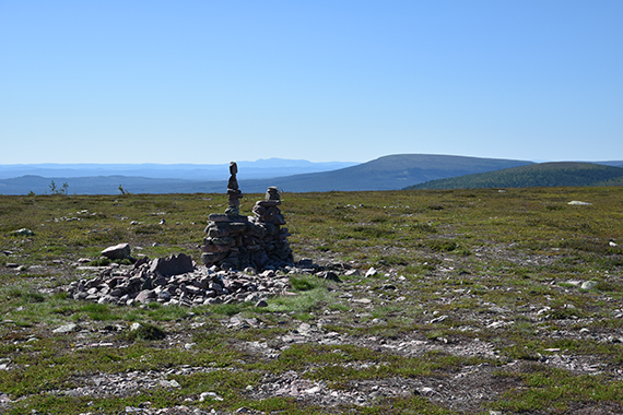
Soon
after that you reach the summit cairn, after a climb of
170 altitude
meters. Here you can see Hunddfjället a bit to
the right, with Trysil
further behind in the middle. |
To the
north is Storfjället, that I climbed on the 23/6 this year.
|
|
|
|
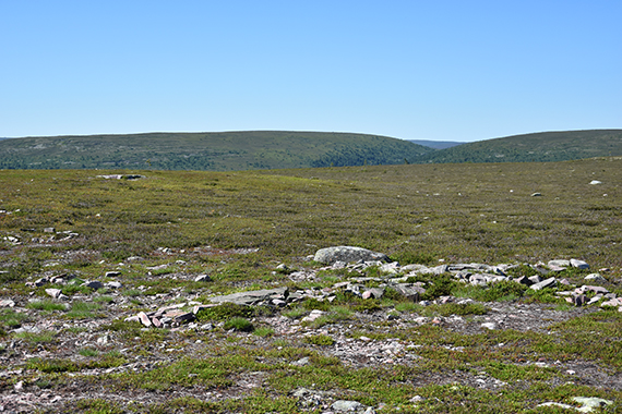
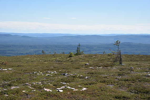
| Still,
I think the
most beautiful view is to the south. |
|
|


