|
|
|
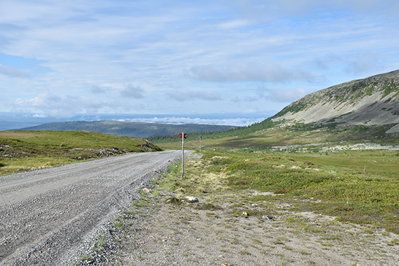
A
look at the final road, leading to the summer parking
place at
Nipjället. Some stratus clouds still remains at
lower altitudes, while
cumuli are starting to form higher up.
This will be a fine day. |
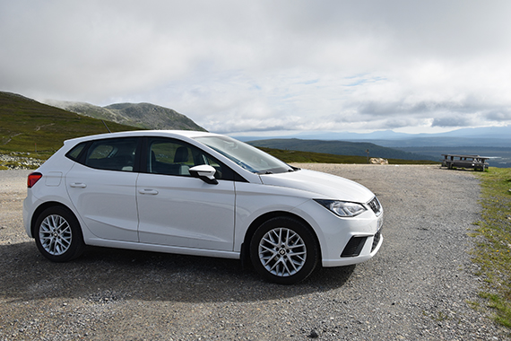
The
parking place is just above 1000m, a perfect starting
point
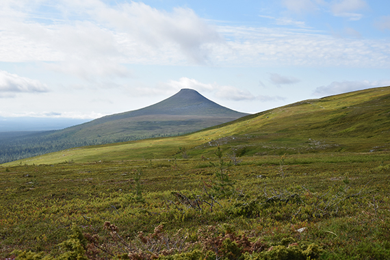
to Nipfjället, seen to the left here. There aren't many
others
up
here now, at 9:00. |
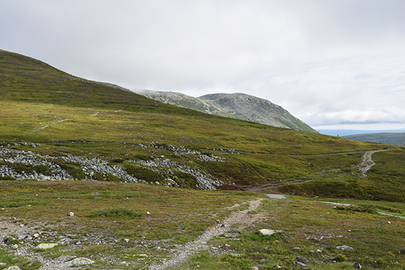
There are several trails leading
to Molnet. I choose the "main path", to the right in this
picture. Initially it descends 50 altitude meters. Then
you can go left, climbing the hills in the middle of this
picture.
|
|
|
|
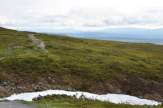
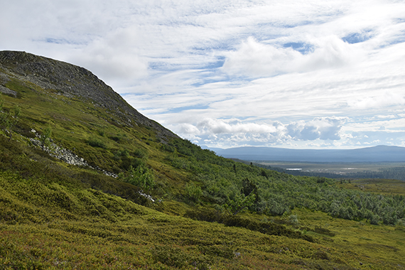
| In
the backgrund you can see mountains in
Härjedalen. Hovärken 1125m in the middle, at
Lofsdalen. |
To the
south is Städjan 1131m. It's always spectacular,
from all
angles. |
Now I
have started the climb towards the summit plateau, from 950m to 1130m.
It's simple climbing and doesn't take long.
|
|
|
|
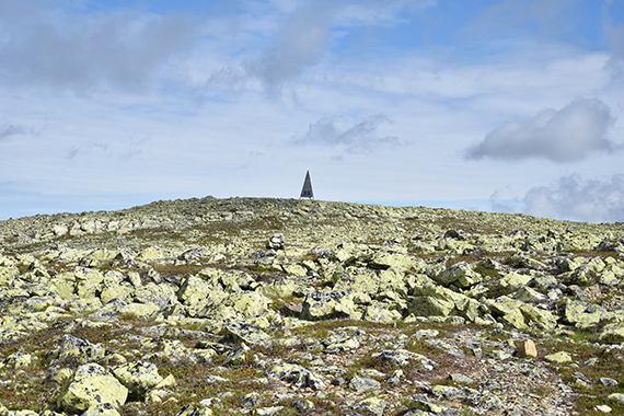
After
that you will
soon see the top marking of Molnet. I
won't translate my rambling over the changing of the
name from Molnet to Mulen, just
stating that I continue
to use the old name... |
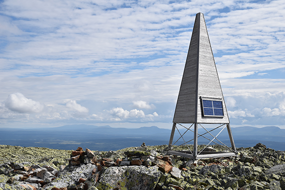
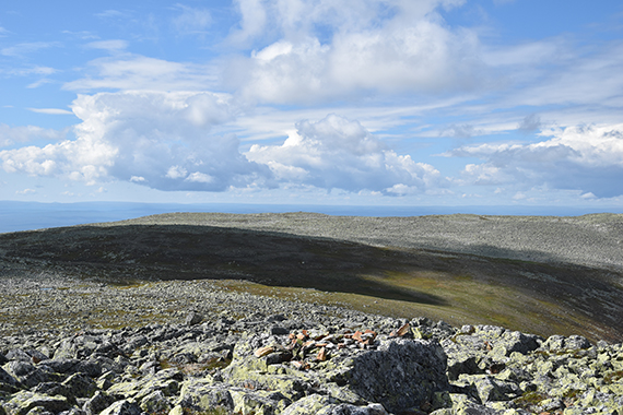
At
the summit of Molnet 1191m, the highest point of
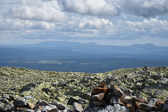
Nipfjället. In the
background is Hovärken at Lofsdalen
in the middle. To the left is
Sånfjället. |
Zooming
in Sånfjället 1278m. To the right you can see the ski slopes
at Lofsdalen.
|
|
|
|
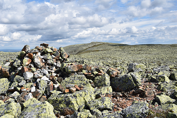
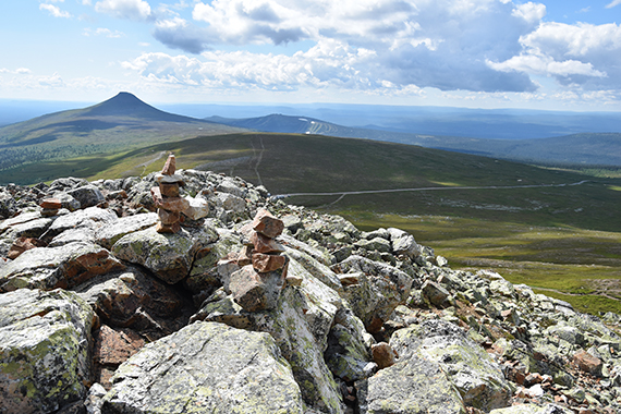
Now I
continue 1km over the plateau, to P1180m. The
cairn is visible
in the middle of this picture. |
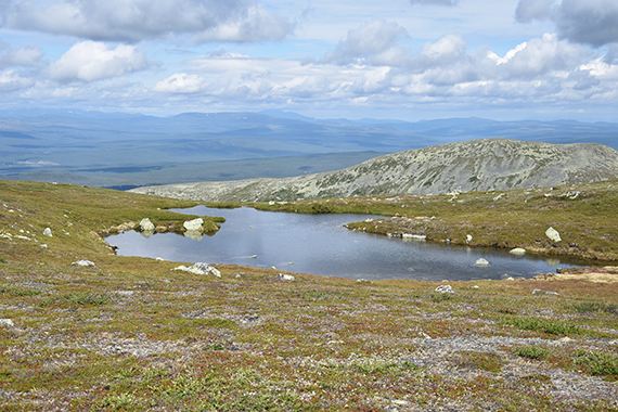
A small
lake between the summits. The picture is taken
to the
northwest. |
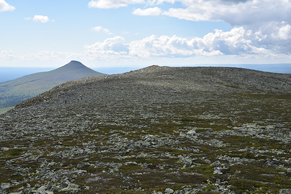
At
P1180m. Molnet is visible in the background.
|
|
|
|
From
P1180m it's a pretty simple descent to Lillnipen, a
viewpoint
at
1120m, just above the car parking. It's always
nice to plan a route so
that you don't go back the same
way. |
Arriving
at Lillnipen, with the car park about 100 altitude meters below. Some
people settle for this peak, a bit of
a pity I think. It´s simple
walking up here, with limited hights
to climb. But still it's "real"
mountains with beautiful surroundings, well worth some extra
time. |
|
