|
|
|
Another
one day trip
to Norway. If you go from Grimsås,
it's only reasonable to go to the first mountains in
the
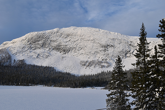
south. This is Haglebunatten
seen from the road. |
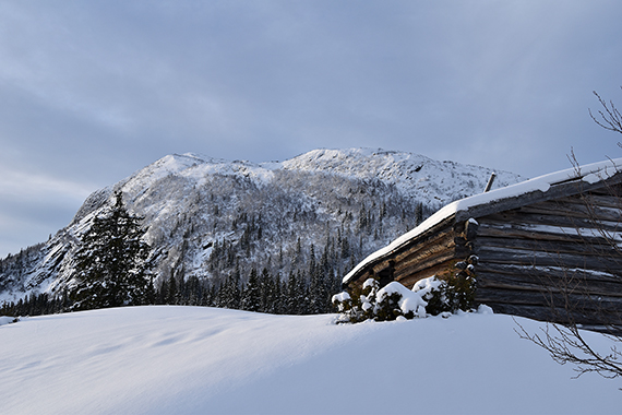
You can park the car at the
camping, then follow the trail
up to Haglebunatten. |
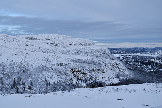
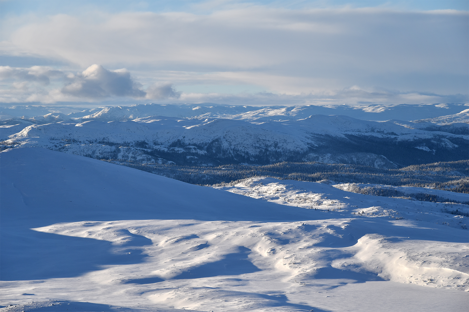
Clouds move in and put the
landscape in shadow, for a while. Bergshammaren, 1263m, rises
on the other side of the valley Fagerfetdalen.
|
|

|

|
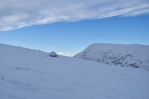
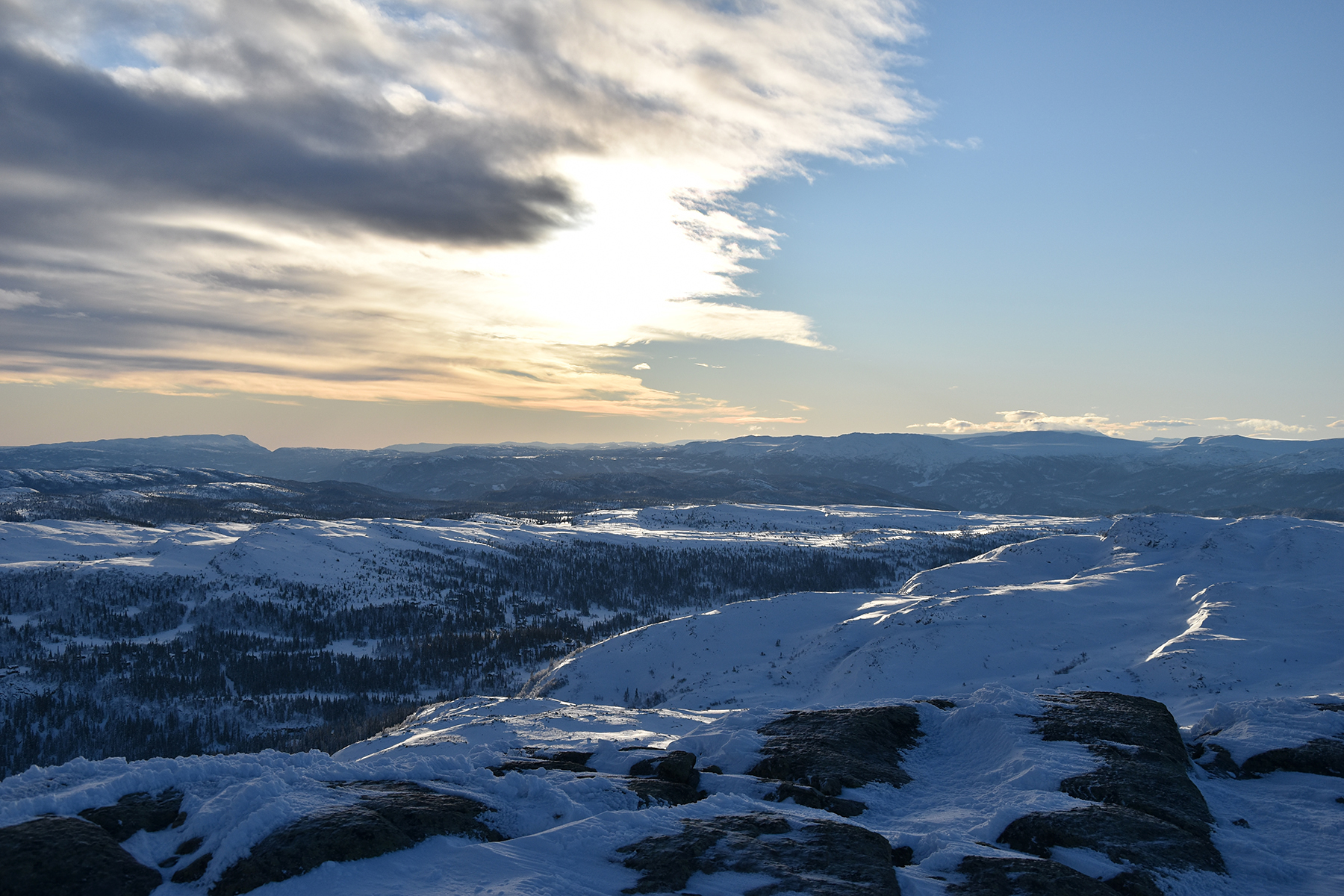
| However, better weather is moving in from
the north west. Fagerfjellet 1255m is visible behind. |
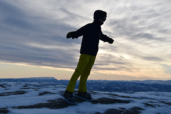
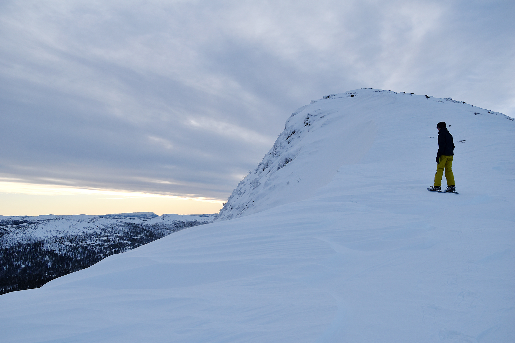
In the
picture it seems as if we are almost at the summit.
But it's about 70-80 altitude meters up there. Easy to get
fooled by a picture. |
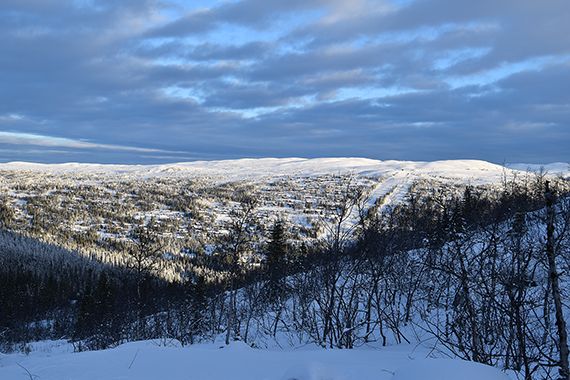
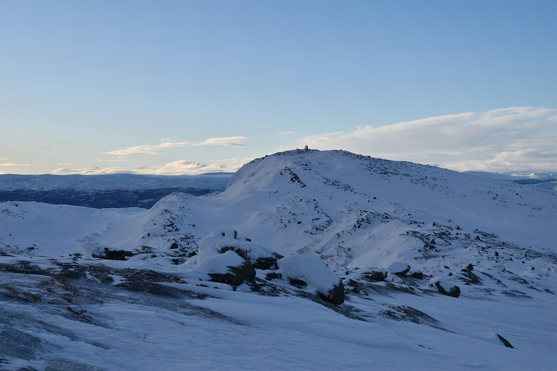
At the
lower summit of Haglebunatten, 1265m. This place provides the best
views over Haglebu.
|
|

|
|
| It's a bit windy
up here... |
Fagerfjellet
is still in shadow, but there is sun on
Hallingskarvet,
far
away at the horizon. |
We
are now continuing, about 500m
to the main summit.
|
|

|

|
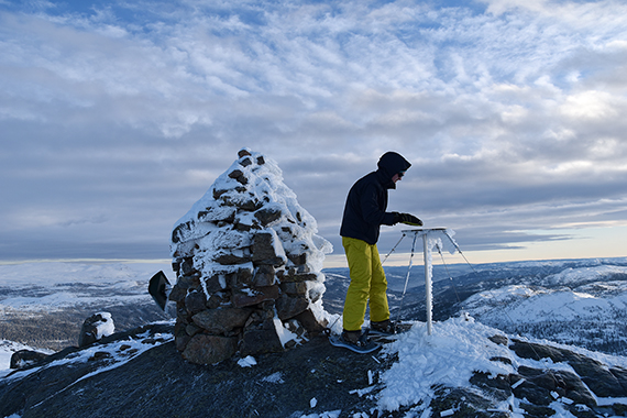
| Here
is an orientation plate. Dante tries to
identify the mountains at the horizon. |
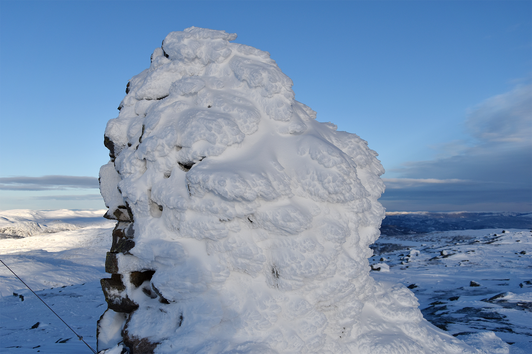
A
beautiful snow sculpture on the large
summit cairn. |
Now
there is sunshine on Fagerfjellet in the foreground, while
Hallingskarvet fades away in shadows and clouds. It's magical
up here.
|
|
 |

|
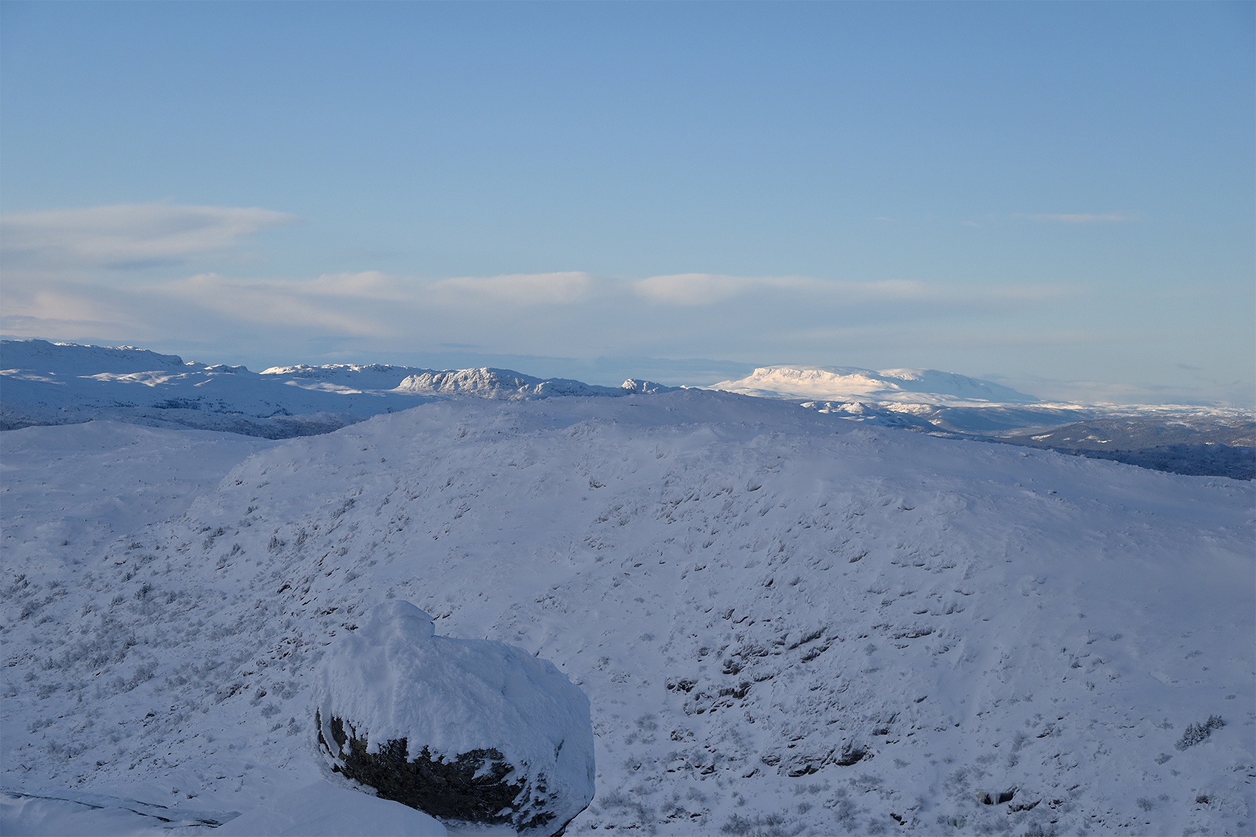
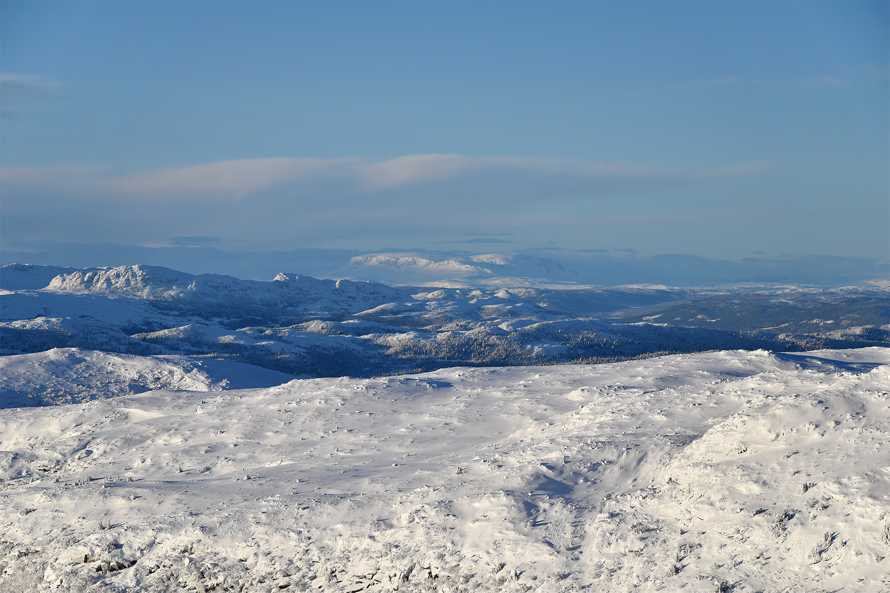
Norefjell
to the south east. You can also see the valley
leading to
Eggedal and further to Sigdal. |
I have
been up here once before. Then it was summer but lousy weather.
Today it's totally different, so beautiful. But windy and
cold... |
Gausta
peak in the south west. It's in clouds to the right in this picture.
|
|
|
|
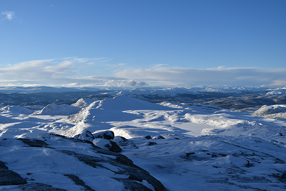
A
winter sun, with snow and frost, combined with very
clear air, produces
deep colors and contrast in all
directions. Here's a look to the
west
|
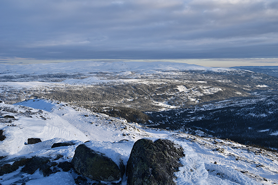
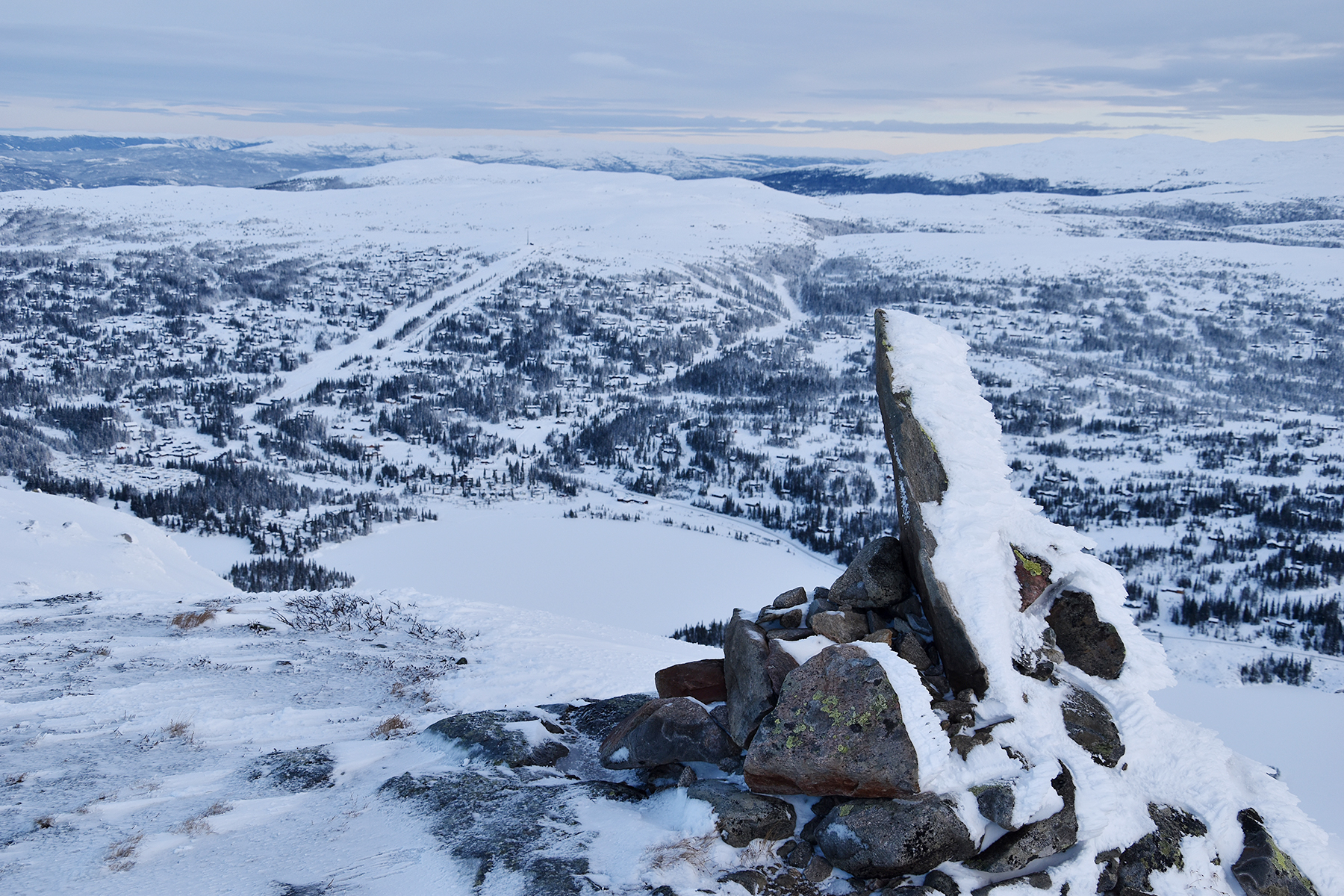
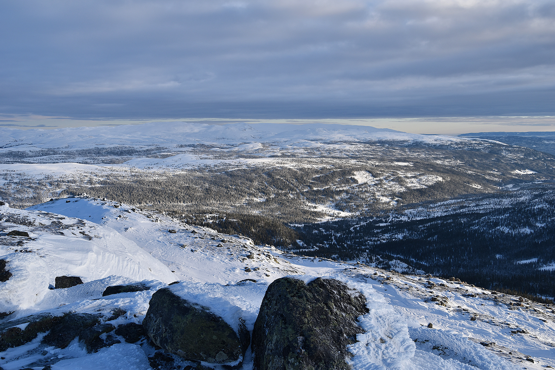
Almost
down again. The ski slopes in Haglebu can be seen
on the other side of the valley. |
|


