
|
|
|
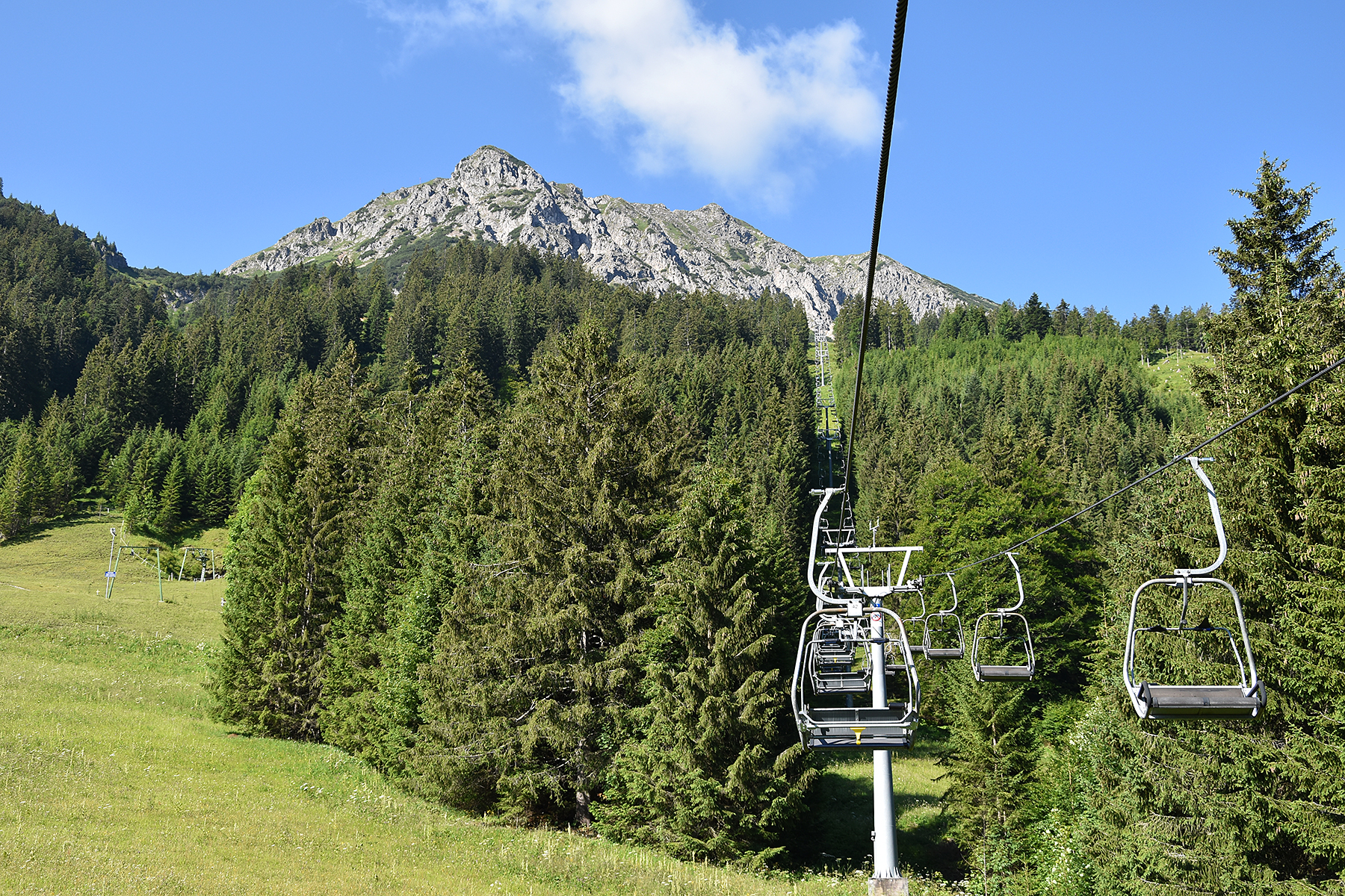
Today
we choose to trek "at
home", meaning we use the cableway fromNessewängle, (where we
rent a flat) to
1500m, below Krinnenspitze. |
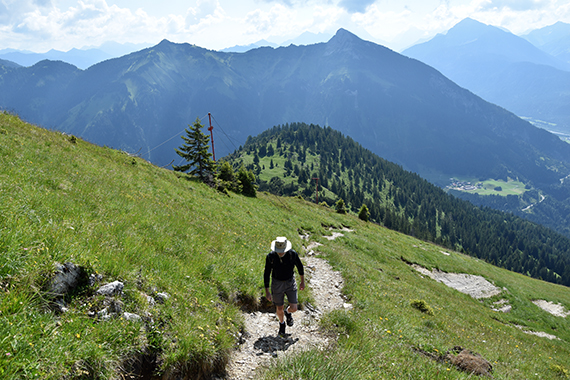
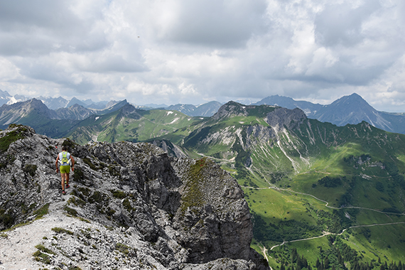
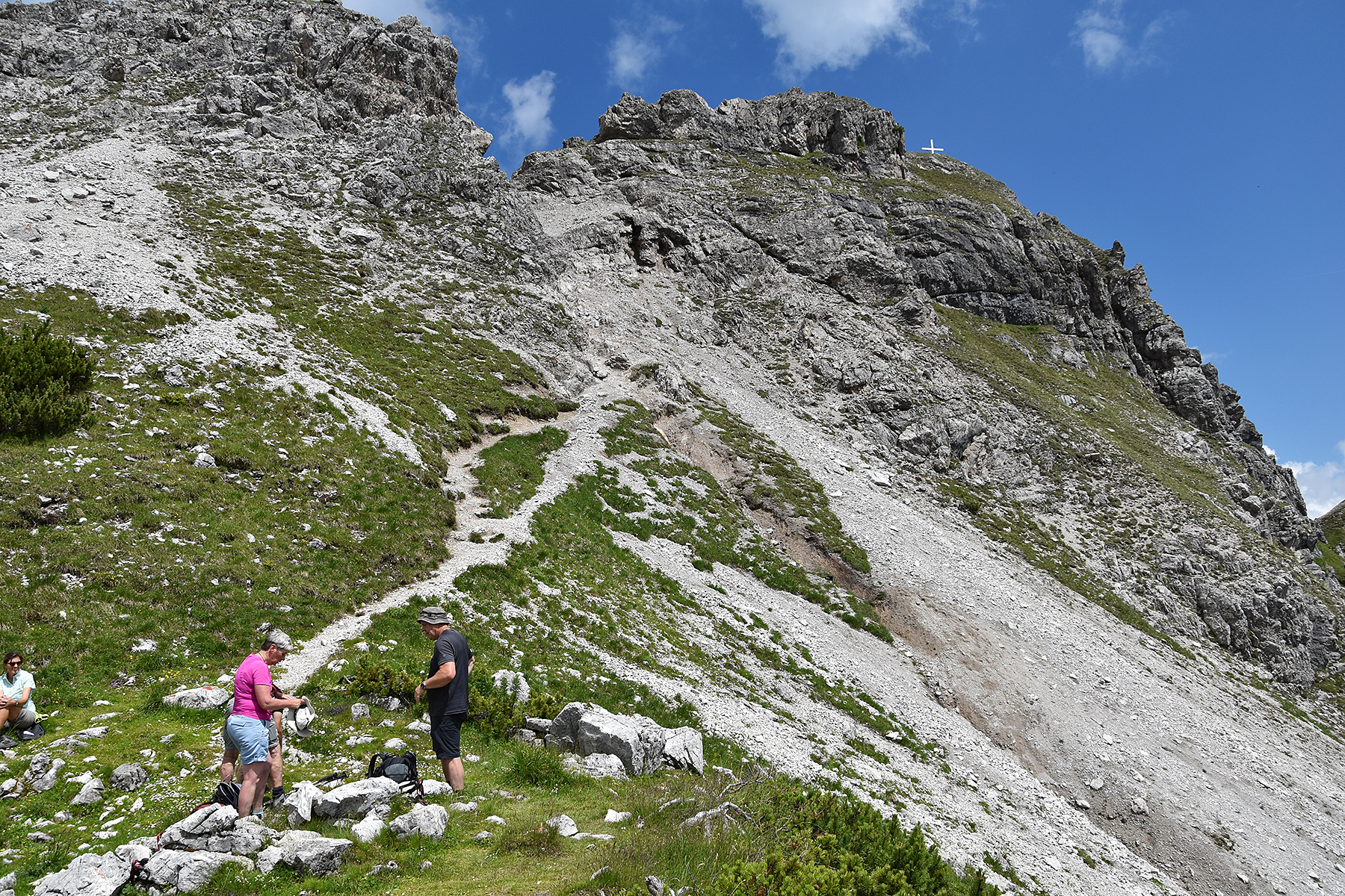
There
are several routes to the summit. We use the so
called Gamsbocksteig, the steepest path. |
We gain altitude fast, even if we are moving
slowly because of warm weather. The last section to the summit is the steepest.
|
|
|
|
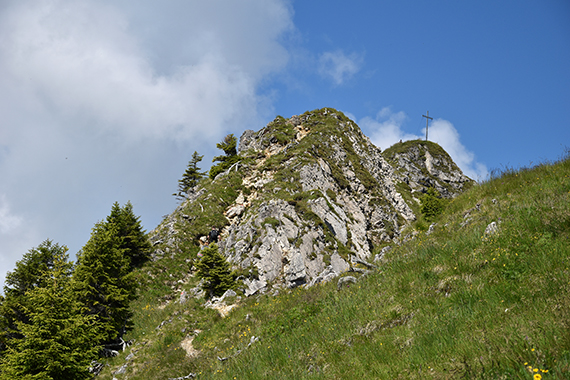
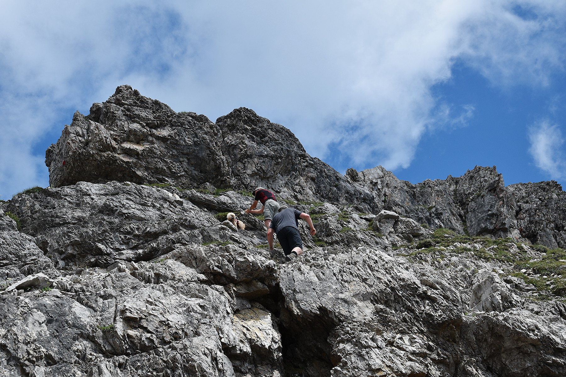
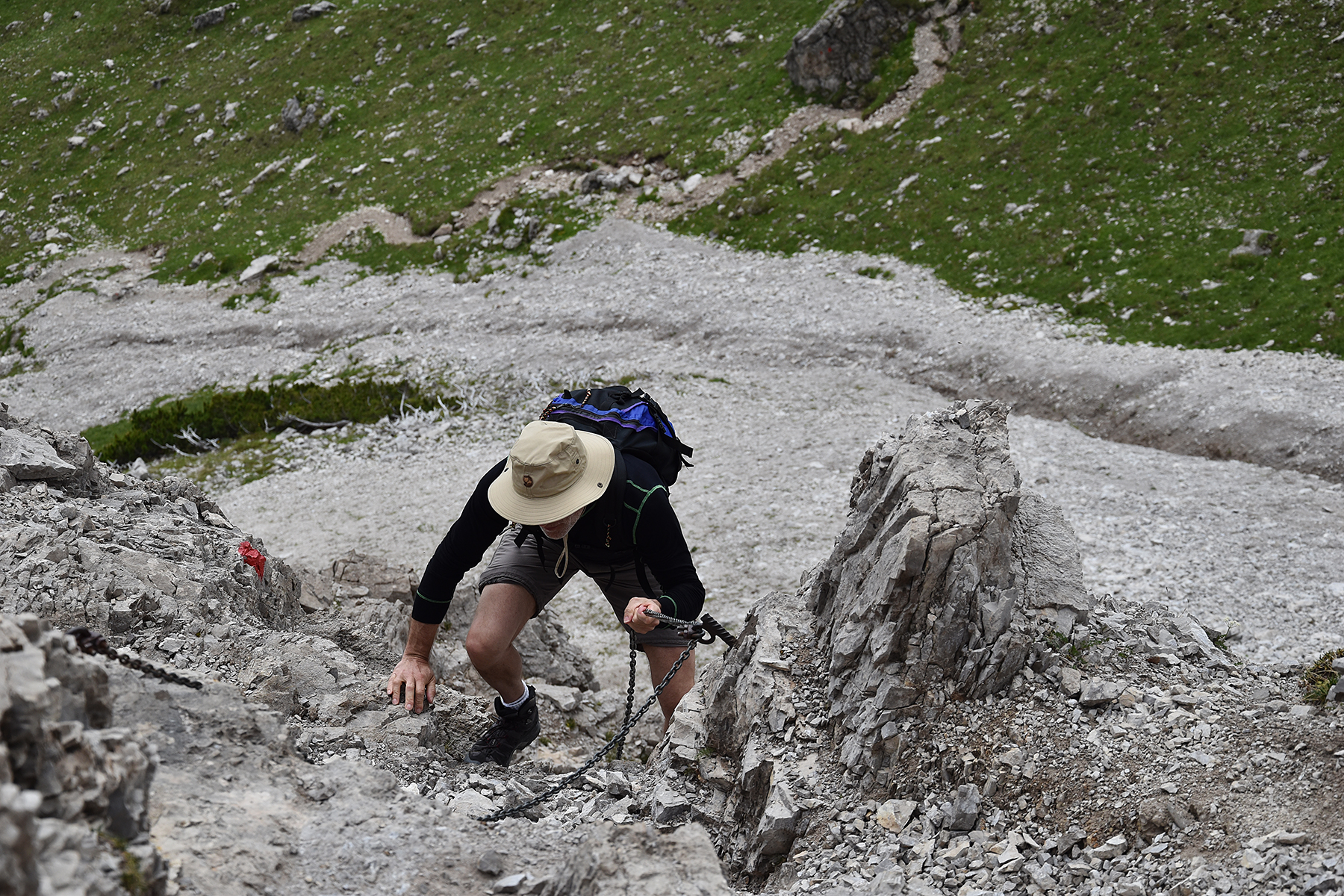
| There
are sections secured with chains. But the fact that I climbed
them with
my camera in one hand without ever touching the chains,
suggest that
it's really not that difficult. |
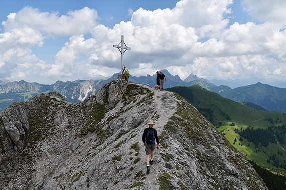
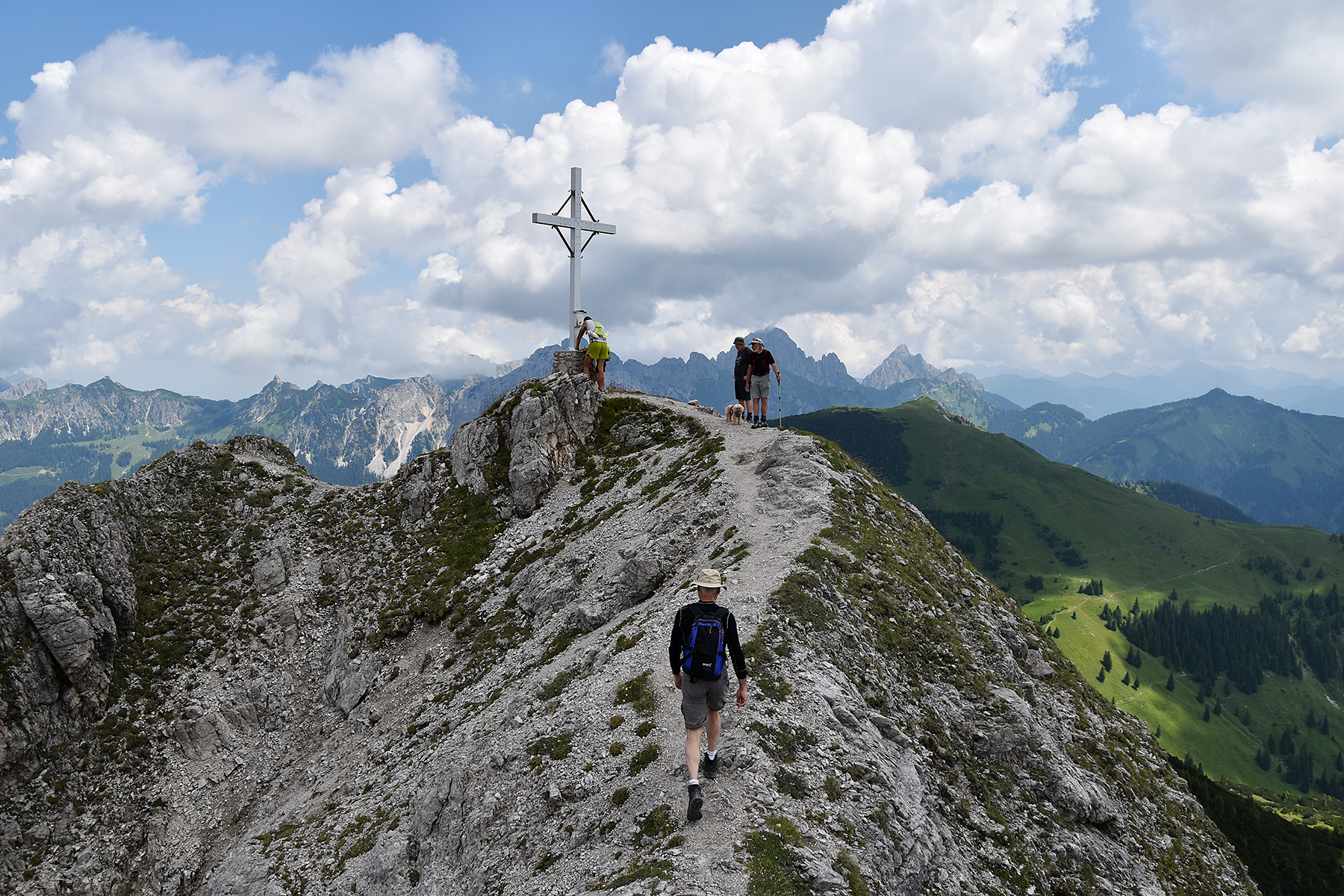
The
summit of Krinnenspitze, 2000m. We get there after
a little more than
one hour. |
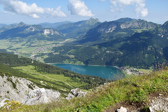
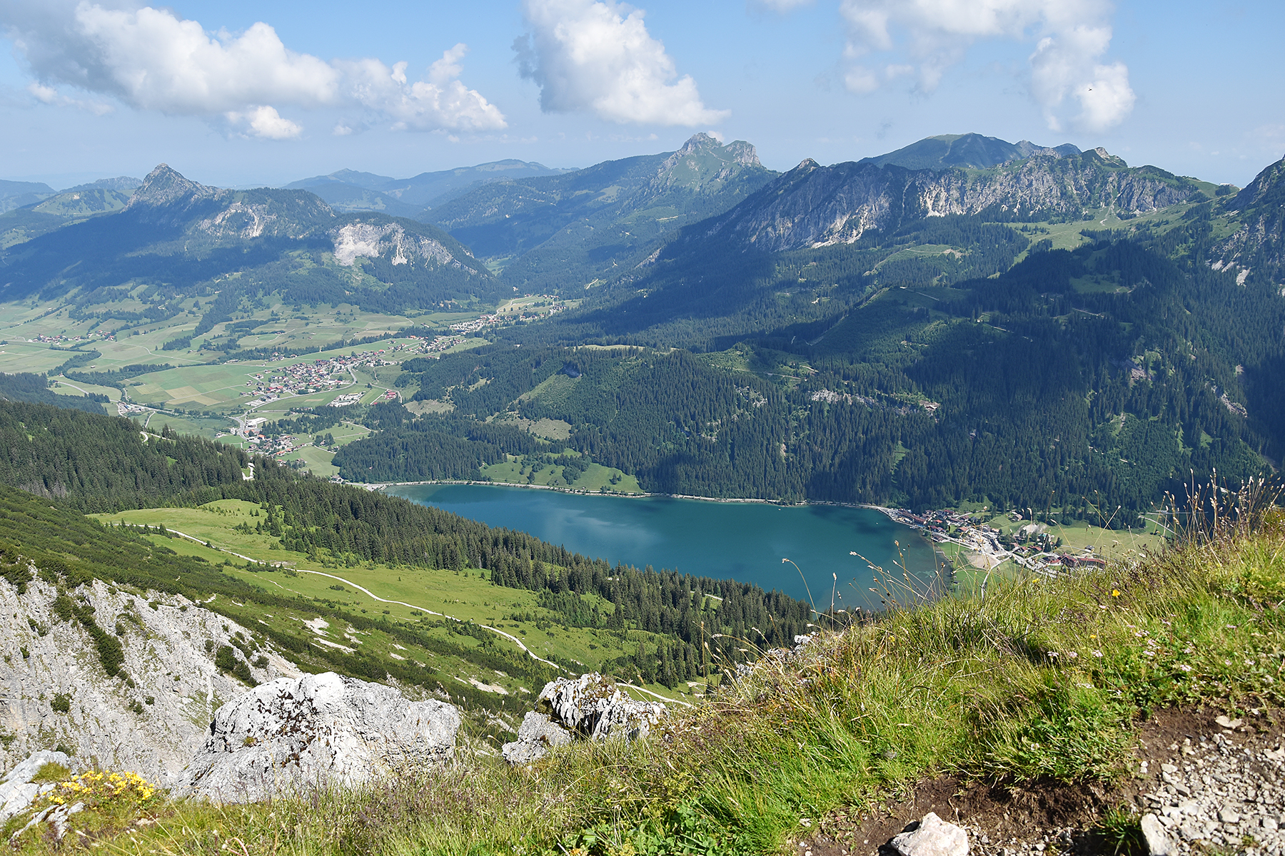
Tannheimer
Tal is a beautiful area, even if the mountains
aren't that high. Here
is Haldensee down in the valley.
|

|
|

|
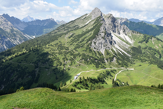
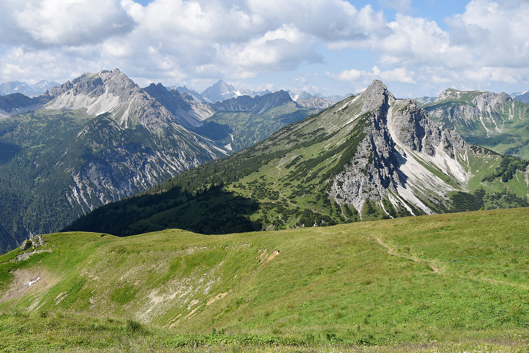
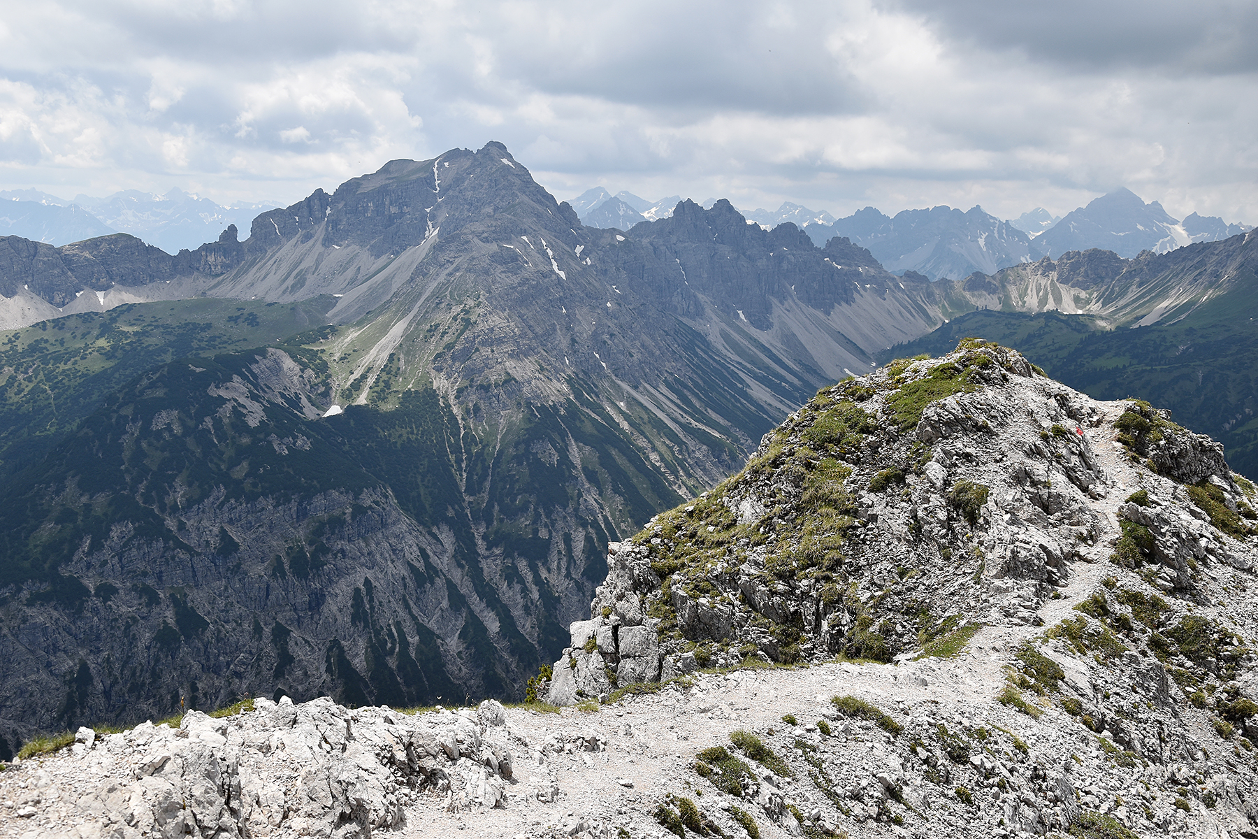
Leilachspitze
2274m to the left, Hochvogel 2593m far
away almost in the middle. To the right and closer is our
next target, Litnisschrofen
2069m |
Descending from Krinnenspitze. Far below,
on1726m is
the hut
Gräner Ödenalpe. Since there was no cappuccino there, I won't show any
more pictures of it. |
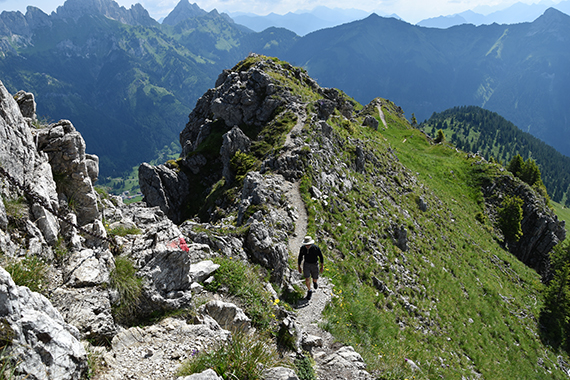
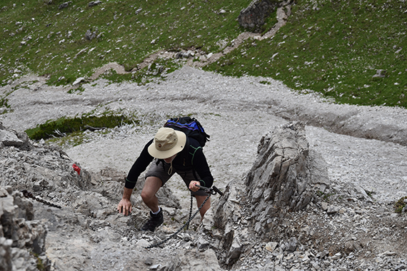
Instead,
we rapidly move up the 300 altitude meters towards the summit
of
Litnisschrofen. The final section is via ferrata, but where climbing
equipment isn't necessary.
|

|
|
|
| Still,
this is no summit for beginners. Some experience of climbing, with no
vertigo is advicable. |
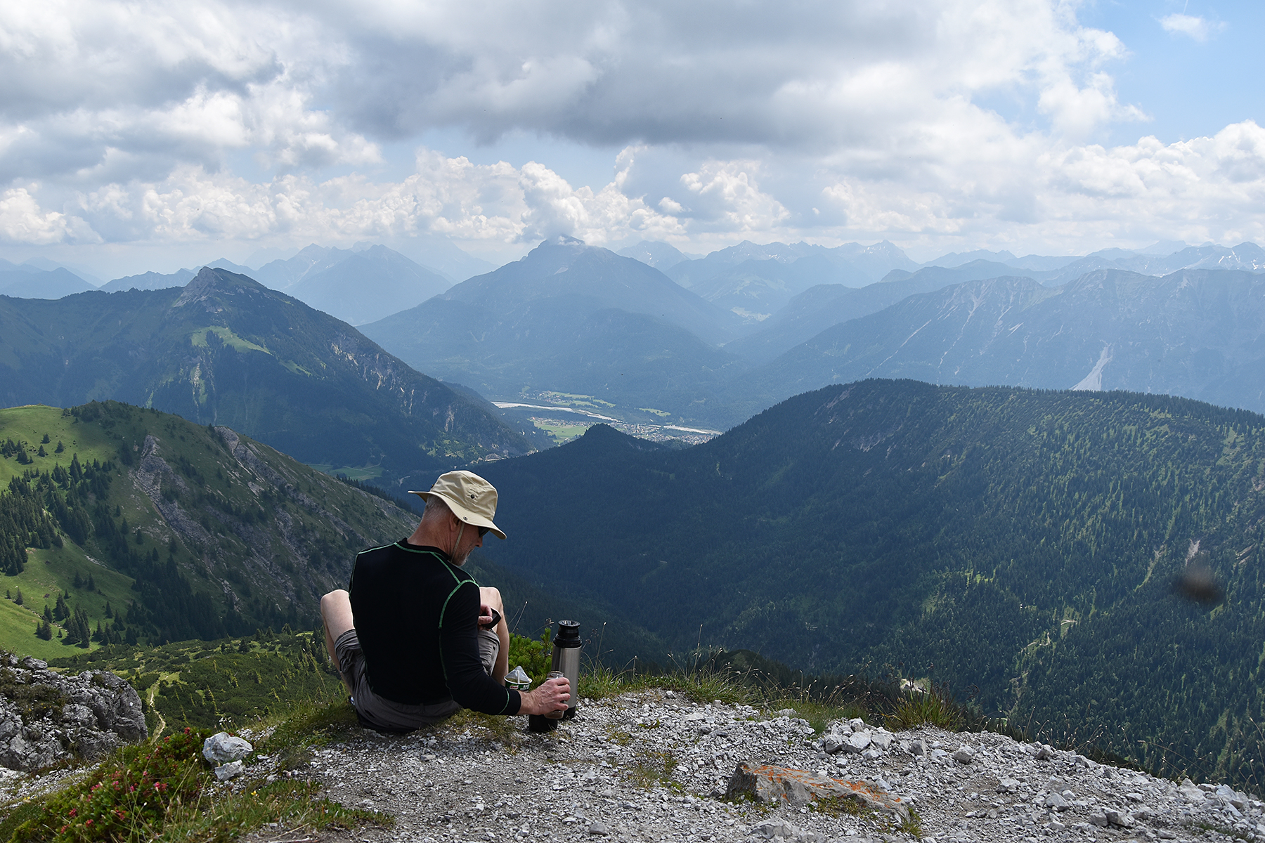
Sören
going up. |
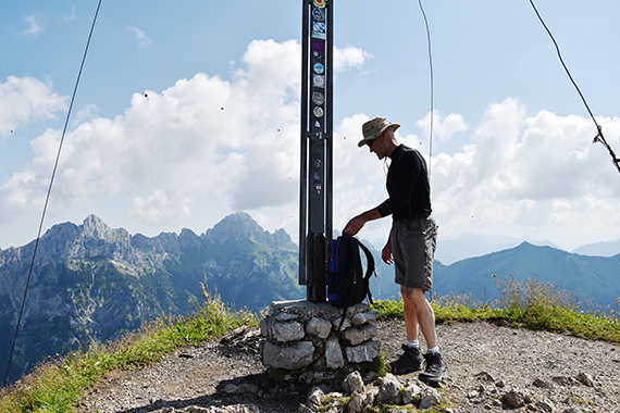
At the
summit.
|

|

|
 |
| Sören
has found a place with a view. |
A look
at Leilachspitze 2274m. |
And
here's Sulzspitze 2084m in the middle of the picture. It's accessable
if you use the cableway from Tannheim.
|


