
|
|
|
Spieser
isn't a high mountain.
It's on the German side just outside Tannheimer Tal,
close to the alpine border. But it's
a beatiful area and we choose
it to avoid incoming rain
early in the day. |
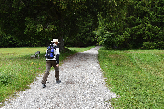
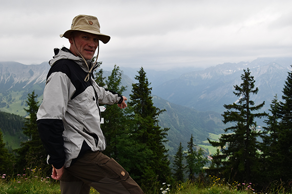
We park
the car in Oberjoch (1140m) at 7 in the morning. Sören sets up
a good pace towards the forest. |
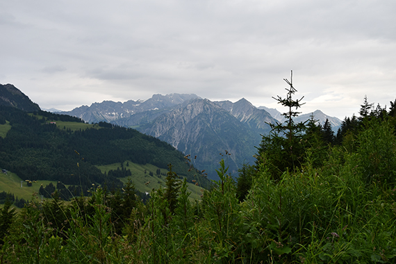
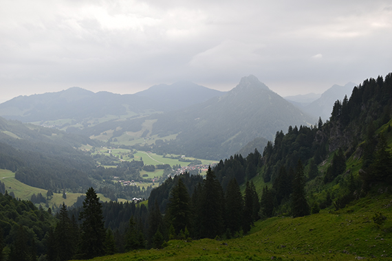
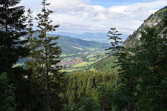
A view to the south as we rapidly gain
altitude. We walk fast to do as much as we can, before the rain comes.
|
|
|

|
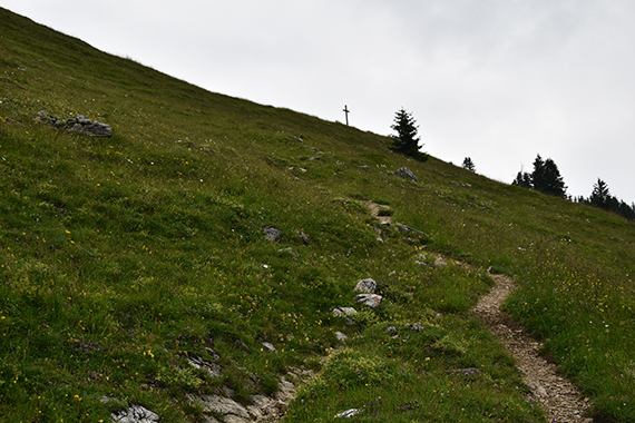
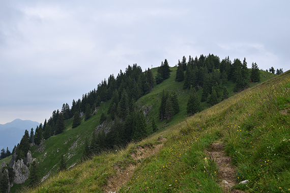
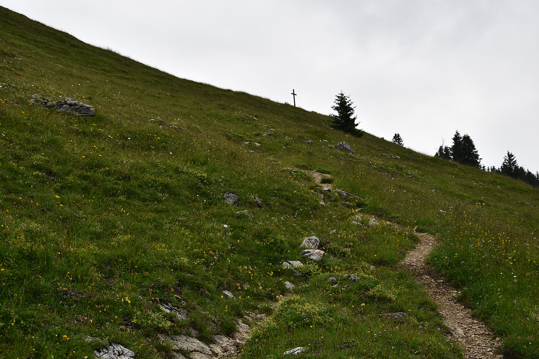
| It doesn't take long, before we
can see the
cross of Jochschrofen above. |
At
Jochschrofen (about 1560m) after just 50min. |
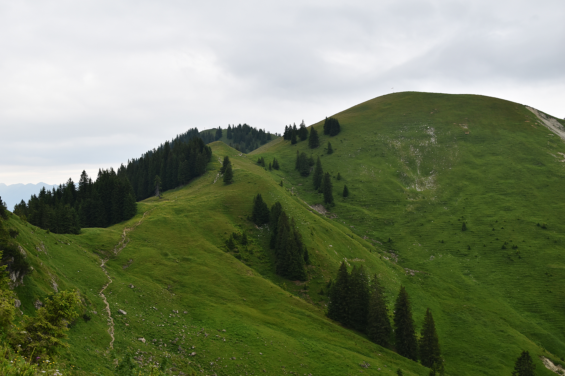
We
don't stay here for long, but press on towards Spieser (left)
och Hirschberg (right).
|
|
|
|
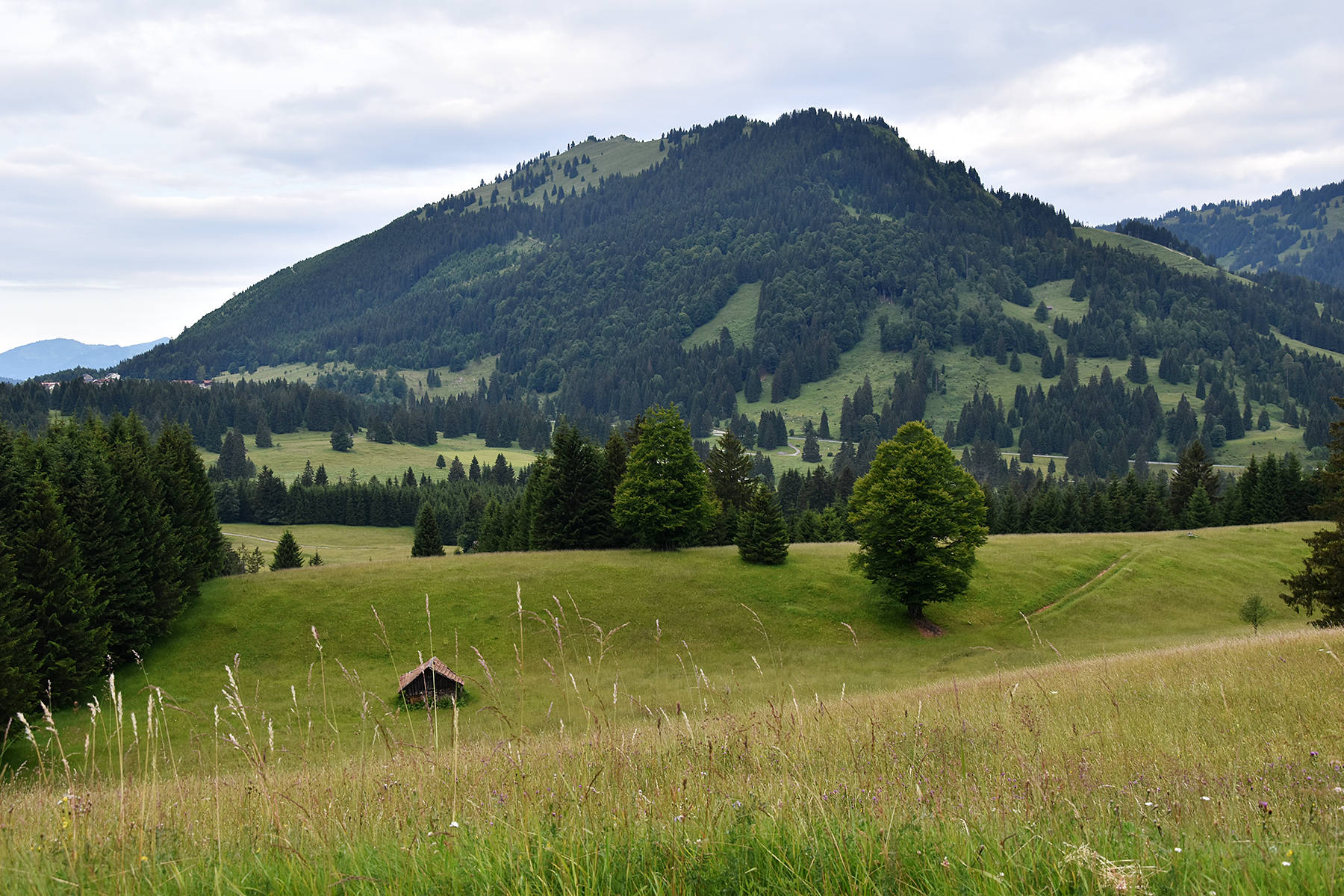
| The
reason for our hurry can be seen here. Just across the valley
we can
see low clouds and rain over Sorgschrofen/Zinken. |
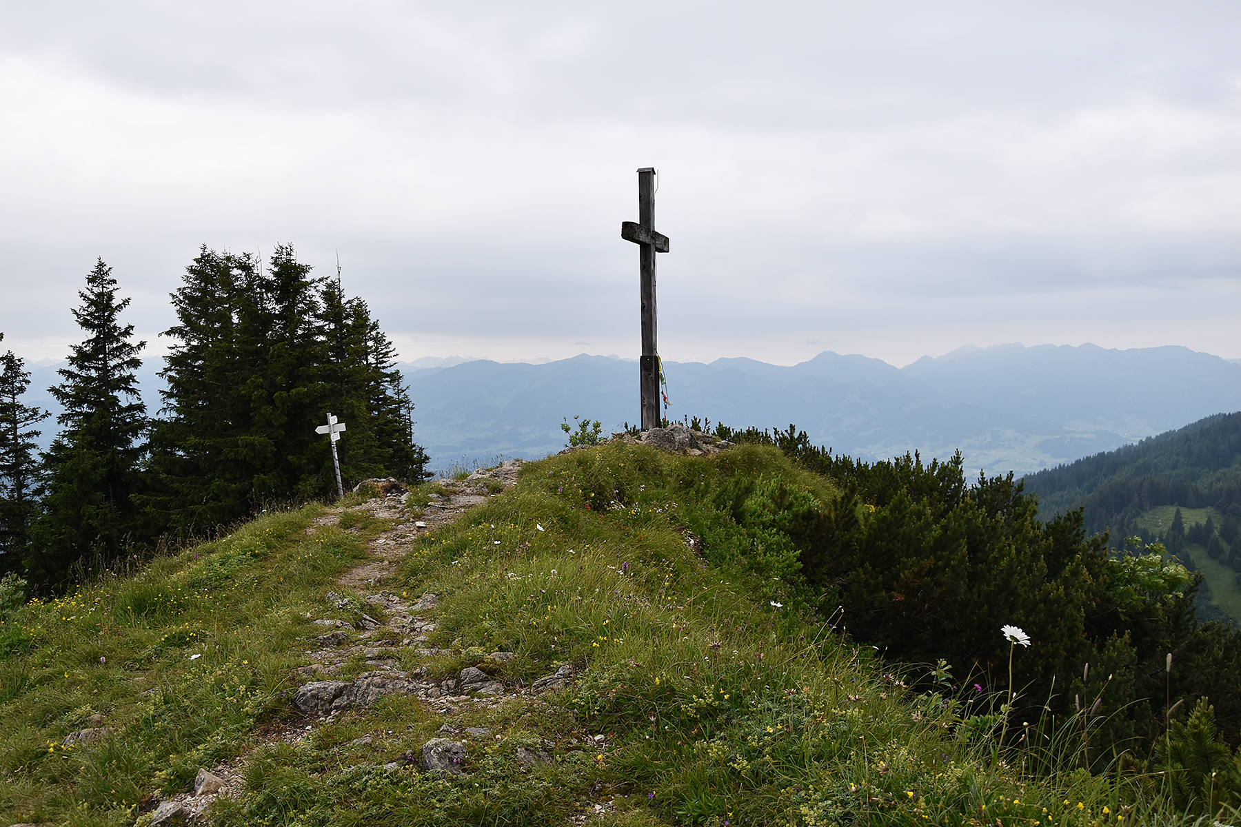
But now it's not far to Spieser, the summit
cross is up there. |
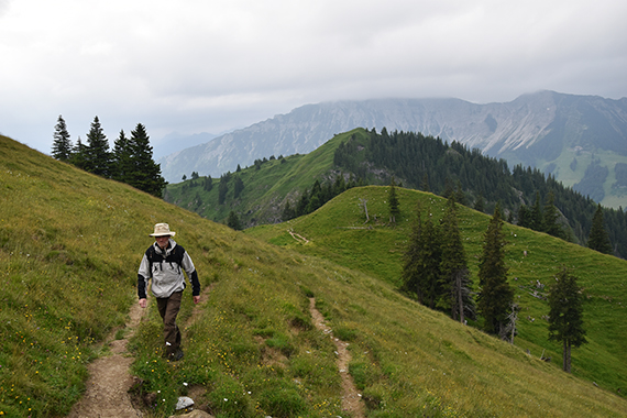
Jochschrofen
is behind us now. There's a descent of 50 altitude meters before the
climb to Spieser. It's easy walking all the way.
|
|
|

|
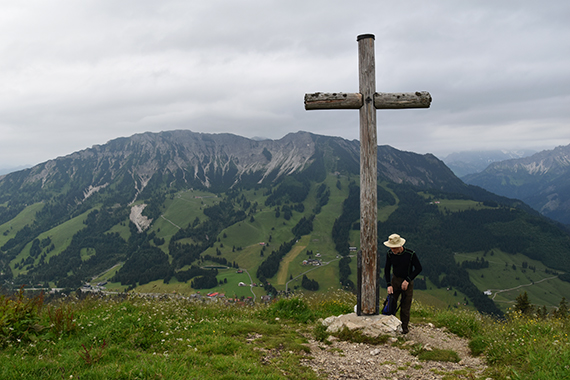
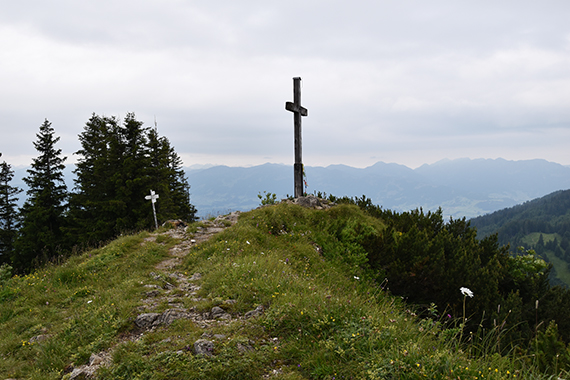
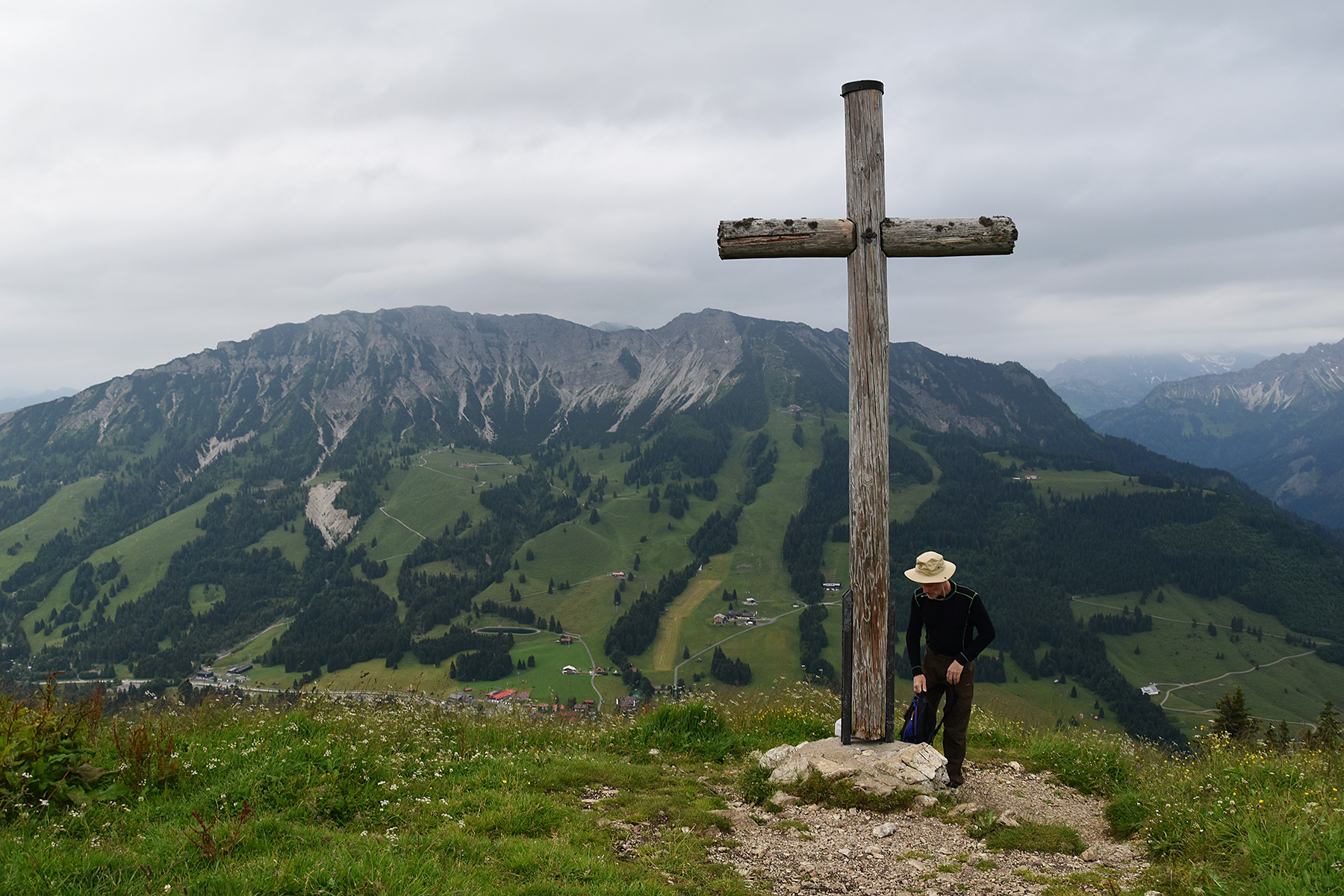
At the
summit of Spieser after 1h 10min. Normal
time
should be more than that. |
Down
there! |
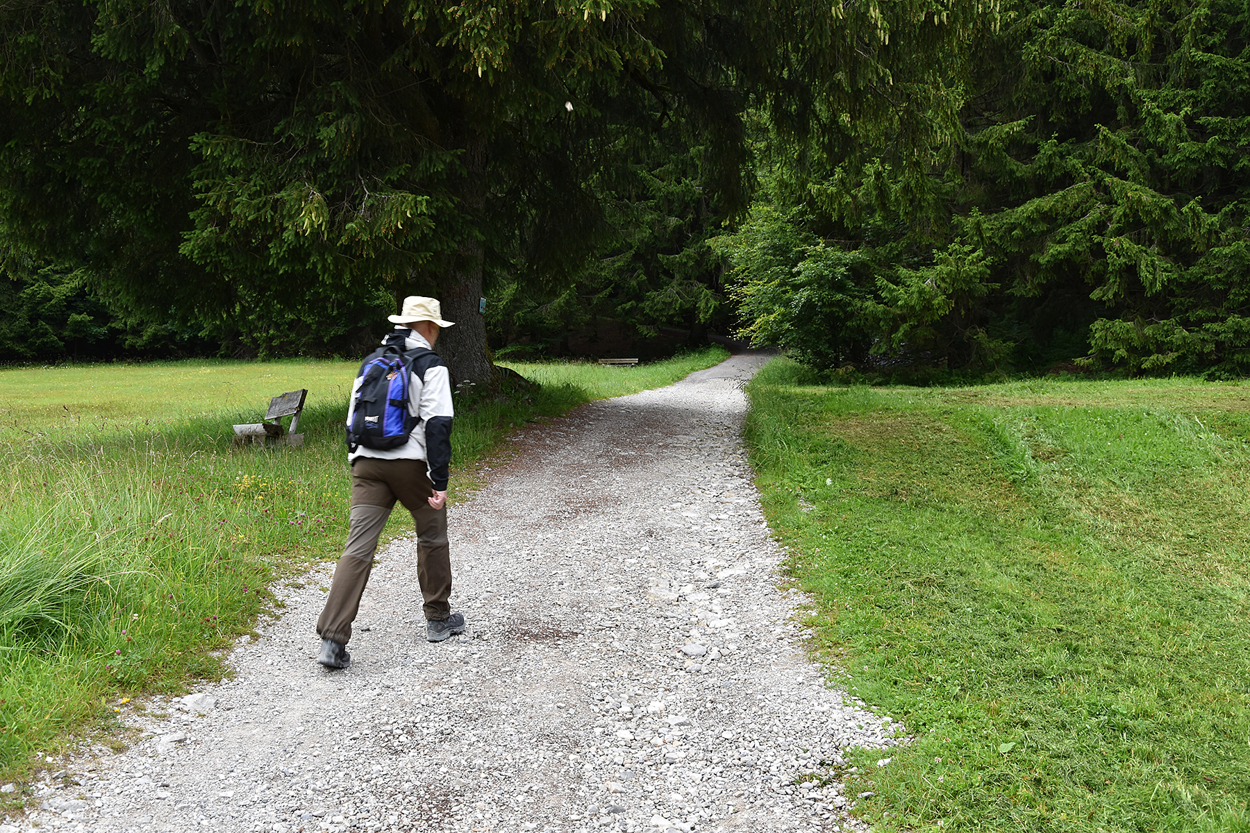
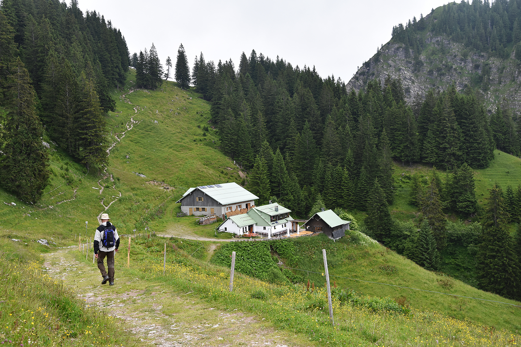
On
our way down we pass the hut Hirschalpe at 1493m. We are able to take a
diffent route back so it's a round trip, always an extra plus.
|
|
|
|
Beautiful
views down to Bad Hindelang as we take the trail
"Panoramaweg" back to Oberjoch. Just as we get back
to
the car the rain begins.
Perfect taiming, getting a good day
in the mountains by starting early! |
|
|


