|

|
|
Early
November and
finally a few days free from work. The soul needs
life energy now. I want to breath mountain air!
Dante
and me take a one day trip to Norefjell, Norway.
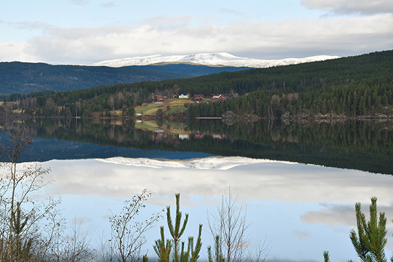
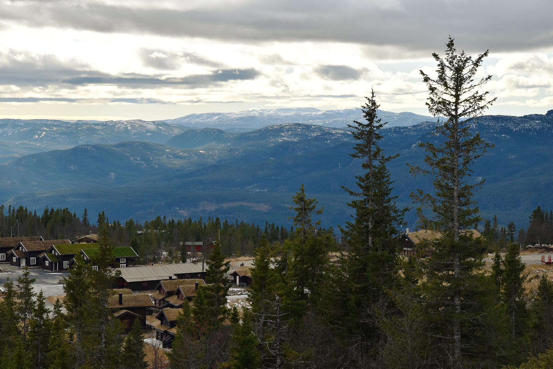
Here is the large mountain area
seen from Sigdal, on
the way up. |
There
is a payroad from Eggedal up to Tempelseter,
where you can park the car at 900m+ (60Nkr 2017). |
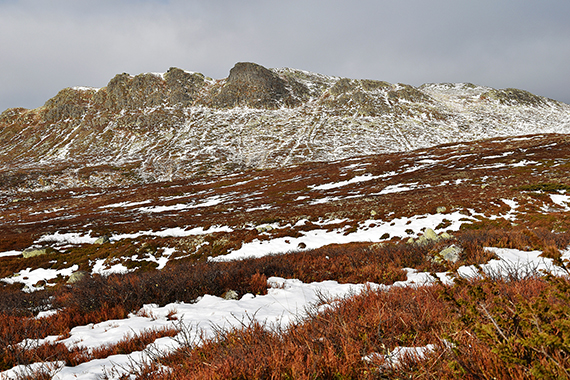
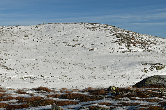
Soon after start you see Ranten (1419m) ahead.
|
|

|
|
| About half an hour later and higher up. The
south side of Ranten is quite steep. |
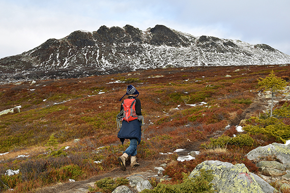
Dante
on his way up. The Gausta peak (1883m) partly
in clouds, at the horizon in the middle of the picture. |
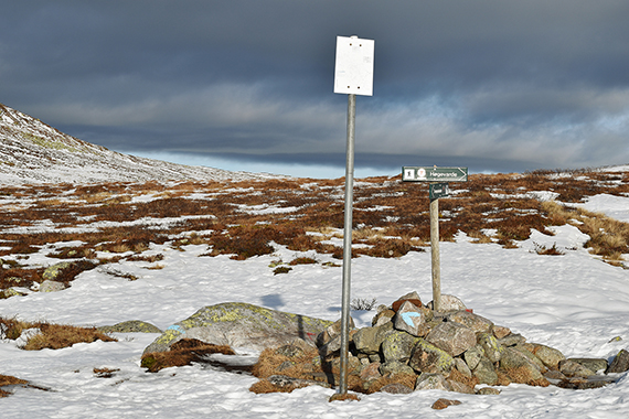
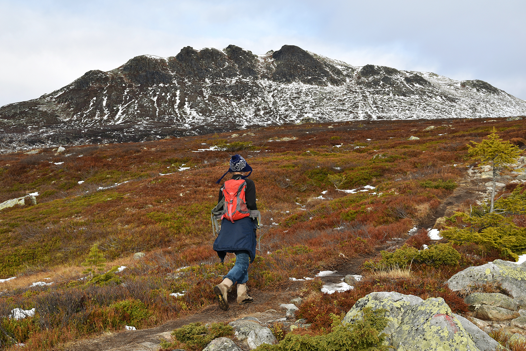
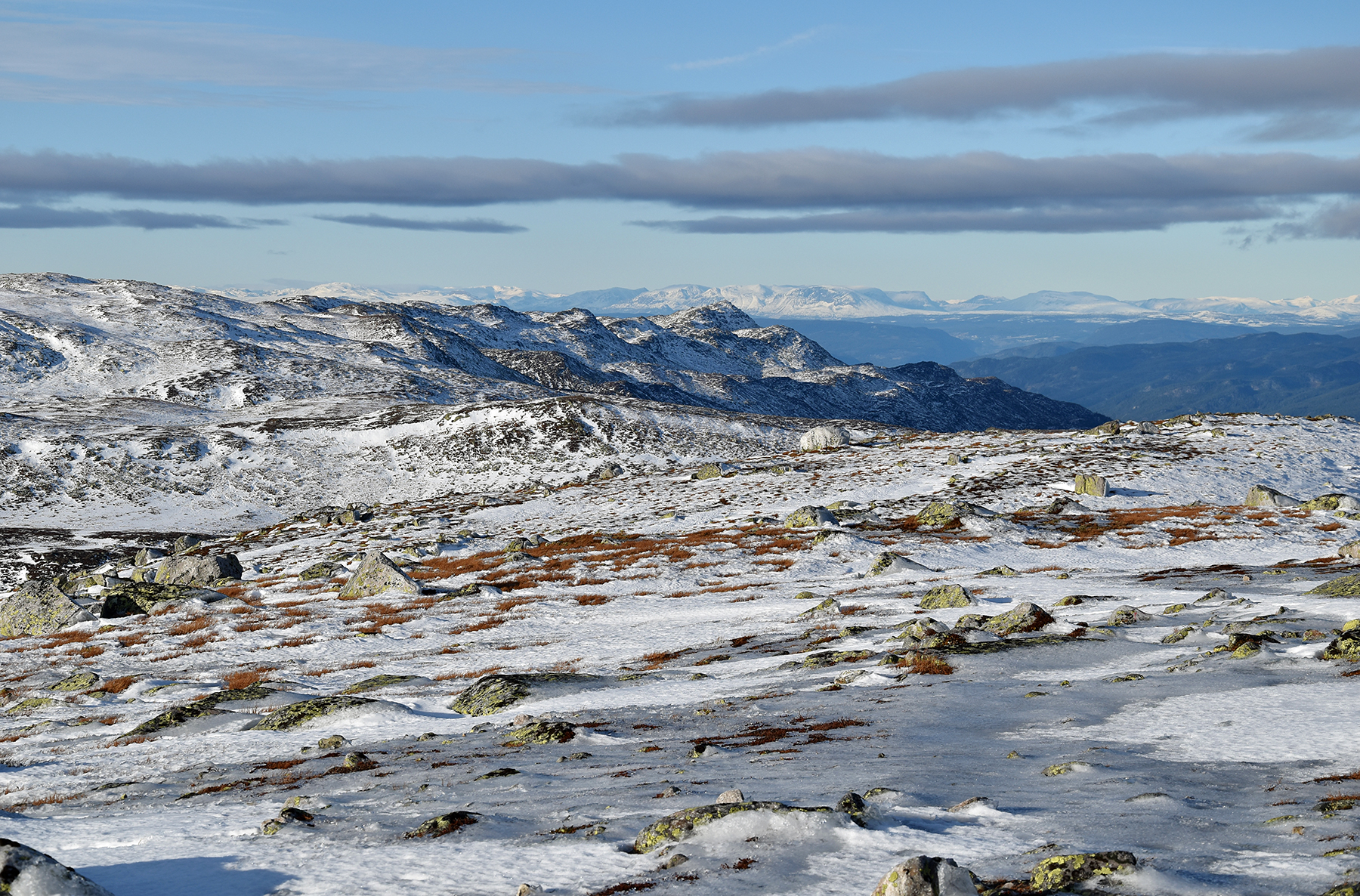
In the beginning the climb is very flat. A
little more than one hour after start we reach a T-crossing on
1200m+, where
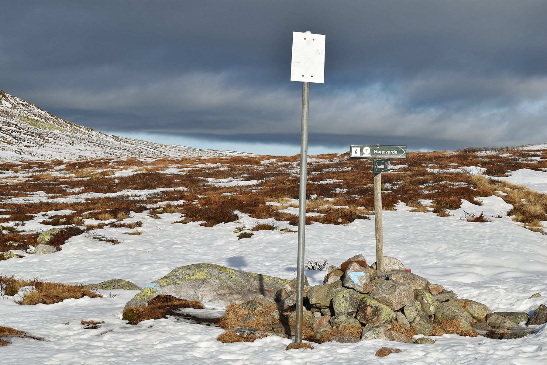
you go right
for Høgevarde. It's easy to follow the
trail.
|
|

|
|
| The
final climb for the summit. |
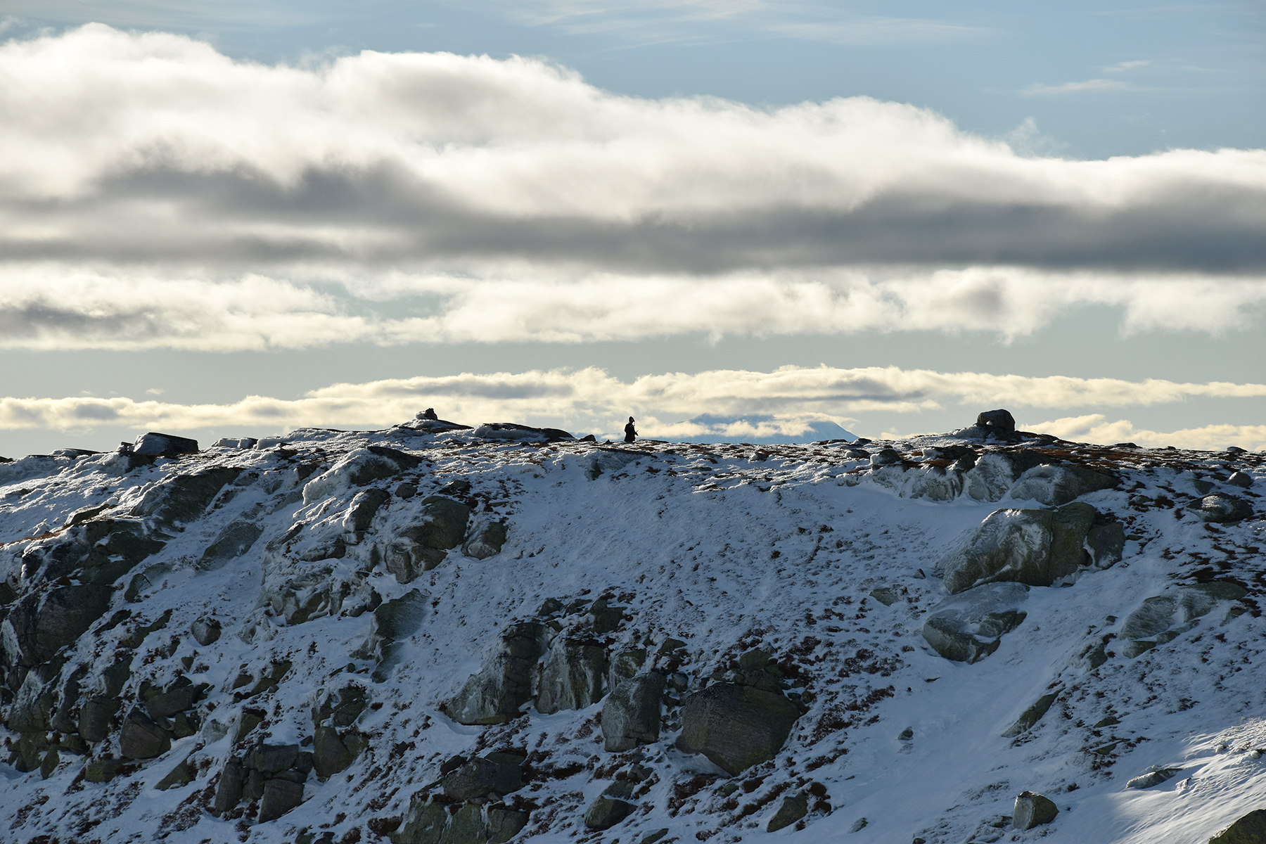
Dante
has reached a ridge to the west of the summit. |
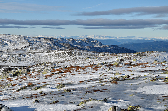
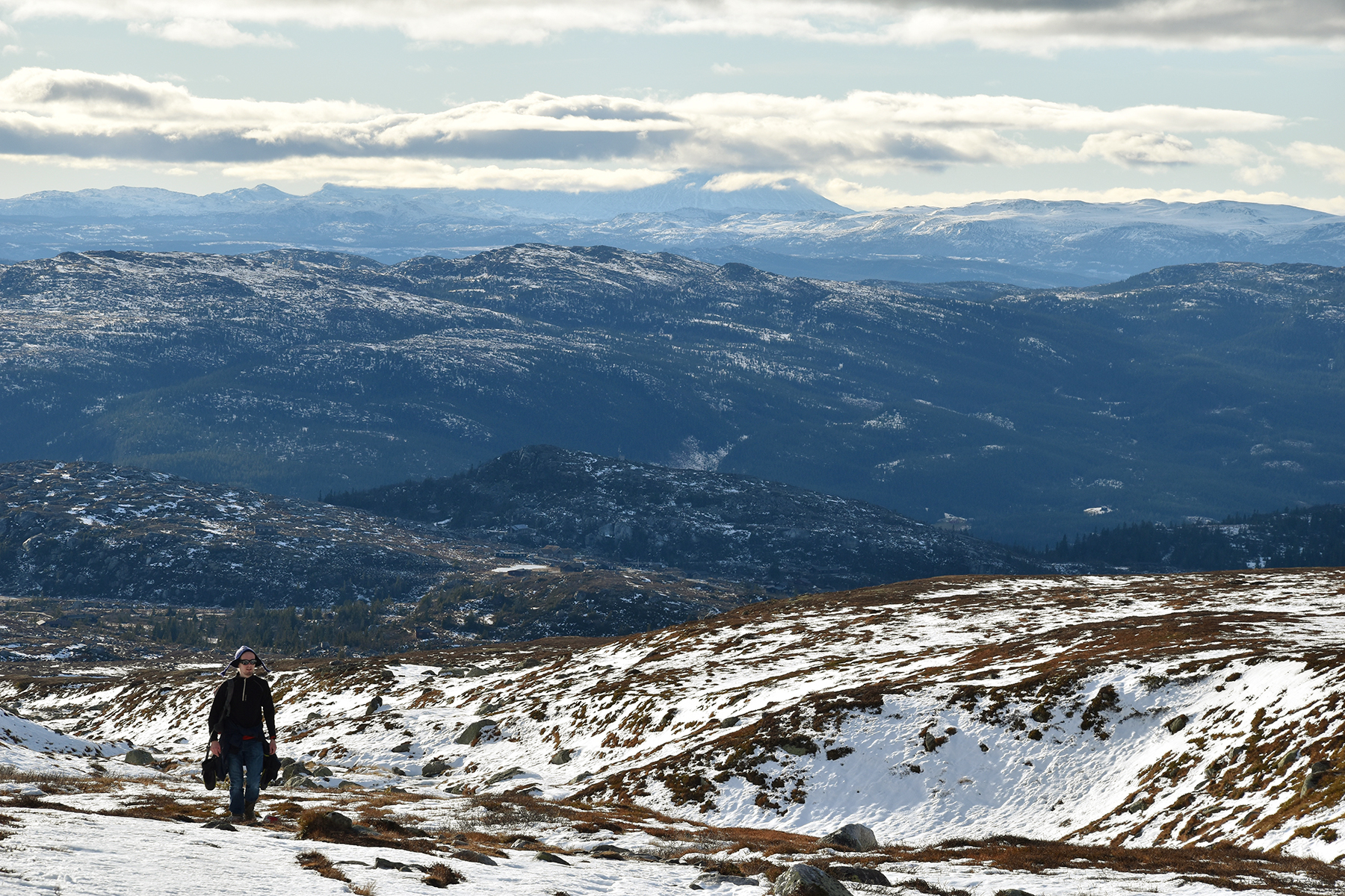
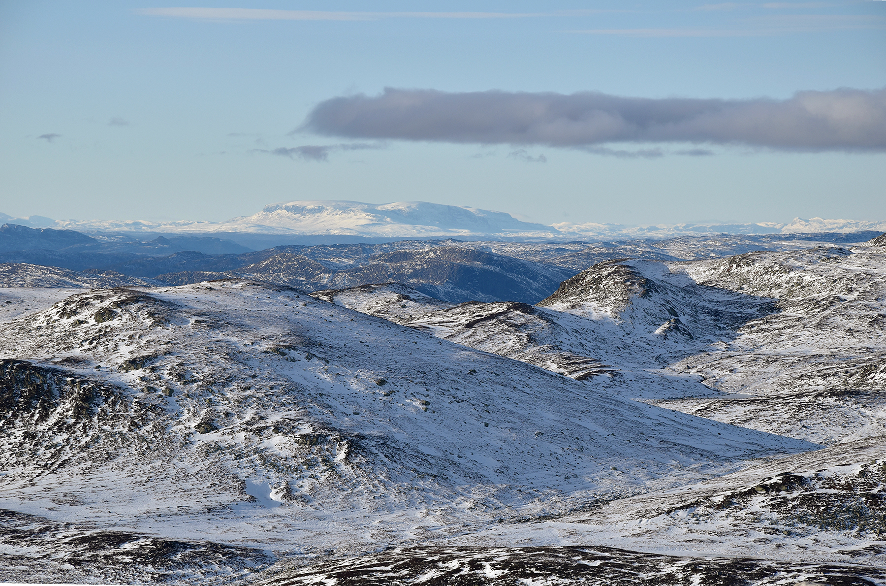
Hemsedalsfjellen,
the mountains
around Hemsedal, at the horizon about 100km to the north.
|
|

|

|
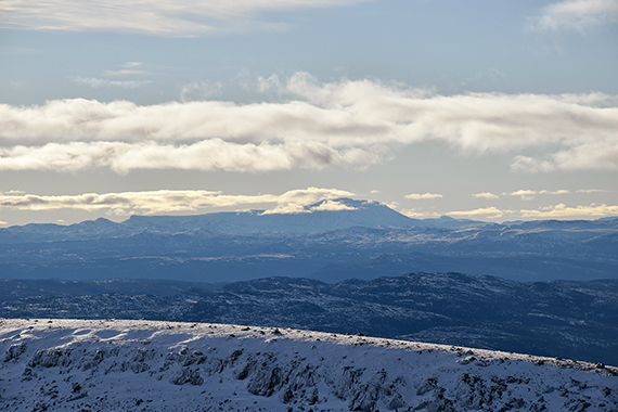
| The
Gausta peak, about 70km to the
south west. |
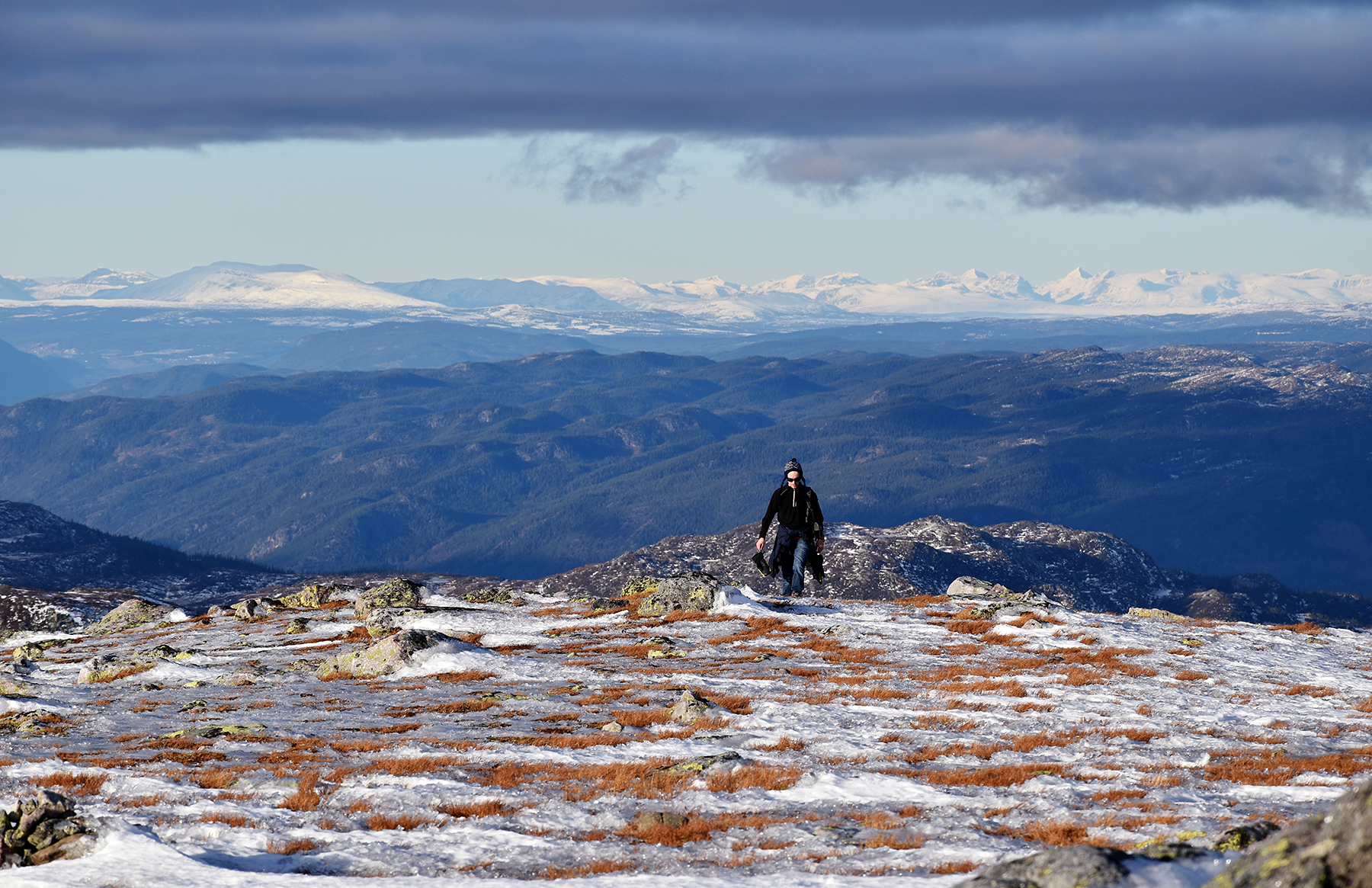
Dante
reaching the summit. We needed a
little more than
2h to get here. In the background to the right are the
mountains
of Jotunheimen, about 150km to the north. |
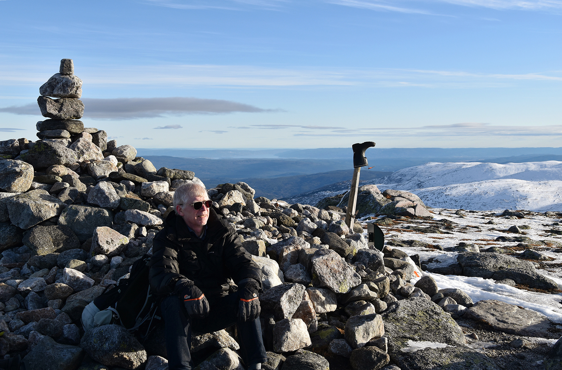
And
here's me at the summit cairn. The boot on the stick
is an interresting artistic statement. Bold, inventive....
|
|

|
|
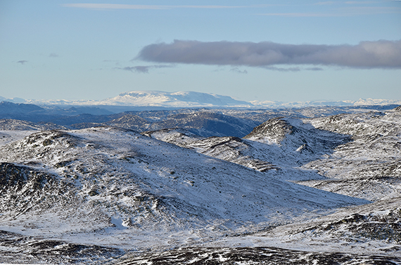
Hallingskarvet,
reaching over 1900m, on the horizon. It's
about
100km to the north west. |
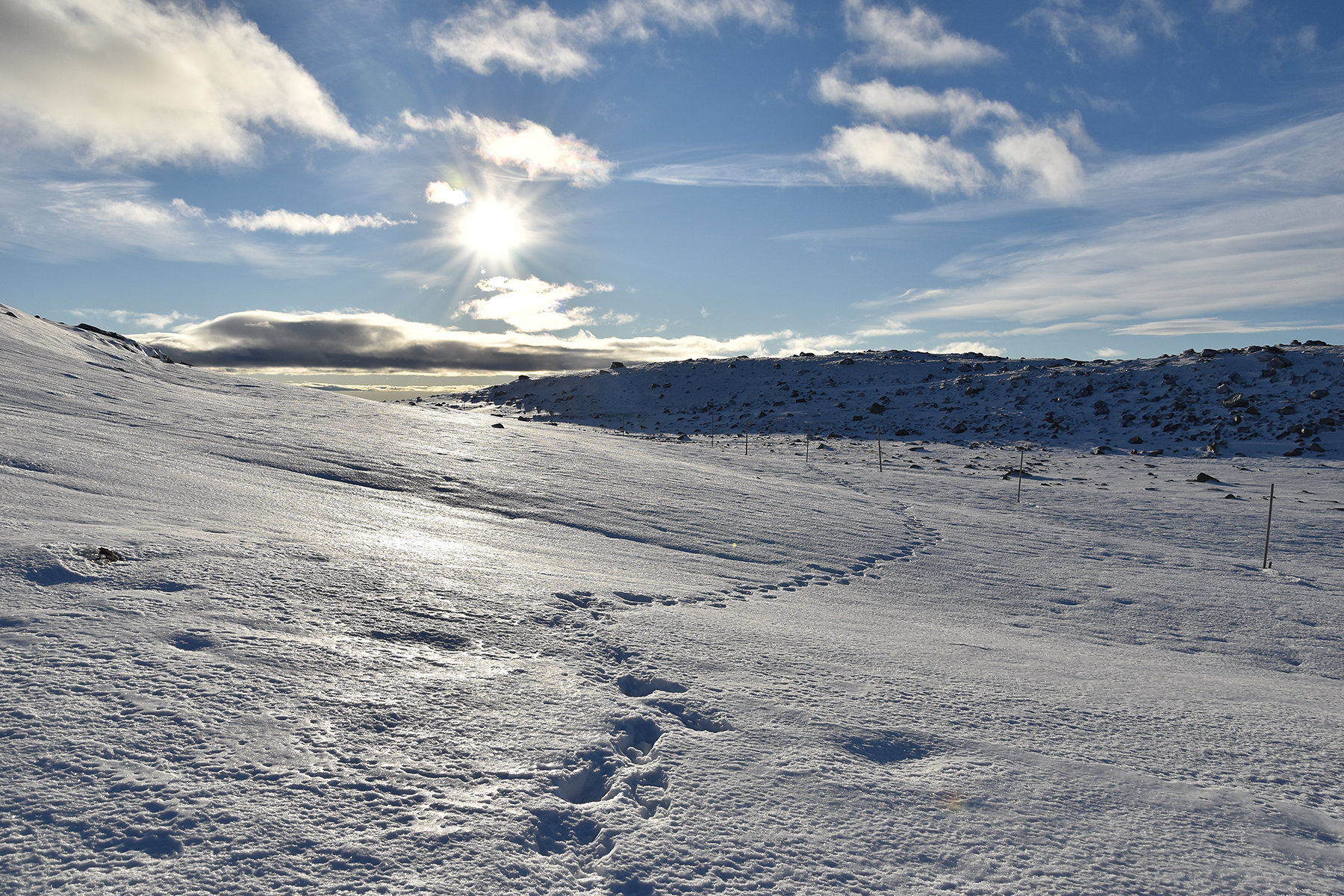
On the
way down again, before sunset. |
|


