|
|
|
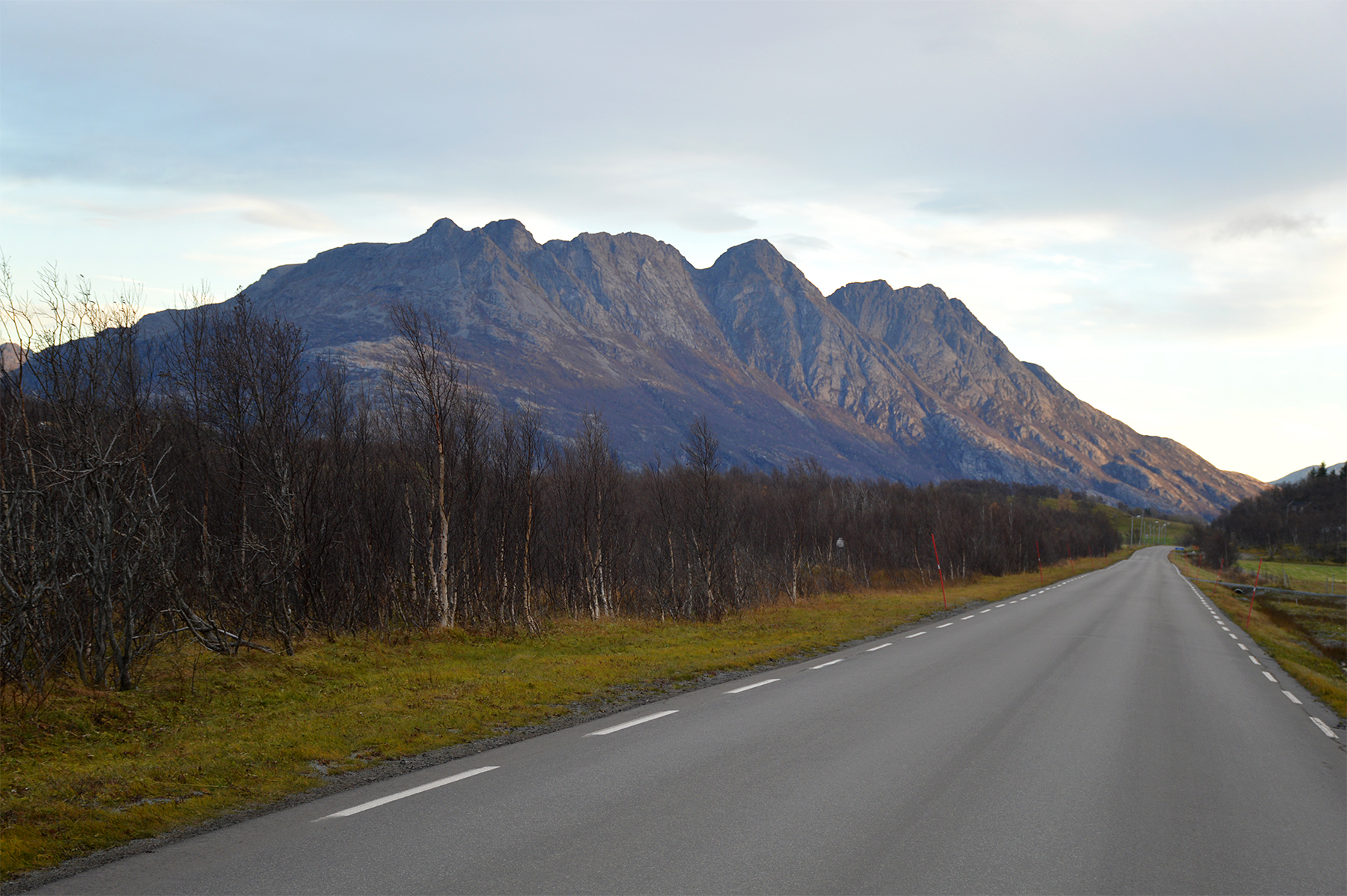
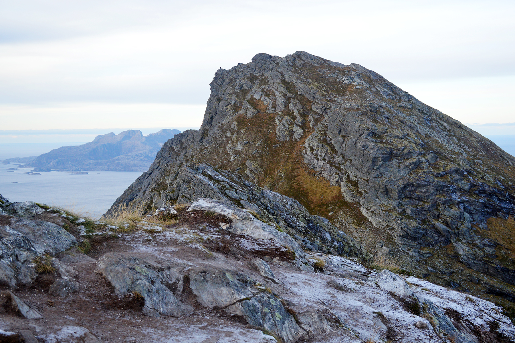
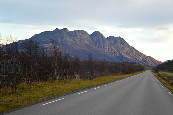
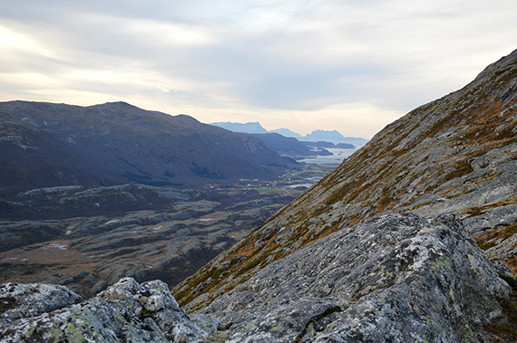
Mjellefjellet
can be found about 20km north of Bodø. Here
are the peaks Breitinden, Valviktinden and Litltind.
The
climb
to Litltind is from the right in this picture. |
The
starting point at 50m altitude. From here it's easy to
follow the path leading up towards the summit. (Although I
actually
took the wrong
route on my descent, giving me a detour...) |
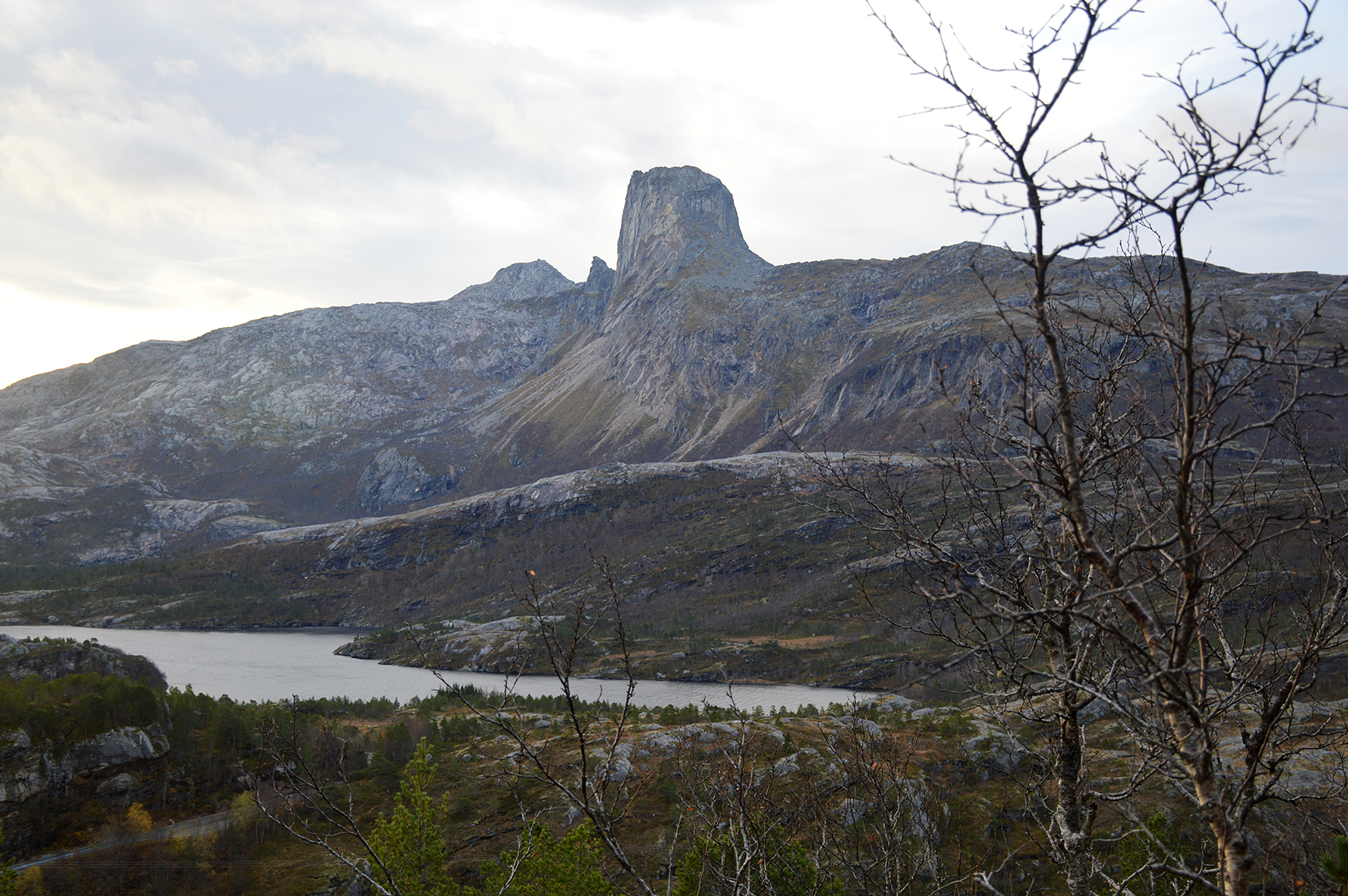
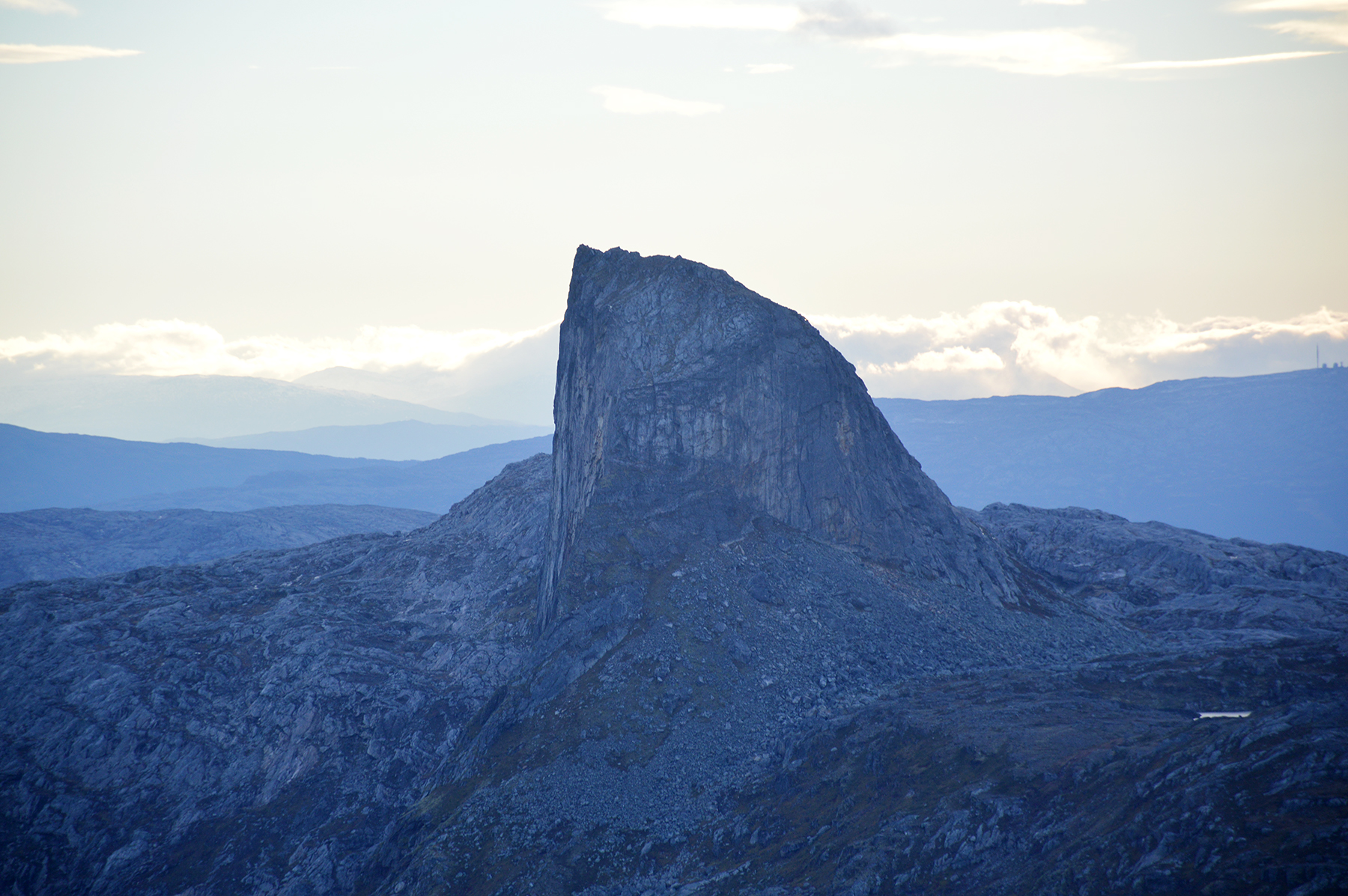
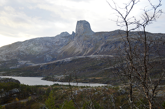
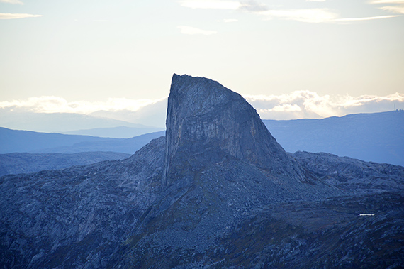
Steigtinden
793m, very steep.
|
 |
 |
 |
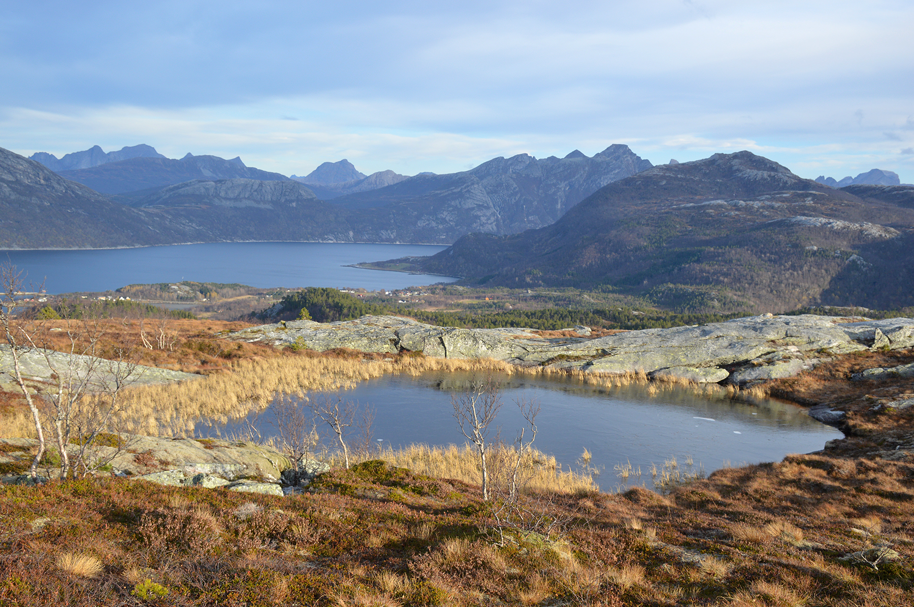
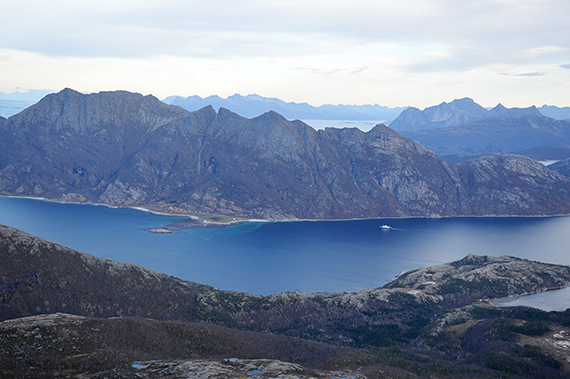
| Mistfjorden to
the northeast. |
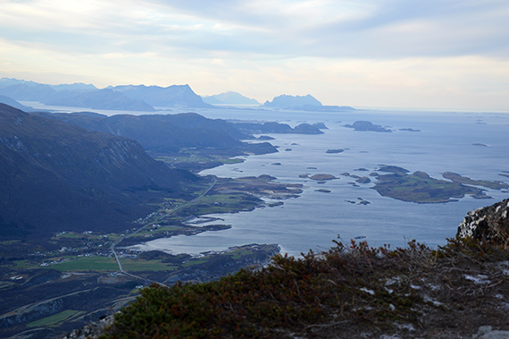
Looking
south towards Bodø from less than 500m. |
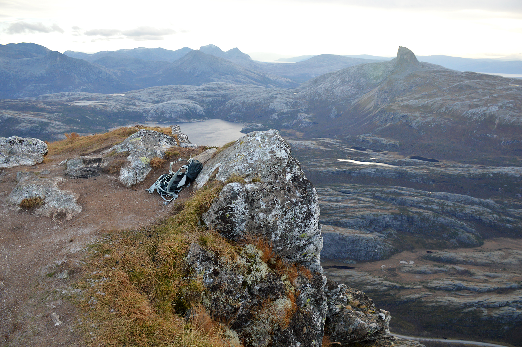
The
summit is quite sharp with a drop to the north. The
official altitude 717m might possibly be a bit low. My
altitude meter
shows 735m. But
it's not a totally accurate instrument, so...
|

|
|
|
| The somewhat higher
peak Valviktinden (780m) to the west. You
have to descend
quite a bit before climbing that one, so I leave it. |
The
ferry is crossing the fjord. |
Looking
south towards Bodø.
|

|
 |
|
| Zooming in to the south. |
Zooming in Steigtind 793m. |
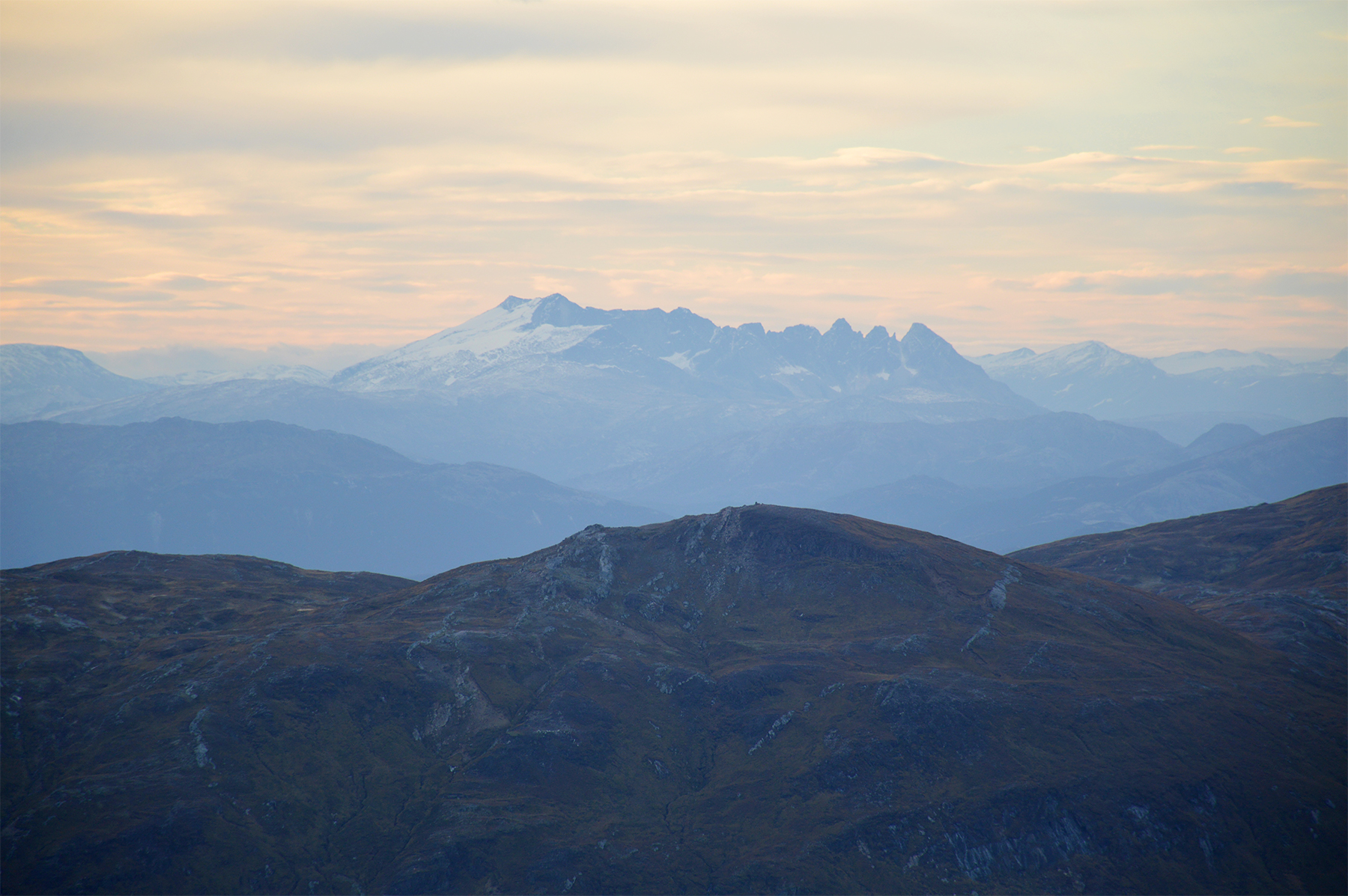
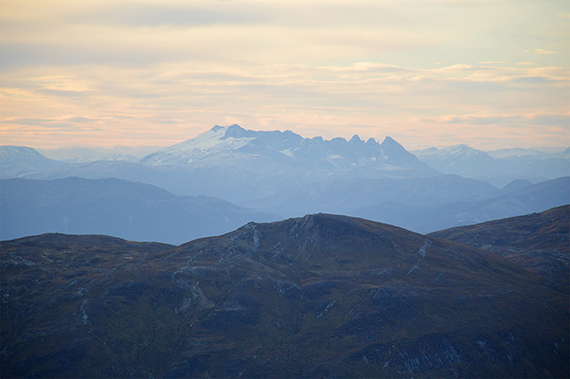
I
believe this is Småtindan 1320m, south of Bodø.
|
|

|
|
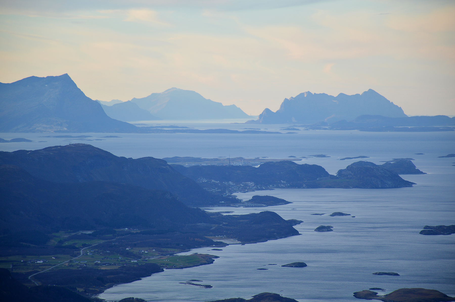
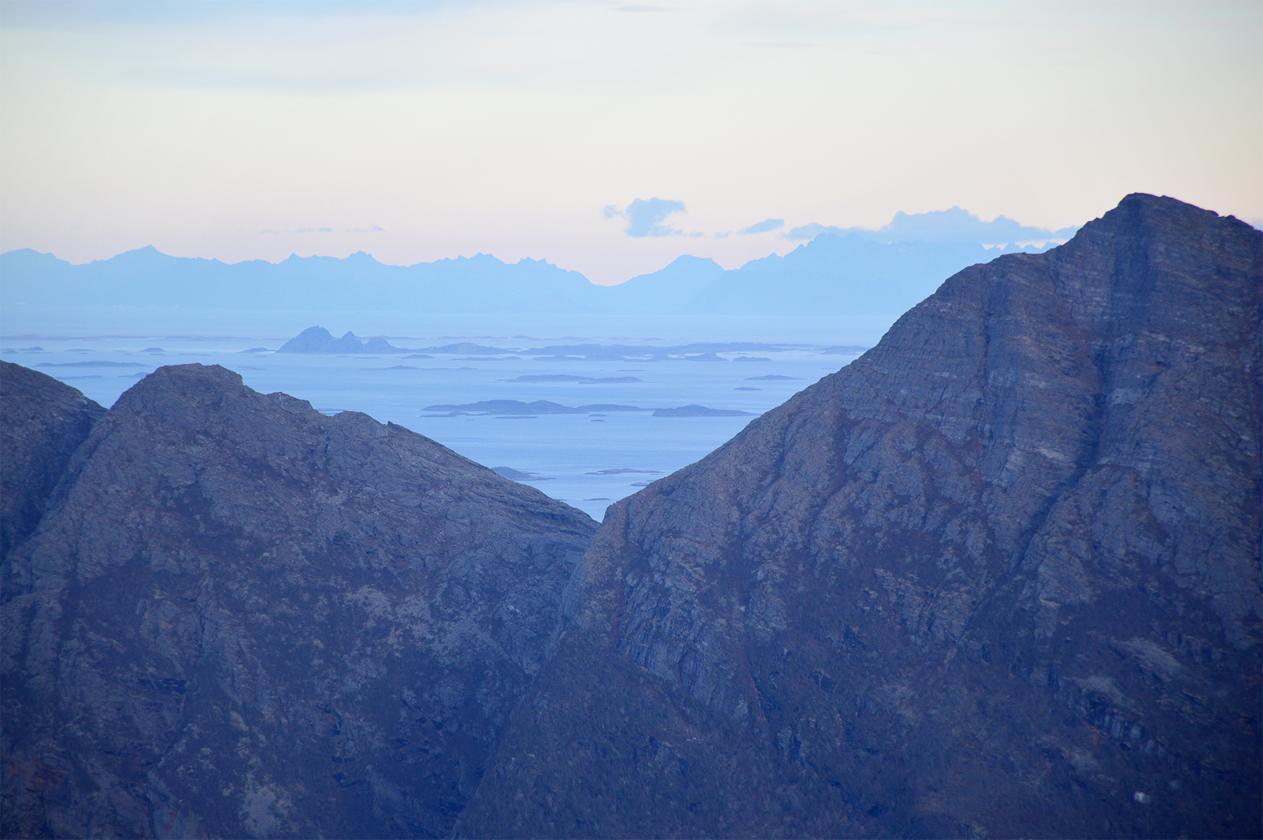
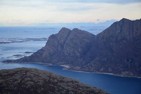
Mistfjorden
far below and Lofoten towards the horizon in
the background. |
Zooming
in towards Lofoten. |
|