|
|
|
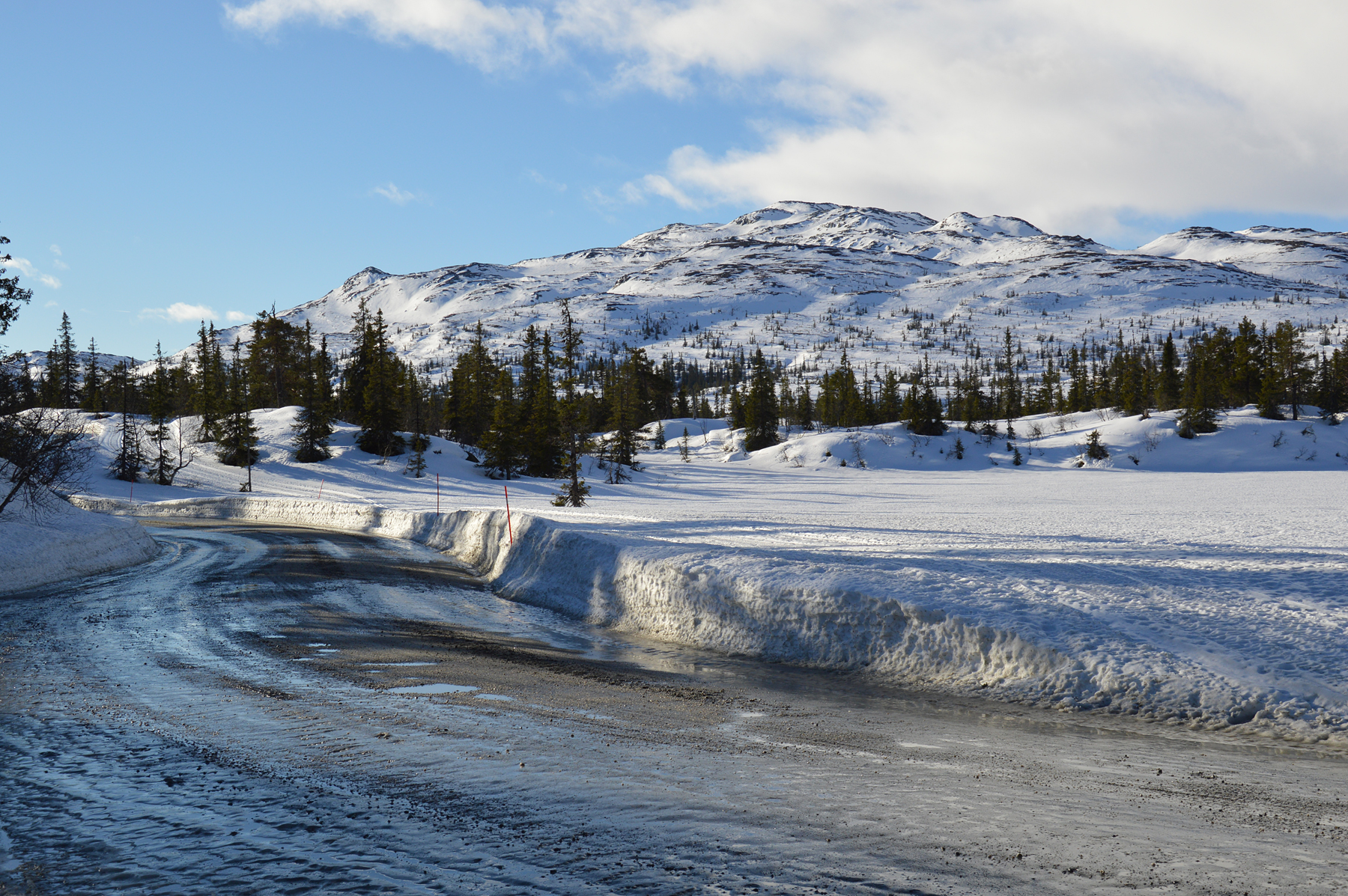
Norefjell
is a large high mountain area, less than 2 hours
drive from Oslo. There are a number of peaks up
here,
I have already climbed Høgevarde
and Ranten. But the
highest of them all, Gråfjell, I havent
climbed
yet. Now it's
time. The picture is from the road going up. |
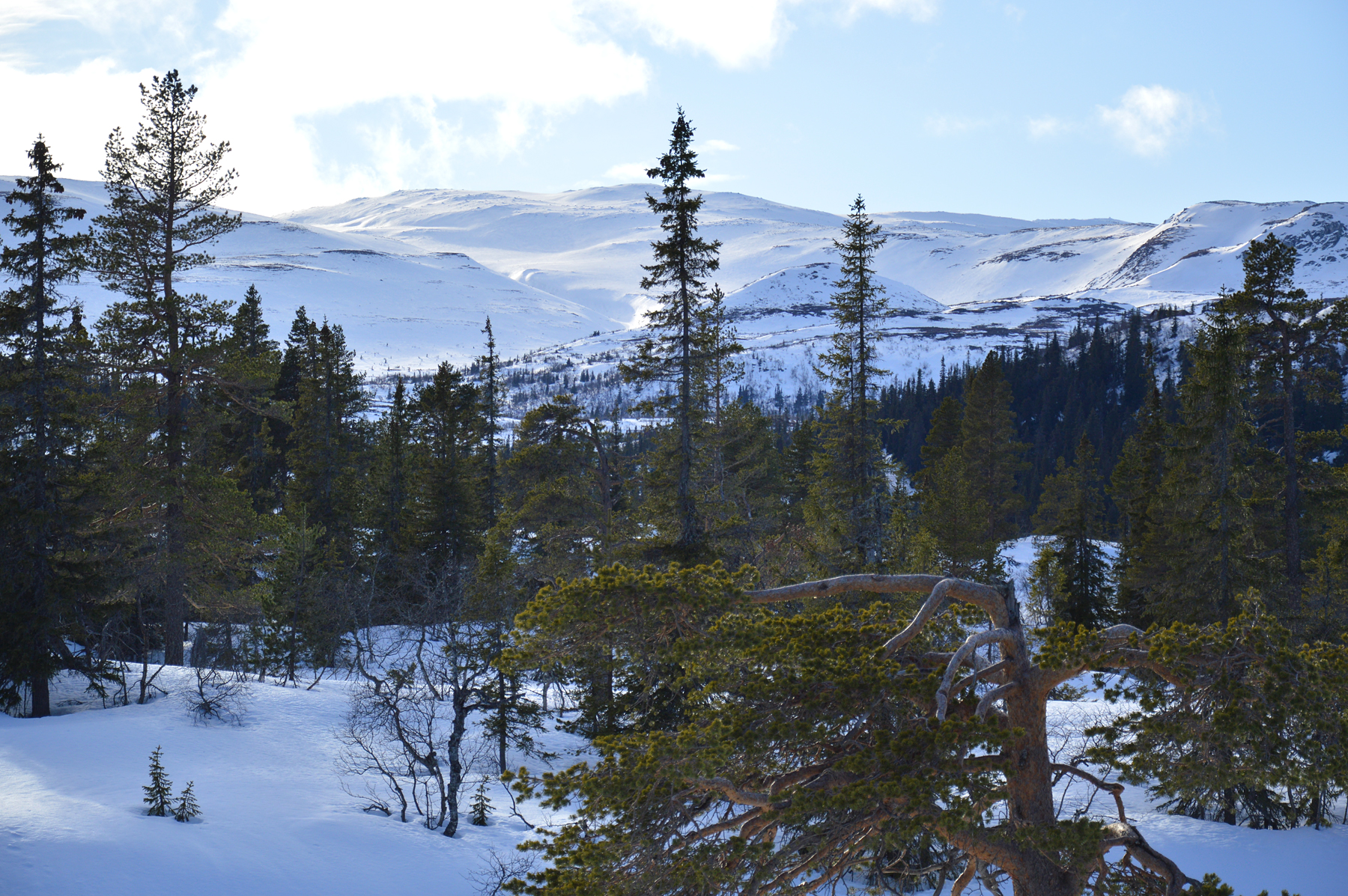
Gråfjell
is easiest climbed from the east, where a tollroad
(60Nkr
2015) leads up from
Hallingdal. It's kept open in wintertime and I can follow it to 900m,
before parking at
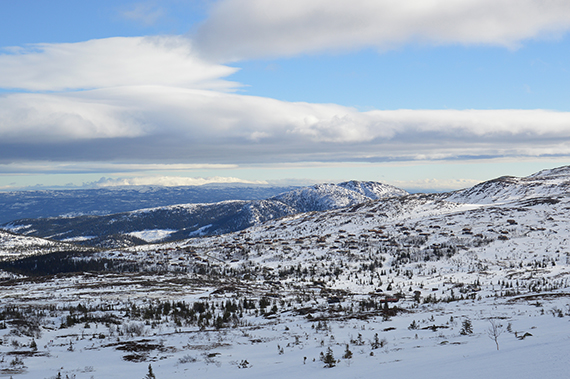
Gulsviksætran. This
picture is a bit lower, as the higher
areas of Norefjell emerge. |
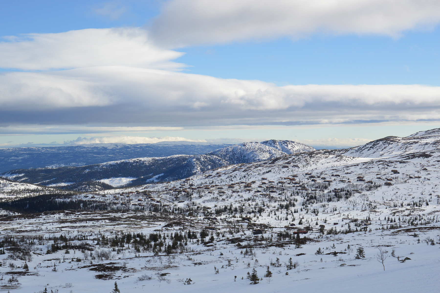
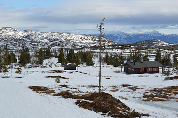
There
are plenty of cabins up here. I pass
the last one just below 1000m.
|
|
|
|
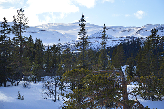
Just
above the tree limit, at 1100m. Beautiful lenticular
clouds
has
formed in the wind. Good conditions for soaring
right now. There is a prepared ski track all
the way to the
foot of Gråfjell. But I choose to walk in
untouched terrain. |
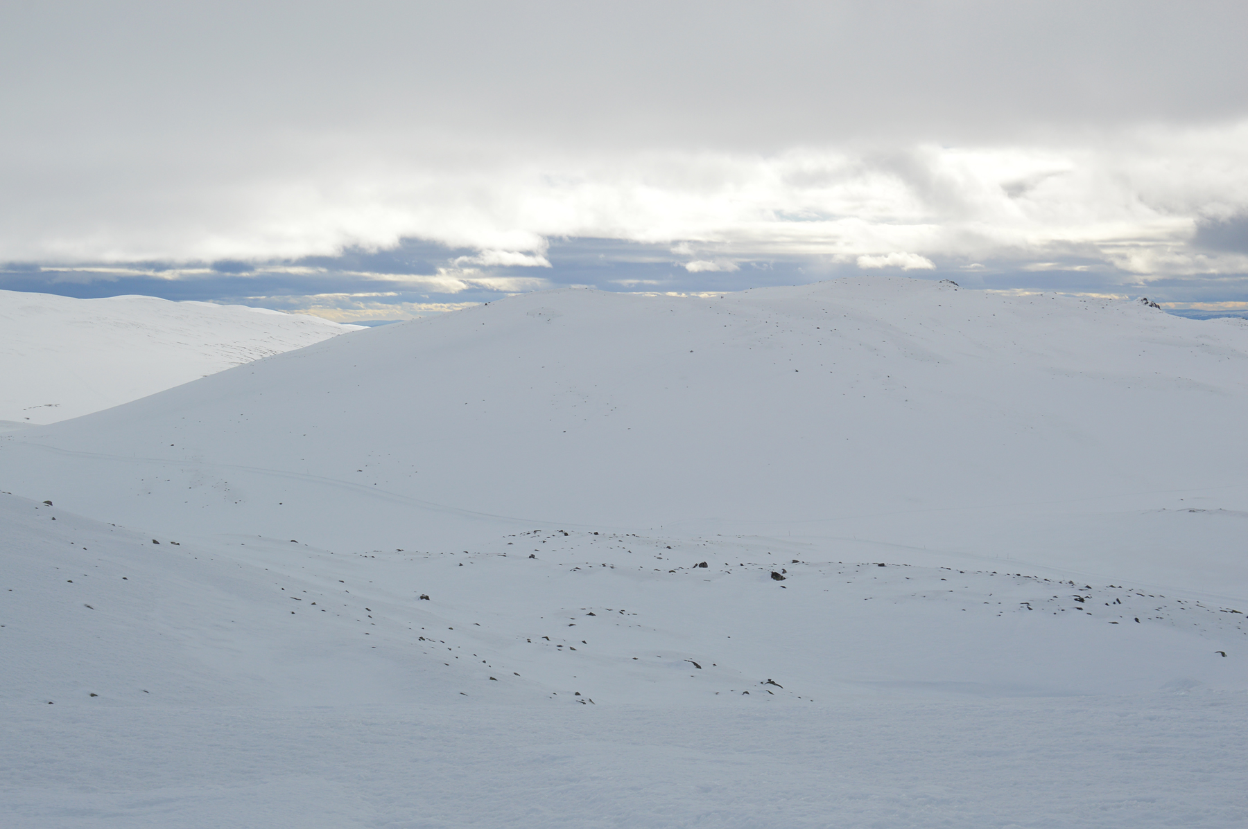
I
climb steep slopes to a ridge at around 1400m, southeast
of Gråfjell, then following it to the summit. |
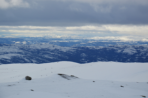
Høgevarde,
1459m, some 4 km to the southeast. It's getting more cloudy now.
|
|

|
|
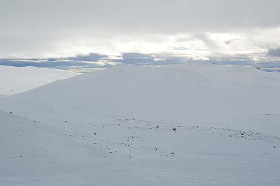
Ranten 1419m, straight to the south. It's
northern slopes
are flatter, in contrast to the steep cliffs to the
south. |
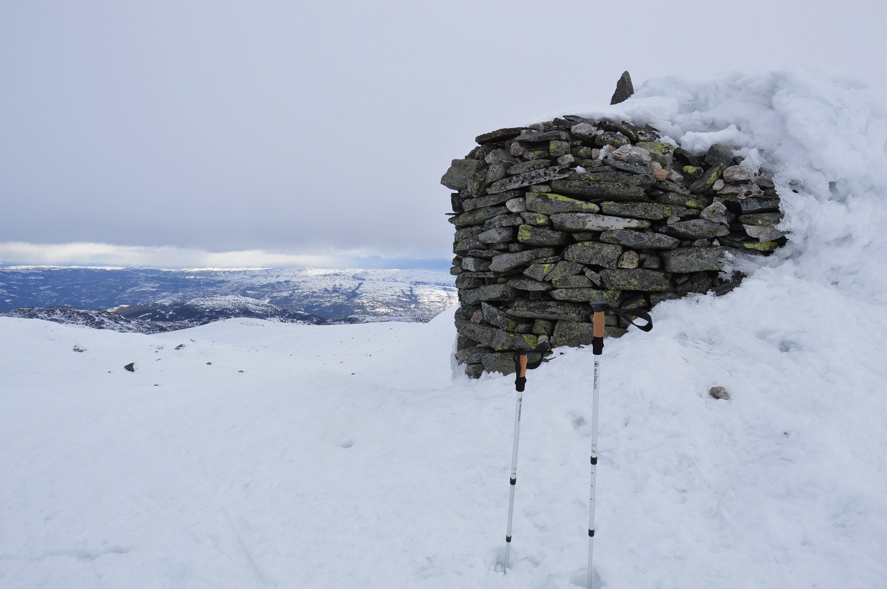
At the summit,
after 3h and with tired legs. It's windy up
here, but not as
bad
as yesterday. A large cairn marks the summit. |
Even if I am tired and
the wind it hard, I can enjoy the views up here. Here's a look
to the northeast.
|
|
|
|
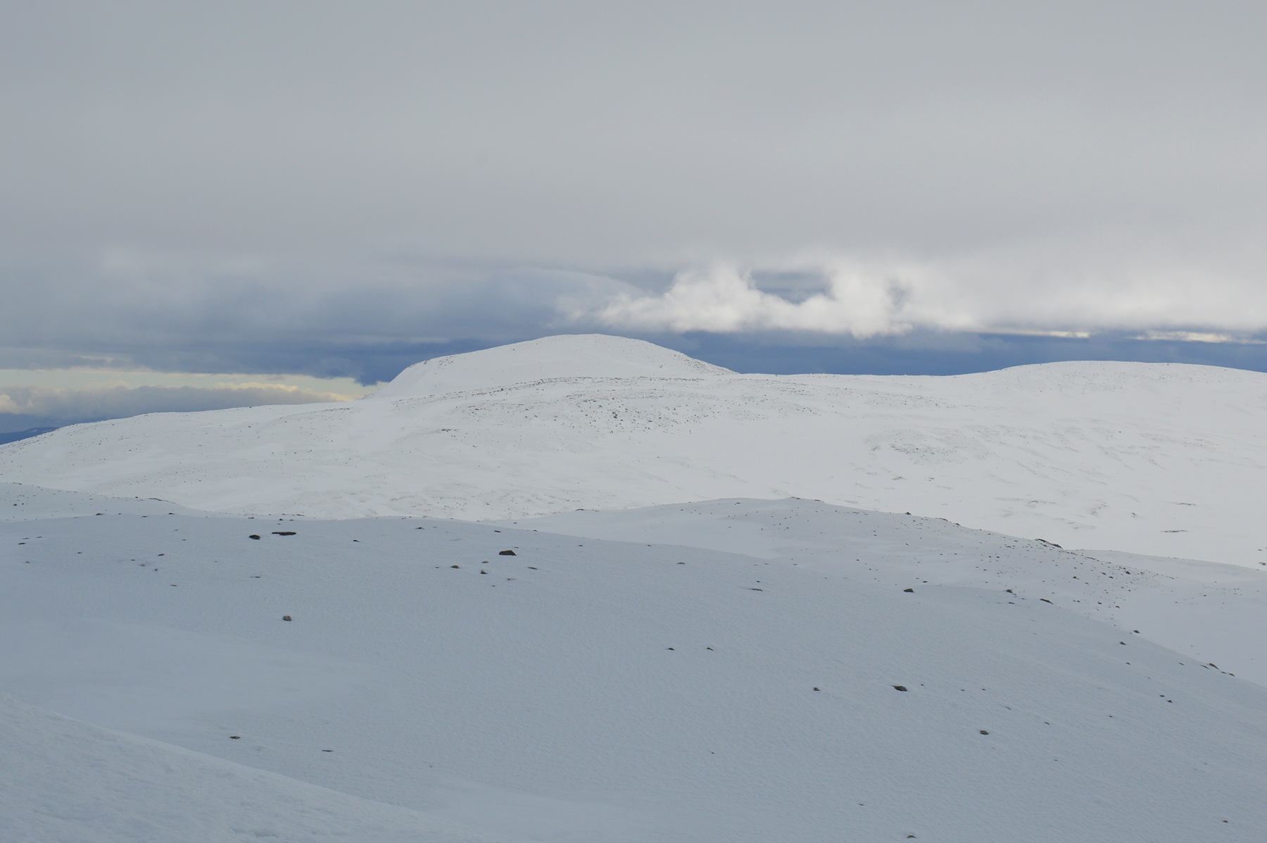
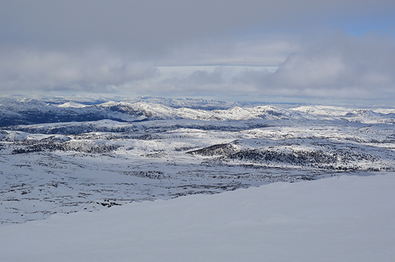
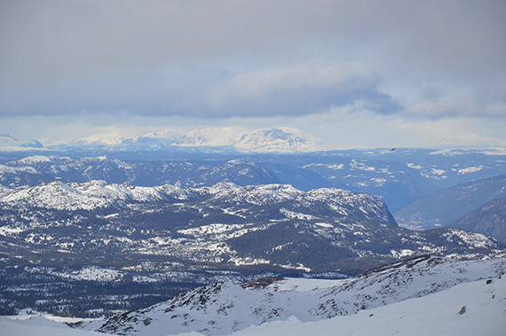
Zooming
in the mountins around Hemsedal, 80 km to the
north |
|
|