|
|

|
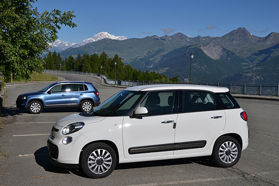
We park
at the cableway station in Pila, above Aosta.
Our rented Fiatdiesel is spacious and fun to drive. |
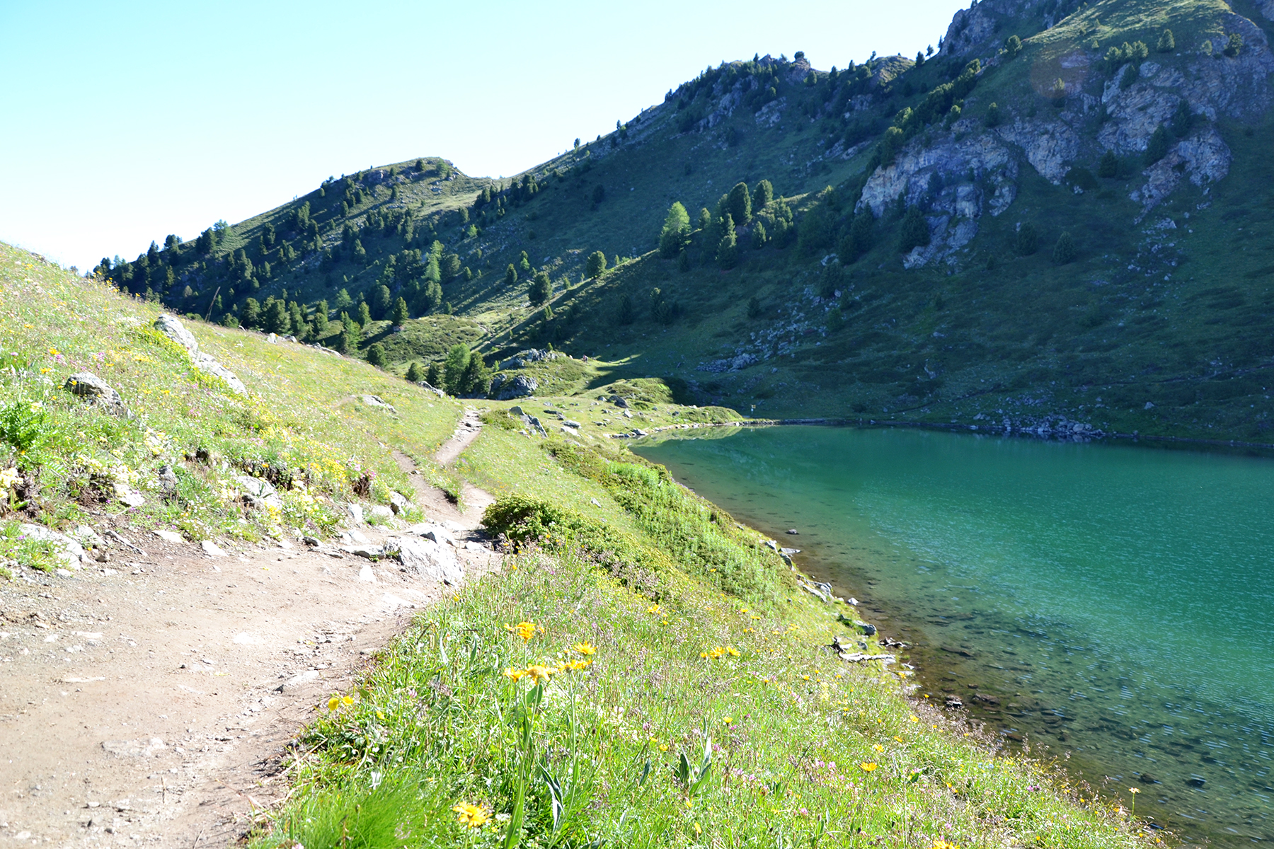
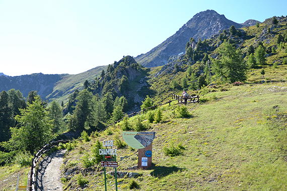
From
the upper cablewaystation at 2320m there is a broad path to
the lake Lago Chamolé. |
It takes jus a few minutes to
reach. A lot of people usually come here when the weather is good.
|

|

|
|
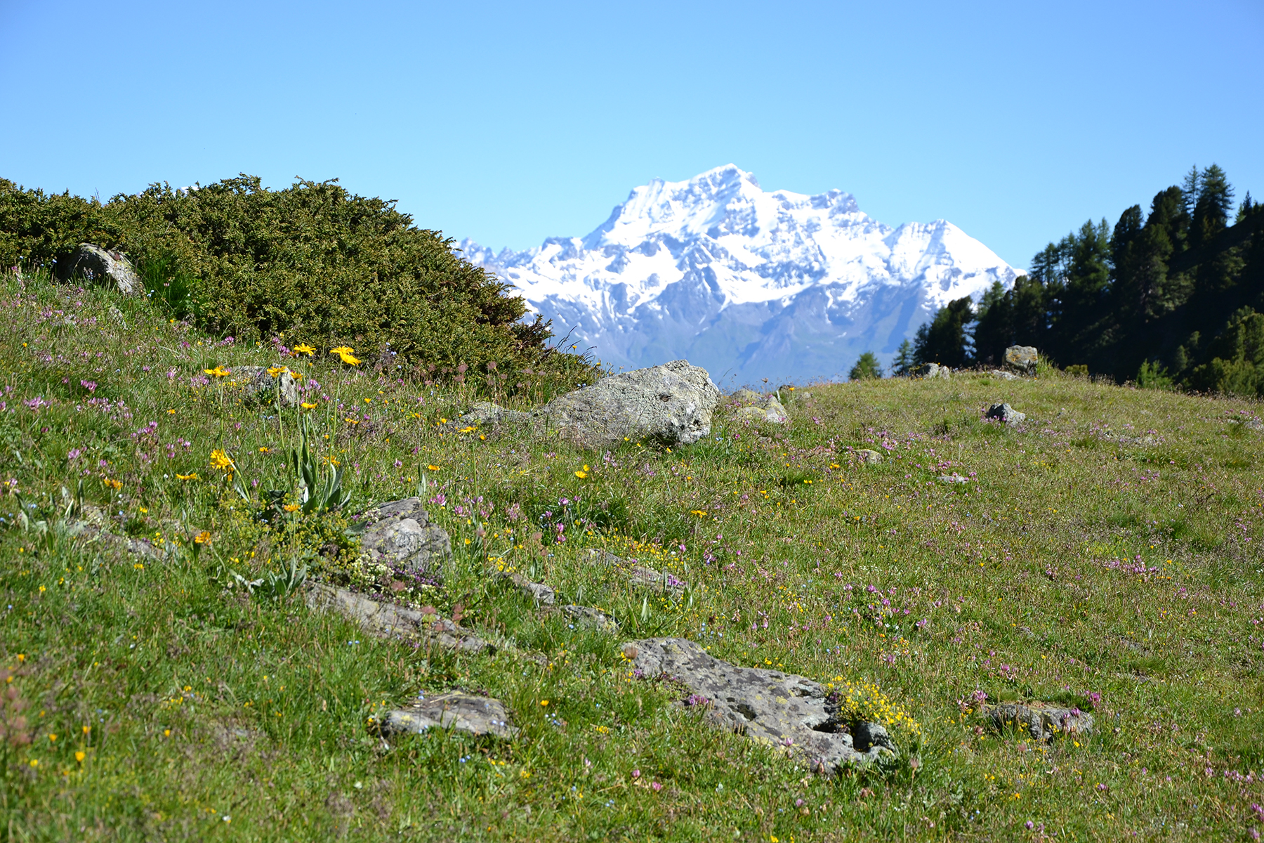
Grand
Combin, 4314m, behind the flowers around Lago
Chamolé. |
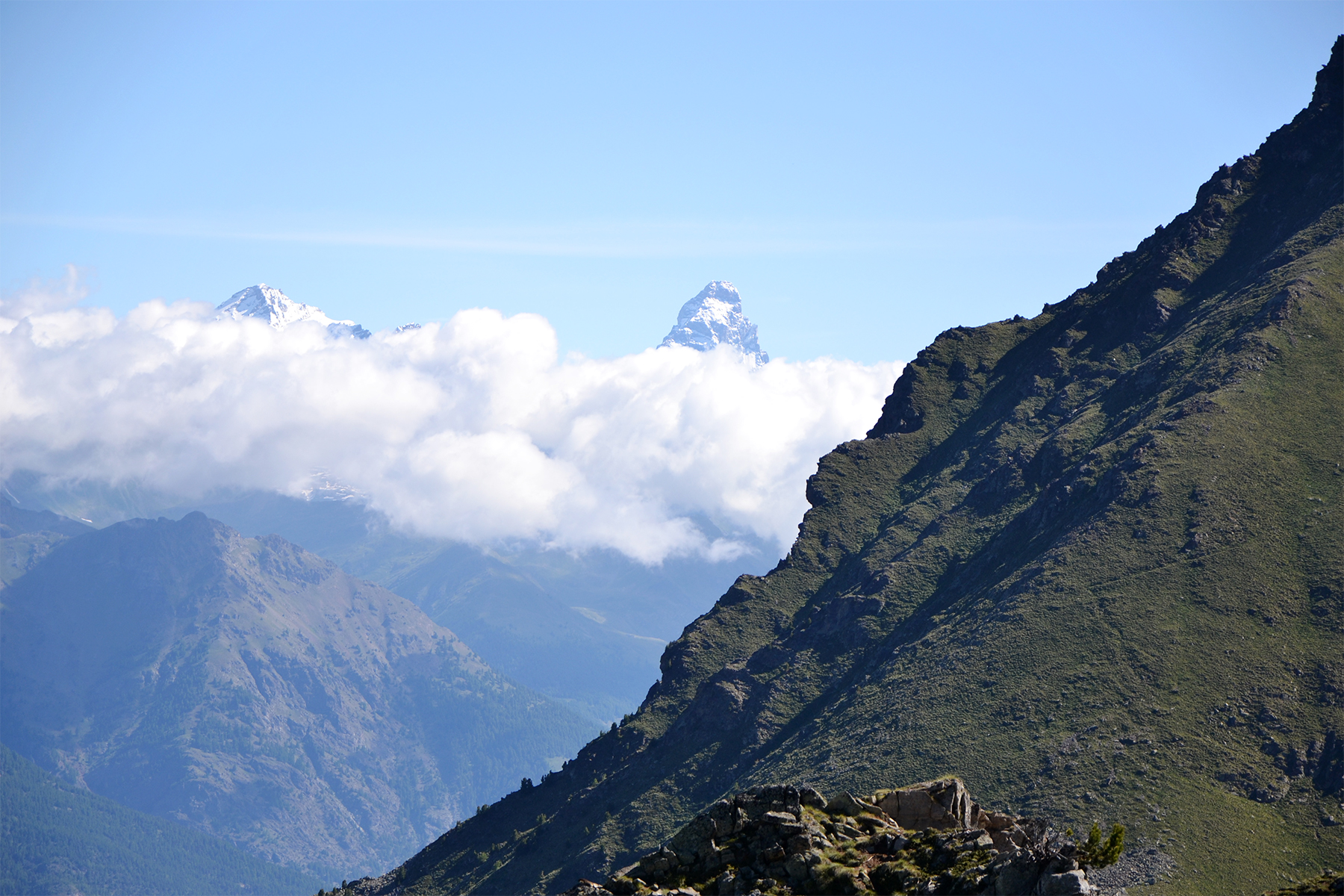
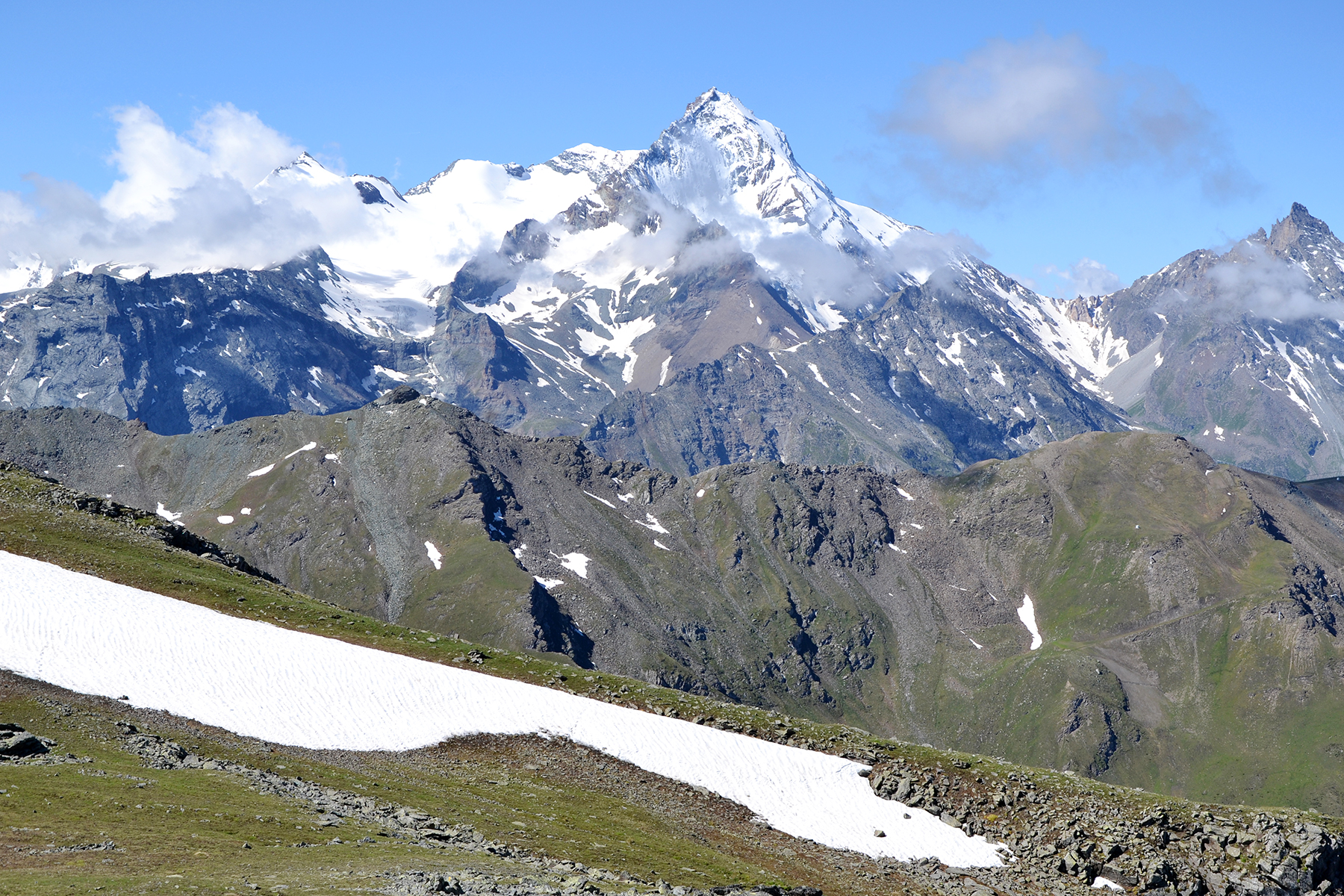
Matterhorn,
4478m, reaching above the clouds to the northeast. |
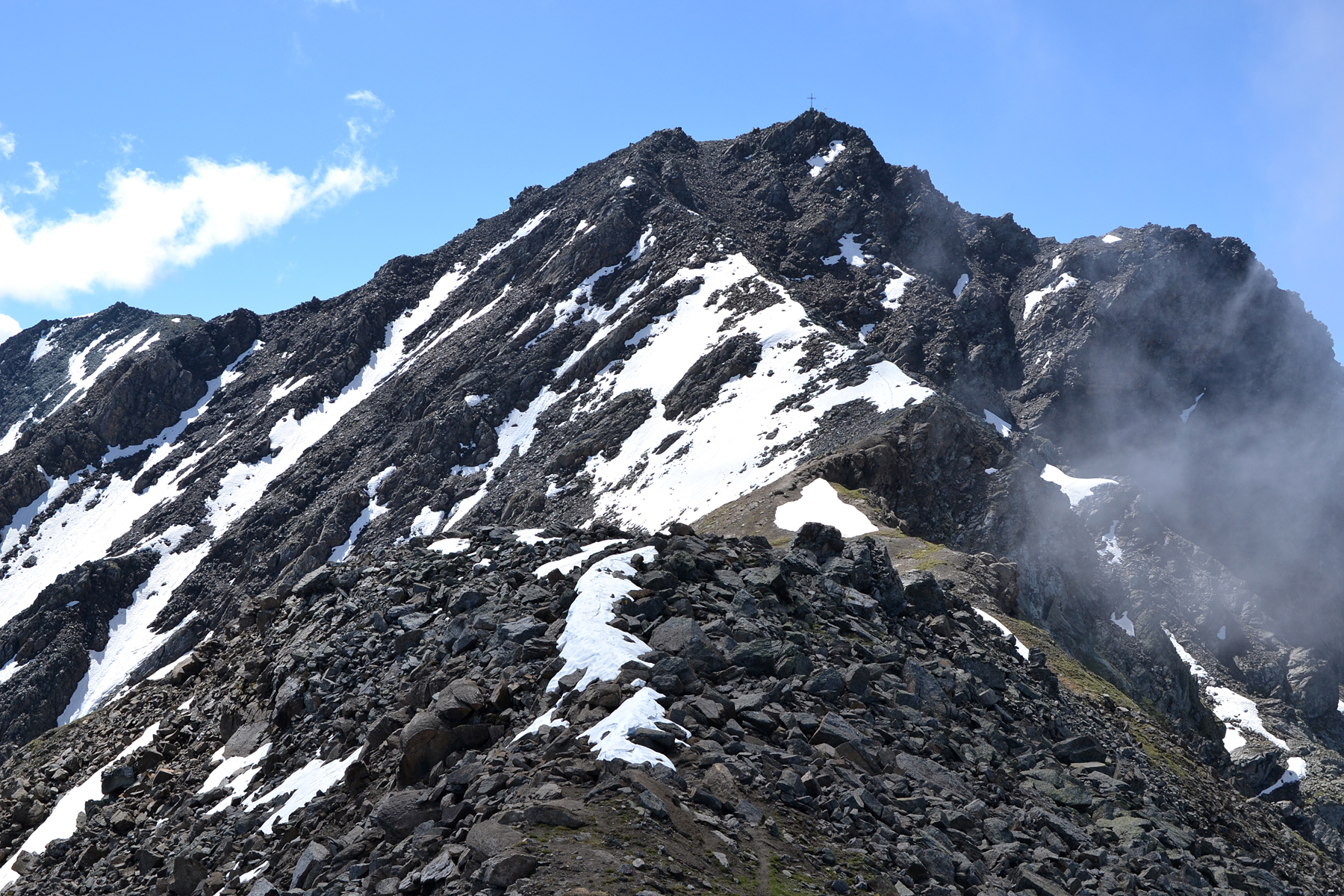
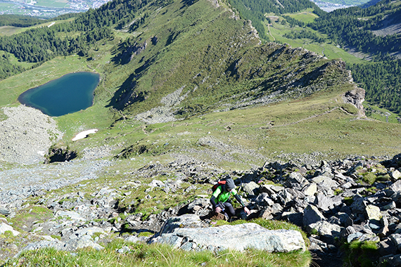
Climbing
from Lago Chamolé towards
our first summit, Testa Nera. If you choose this route the final climb
is a little steeper.
|
|
|

|
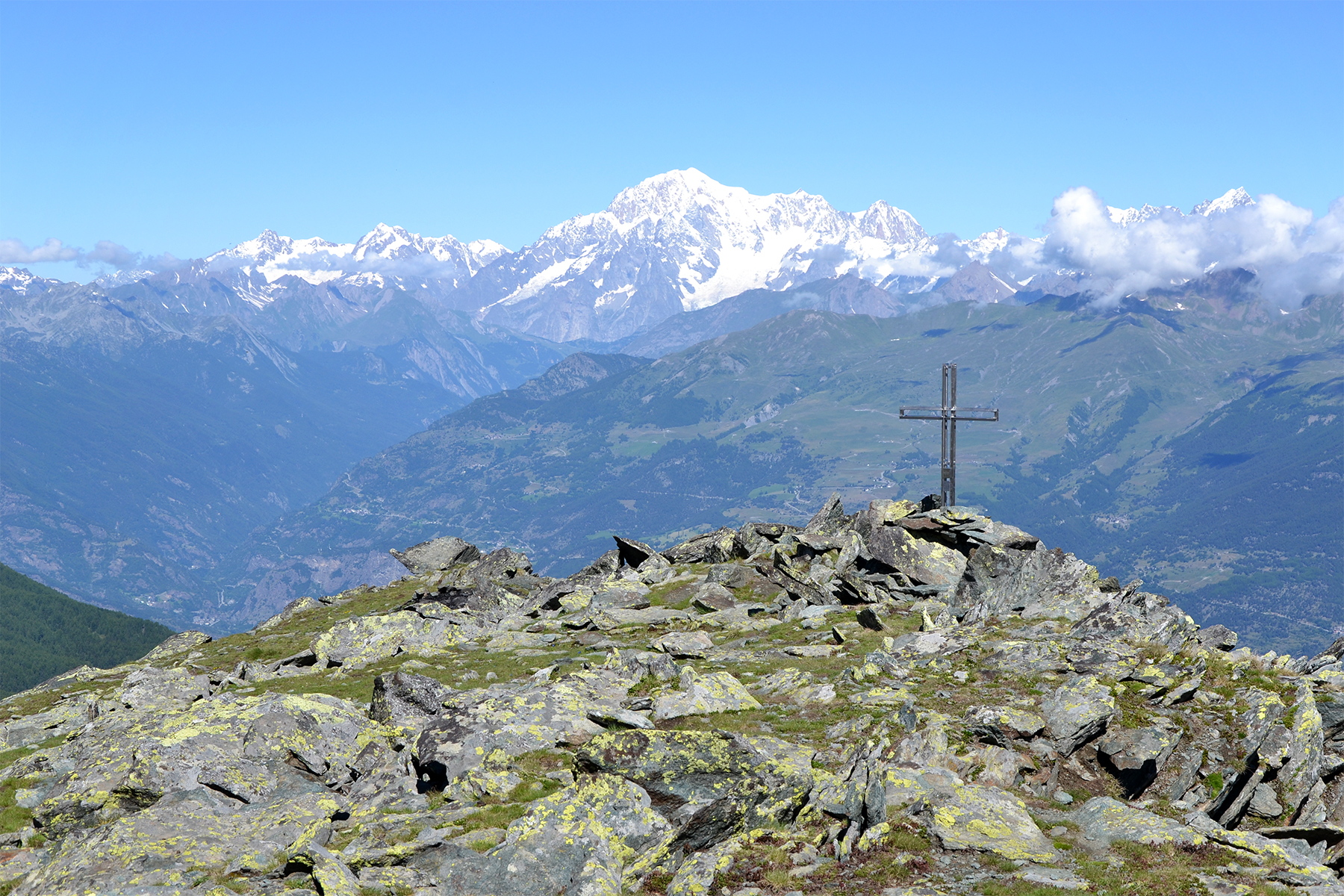
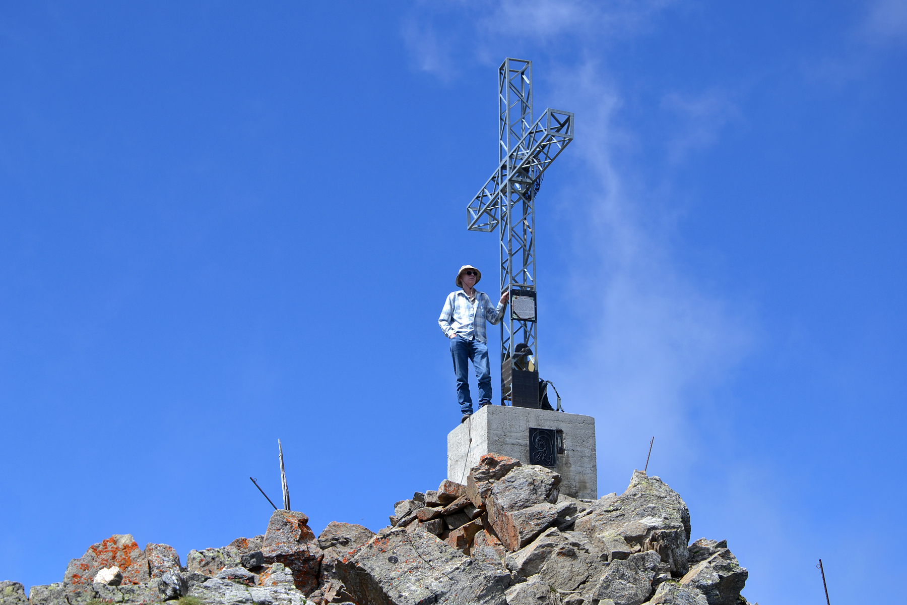
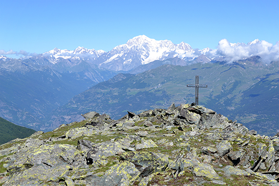
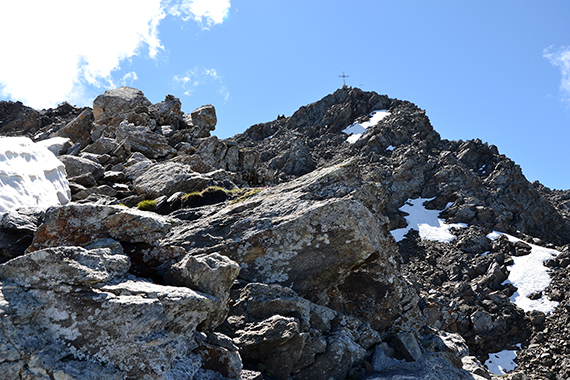
The
summit cross on Testa Nera with Mont Blanc in the
background. I climbed
up here one year ago, but couldn't
continue because of my home
flight, just a few hours later
that day. Now I can finish what I couln't that
day. |
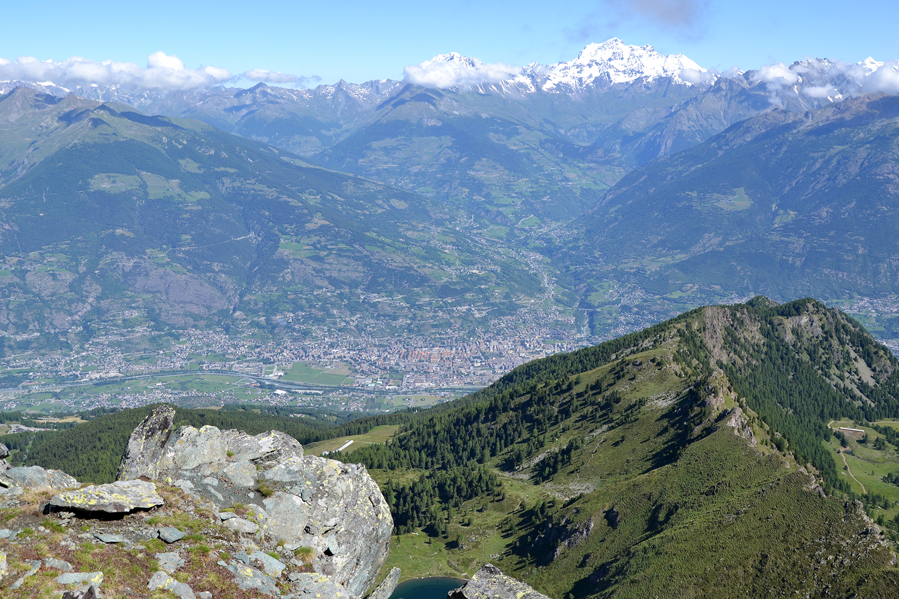
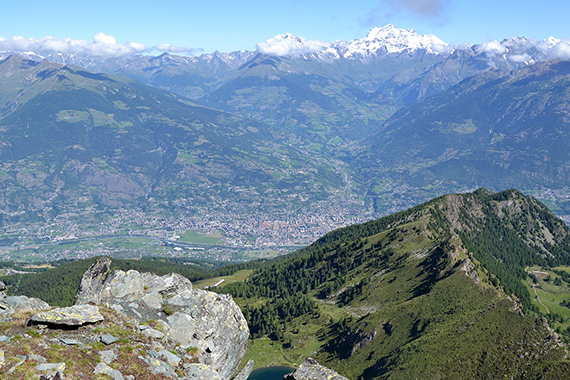
The
city of Aosta, more than 2200 altitude meters below. |
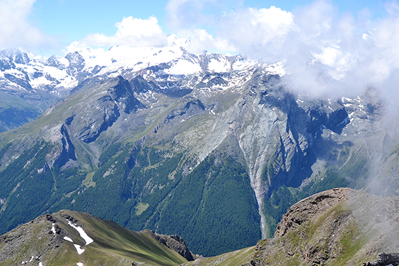
La Grivola, 3969m, to the west.
|

|

|

|
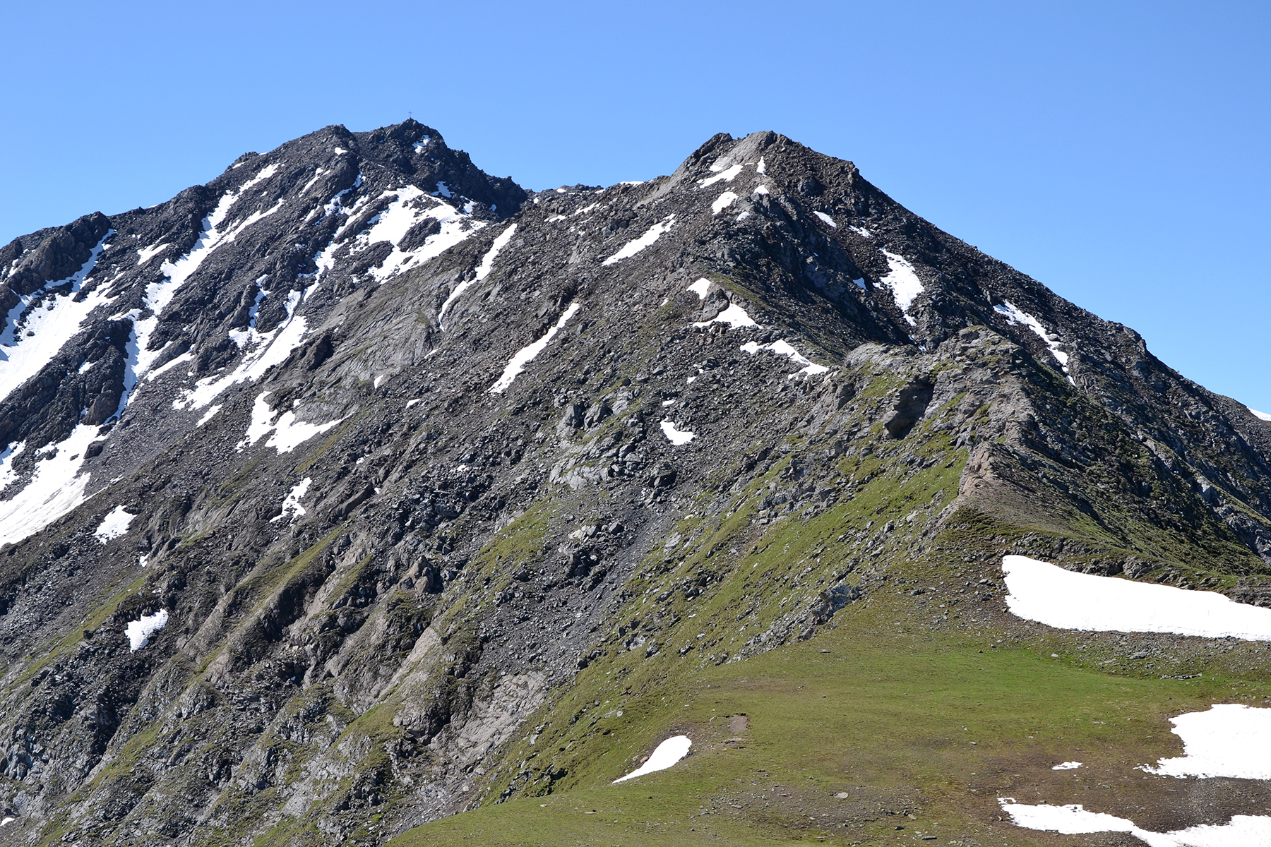
And this is our route
upwards. Monte Belleface a little to
the right, and the summit cross of Punta
della Valletta to
the left. |
Dante
on the summit of Monte Belleface. |
From
here it's just a little more than half an hour to Punta della
Valletta.
|
|

|
|
Almost
at the summit. Here and there it's a bit airy, but
still it's a fairly
easy summit to climb. |
The
summit cross of Punta della Valletta. |
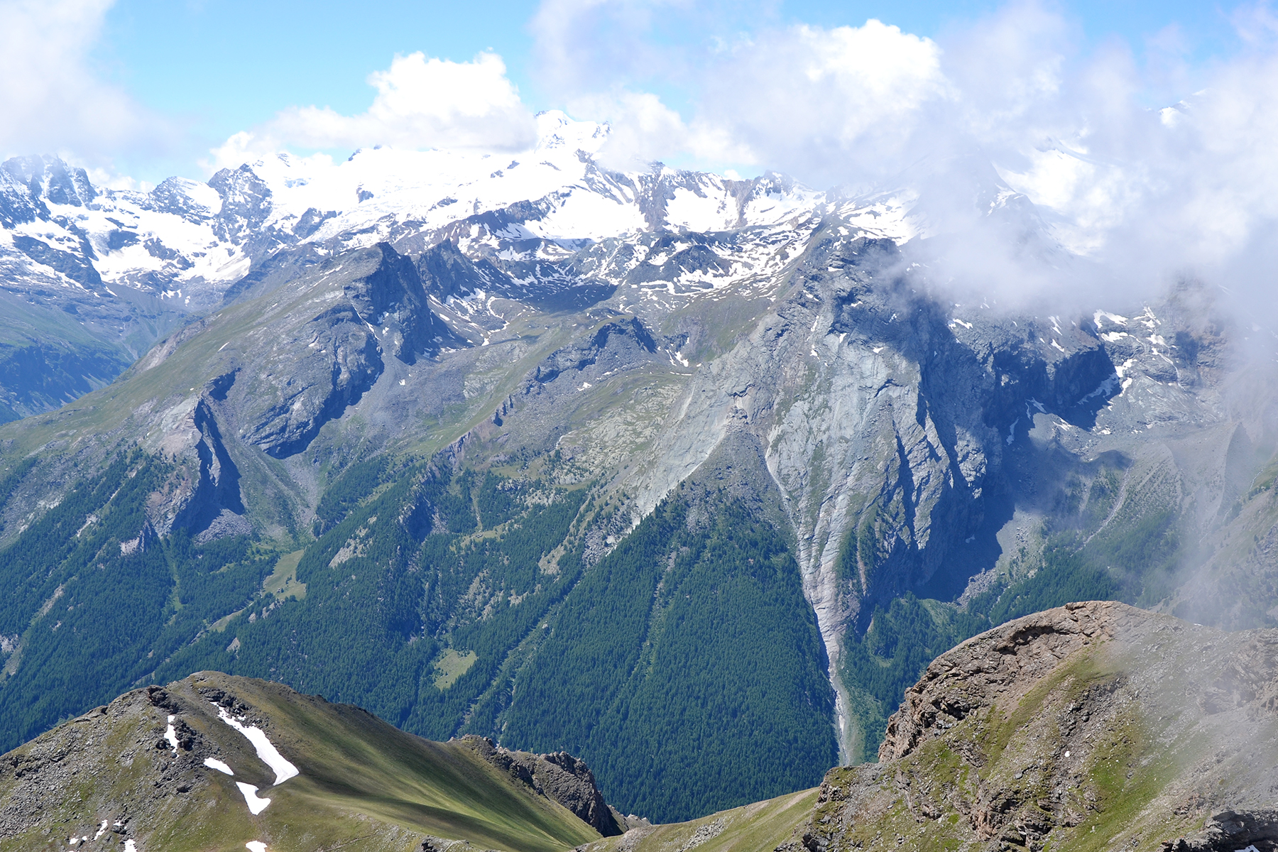
Gran
Paradiso, 4061m, to the southwest.
|
 |
|
|
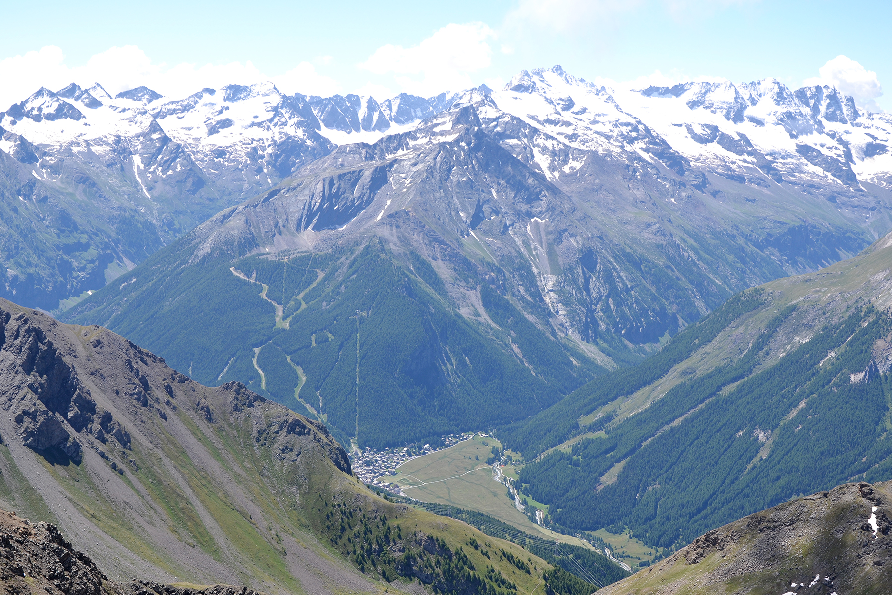
| The village Cogne
down in the
valley. |
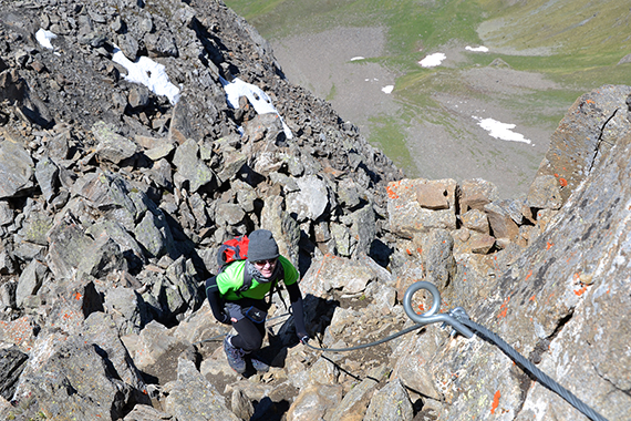
We
take the time to test the via ferrata that reaches the summit from the
south. It seemes nice to climb.
|
|