|
|
|
This
is my last day in the alps for this time. In just a few
hours I will
take a plane from Munich to Sweden. My
choice is to stay on the way
back in the Bavarian Alps.
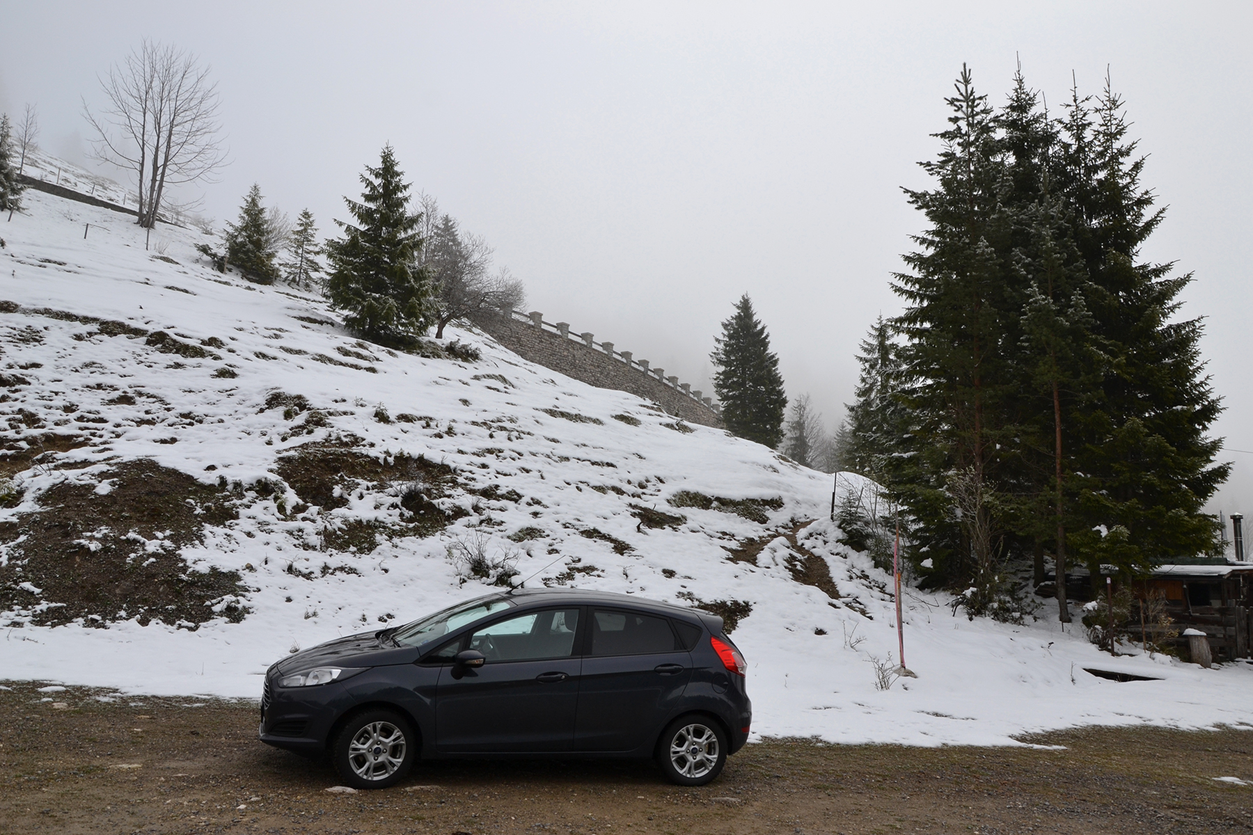
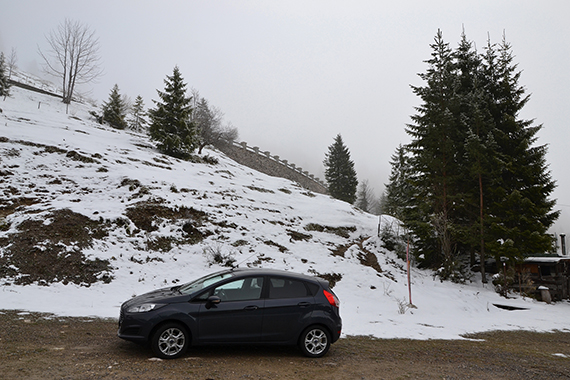
And
this might be exciting! I park the car in clouds at
1030m, along the
road between Oberaudorf and
Bayrischzell. This can be a
beautiful passage though
the clouds. |
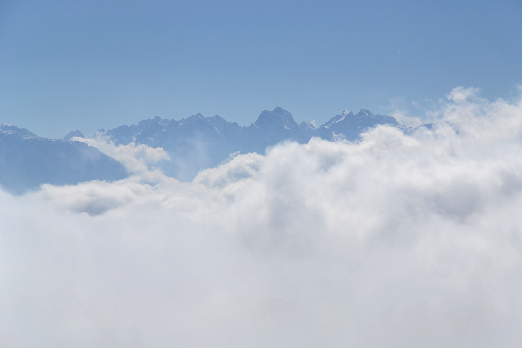
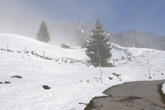
Oh yes.
Just some 15 minutes later it starts to clear up
above me. |
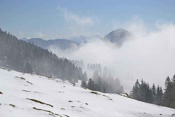
After
another 15 minutes it looks like this.
Climbing up above the clouds usually is magical. This is more
than magical...
|

|

|

|
|
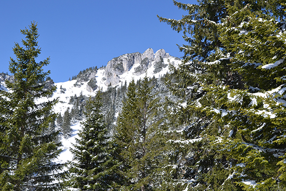
Kaiser
gebirge. |
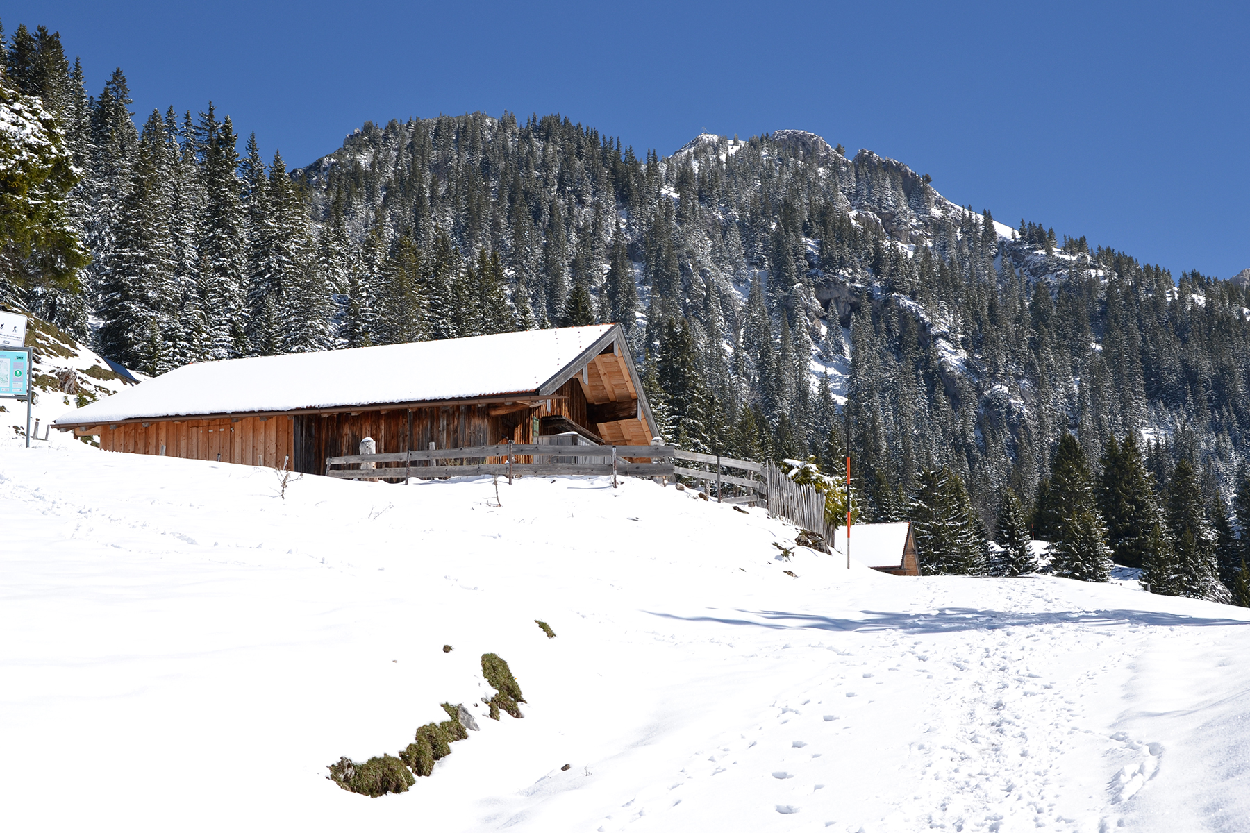
Up
to1450m the
route is easy,
following a small road.
After that a trail leads on, sometimes a bit
steep. But
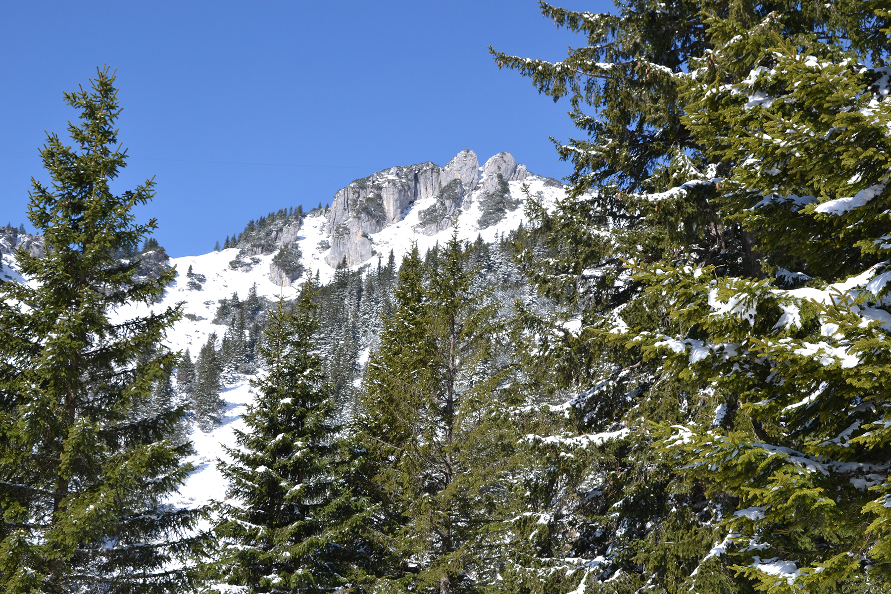
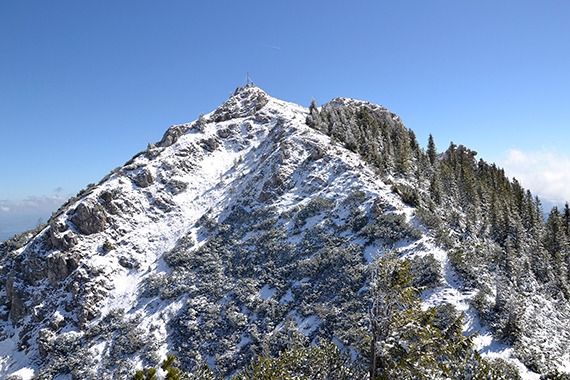
there are no real problems. My first objective, Wildalpjoch,
is in the background. |
Going
up the trail.
|
|
|

|
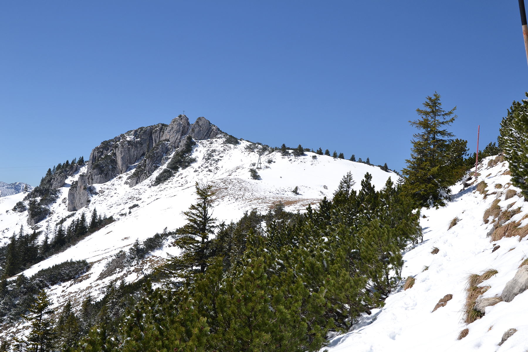
| A
little higher, my second objective Lacherspitz appears. |
The final climb to Wildalpjoch
isn't complicated, but a little steep at some places. |
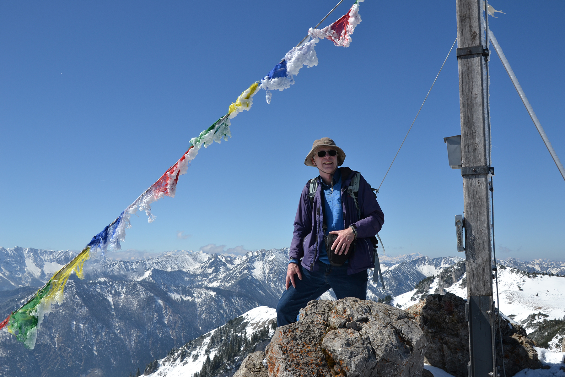
Today
I'm not alone up here. Two germans
help me with a summit picture.
|
|

|
|
|
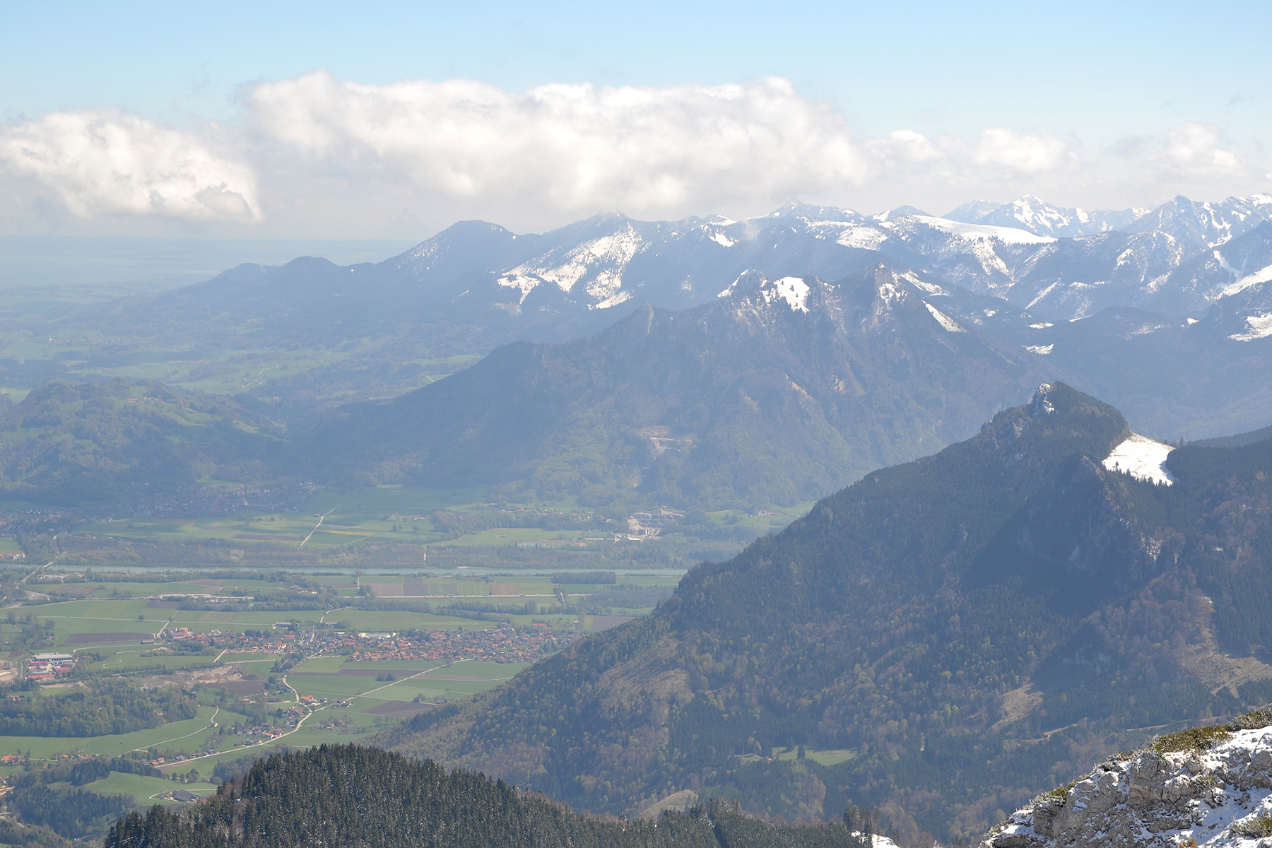
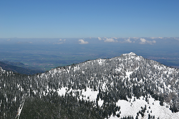
To the north are the German
flatlands. |
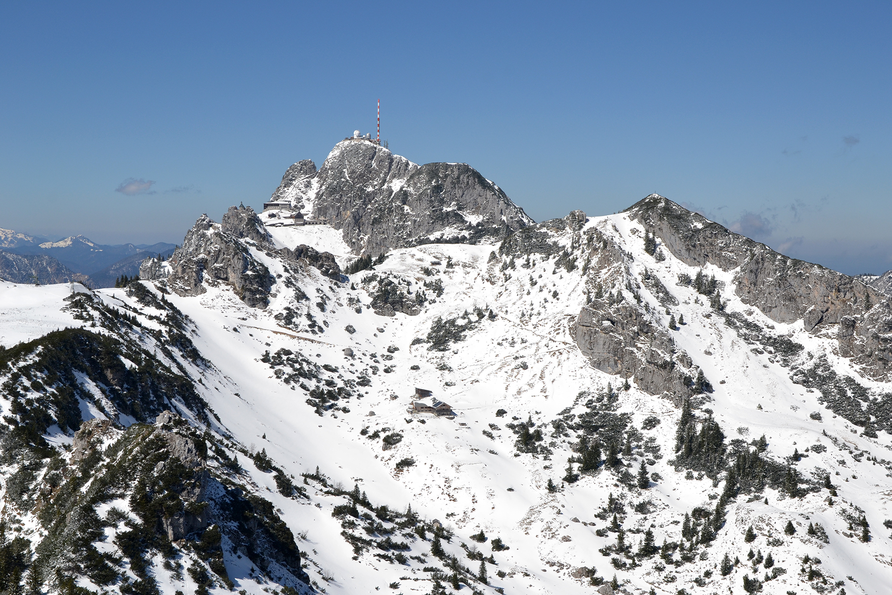
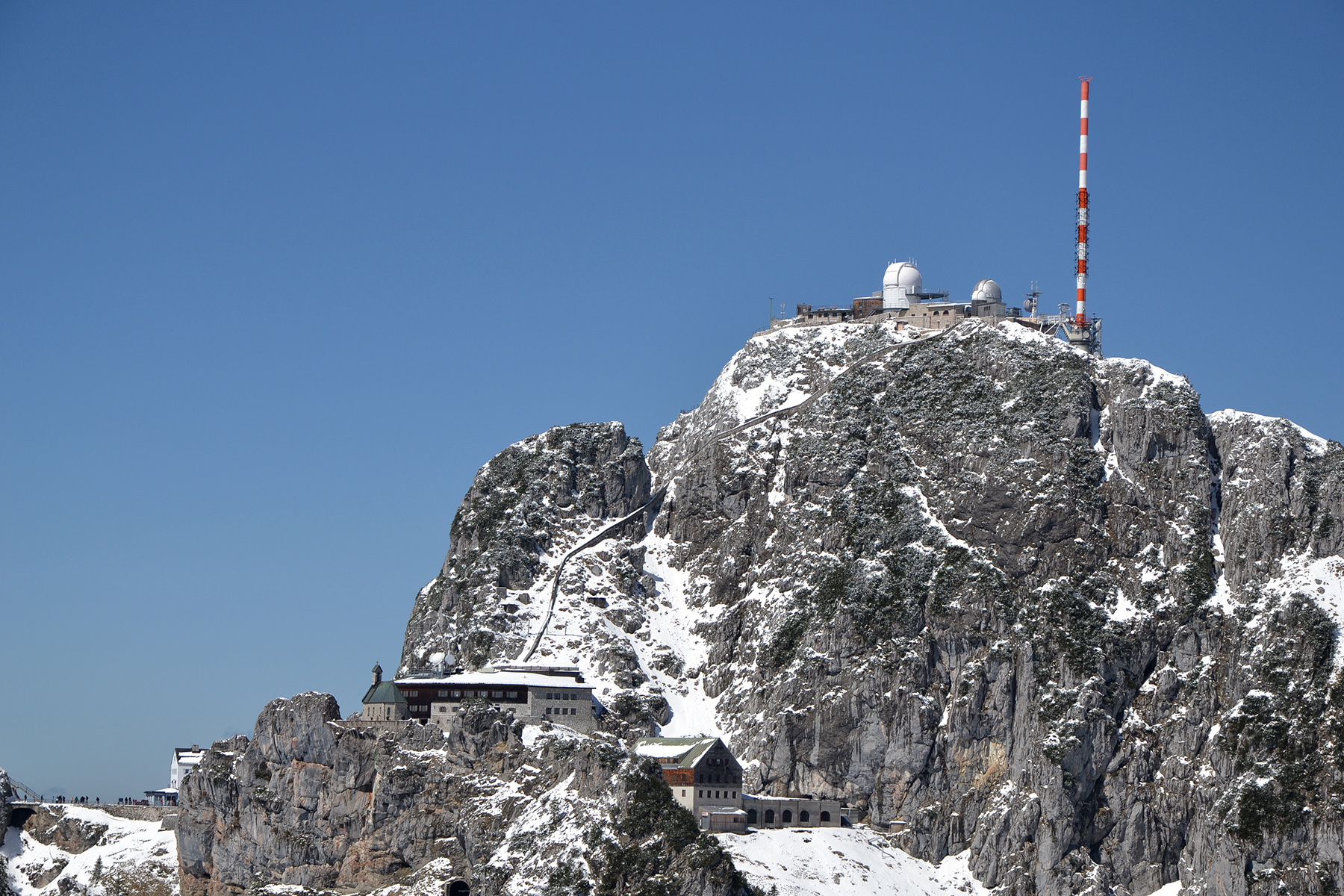
Close
by, Wendelstein 1838m, with lift, observatory and
even a small chapel. |
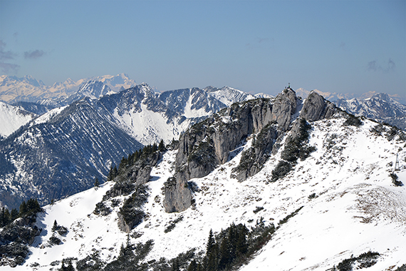
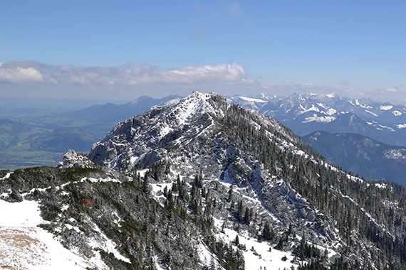
Lachenspitz
as it looks
from Wildalpjoch. Far in the background is Zugspitze.
|

|

|
|
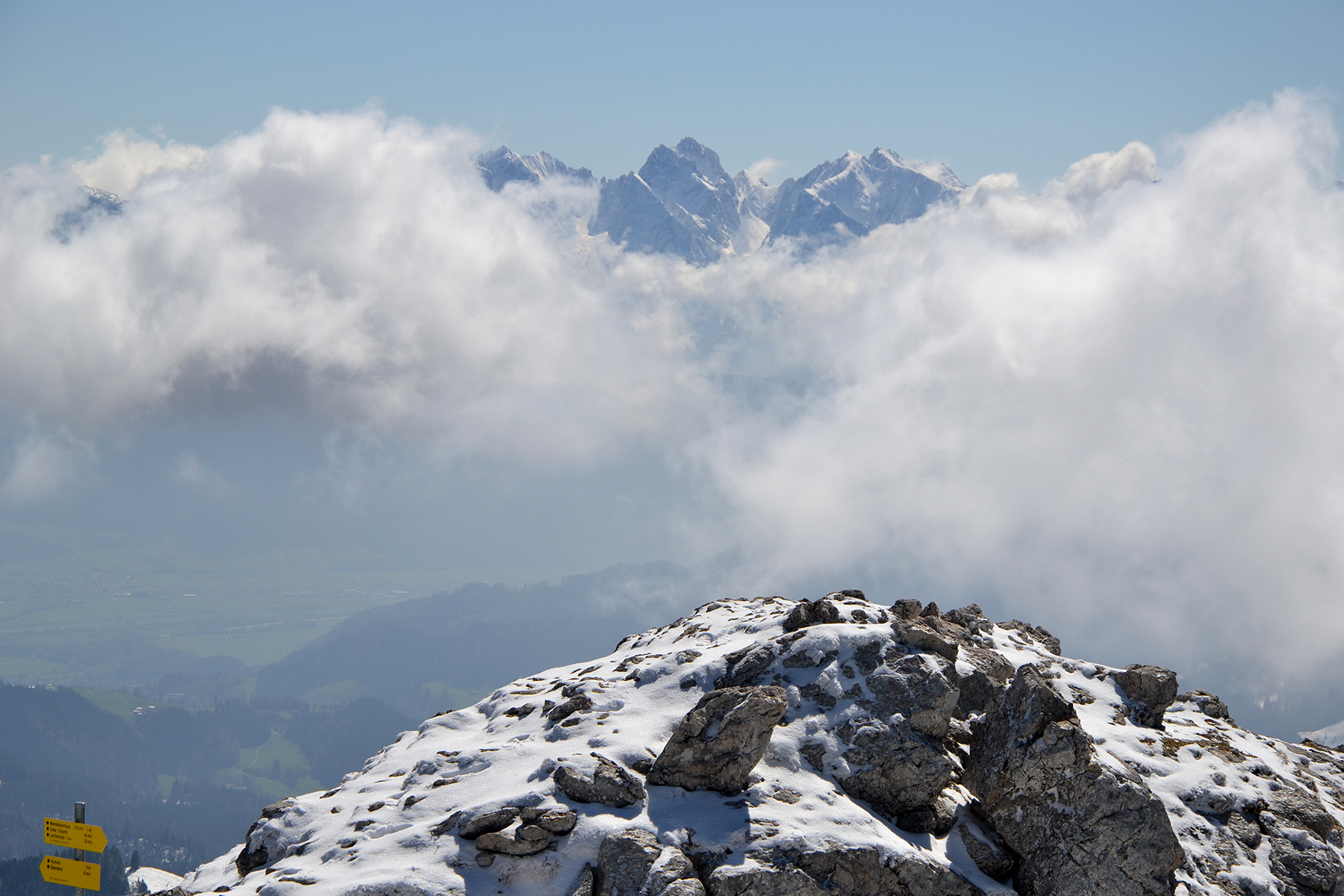
This is
a perfect finish of some perfect days in the Alps.
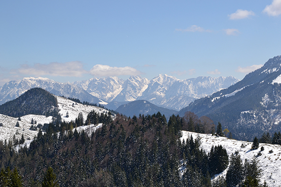
Here are Kaiser
Gebirge. |
To the
east, Inntal at the borderline between the Alps and
the flatland. |
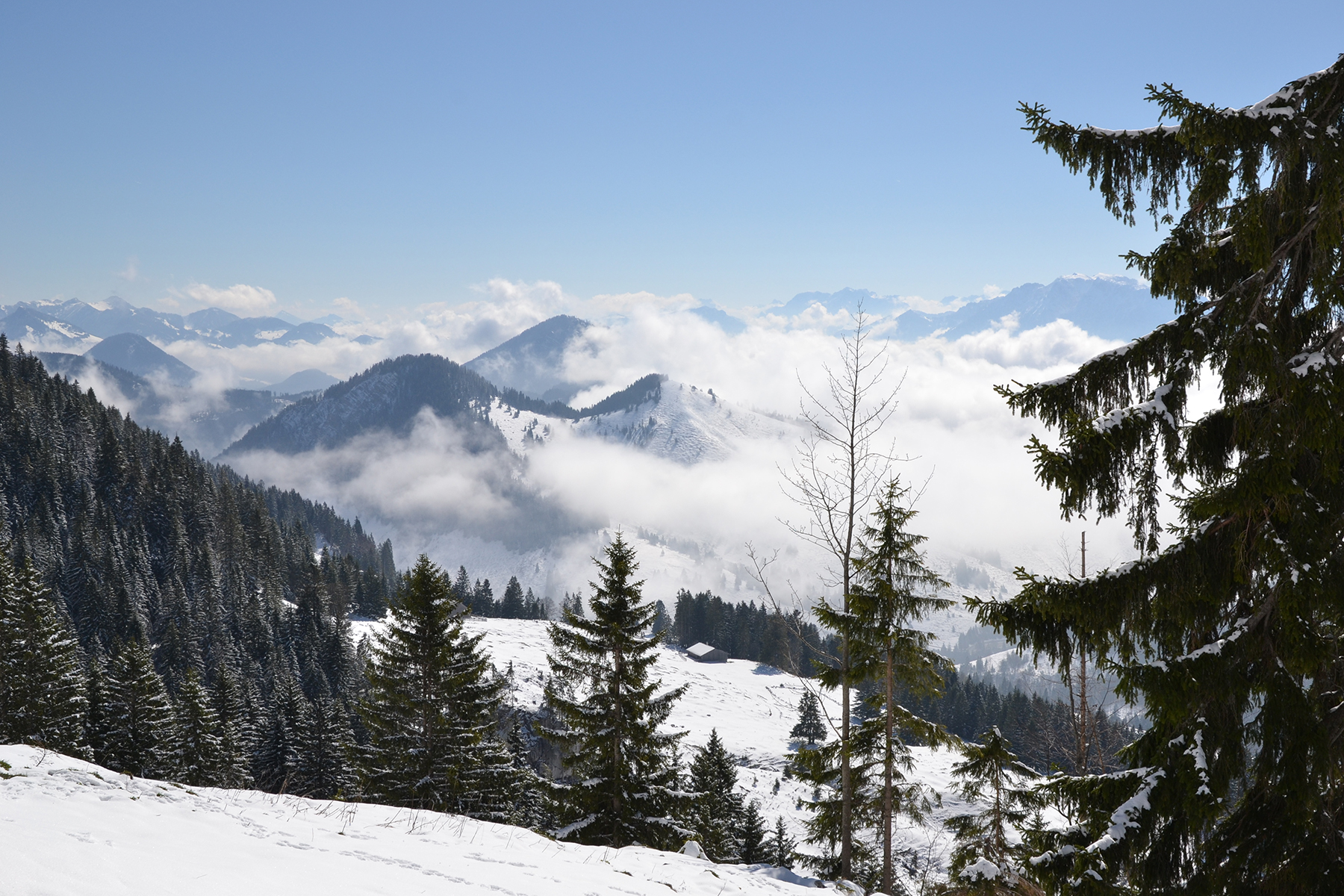
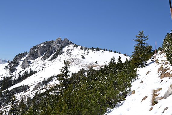
The
route continues towards Lacherspitz.
|
 |
|
|
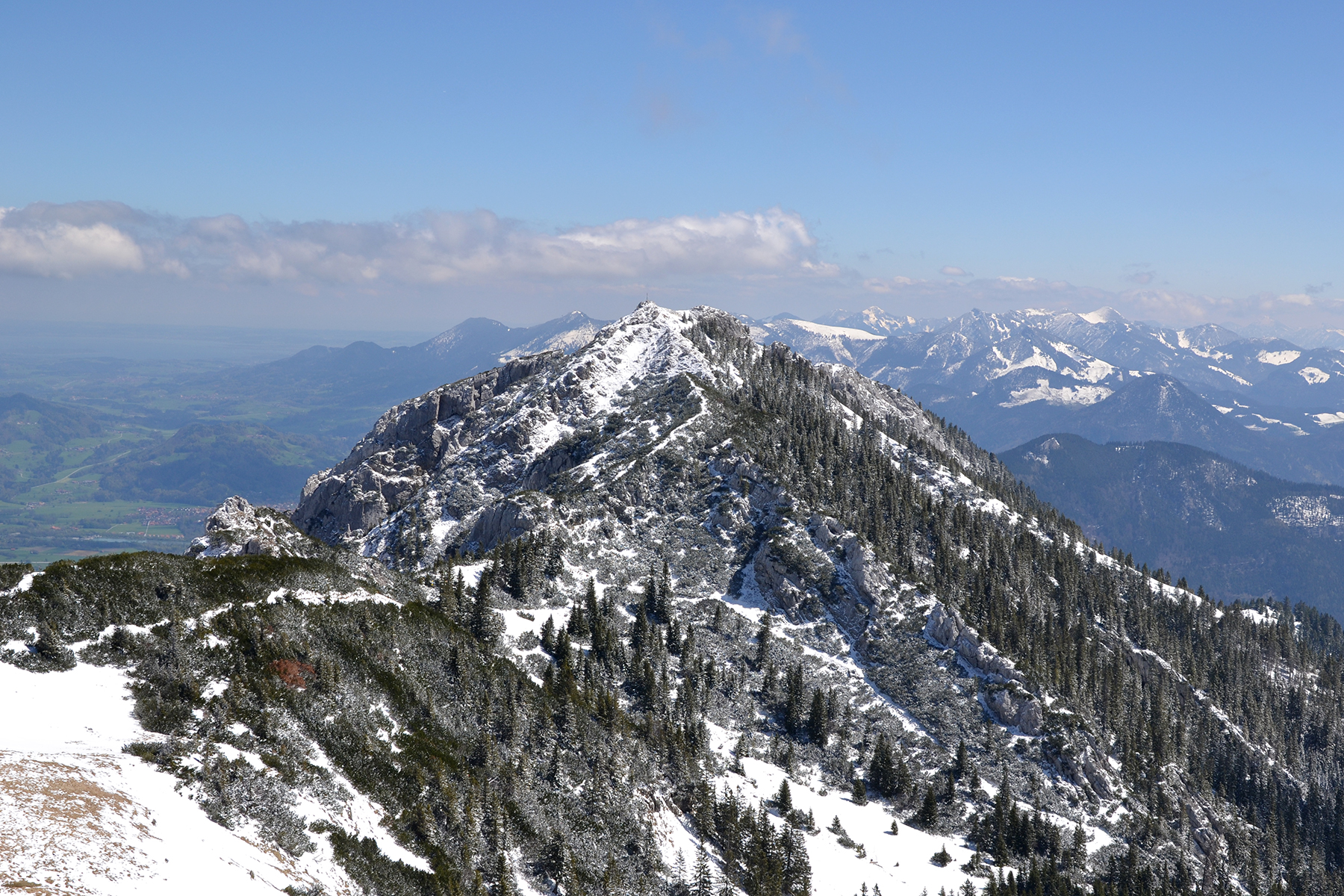
There
is some easy scrambling in the final parts towards
the summit, but no
real difficulties. Here is Wendelstein,
seen from
Lacherspitz. |
And
here's a look back to Wildalpjoch.
|
On my
way down again. One final picture towards Kaiser Gebirge.
|