
|
|
|
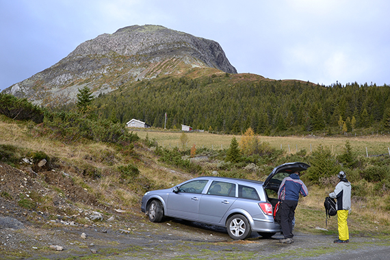
The
road towards Rundemellen begins about 10km north
of Fagernes (payroad 50
Nkr). Here's the mountain just
short of the parking place,
with Kalvemellen to the left
|
We
park the car at 970m, close to Turrsjøen south of the
mountain.
Only 380 altitude meters makes this peak very accessible. |
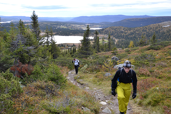
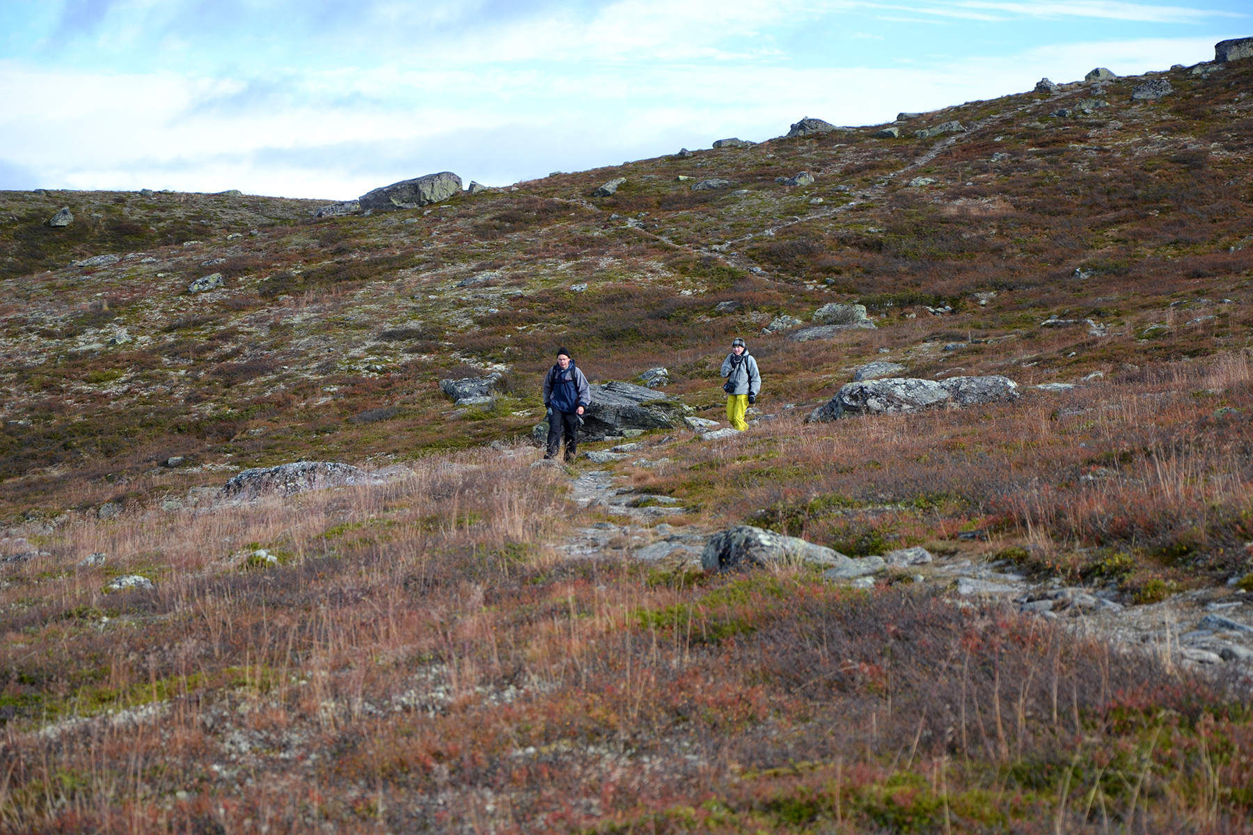
Peter
and Dante going up. The forest ends at 1100m.
|

|

|

|
|
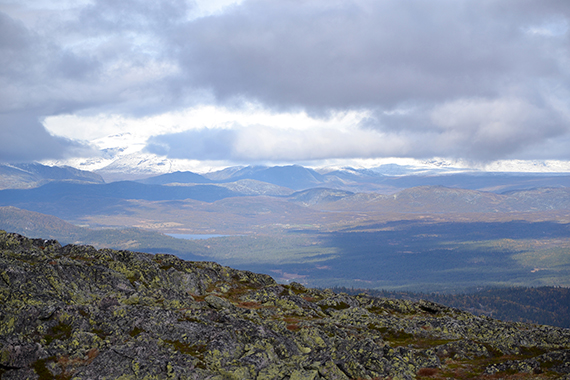
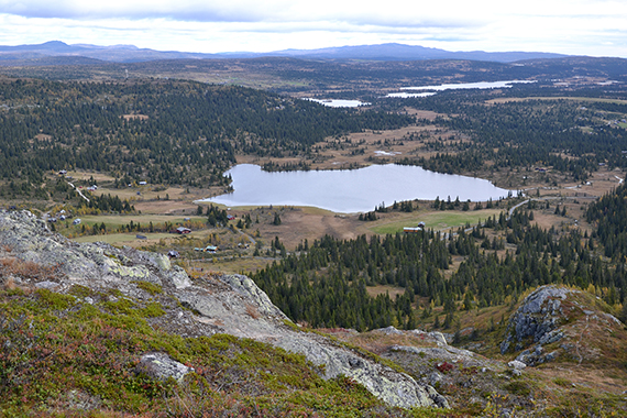
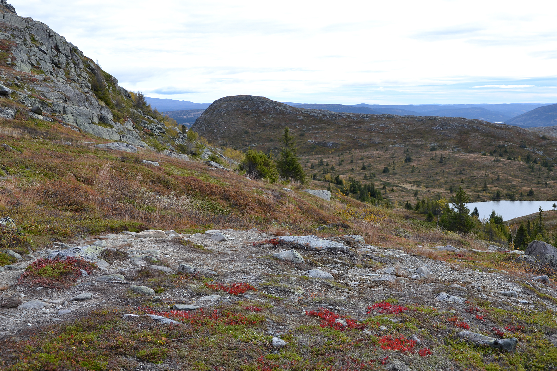
A view
to the south from 1100m. |
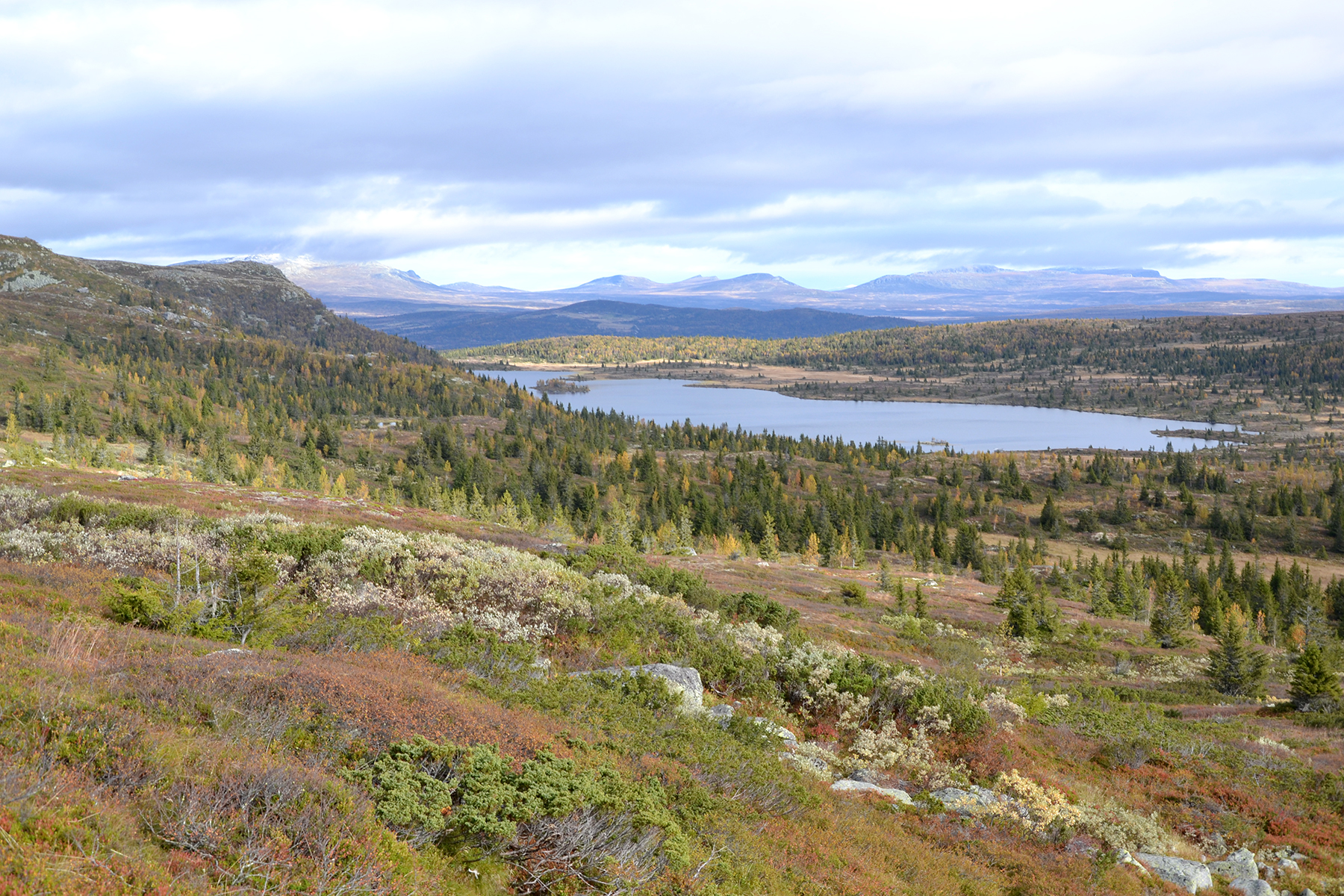
The lake Rabbalsvatnet to the northeast. |
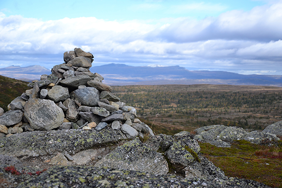
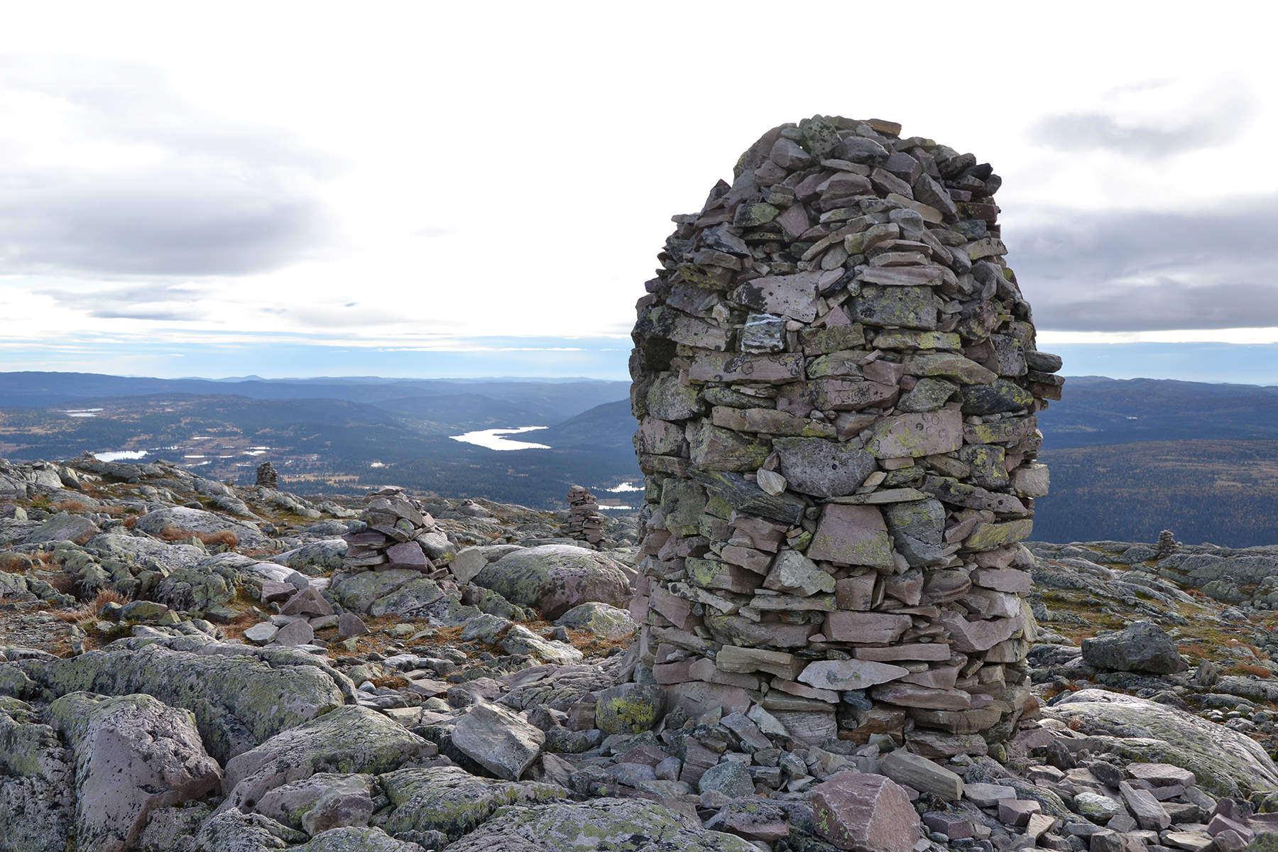
The
climb to the summit is on the northern side of the mountain,
technically easy. A large cairn on the summit.
|

|
|

|
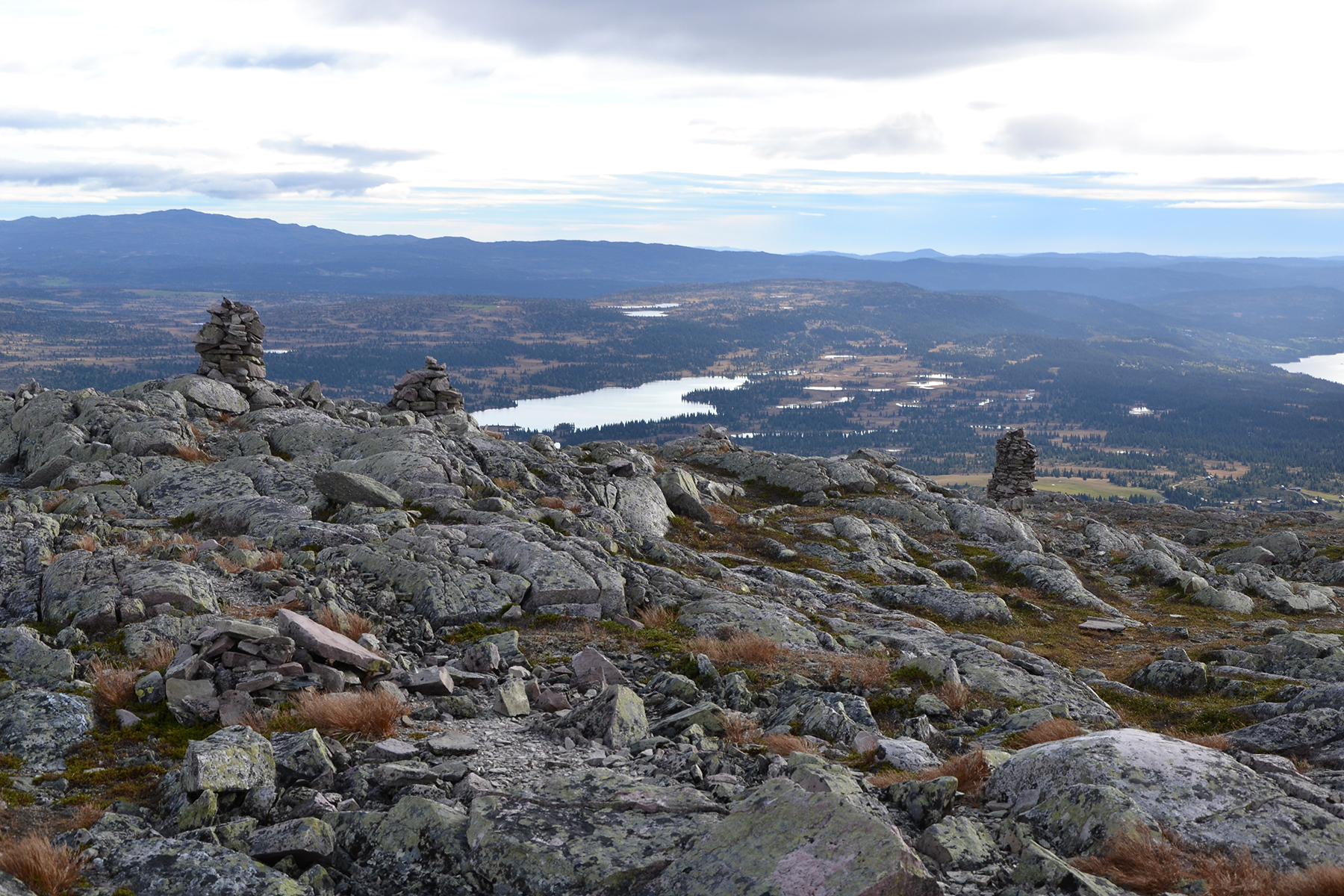
To the south, a few smaller
cairns in front
of the steeper
cliffs. |
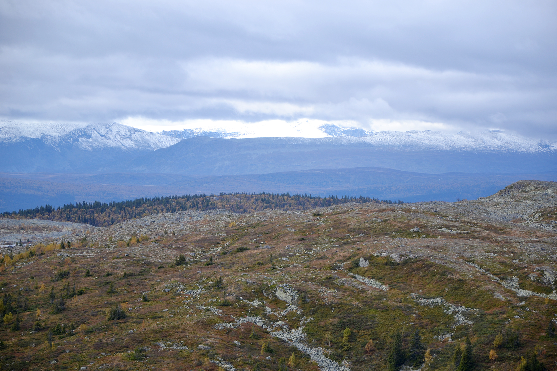
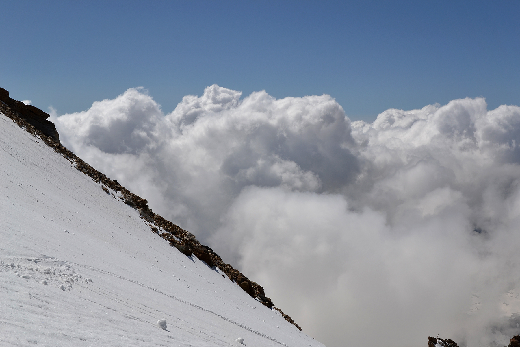
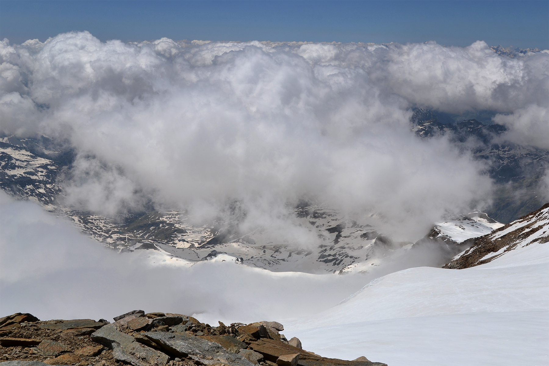
To the north, some of the higher peaks
of Jotunheimen
can be seen between the clouds. |
Now we
are descending again.
After reaching the mountain from the eastern side we go back to
the west, making a full lap around Rundemellen.
|

|
|

|
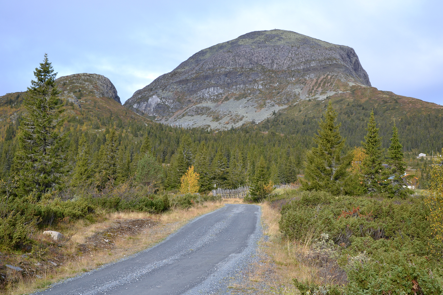
Eventually,
Kalvemellen turns up ahead. Being there, close
to us, makes it easy to
climb. With only 80 altitude meters
extra, it's an easy task. |
The
summit cairn on Kalvemellen. From the ridge we can follow a trail,
leading us all the way down to the car again. |
The Hemsedal mountains to
the west.
|
|
|
|
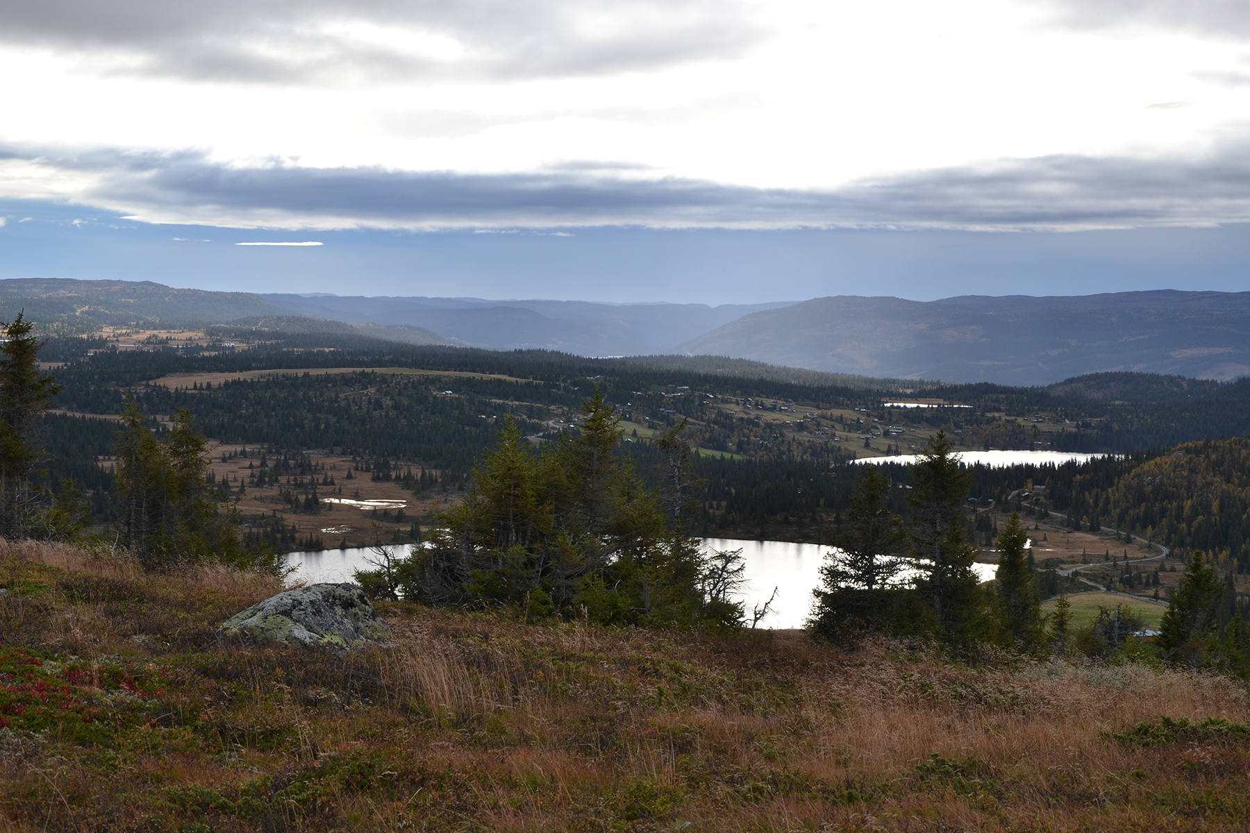
| Looking
south, Turrsjøen and the parking place ahead of it. |
|
|


