|
|

|
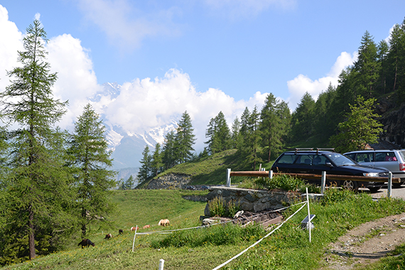
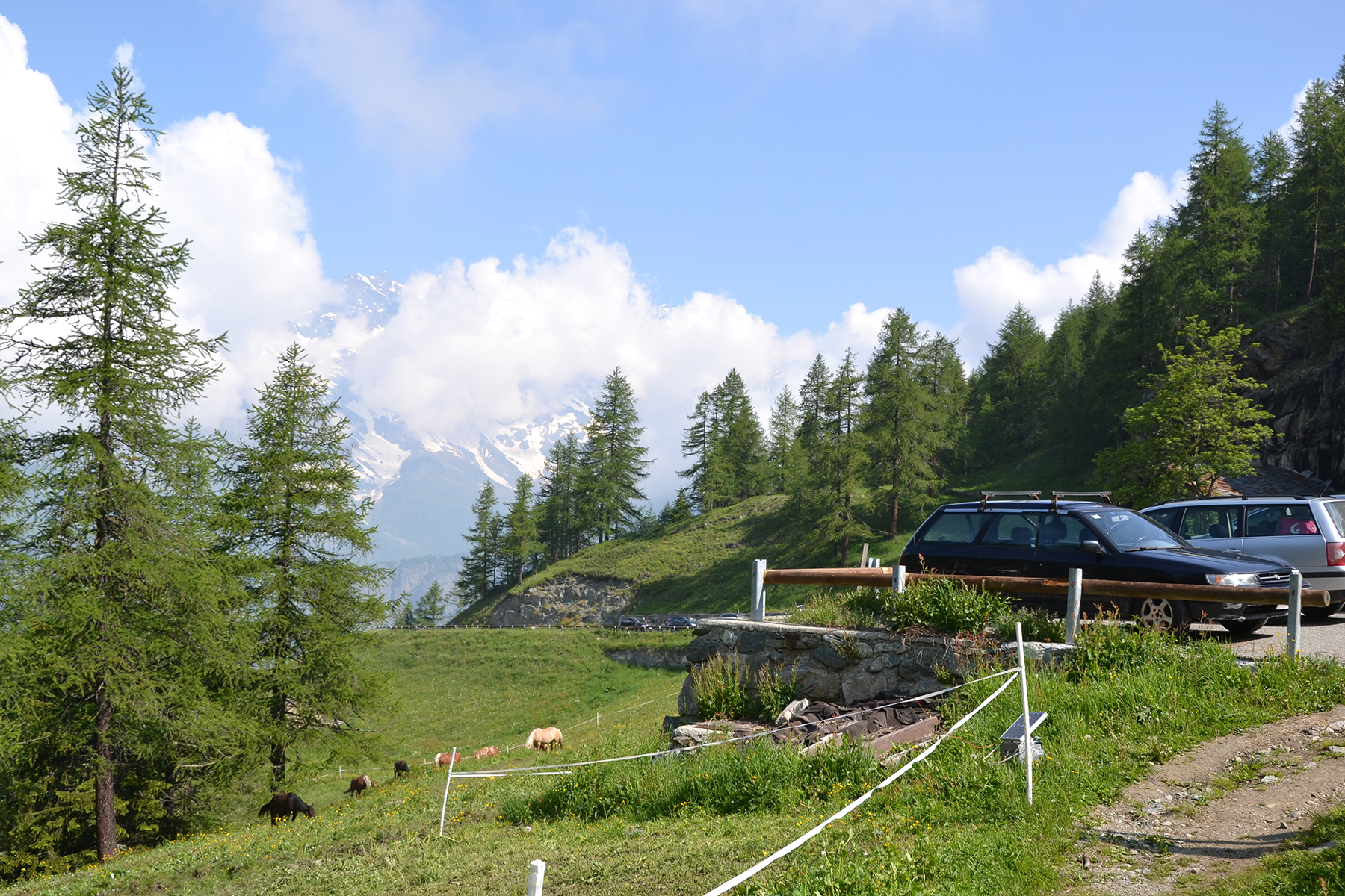
You
can go by car from Valtournanche to a parking place
on 2025m.
Just follow the signs to Cheneil.
|
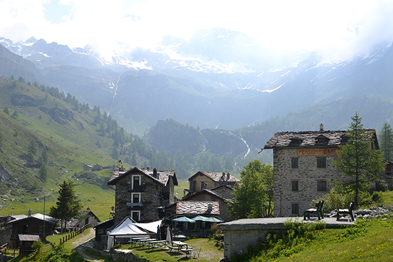
From
here it a 10min walk to the small village Cheneil,
only accessible on foot. |
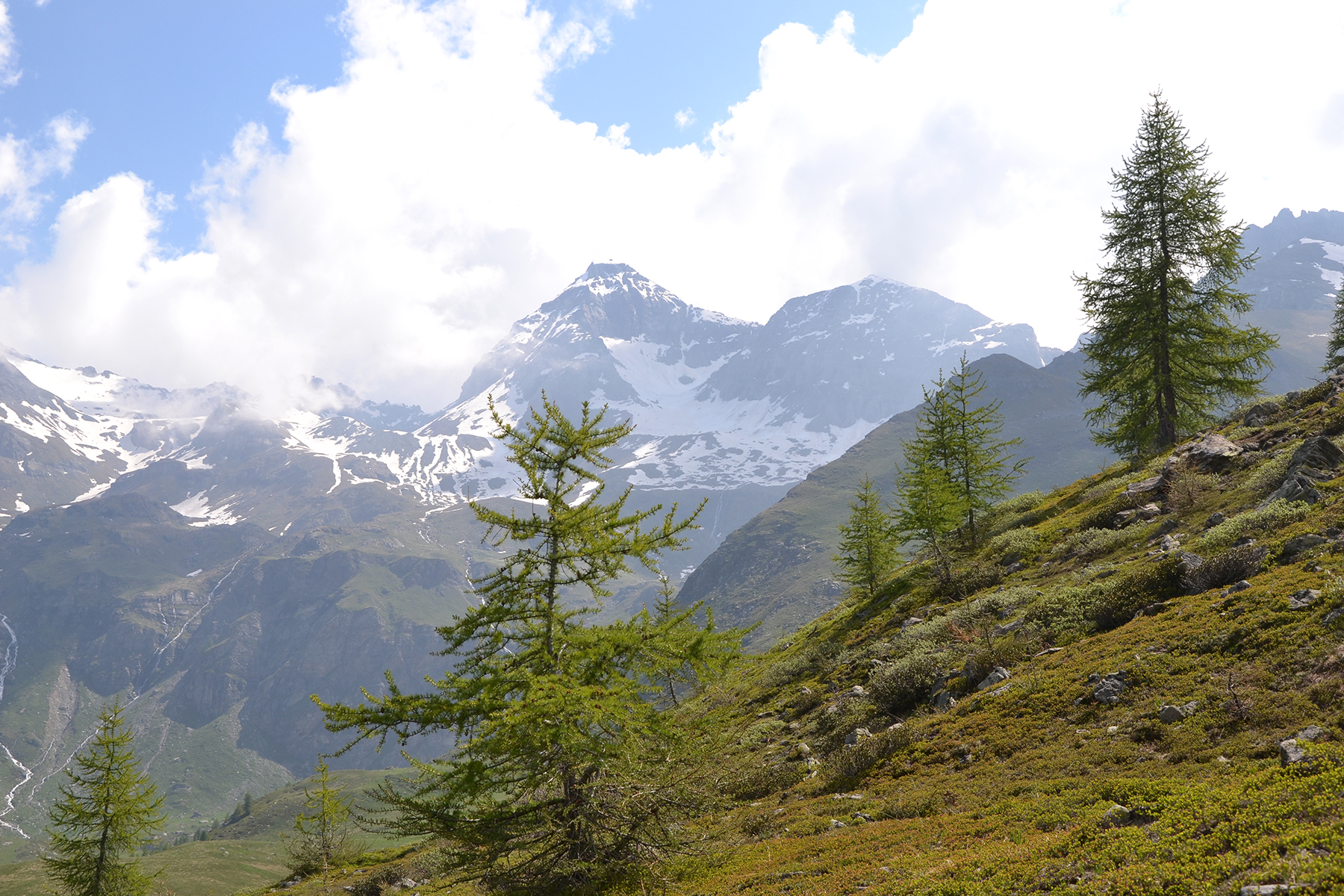
A
few spread out larches on more than 2300m. In the background
is Grand Tournalin 3379m, and Petit Tournalin 3207m.
|
|
|

|
|
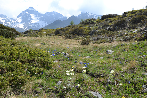
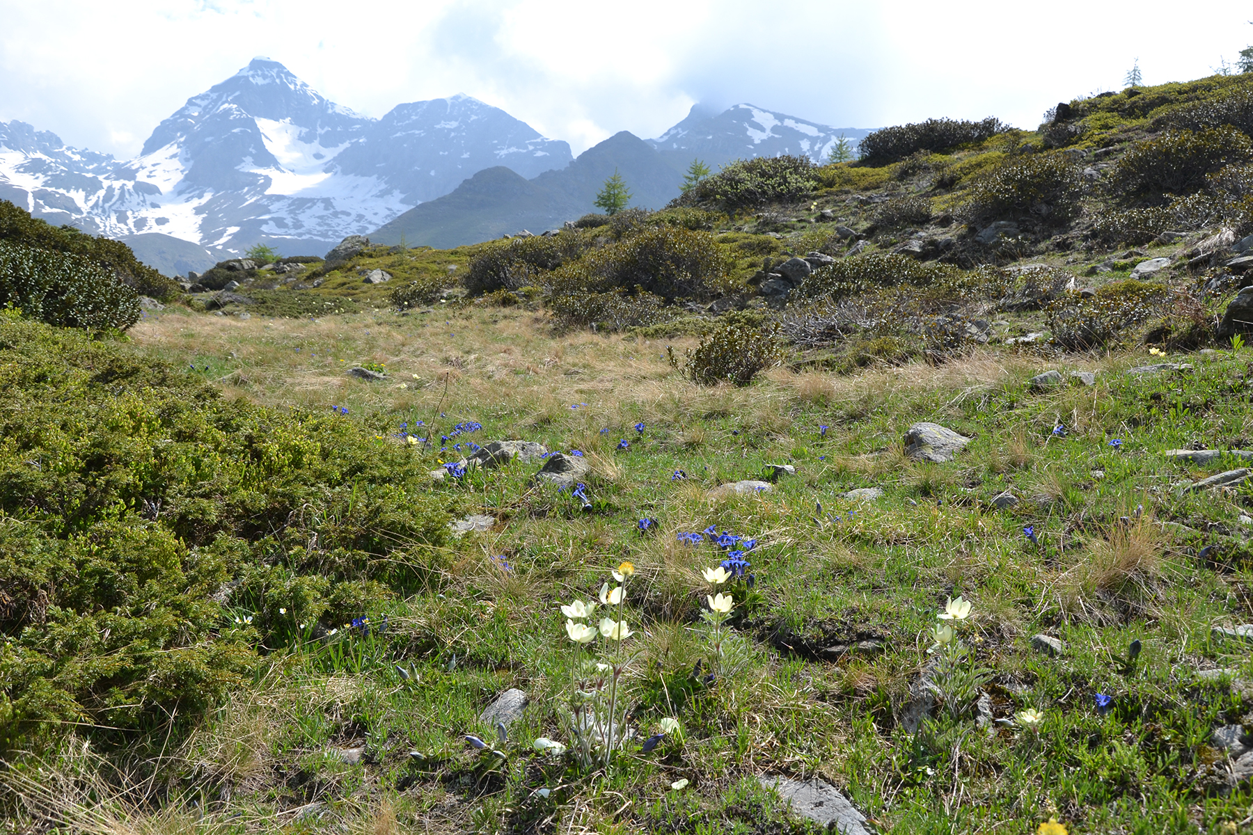
Gentians
and Anemones on 2400m. |
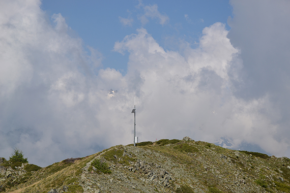
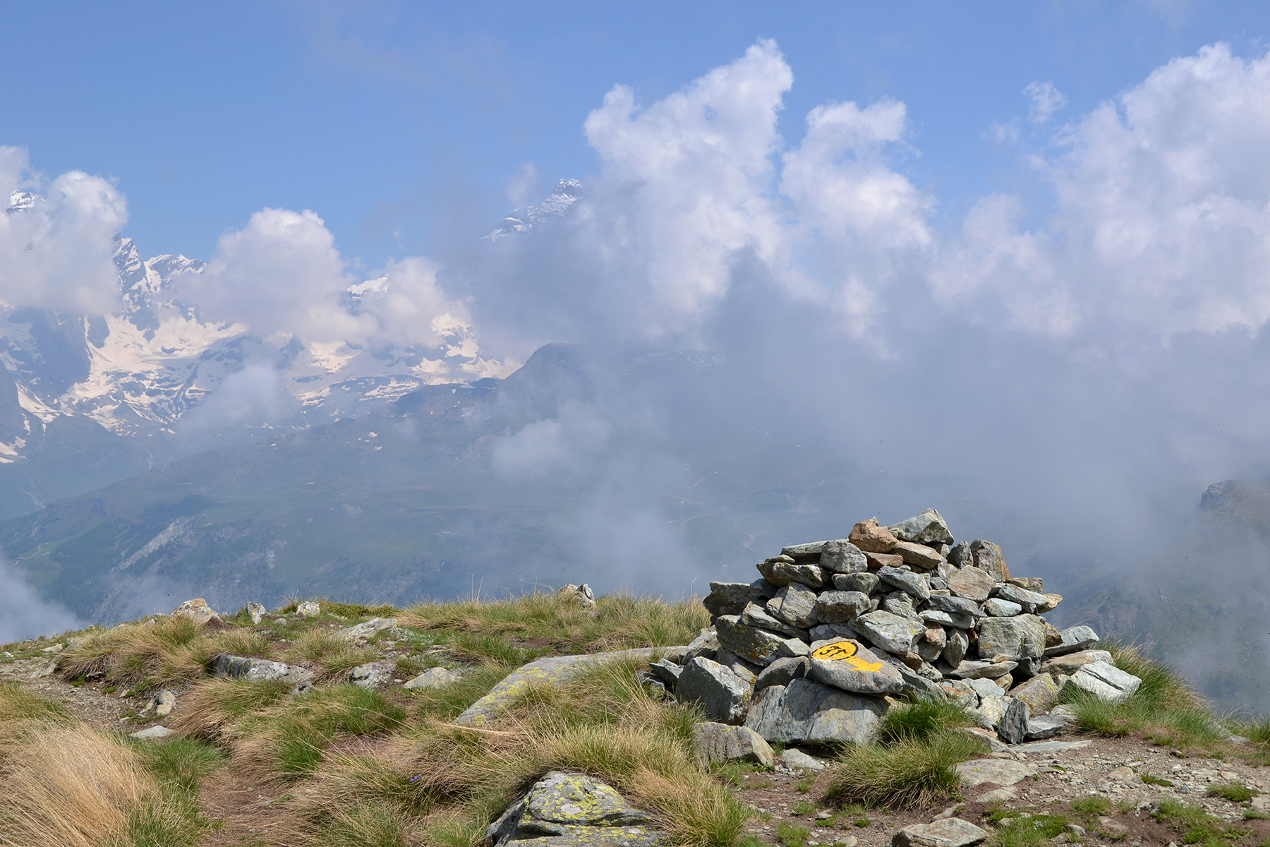
From the ridge at 2480m, it's an easy walk
to Punta
Fredda 2513m. |
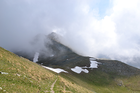
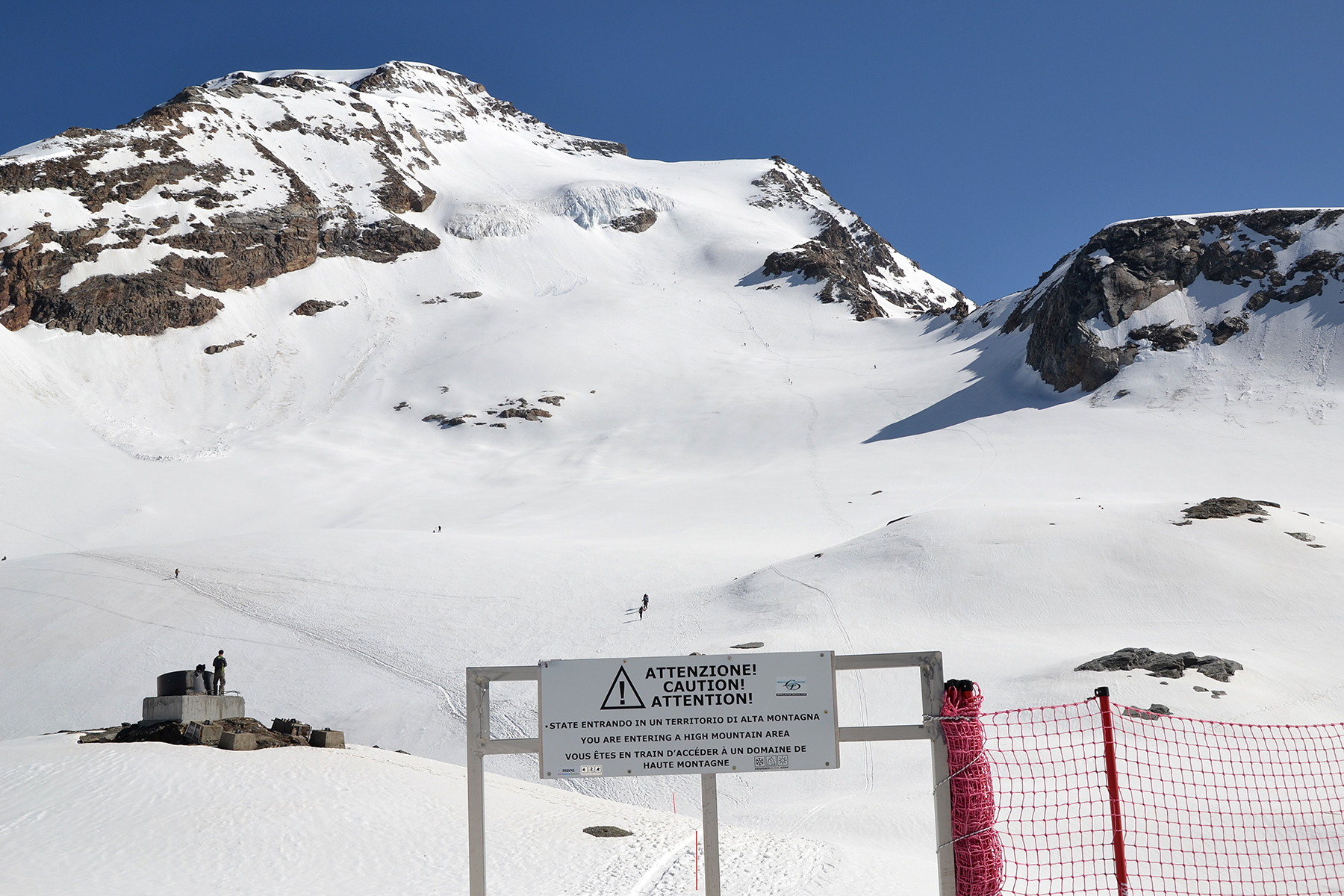
Looking
north towards Monterosa. Cumulus clouds close the view more
and more.
|
|
|
|
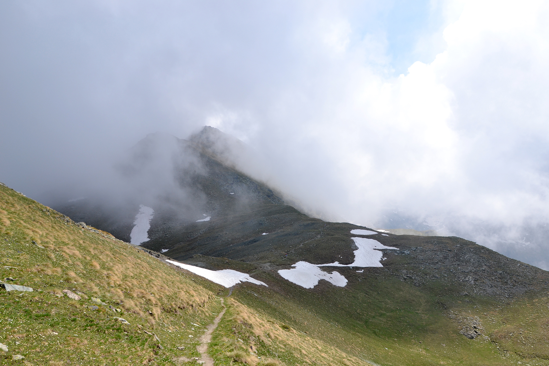
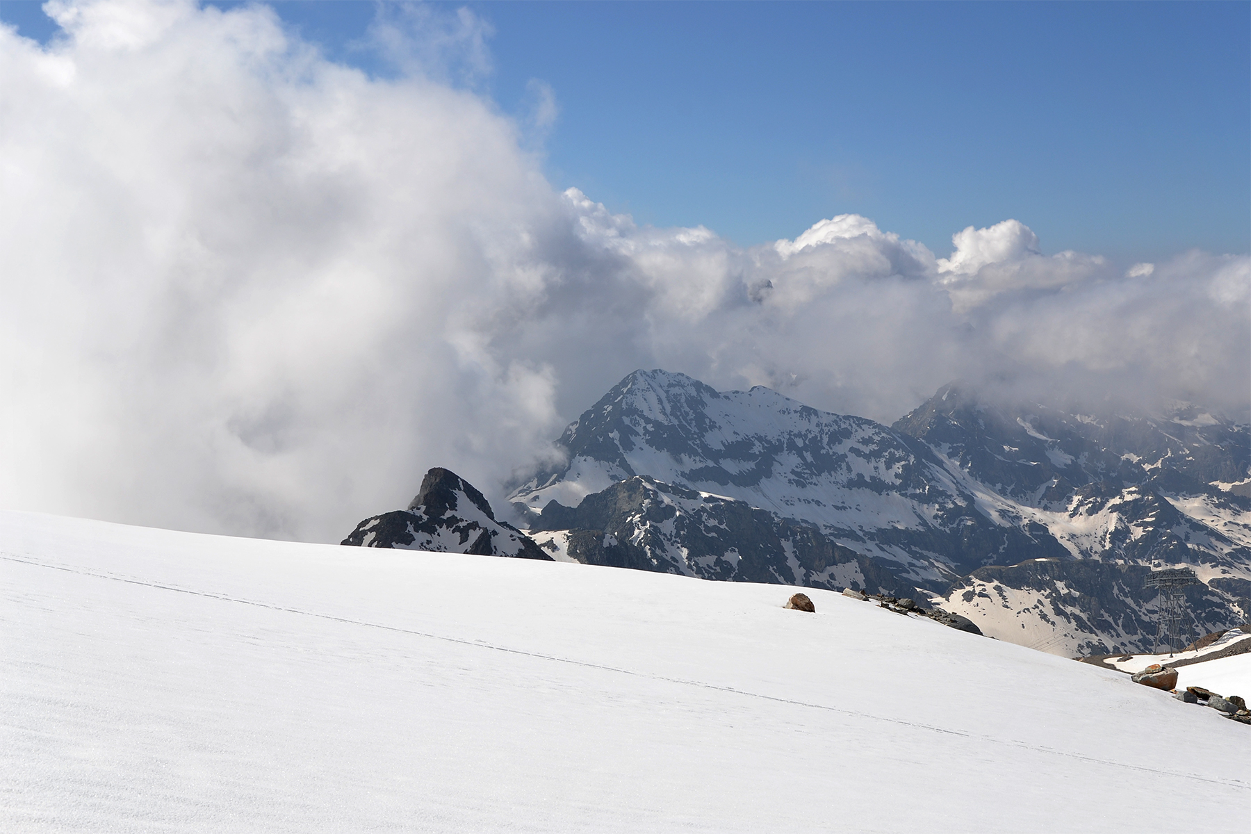
Back towards Punta Falinere, now
barely
visible through
the clouds. |
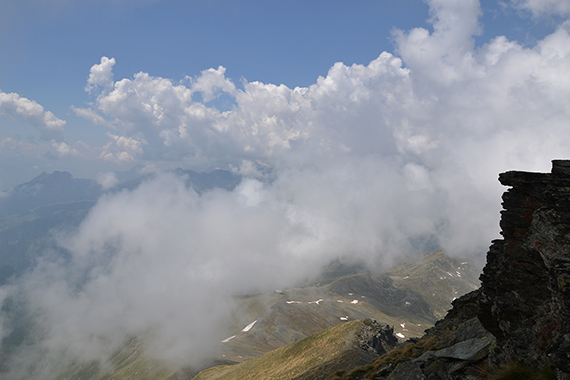
Here
is the ridge going between the peaks. Even the
chapel can be seen down
there. I need 1h 15 min down
to the parking place again. At last my
legs
are beginning
to work again.
|
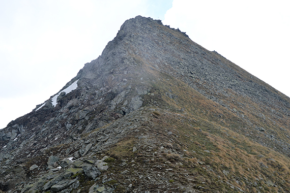
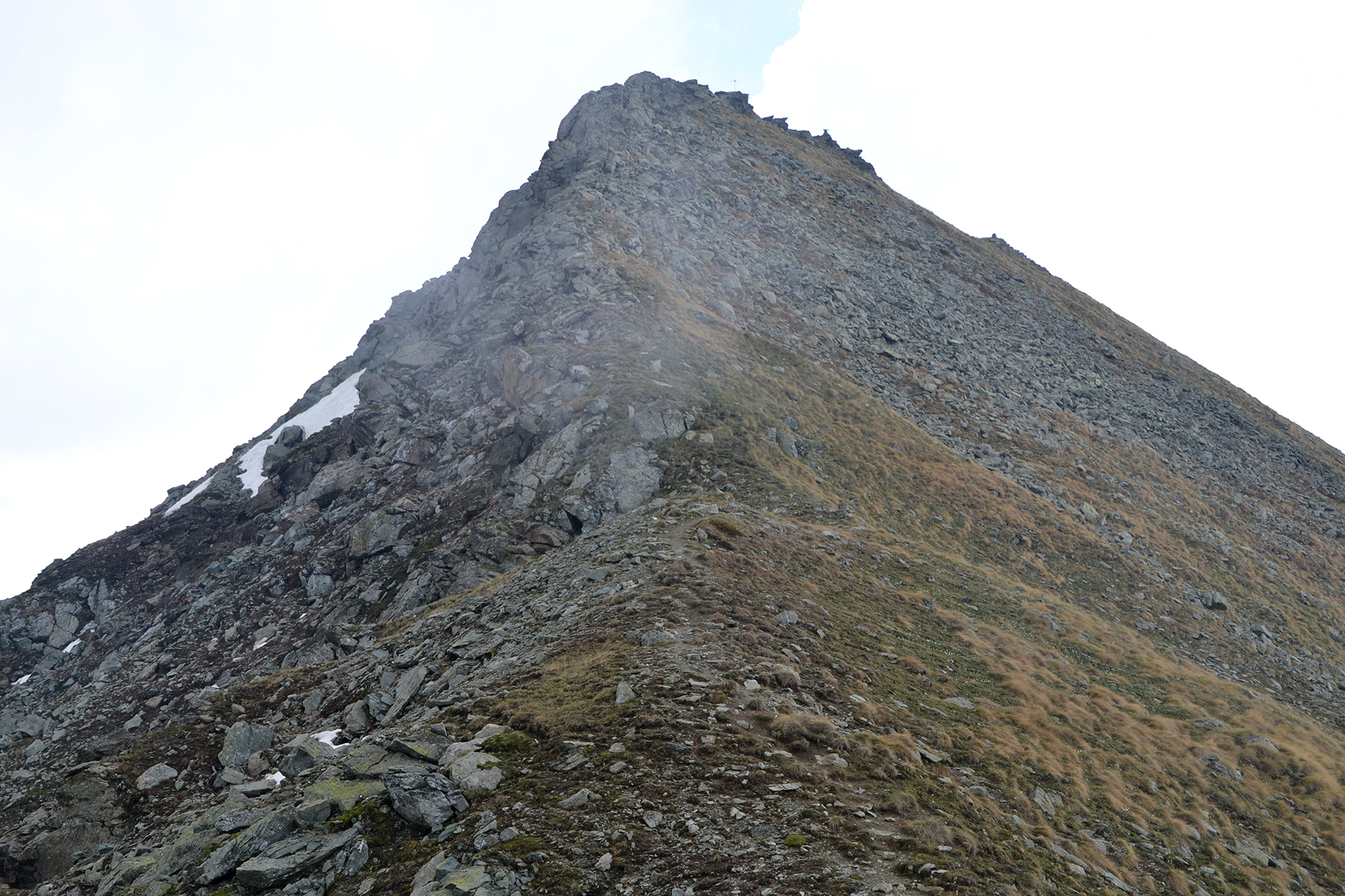
The final 80 altitude meters are a little
steeper, and
you need your hands at a few occations. It can also be a little airy.
But otherwise the climb from the west is straigtforward.
|
|

|
|
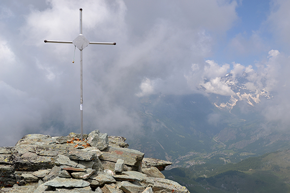
A
metal cross markes the summit. The clouds remain,
even if the
weather gradually improves. Valtournanche
can be seen down in the
valley. |
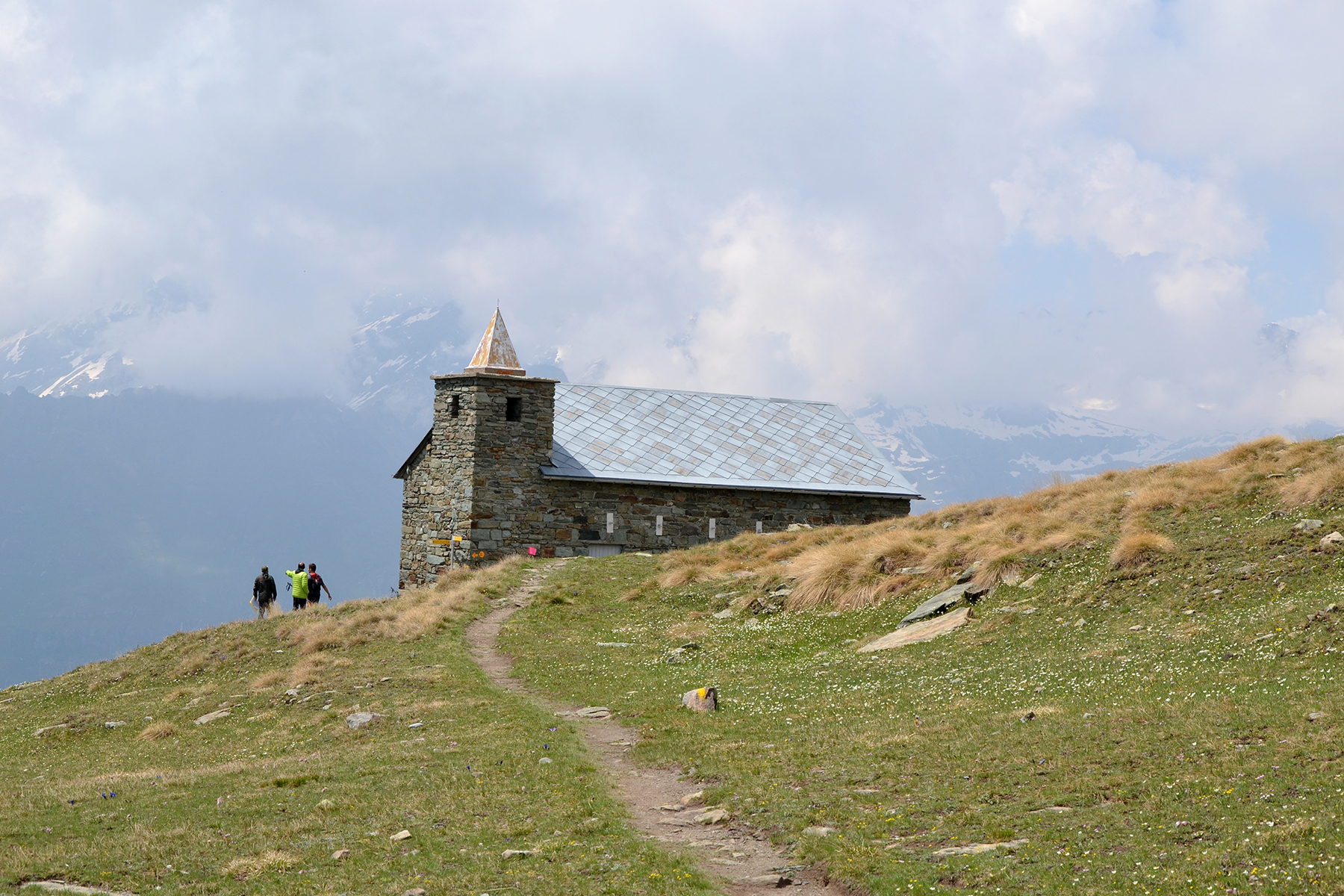
Between the peaks is
the small chapel Santuario Clavité.
This picture is taken on
the
way down, when the weather
has improved a little. |
|


