|
|
|
Bergkastelspitze
as it appears from the cableway station
on almost 2200m at Nauders.
This mountain is, in all ways,
a "real" mountain.
|
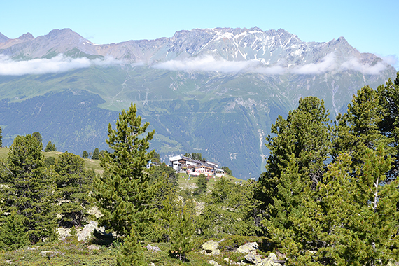
A look back at the cableway station and
restaurant. Behind
is Piz Mundin 3145m. |
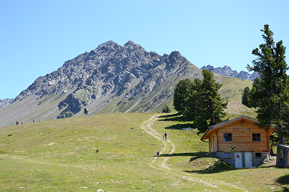
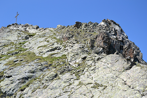
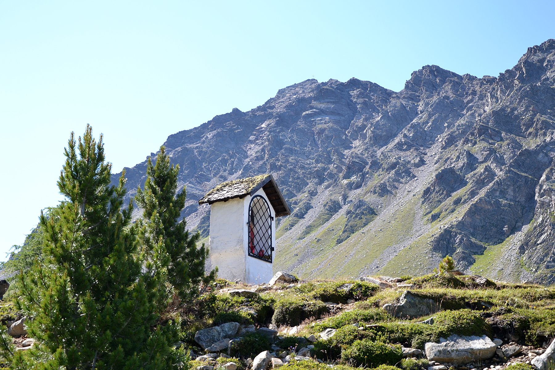
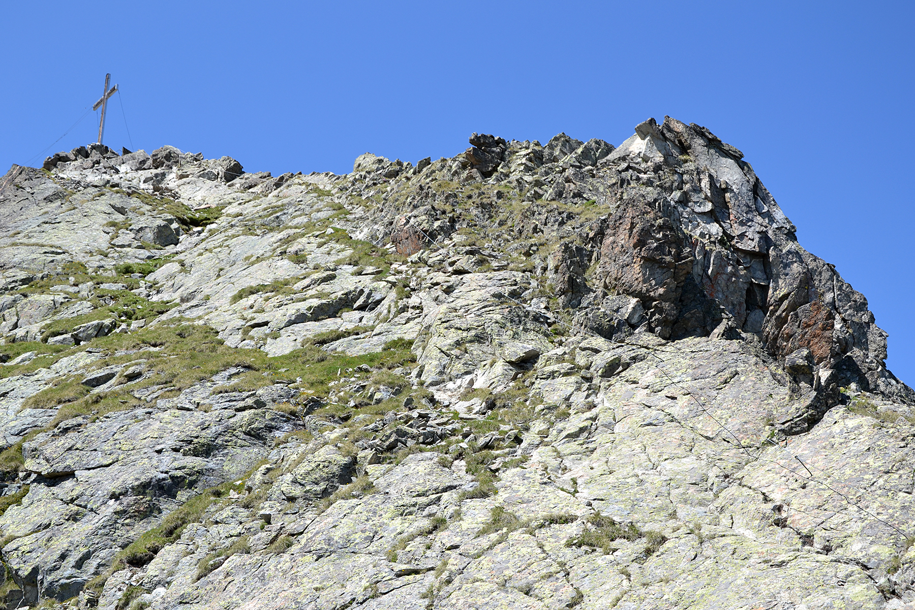
A little higher, at the tree
limit on 2300m. Bergkastelspitze is present all the time, the summit cross attracts up there.
|

|

|
|
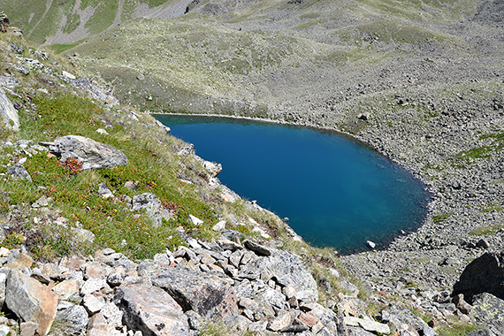
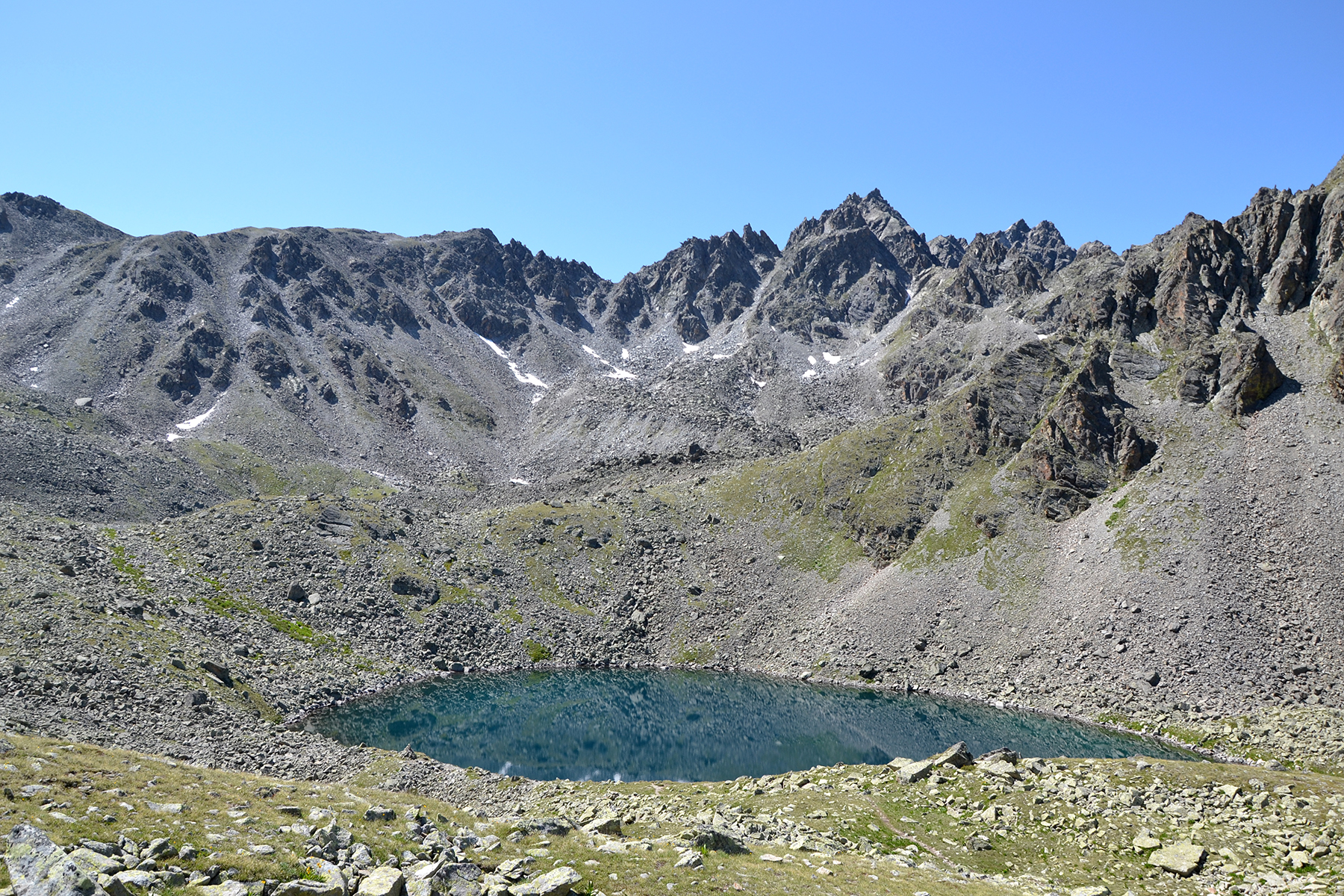
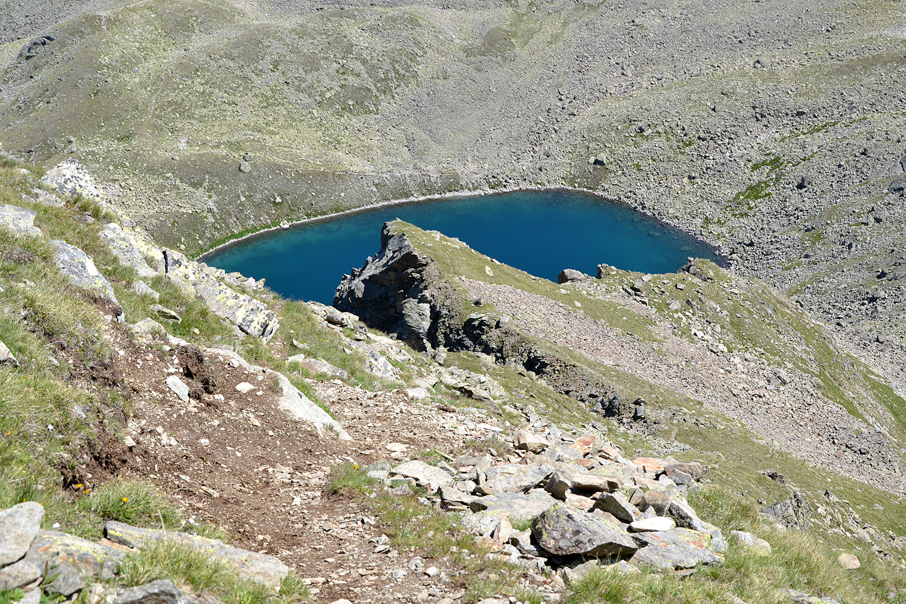
Goldseen
are two lakes on a little more than 2550m. Here
is the first one. |
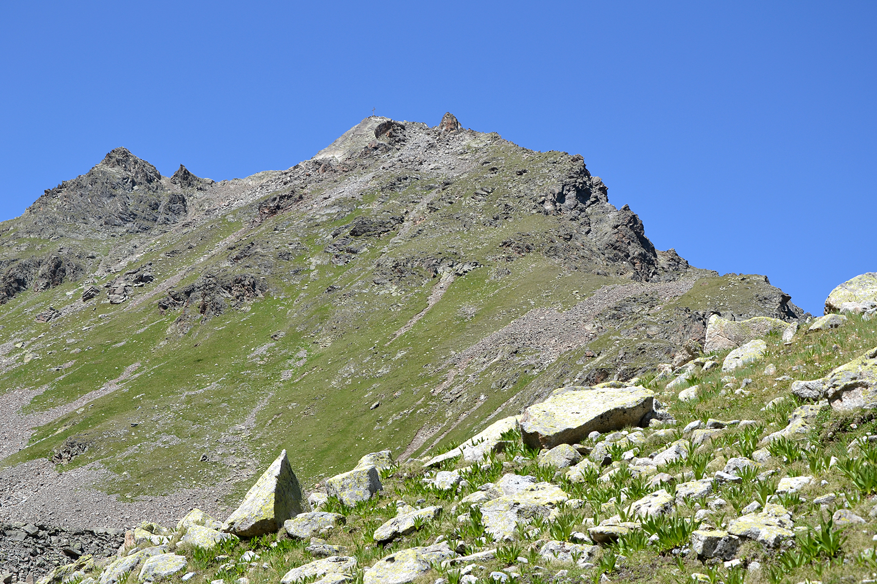
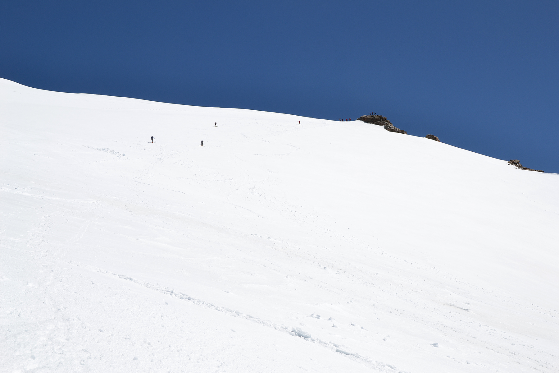
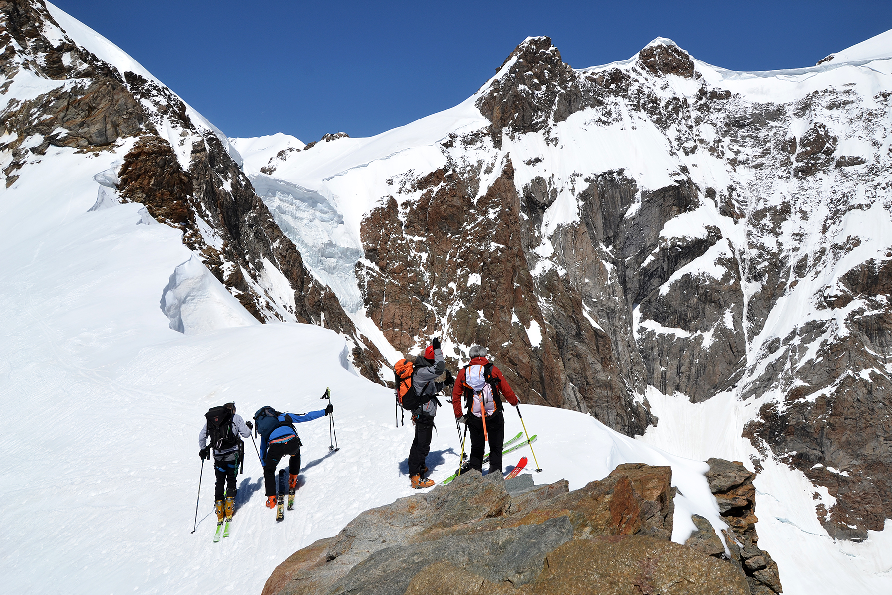
Now
it's time for the steeper section, up towards the summit. |
The whole way from Goldseen is really steep. But somehow it works anyway. |

|

|
|
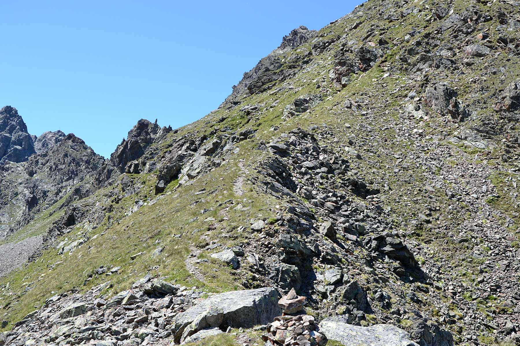
The
path is fairly visible most of the time, and there are
red markings on
the stones here and there. The trail really
should be followed here. |
In the
steeper sections you can slip on the grovel. The
hands are needed sometimes. |
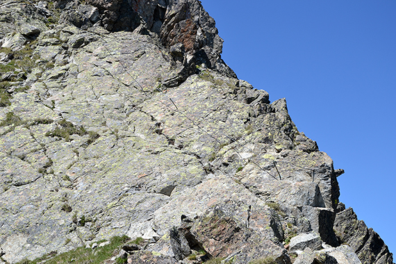
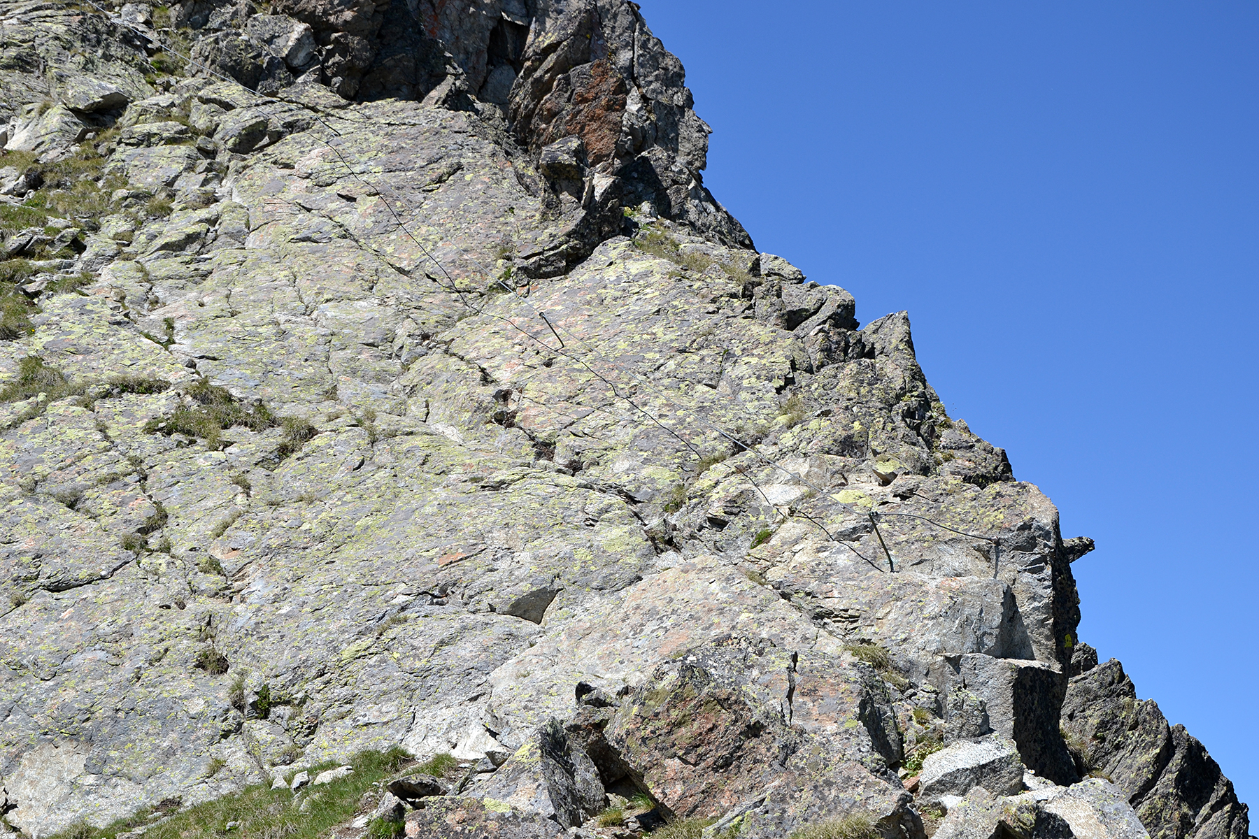
The
last section towards the summit is secured with a wire. At some places
I hold it, at others it feels better to go beside. |
|
|

|
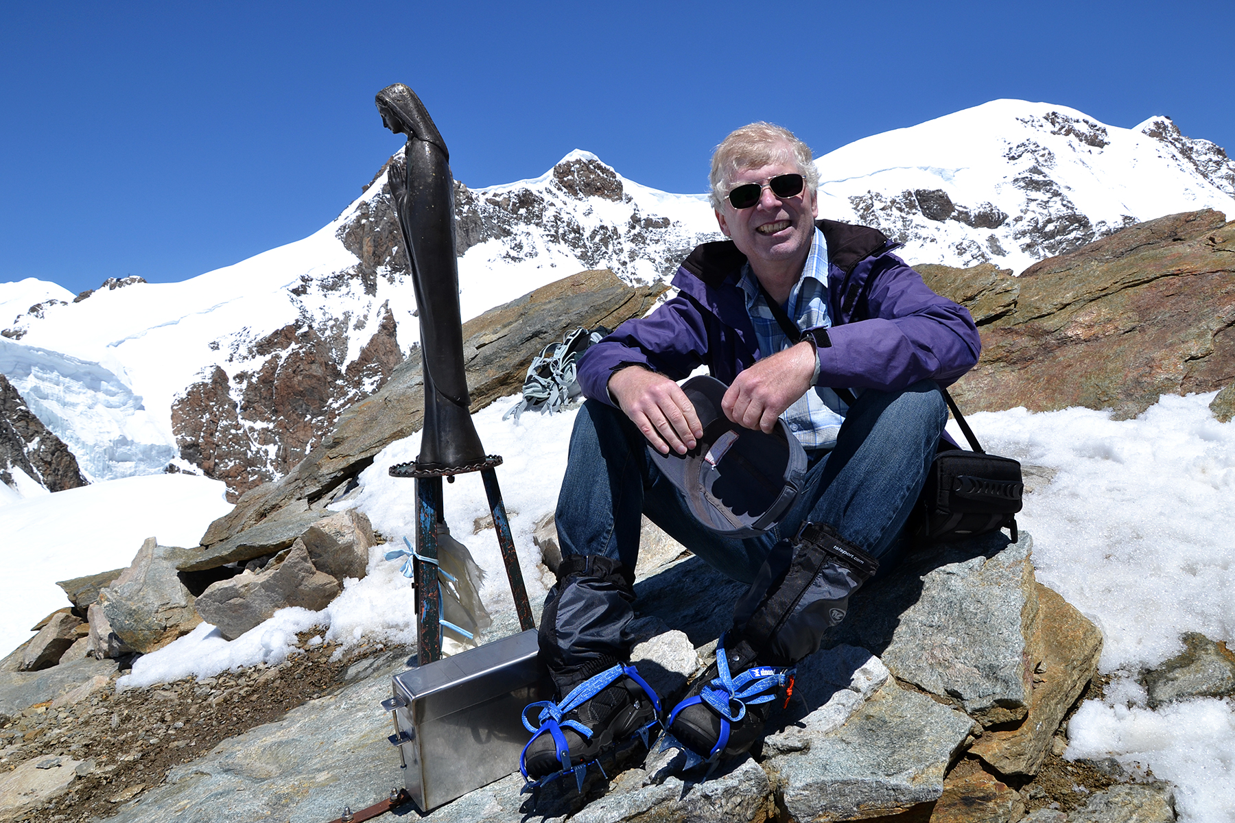
Even
if Bergkastelspitze requires no vertigo and safety,
this is still a
peak that can be accessed by anyone with
some practice of steeper trekking. It
requires some effort
and concentration, but it gives a lot in return. |
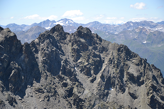
Klopaierspitze
2919m, to the south. There are two people standing on the summit. In
the background, to the right is
Piz Bernina 4049m. |
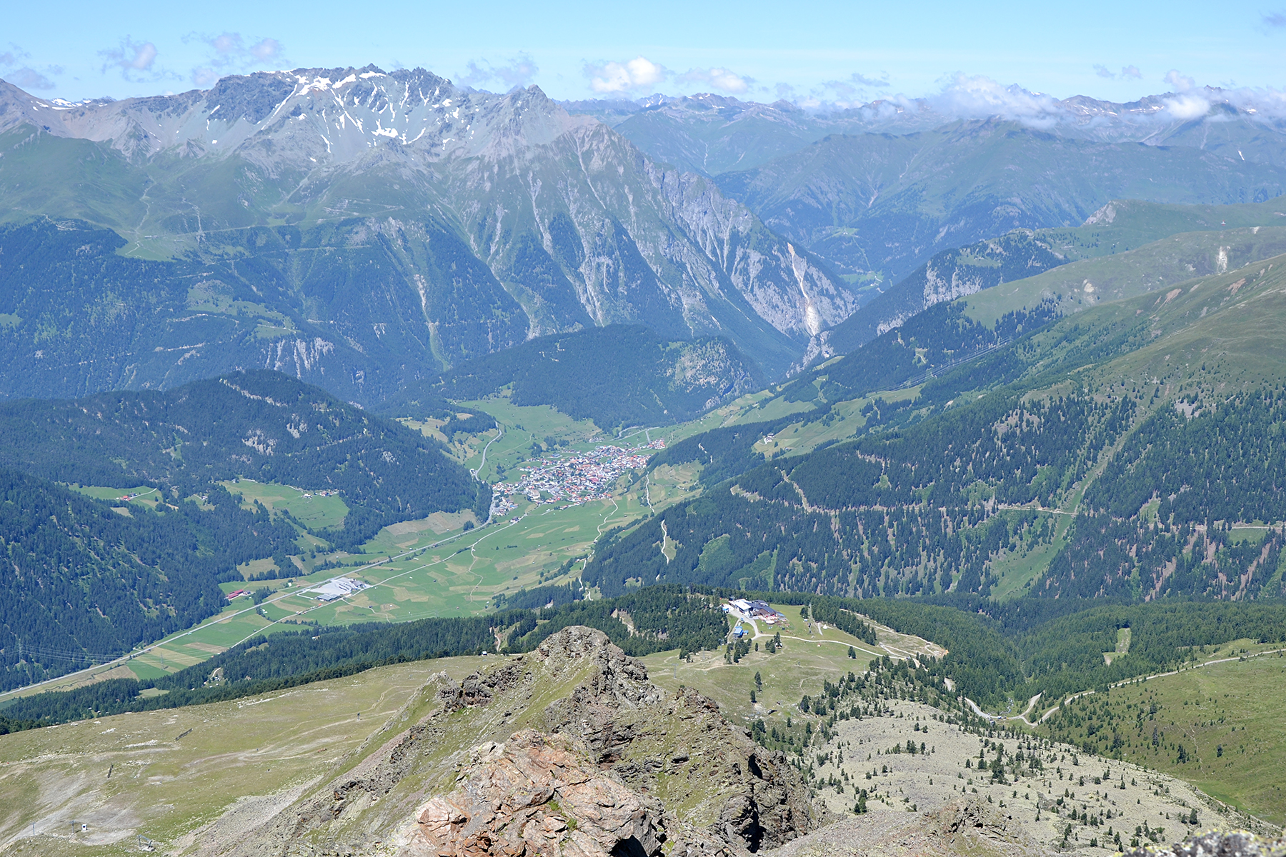
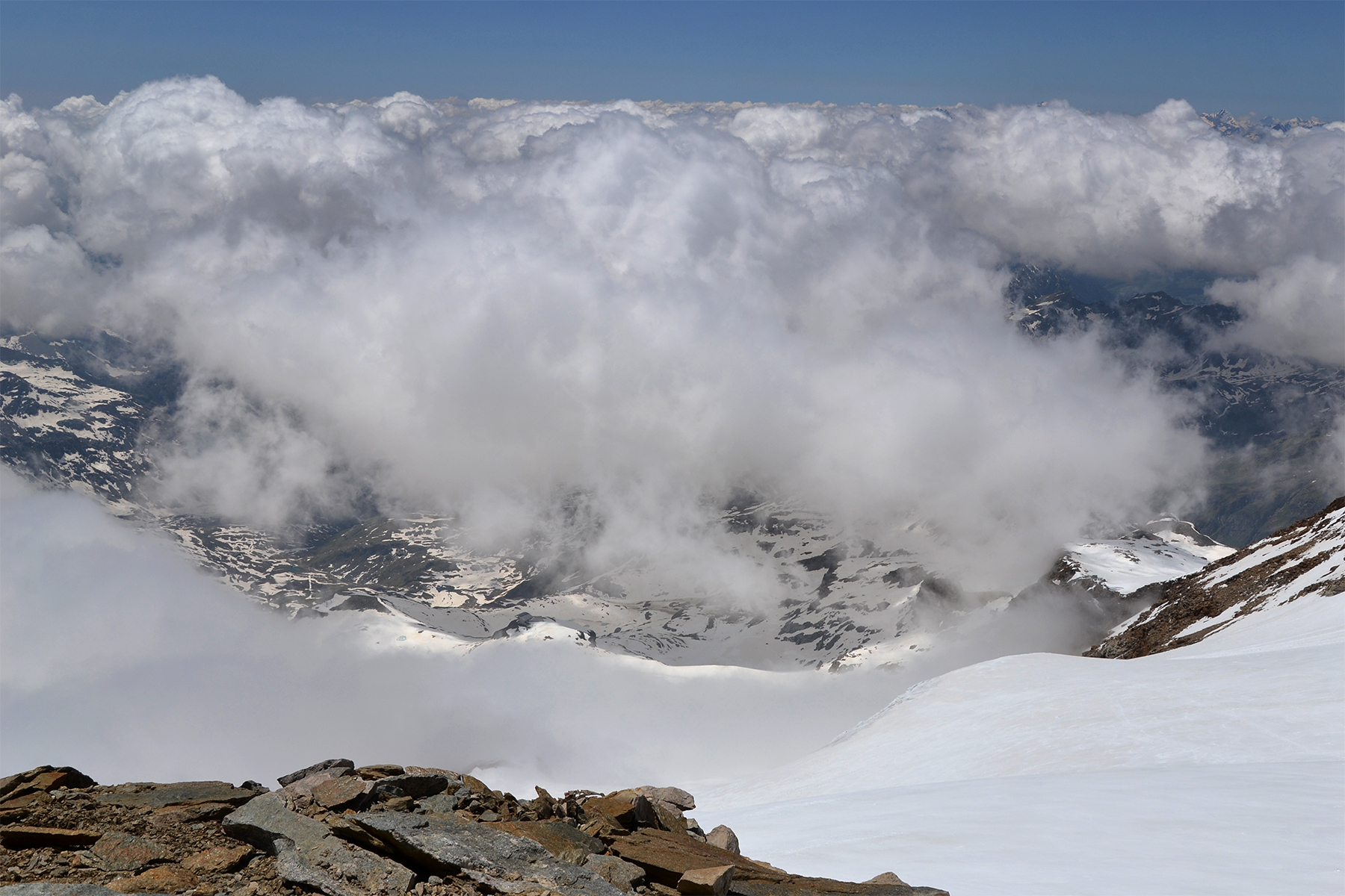
A look
down towards Nauders from the summit. |
|
 |
 |
| Piz Lad
in the southwest, with Silvretta behind. |
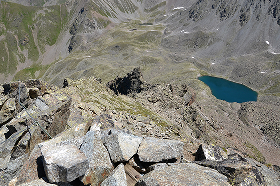
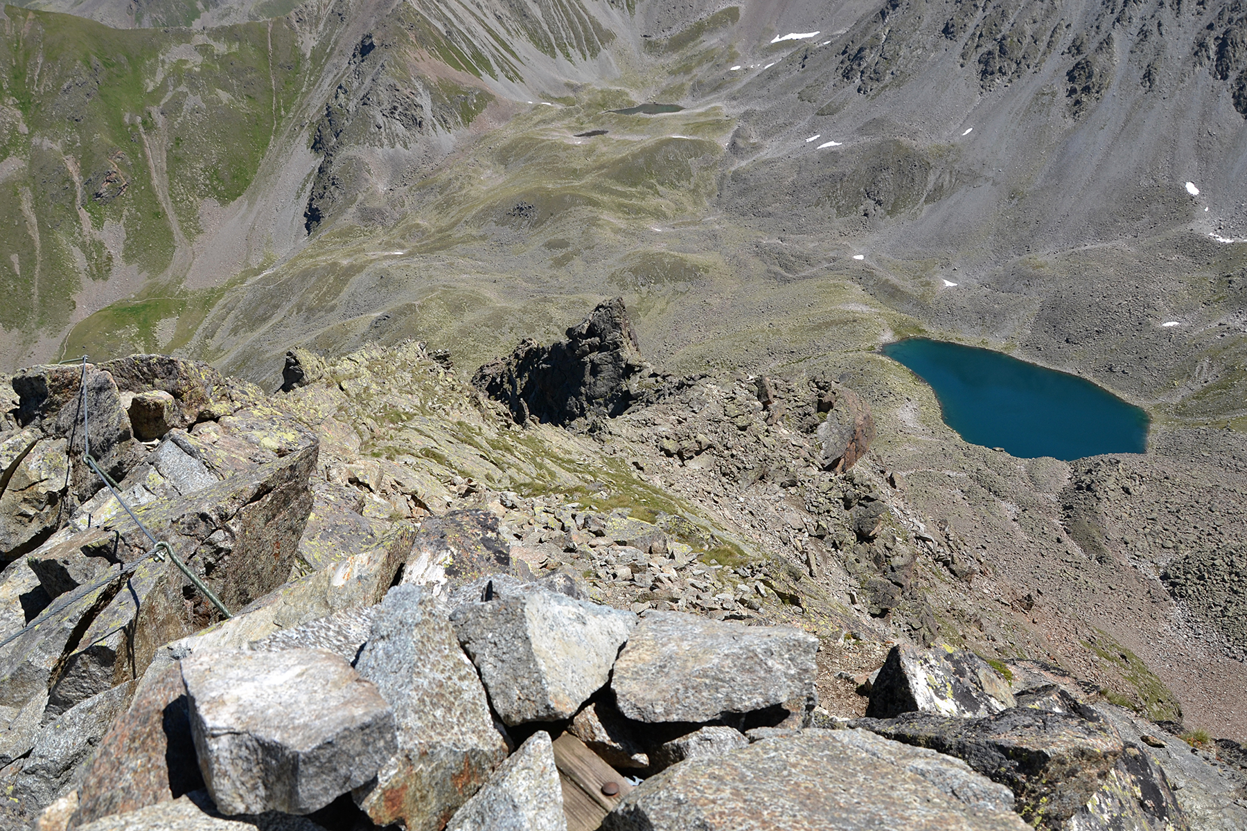
A look
down towards Goldseen. |
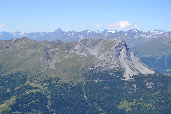
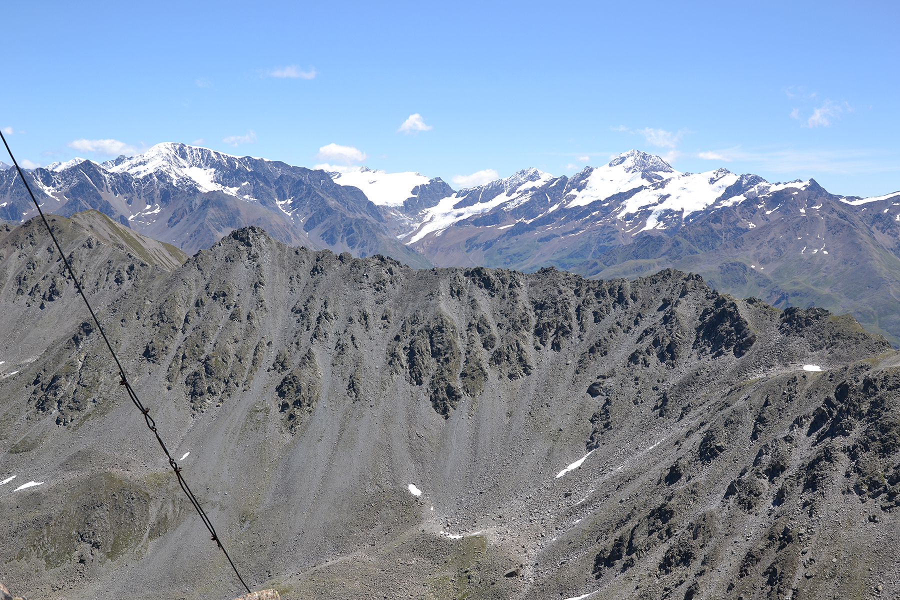
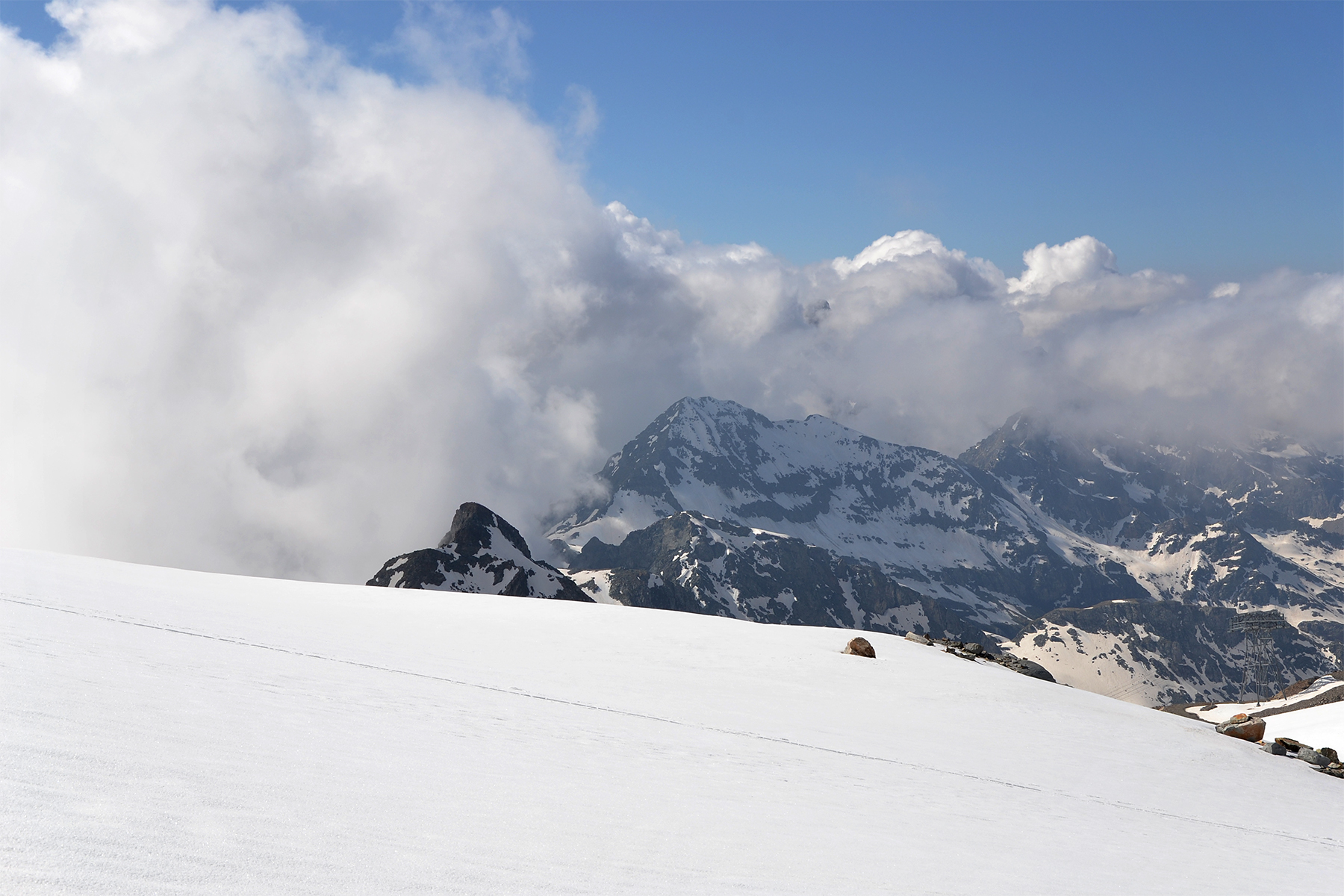
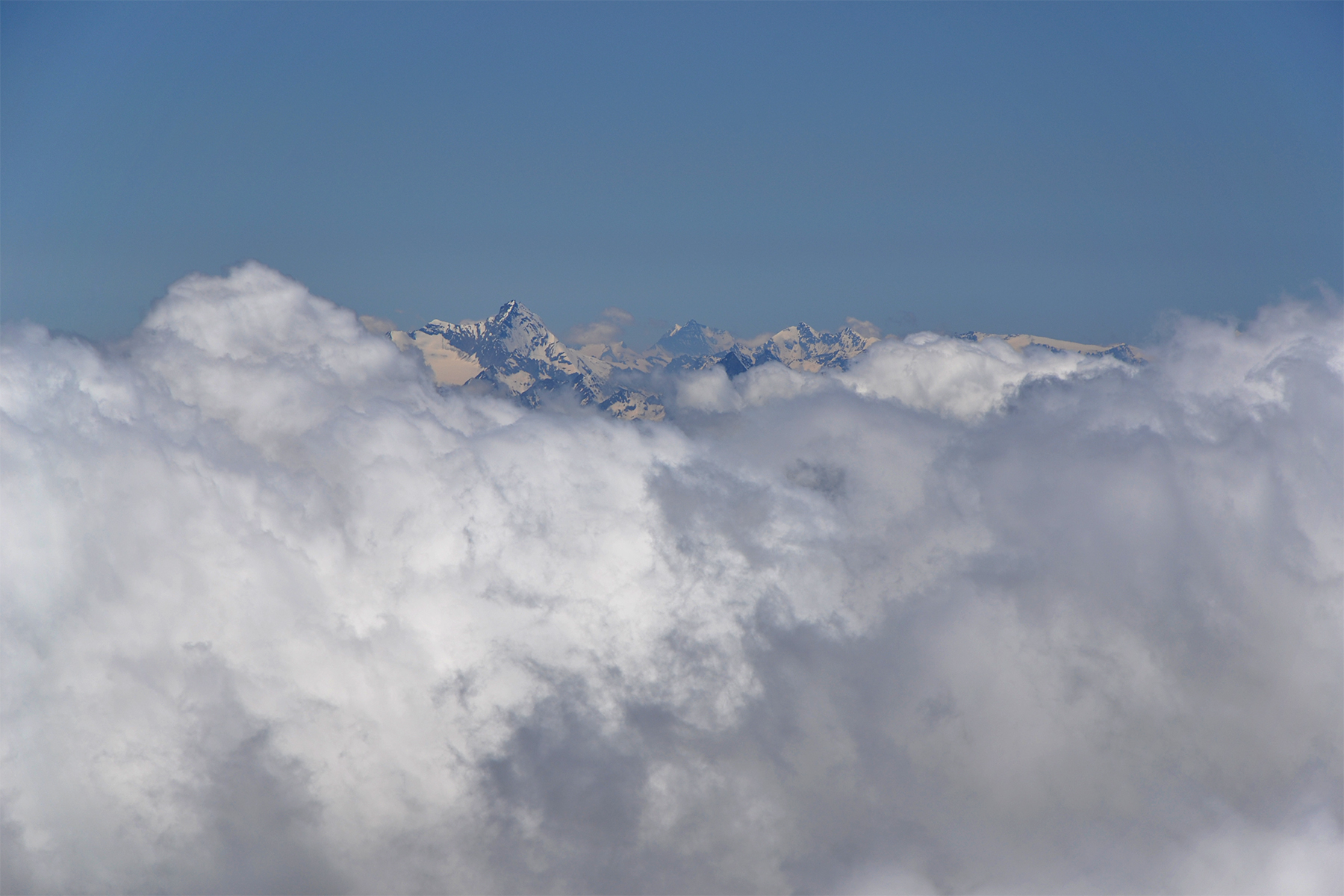
Ötztaler alpen, to the east. To the left is Weißseespitze
3516m and to the right
Weißkügel 3739m. |


