|
|
|
Today
the weather is considerably better than yesterday,
when I climbed
Haglebunatten. I check out from the
camping and take on the Gausta
peak, before driving
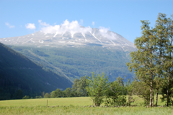
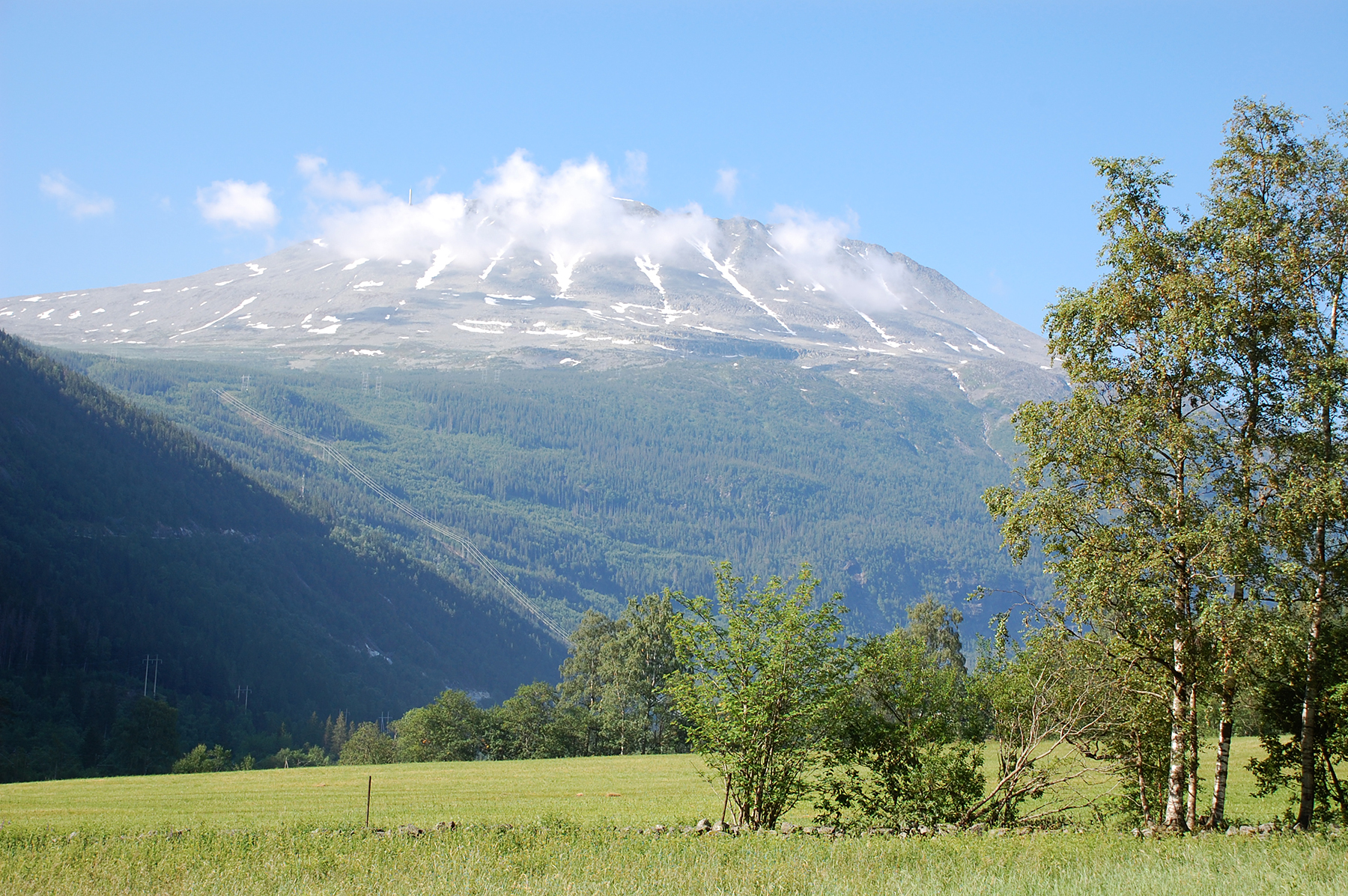
home to Sweden in the afternoon. Here is the mountain
from the camping.
|
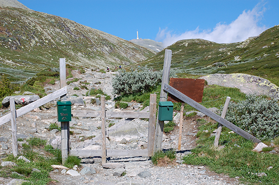
This time I start at the bigger car
parking at 1200m,
meaning 700m. The goal is visible from the start, it
doesn't look that far. |
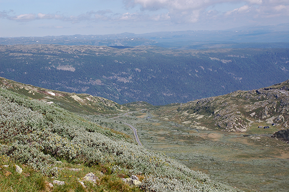
A
view from 1400m. The last time I was here we had clouds covering the
top, we couldn't see anything. Therefore it feels extra good with nice
weather now.
|

|

|
|
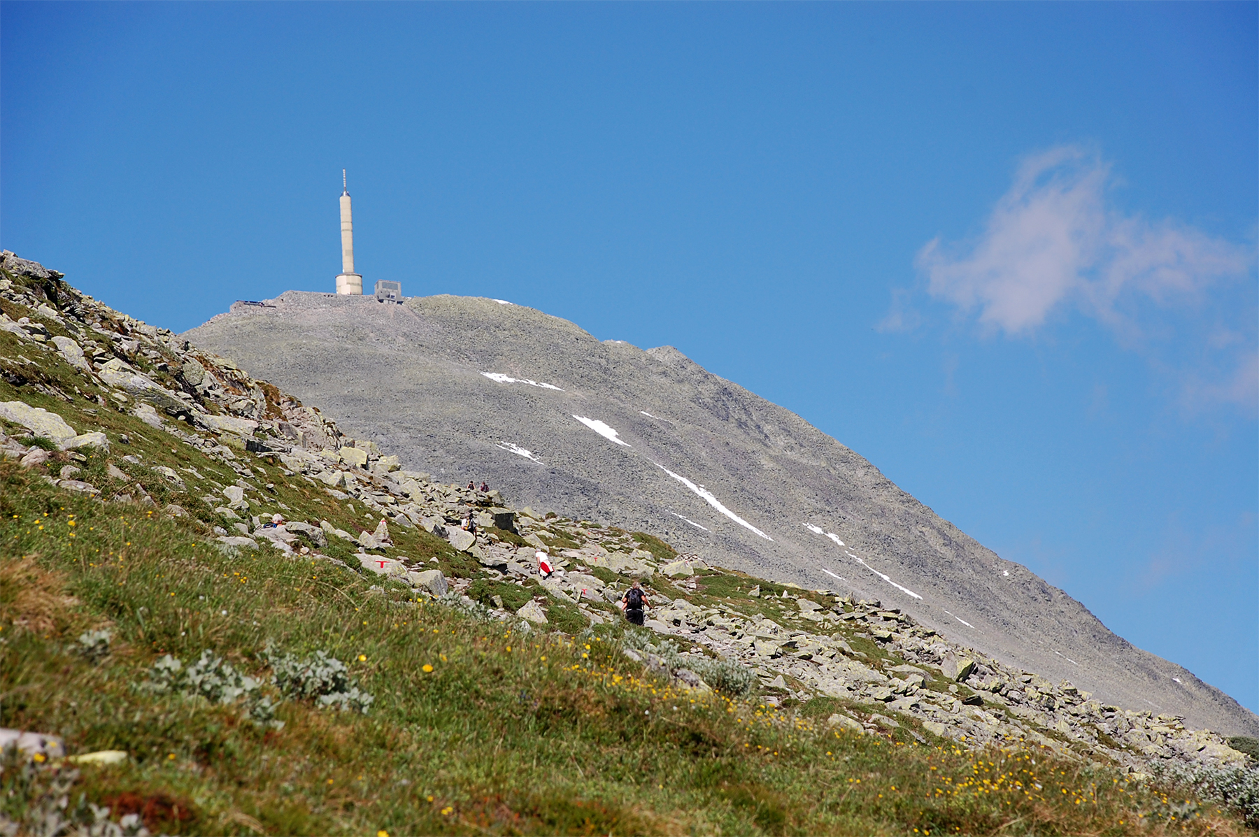
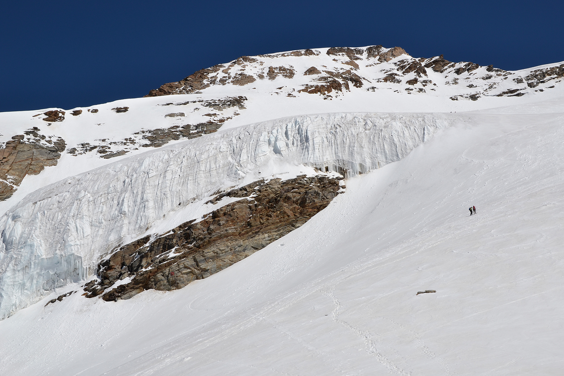
The
summit is getting closer. The higher I get, the more
stone there is. |
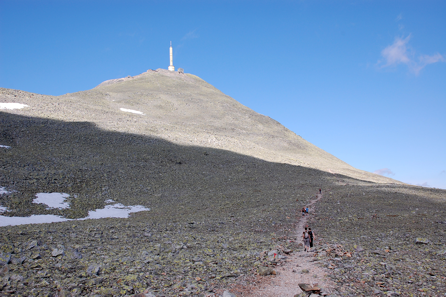
The
last 250 altitude meters. Now there is nothing but
stones... |
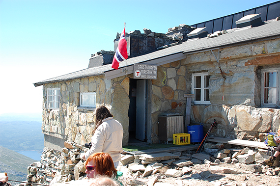
The
top cabin at 1830m. This is
where most people stop, have some coffee and then walk down again.
|

|
|

|
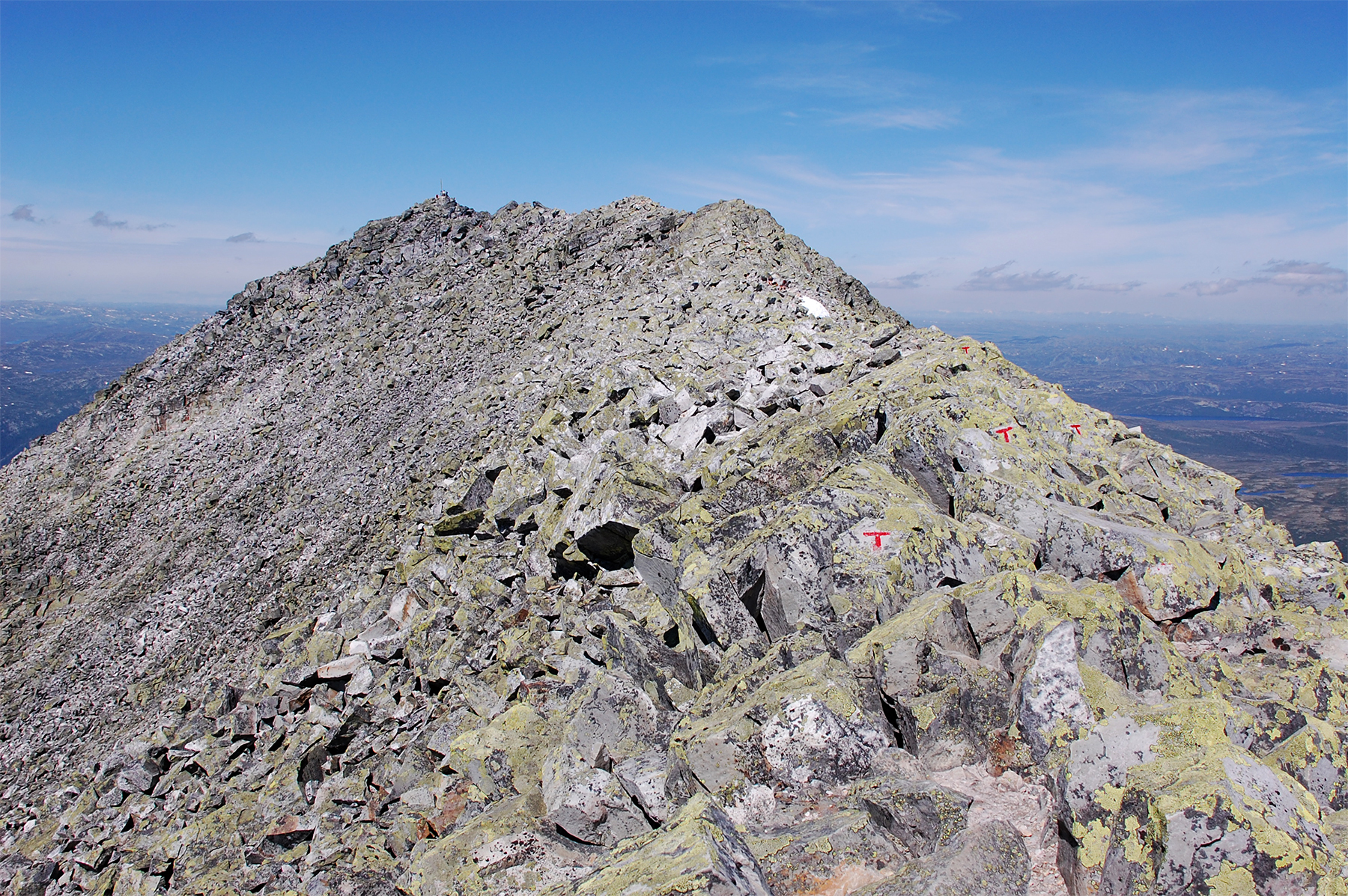
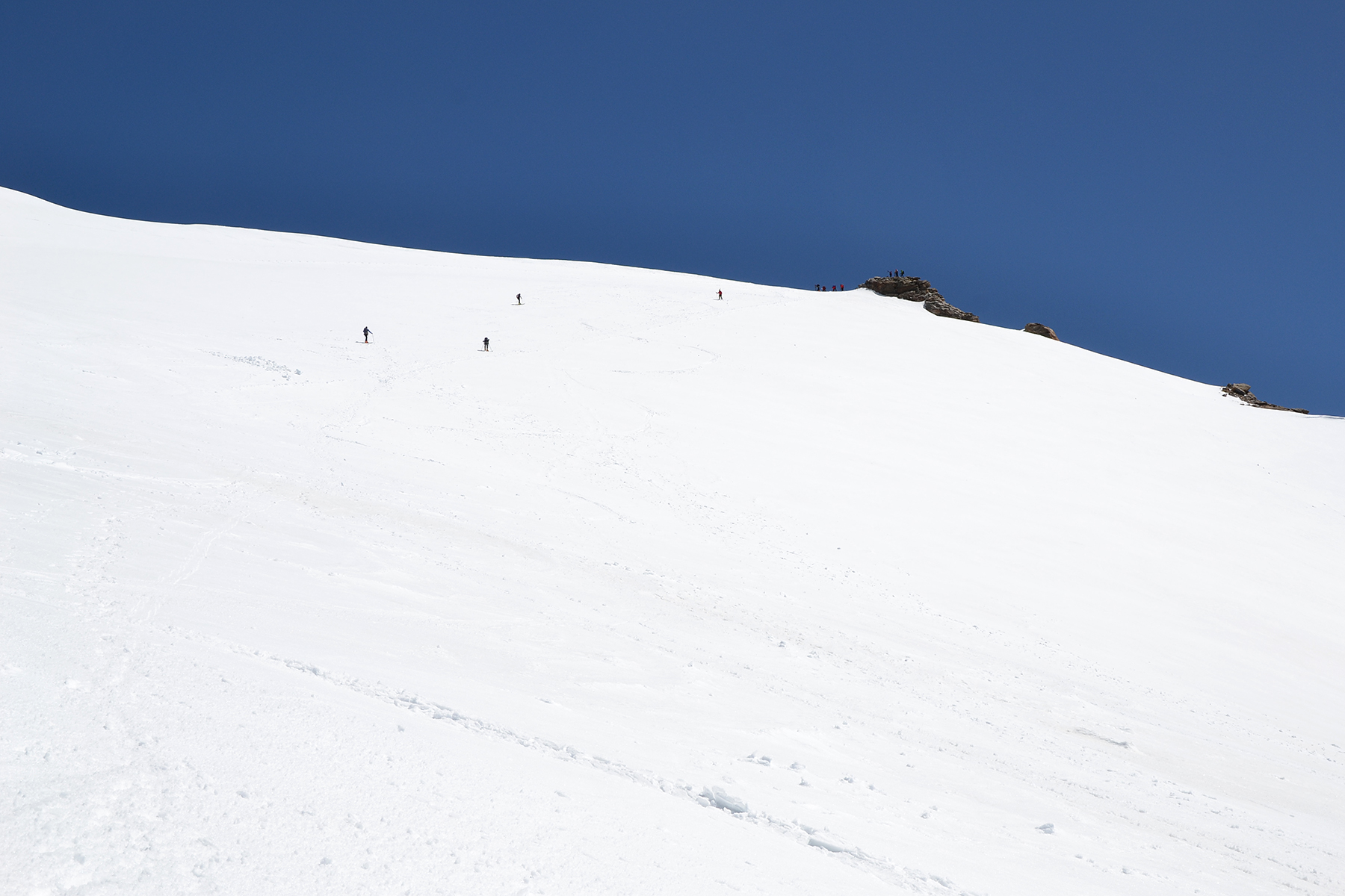
But from here it's about 15 minutes to the
real peak. The
trail going there is a bit airy, with a few passages where
one needs to take some care. The red T markings should
be followed. |
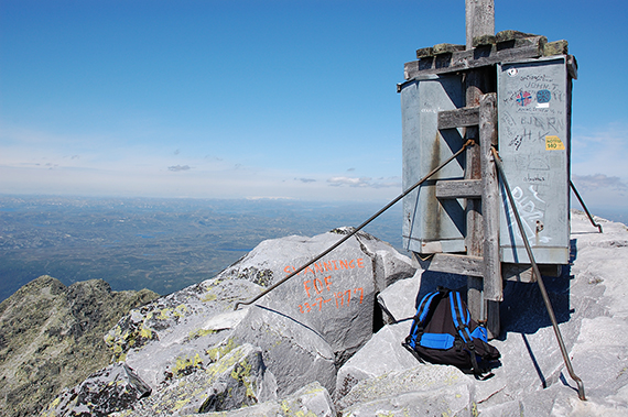
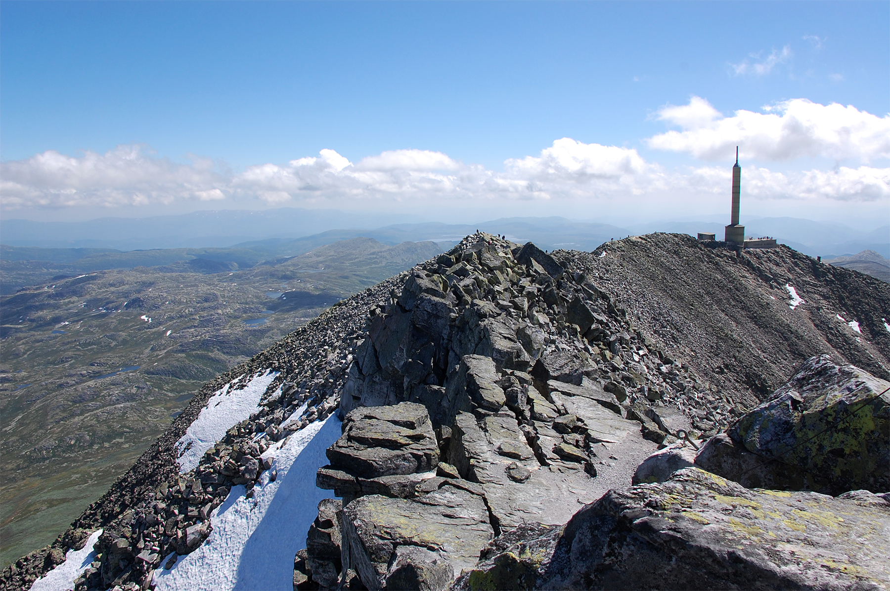
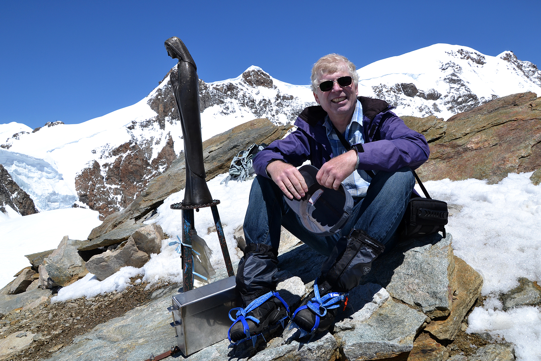
The
Gausta peak, 1883 m. At clear wheather you can see
1/6 of Norway from
here. Maybe it's not that clear today,
but you can see far. In the
background is Hallingskarvet
with its white snow. And the top marking,
well... |
A look
back to the path leading from the top cabit and the mast.
|
|
 |

|
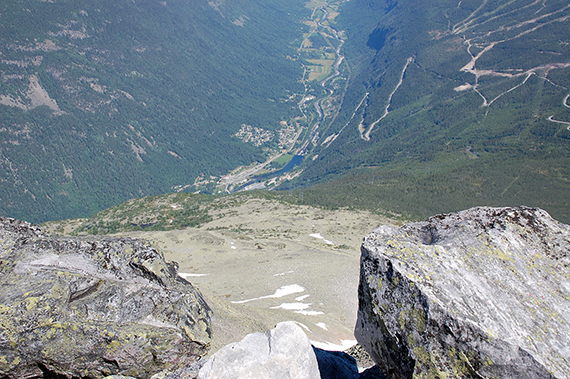
| Rather
steep from the summit
down to Rjukan. |
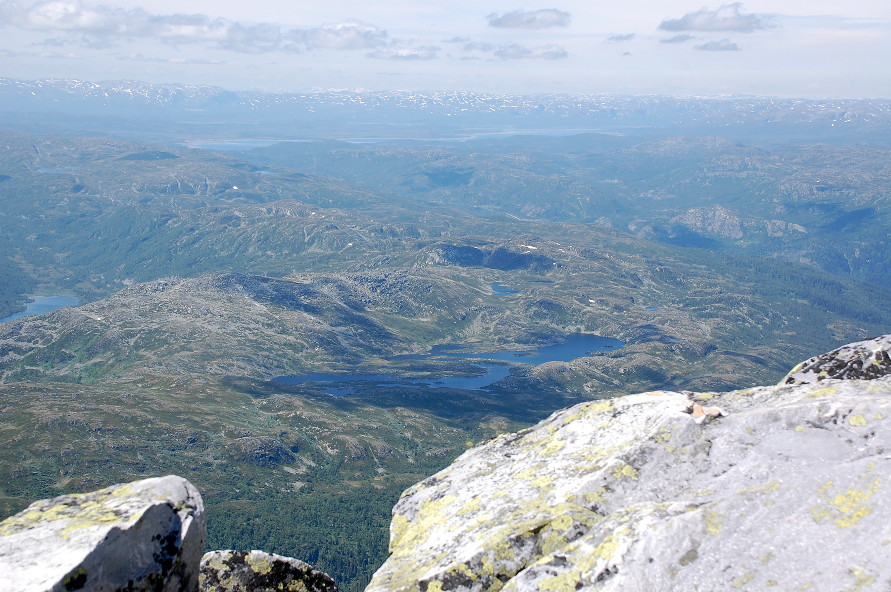
Looking
to the northwest. The surrounding peaks look
small, because Gausta Peak is conciderably higher.
|
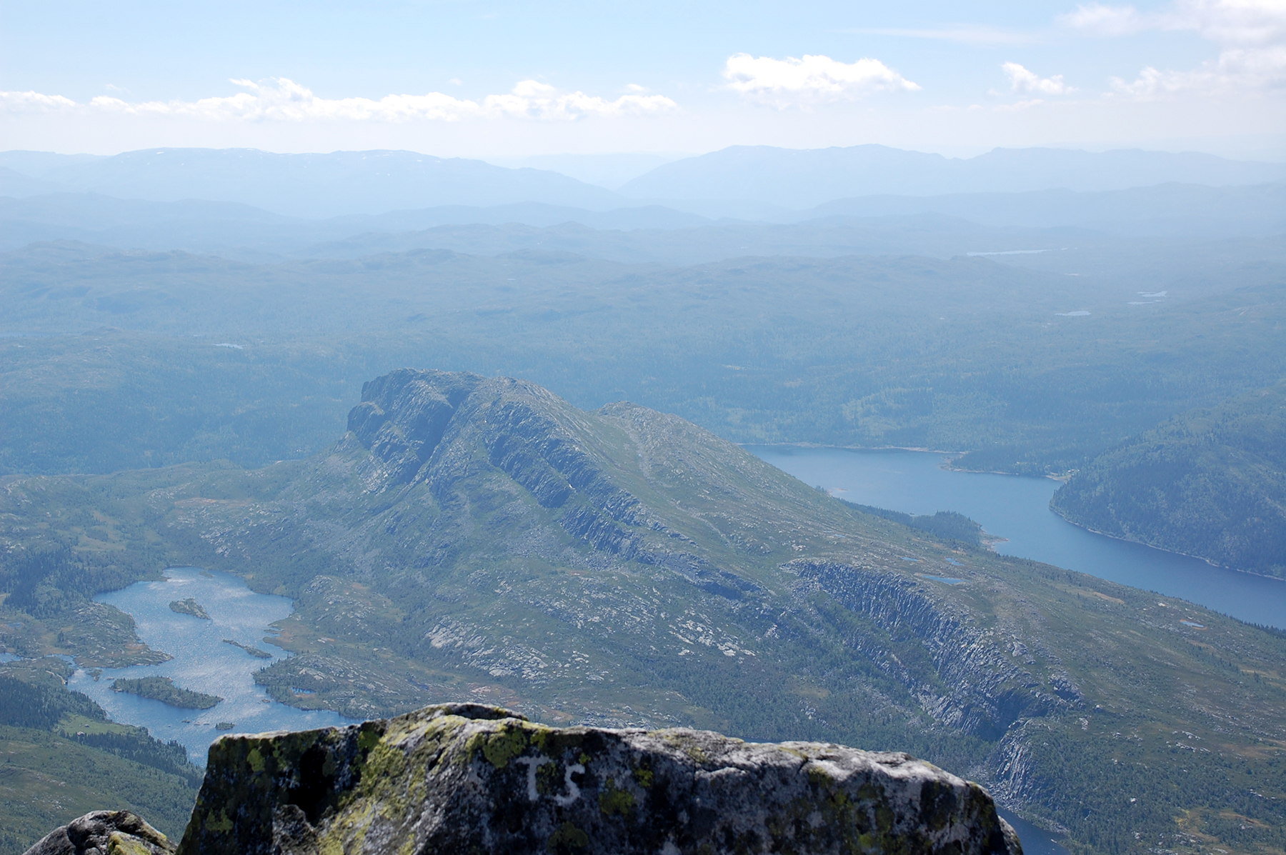
A view
to the southwest.The peak Bonsnos is closest. After descending
the mountain again I reach the car 4
hours after leaving it.
|


