|

|
|
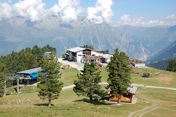
I
use the cableway from Nauders, Austria, up to almost
2200m.
|
On a
little more than 2600m
Goldsee can be seen. |
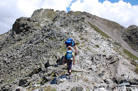
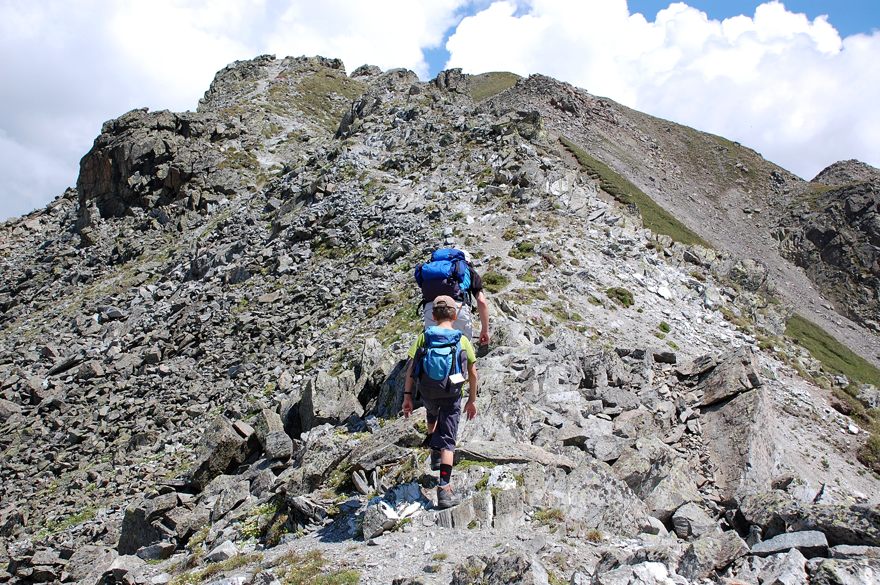
After
getting up to the pass Pedrosschartl, The path follows the ridge and
border between Austria and Italy. First up to Westlichen Mataunkopf,
2888m.
|
|
|
|
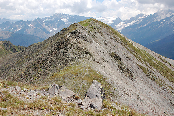
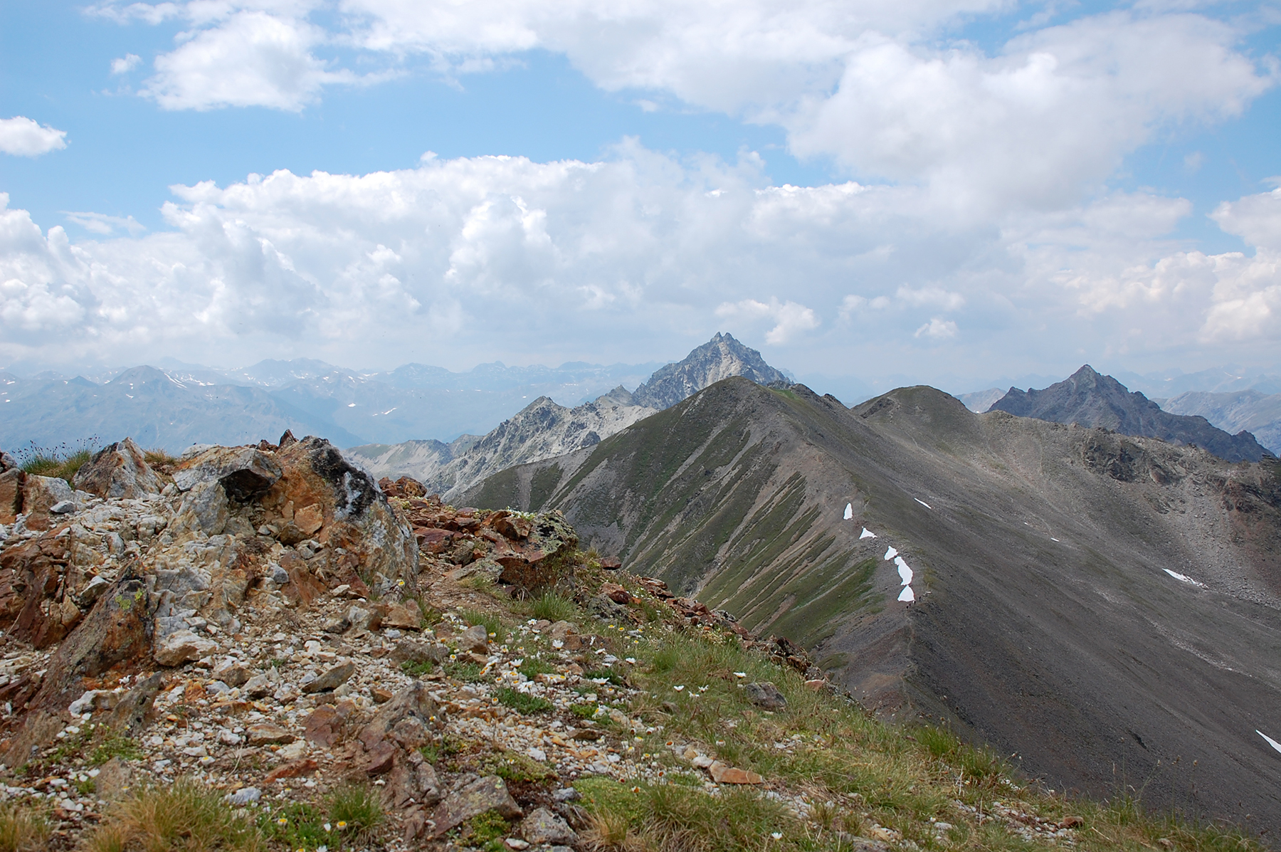
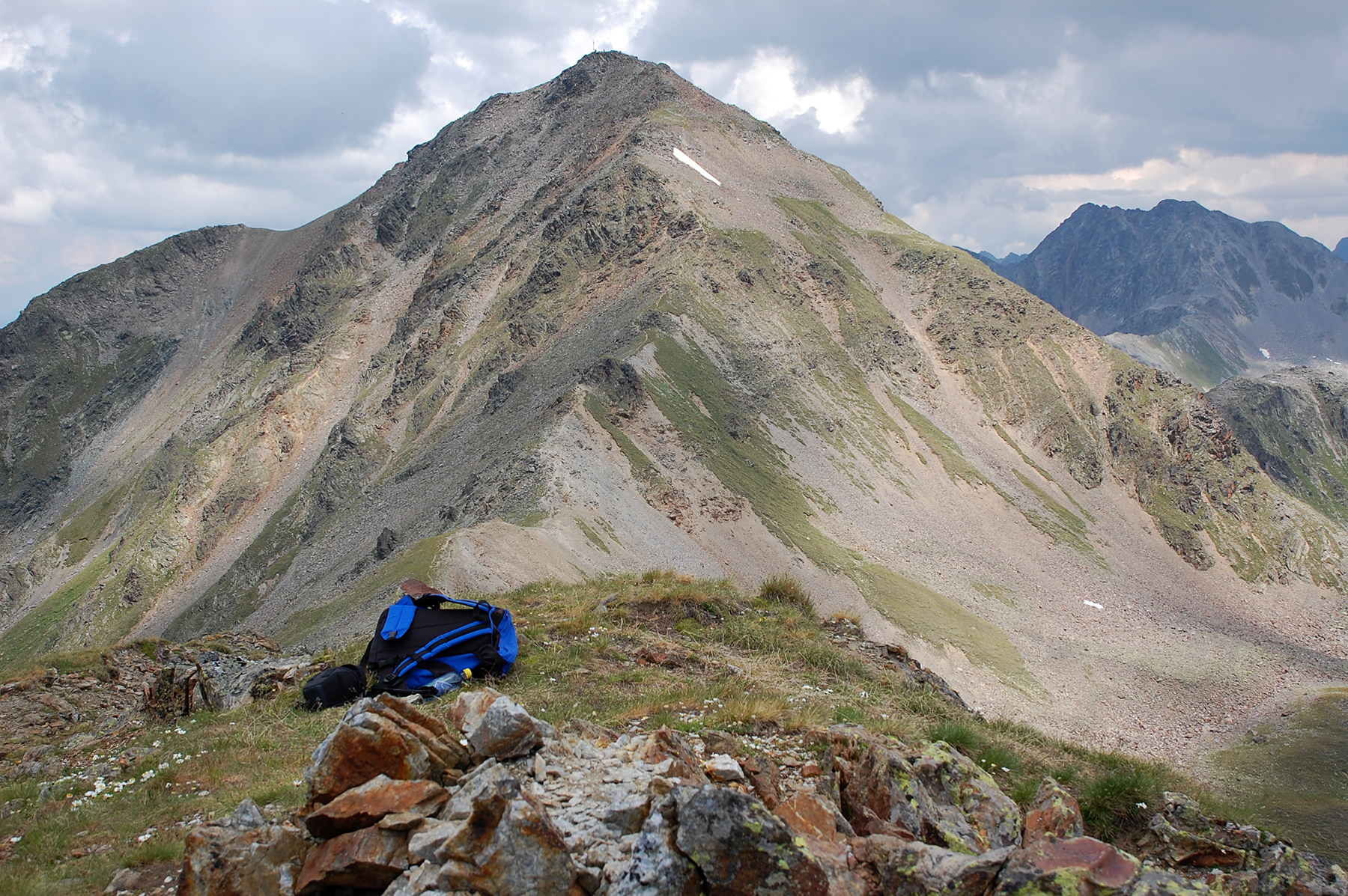
From
here the way along the ridge is visible. To the left
the main target,
Großer Schafkopf, but first you have to
pass Wölfeleskopf, to the right. |
But even before that you must climb
Östlichen Mataunkopf, 2892m. |
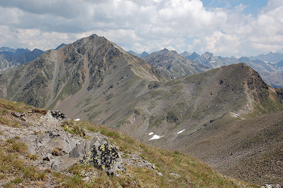
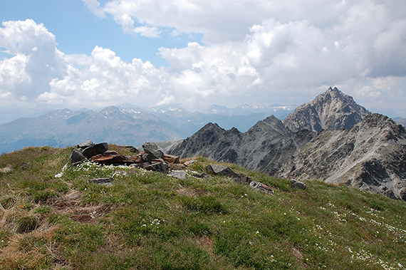
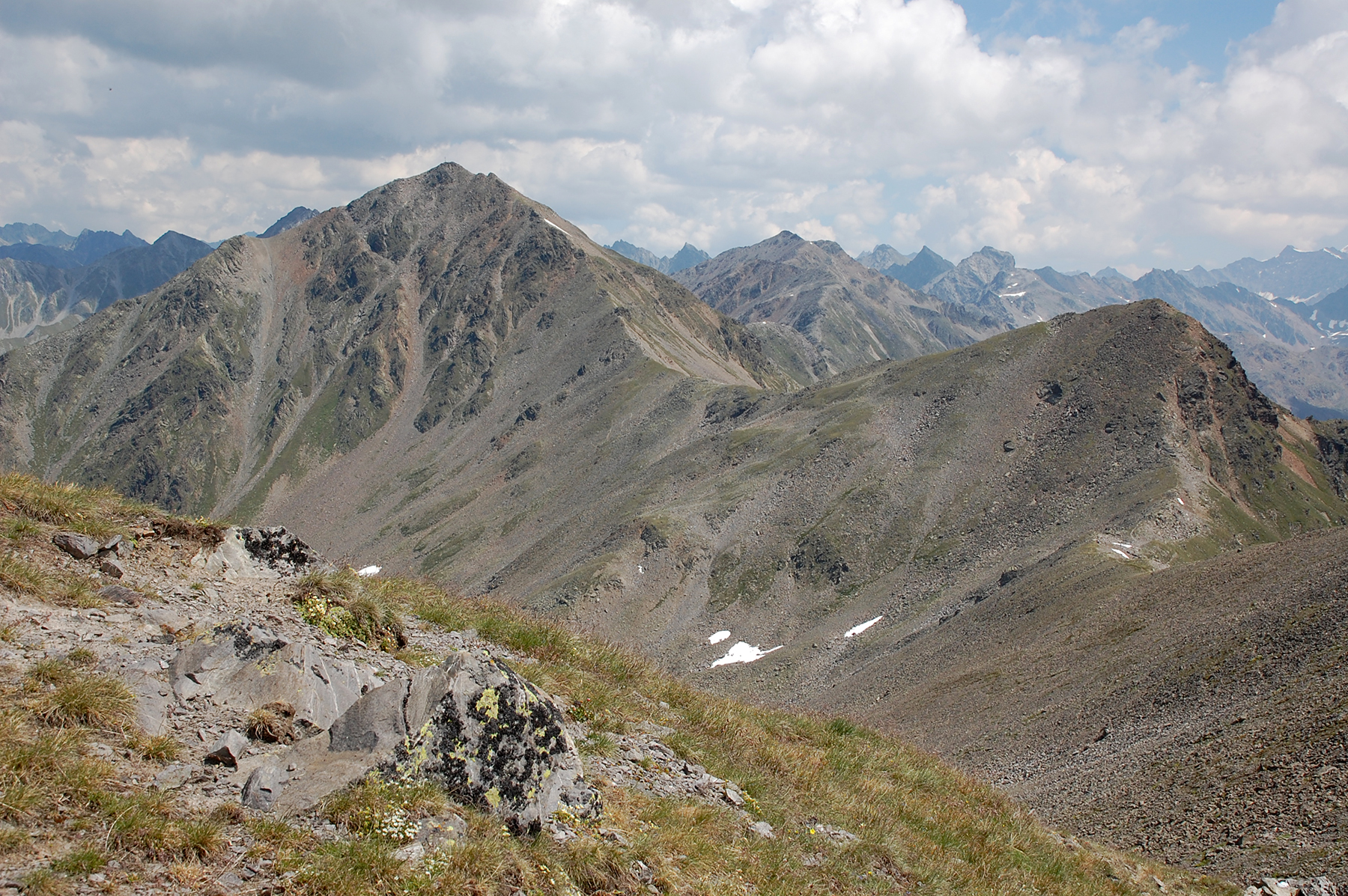
A
look to the south from
Östlichen Mataunkopf.
|

|

|
|
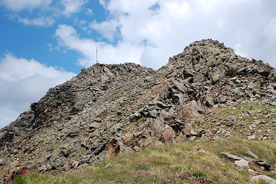
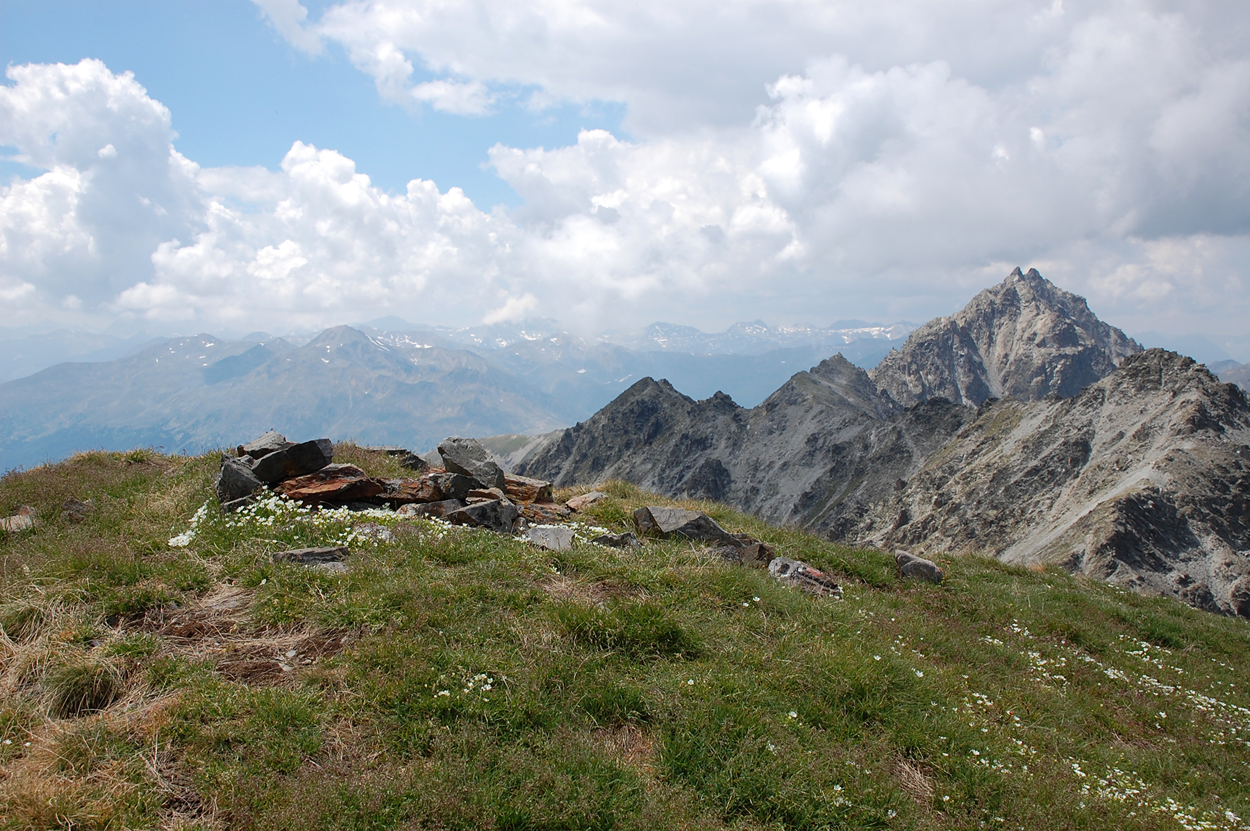
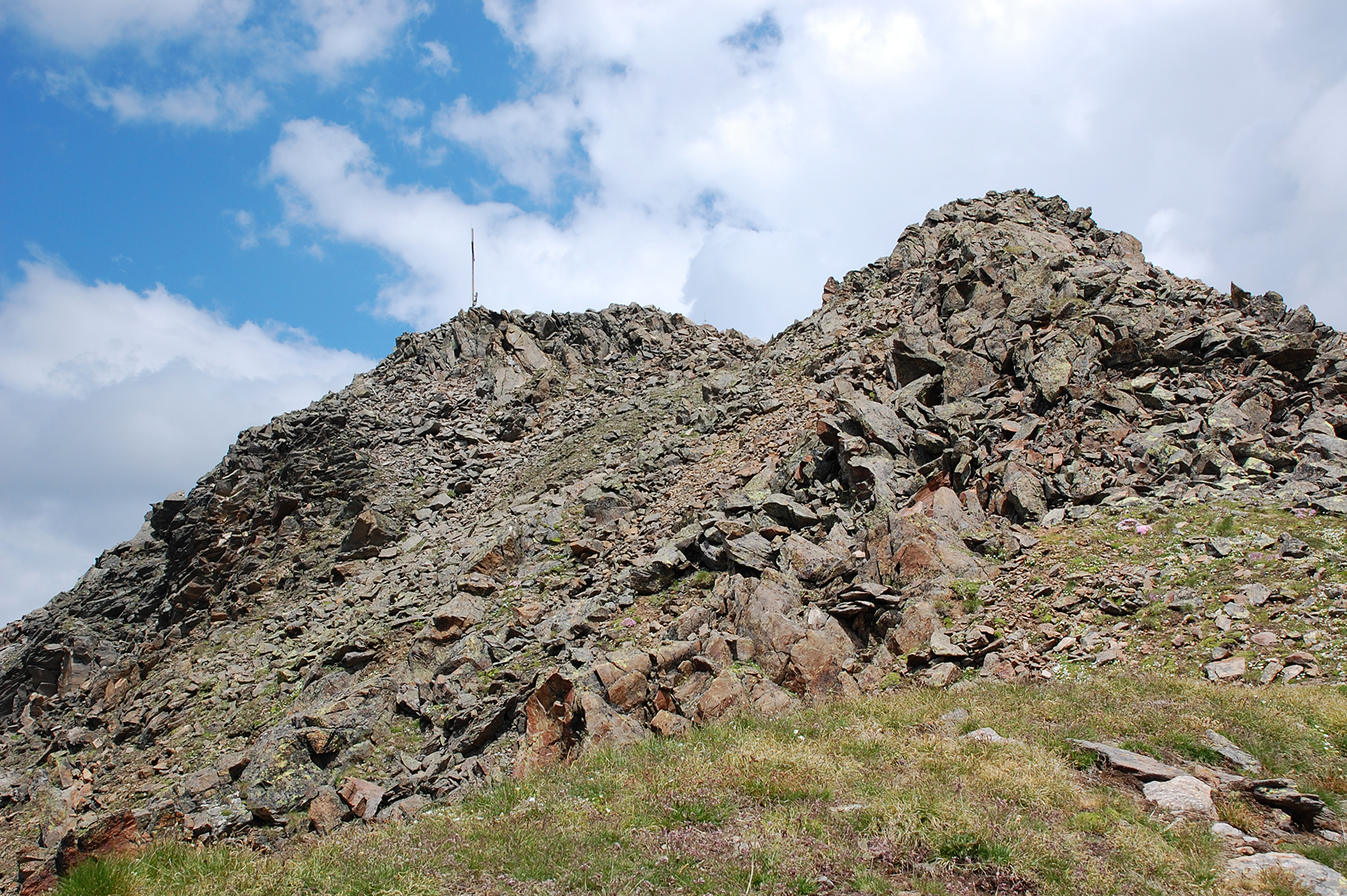
A while later, now on Wölfeleskopf. Here is
Östlichen
Mataunkopf in the middle, and behind it Westlichen
Mataunkopf. |
In the other direction Großer Schafkopf
waits. |
Almost
up there...
|
|
|
|
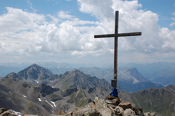
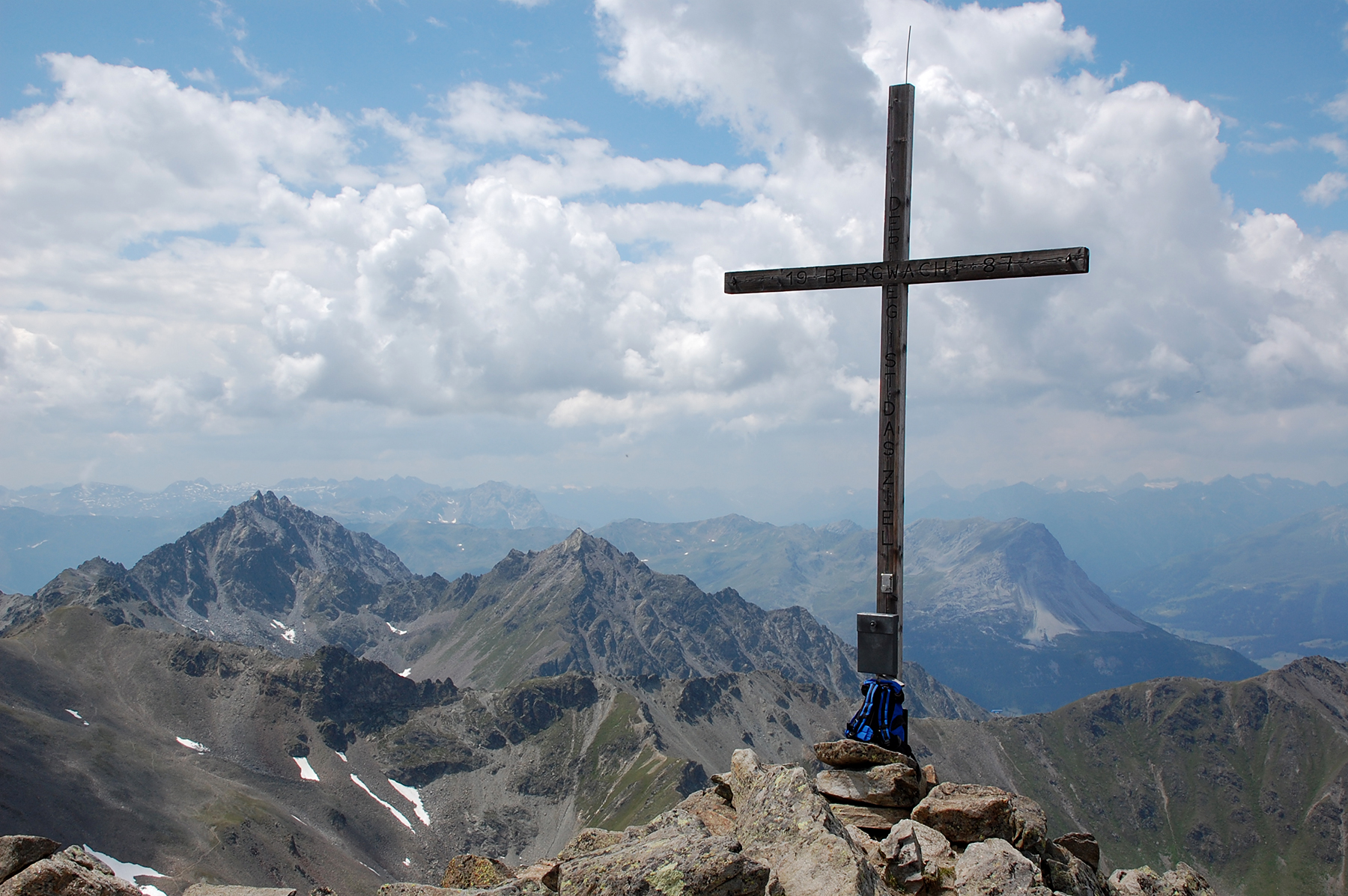
At
last... My gps shows exactly 3000m. The view is very
good, as usual
from a 3000:er. The peak of Piz Lad can
be seen just to the right of
the cross. I descend to the
cableway station through another valley in
about 2h. |
|
|


