 |
 |
 |
As
you approach Hemsedal from the south, the mountains
rise and become more "alpine".
Among the first you see
is the impressive south side of Skogshorn. |
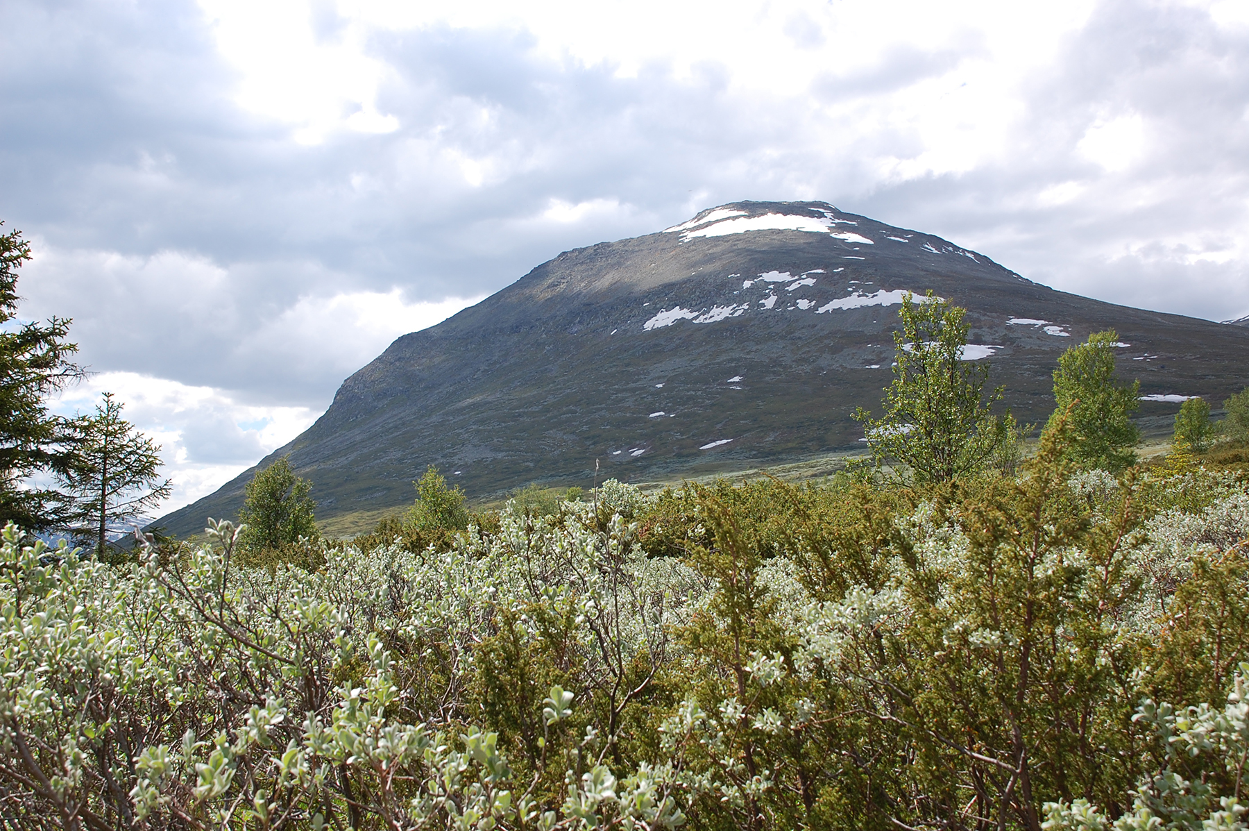
You
leave the parking place at 900m, and first enter a bush landscape. |
In
the other direction the top can be seen. The approach is
to the right side in this
picture, clearly easy. |
 |
 |
 |
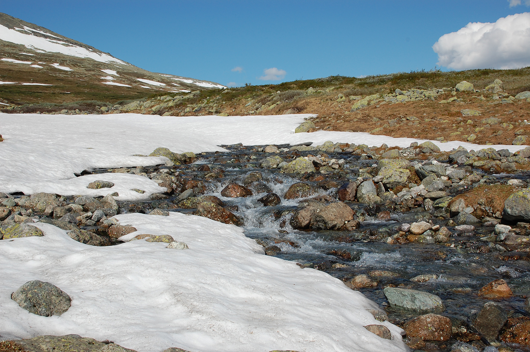
Time
to refill the water bottles. You don't get purer and
colder water than this. |
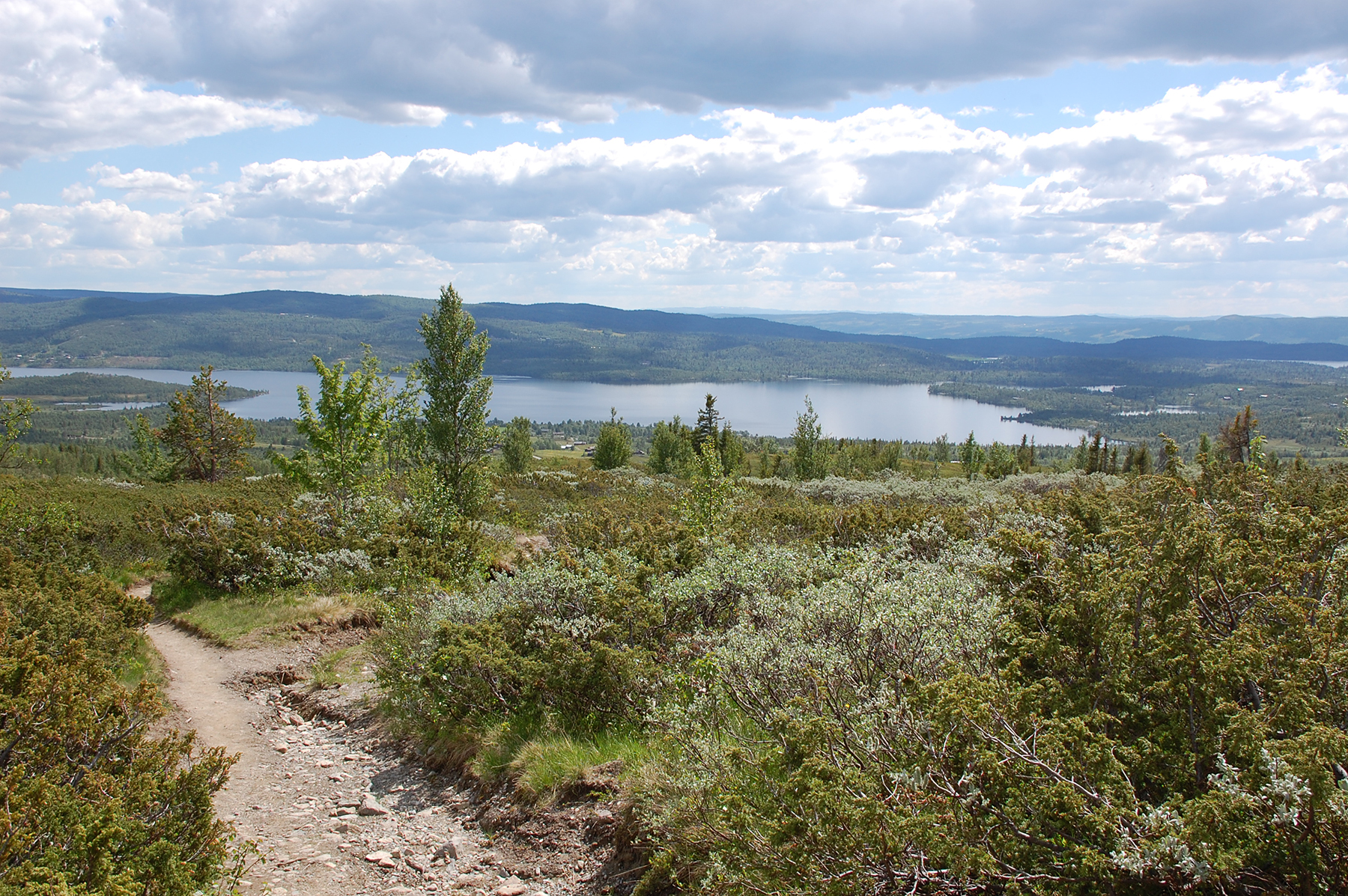
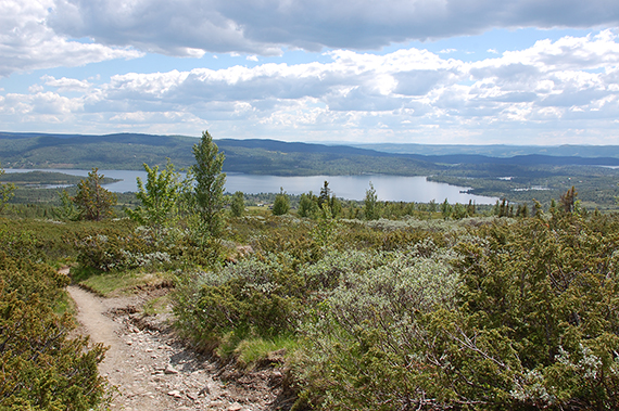
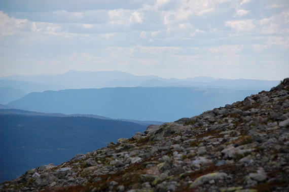
A
view to the south from about 1300m |
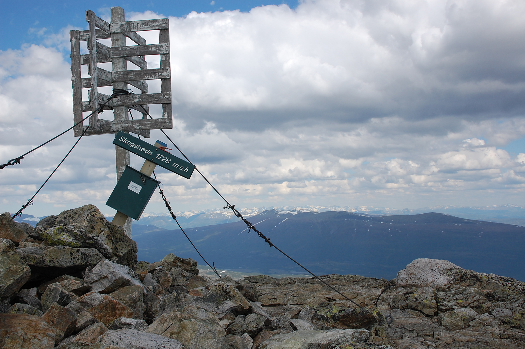
The
summit of Skogshorn is reached without any real difficulties. This
picture is taken to the north, with the snowcovered peaks of
Jotunheimen in the background. |
 |
 |
|
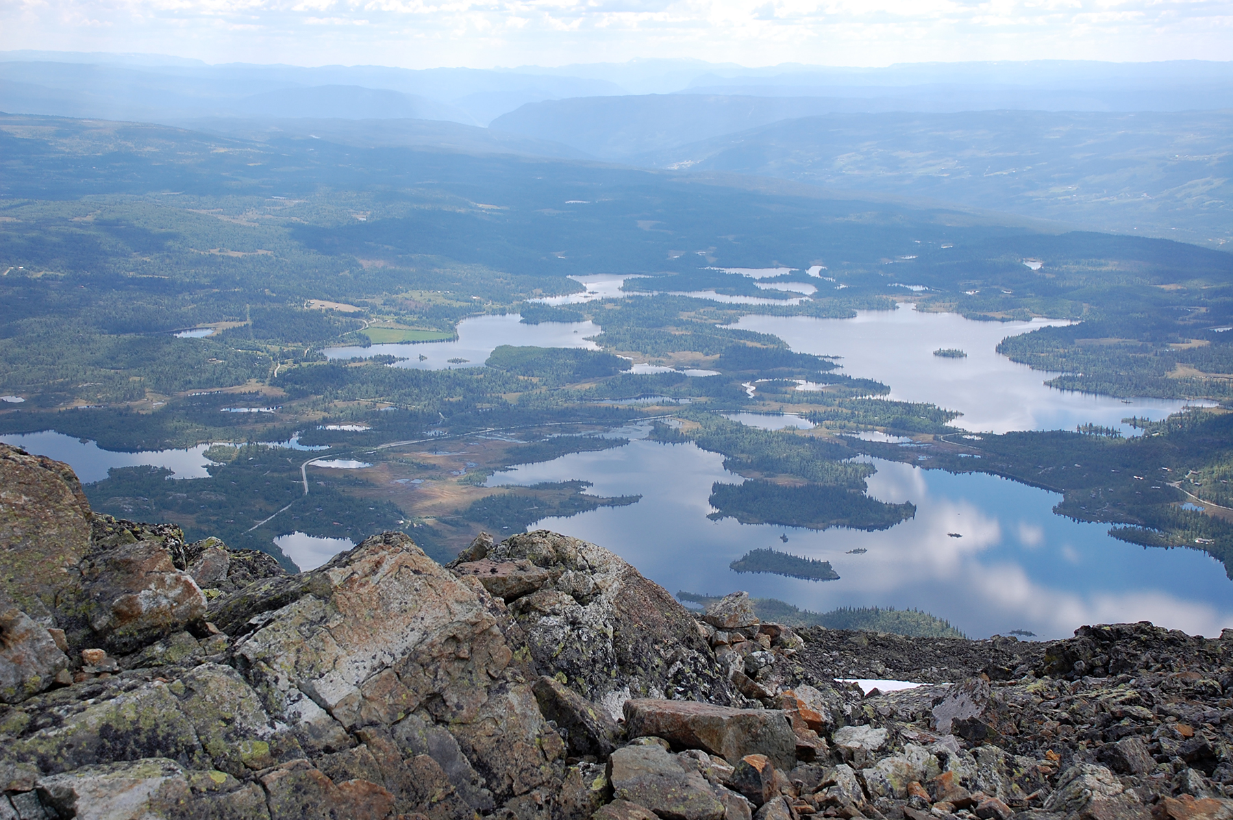
From
the summit you can see Hemsedalen and
Hallingdalen winding to the southeast,
though the
lower mountain areas there. |
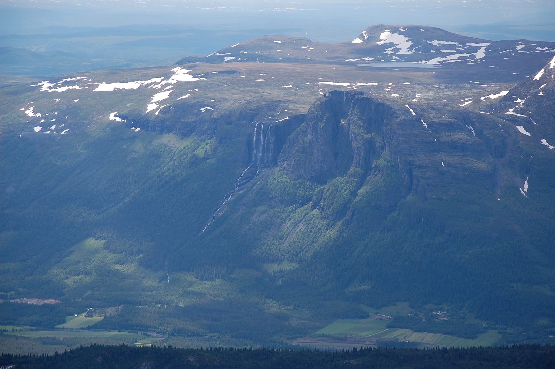
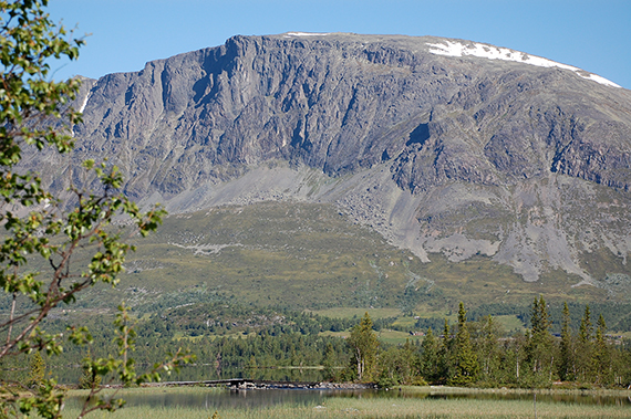
To
the southwest, at the other side of the valley Hemsedalen,
is Veslehorn (1300m) with it's impressive waterfall. |
|