
|

|

|
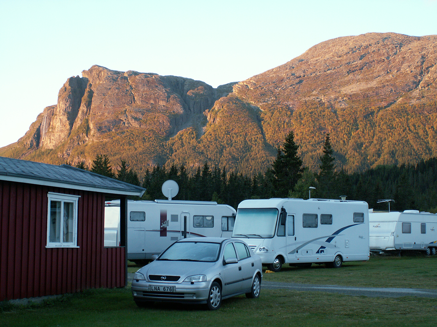
Veslehorn
and Storehorn seen from the camping just
south of Hemsedal. |
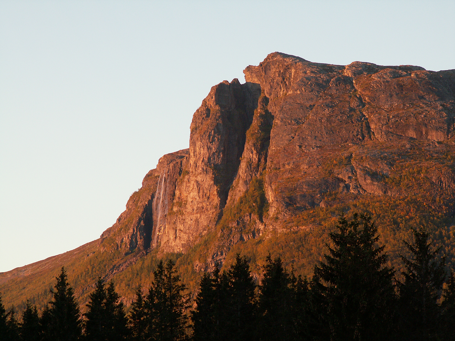
Veslehorn
in the morning light. |
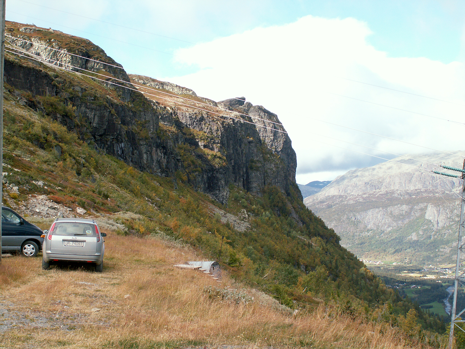
You go by car up
to 1060m altitude on a small road, and there is a parking place.
|

|
|
|
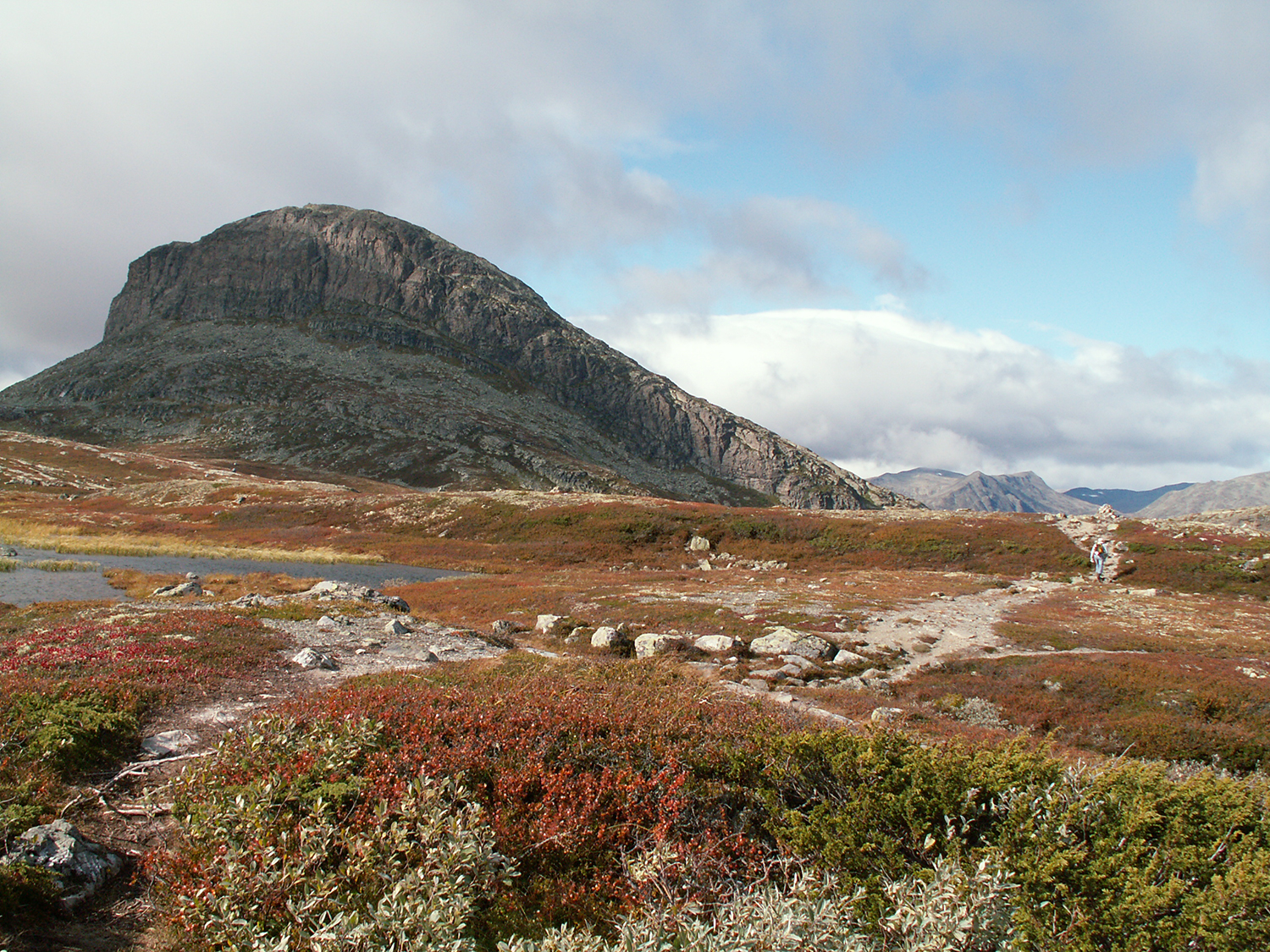
| Up on 1200m.
Storehorn can be seen to the left. |
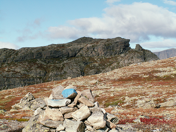
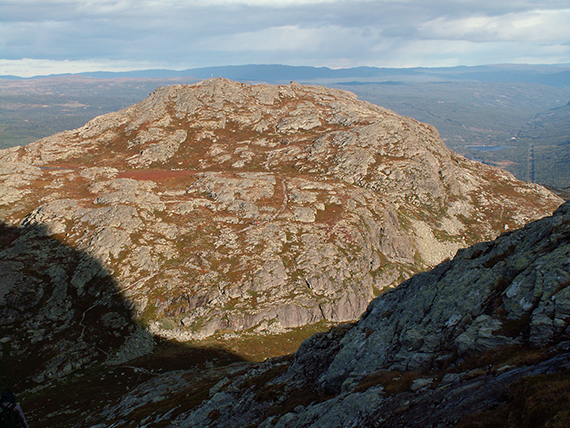
A
little further to the right is the summit of Veslehorn. |
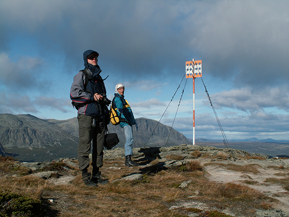
Peter
and Jorma at the summit of Veslehorn, 1300m. It's a bit windy... In the
background, across the valley Hemsedalen is Skogshorn, 1728m.
|
|
|

|
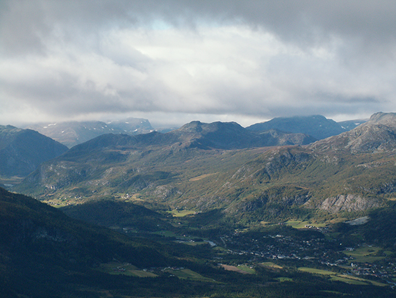
A
look to the north. The mountains rise higher, but
Jotunheimen isn't
visible because of bad weather up
there. The village Hemsedal is to the right. |
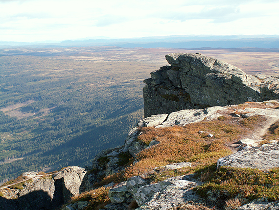
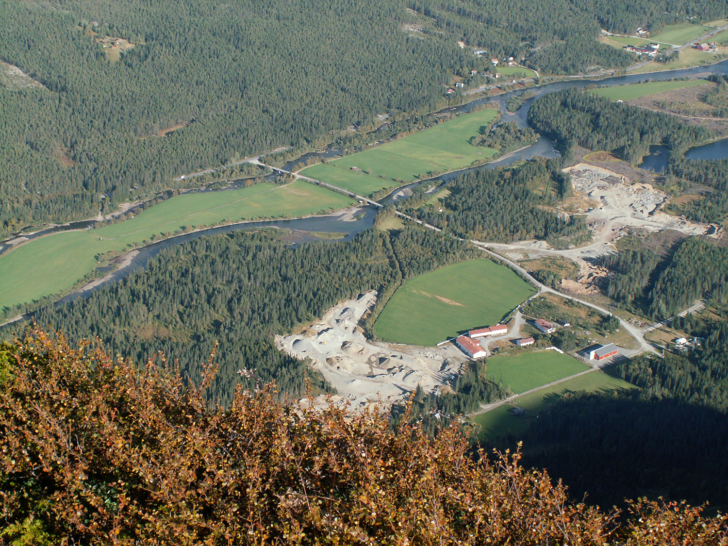
To
the southeast is a much flatter high mountain area. |
The vertical
cliff down to Hemsedalen, 700 m below, is impressive.
|
|
|
|
Veslehorn
i the evening light, seen from the path up
towards Storehorn. This path
is a little steeper, but
means no real problems. |
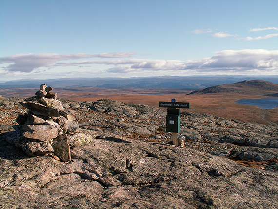
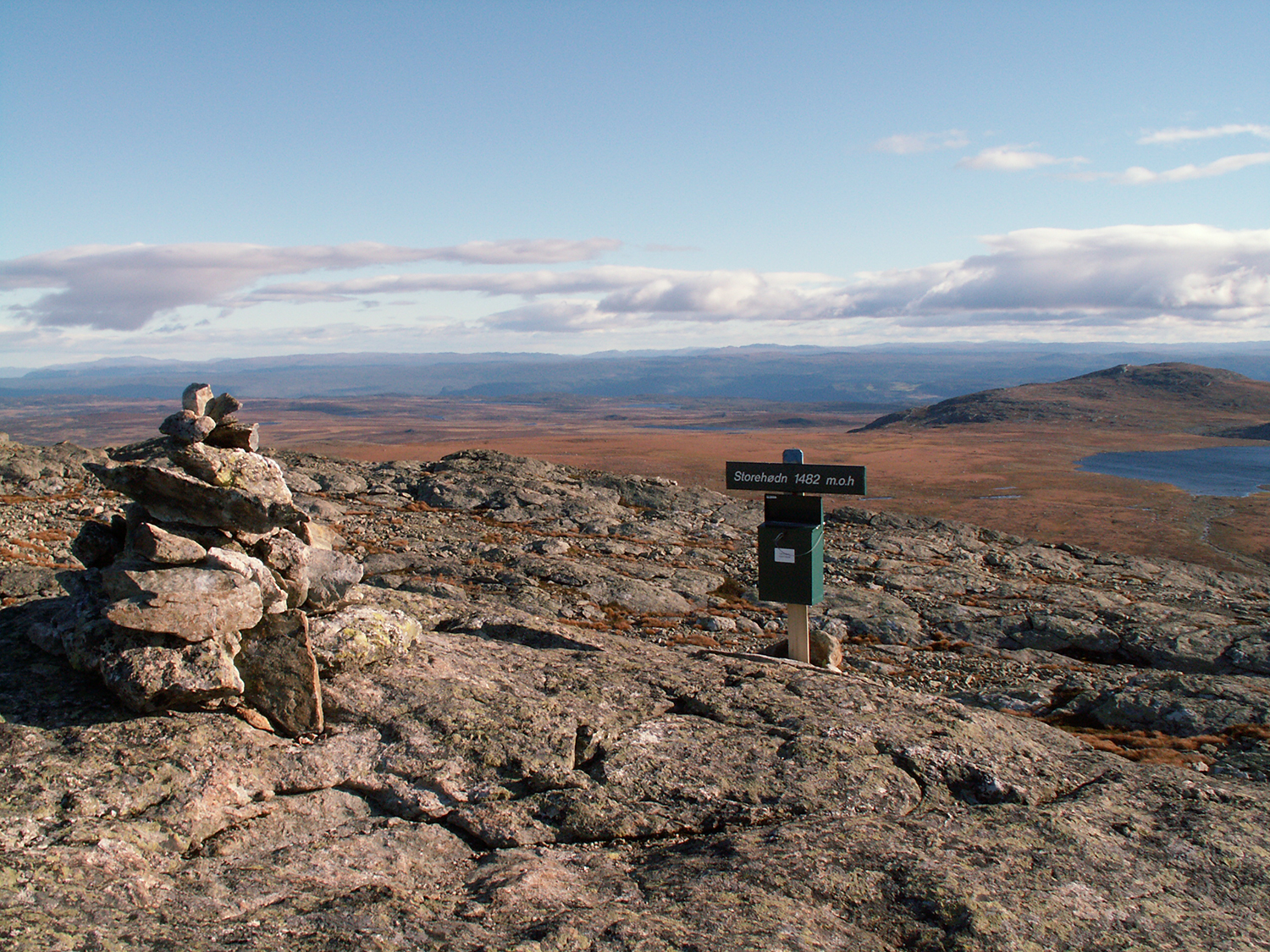
At
the summit of Storehorn, 1482 m. The picture is taken towards the south. |
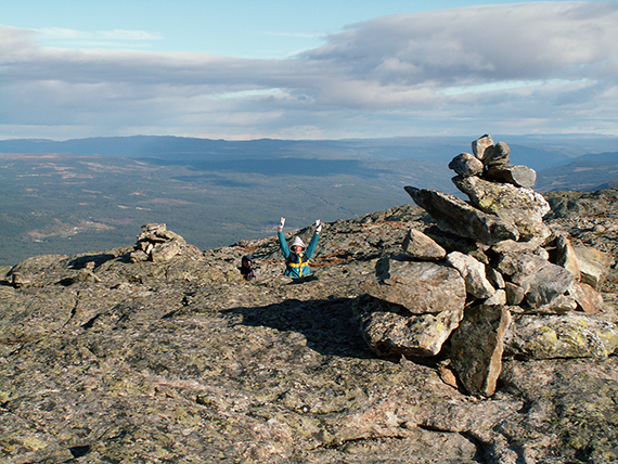
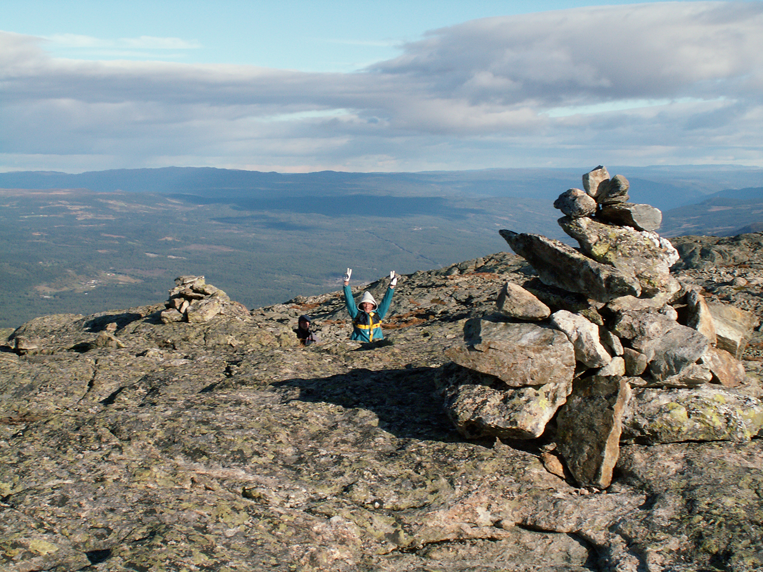
Peter
and Jorma, happy to have reached the summit.
|
|
|
|
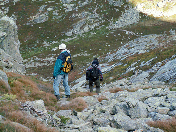
On the
way down from Storehorn, passing the somewhat
steeper part.
|
|
|


