
|
|

|
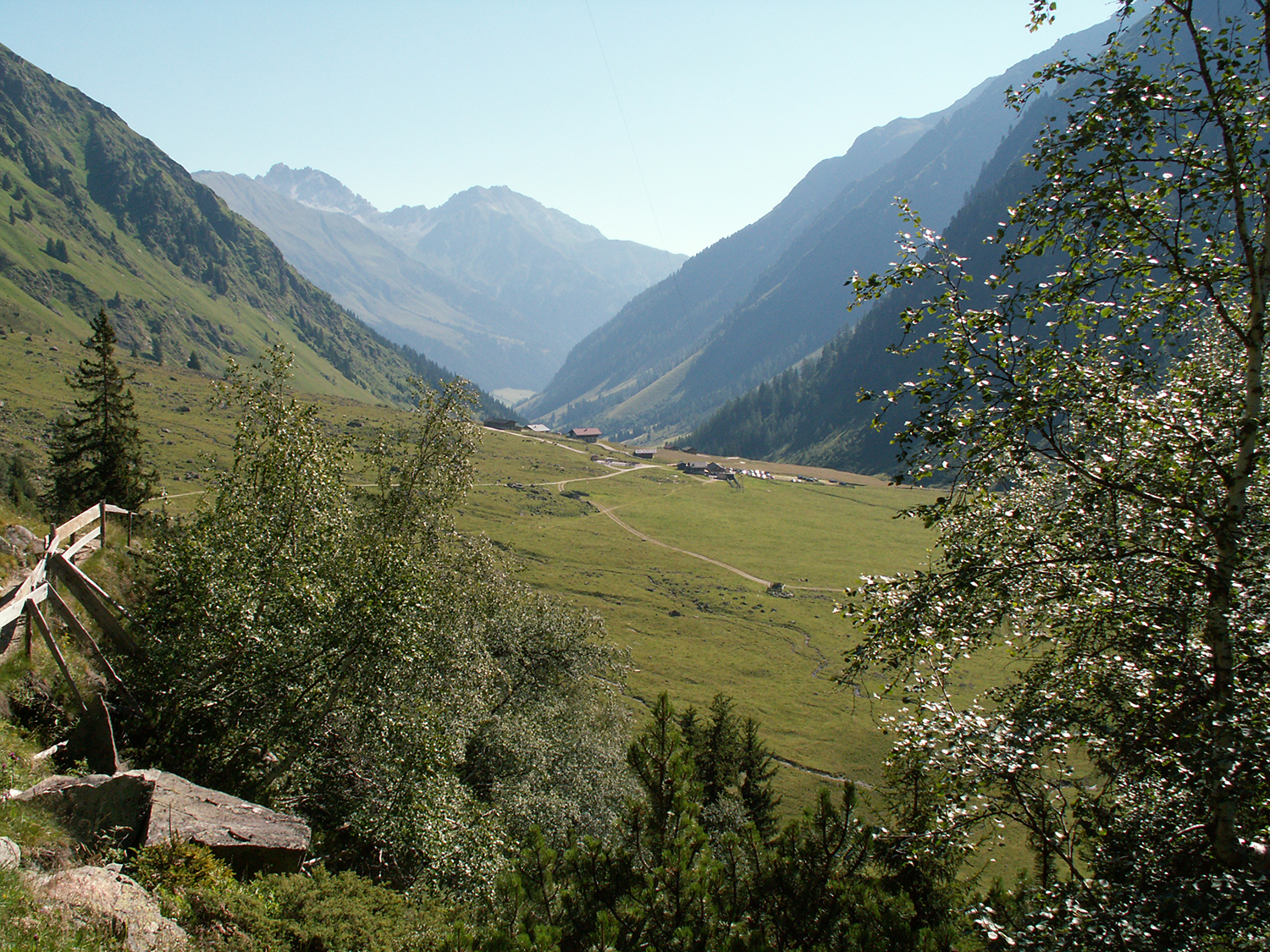
You
go by car into Oberbergtal, a side valley to Stubaital.
The road ends at Oberisshütte (the middle of the picture)
at 1742m where there is a car
parking. The first section
of the path is easy and relatively flat. |
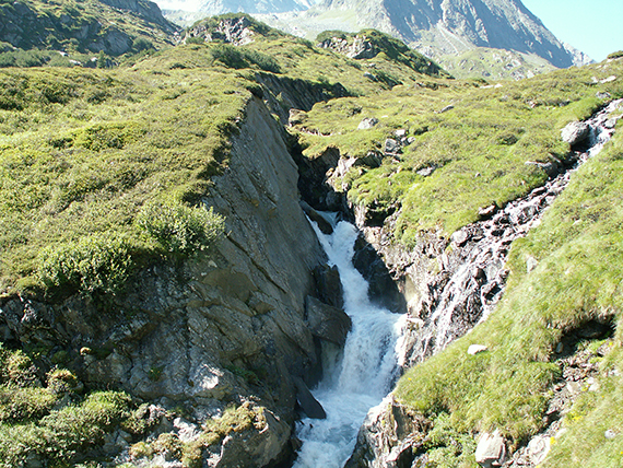
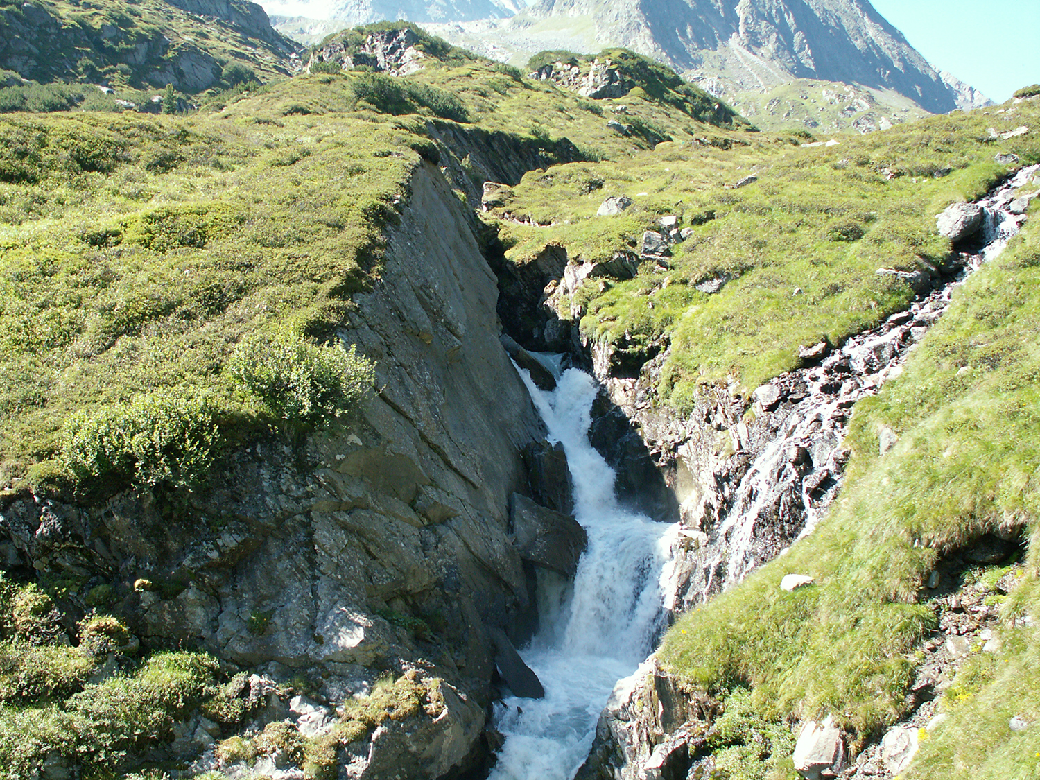
After
a while the path divides into one "easy" and one "difficult". The
"difficult" path isn´t difficult at all but provides
the best wiews and
is shorter but steeper. You follow the stream Alpbach, that throws
itself down the mountain in constant rapids and waterfalls. |
On a little more
than 2000m you pass Alpeiner Alm, where you can order some food if you are tired already.
|

|

|
|
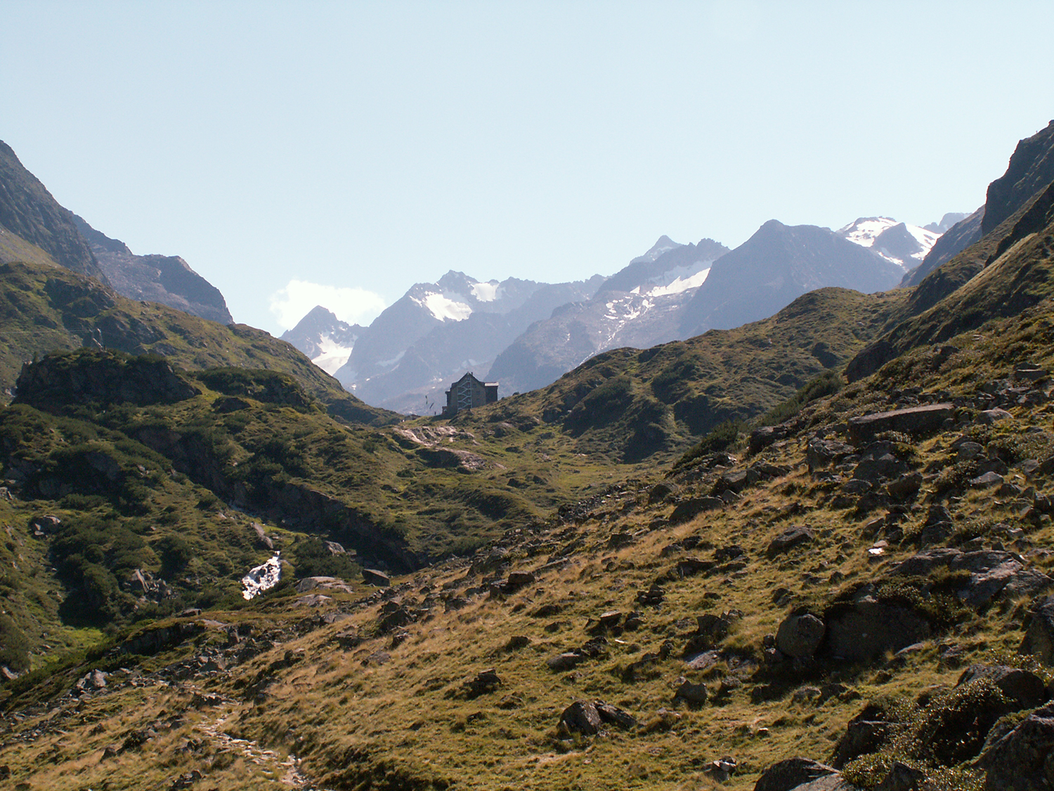
But here is also
Franz Senn Hütte in sight straigh ahead,
about 150 altitude meters
higher. |
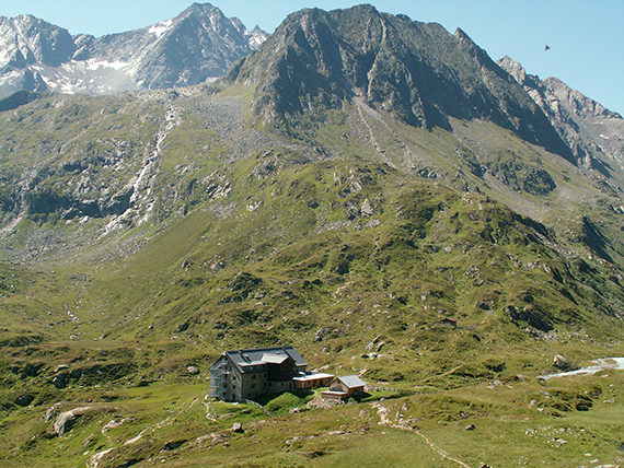
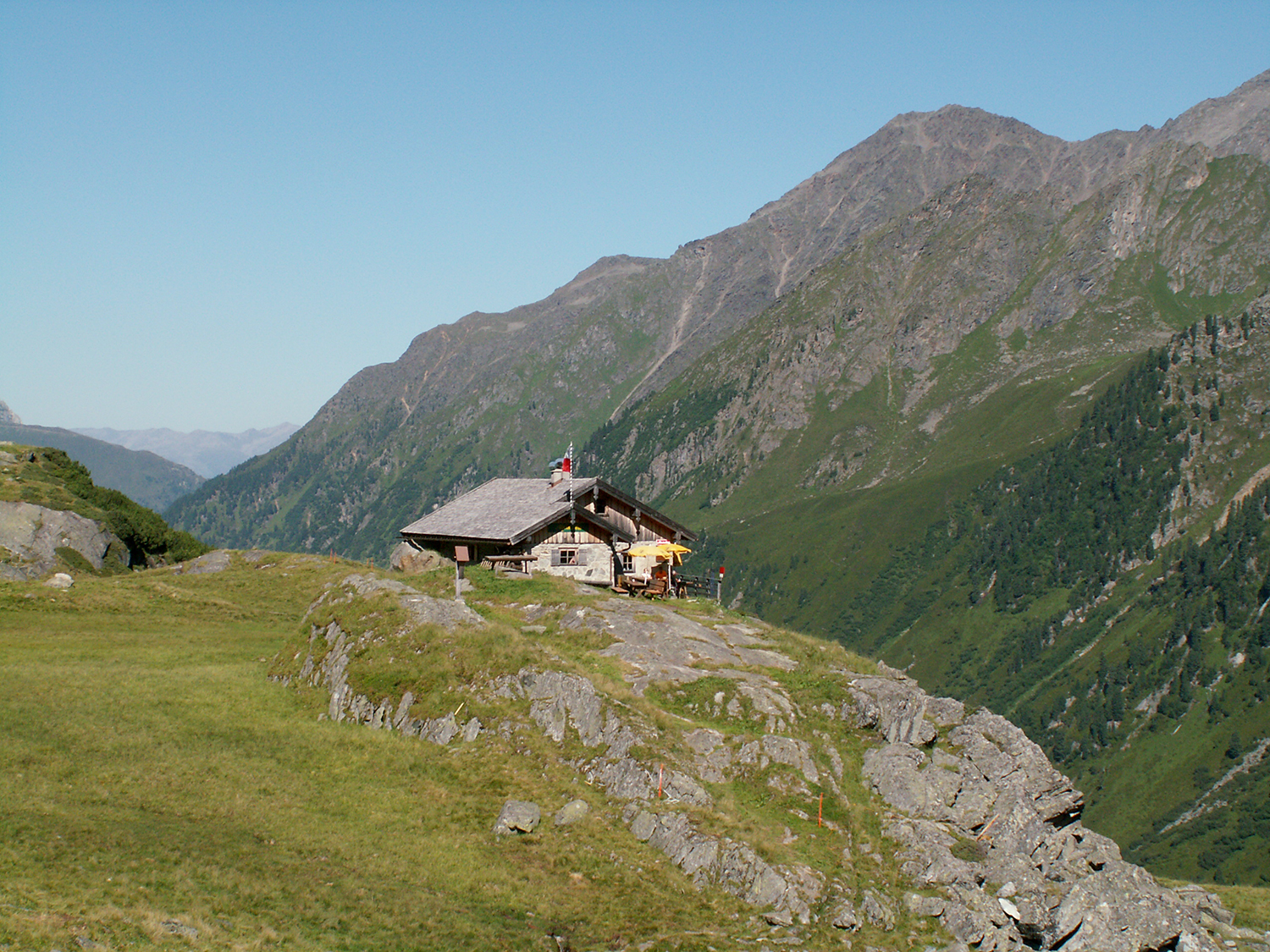
At
Franz Senn Hütte, 2149m, a gathering point for paths leading in all
directions and with various difficulties. This means it is also a gathering point
for many hikers. |
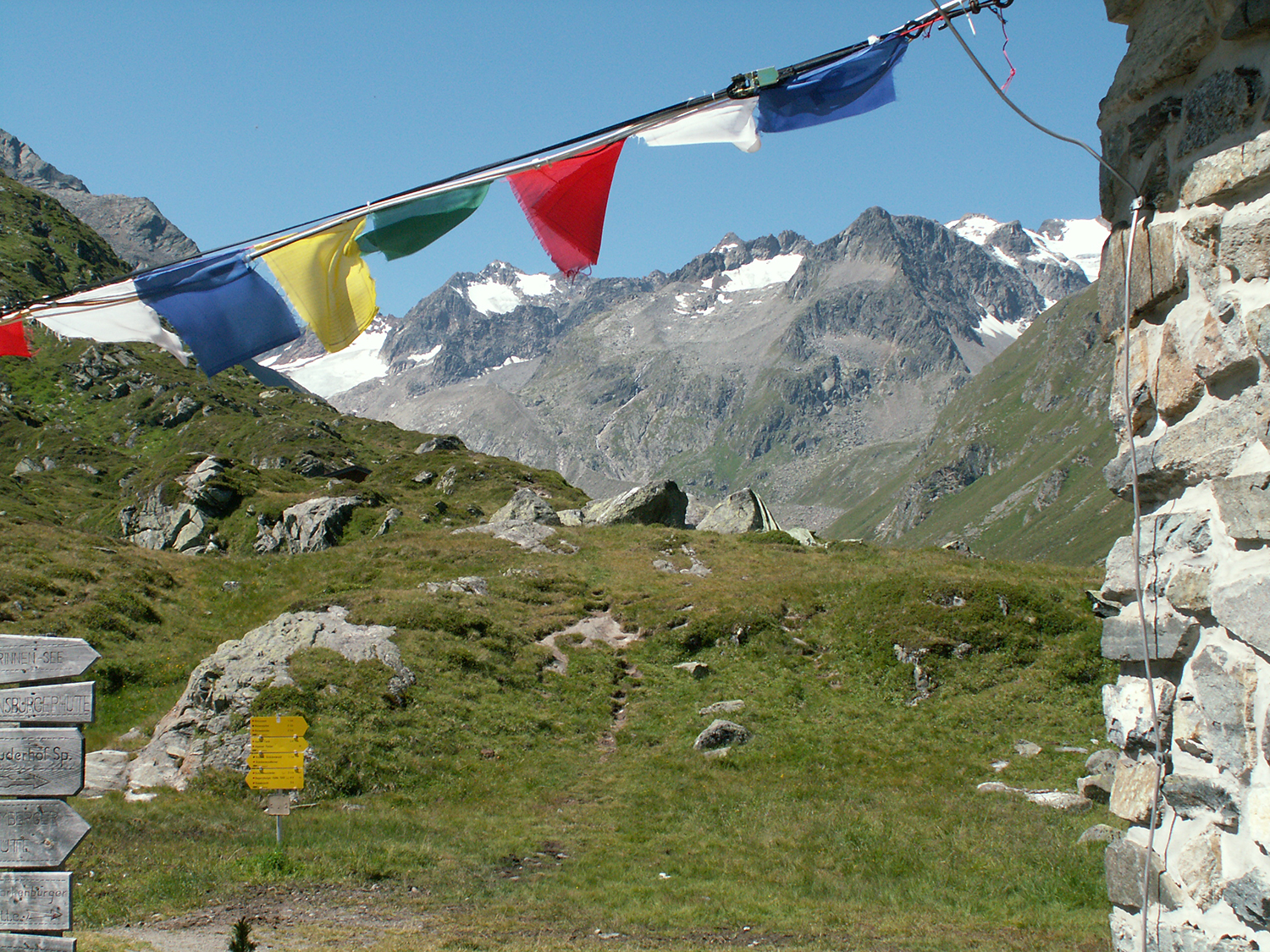
Heading
towards Rinnenspitze, now some 100 altitude meters above Franz Senn
Hütte. The path winds at first, then goes diagonal up the slope.
|

|

|
|
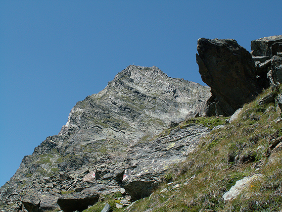
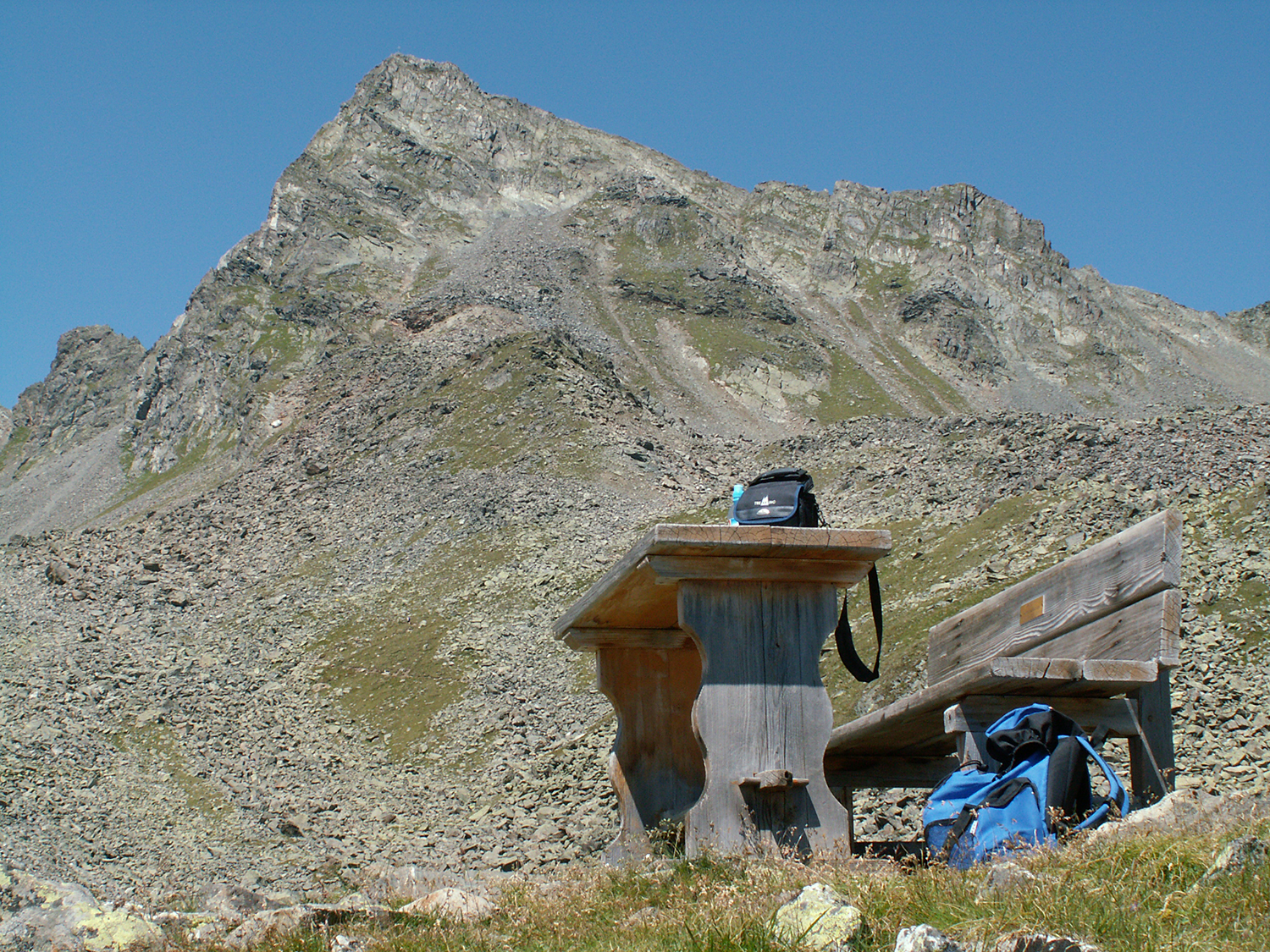
Up
at 2540m there is a wooden table and a bench, once
put there by an
English hiker. Rinnenspitze rises behind. |
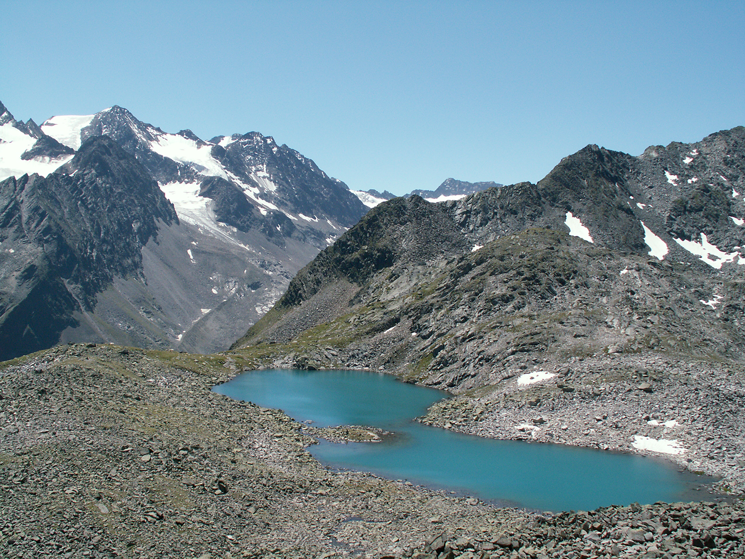
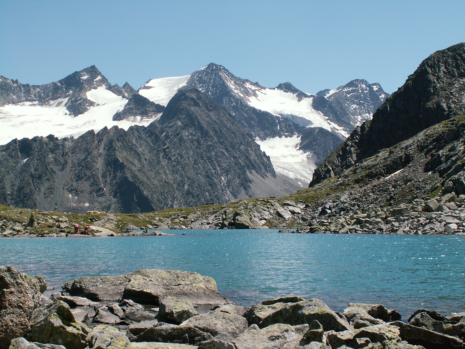
The
lake Rinnensee at 2650m is just at the side of the path going to the
peak. Here it is seen from 2700m. |
From this
altitude it gradually gets steeper and steeper.
|
|
|
|
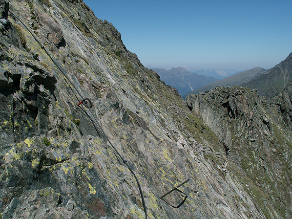
At a little more
than 2900m the real climb begins, with
wire and iron bars for hands and
feet. |
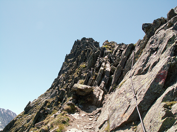
The
last part you follow a narrow rigde to the top. All difficult sections
are well secured with wire and iron bars, but
requires care and
concentration. |
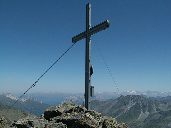
A
fairly simple metal cross is placed on the summit of Rinnenspitze,
3003m. The summit is small, just a few
meters in all directions with
steep slopes.
|

|

|

|
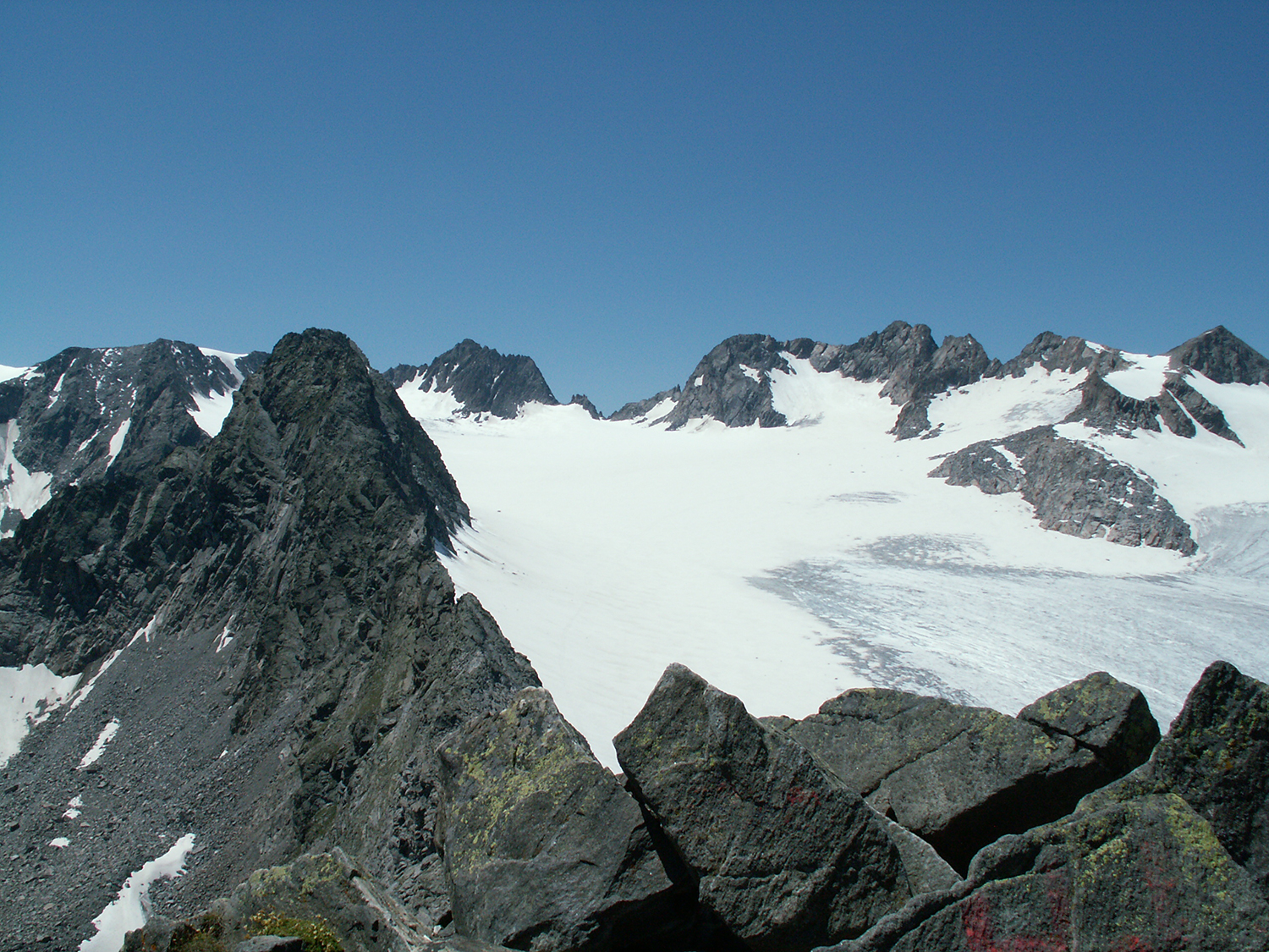
In the
other direction is the glacier Lüsener Ferner, 300m
under the peak with
an almost vertical cliff down, a mighty
sight.
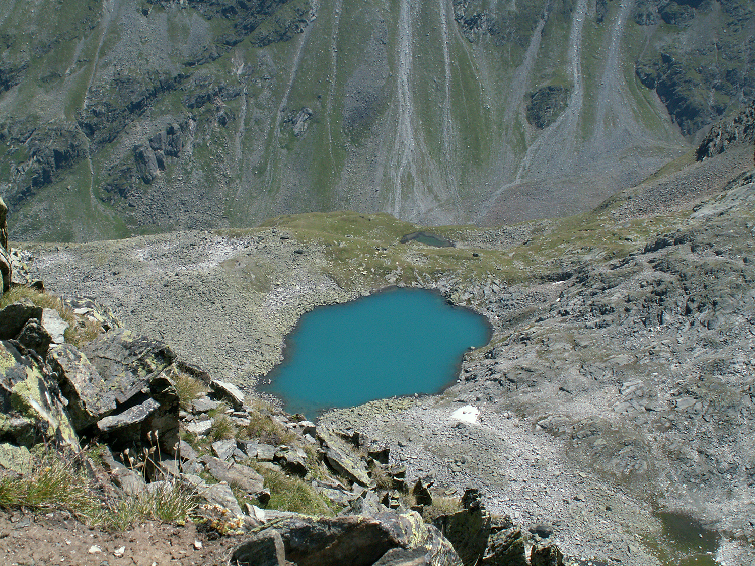
|
Rinnensee
seen from the peak.
|
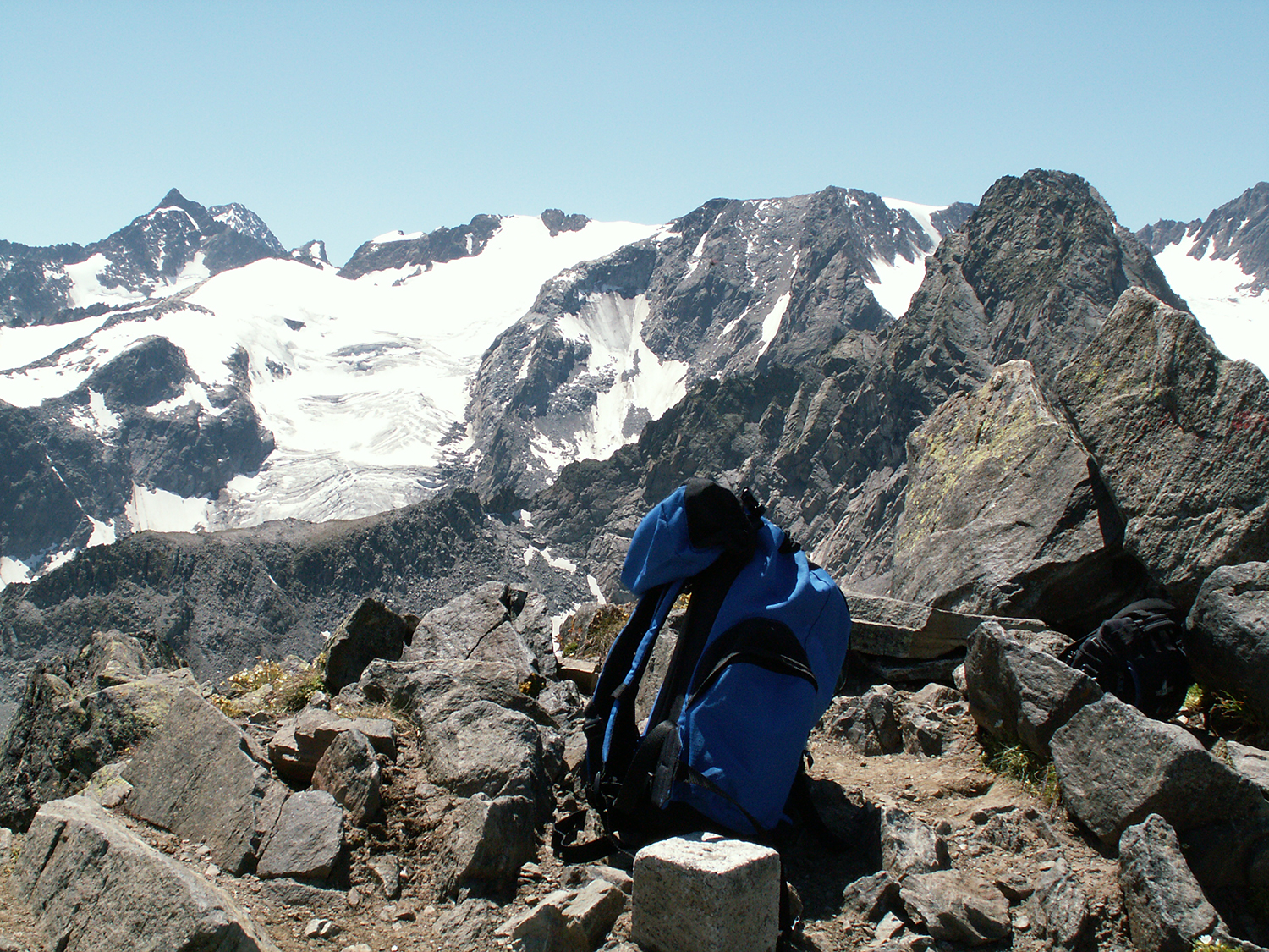
It is
difficult to describe the feeling up here, but i believe this picture
gives a hint. However,
this is a fairly demanding 3000-meter peak to climb.
|

|
|
|
On the
way down I take a few extra minutes to go to
Rinnensee for a pause
there. It is well worth a visit.
|
|
|


