|
|
 |
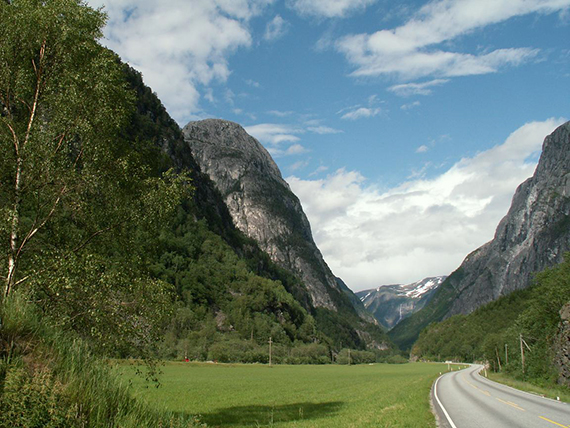
Jordalsnuten
in the middle, seen from Nærøydalen close
to Gudvangen. Quite an
impressive mountain.
|
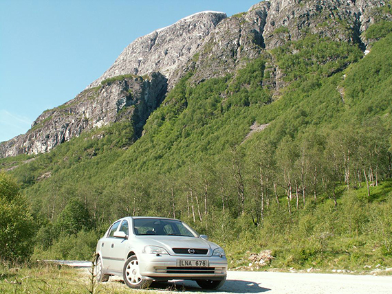
You
go by car a little bit up into Jordalen, through two
tunnels. It is
steep uphill and the parking place is at 435m.
I help a flock of cows,
who have lost there way into the
tunnel, to get out of there with my
carlight. They later thank
me by licking at my car while I am on the
mountain. |
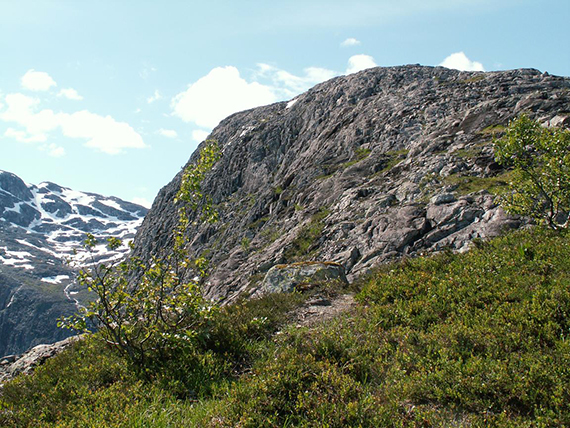
The
trail can be
hard to find. You go through the forest steep uphill to a sadelpoint at
830 m. From here you can see Jordalsnuten with some 100 altitude
meters left.
|
|
|

|
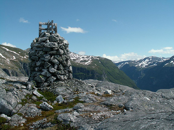
| The summit of
Jordalsnuten, 937m (my GPS says 944m). |
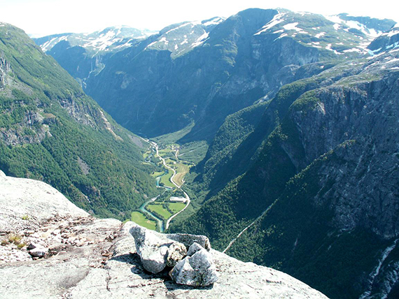
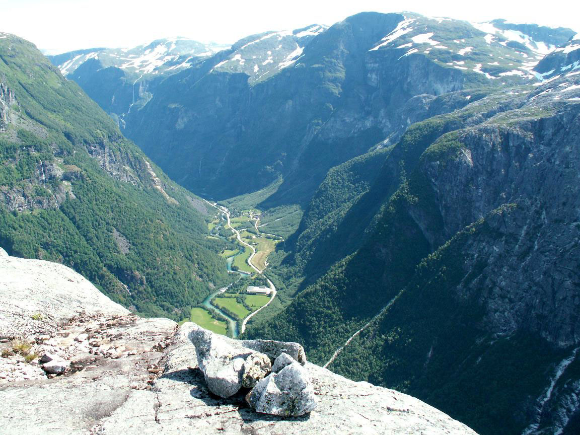
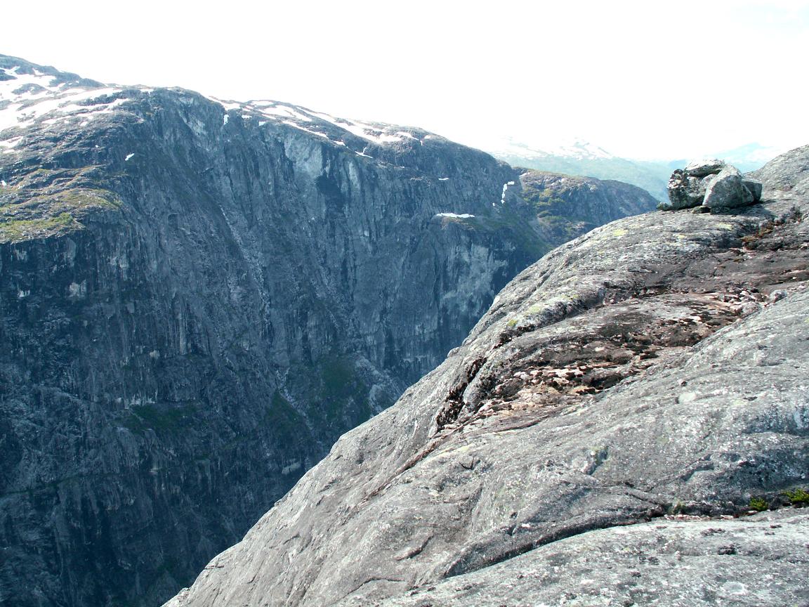
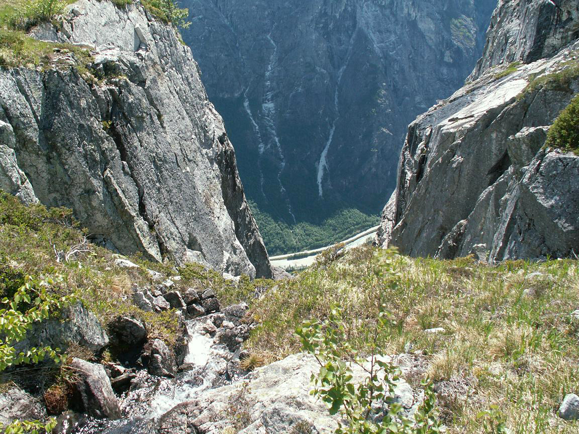
The
wiew down Nærøydalen is breathtaking. The picture
can only give a hint
of how beautiful this is. |
At some places
it looks as if someone has used a huge knife and carved out the valley.
|
|

|

|
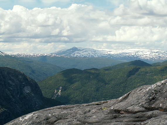
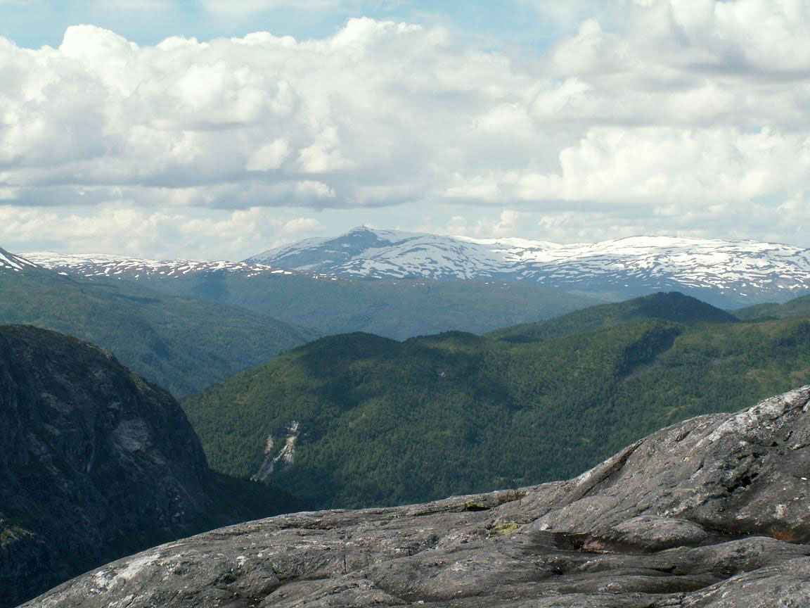
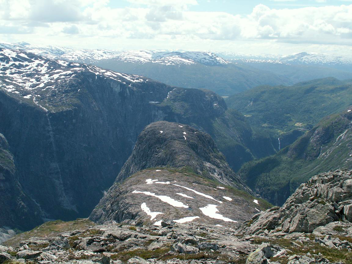
About
30 km to the southwest you can see the
characteristic mast on the top of Lønahorgi, 1410 m close
to Voss. |
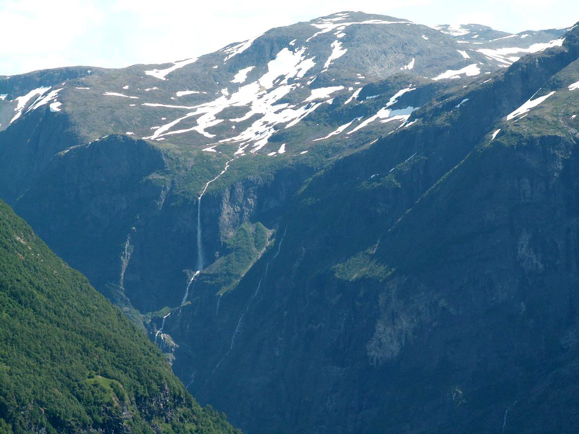
A
small waterfall in Nærøydalen. |
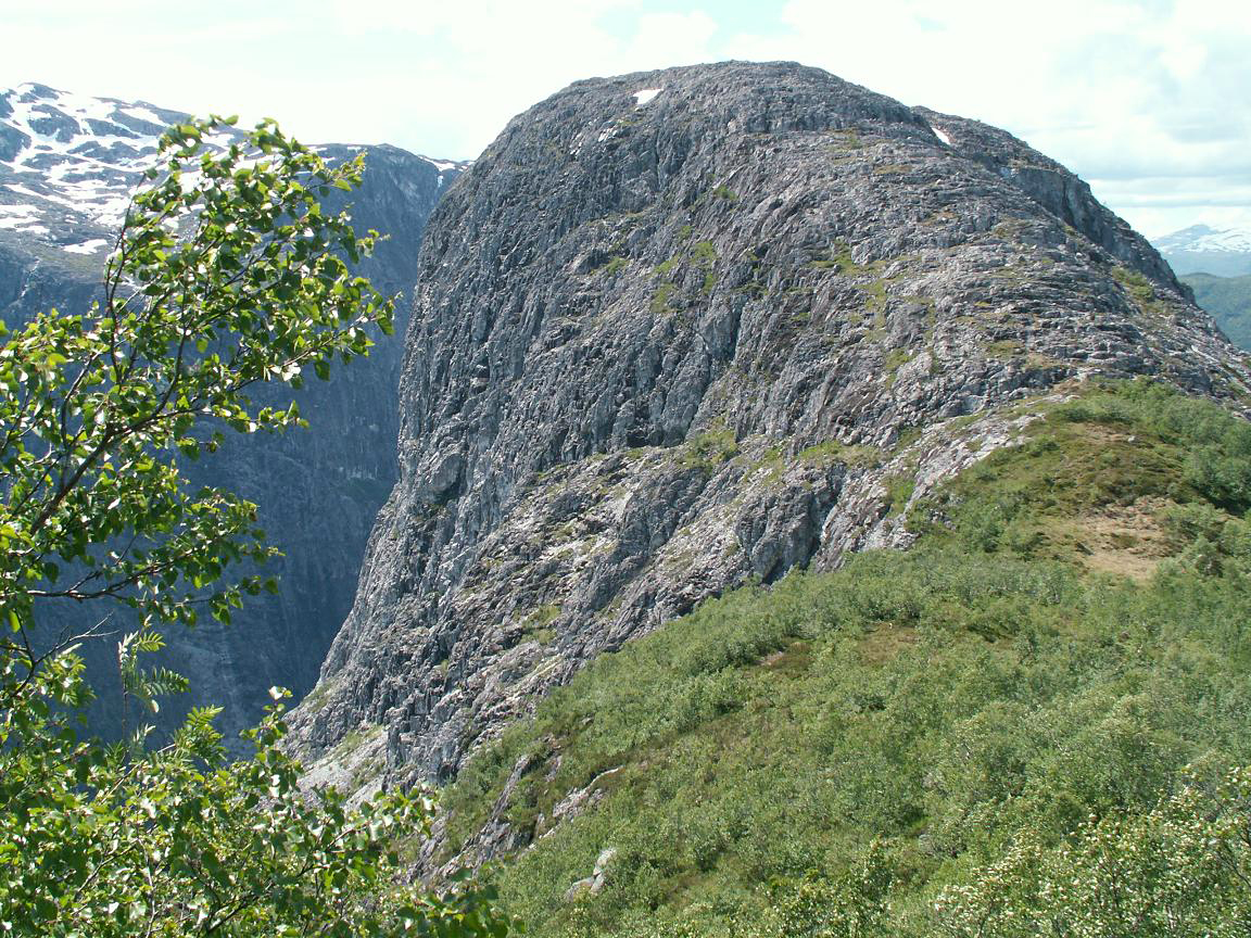
The trail goes
back to the sadelpoint and up towards Vardanosi. Here is a look back towards Jordalsnuten.
|

|
|
|
| Running
water, an excellent time to refill the waterbottles. |
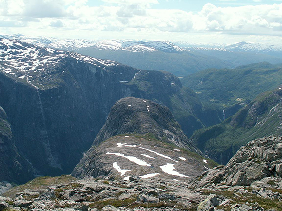
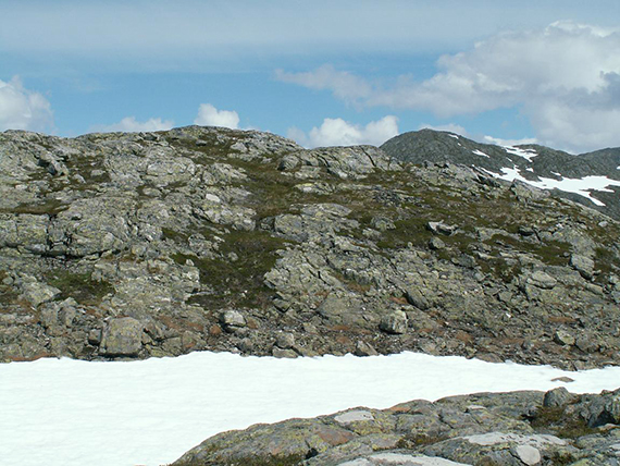
About
halfway up towards Vardanosi Jordalsnuten looks like this.
|
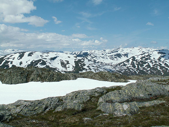
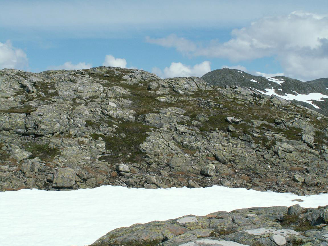
There
is a lot of snow on the mountains.
|
|
|
|
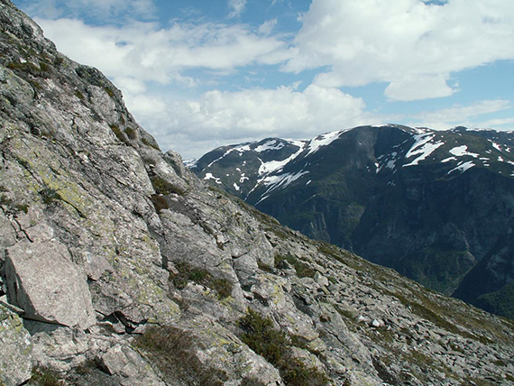
The
slopes towards Vardanosi are rather steep at some
places (this is not
the steepest) and some scrambling is
needed. |
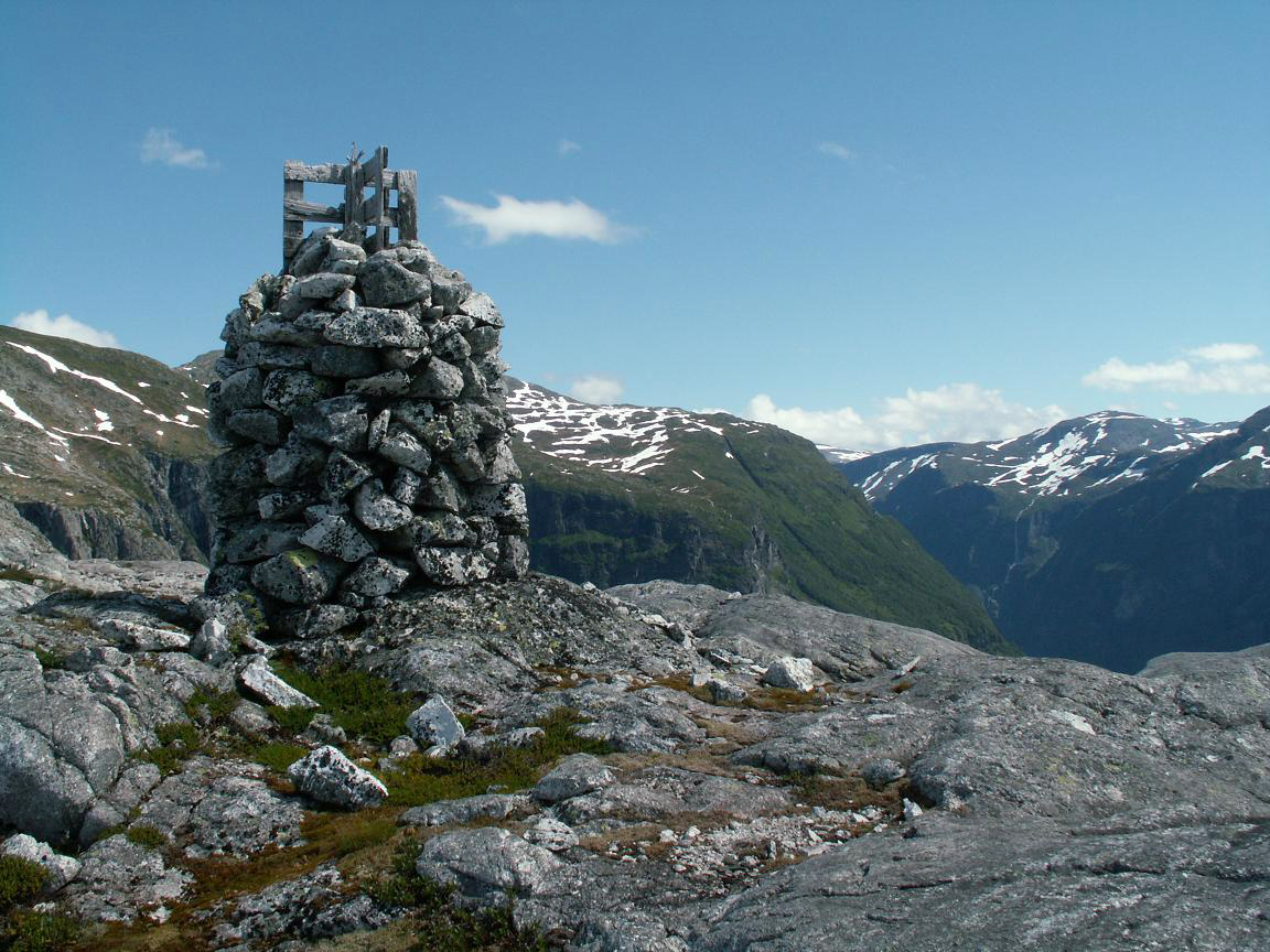
The
peak is on a relatively flat area and rather insignificant. Here is no
cairn or anything. In the background, a little to the right is
Solbjørgonipa, 1465m. |
|


