
|

|
|
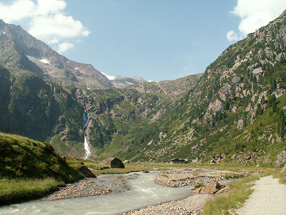
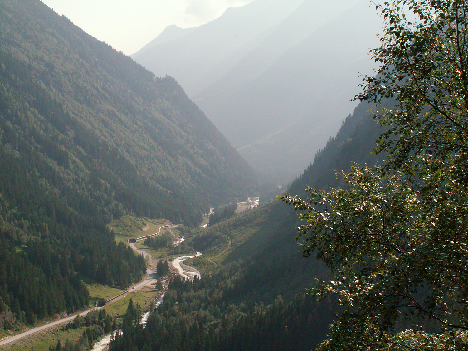
The
walk starts deeply into Stubai valley, on more than
1500m altitude,
close to the Grawa waterfalls. First a
number of winds higher and higher over
the valley.
|
Higher
the alpine world opens up ahead. Here I start to
feel where I am heading. |
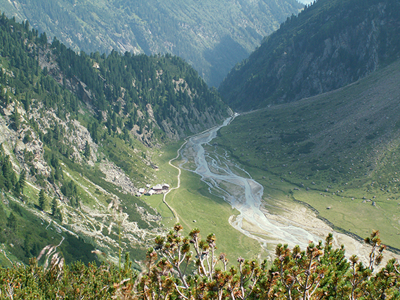
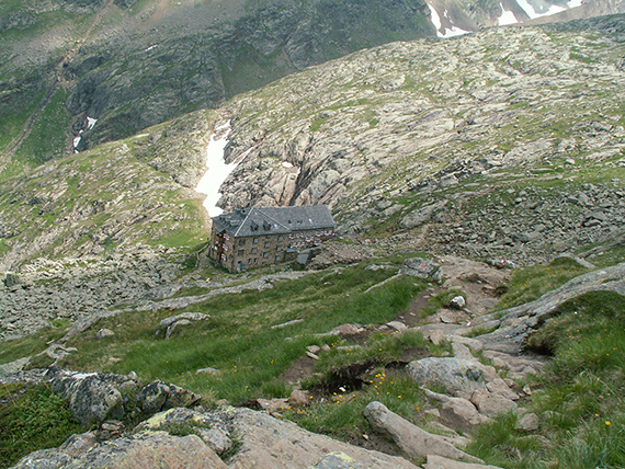
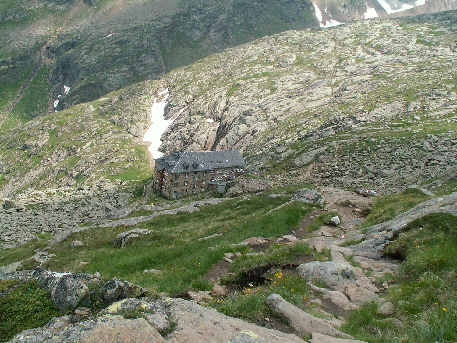
Sulzenaualm on
some 1800 m is reached after less than one hour. Above the steep slope is Sulzenauhütte.
|
|
|
|
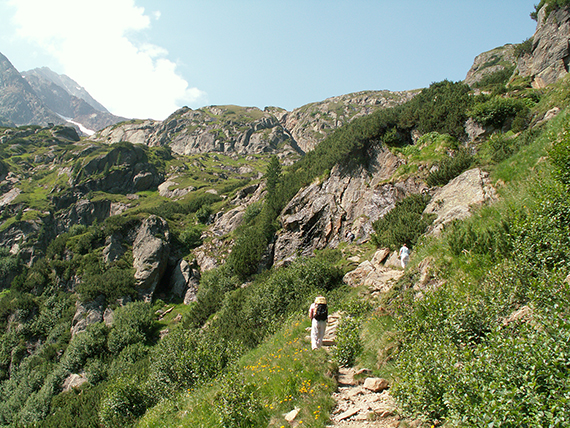
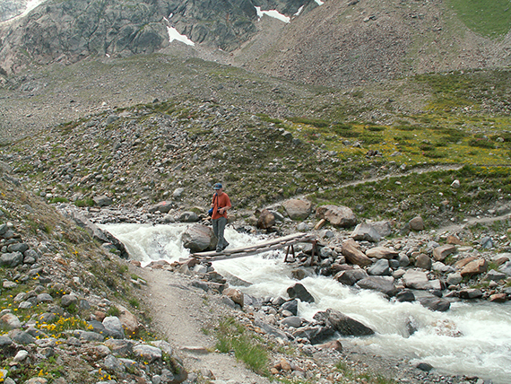
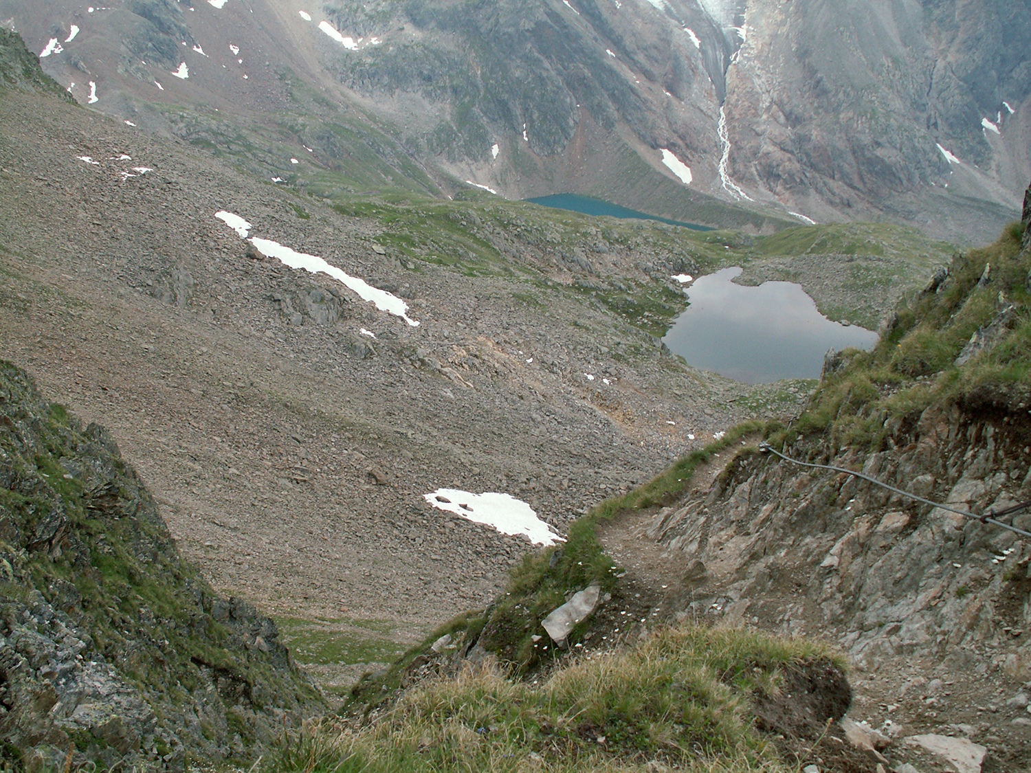
Continuing
upwards. Risk of falling stones makes you not
slow down on the path. |
Almost
at Sulzenauhütte. A glance back towards
Sulzenaualm. |
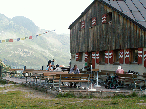
At Sulzenauhütte
on 2191 m. I fill up my water bottles and rest for a while before
continuing.
|
|
|

|
After
Sulzenauhütte comes a fairly easy walk up to
Grünausee, on 2328m. |
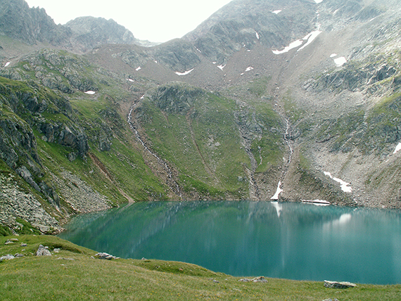
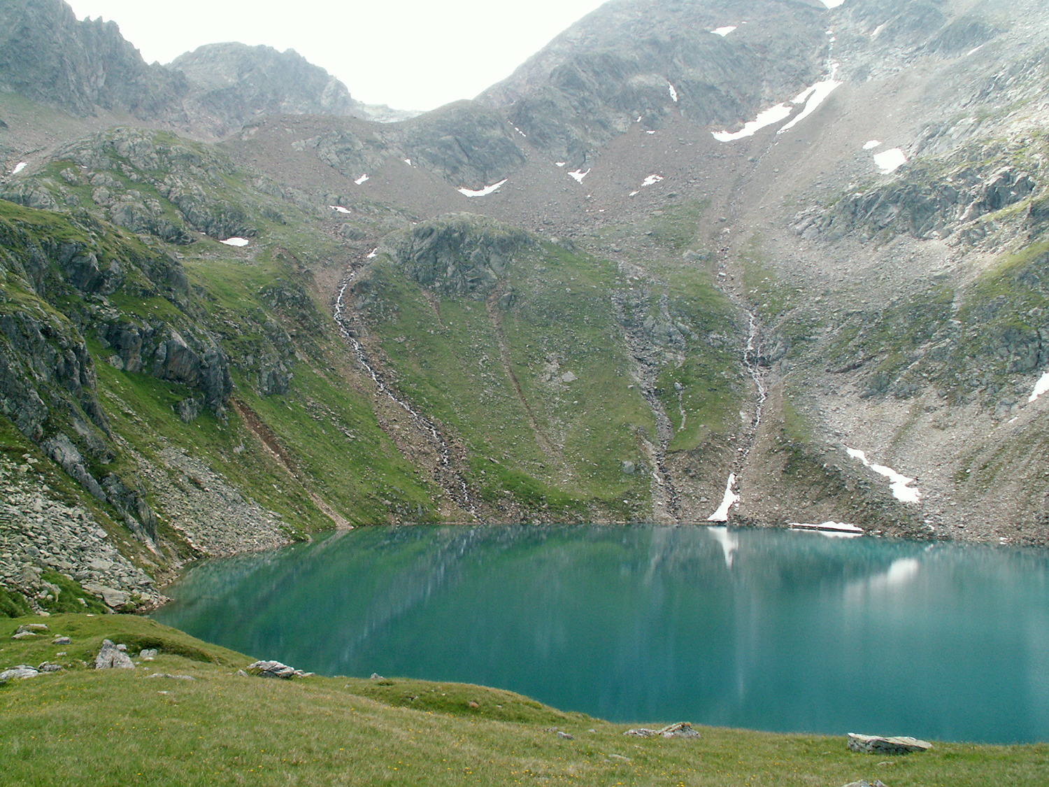
At
Grünausee, an emeraldgreen pearl right below the
large glaciers of
Hochstubai. Time for a cup of tea and
a sandwich. |
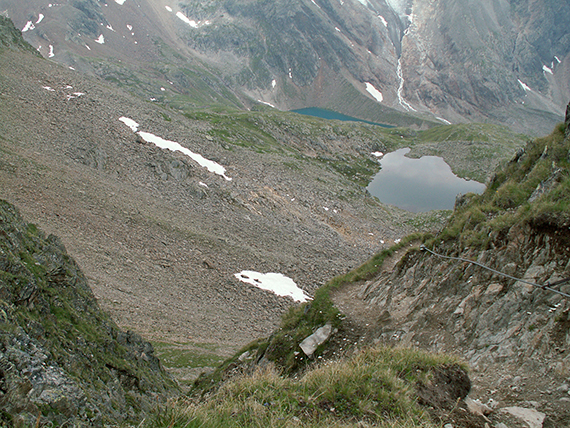
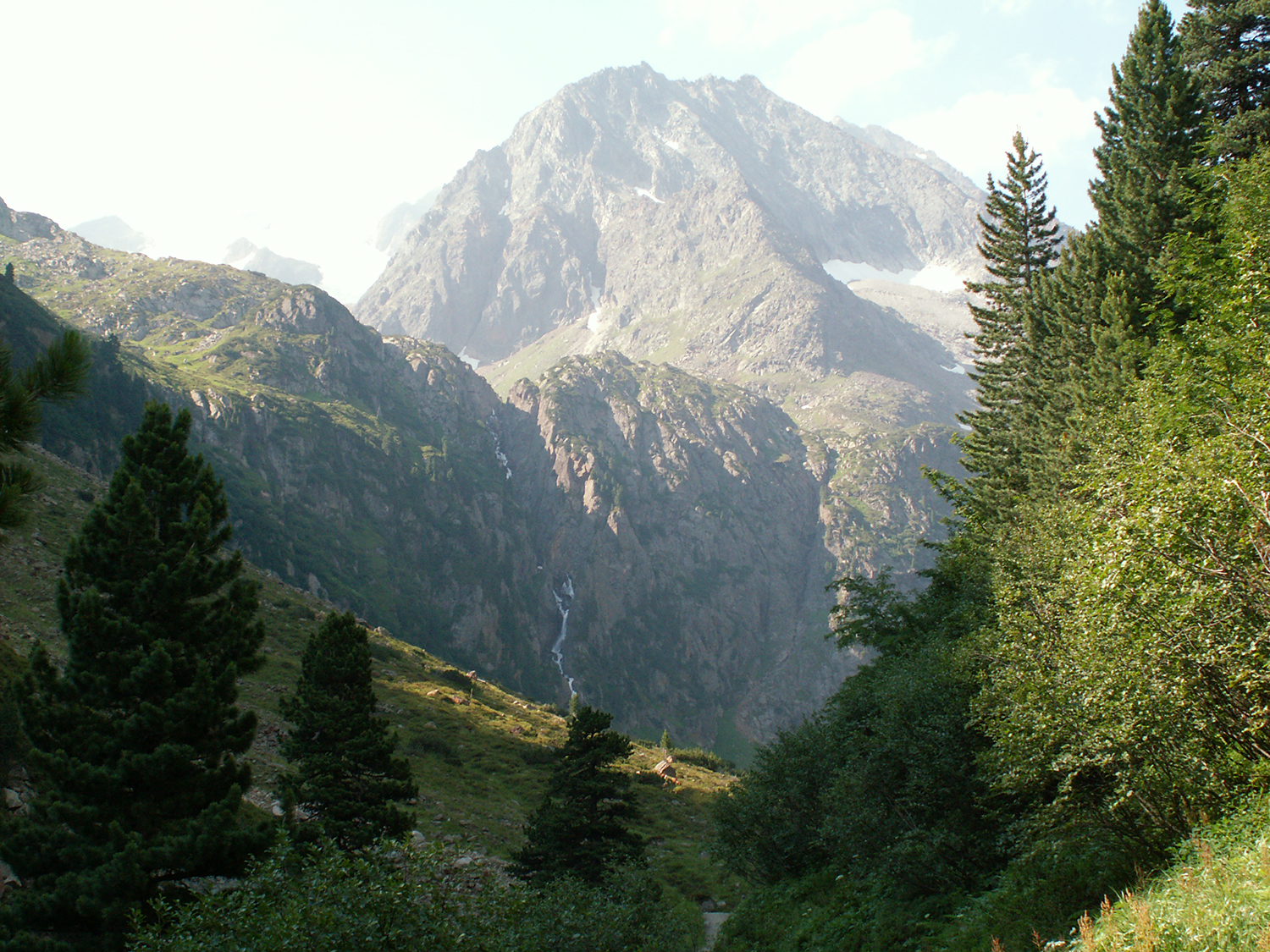
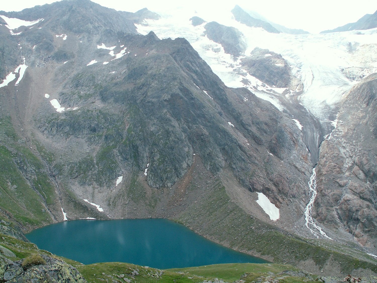
On the way to
the top of Mairspitze. Over Grünausee you can see the glacier Wilder Freigerferner.
|
|
|
|
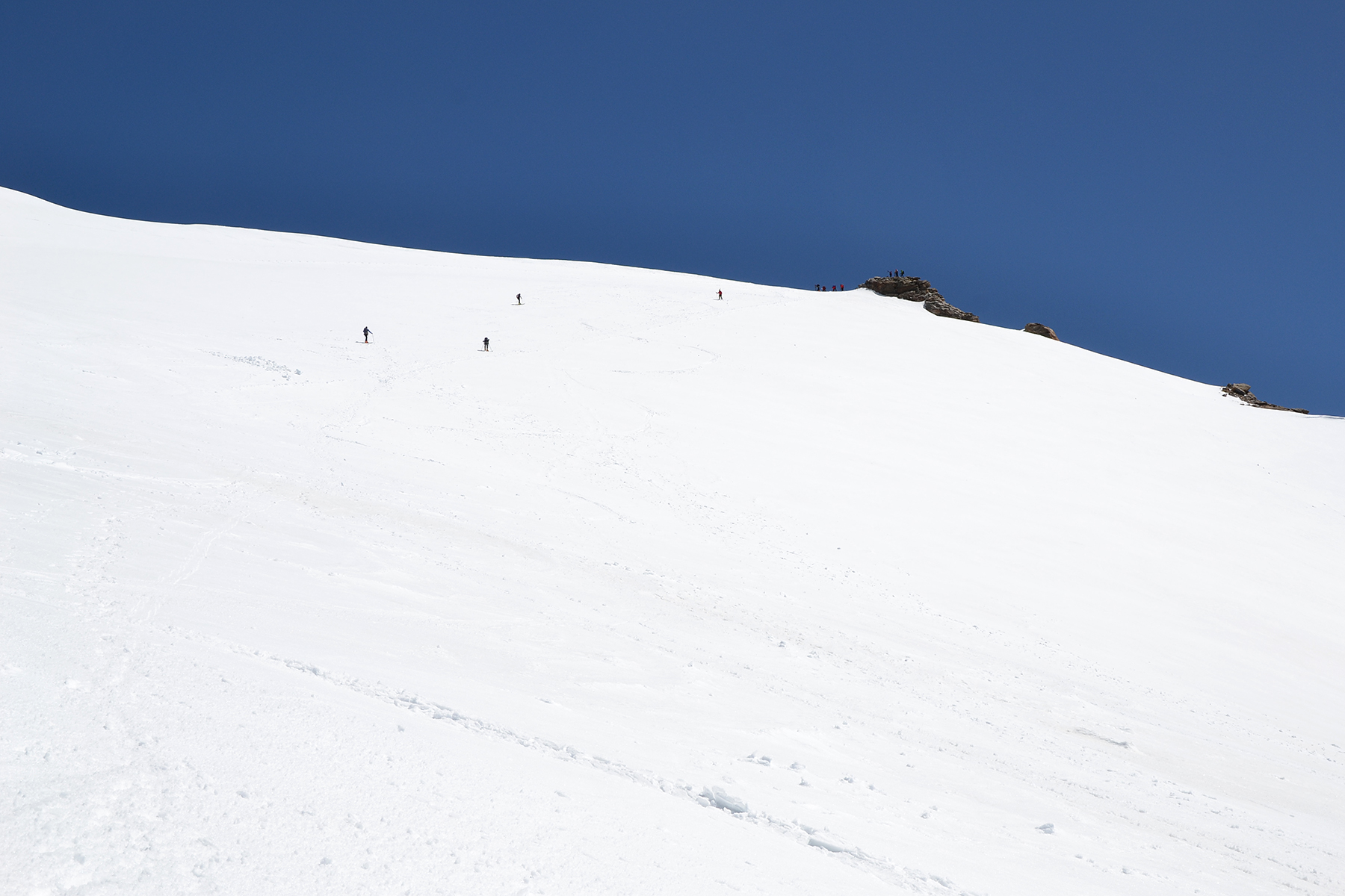
Intrerresting,
steeper climb just before the top. The wire
is really needed to hold
along the winding path, as the
slope is almost vertical. |
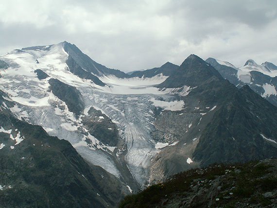
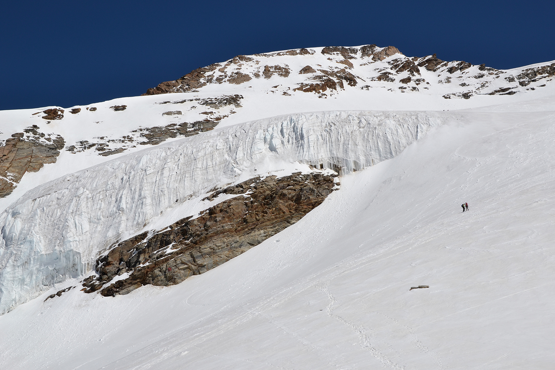
Wilder
Freiger, 3418 m, seen from the top of Mairspitze. |
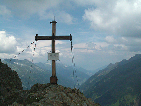
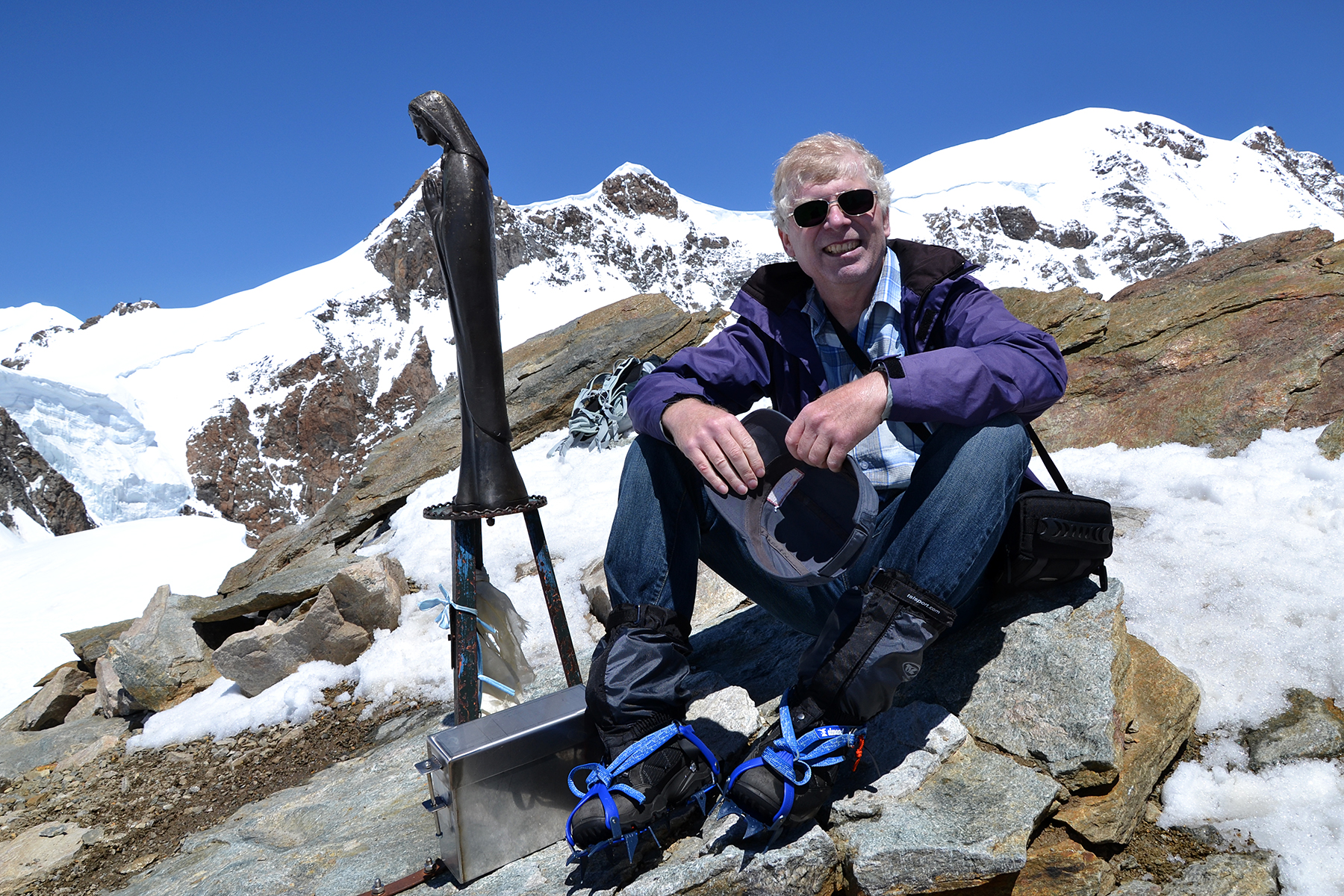
Mairspitze
(lower summit) 2780 m, is reached after 4 hours. In the background is
the Stubai valley.
|
|
|
|
I
descend on the opposit (eastern) side of the mountain.
After a good
dinner at Nürnberger Hütte I continue down
to the valley. |
|
|


