|
|

|
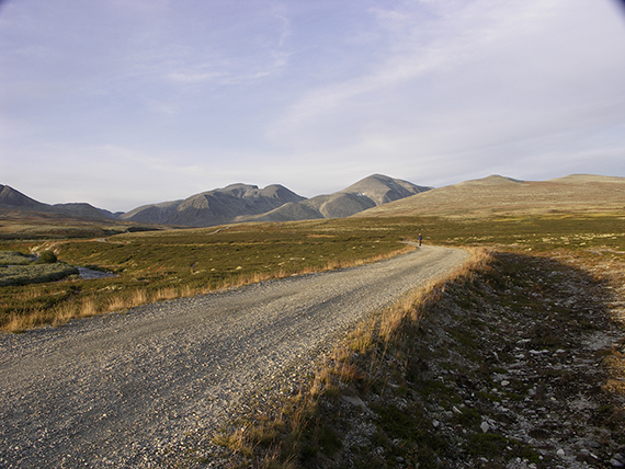
From
the starting point at about 1000 m there is first 6 km
of light walking
to Rondvassbu.
|
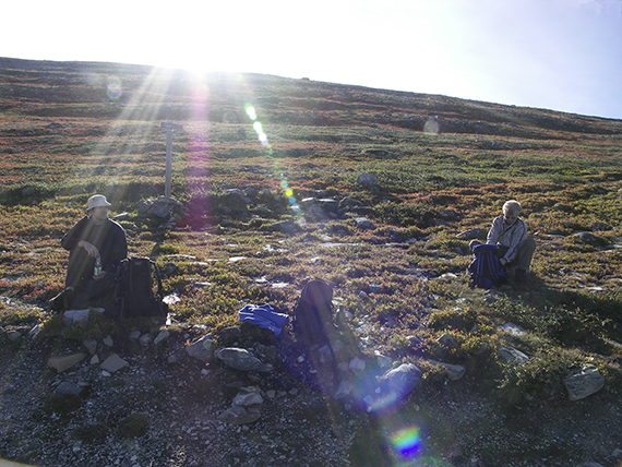
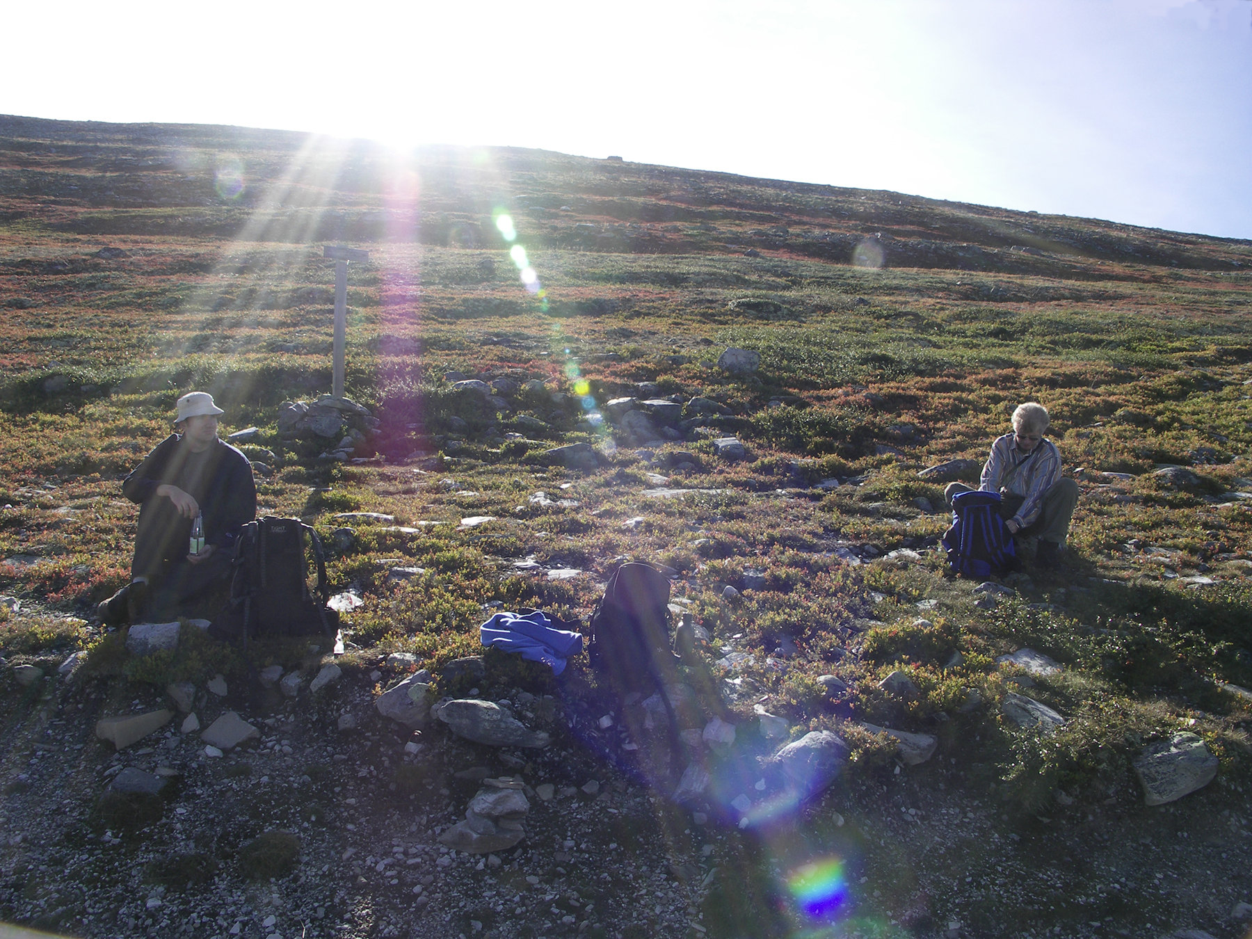
A short brake. |
The
autoumn colors have started on the highlands.
|

|
|
|
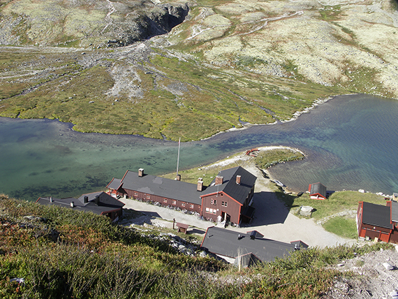
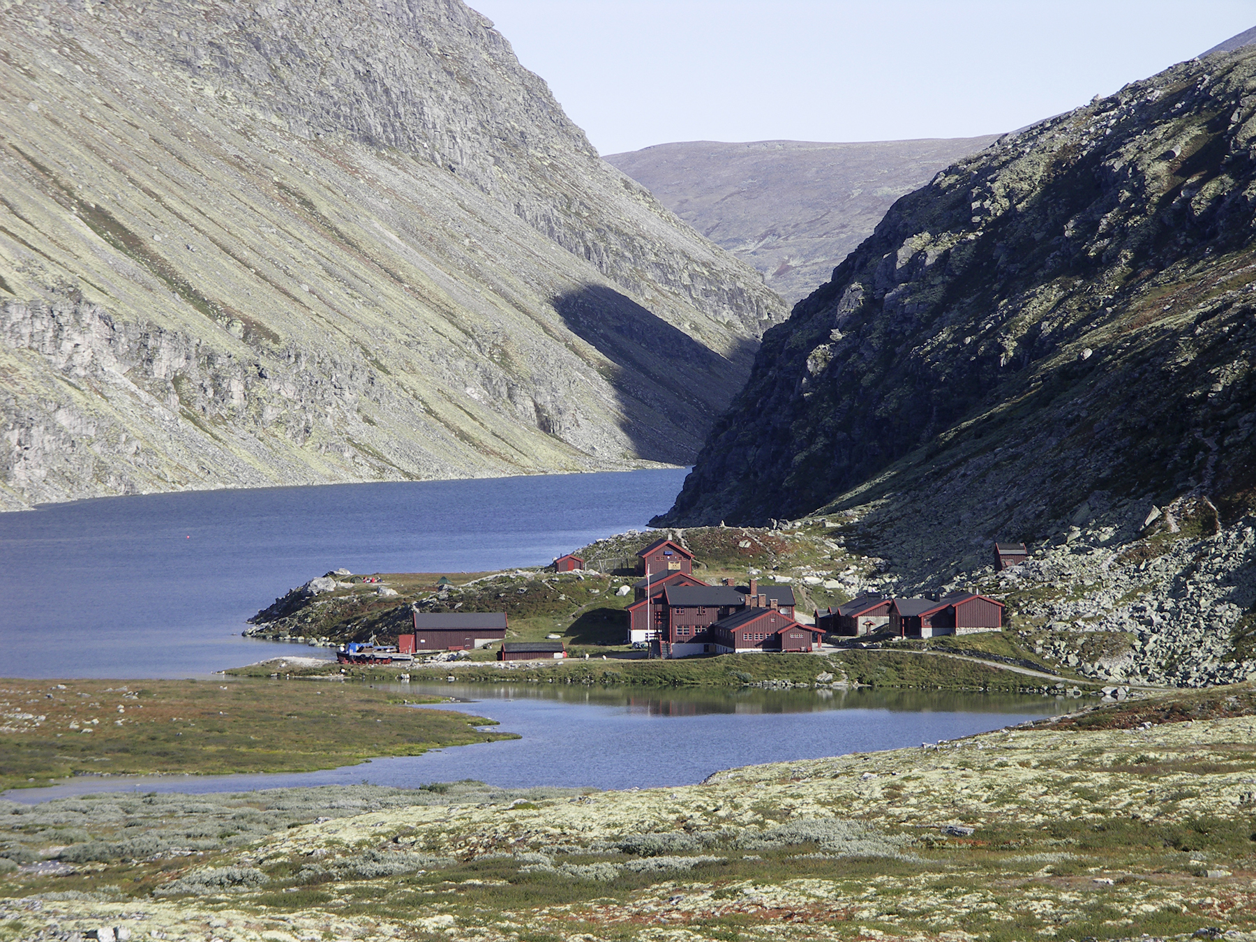
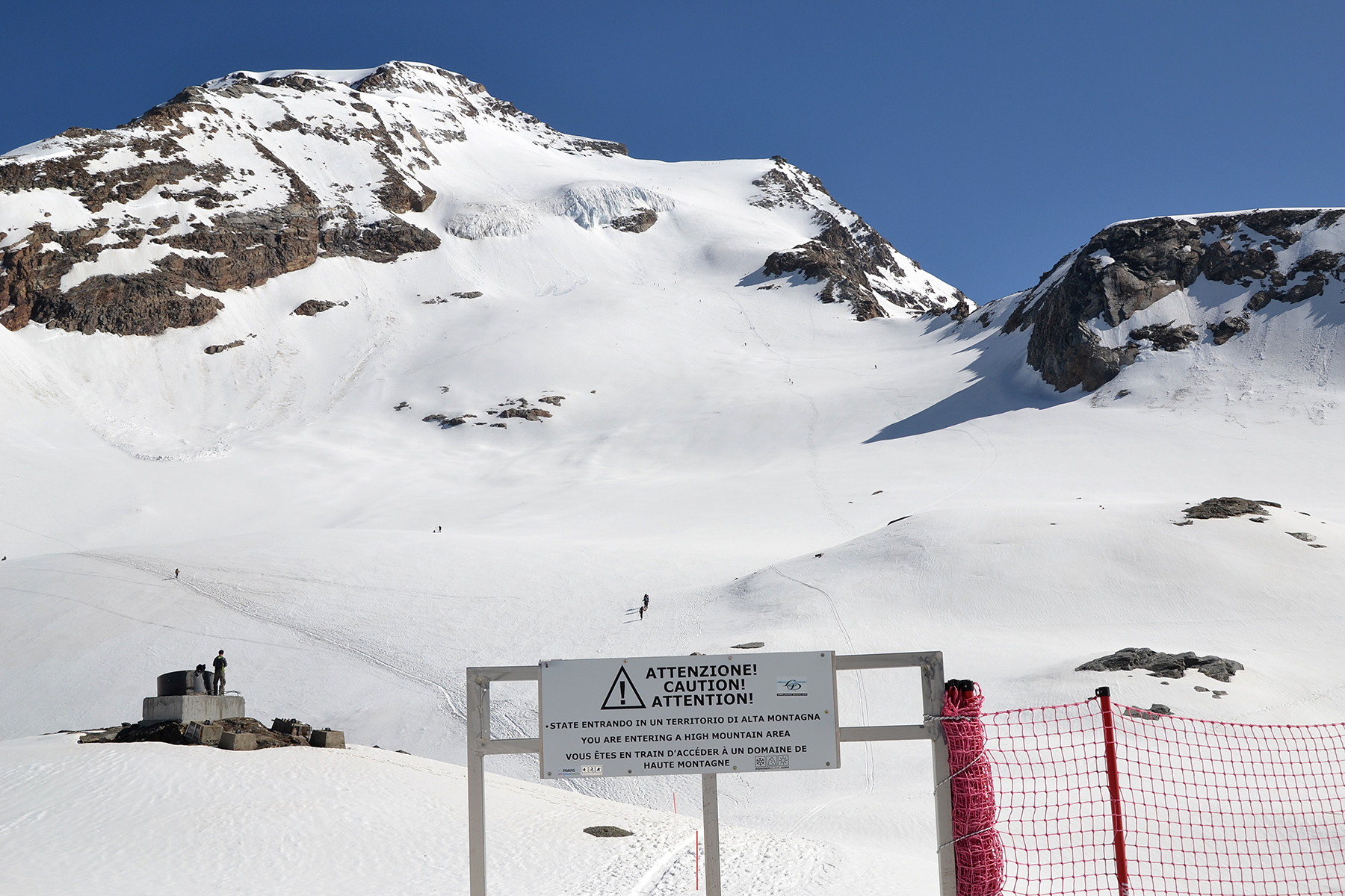
| Arriving
at Rondvassbu, 1170 m altitude. |
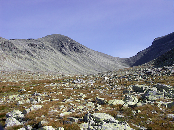
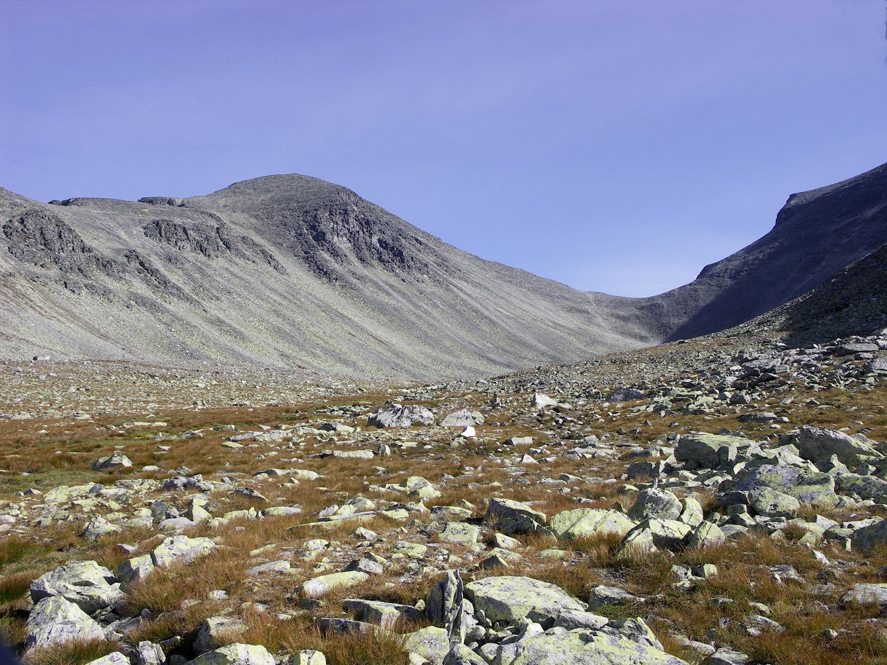
After
Rondavassbu the real climbing of the mountain
begins. First a shorter steep climb...
|
After that about 4 km of easy
climb in to the valley up to 1500 m altitude.
|

|
|
|
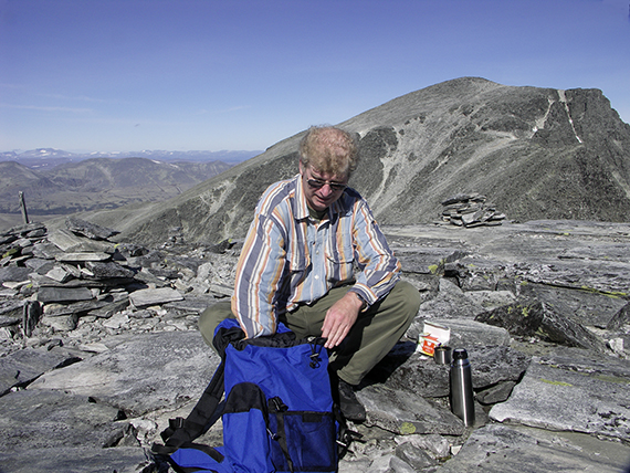
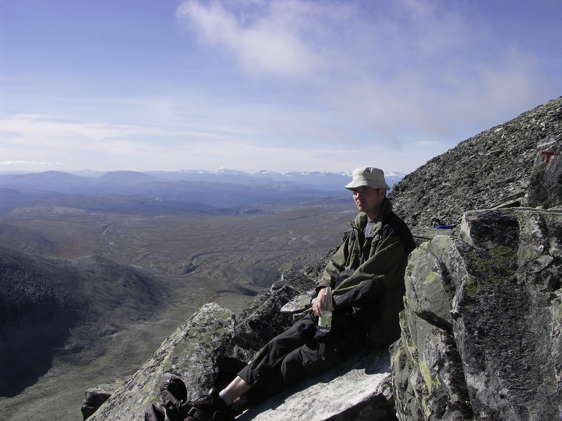
Then it gets steep and stony. Robert takes a
short pause
on the way to the top of Vinjeronden. |
Arriving at the first peak, Vinjeronden,
2044 m altitude. In
the background you can see Rondslottet. |
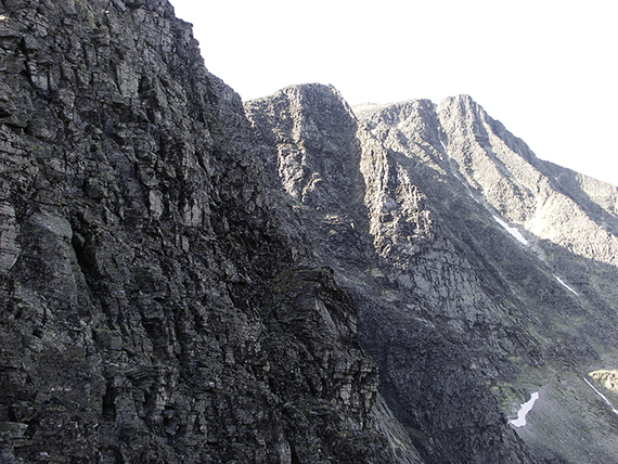
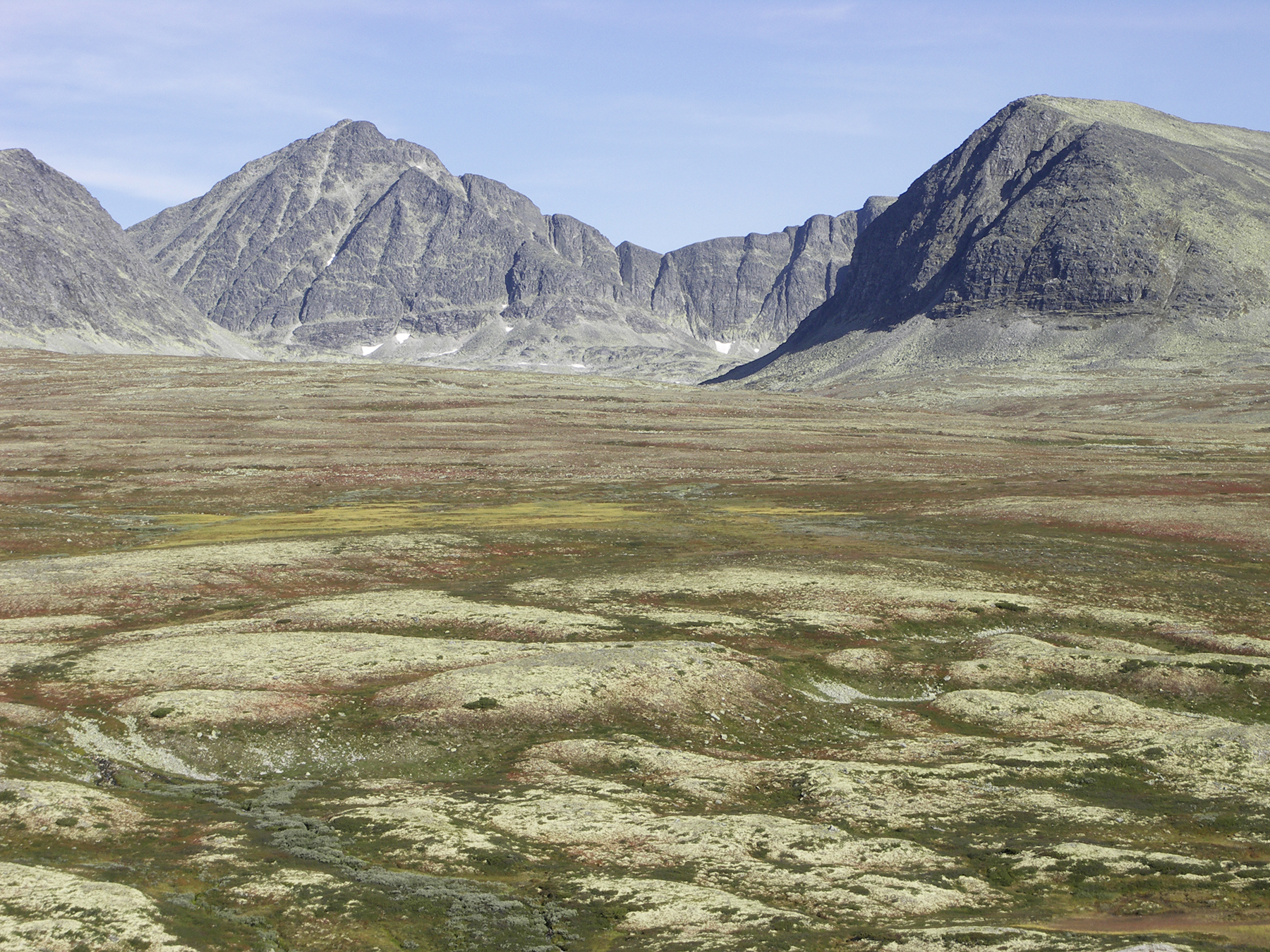
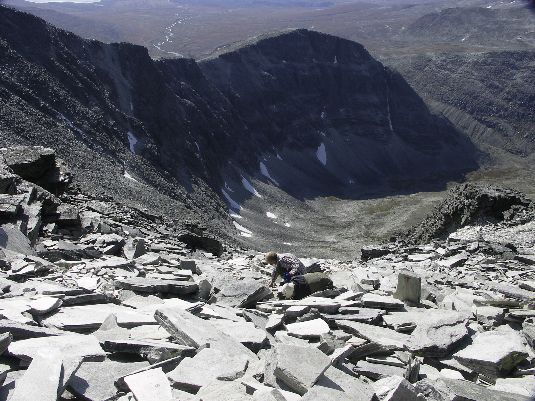
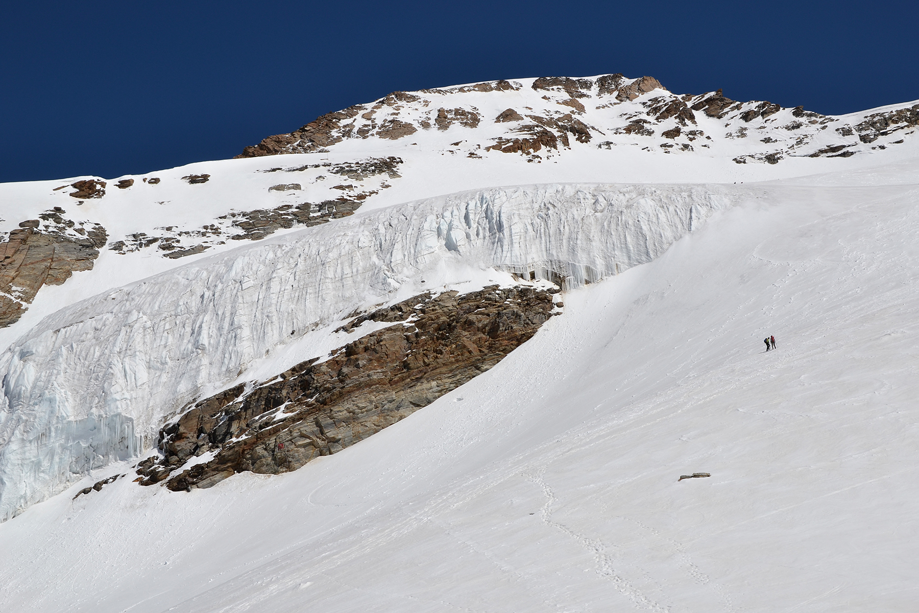
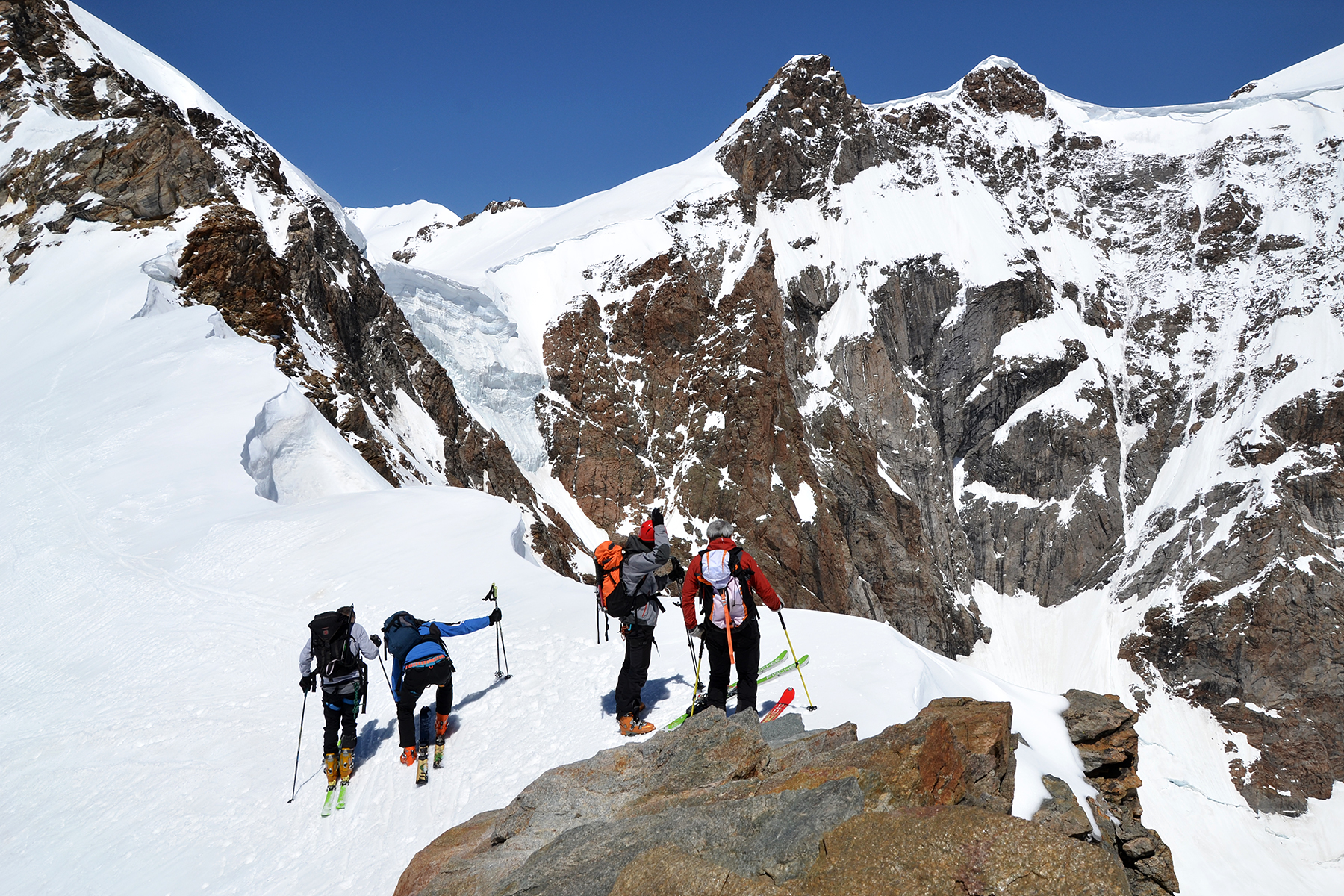
The
route from Vinjeronden to Rondslottet provides some spectacular cliff
formations.
|
|
|
|
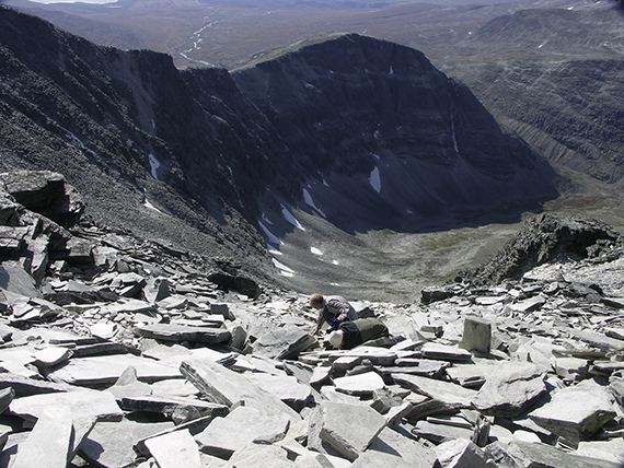
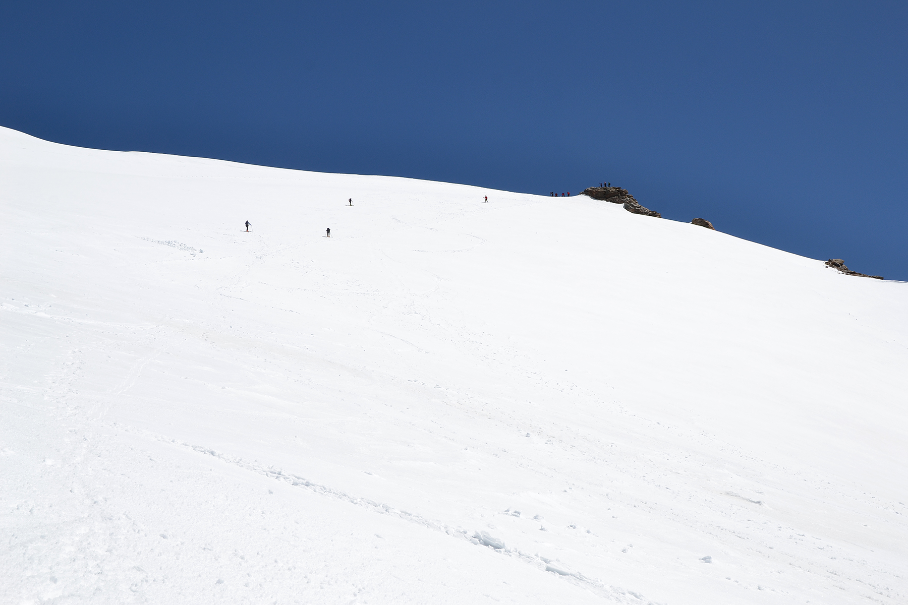
| Steep, steep... (can you see
us?) |
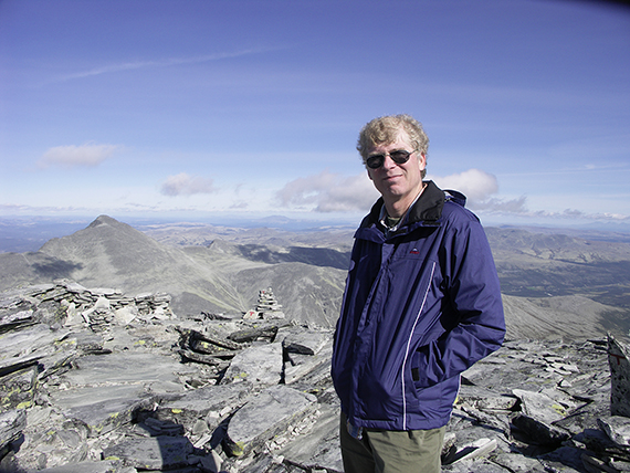
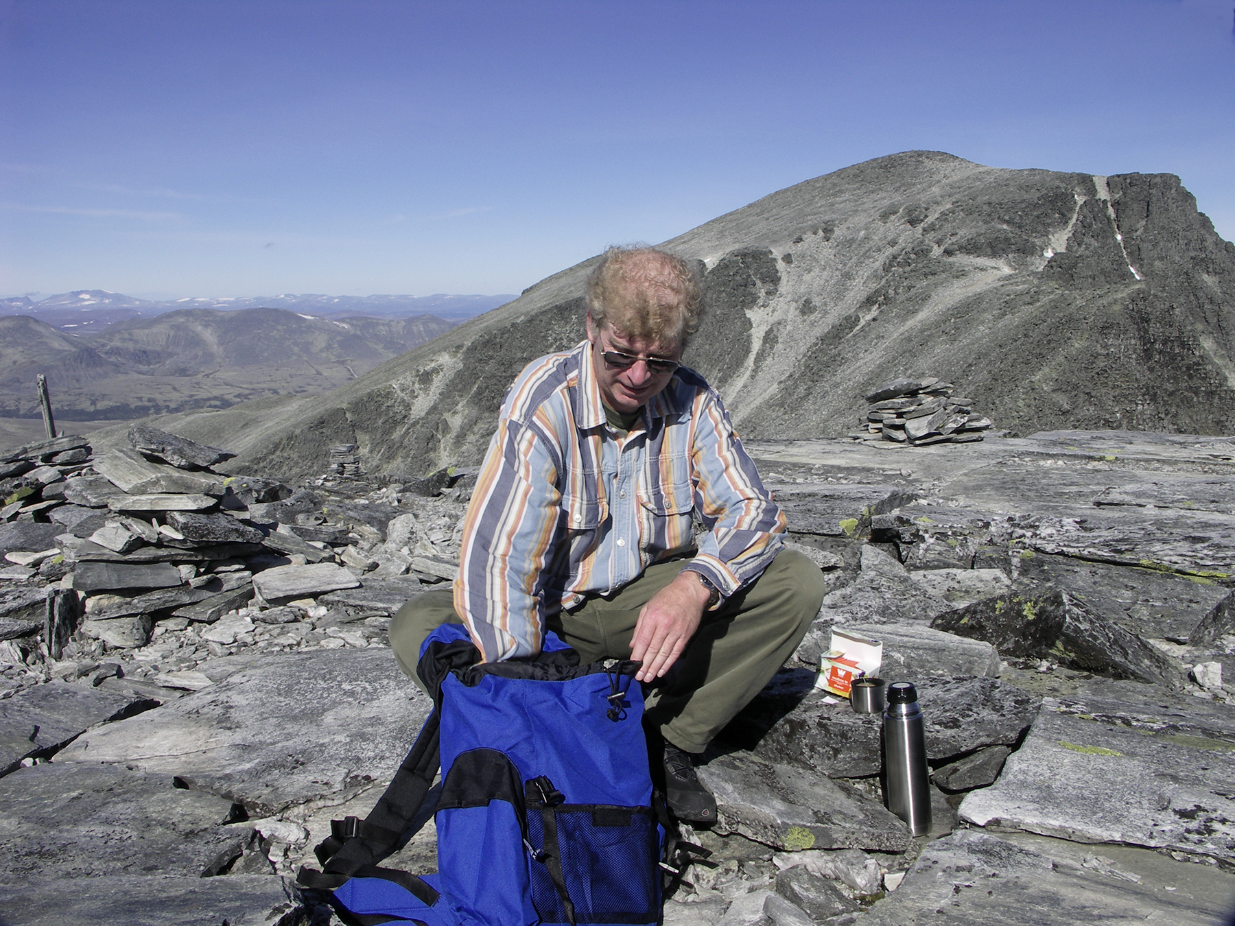
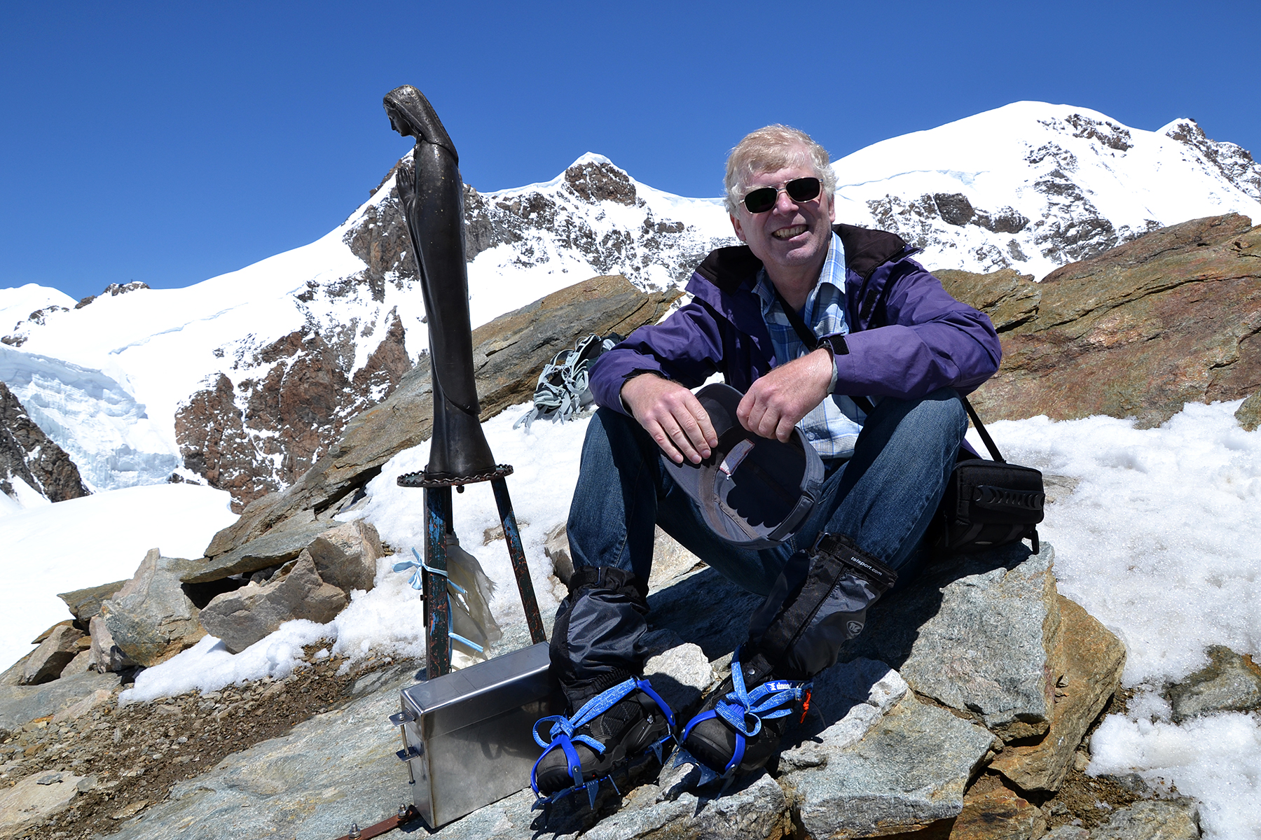
At
last on the peak of Rondslottet, 2178 m altitude. You
need some fitness
to walk this route in one day. Long
distance, high altitude gain and
all the stones are
demanding. One alternative is to spend a night in
Rondvassbu.
|
|


