|
|
|
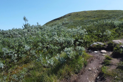
This is a nice half day tour in beautiful surroundings. I
reach lake Tyin in the afternoon, after starting from
Grimsås early in the morning. There is a paking place
close to where the trail begins. |
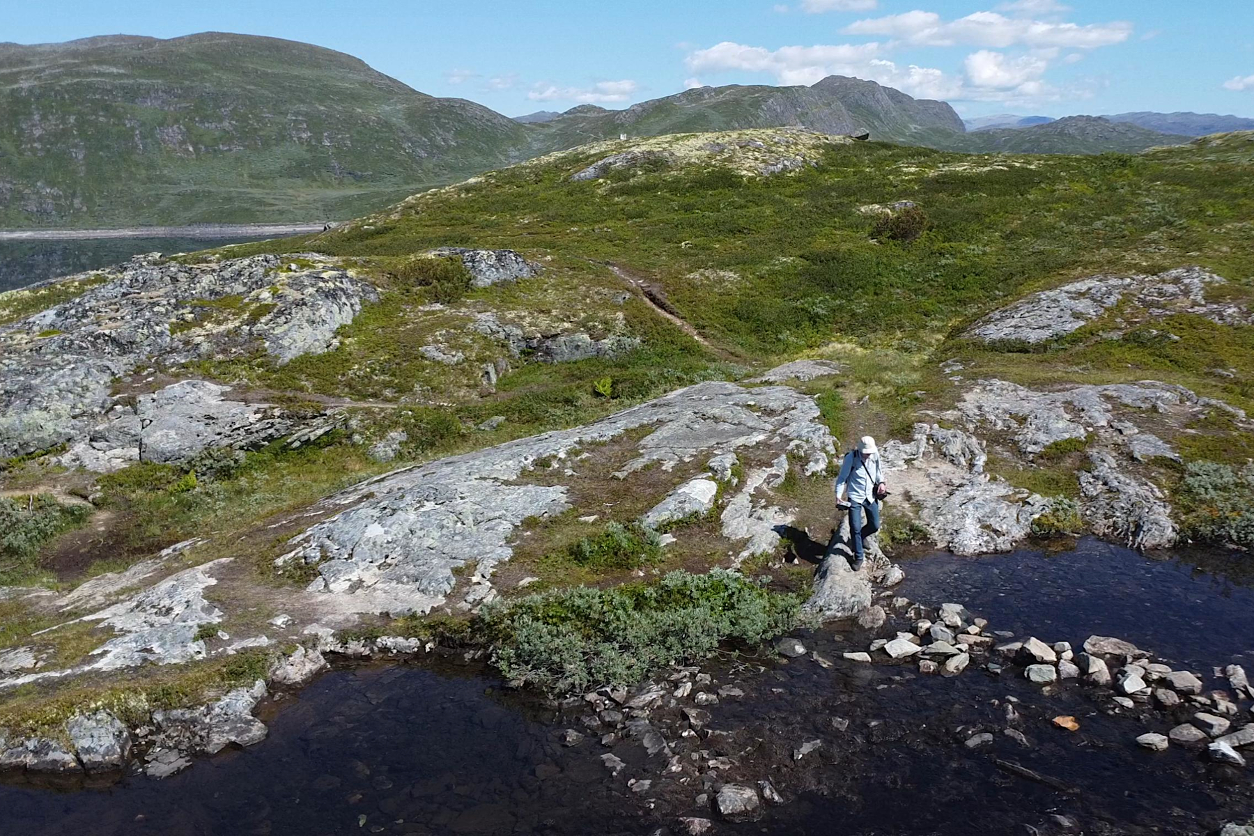
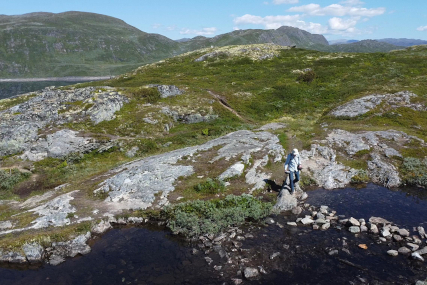
After
around 100 altitude meters there is a passage of a stream. The weather
has been dry up here, so there isn't much water. The passage goes easy.
|
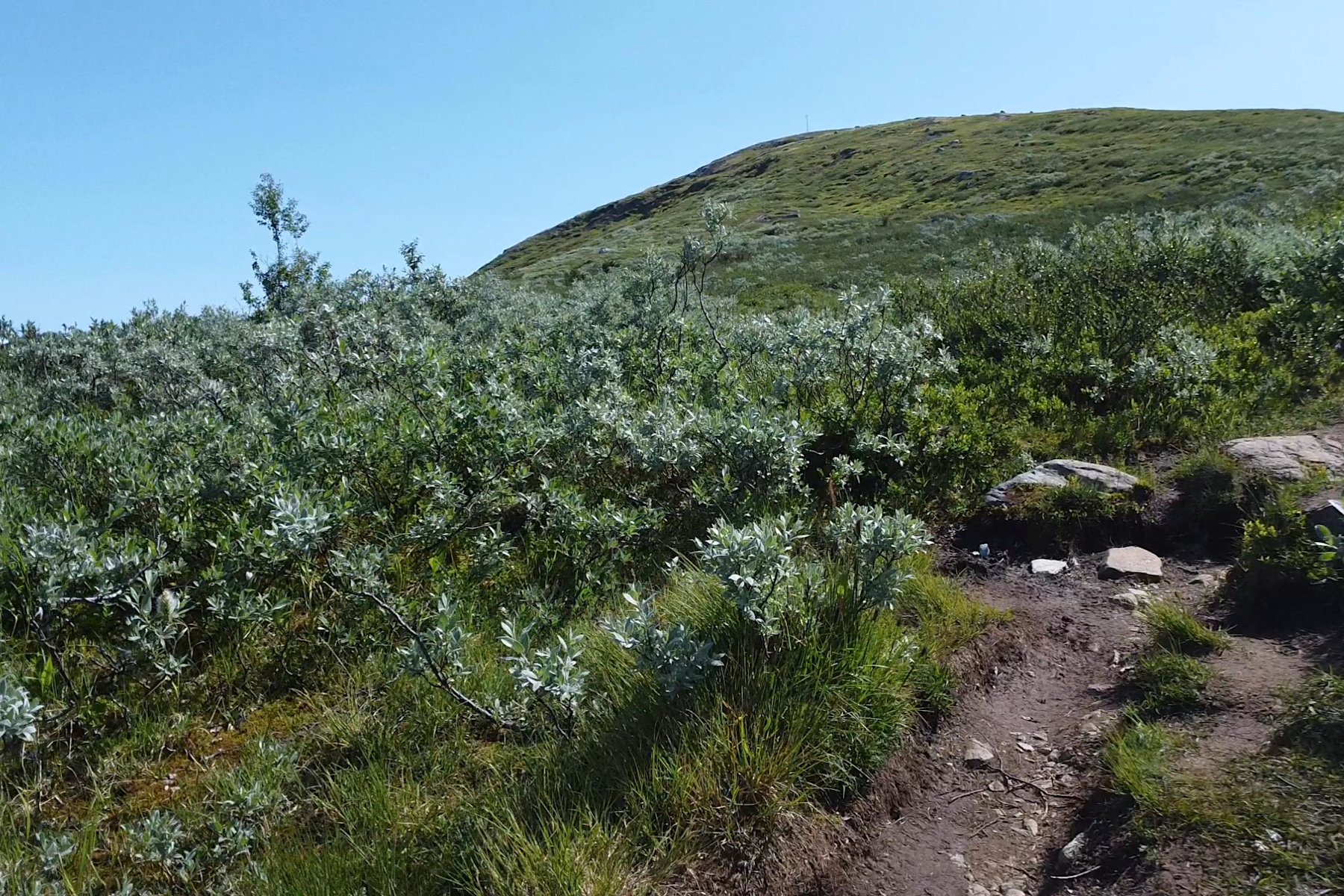
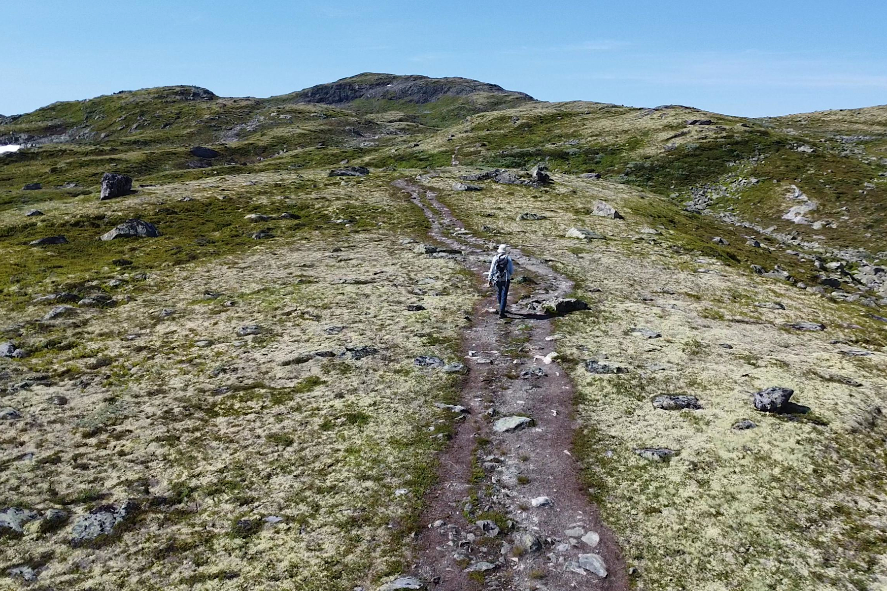
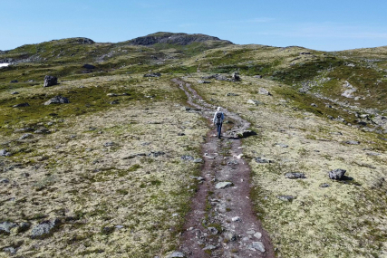
Then follows a pretty long way to go. But the trail is clear and easy to follow. |
|
|
|
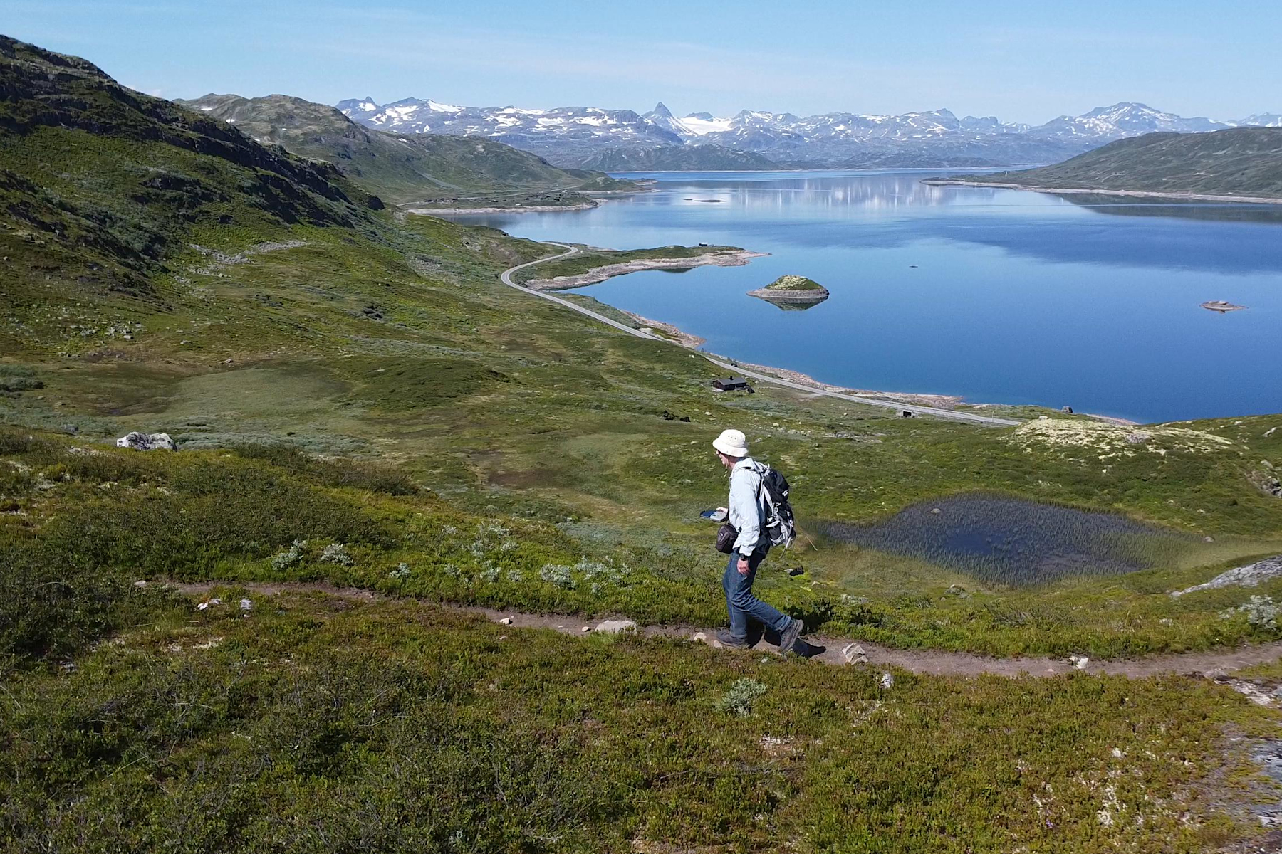
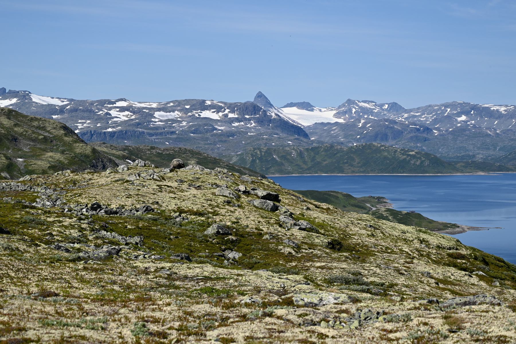
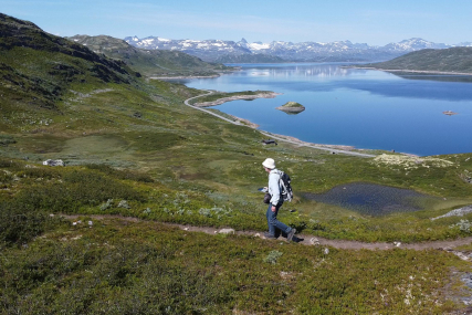
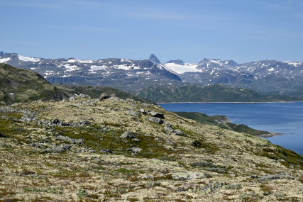
Also, the views are really beautiful! Here is lake Tyin
200m below, with the southern parts of Jotunheimen
behind.
|
Uranostinden 2157m, in the middle of the picture.
|
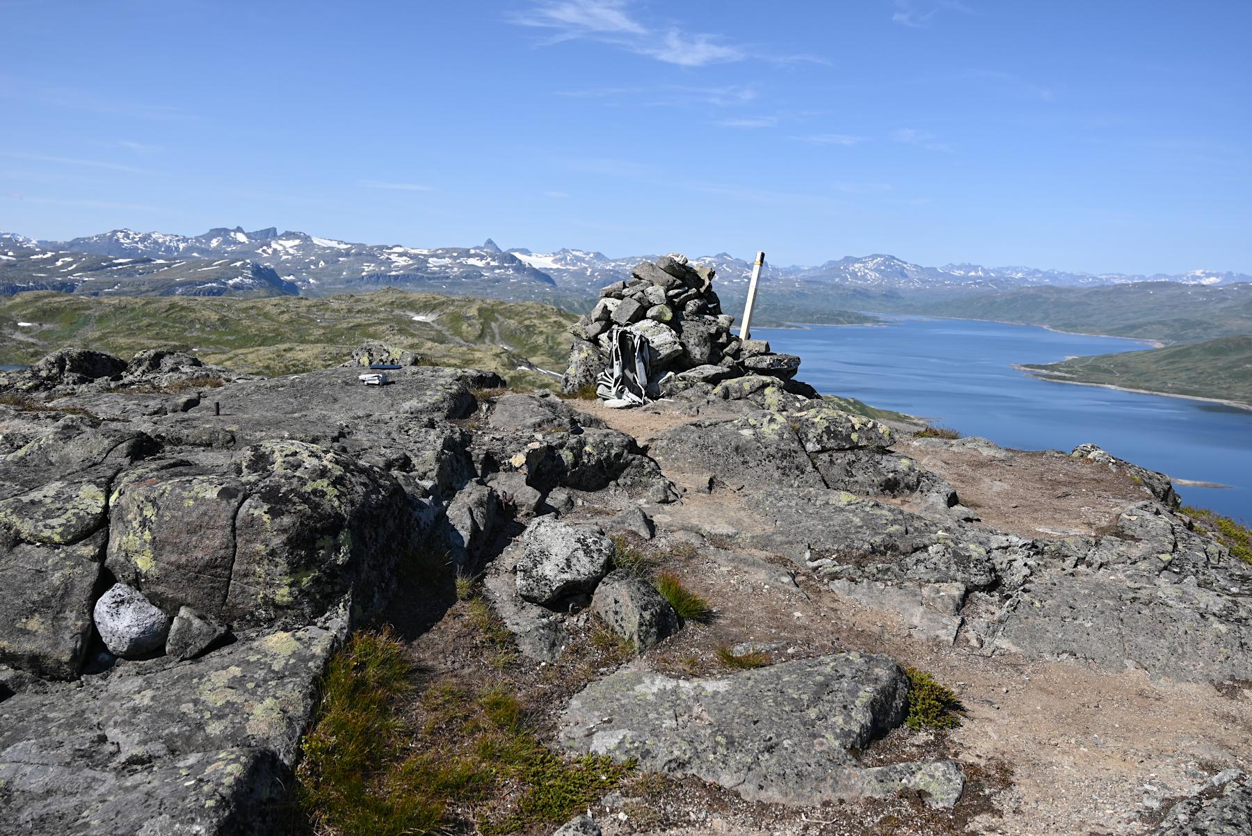
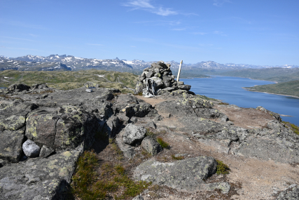
Arriving at the summit cairn, 1419m.
|
|
|
|
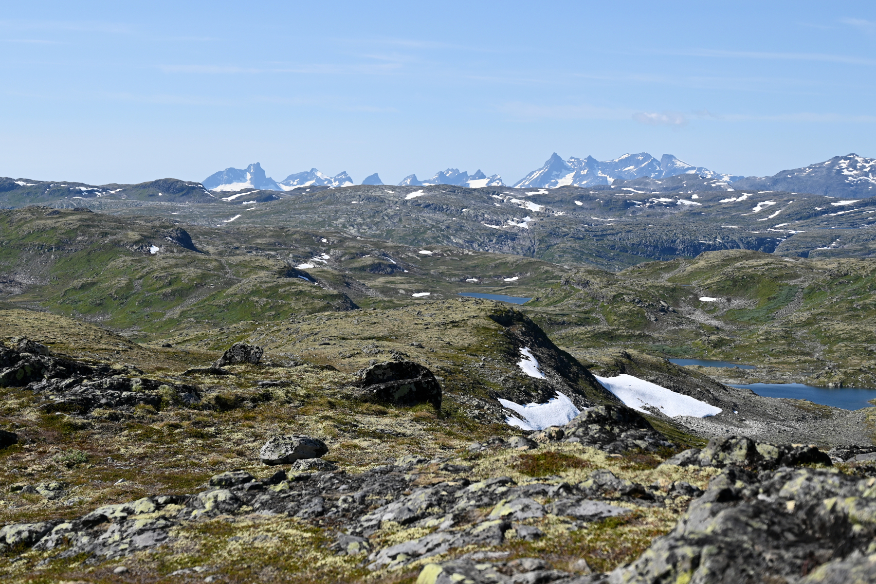
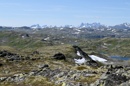
To the northwest, the sharp peaks of Hurrungane, the
most western part of Jotunheimen.
|
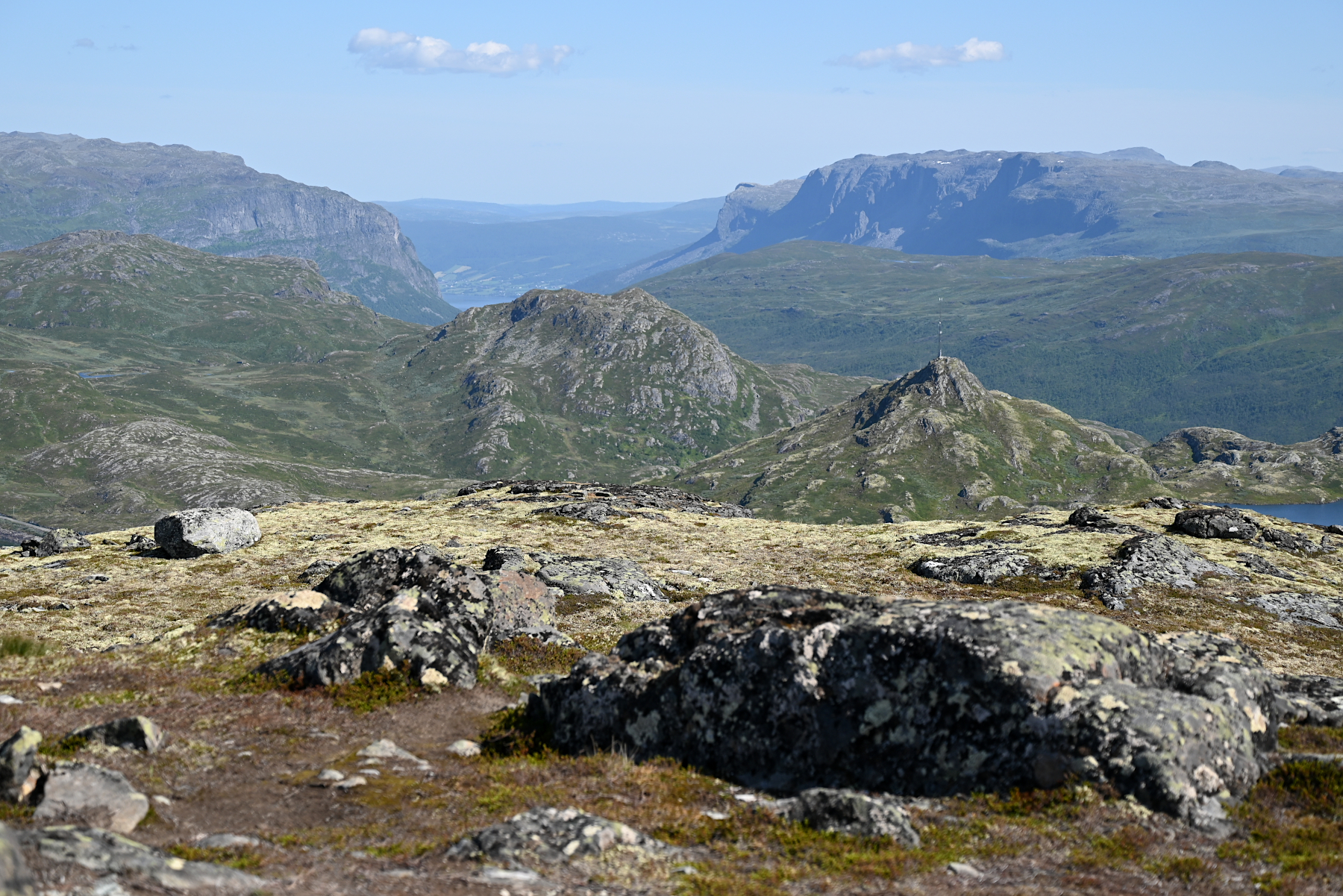
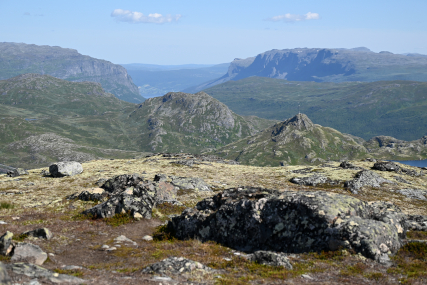
And in the southeast, the mountains around Vang.
|
|