|
|
|
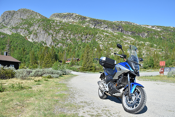
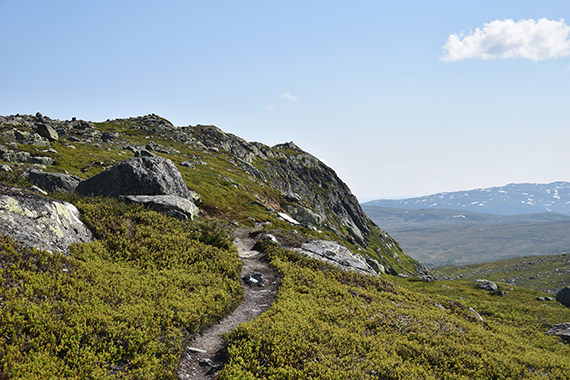
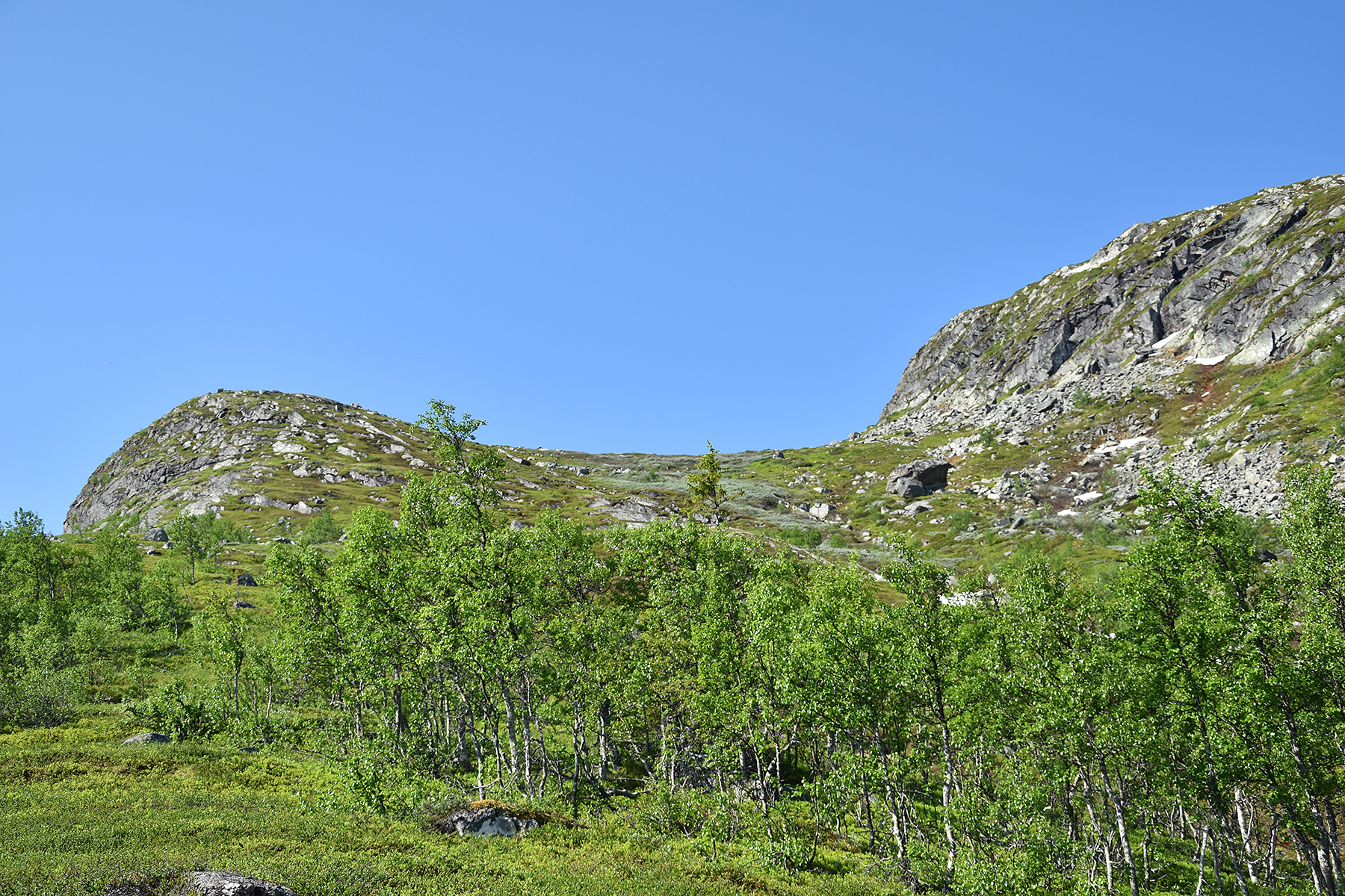
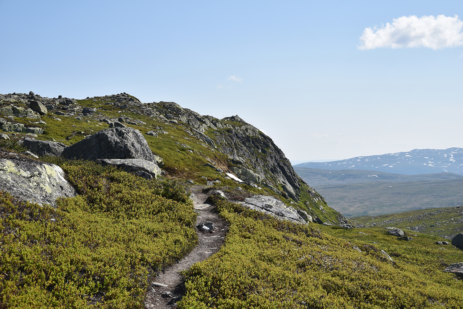
This time I take my mc
to
Haglebu in Norway. My target is Bergshammaren, that
I have climbed once before. Then
it was in snow and from the flatter,
northern side. Now I will climb from the south, up the
"shelf" leading
from right to left
in this picture. This is a steeper, more spectacular
climb. |
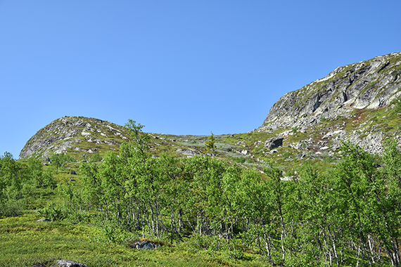
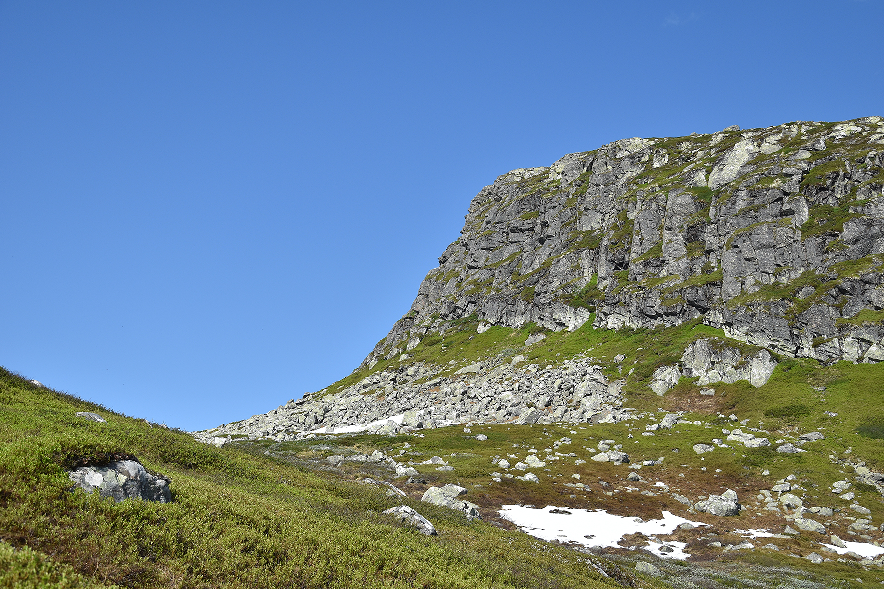
The
camera doesn't show that it's quite steep here. The southern, lower
summit is to the left while the main summit
is to the right. |
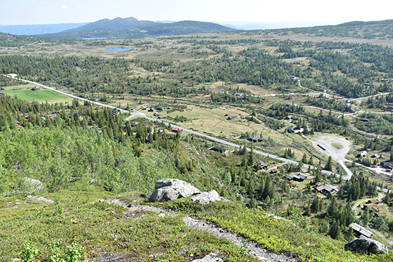
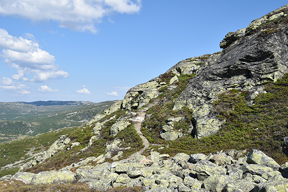
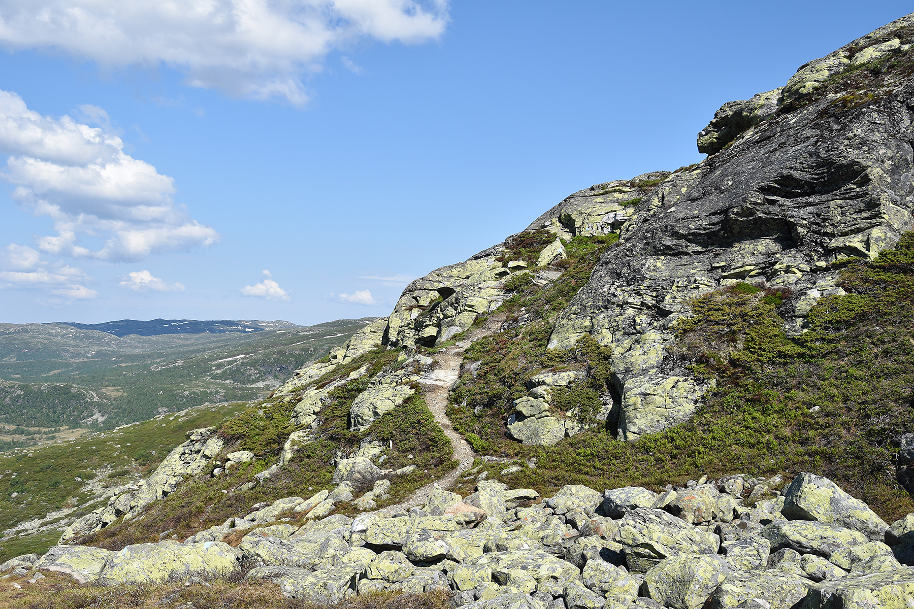
For
a while, the path goes close to the vertical cliffs, down towards
Haglebu, giving really nice views!
|
|
|
|
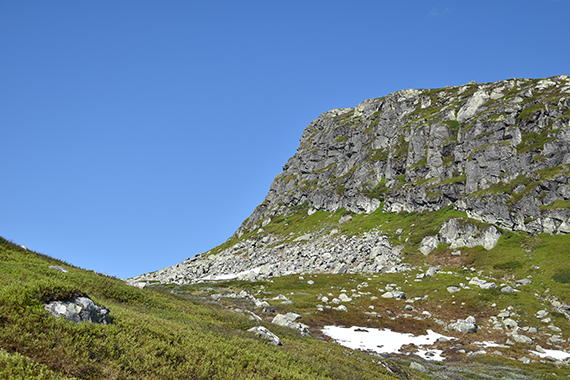
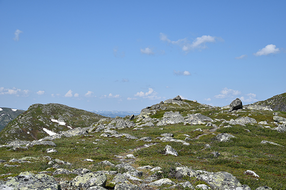
| The
steep cliffs to the main summit are to the right, |
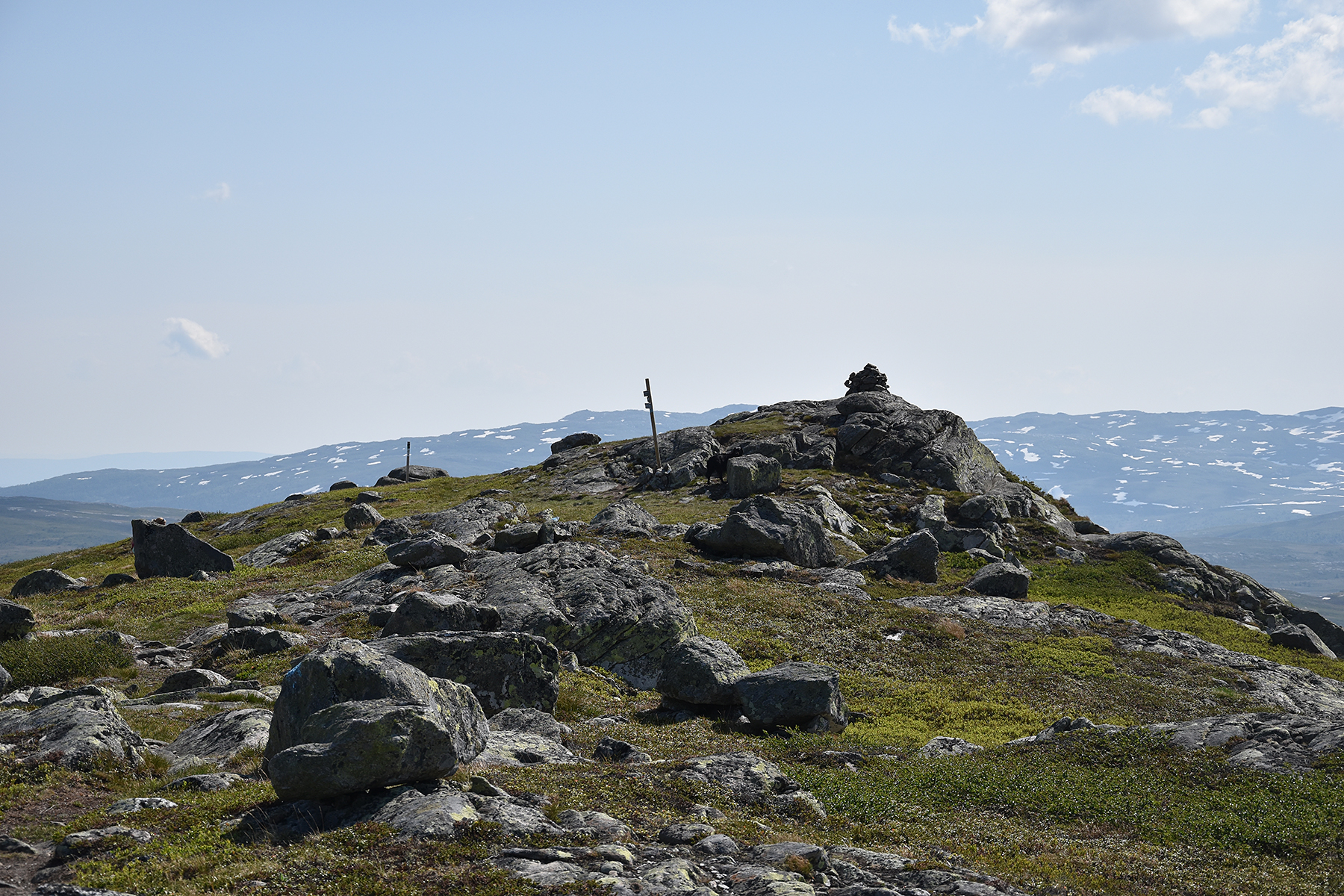
but
first I will pass the lower, southern summit, 1212m. |
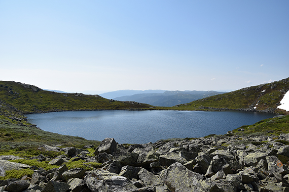
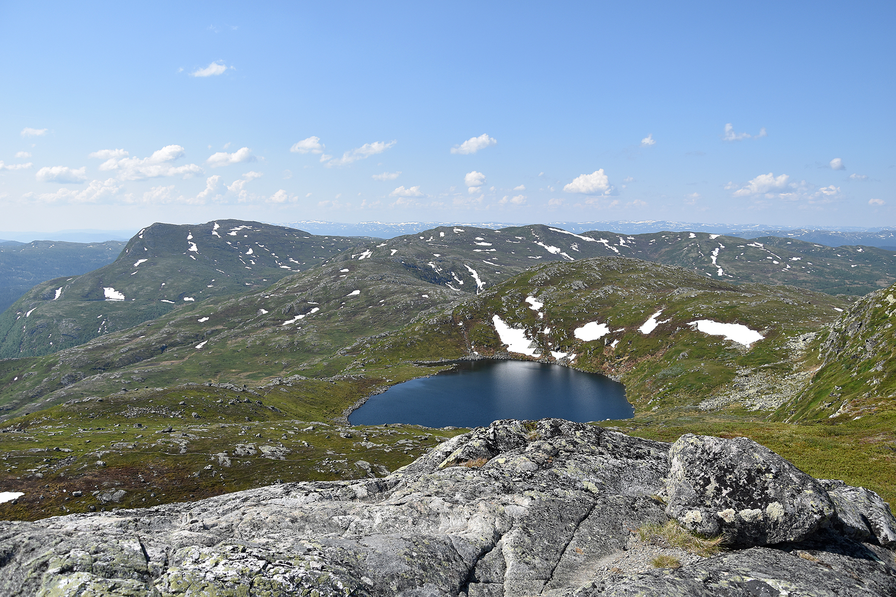
I don't
stay here for long, but descend 45 altitude meters and pass the lake Nilsetjenn.
|
|
|
|
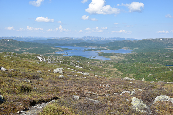
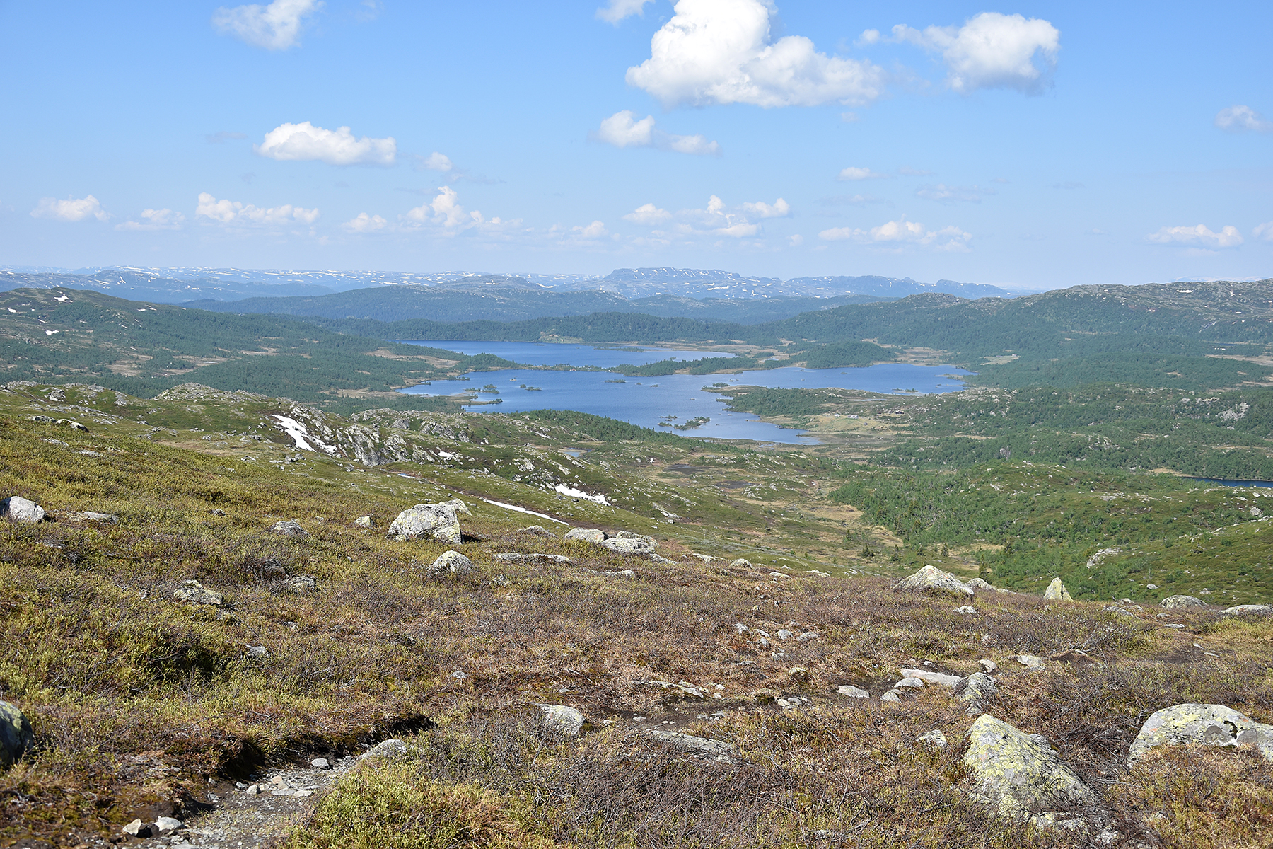
A
short while after the lake there is free view to the west.
Here are the
lakes Nordre
and Søre
Økteren. |
The path turns 180 degrees here.
Now you can access the higher "shelf", going back towards the main
summit. |
Soon
it's visible straight ahead.
|
 |

|
|
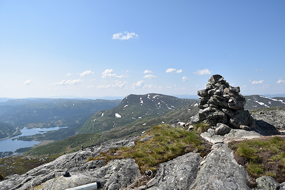
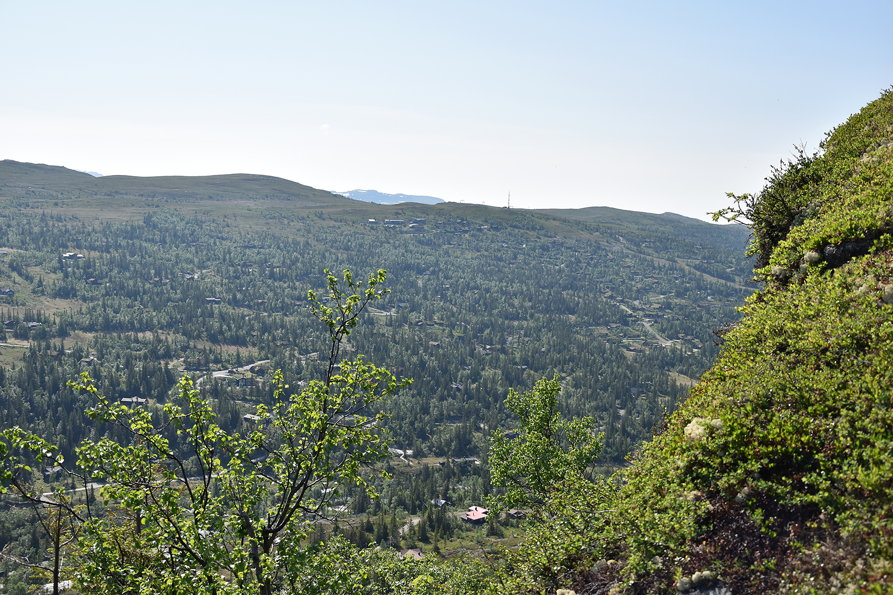
At
the main summit after 1,5h. Haglebunatten 1278m is
in the middle, with
the village Haglebu down to the left. |
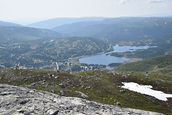
Here's
the lake Nilsetjenn from the summit. |
The
view of Haglebu is spectacular from here. Take note of the man standing
on the snowfield. It turns out to be a nice Norwegian guy. We get a
talk as I meet him on my way down.
|

|
|
|
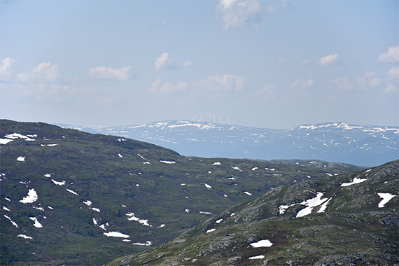
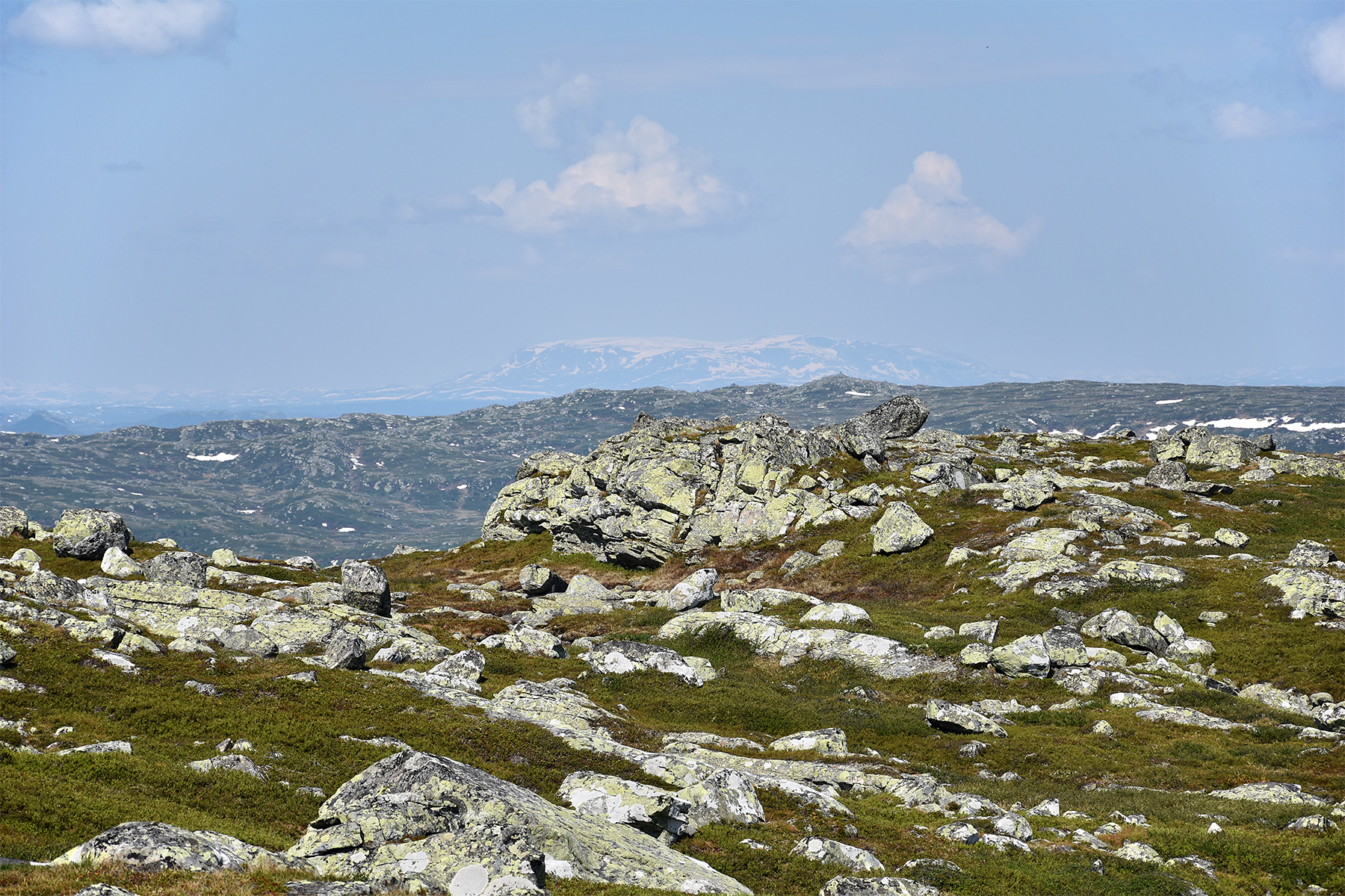
| The
visibility is rather poor today. But I can still see
Hallingskarvet to the northwest, 70km away and reaching
more than 1900m. |
Even
harder to see but visible, The Gausta Peak 1883m, 65km to the southwest. |
|


