
|

|
|
A bit
north of
Saint Vincent, in the Aosta Valley, you can
take a small
road towards Torgnon. I park the car at
1840m by a restaurant. |
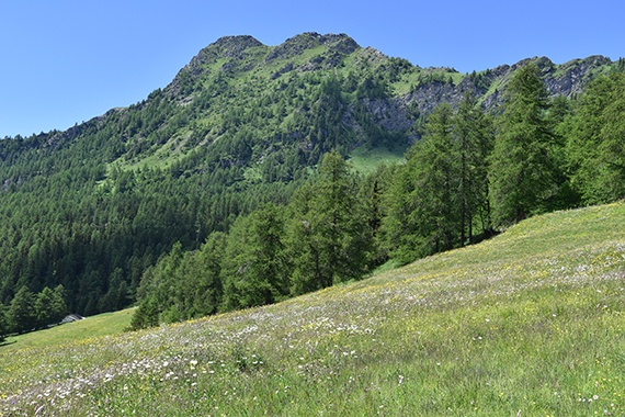
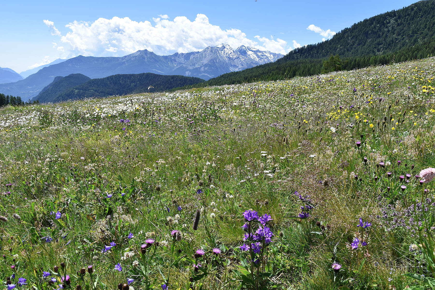
There
are many flowers here. Flowers usually means butterflies, something I
will see more of as I get higher. |
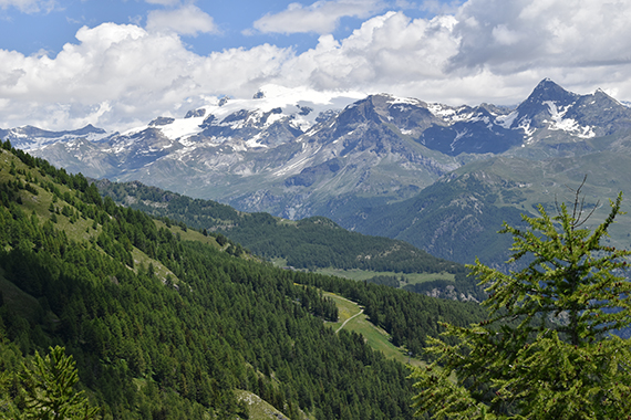
First target, Becca d'Avert in the
picture.
The route goes via the pass Col Fenêtre, to the righ here.
|
|
|
|
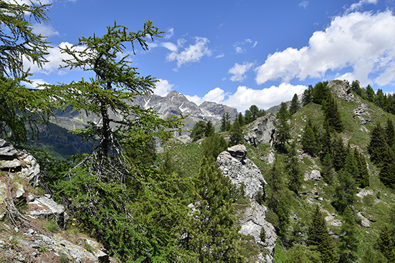
| Just after the pass, now
at 2200m. |
From
here some passages are a bit steeper. No problems going up though. |
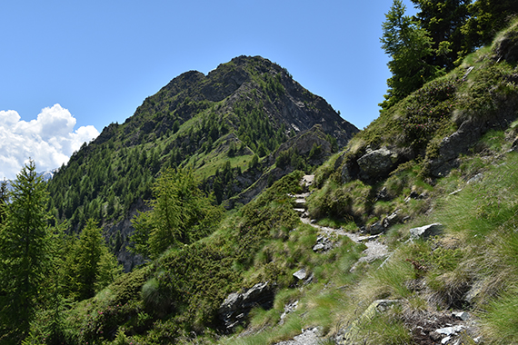
A few
shorter sections are secured by chains. But again, nothing too
difficult.
|
|

|

|
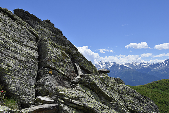
| To the
north is
Monte Rosa, with Breithorn 4164m in the middle. I've climbed
that one
twice, last time in 2014. |
The final steps to the summit. |
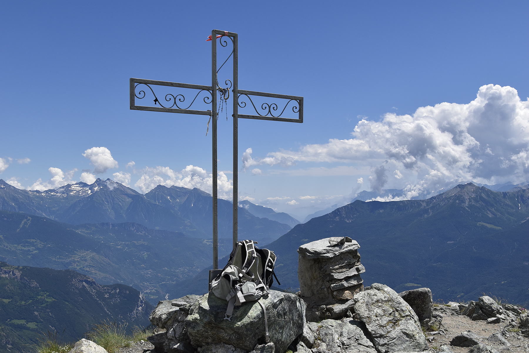
The
summit cross on Becca d'Avert 2469m. The picture is taken to the
southeast, where the Aosta Valley reaches the Po Valley.
|

|
|
|
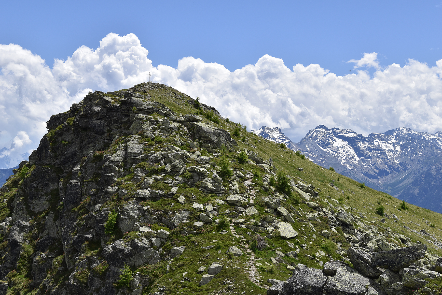
From
here you shouldn't miss going an extra 1,5km to
Cima Longhede,
well worth a visit. Here I'm halfway
between the two summits. |
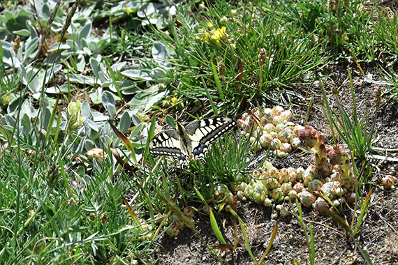
Oh yes,
butterflies! There are lots of swallowtails as I get higher. They seem
to like it here, I count about 10. |
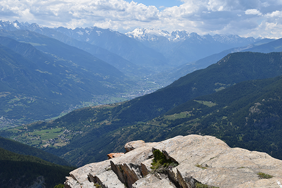
The
city Aosta down in the valley, seen from the summit of Cima
Longhede. Behind is the Mont Blanc-massif, although the actual
summit is covered by clouds.
|

|

|
|
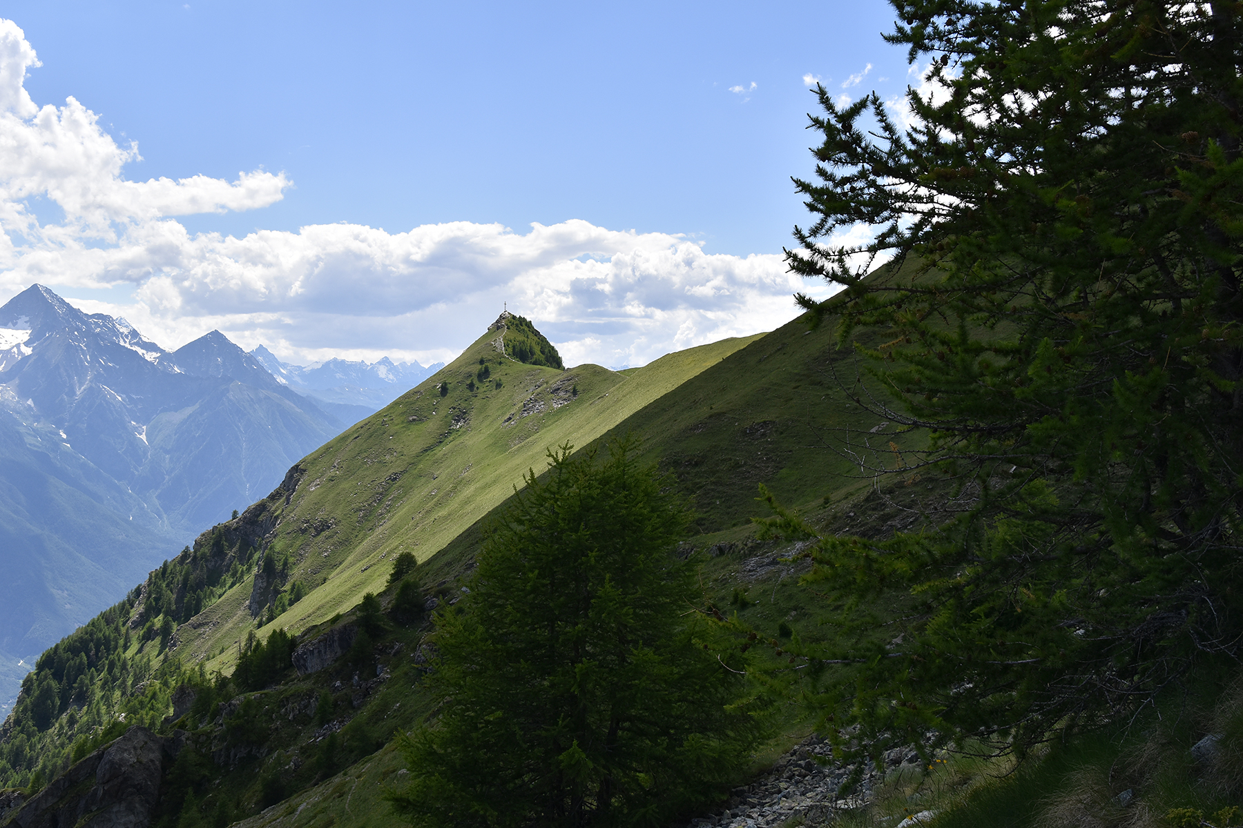
| Going
back, I choose a path at the side of Becca d'Avert, instead
of passing
over it once again. |
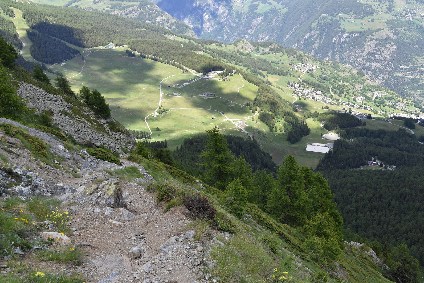
This
path will swiftly lead down to the parking place (in the middle) and a
good cuppoccino at the restaurant. |
|


