|
|
|
8/7:
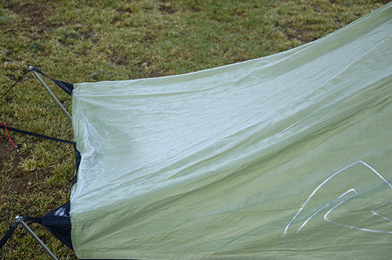
The frost covers my tent in the morning. We are at
more than 5300m, basecamp (BC) at the foot
of Yalung Nongs south peak. The
night has been cold. We eat our breakfast at 06:00
and then prepare for
the climb.
Technically it's quite simple, but the altitude... |
We
need one hour to climb from 5300m to 5500m, not very fast. I do feel
better now, but I'm worried that my energy
won't be enough for the
tough climb. Hopefully I'm properly acclimatized, but I can feel loss
of strength already. Dante looks strong though, I'm sure he
will
make it.
|
Up
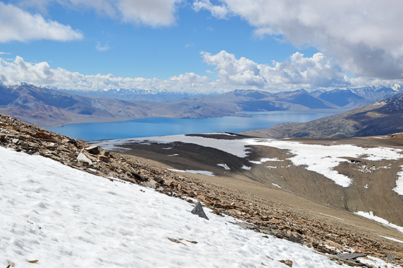
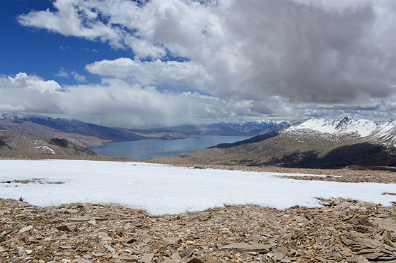
at 5700m almost 2h later. The lake Tso Moriri, our final
target of
the trek, is now visible. We climb with just 2 altitude meters per
minute, increadibly slow! But, at this pace we can handle it! Even I
start to feel a little optimistic. I haven't hit
the wall yet...
|
|
|
|
|
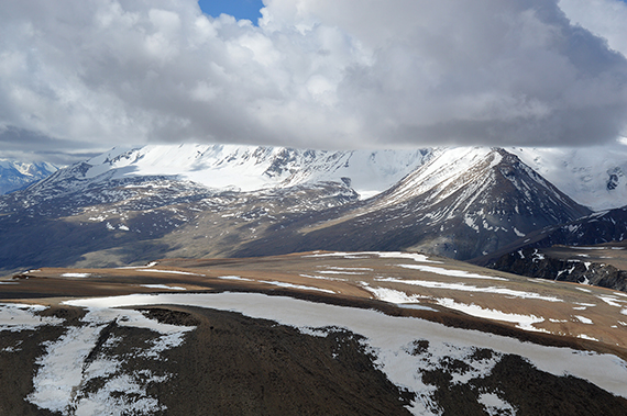
Dramatic
picture with towering cumuli clouds over Mentok Peaks. |
The
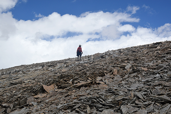
slope isn't very steep. The stones could have been
worse and harder to
step on. But the climb is grim and
slow. Move one foot a bit forward.
One more step... But
now we can see the summit plateau level out, just
a bit overhead. We will get there. |
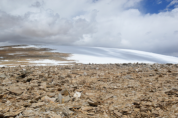
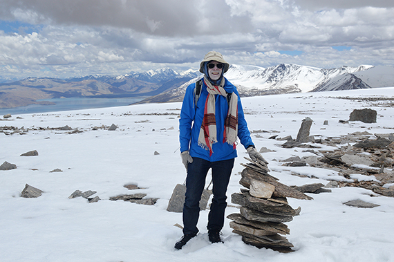
As
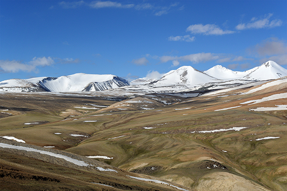
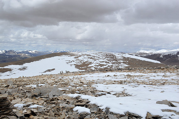
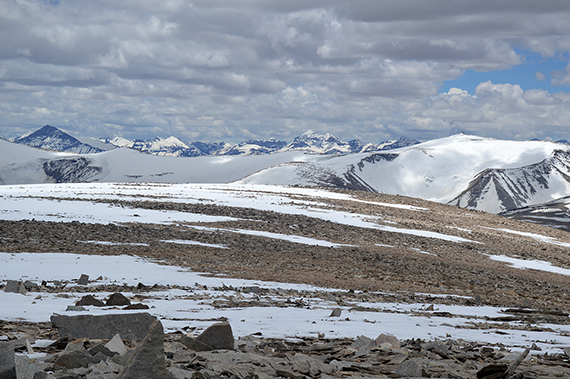
it's getting close to 12:00, we enter the summit plateau. From here
it's
just a big flat area with a slight inclination to the south peak. We
are on a lower peak now, just
above 6000m, looking south towards Tso Moriri.
|
|
|
 |
The
route from this lower peak to the main summit is a
little more than 1
km, with maybe a 70m climb, that
actually takes a while. |
A
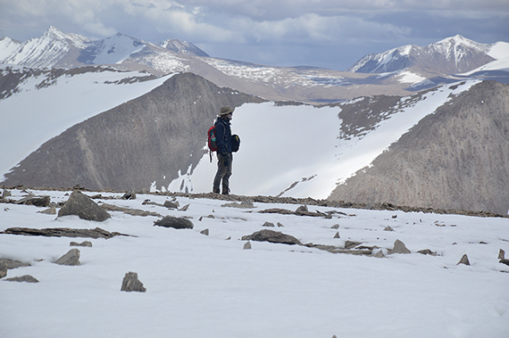
little after 12:00 we reach the summit. We needed about 5,5h to get
here. We have moved very slowly all the way,
not to overload our
bodies. I believe that was good tactics. |
Yalung
Nongs northern peak is sometimes regarded as the main one. But several
independent GPS measurments show that the northern peak is about 6063m,
while the southern is about 6080m. Actually, it's clearly visible with
the naked eye that the northern peak is a bit lower. To reach it you
will first have to descend to about 5950m. For that reason we choose
not to go there, especially since the views are best from the south
peak.
|
|
|
|
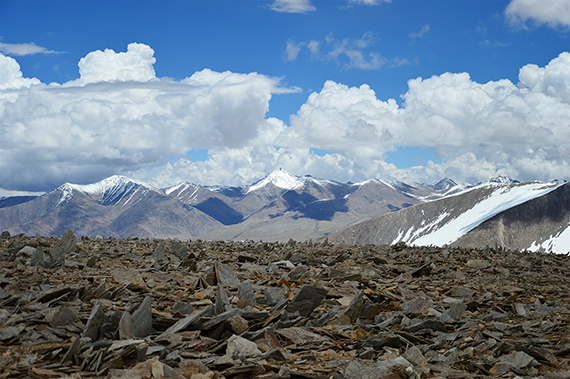
| Looking
to the northeast. |
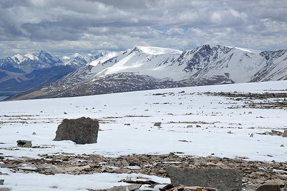
Parts
of Gyama Peaks, to the southwest. |
Mentok
Peaks
|
|
|
|
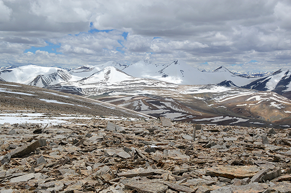
| Zooming
in to the southwest. |
We
have been up here for one hour now, and it's time to
start thinking of
the descent. Neither of us want to do that. Dante is taking it all in,
before the inevitable descent.
Once started, we descend to BC in 1h 20
min.
|
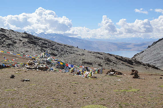
9/7: Time to
leave BC and descend to the village Korzok at Tso
Moriri. The camp is being packed, while Dante and I start
moving towards the final pass, Yalung Nyau La 5440m.
|
|
|
|
At
the
pass after one hour. From here it's another 3h down
to Korzok. |
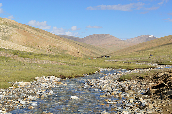
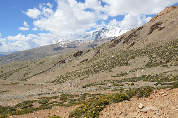
Moving
down into the valley you can see the Mentok Peaks
up to the right. The
highest peak reaches 6277m. |
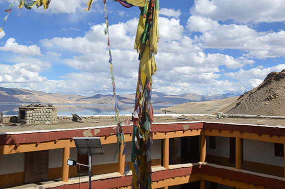
Now we
have reached our final destination, Korzok at the lake Tso Moriri on
about
4500m. Here is a look from the monastery.
|
|
|
|
| Straight
to the south is Gya Peak, 6794m. Tibet starts somewhere over
there. |
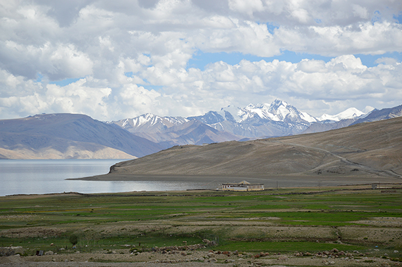
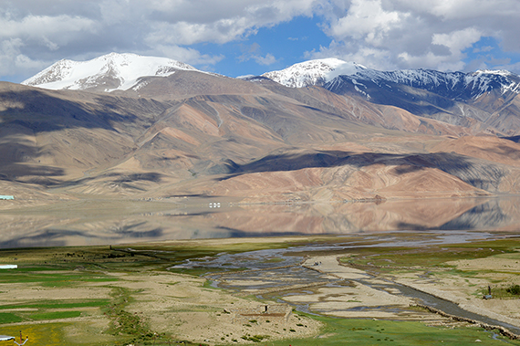
The
lake shows its very best side now. With a mirror blank surface it's
hard to see where land ends and water begins. Behind the lake
are
two giants, Chamser Kangri
and Lungser Kangri, 6620m and
6666m. I want
to thank
Gesar Travel for skillfully
making this trek a very
memorable one.
|
|
