|
|

|
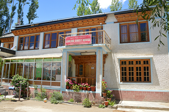
After
losing two days to rain and a bad stomach, our plans
now must be somewhat adjusted. Today the weather, as
well as my stomach are better,
so we start directly from
our nice gusthouse Lehling. |
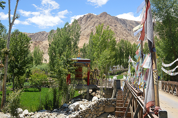
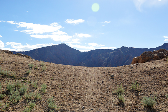
First
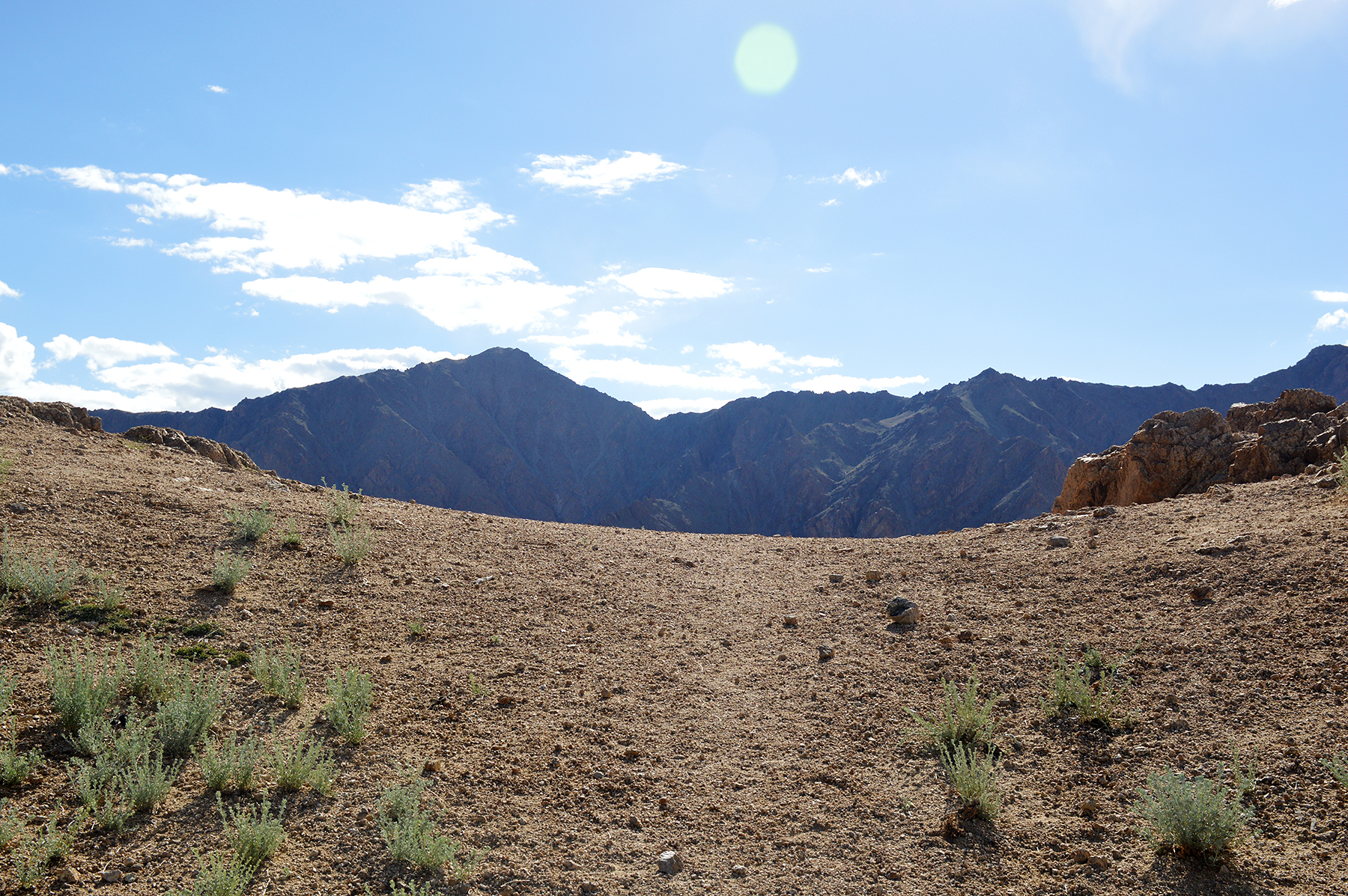
we walk towards Shanti Stupa, but then turn north.
The summit
is visible in the middle of this picture. |
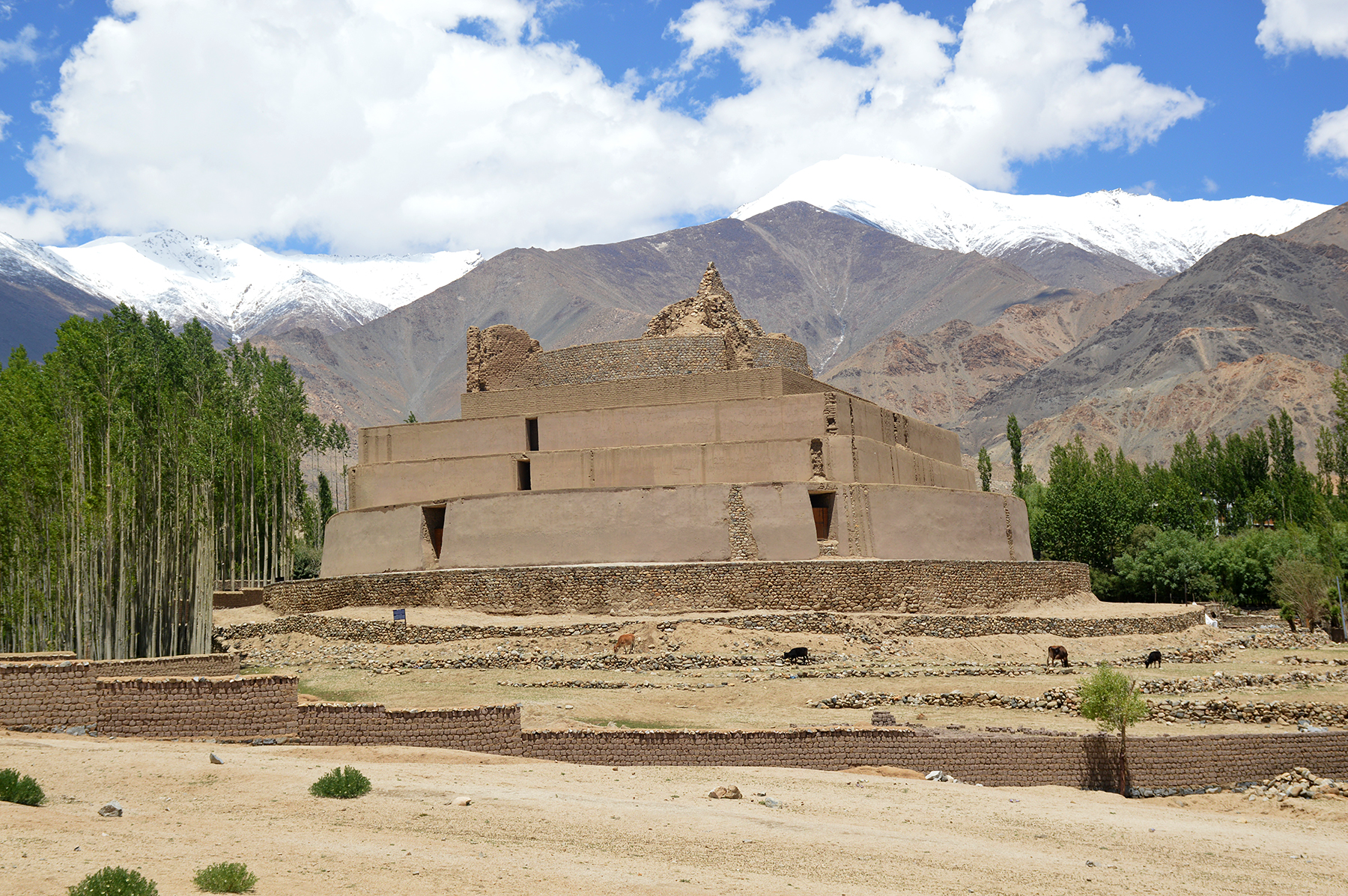
Tisseru
Stupa, more than a thousand years old.
|
|
|
|
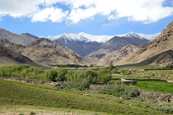
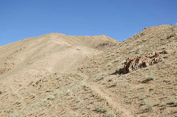
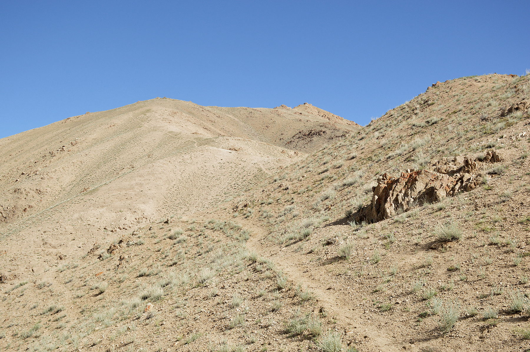
| There is a side valley to the left (north
west), leading up towards the high passes to Phyang. |
At 3770m you turn left again, following the
path up to a
pass. |
According
to my altimeter the pass is at 3970m.
|
|

|
|
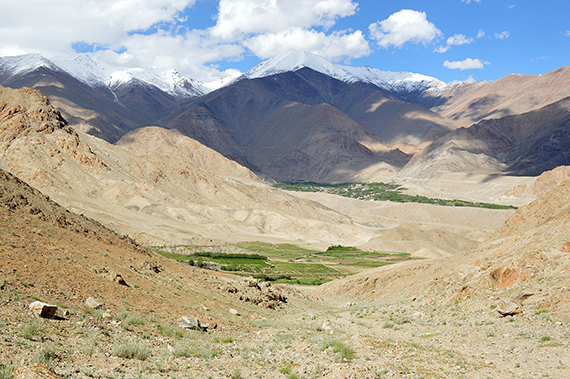
| From
here you follow the path to the left, leading to to the
summit. |
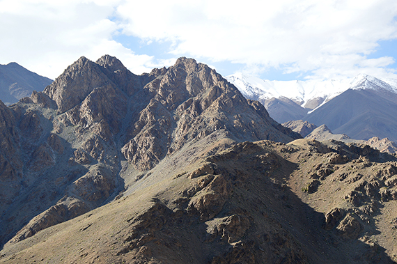
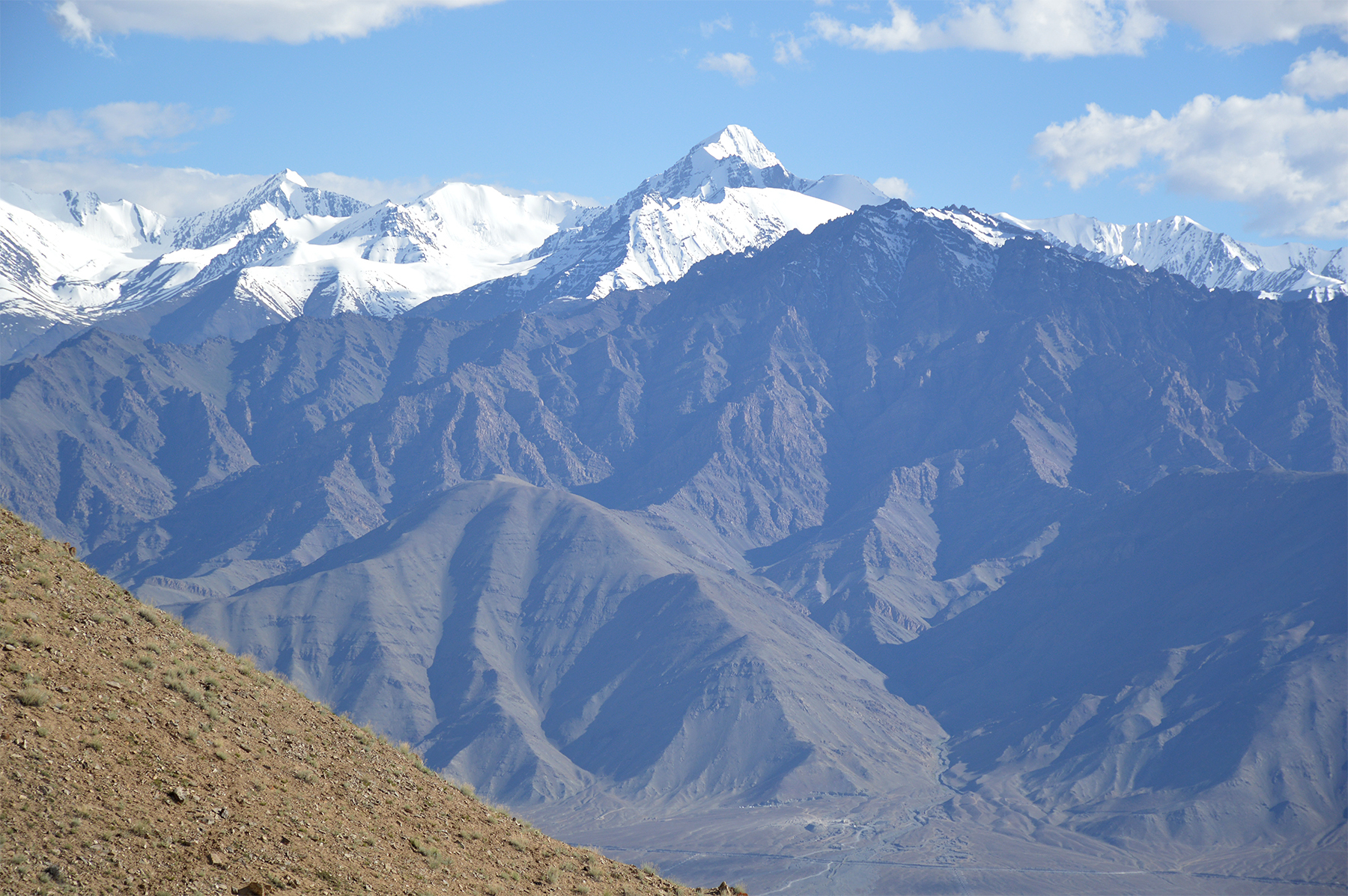
Stok
Kangri (6120m) seen from about 4000m altitude.
I want to emphasize that
this picture is not processed
and changed. The colors were this deep
and the visibility almost unlimited. |
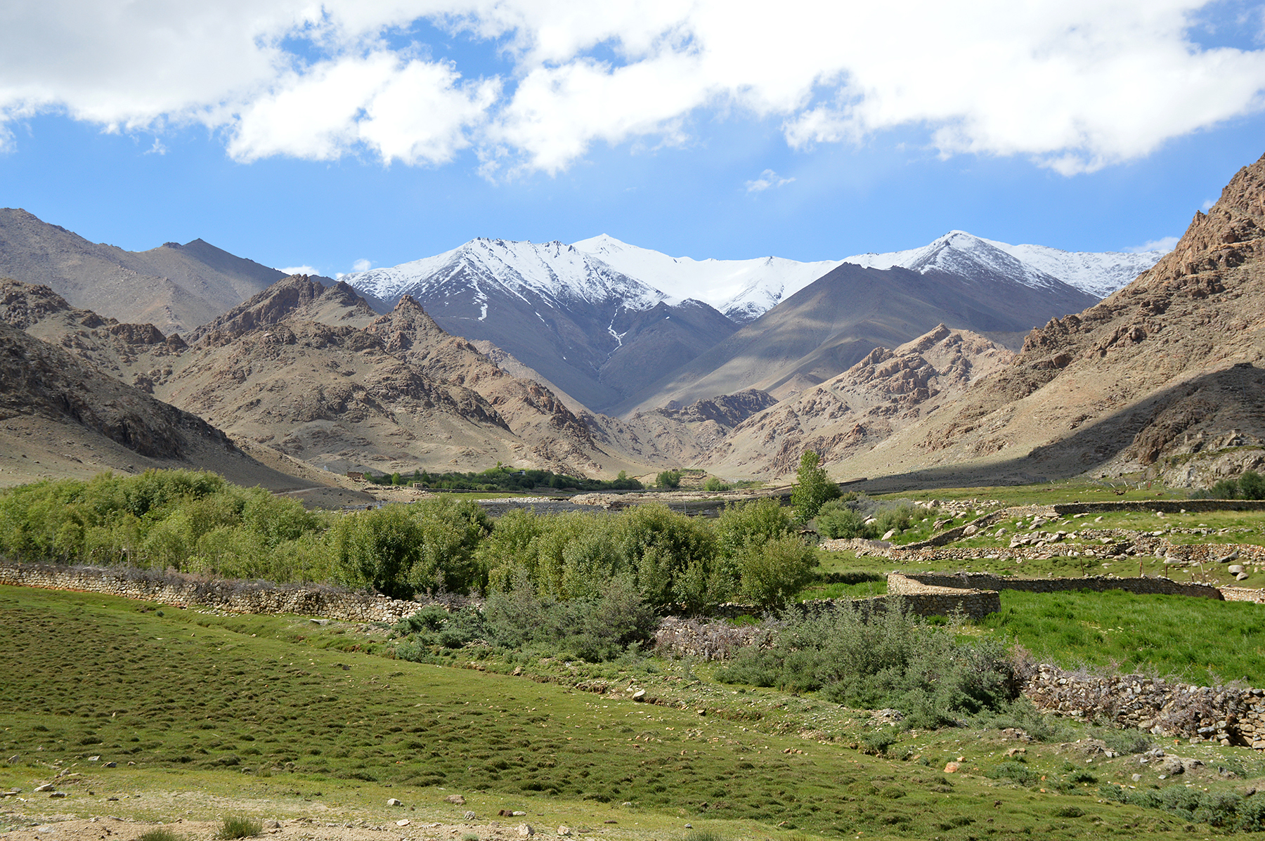
Mountains to the north.
|
|

|
|
|
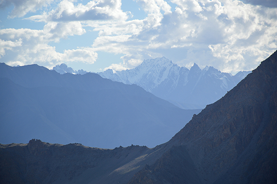
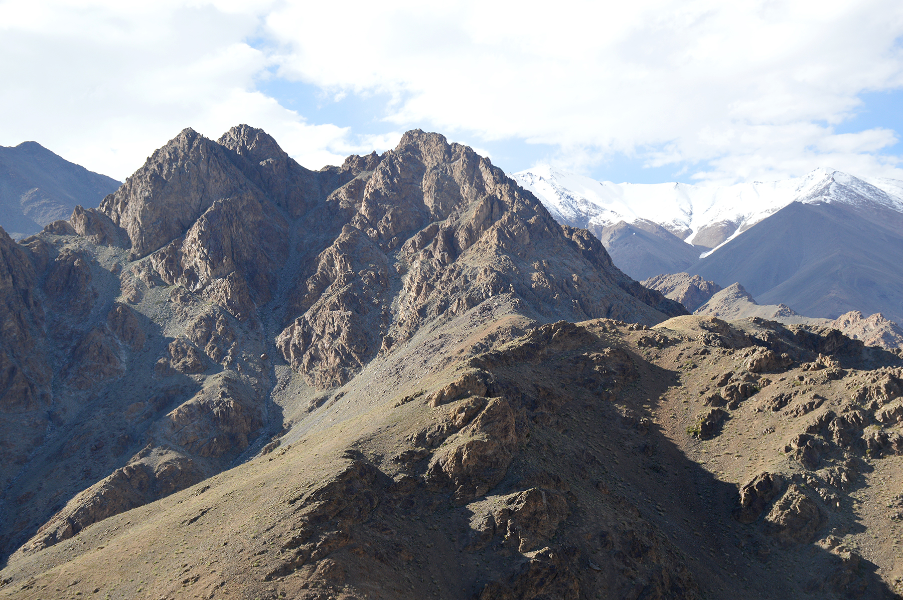
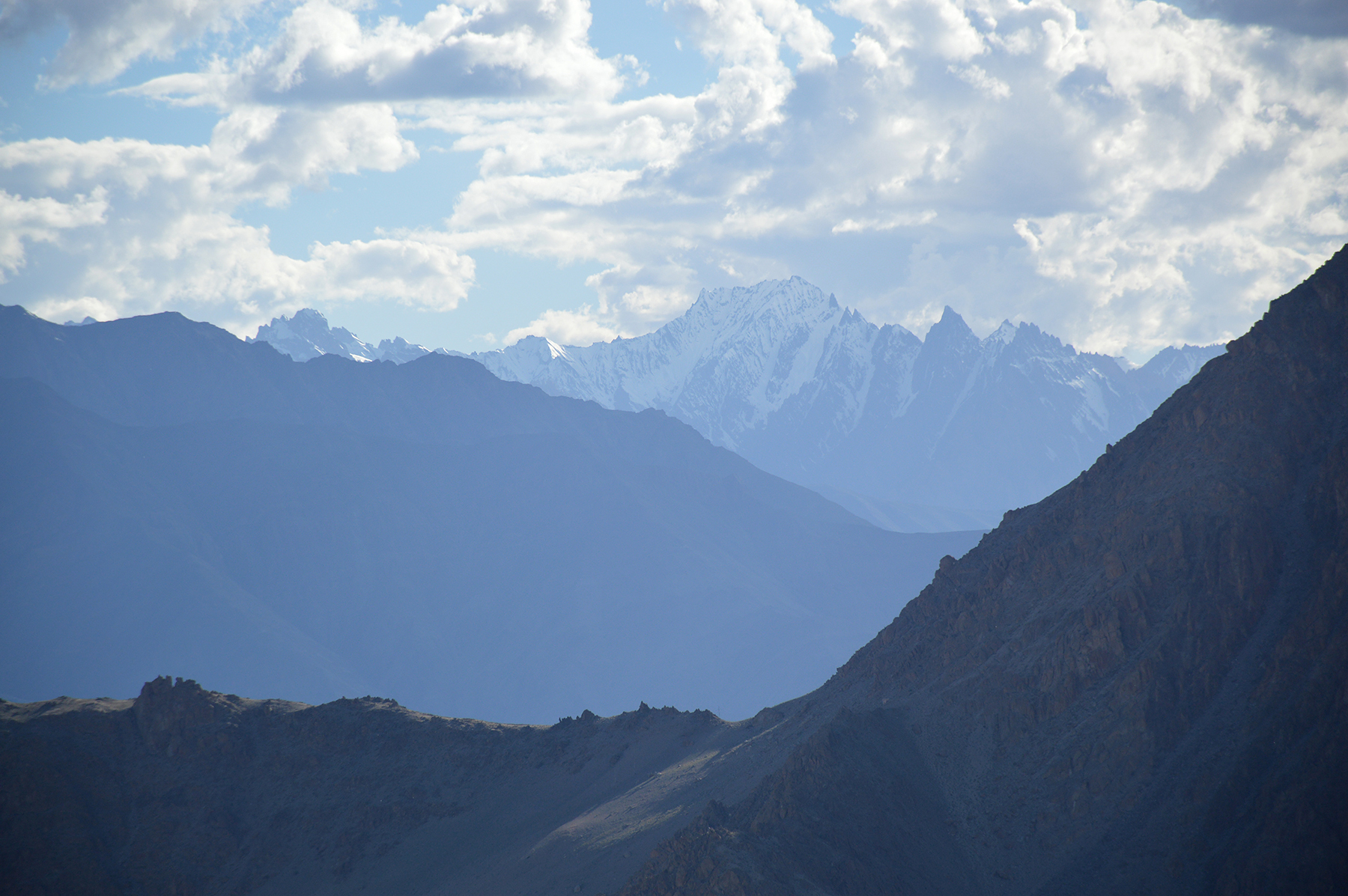
Zooming
in the sharp peaks at Zanskar Valley. |
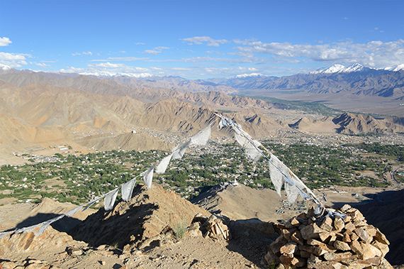
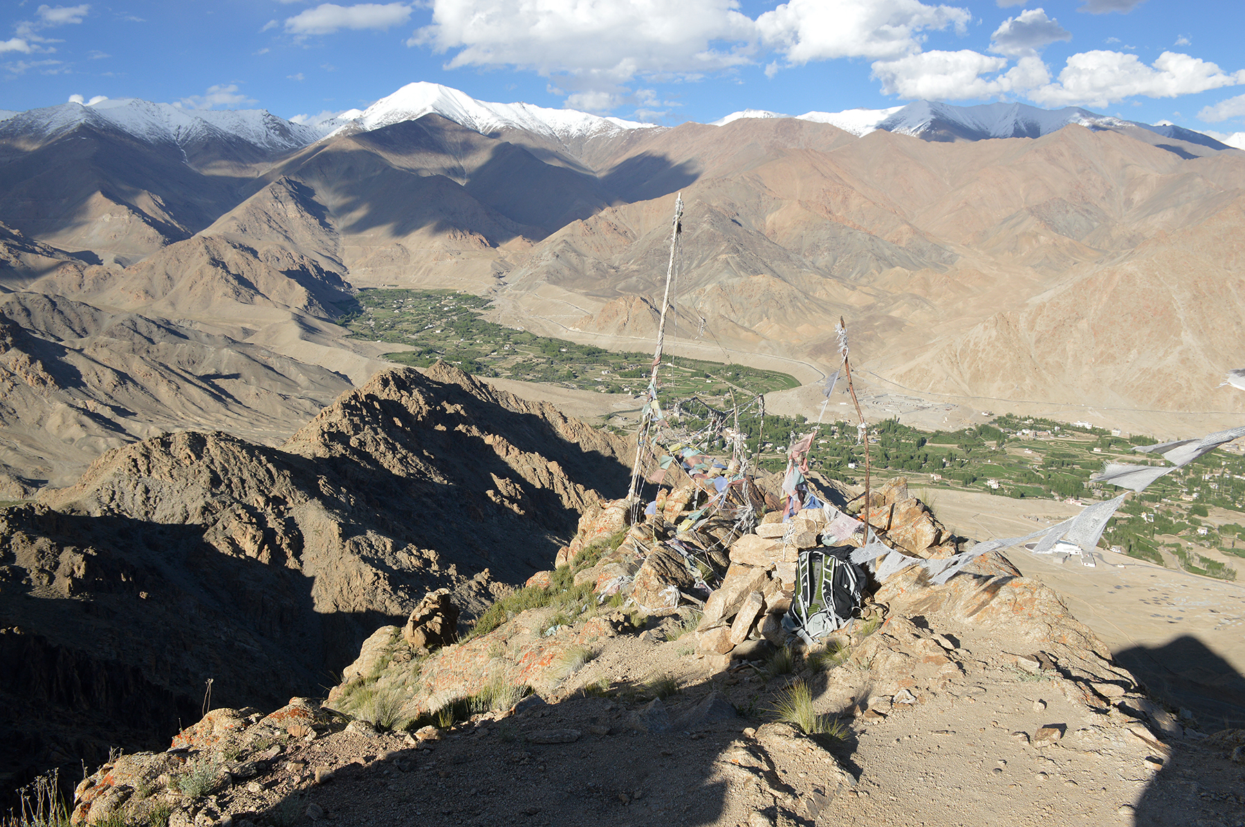
At the
summit, 4130m. Here is looking down into the valley north of Leh. |
And
here is Leh.The Indus Valley is seen further behind.
|

|
|
|
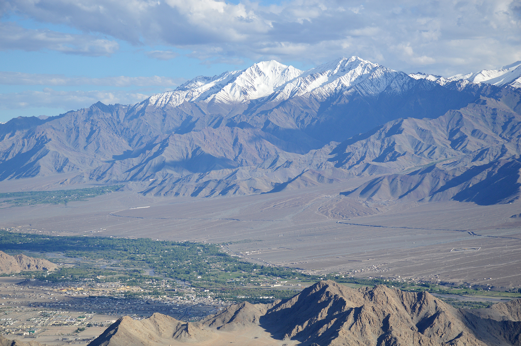
Zooming
in the Indus Valley to the east. Parts of Stok
Range in the background. |
|
|


