|
|
|
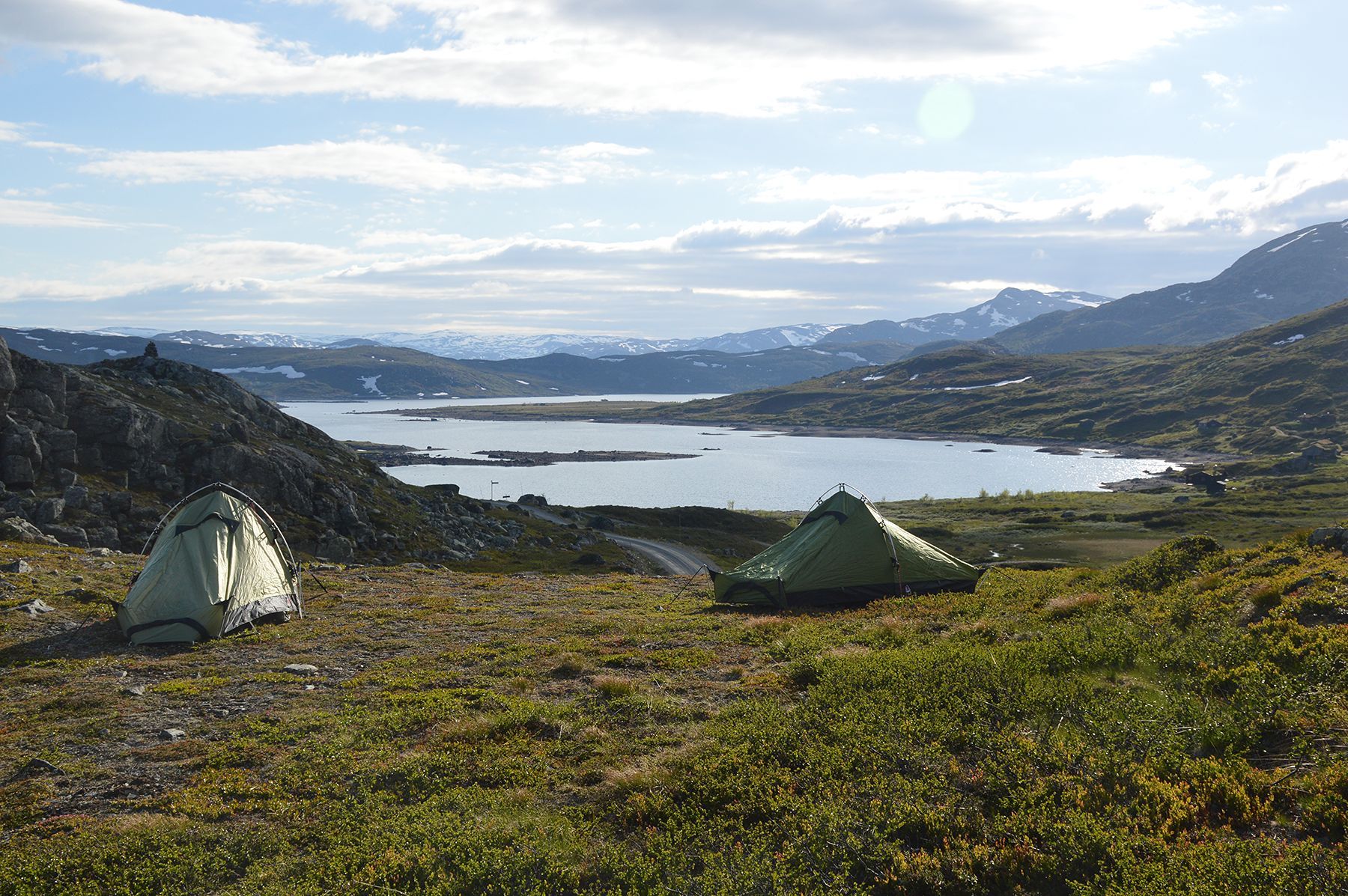
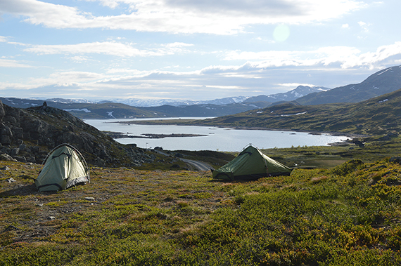
This
is a training trip for the Himalayas in two weeks. We
want to make sure everything works as it should, and
set up basecamp
at 1150m altitude by the lake Vavatn. Here
is tha starting point of the trail to
Ranastongi. |
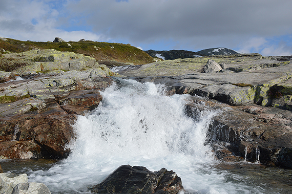
We
start the climb in the following morning. For a while, the trail
follows a brook. |
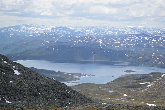
A
look back to Vavatn from about 1500m.
|
|

|

|
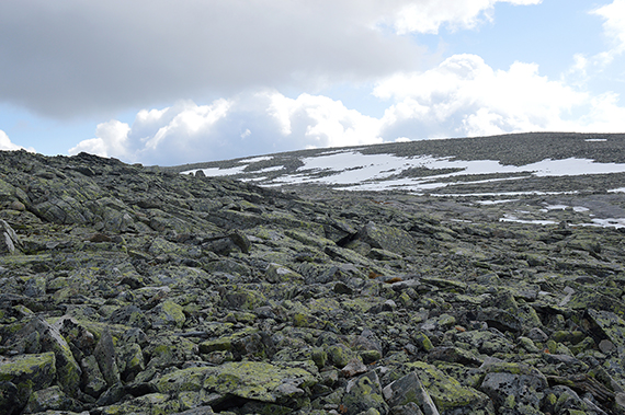
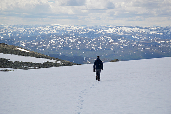
| From 1700m altutude we
enter a flat plateau, leading on towards the
summit. It's still about 2km to walk. |
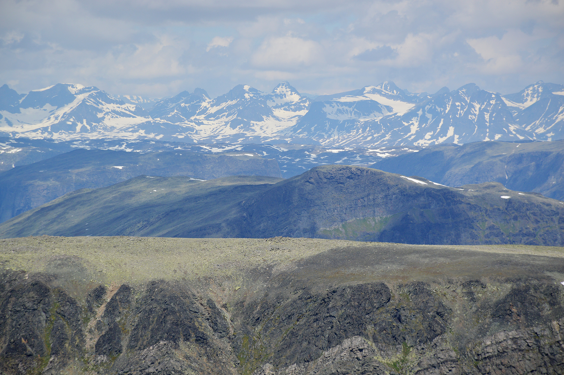
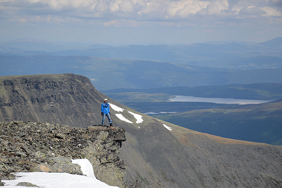
Here we
have reached Midtre Ranastongi 1888m. Jotunheimen is visible
in the distance to the north. |
The
main summit, seen from Midtre Ranastongi.
|

|
|
|
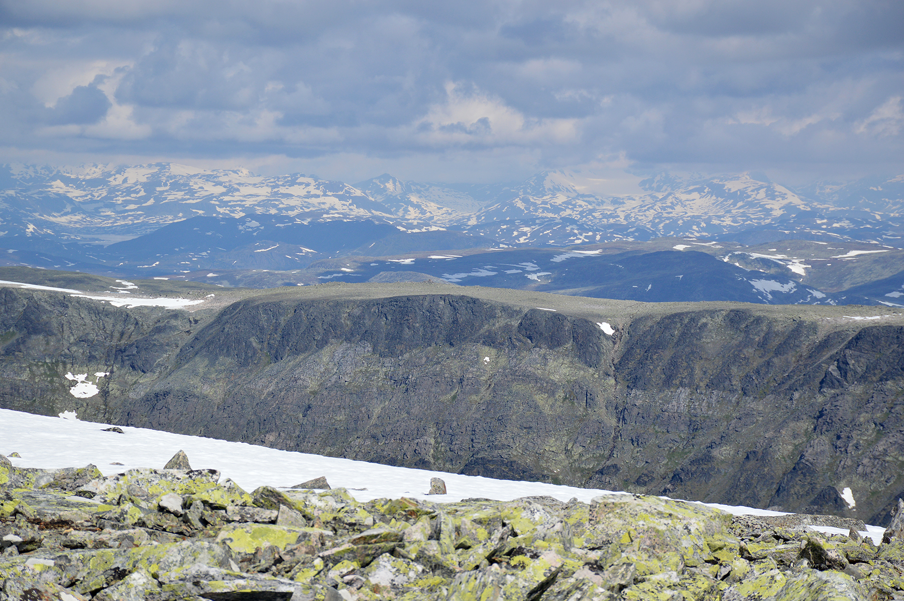
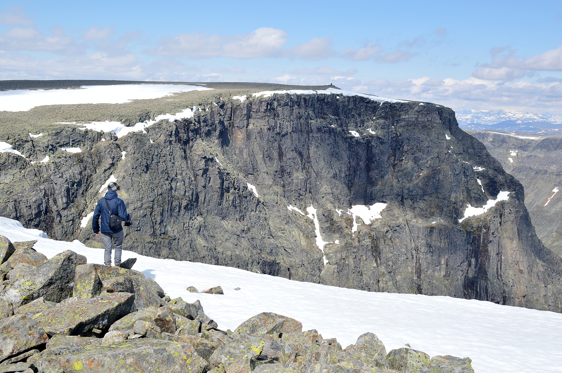
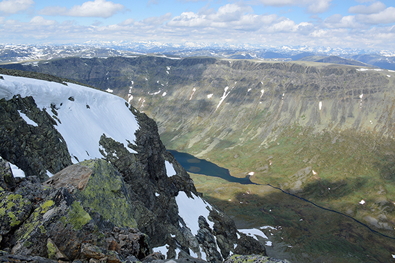
And
here is looking in the opposit direction, from the main
summit. The flat
plateau ends abruptly with steep cliffs,
down to the
valley Hestebotten. The mountains
Hemsedalsfjellen are in the
background. |
If I
look a bit careful, it's because the drop down is about 600m...
Klanten, 1768m is on the other side of the valley. |
The lake
Hestebottentjernet at the bottom of the valley.
|

|
|
|
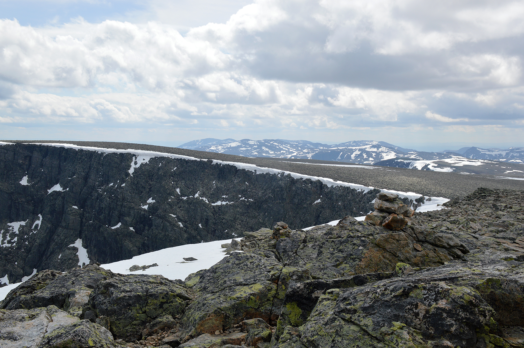
Another zoom
towards Jotunheimen in the north. That
view, plus the valley
Hestebotten, makes Ranastongi
a very beautiful place. |
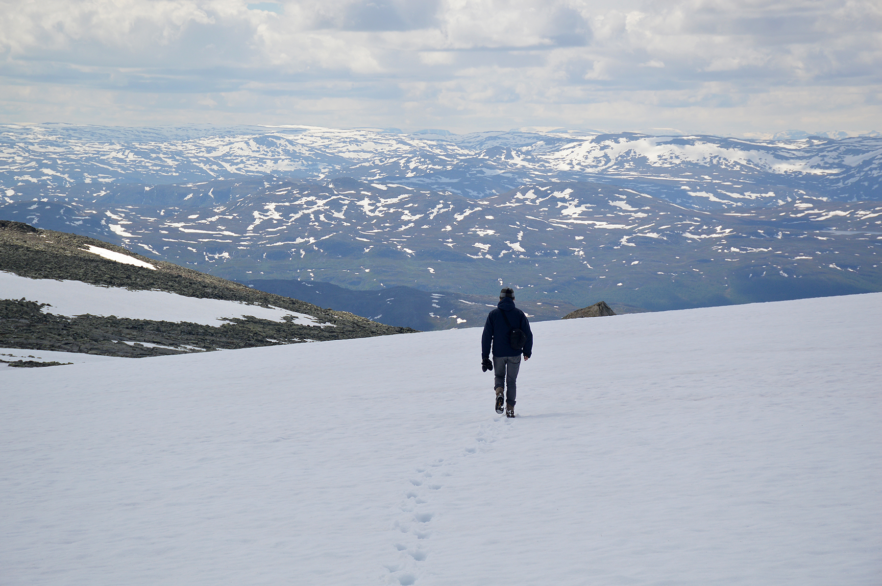
Descending
again, over the snowfields. We reach the car
in just 1h 50min. My
training on the hill Isaberg at home
seems to be paying off... |
|