|
|
|
After
one resting day at basecamp, it's time for our summit
attempt.
After a couple of days with poor weather it looks
a bit better
today.
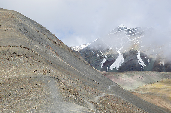
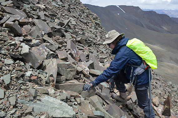
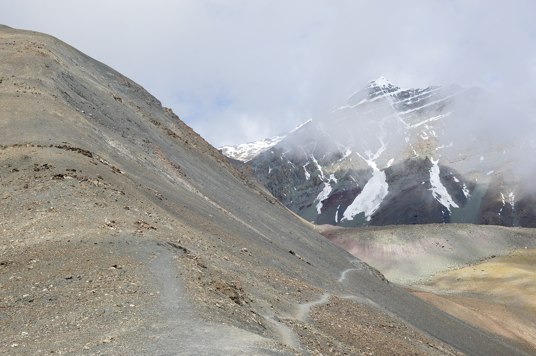
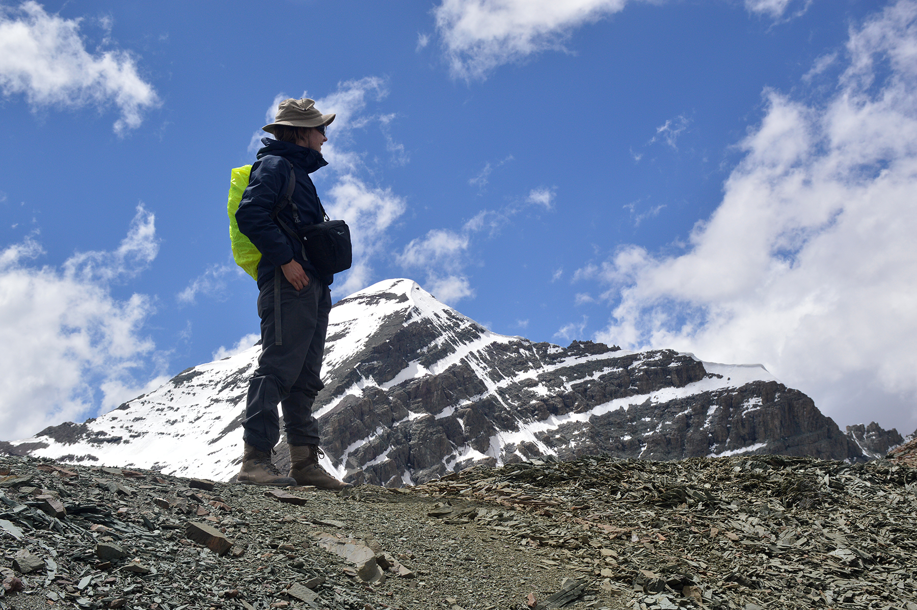
At first we follow the route leading
towards Stok Kangri, up on a ridge
some 140 meters over
BC. We need half an hour to get there. After that
we follow
the ridge up left. |
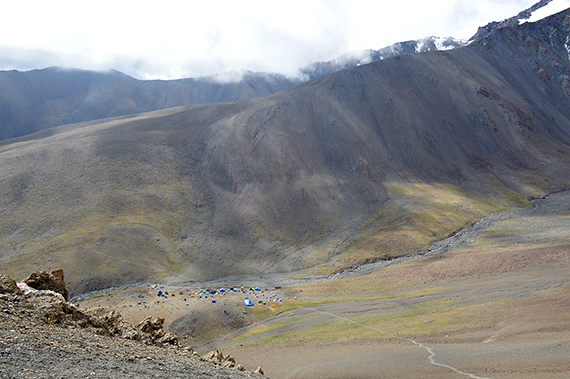
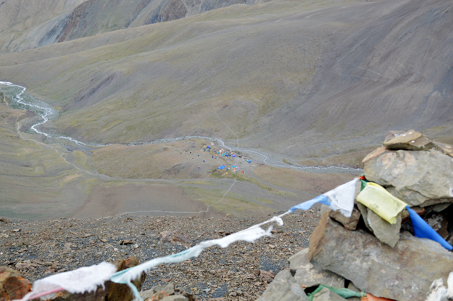
A look back towards basecamp from the pass
at 5125m. |
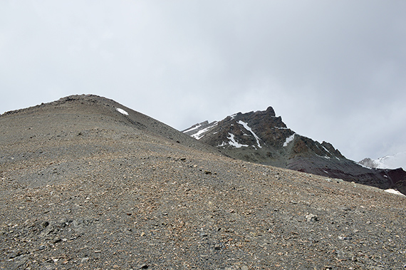
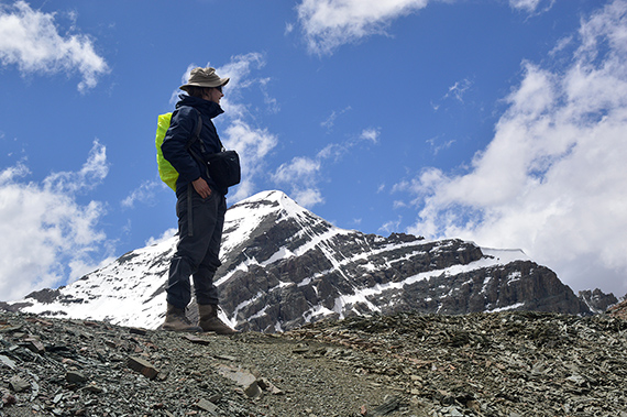
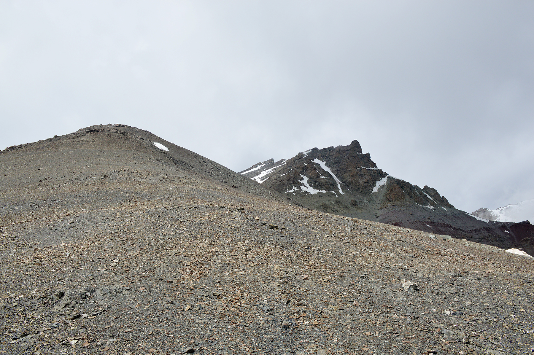
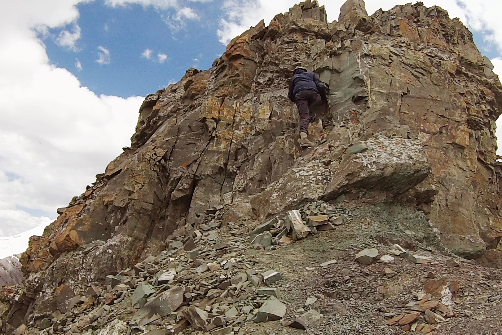
As
we slowly climb the technically simple ridge towards the lower summit,
the main summit begins to appear to the right. Slowly yes,
because of the altitude of course. Nothing is easy up here,
everything takes time.
|

|
|
|
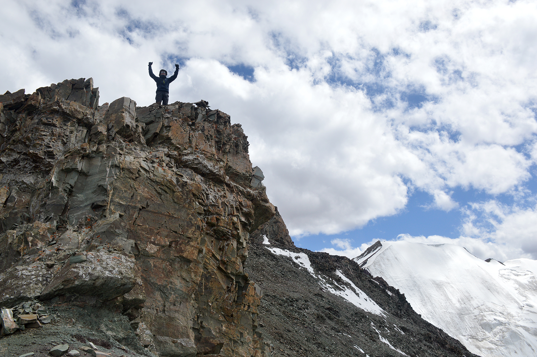
Eventually
we reach the lower summit, at 5430m. Here
is BC from the
summit. I have seen several pictures from
here on the internet,
where people
claim to be at 5670m. That's totally wrong. The path
leading on towards
the main summit, will now be something completely
different. |
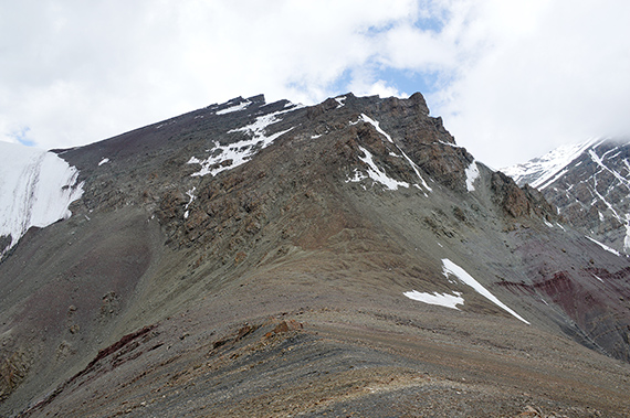
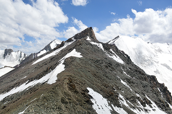
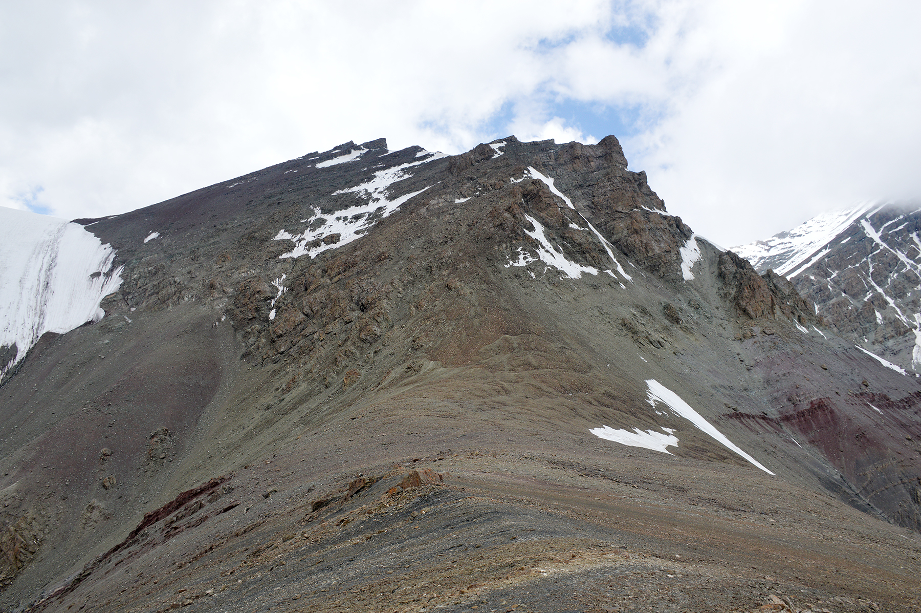
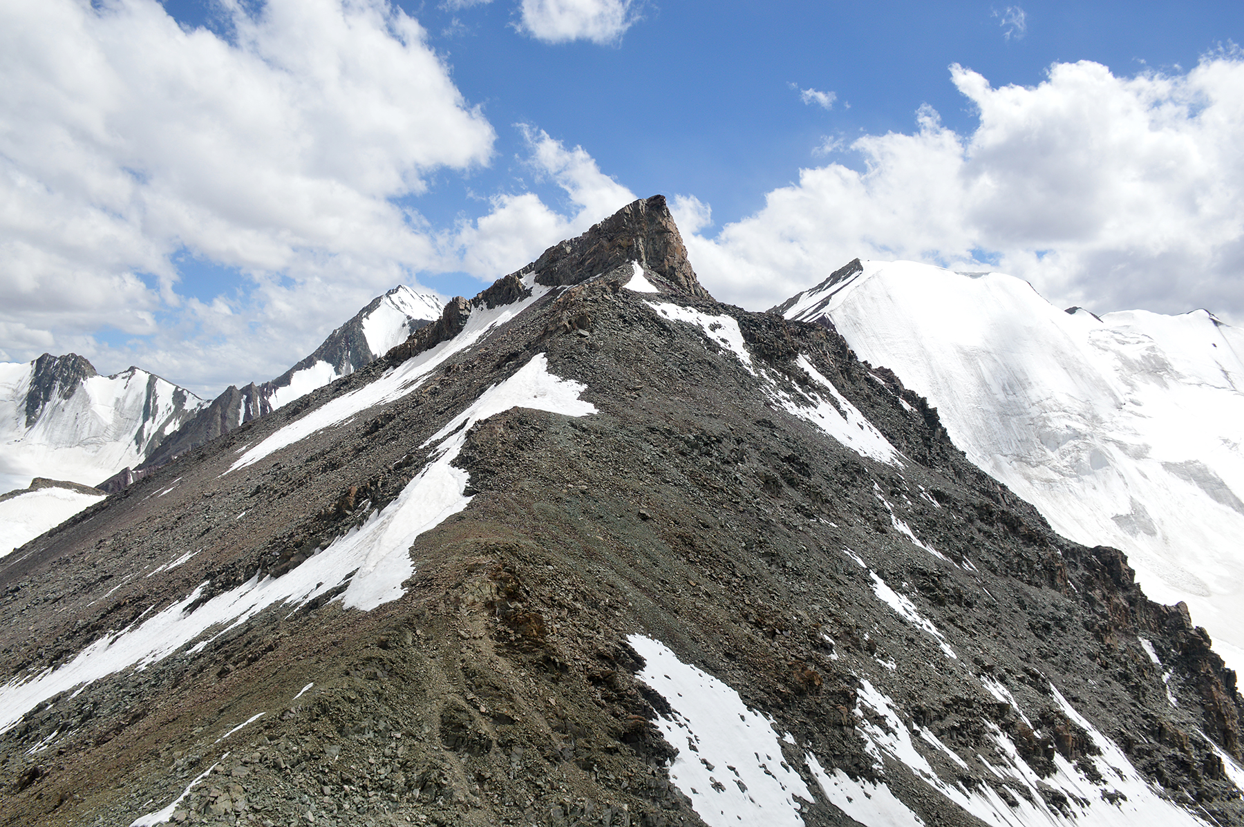
Here's
the main summit, seen from the lower summit. This
is where the real climb begins. We climb the least steep
sections in the
middle of the
picture, the turning right,
following some cliffs towards the
summit. |
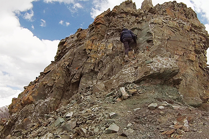
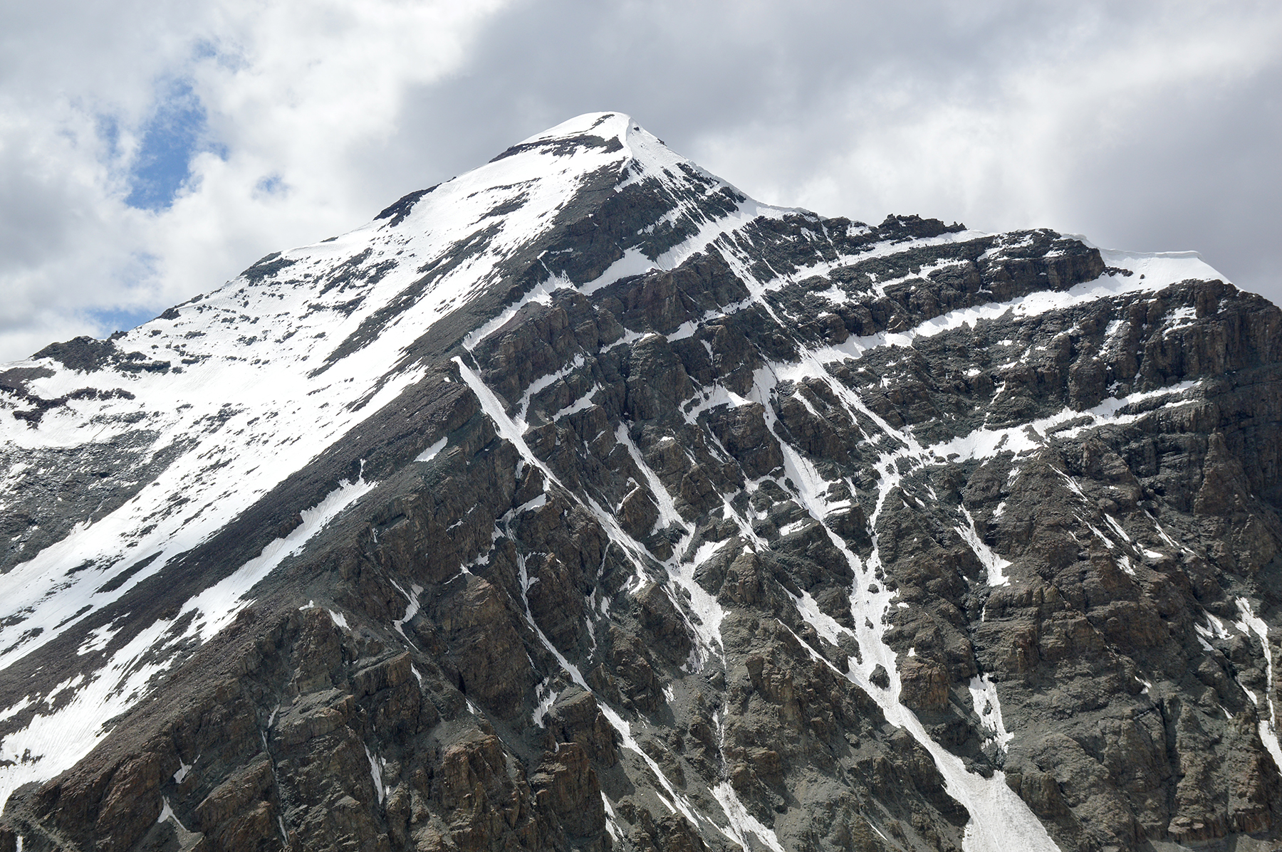
Here
we begin to reach the steeper section. From here the hands are
used a
lot. There are a few markers but not much. We try to see the tracks
from others and follow them to find the best way up.
|
|
|
|
And now we are given a
different form of entertainment.
Far up in the north, there are several
tornadoes forming.
We often see more than one at the same time. Luckily
there is almost nothing but wasteland up there. The one
in the middle
of this picture could have coused real
damage. |
Dante
has reached the crest, only the final climb to the
summit remains. We
have felt some dizziness for the
last 200m, and it has been
difficult to get oxygen to the
muscles. We've had numerous of small brakes to catch
our
breath. But apart from that we feel ok. |
The
final climb to the summit is about 10m of real climbing, that means
no scrambling. But there are good points for hands and
feet and we feel quite ok going up here. Of course, the altitude makes
it necessary to
take extra care. So we do move slowly up here, not to make any
misstakes
because of slow
thinking
|

|
|
 |
| Dante
on the summit. |
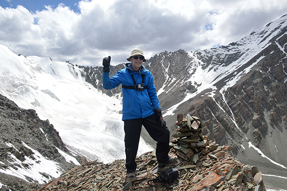
Well,
here I am on the
quite sharp summit. Behind me
are cliffs leading down to the Stok
Kangri Glacier, with
the steep slopes leading up towards Stok
Kangri on the
other side. We
chose the right peak today. We climbed it,
even if it was a bit tough
towards the end. Neither one of
us would have wanted to go any
higher. |
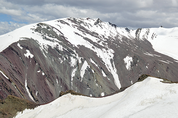
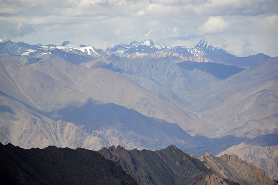
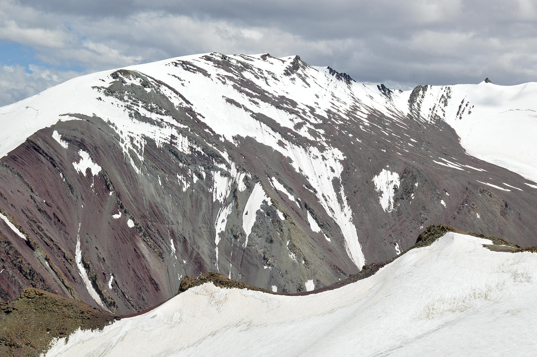
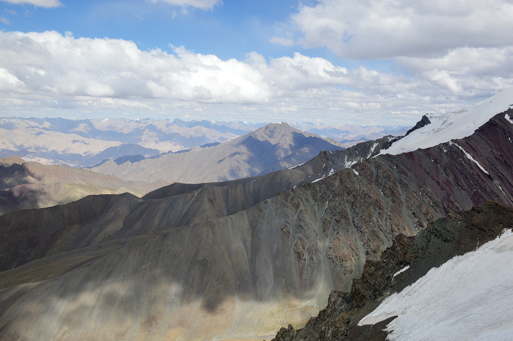
Golep Kangri 5950m, to the southeast. |
 |
 |
 |
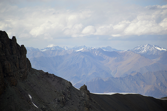
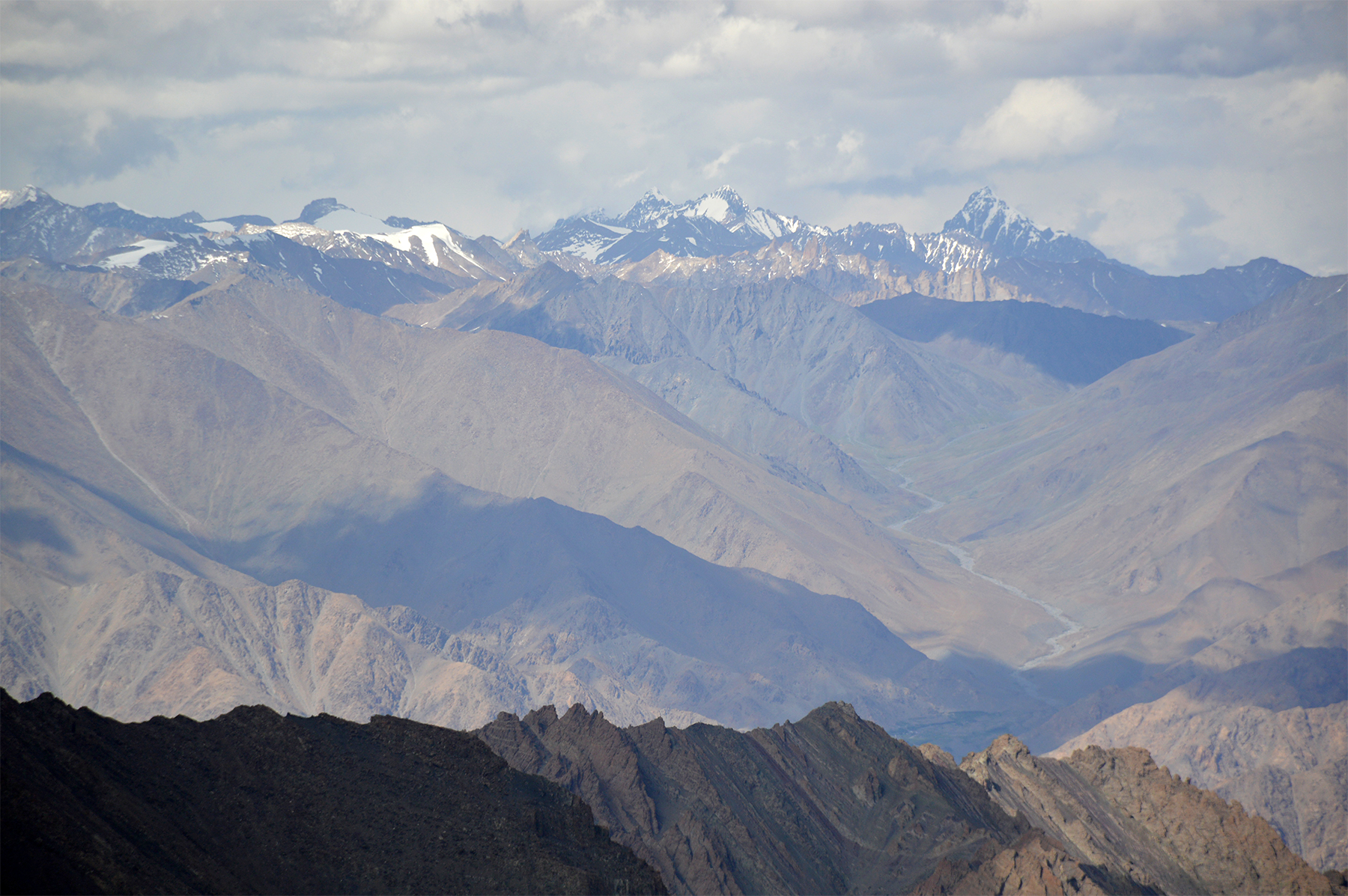
| Straight
to the south, just to the left of the dark peak in the
middle, is Shuku Kangri 6000m. |
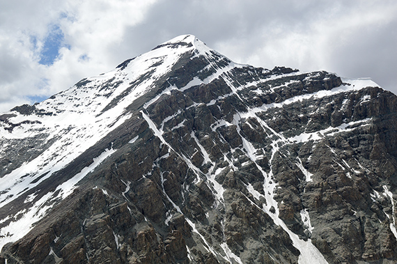
And
here is Stok Kangri 6120m, almost straight to the
west. |
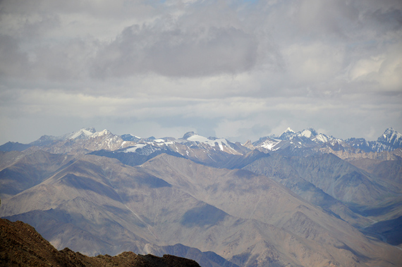
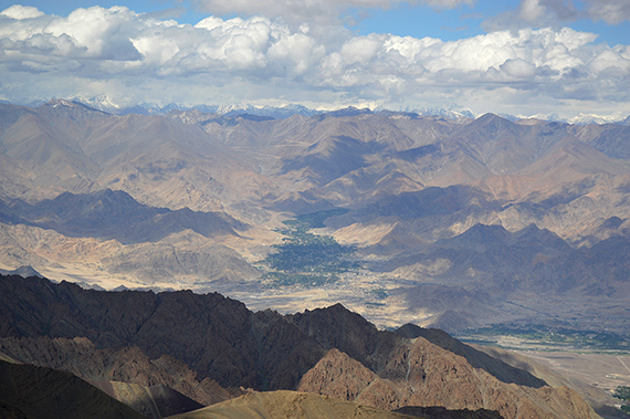
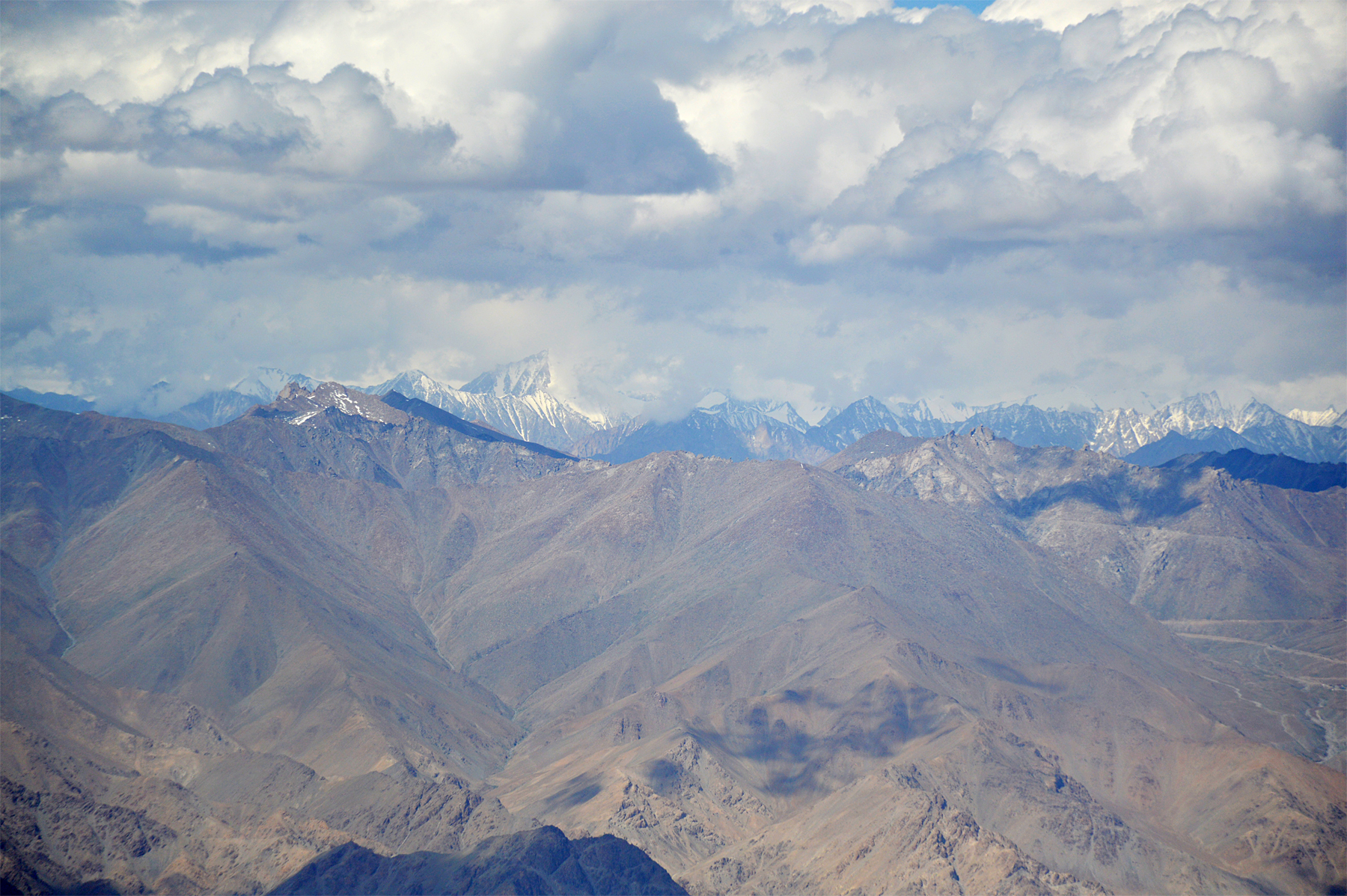
Almost
straight north is Leh, looking as a green oasis in
the middle of the
picture. Closer, and going from left to
right, is the Indus valley. |

|
 |
|
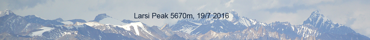
Zooming
in on the 6435m peak, a little to the left in this picture.
The Saser
peaks would be to the left of it, but
aren't seen better than this. |
Far up
in the north north west is K2. Unfortunately we don't have the
visibility to see it today. |
To the
right in this picture isTelthop 6185m.
|


