|
|
|
Day
1, 9/7 2015: After 3 days in Leh at more
than 3500m,
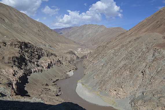
We take off. Here is the Indus river seen from the
taxi,
taking
us from Leh to Zinchen. |
Arriving
in
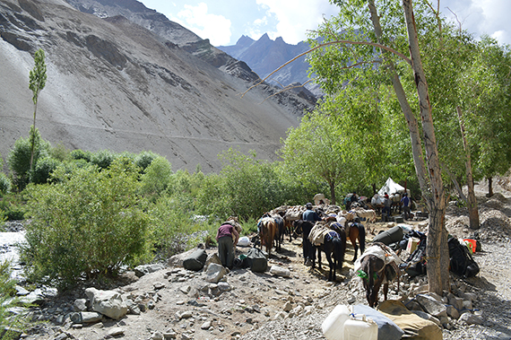
Zinchen at 3350m. Here are plenty of horses
and donkeys
prepairing to walk Markha Valley trek. We
are not going that
far, just a
shorter trek to acclimatize for higher altitudes. |
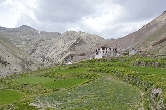
A
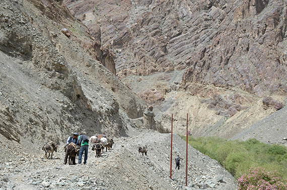
road is being built between Zinchen and Rumbak. Even electricity is
beeing drawn to Rumbak. This means that the river crossings
that
were nessecary earlier, don't have to be done anymore.
|
|
|
|
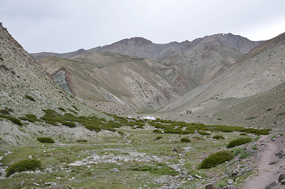
As
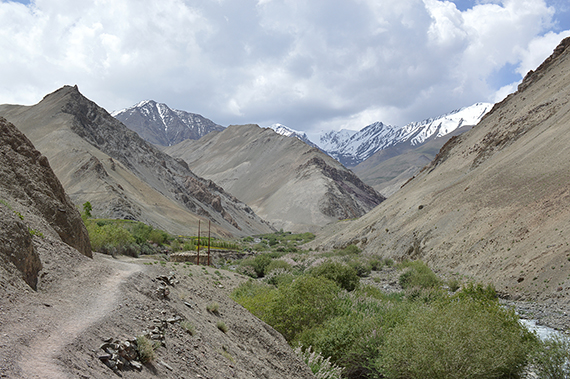
you approach Rumbak after about 3h, the narrow
gorge opens up to a
wider valley. Behind it are the higher, snowcapped
mountains. Here
is
a teatent at 3860m,
where you can get some drink or snacks. We
stay for a
cup of tea. |
We
continue to the small village of Yurutse (one house) at 4150m altitude.
This is a homestay, meaning you can get
food and a bed here. Our
original thought was to stay here
with our tents, but since we are
feeling ok we decide to
climb the short way to Ganda
La
Base Camp. |
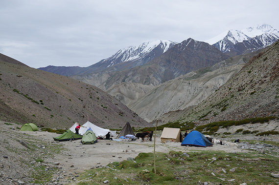
Less
than one hour later we reach Ganda La Base Camp at 4330m. Here
is a teatent where you can get food, plus place to put up your
tent.
|
|
|
|
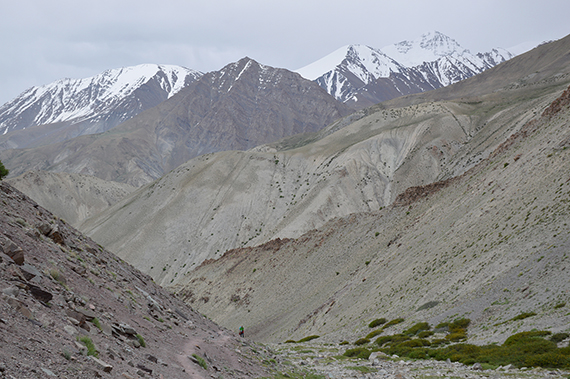
Dante climbing towards Base Camp. In the
background
to the right, we can now see Stok Kangri, 6120m. |
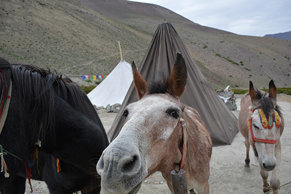
The
teatents are normally made of old army parachutes.
Our tents are the
two small green ones in front of the
white teatent. |
A happy
horse.
|
|
|
|
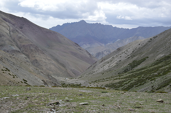
Day 2, 10/7 2015:
From almost
4500m, Base Camp is
still visible down there. We have a light packing
now,
since we will return to Base Camp. |
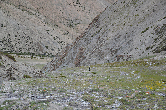
Dante
climbing, now at about 4600m. We
really begin to
feel the thin air now, must walk slowly. |
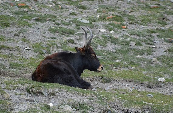
Short
before the pass we pass a flock of yaks.
|

|
|
|
| Plus
one or two marmots. |
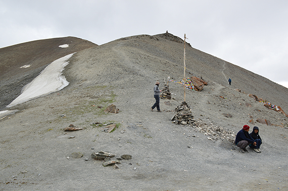
Ganda
La Pass, 4980m. This is one of the routes leading
to Markha Valley, and many trekkers pass it any normal summers
day. It's
concidered a
difficult passage because
of the altitude, especially if you haven't
acclimatized
properly. Without any acclimatizing you should not try
going up here, it would be very dangerous. In the
backgroumd is a viewpoint, and behind it
the summit of
Ganda Ri. |
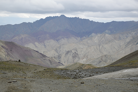
The
route further towards Markha Valley, to the west.
|
|
|
|
| A look
back to the east, where we came from. |
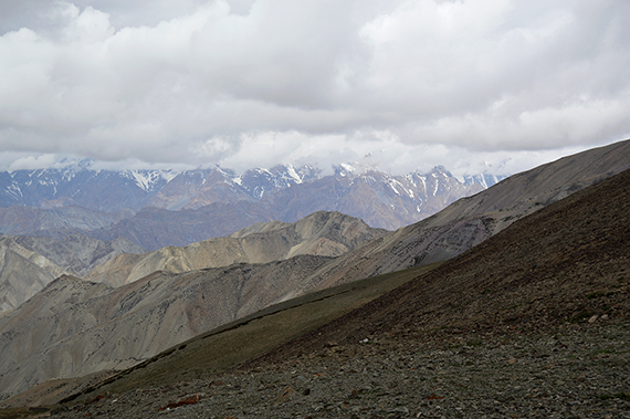
Parts
of Zanskar Range, to the west. Unfortunately, many peaks are covered
with clouds. |
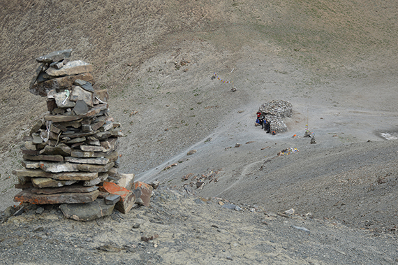
Here's
the pass, seen from the viewpoint at 5020m. It's with great effort we
climb now. The air is thin.
|
|
|
|
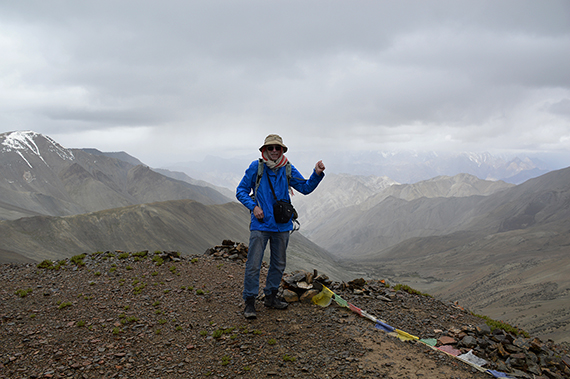
But
we make it, just as the weather collapses and it starts
hailing. My
altimeter shows 5110m, so I use that as official altitude,
since there
are quite different opinions about the
altitude up here. The first
5000-meter summit, yes! |
|
|
