|
|
 |
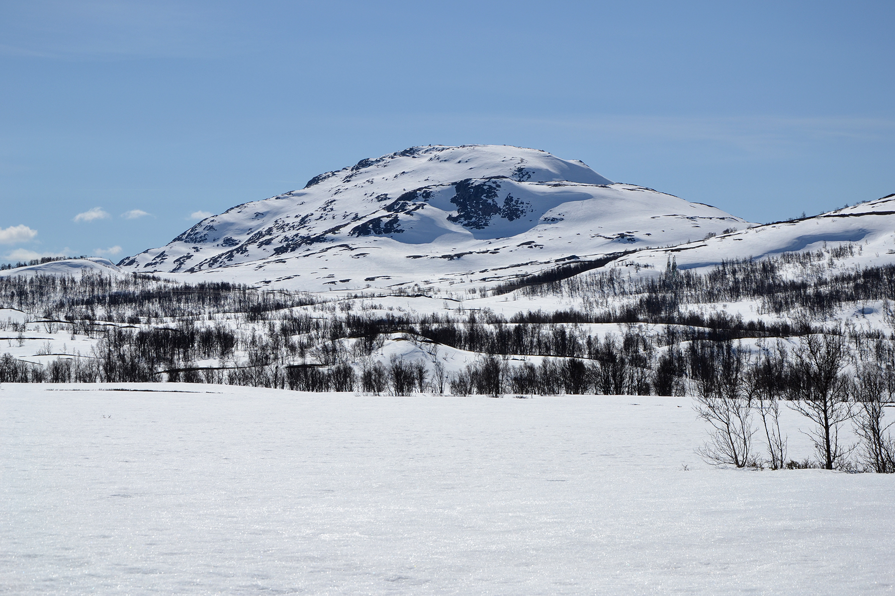
Bossnuten,
visible from the road going west, from Rjukan
over
Hardangervidda. |
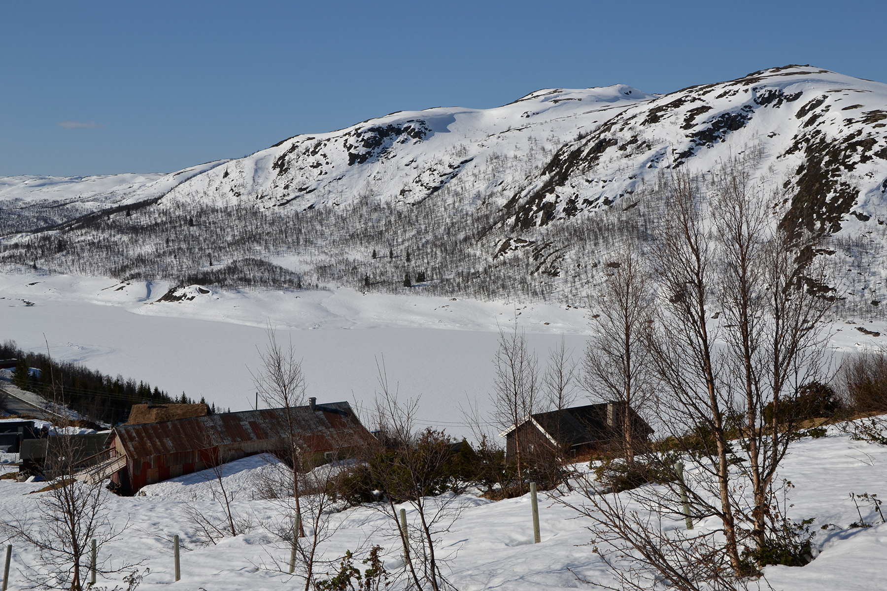
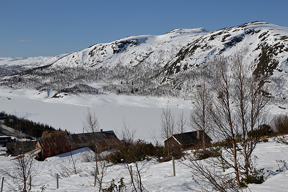
The
car is parked below Bossbøen. There is a sign
marking that hikers aren't welcome walking through the
farm, so I move around the
houses at
a proper distance. |
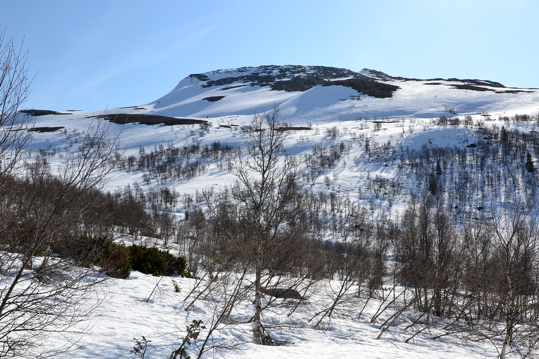
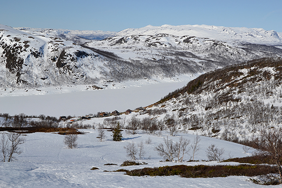
The
trail leads
up through a valley, and
then to the right towards the summit. |
 |

|
|
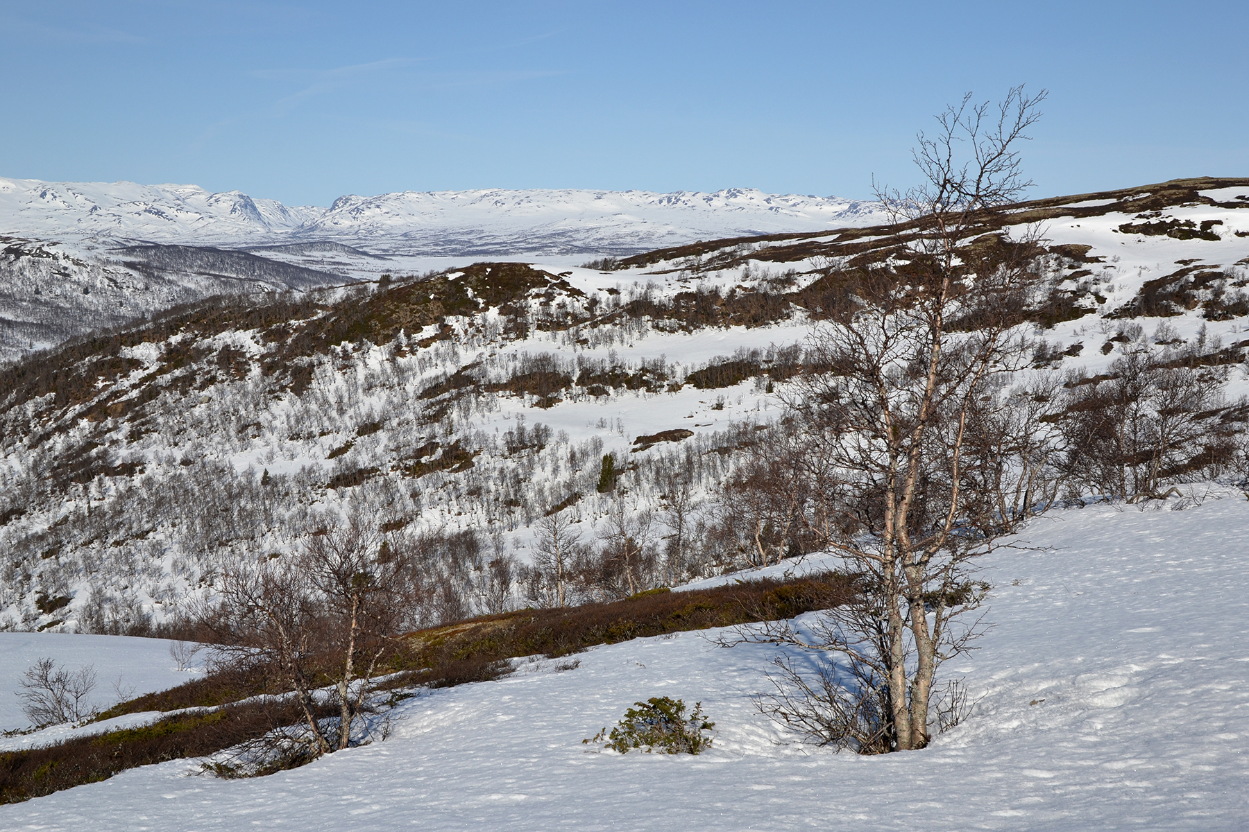
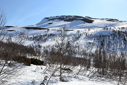
There
are a large number of ski tracks here. I don't try to
follow the trail,
but just keep a steady climb. |
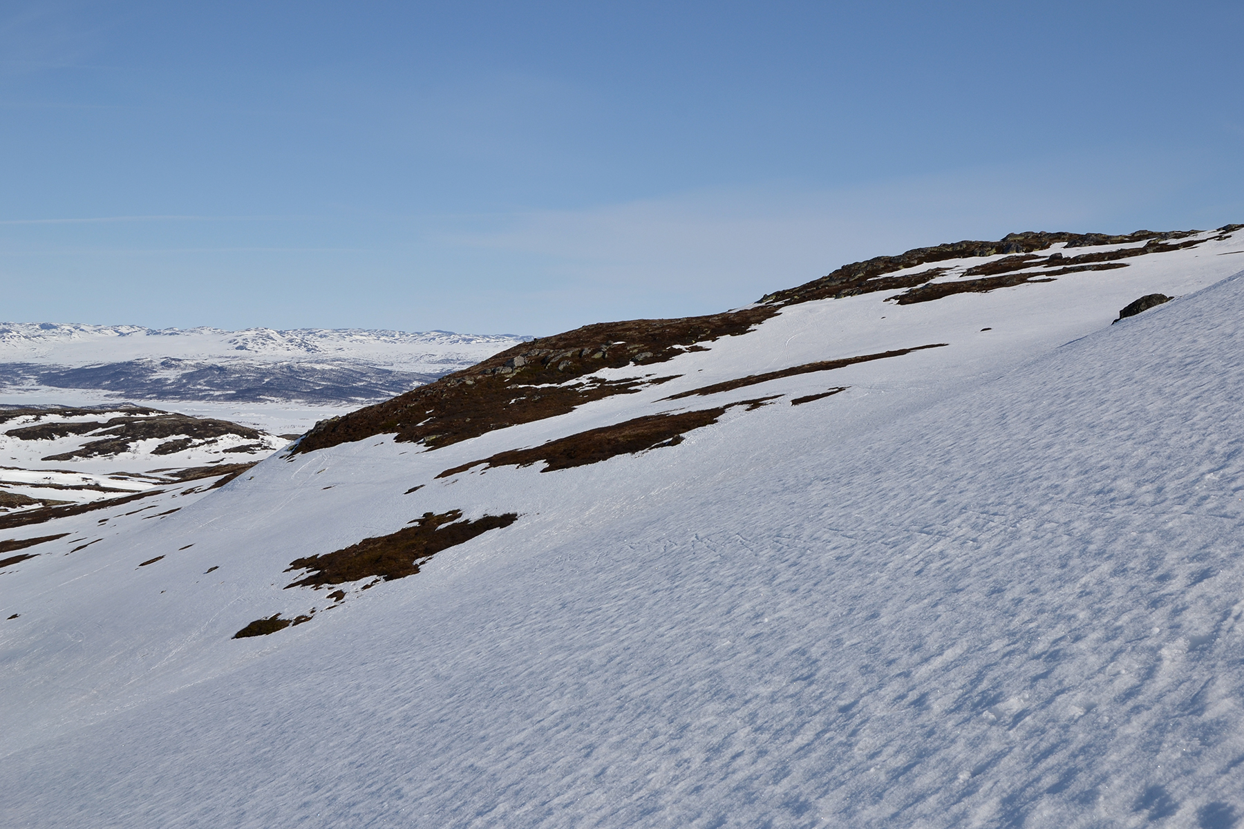
At
1130m, close to
the
treeline. The snow is so hard, that I don't bother using my snowshoes
here. My normal boots
are easier to use. |
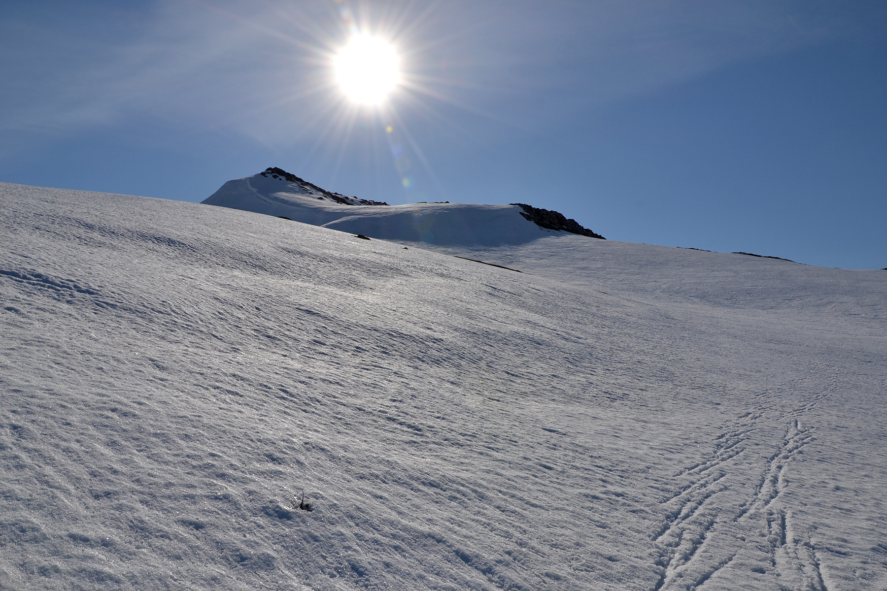
But
as I approach 1200m it gets steeper, time for the snowshoes. The
crampons provide a good grip on the hard surface. Don't be fooled by
the ski tracks. They were made before the snow got hard. |

|
|
|
| Climbing,
now on more than 1200m. |
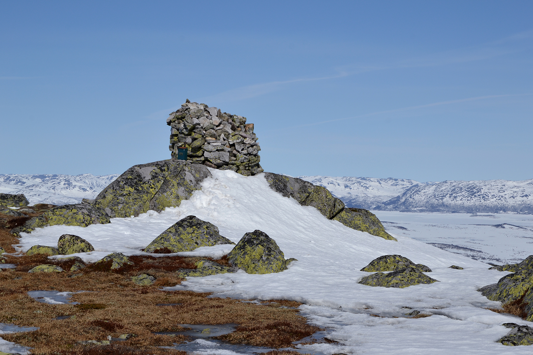
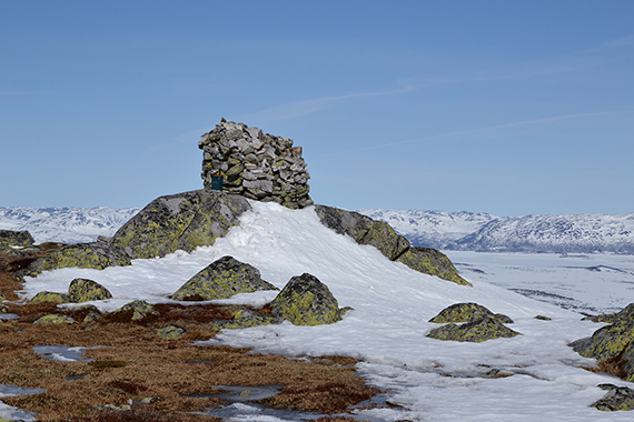
As
yesterday, I leave
my snowshoes for the final climb to
the summit. There is a large summit
cairn at high point, 1431m. I use 1,5h to reach it. |
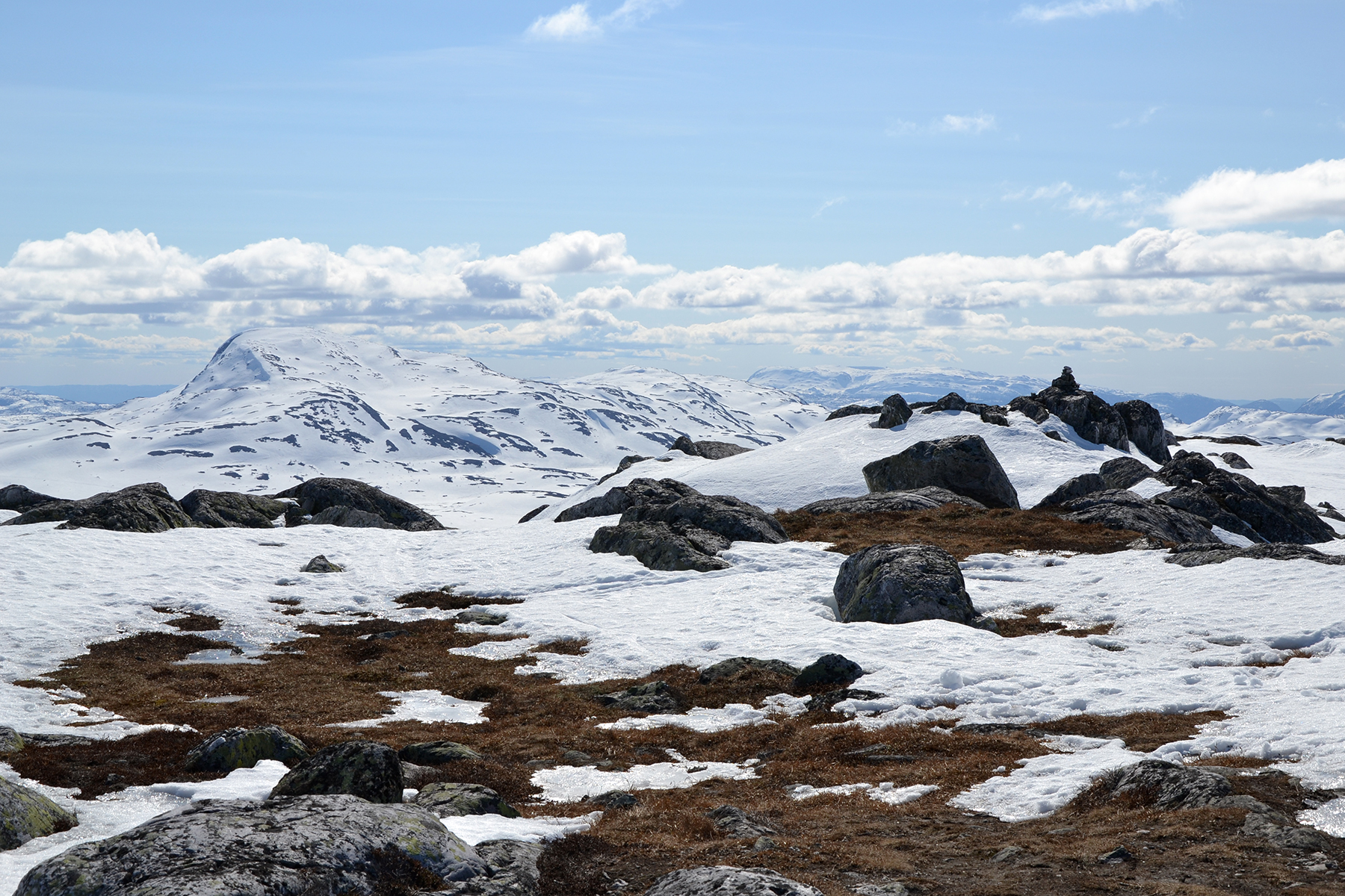
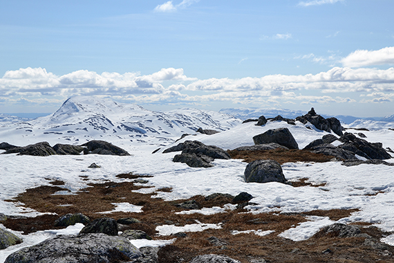
This is a beautiful summit, well
worth a visit. Here is Brattefjell, 1540m, to the southeast.
|

|
|

|
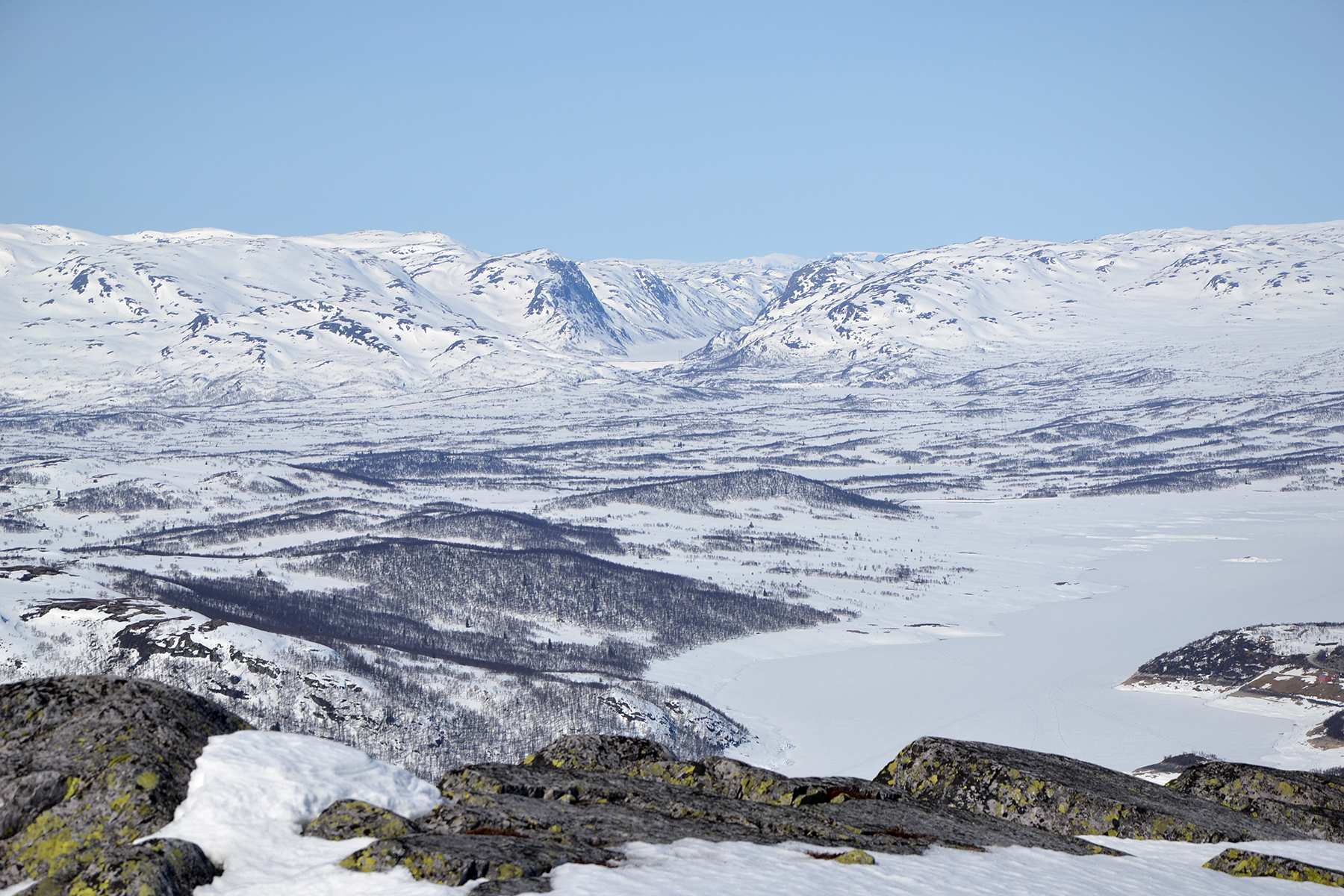
To the
northwest is Hardangervidda. The valley Bitdalen
in the middle. |
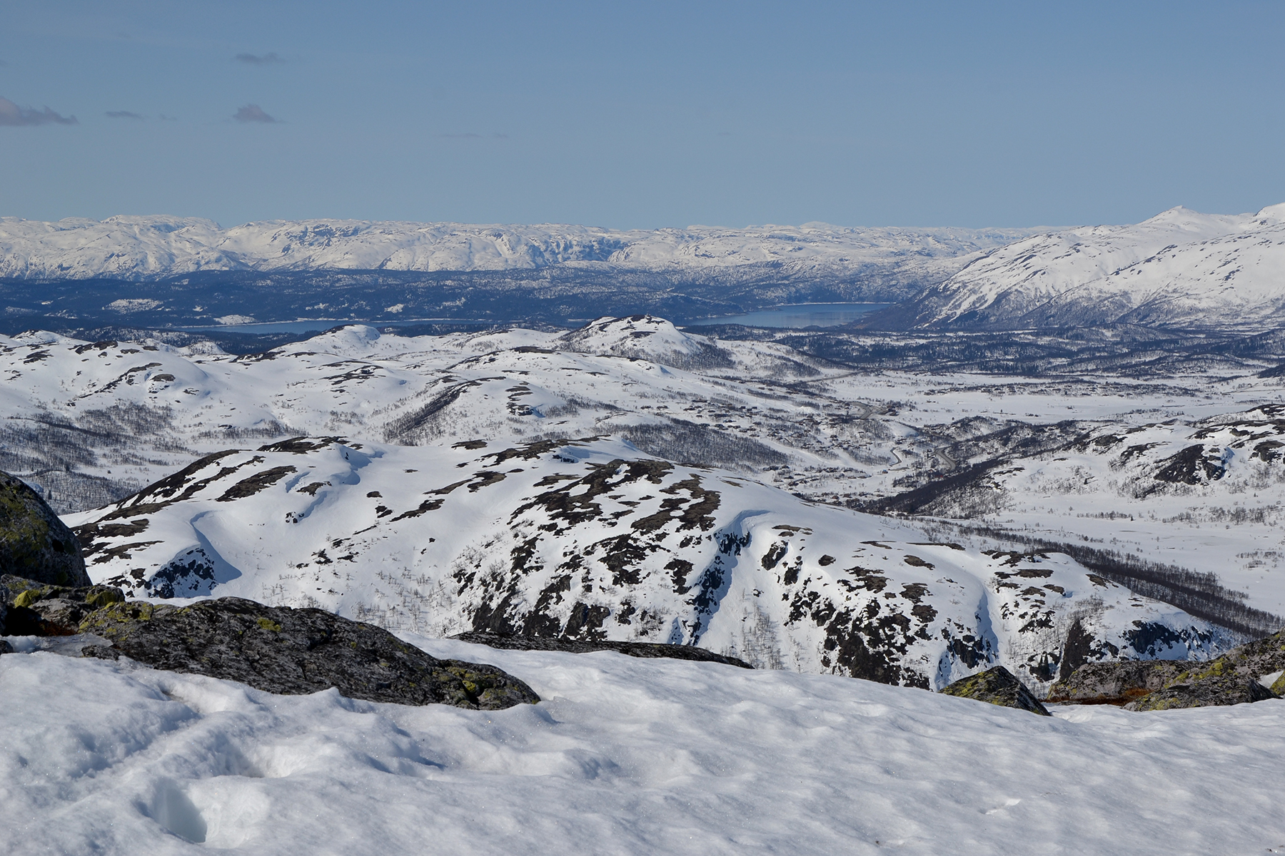
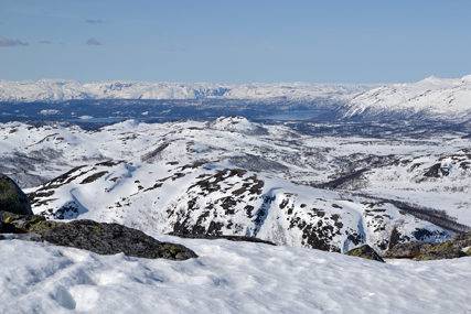
To the
west, lake Totak, free from ice.
|
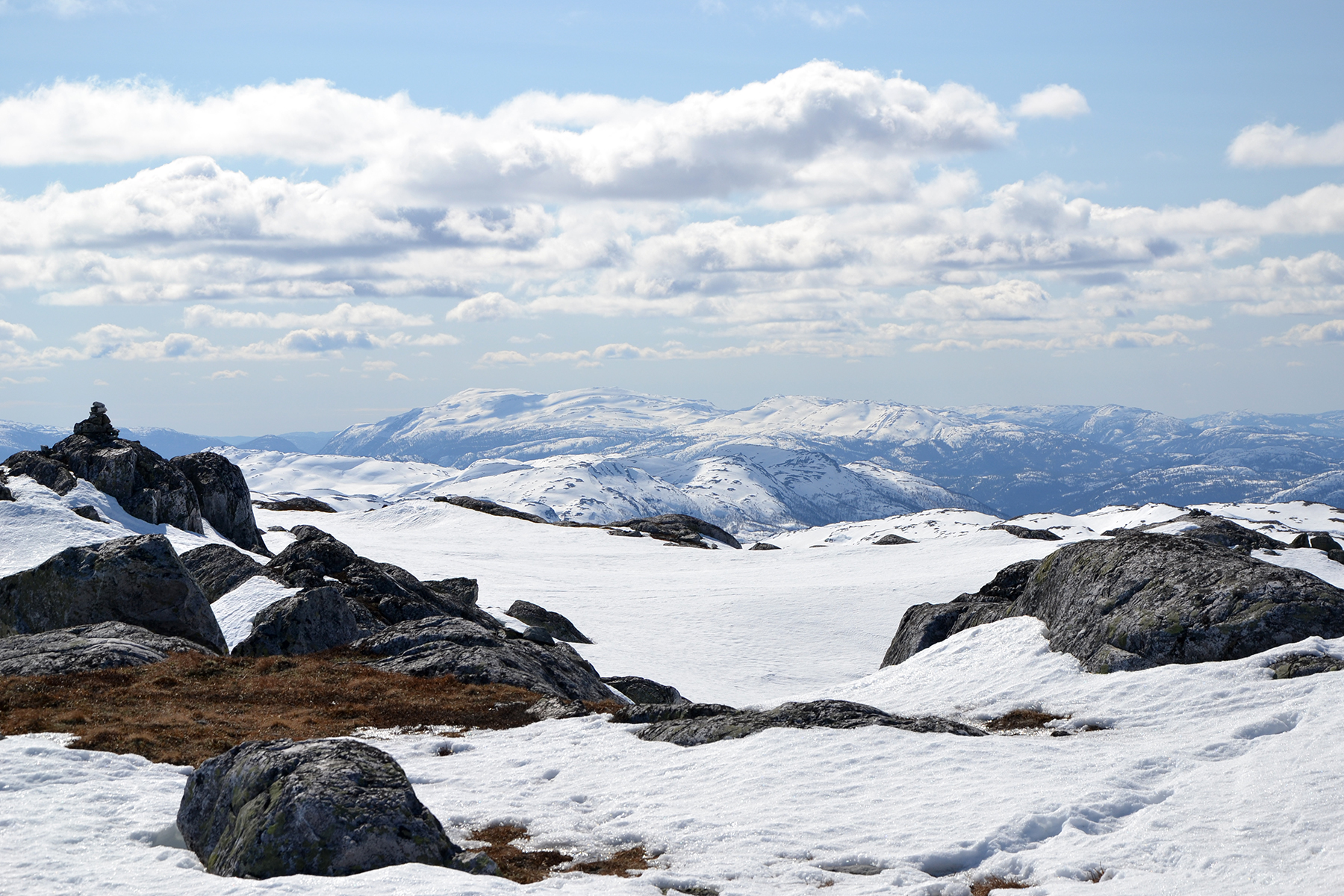
Straight
to the south.
|
|
|
|
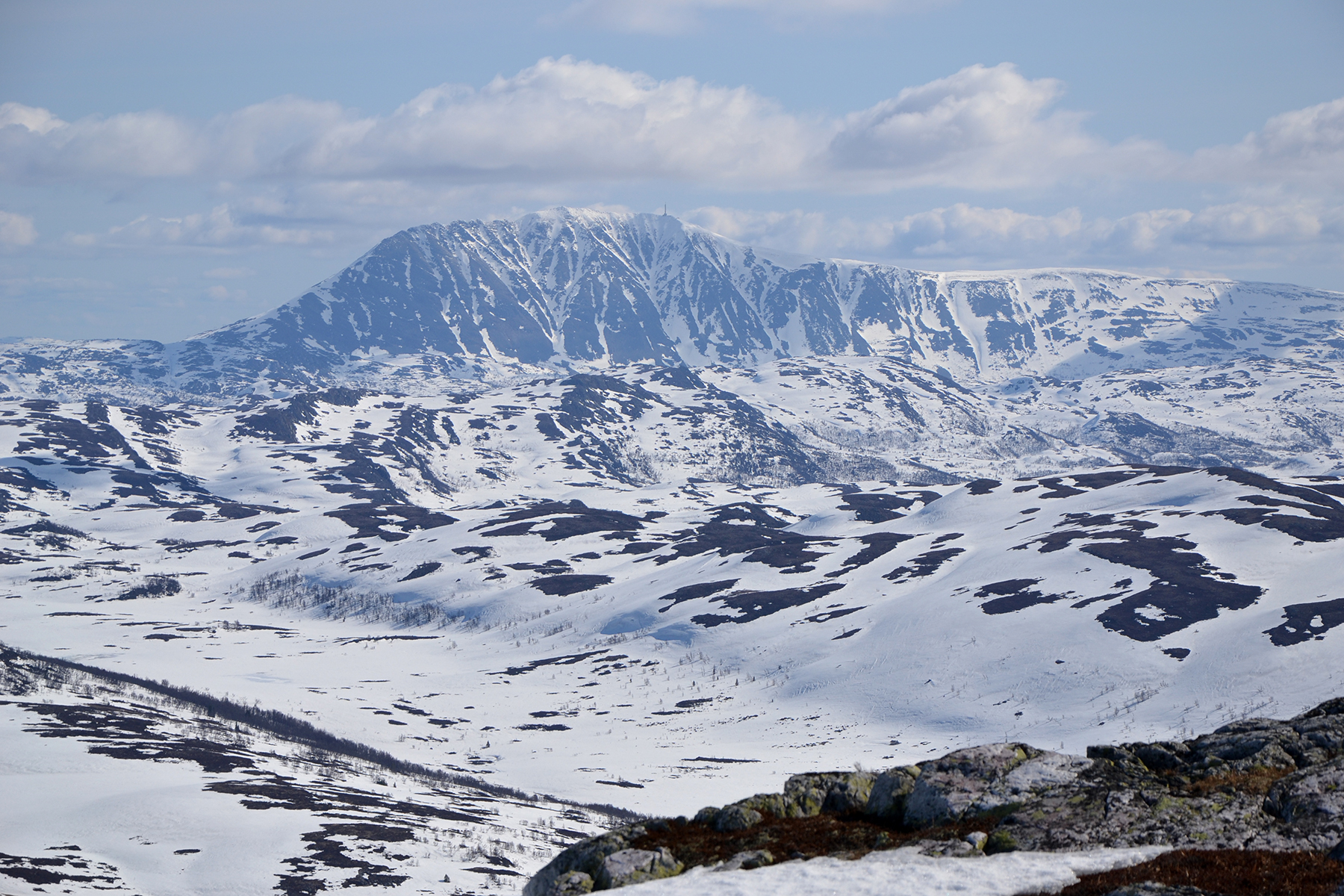
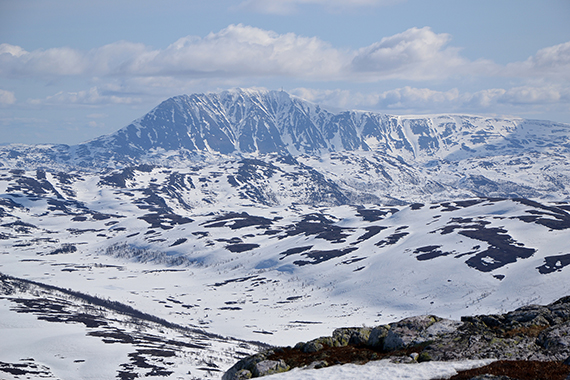
But the
most impressive, without competition, is Gausta
peak 1883m,
just some 20km to the east. |
|
|