|

|
|
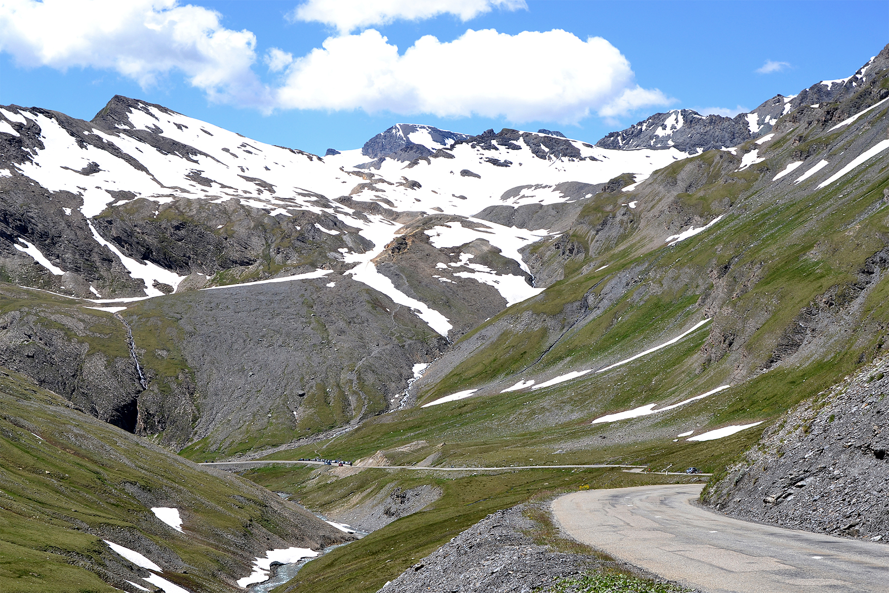
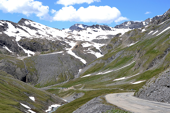
Now
we are in France. After passing Val D'isere and
crossing the
pass Col de L'iseran (2764m) we arrive at
the starting
point, Pont de la' Neige
2528m. The parking
place is visible down in the picture. Our target,
Pointe des
Fours, is visible up right. |
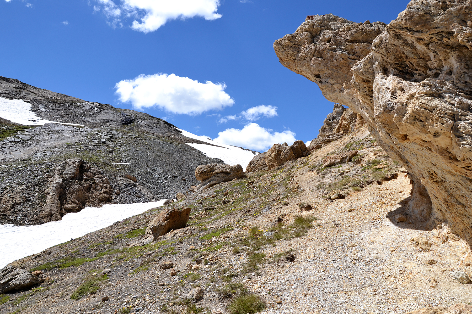
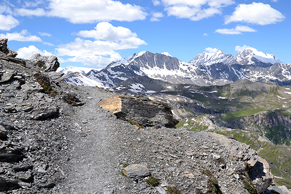
Interresting
stone formations on the way up, indicating
vulcanic activity long ago. |
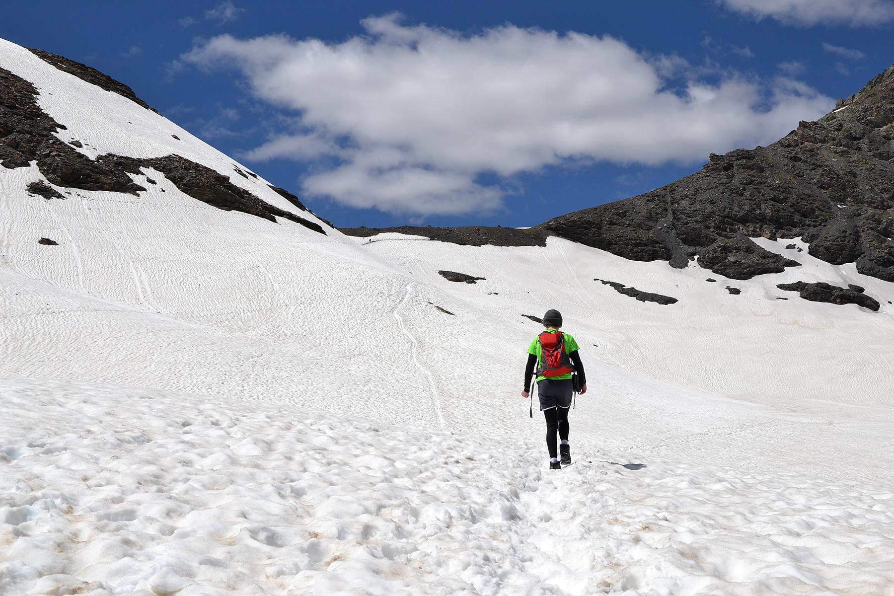
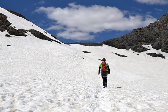
Soon
we reach the snowfields, and they are
large.
|
|
|

|
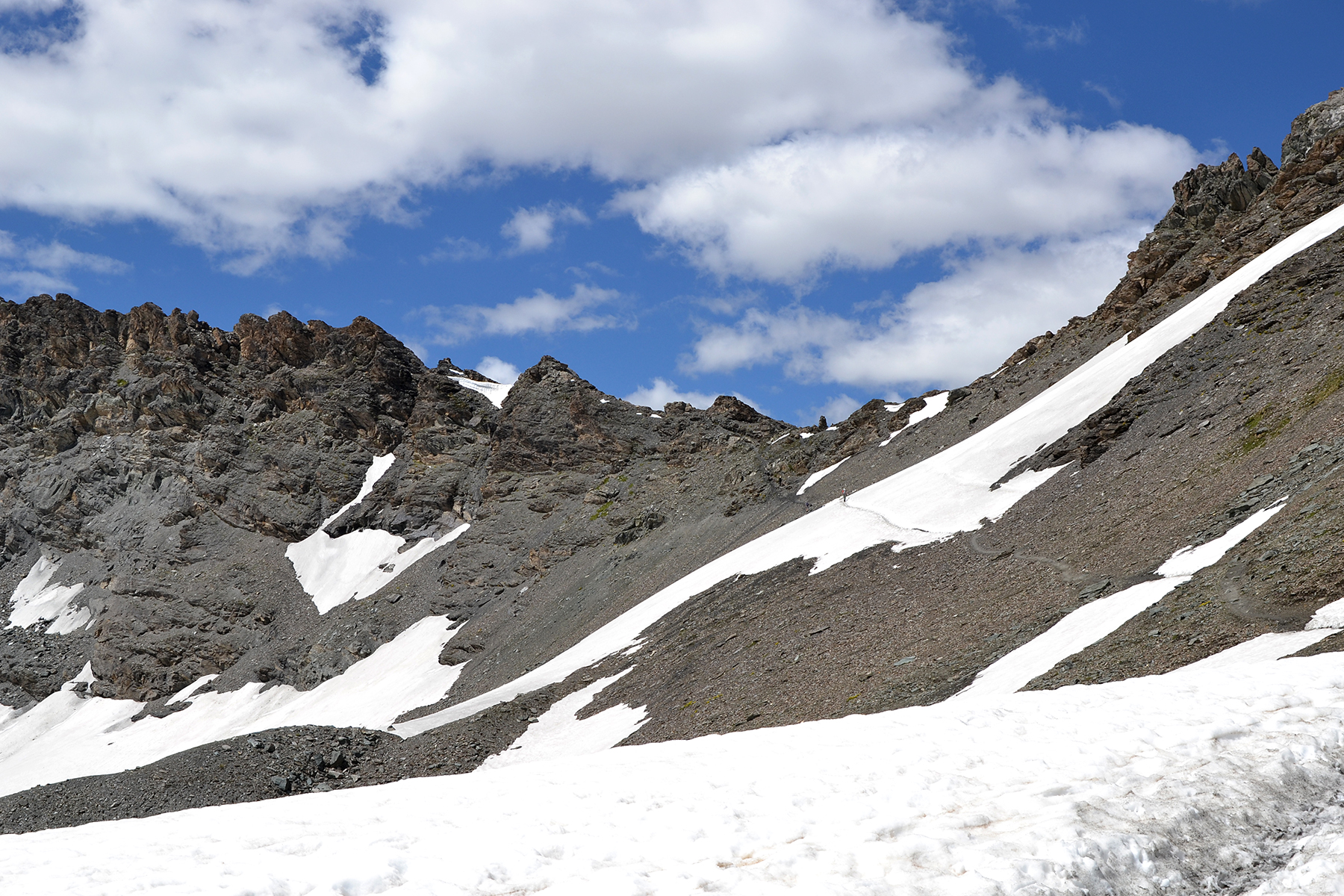
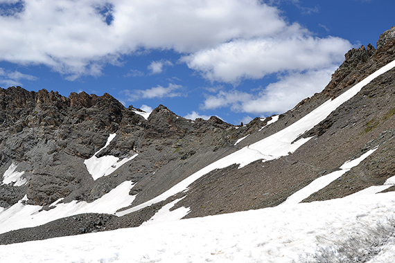
| The
final part to the pass Col des Fours, 2976m. |
From
the pass we turn left, towards the summit. |
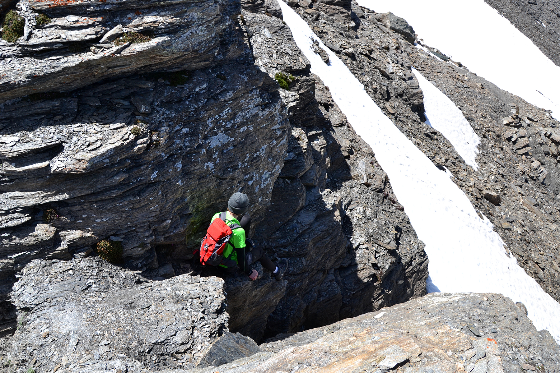
A bit higher, we meet some
people having problems passing a steep snowfield. To avoid it, we climb
on the cliffs above. This turns out to be more difficult than we had
imagined. At some places we have to be careful. On our descent we
choose
the snowfield instead, wich turns out to be quite simple...
|
|
 |

|
Apart
from our bad choice of route, there are no big
problems going up. |
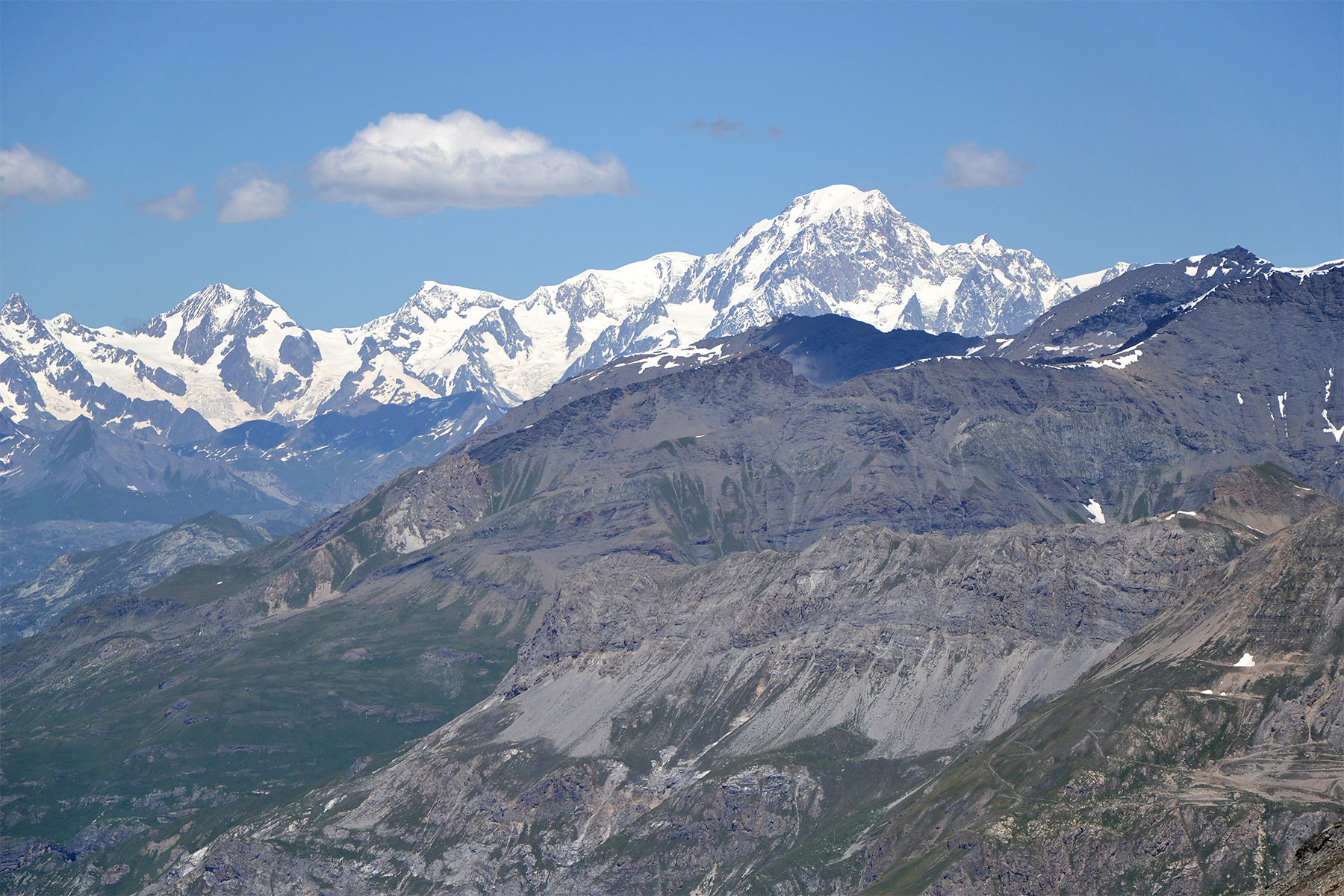
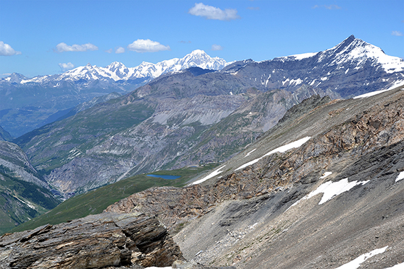
Widespred
views in all directions, with crystal clear air.
Here is Mont Blanc,
more than 60km away. |
Mont Blanc again, in a closeup.
|
|
|
|
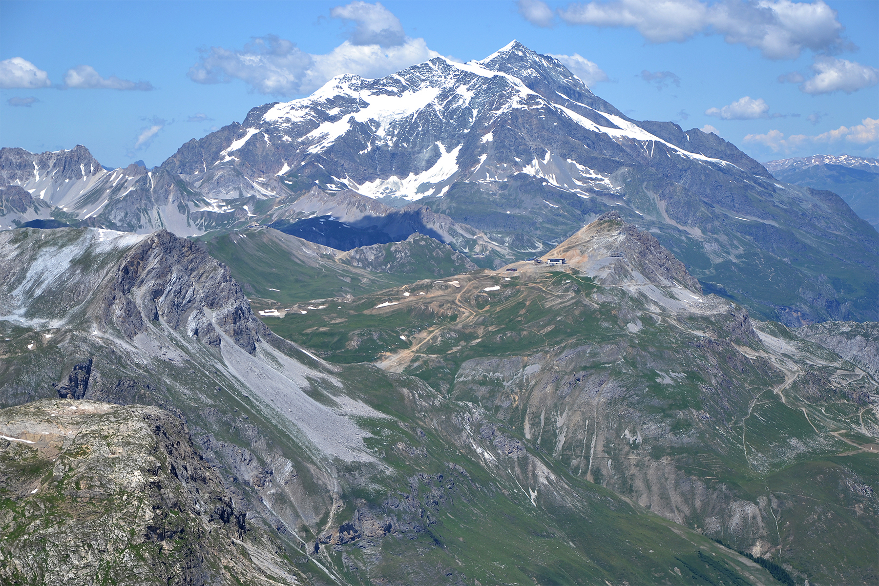
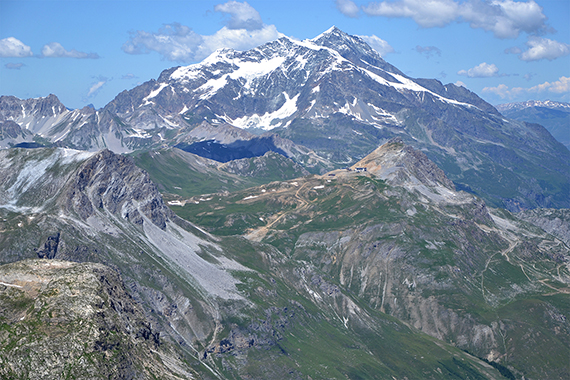
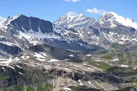
| Mont Pourri, 3779m. |
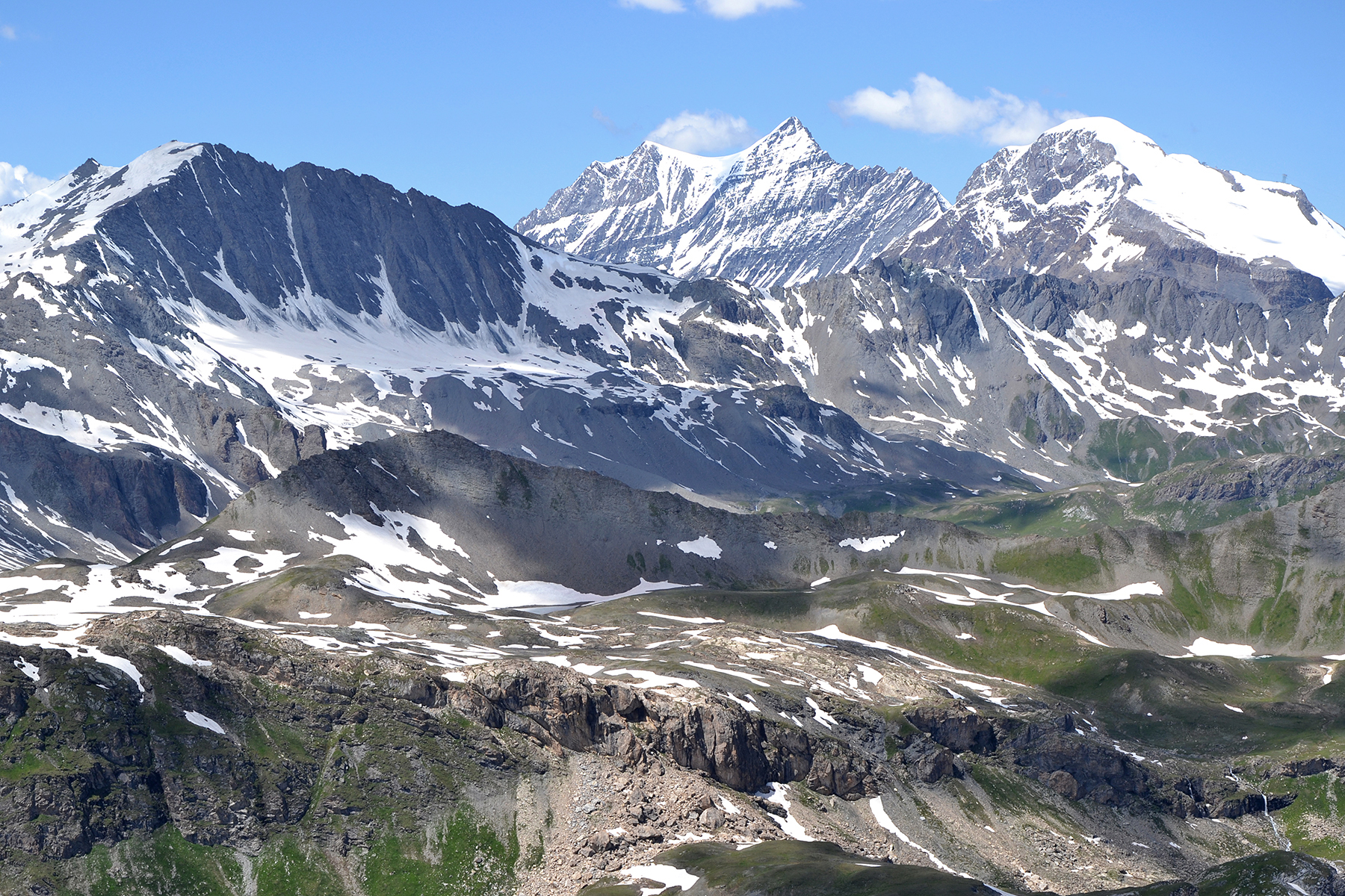
Pointe
de la Grande Casse, 3855m, in the middle. |
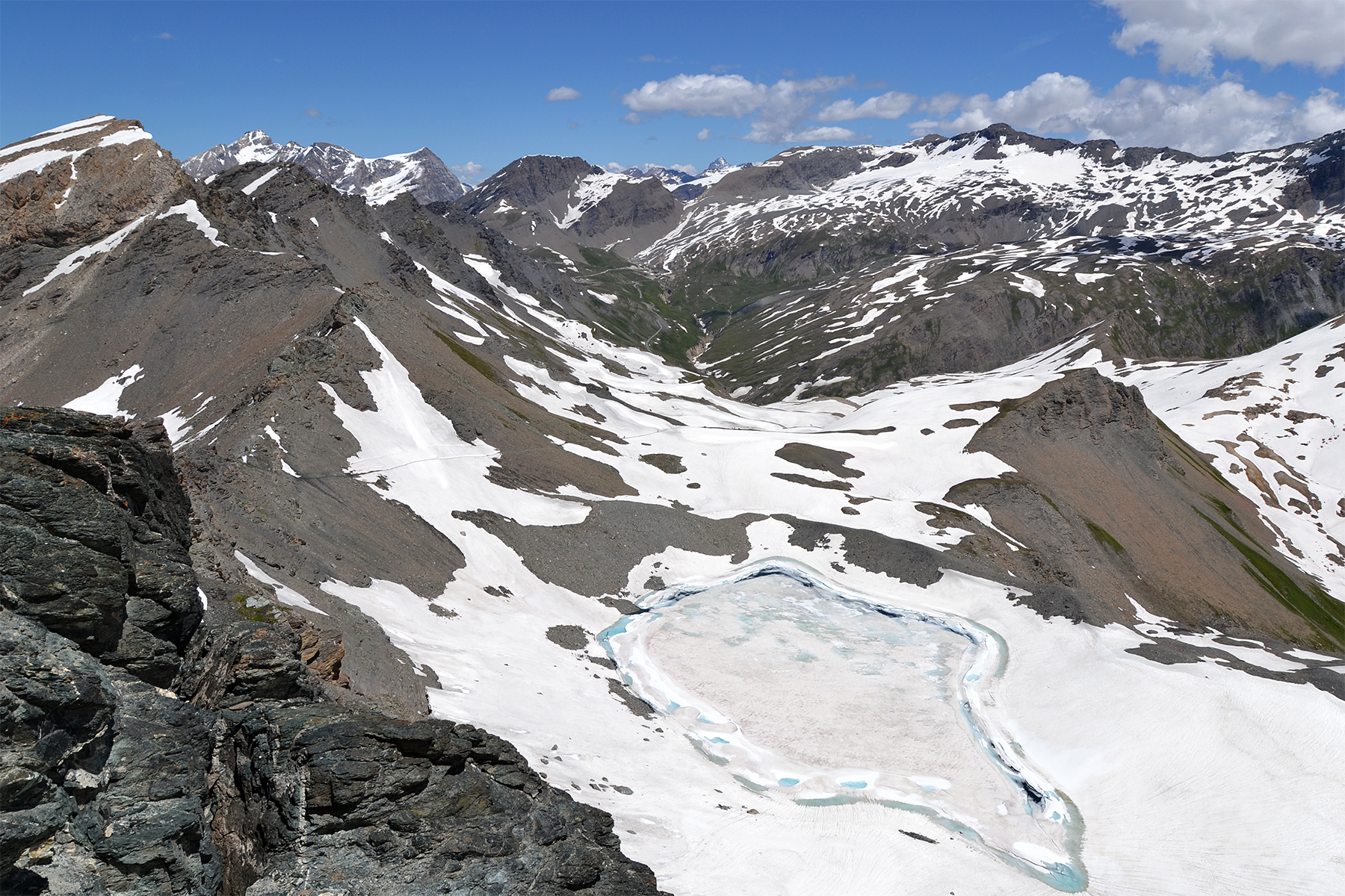
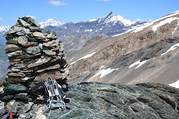
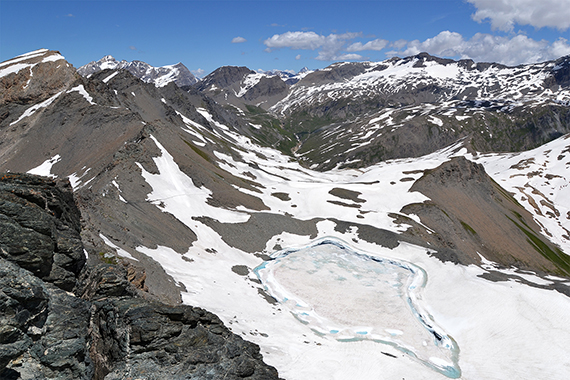
A look
back on our climbing route.
|