
|
|
|
Kyrkjinøse
is at Filefjell, just north of the village
Kyrkjestølane.
You can stop along the E16 with just 2km
and 350
altitude
meters to the summit. This is a short and
easy trek, but in my case
perfect on my way home, with
tired legs from my longer trip
yesterday. |
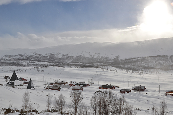
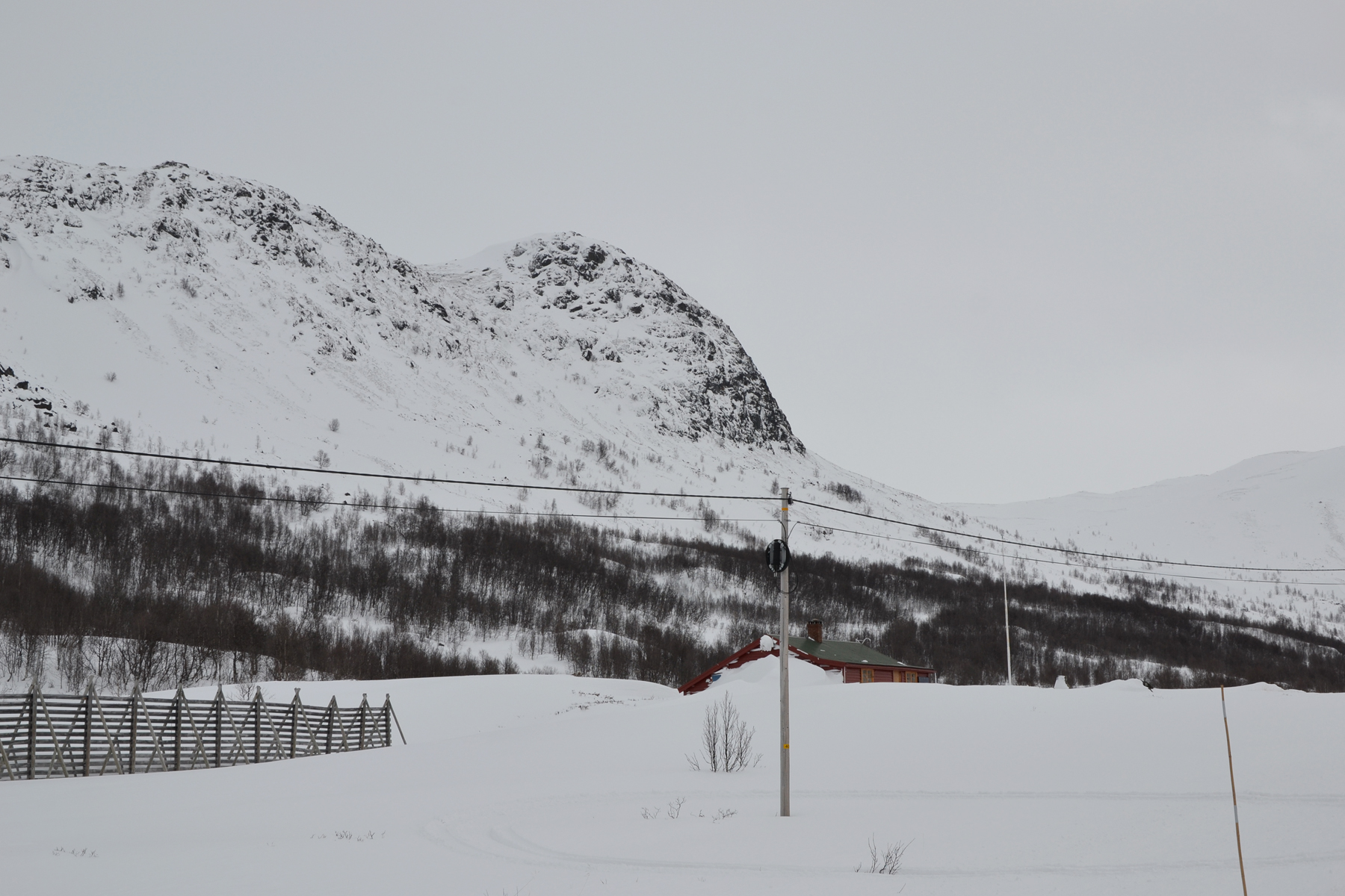
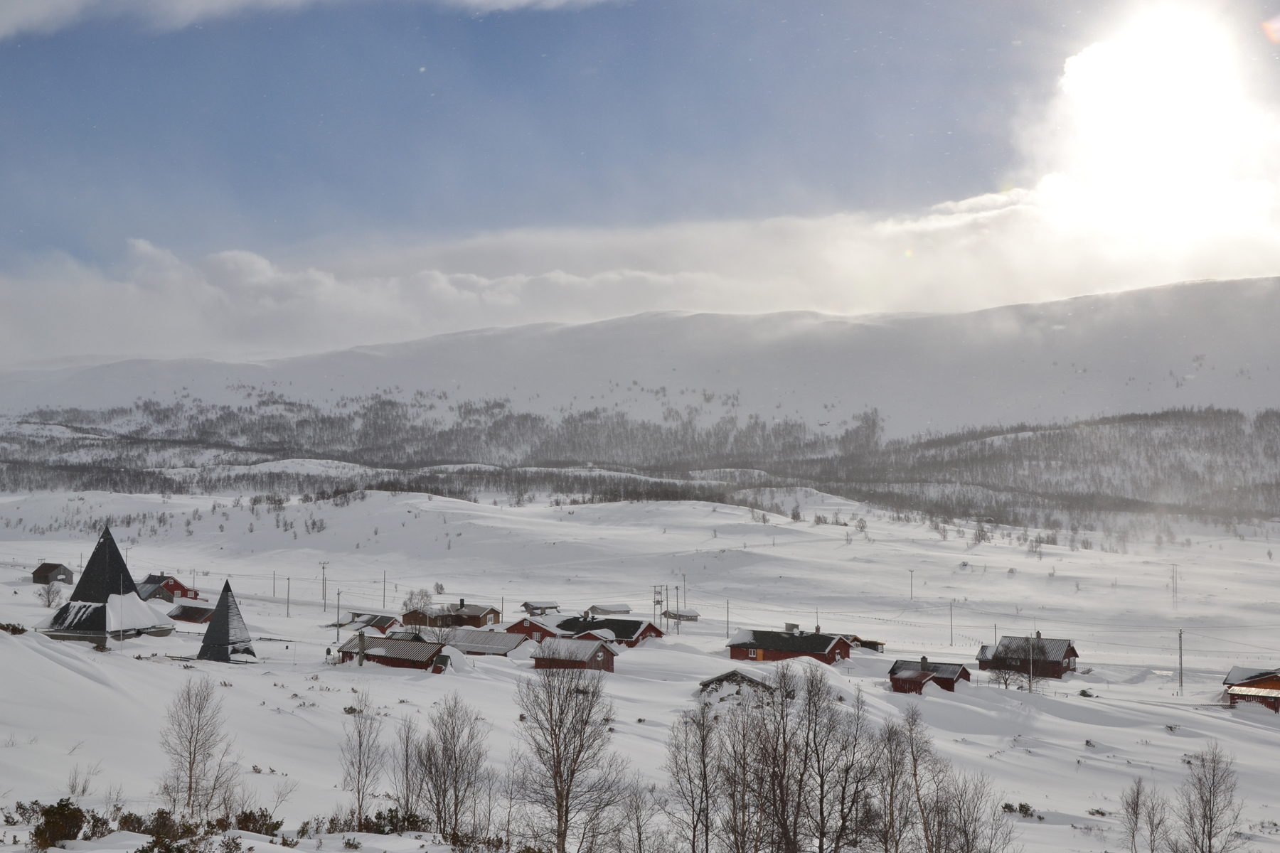
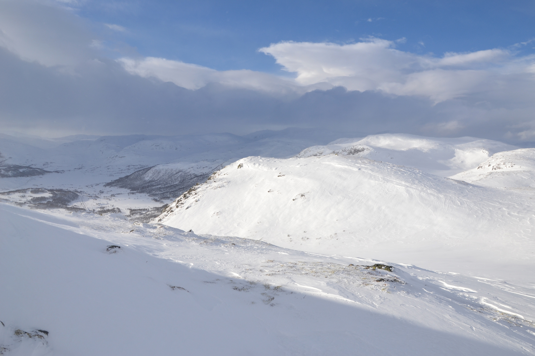
The
starting point is at 960m. Here is a picture looking back to Kyrkjestølane,
just a short way up the slope. |
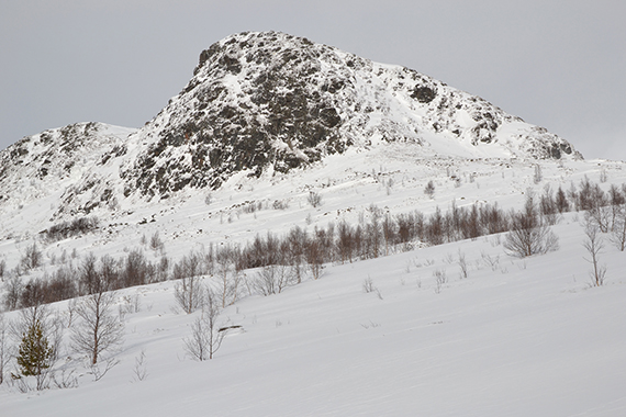
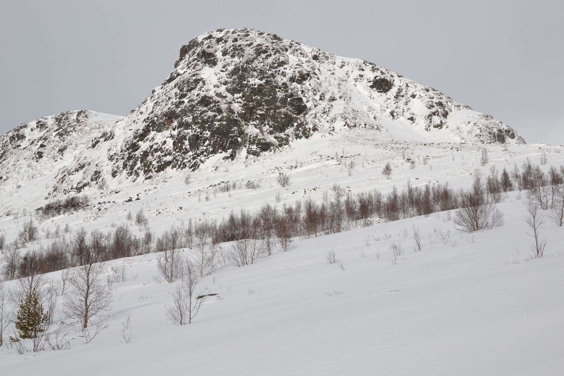
The
trail leads to a saddlepoint to the right of the peak. From the other
side the climb to the summit is easier.
|
|

|
|
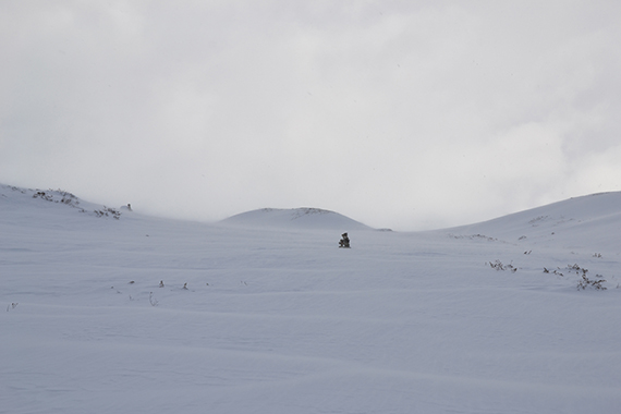
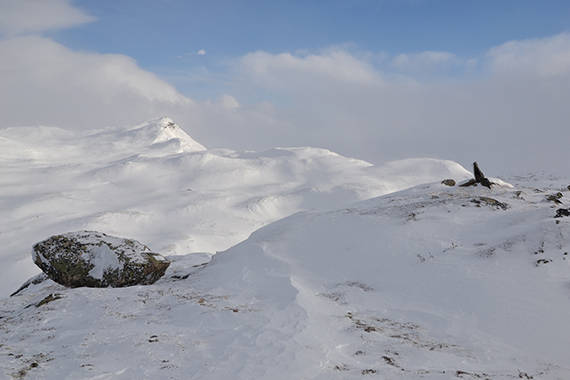
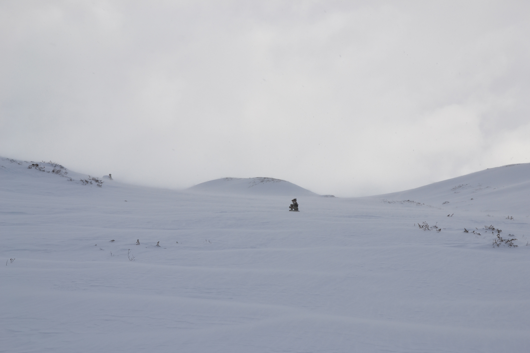
Almost
at the saddlepoint, now on 1125m. The wind is
strong, as the drifting snow indicates. Small cairns are
visible above the snow. |
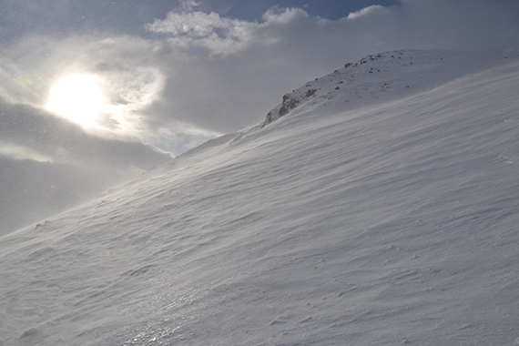
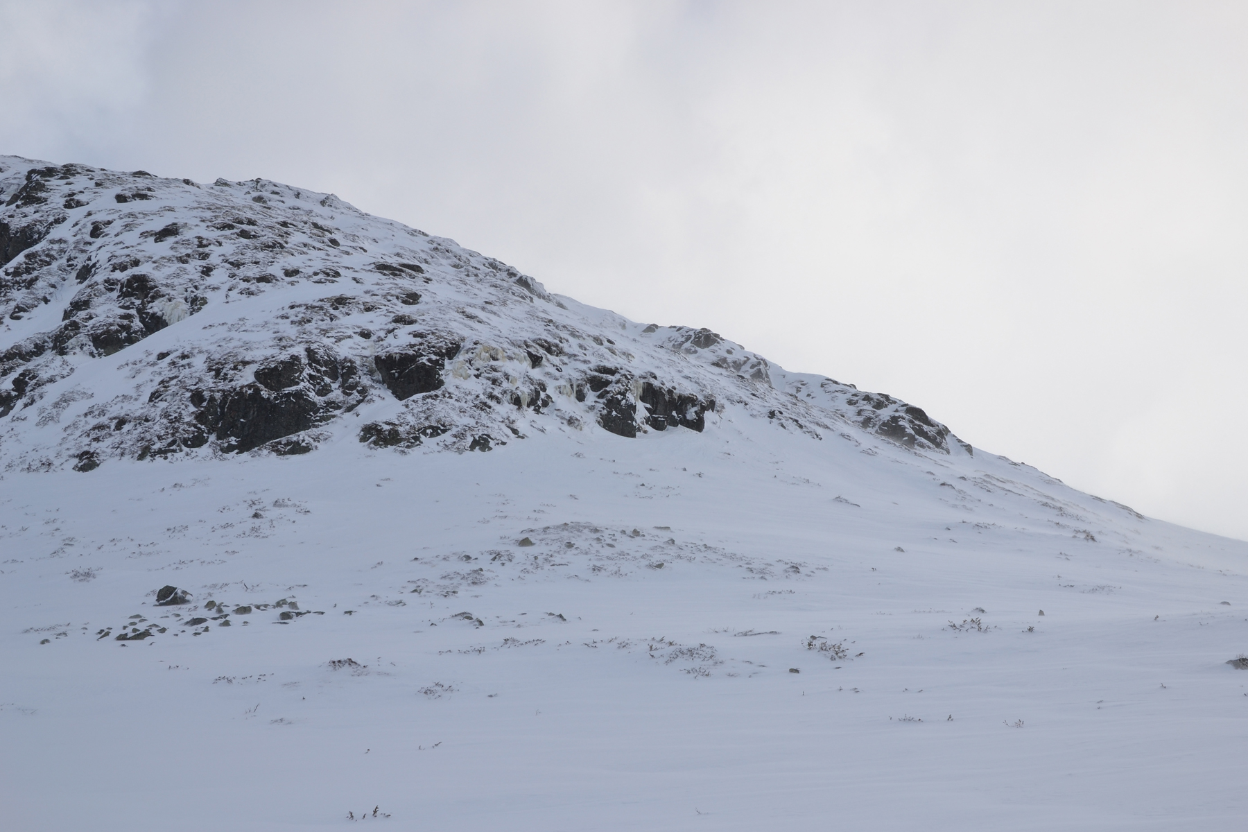
The
slope leading
towards the summit ins't that steep from
the other side. |
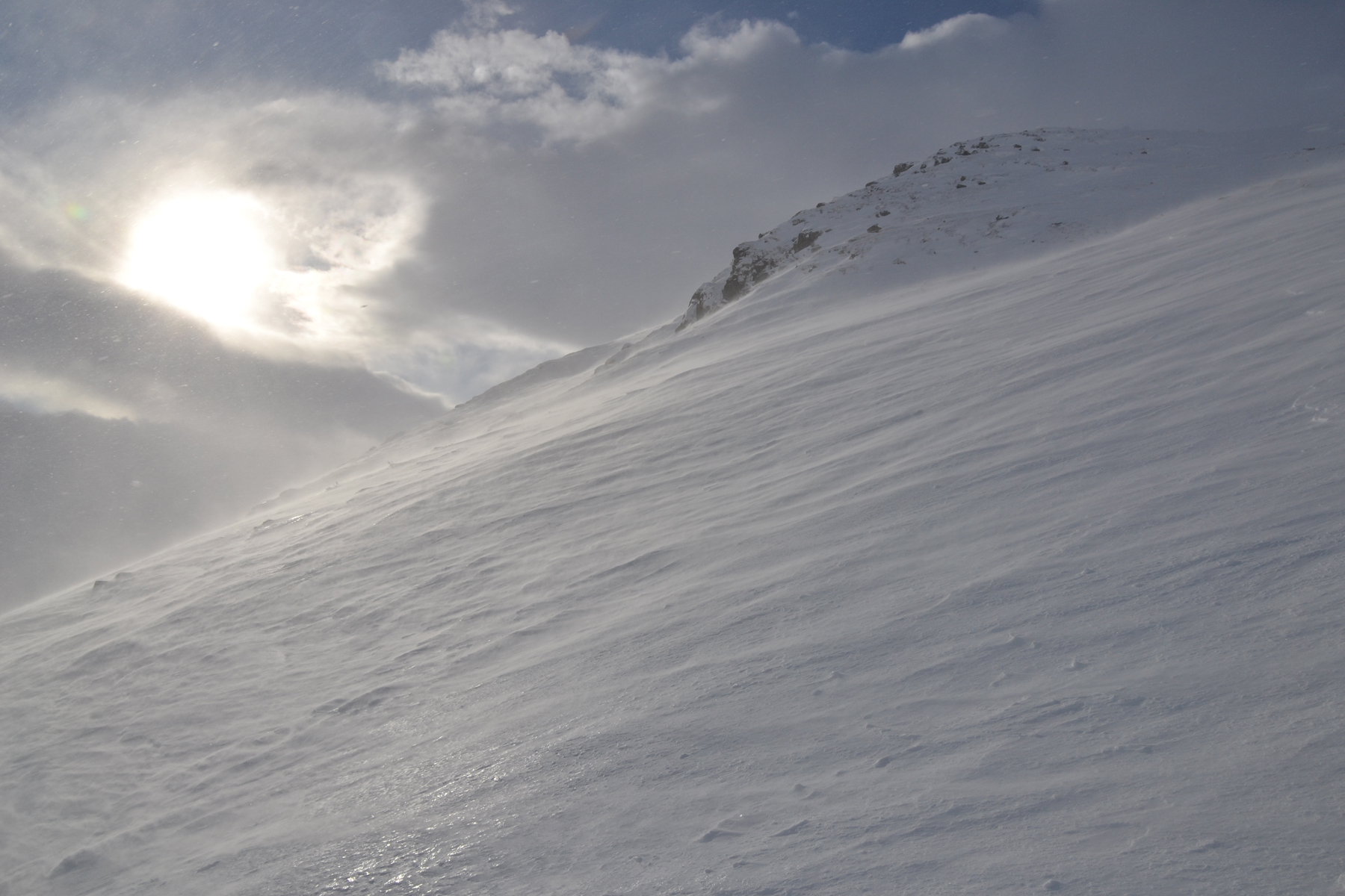
But,
as I mentioned, the wind is strong today. This picture is from
around 1200m.
|

|
|

|
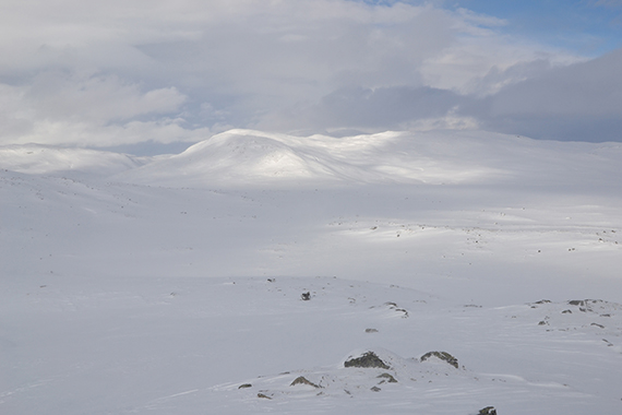
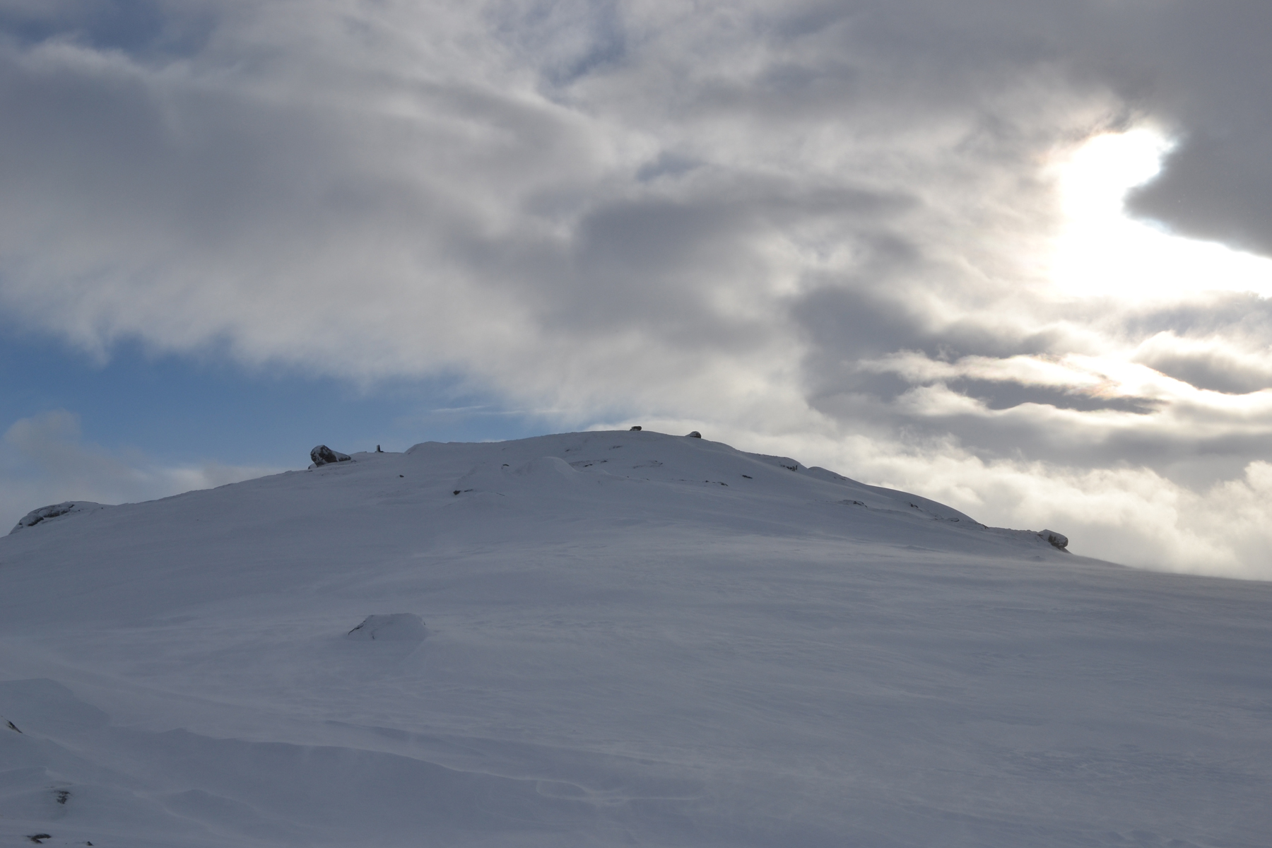
Almost at the summit. I need a little more
than one hour to
get here with my snowshoes. |
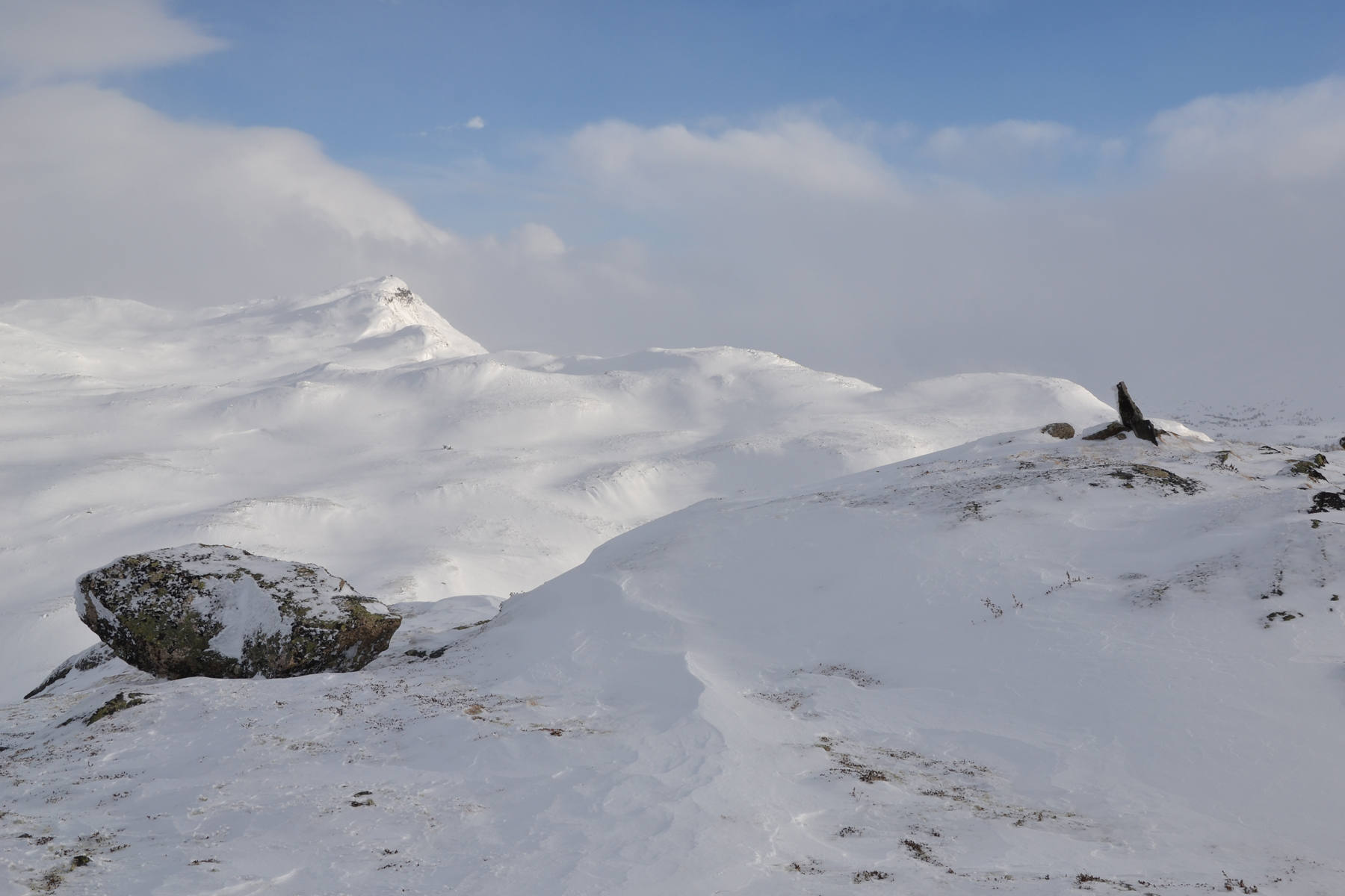
To
the east is Støgonøse, 1439m. |
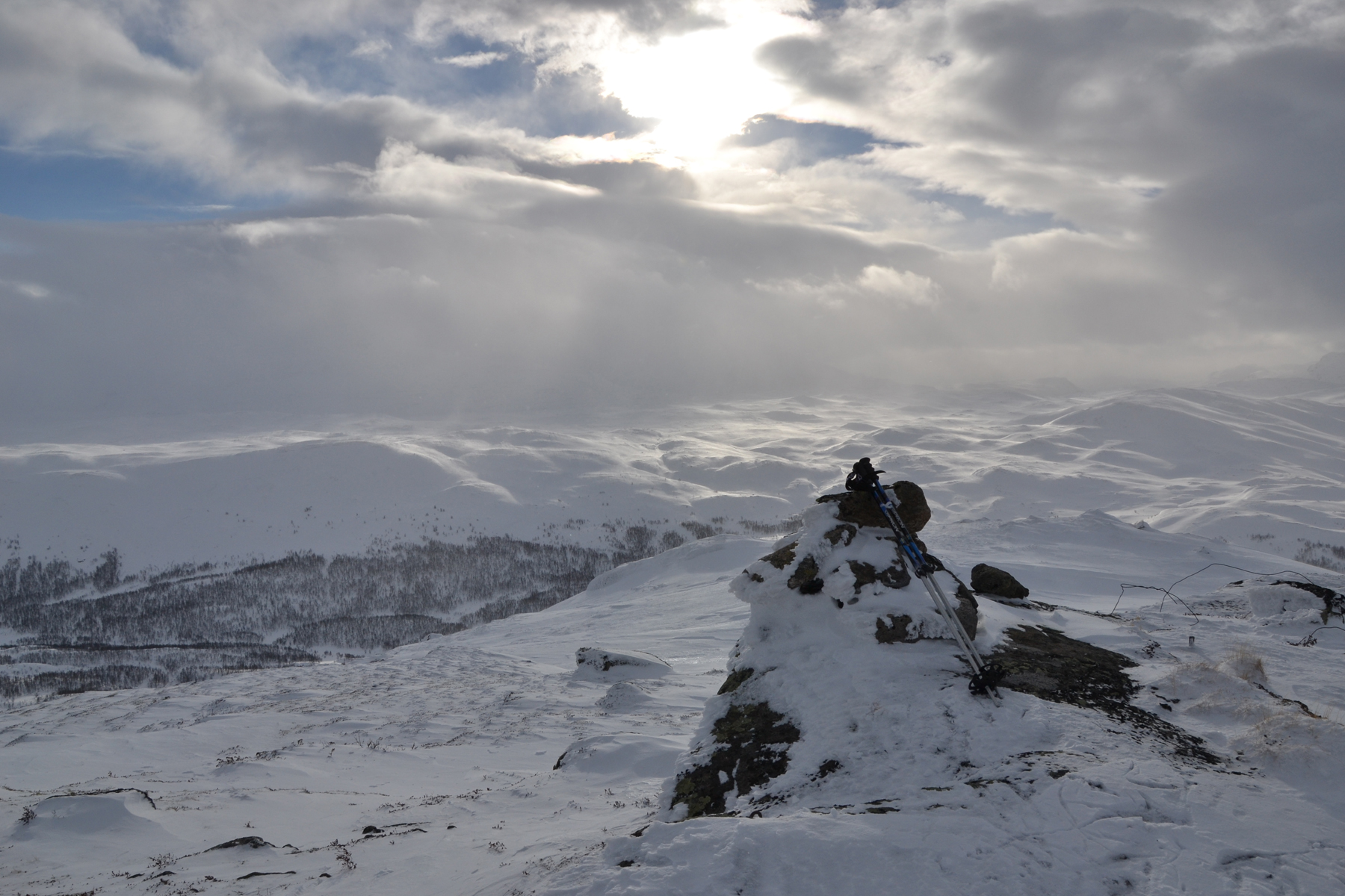
The summit cairn at Kyrkjinøse.
Here is a look to the south.
|
|
|
|
This
picture is looking to the north. Everything is white, and
the sunlit
areas are even whiter. |
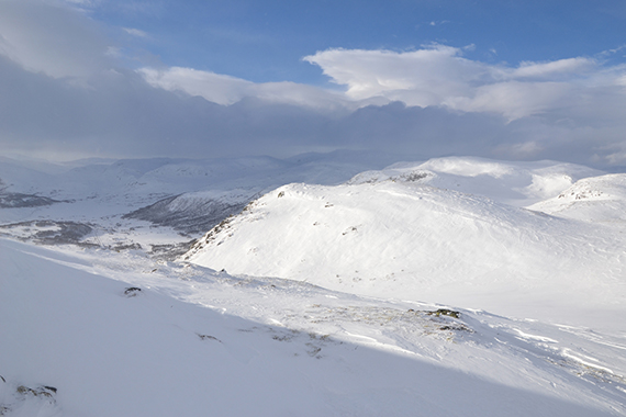
A
look to the west. E16 is visible in the valley below. It is
open for
traffic today, but the road over Hemsedal is only avaliable in
convoys
because of the bad weather contitions.
The clouds shape dramatic
formations, probably to a large
part because of waves over the hills.
And yeah, it was cold
up here... |
|

