|
|
|
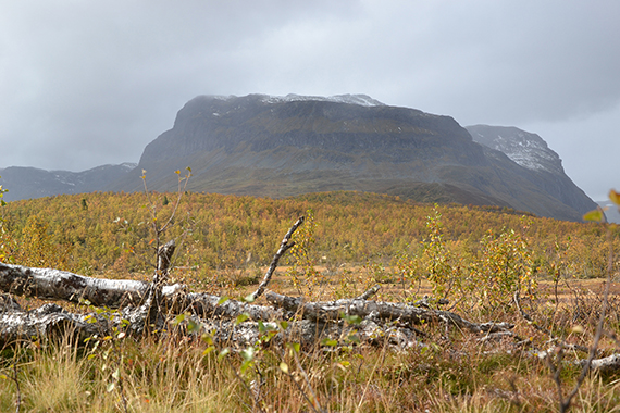
You
reach Grindane from E16, a few km east of Vang.
From there, take the small payroad towards Smådalen
(double tolls, 110 Nkr). Here is the
mountain from the
small road.
|
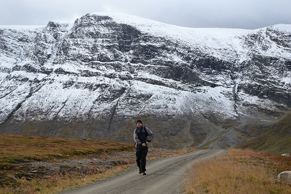
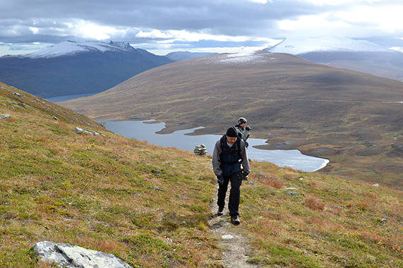
You can
park the car on 1180m altitude, making this peak quite accessible. Here
is Peter with Rankonøse,
1771m
in the background. |
The
trail is easy to follow.
|
|
|
|
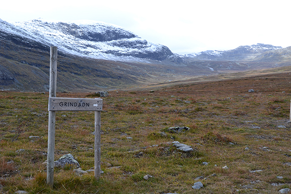
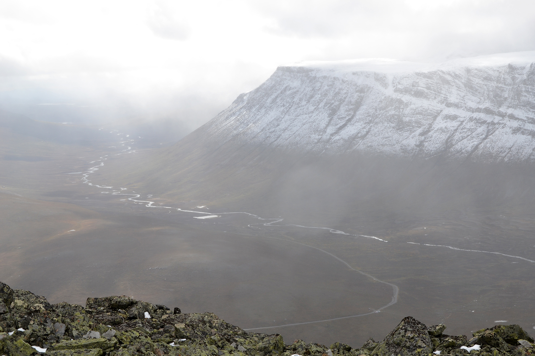
On the
first two km the trail is horizontal, passing the lake
Grindetjernet.
Here is Grindane behind. |
Reaching more than 1300m. The payroad is visible in the
background,
with the cars at the right end. |
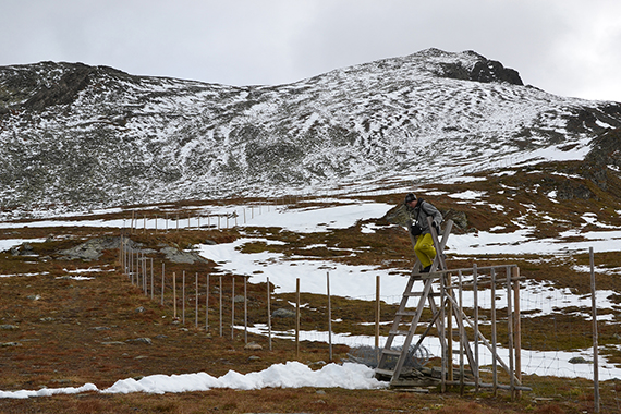
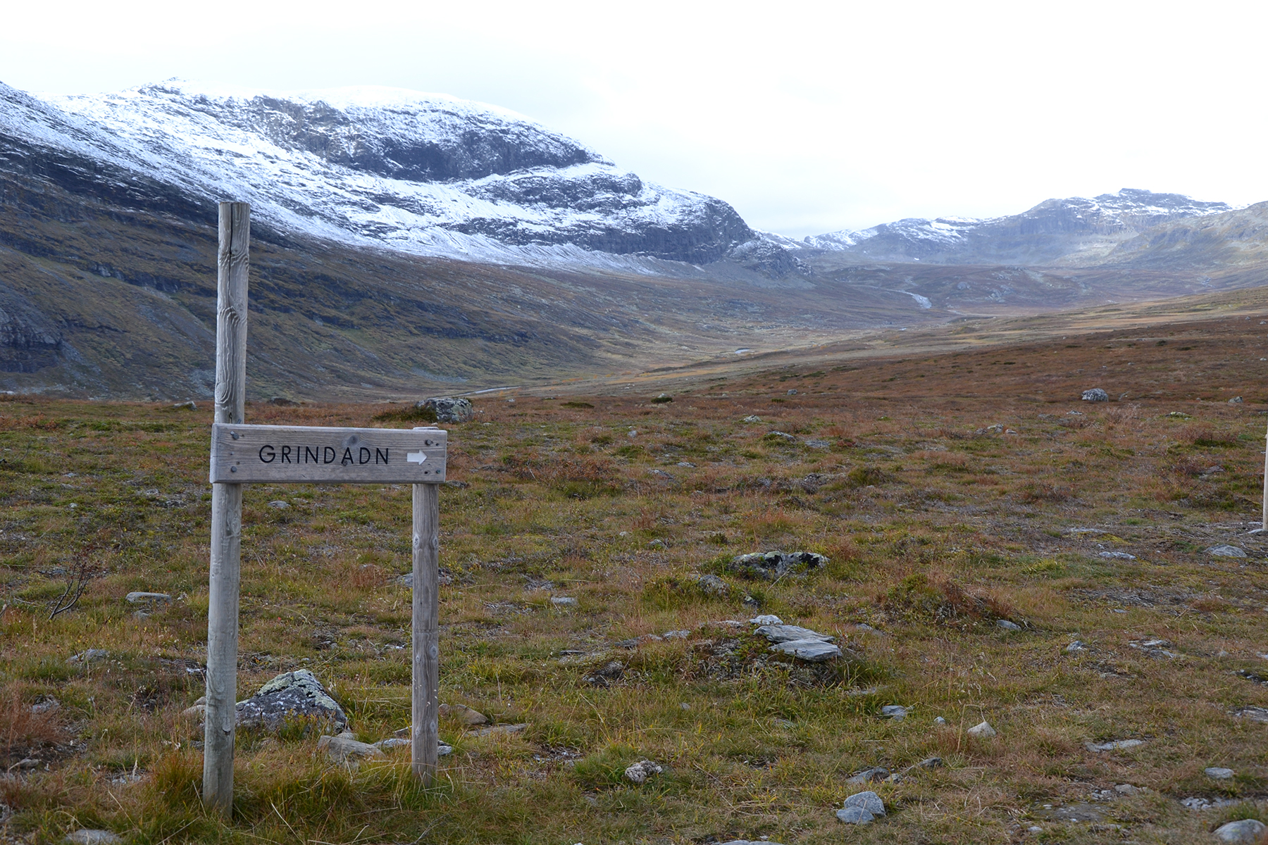
At
1420m altitude a fence is passed. After that we turn right for the
peak, visible to the right.
|

|
|
|
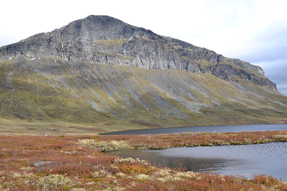
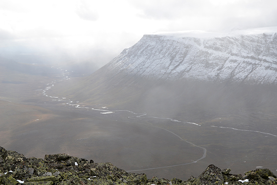
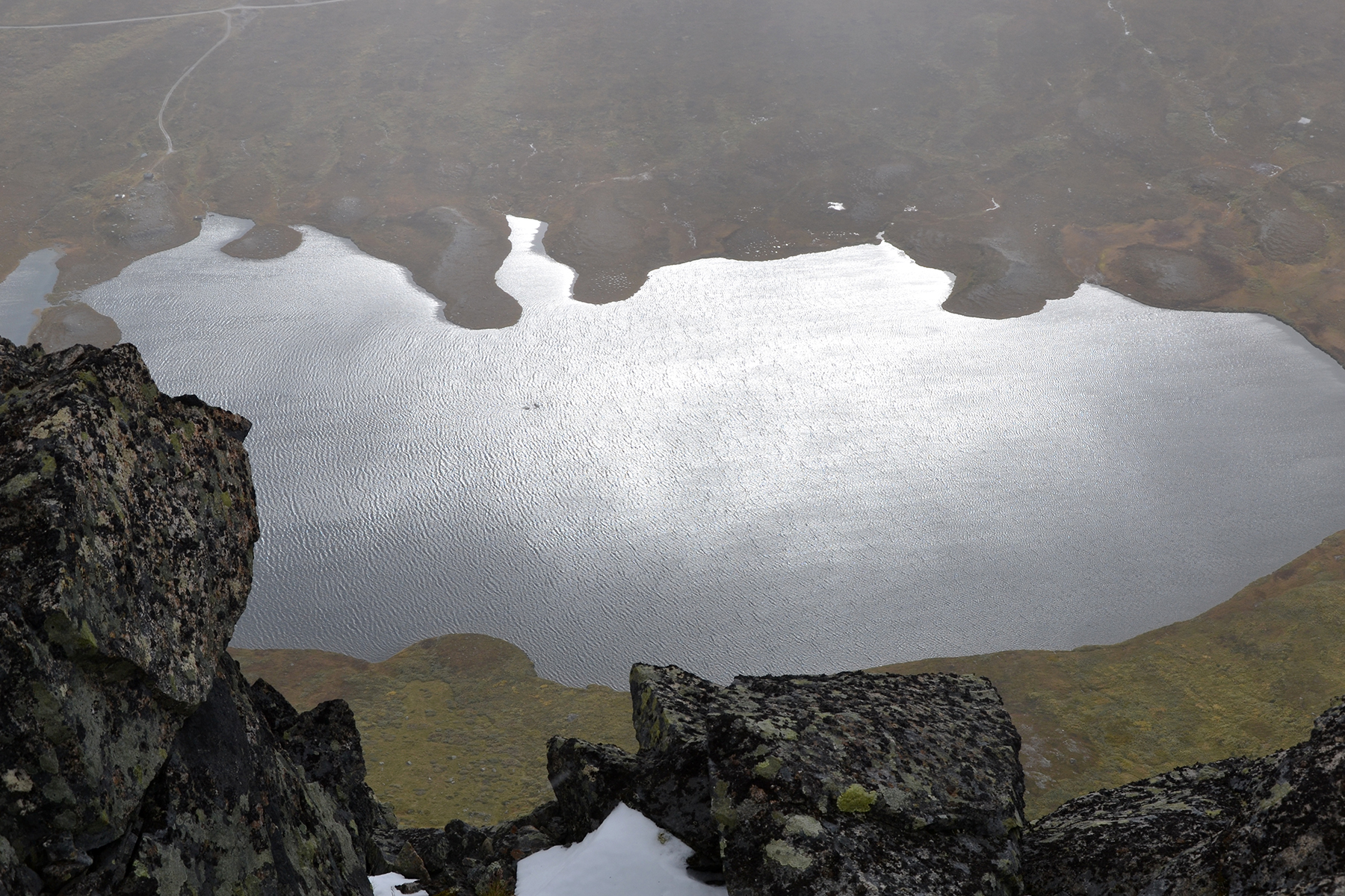
Looking
down to Grindetjernet from the summit. The high
cliffs are impressive. |
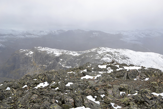
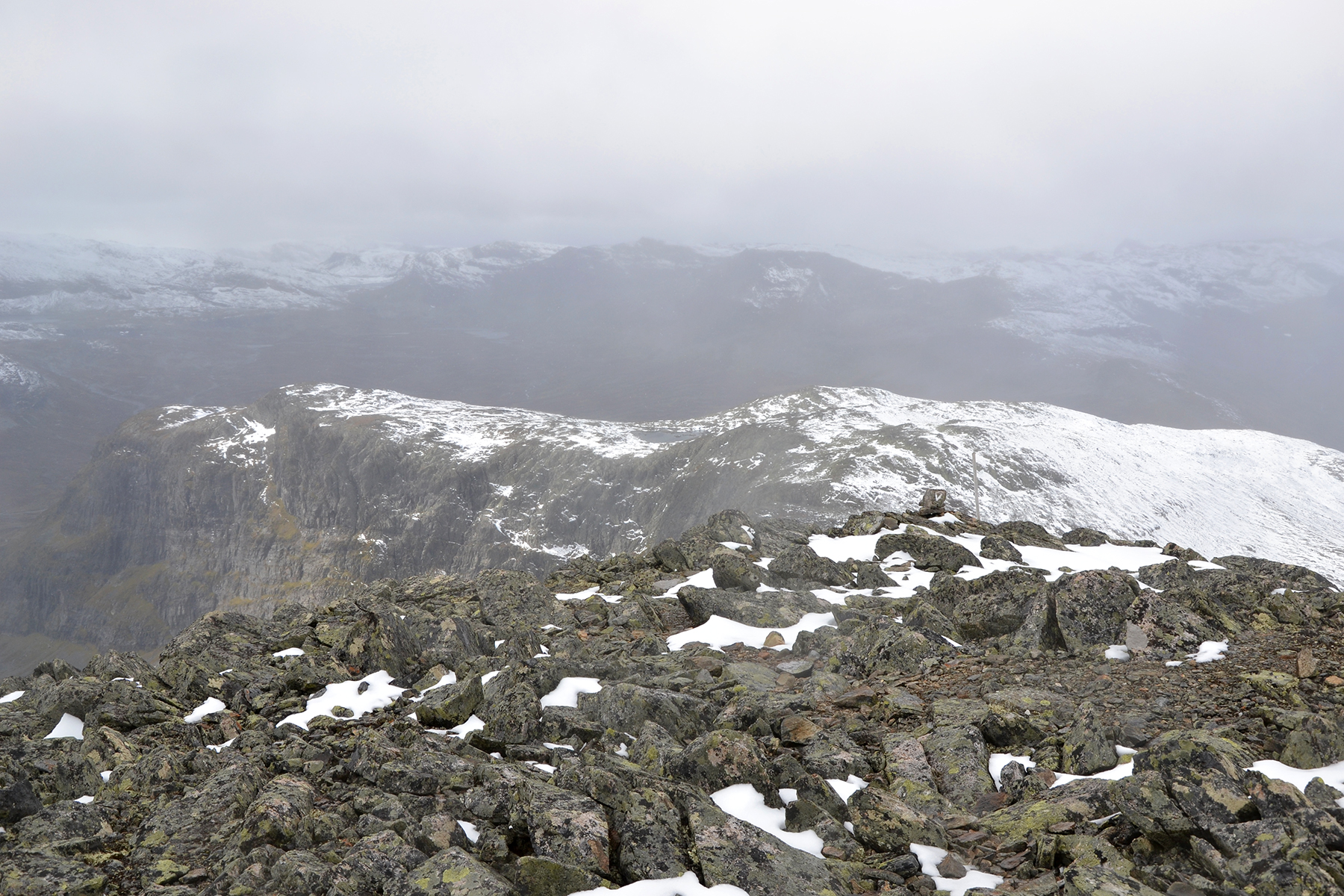
Unfortunately the weather is bad this day.
We have storm
gusts and snow, limiting our view. Here is Rankonøse.
|
The closest mountain to the west
is Belgjinøse,
1564m. We don't stay long at the summit. Because of the weather we soon
start our descent.
|


