
|
|

|
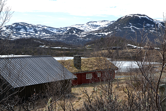
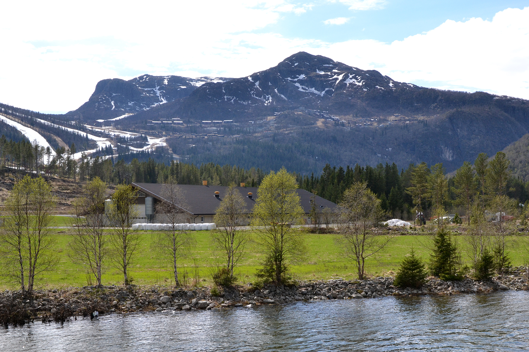
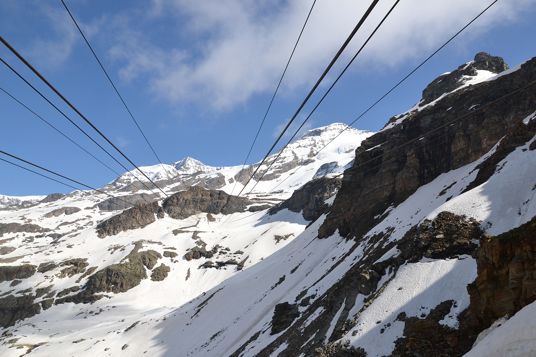
A
view of Røggjin,
as it looks from Hemsedal. This is wintersport area, with
skislopes and large tourist facilities
high on the mountain. There is a
road, (toll road) that
passes the facilities and continues up on the mountain.
|
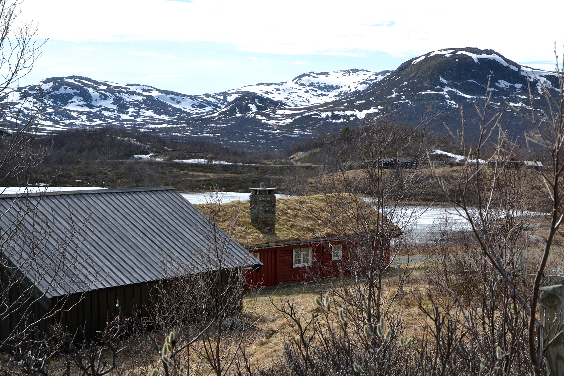
6km
after the toll station, on 1050m altitude, a small sign marks the
beginning of the path. Just 300 altitude meters,
with no technical
difficulties makes this a very accessible peak. We climb it as an
evening tour, to have something
nice to do after coming up here. |
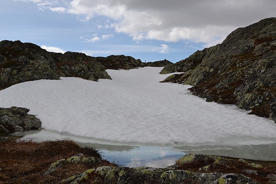
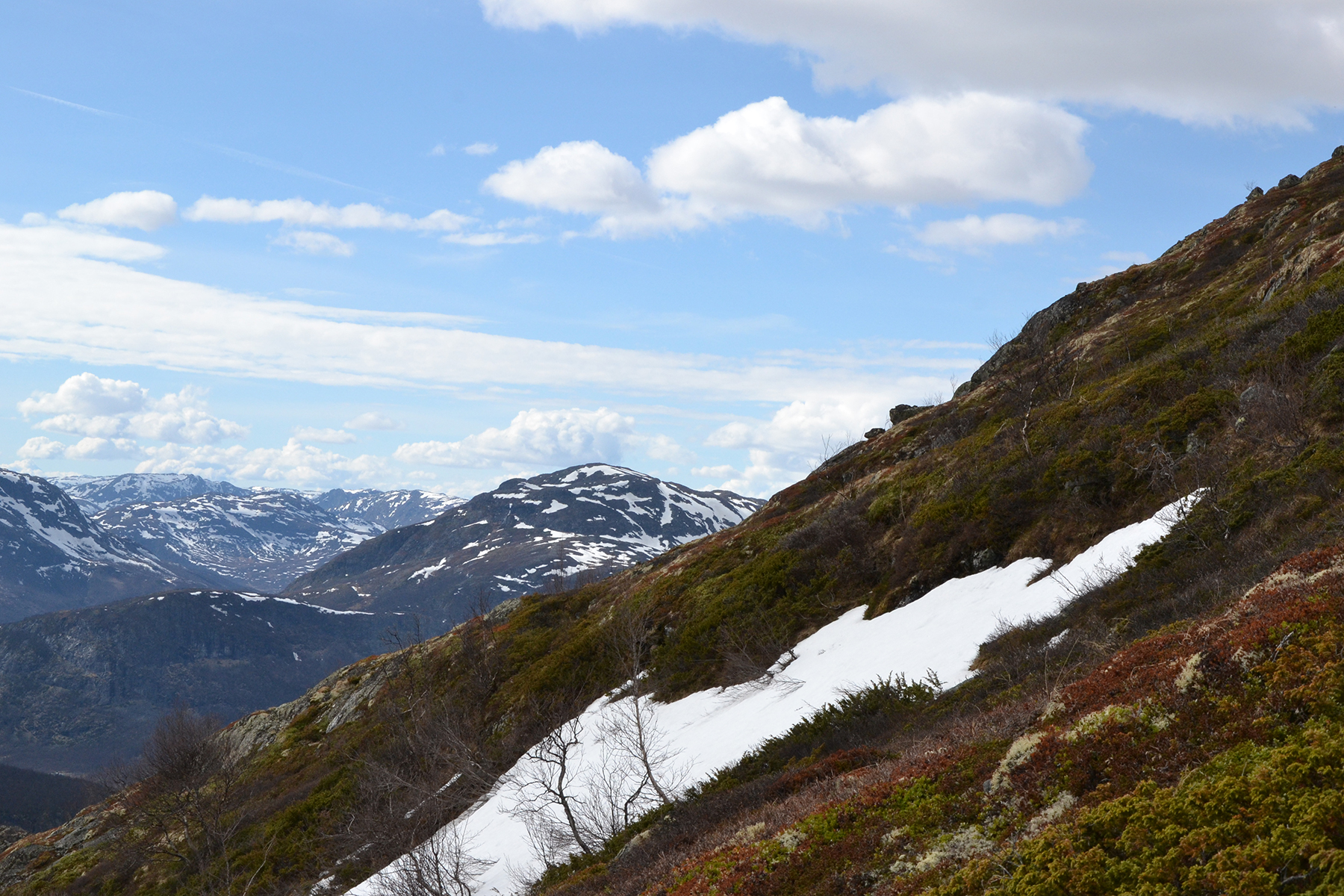
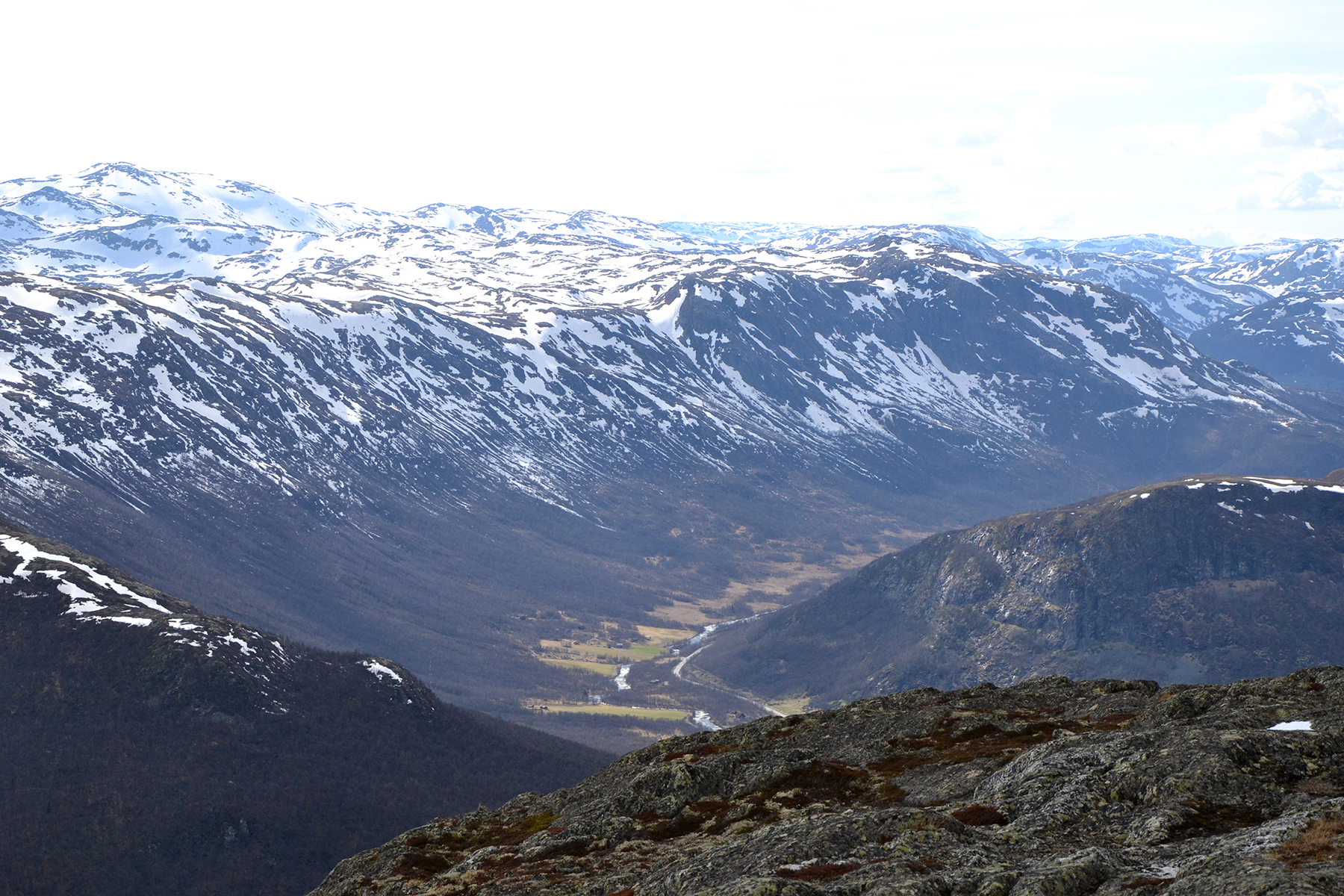
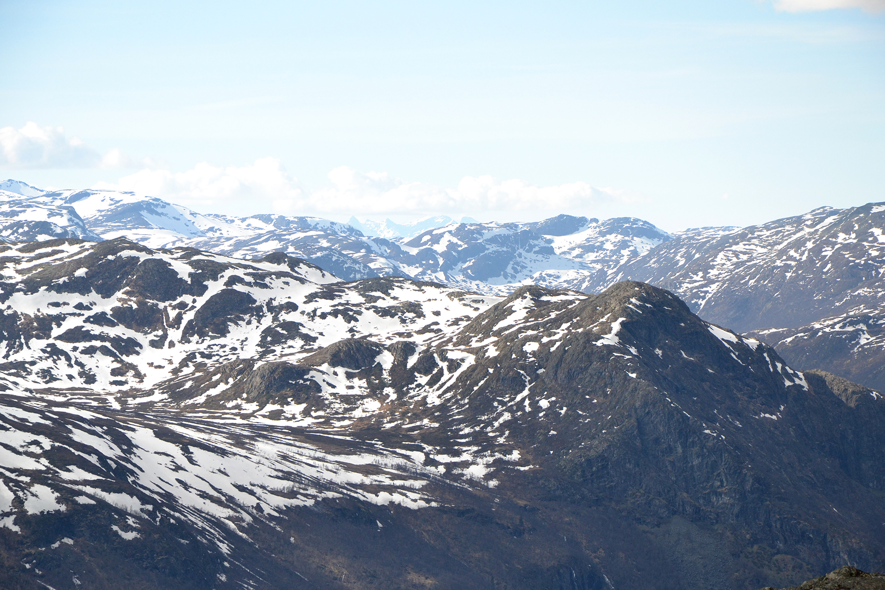
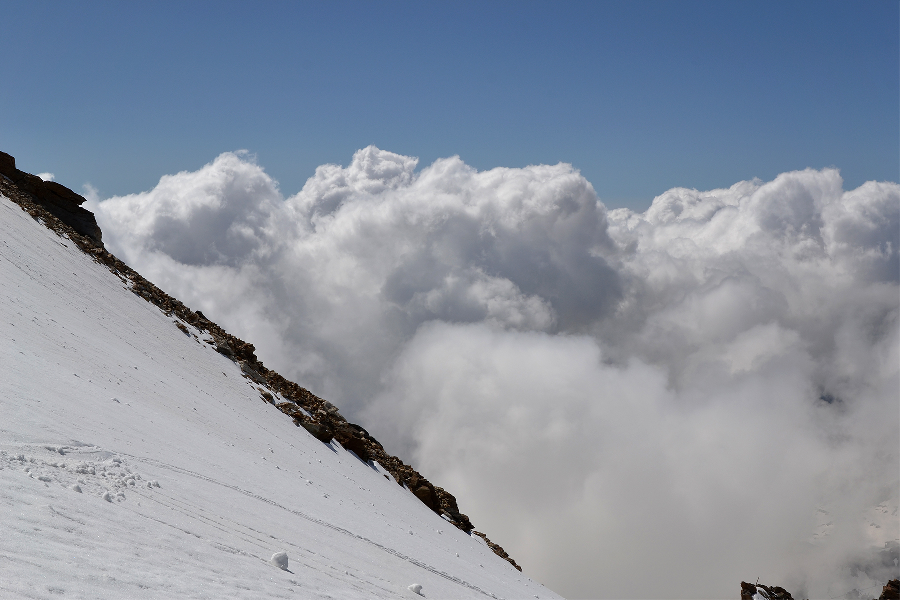
Even
though the path is well marked, we still lose our way and get a steeper
climb than decessary. No problems anyway. Here's a picture to the
northwest from 1230m.
|
|
|
|
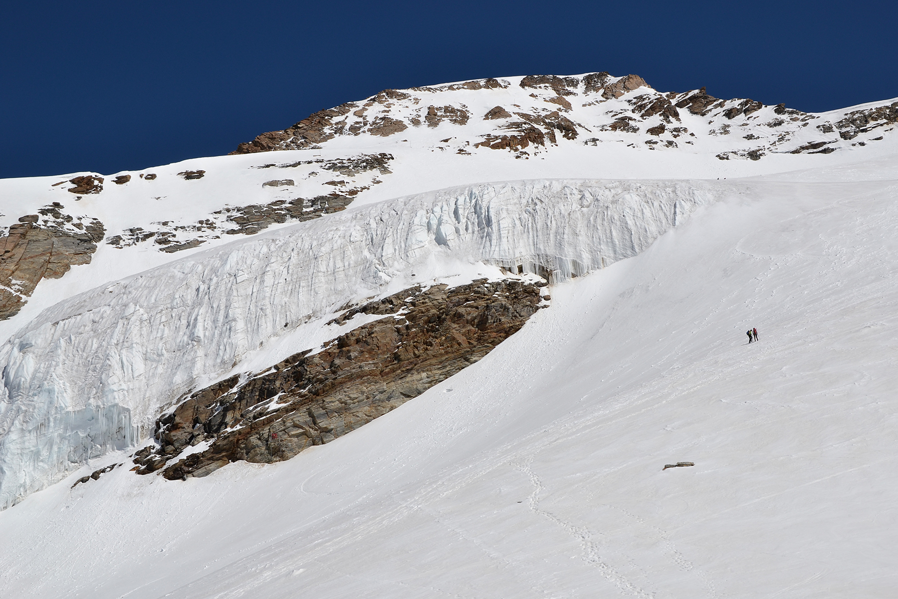
Almost
at the top (the marking is visible in the
background). Warm weather
makes the snow melt fast,
with high waterlevels and even flooding in
the valleys. |
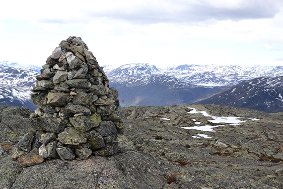
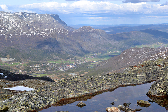
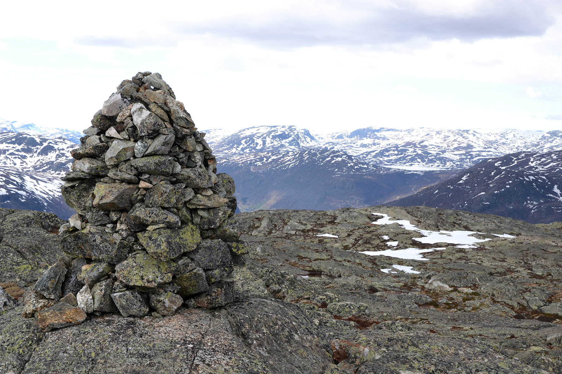
The
top cairn at Røggjin, with a view to the north. The lake Vavatn
to the right in the background. |
To the
northwest the road continues from Hemsedal, through Heimdalen
and then over the mountains to the westlands.
|

|
|
 |
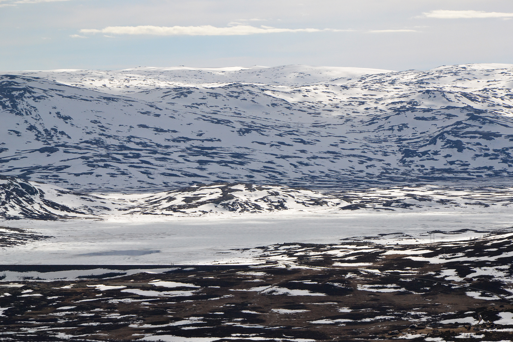
Straigh to the west, the
lake
Gyrinosvatnet, with
Reineskarvet behind. |
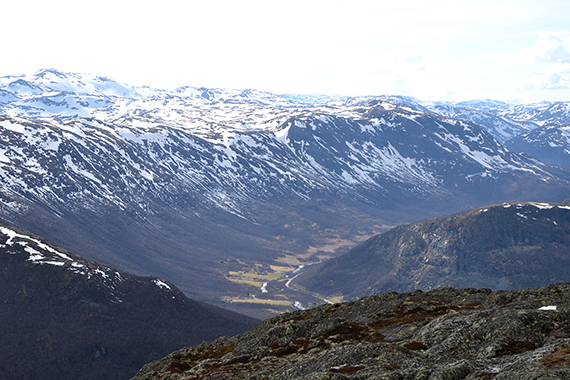
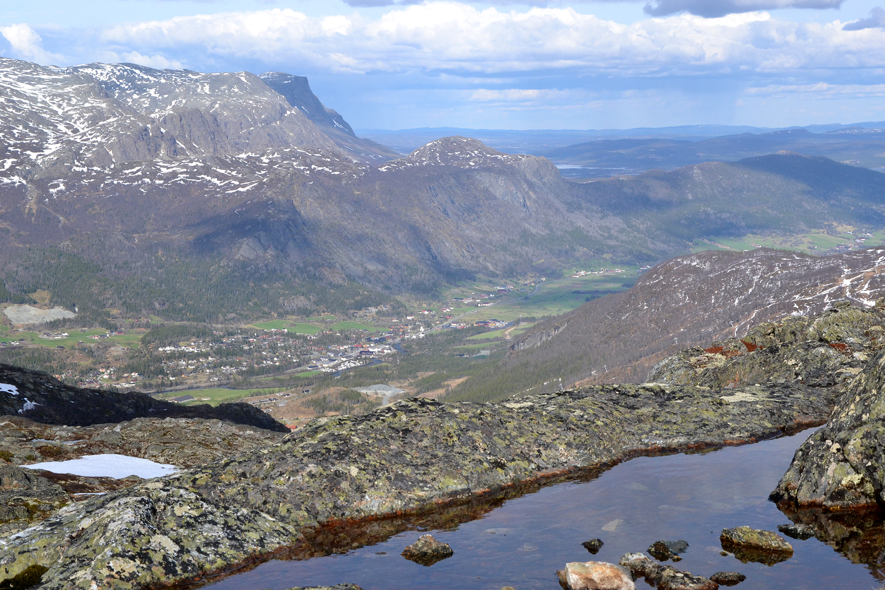
To
the east is Hemsedal, with Skogshorn 1728m
(among
others)
behind. In the middle of the picture is
the lower peak
Såta 1257m. |
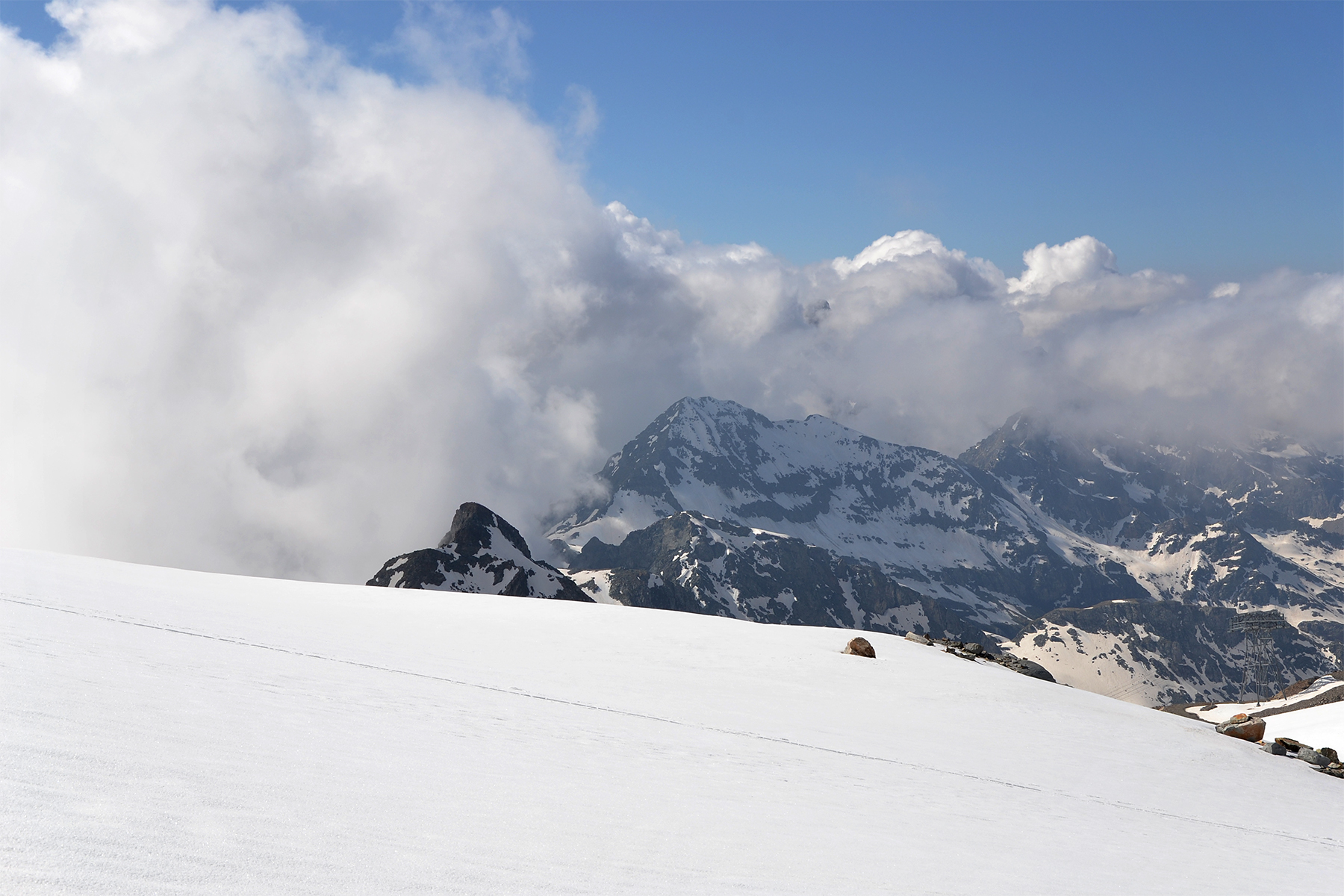
Far up to the north we can get a glimpse of
the sharper peaks in Jotunheimen. That's where we are going tomorrow.
|

