|
|

|
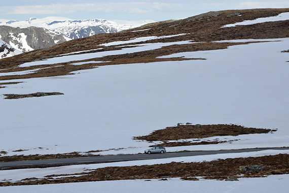
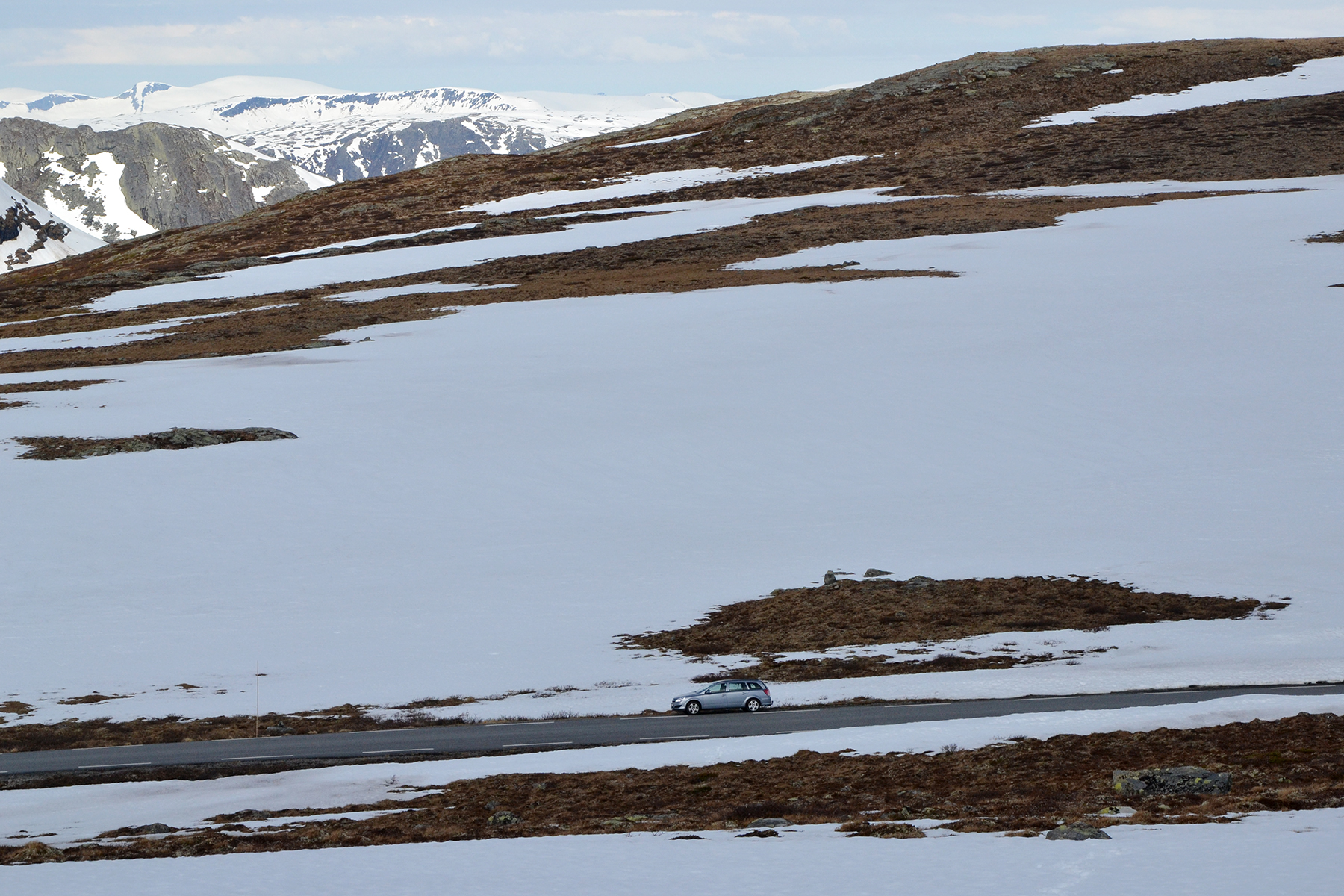
We
park the car by Tindevegen in Hurrungane,
Jotunheimen, on 1300m
altitude. Lots of snow and the
snow is soft. Skis or snowshoes would
have been
perfect today, but we have our walking boots. For that
reason
we try to avoid the snowfields as much as we can.
|
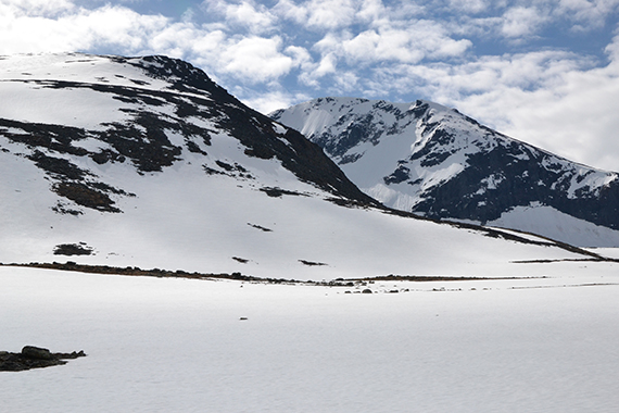
We
need about one hour to pass the flatter area and
reach the mountain.
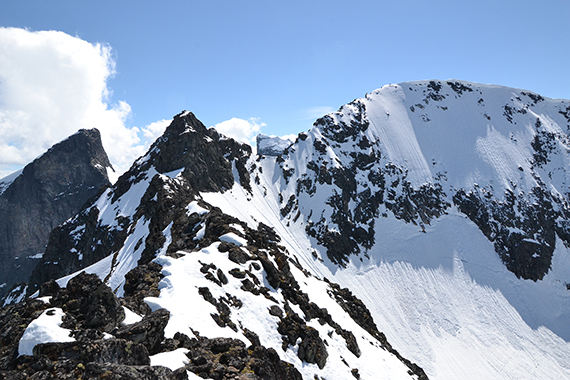
Here is Lauvnostind to the left, with
St. Soleibotntind,
2083m to
the right. |
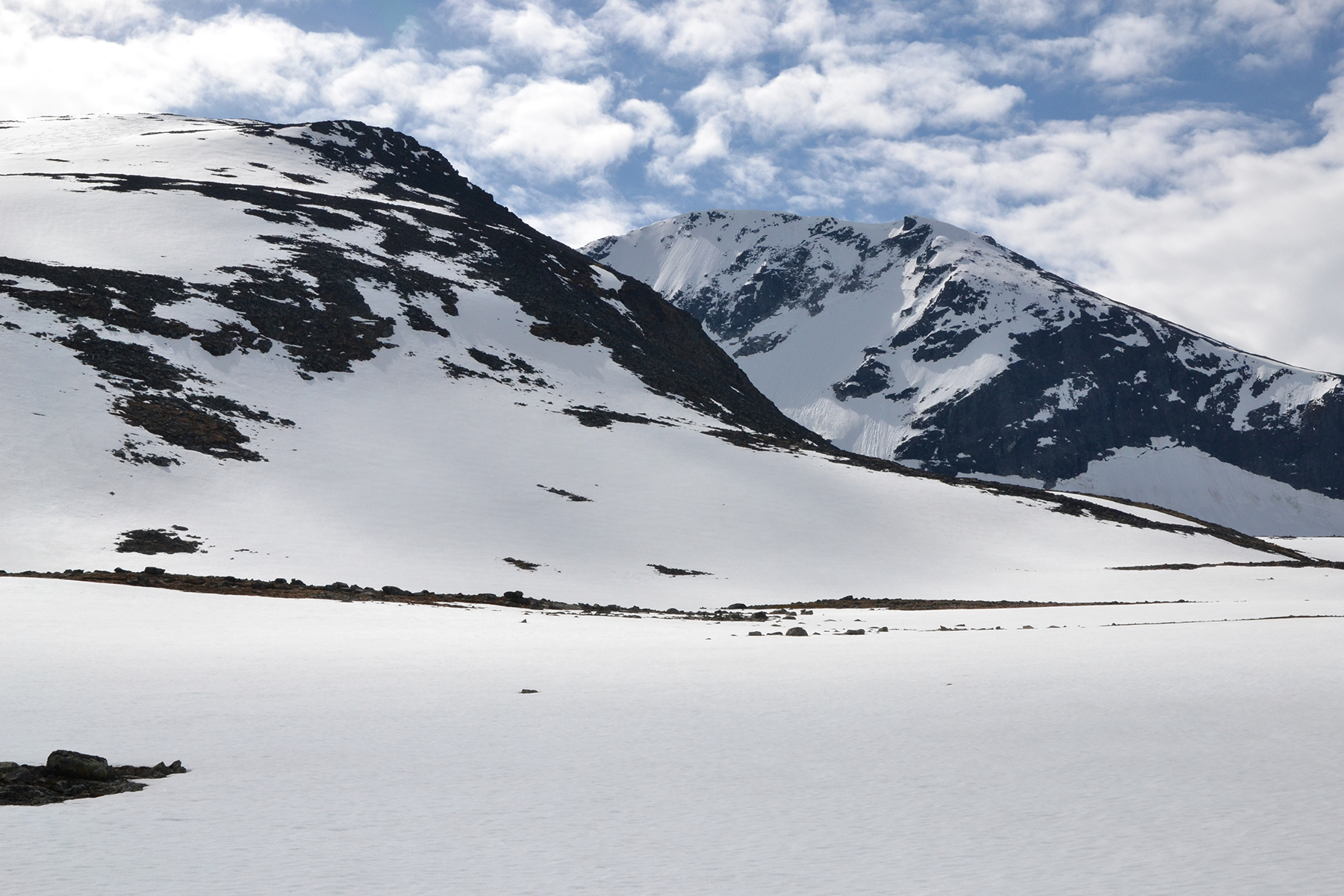
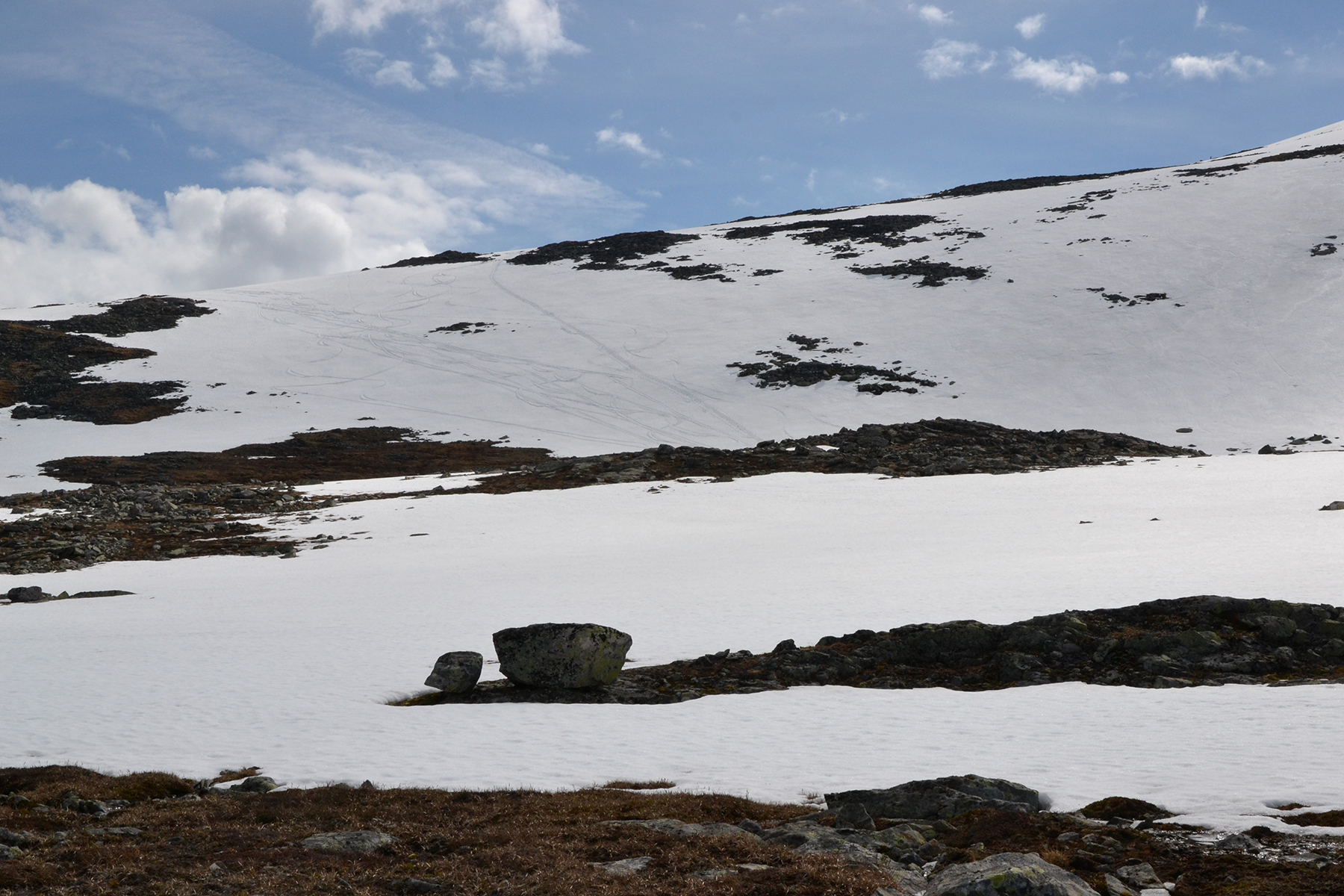
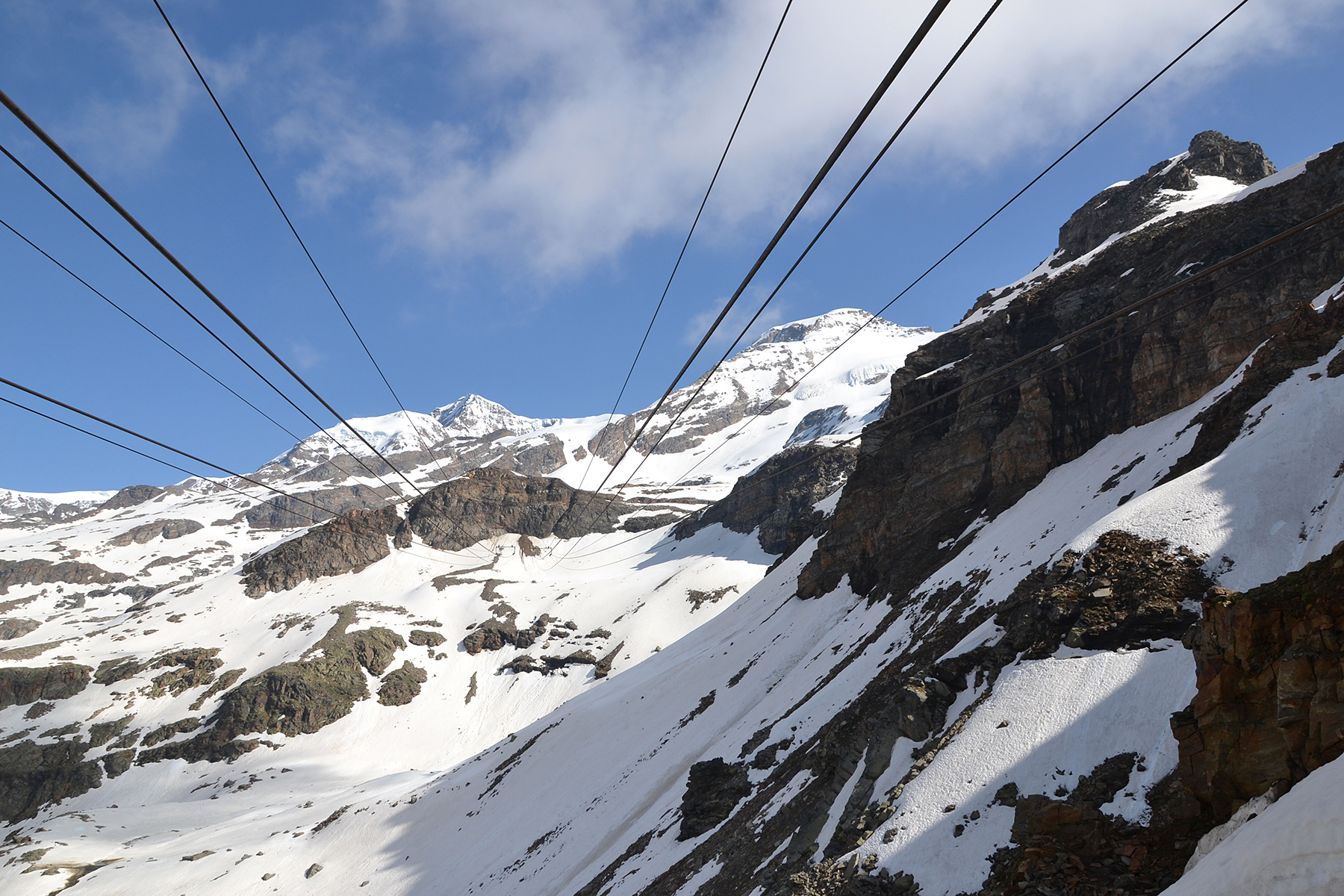
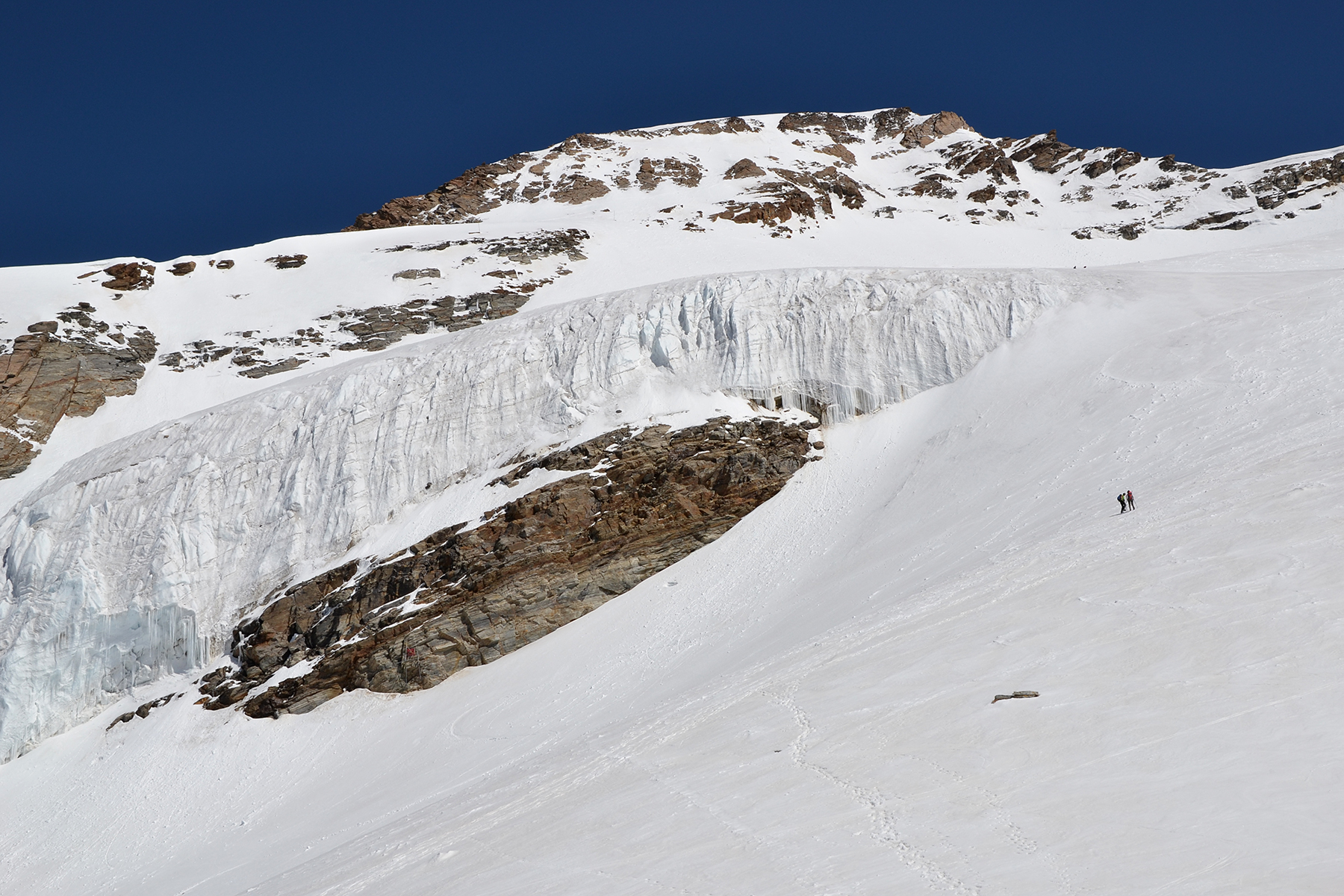
Many
snowfields need
to be passed before the actual climb begins. Then we follow the
skitracks, to get a little harder snow and not sink down to often. The path then continues towards the right.
|
|
|

|
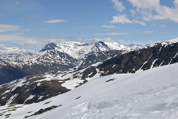
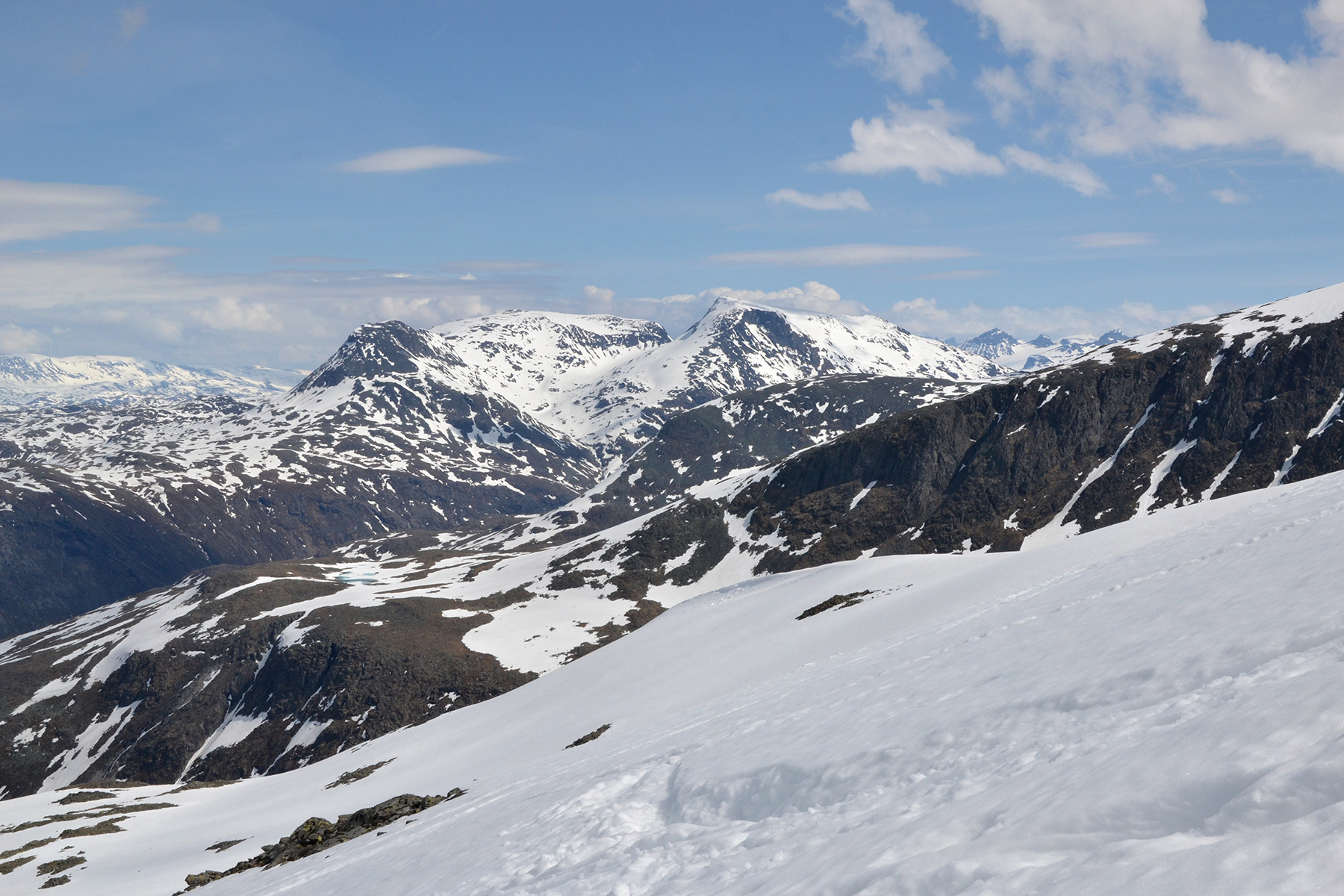
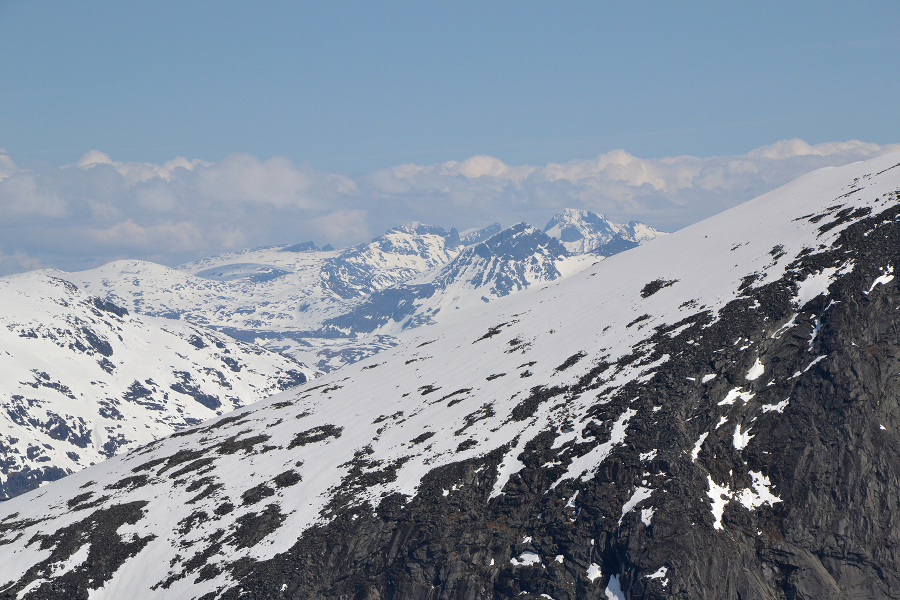
| From 1700m
we can see Steindalsnosi 2025m and Fannaråki 2068m. |
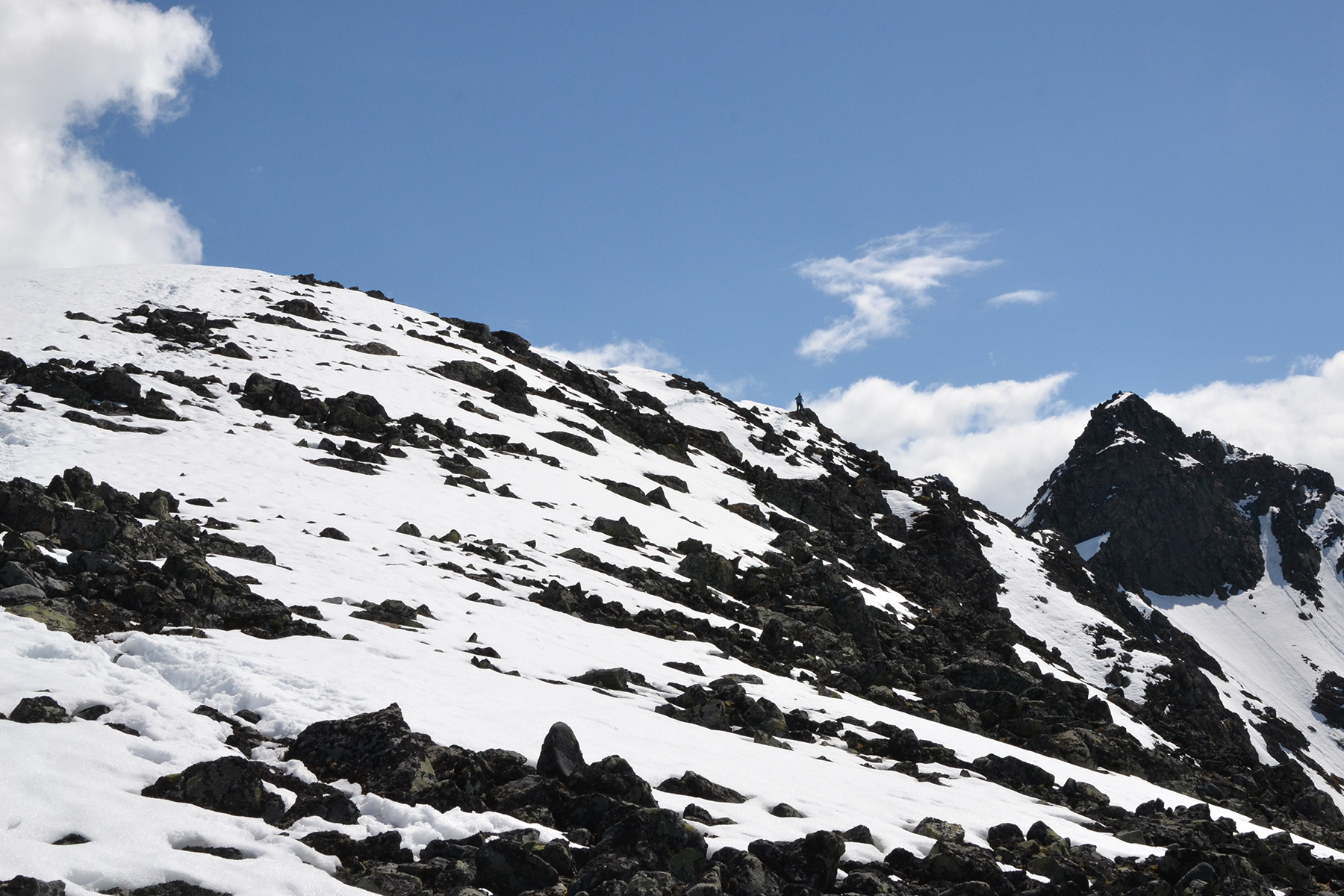
Just 100 altitude meters
left to the summit. It's here,
reaching the cliffs towards the east,
that is really gets
beautiful. |
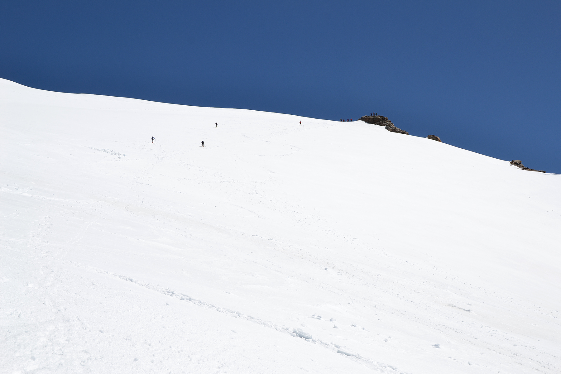
Almost
up, we can see a group at the summit. The last part requires about one
hour, as a result of sinking down in the soft snow over and over again.
We loose a lot of energy here, and try to stay on the rocks as much as
we can.
|
|
|
|
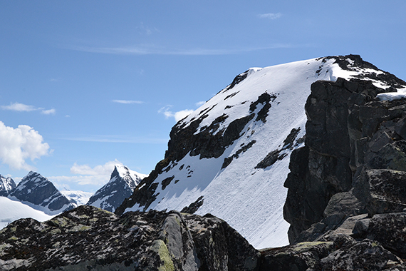
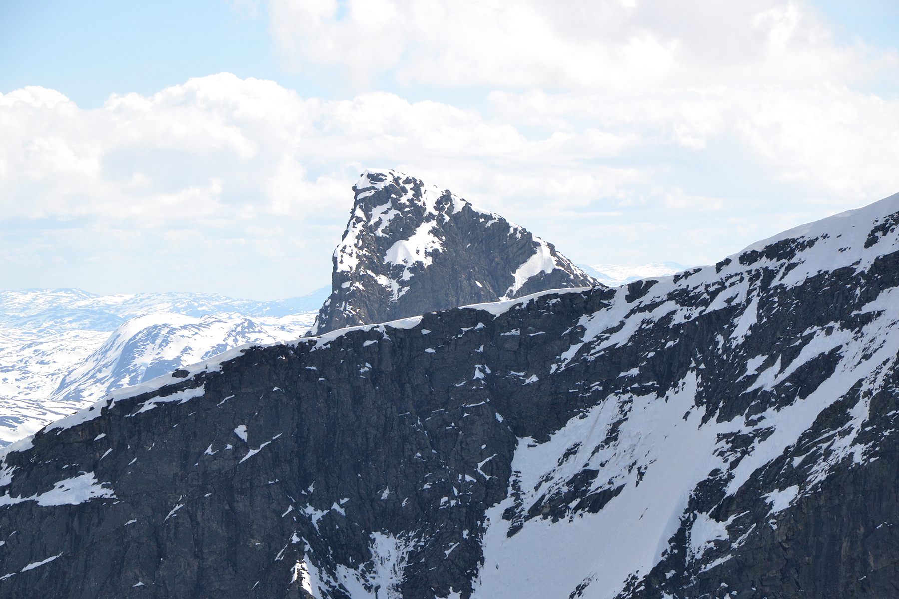
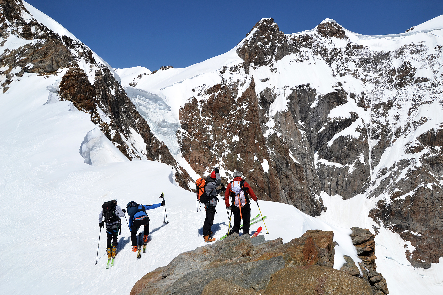
The summit is narrow, with steep cliffs on
both sides.
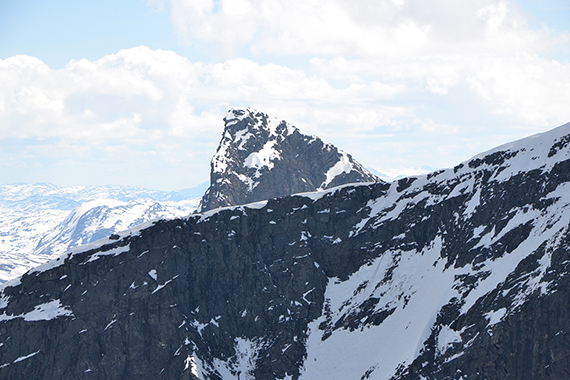
To the right is St.
Soleibotntind. Can you see two people
up there? |
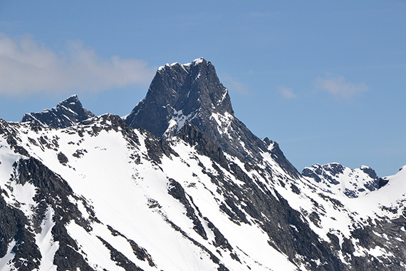
One of Ringstindane, I think. But which one?
I really don't
know. |
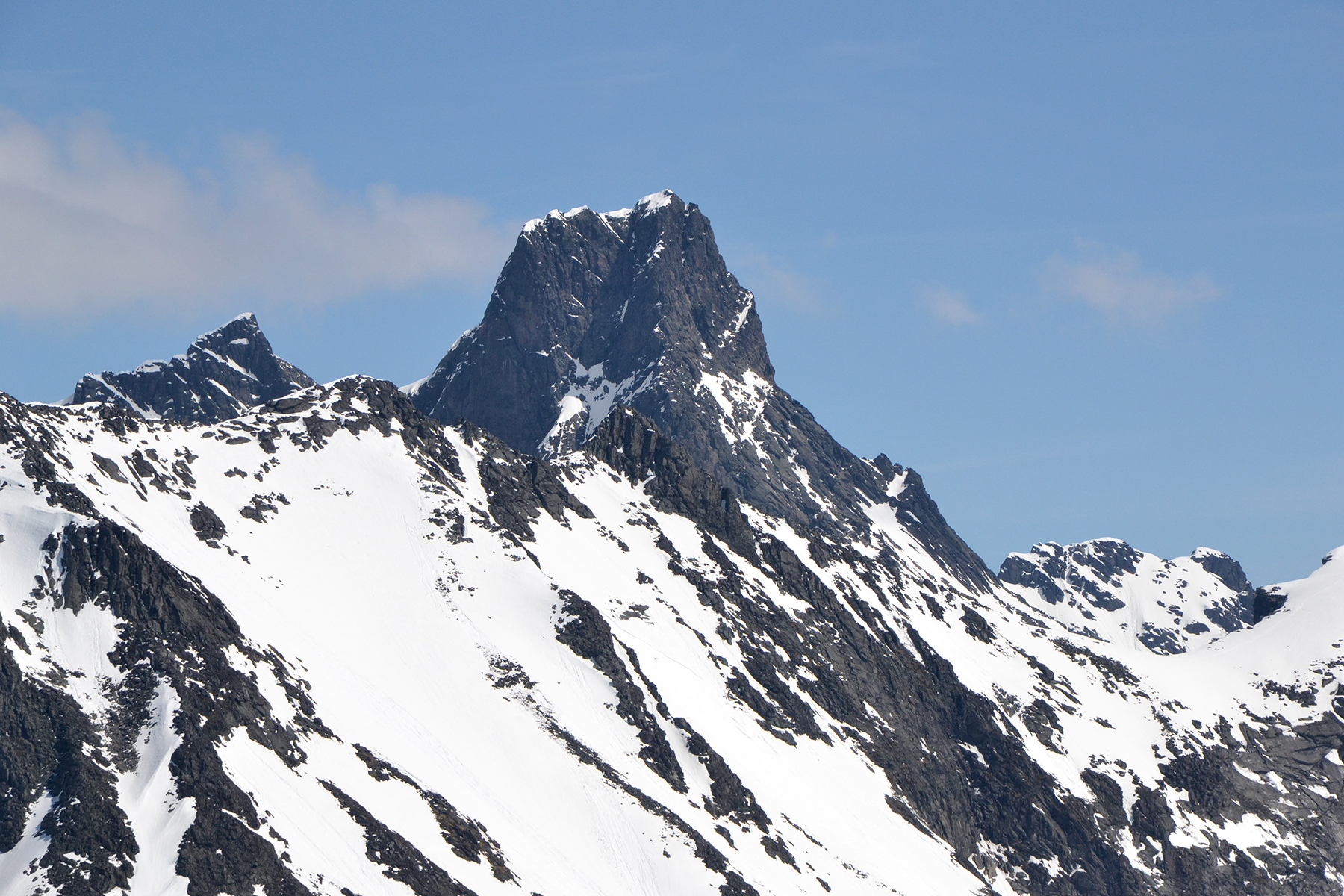
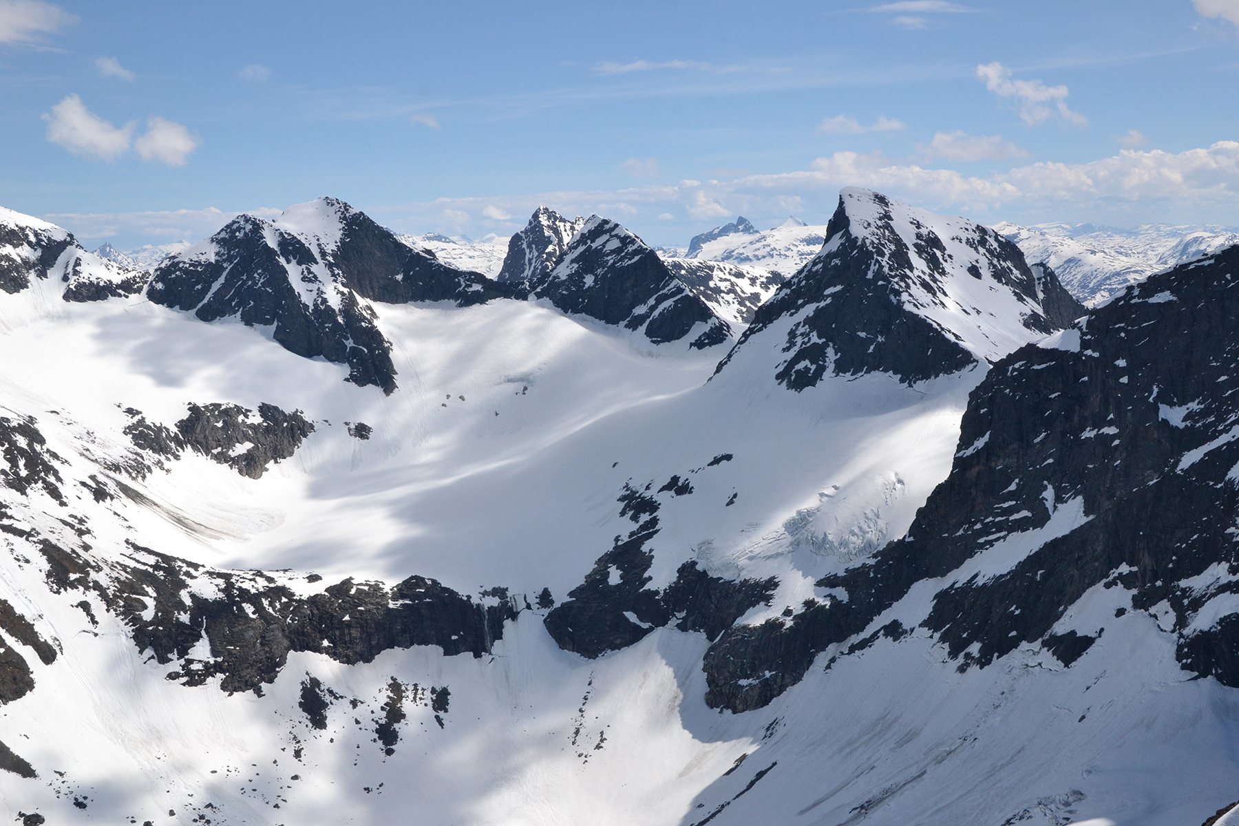
Stora Skagastølstind 2405m, The third highest in Norway.
|
 |
|
|
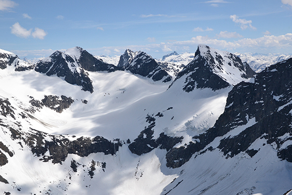
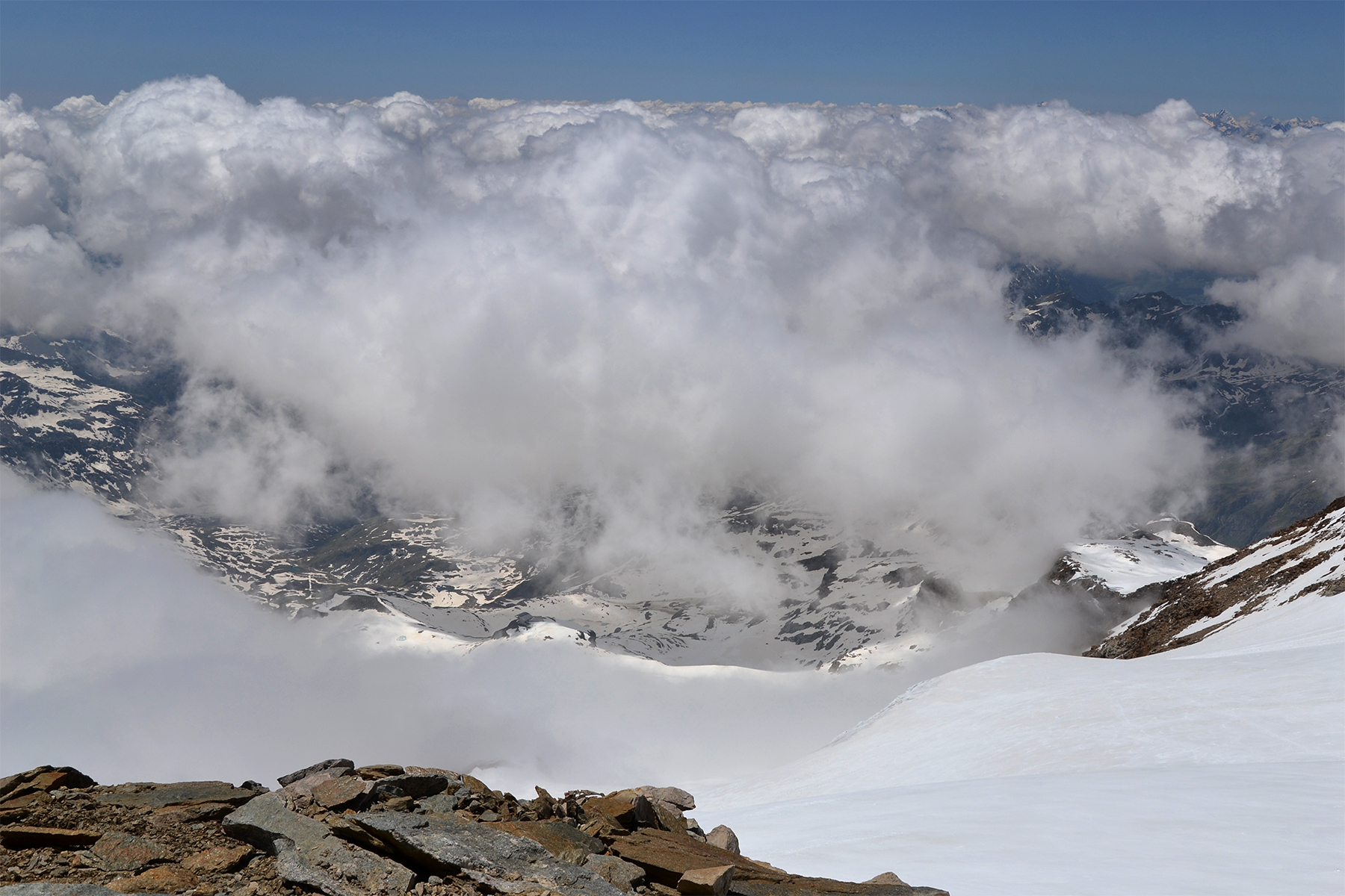
| Parts
of Jotunheimen, to the northeast. |
Lauvnostind
could seem less interesting, since it doesn't
reach the 2000m mark. But
the view from here is
breathtaking. I would definitely place it on my
10 best-list.
The sharp peaks and glaciers of Hurrungane are all
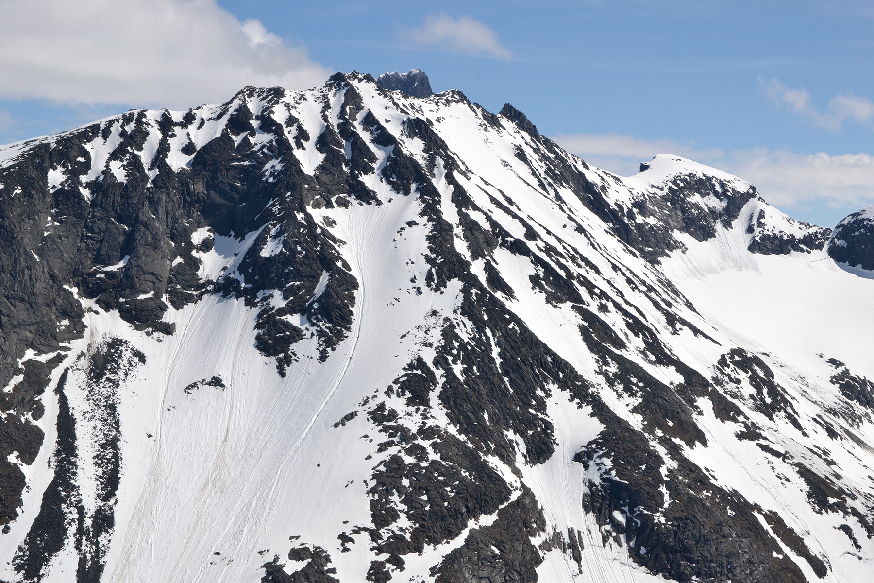
around. |
Dyrhaugsryggen
to the east, with peaks reaching 2147m.
|
|
|
|
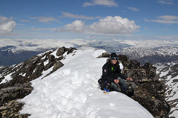
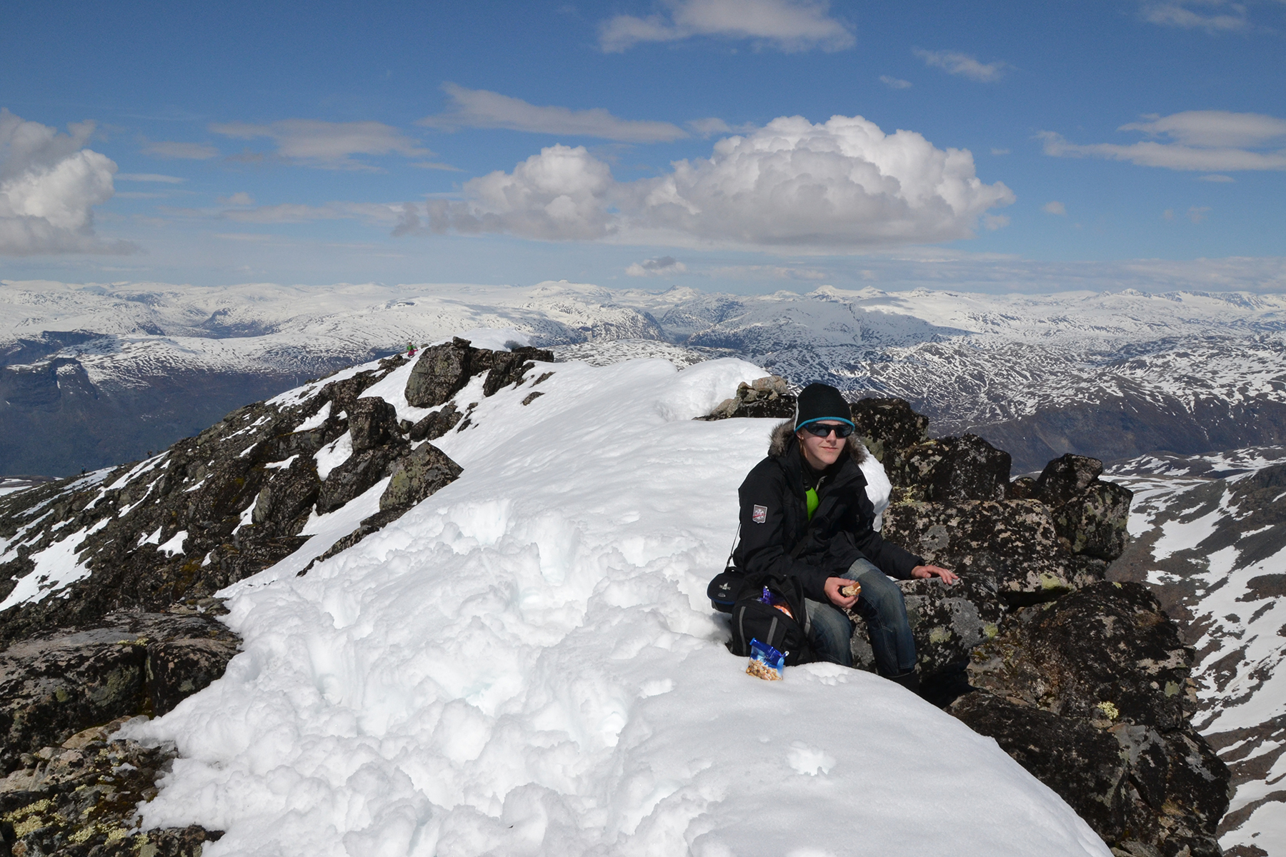
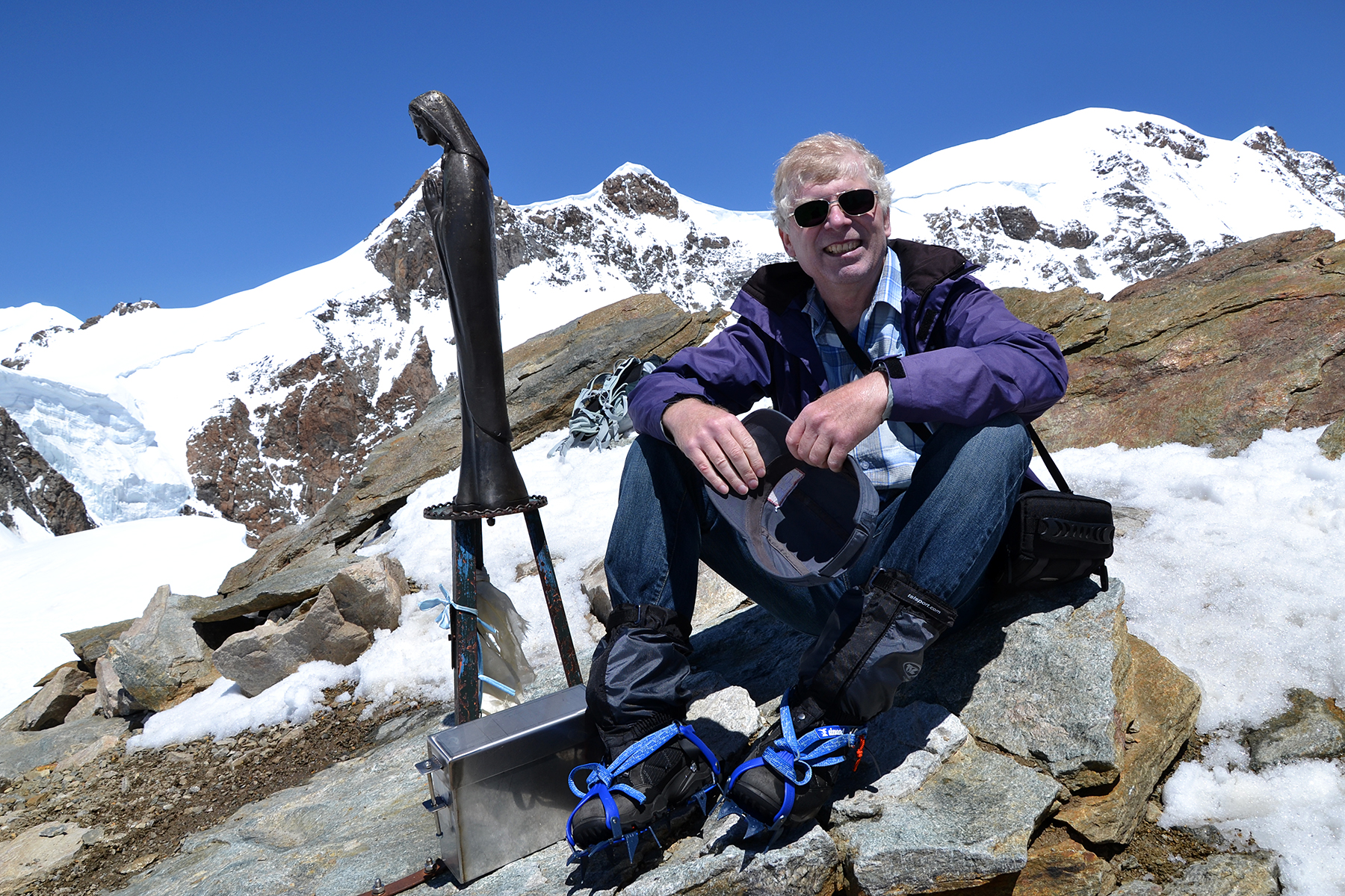
Dante
having a brake, taking in the views. Notice his wet jeans. It gives an
idea of how deep we sank down in the
snow. |
|
|


