|
|

|
Initially
my target is Mont Fourchon, 2902m.
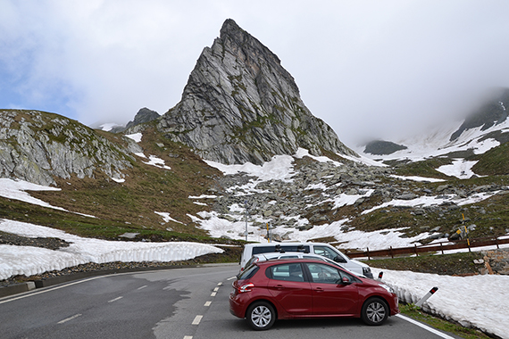
I park the car
about one km below the Grand st. Bernard pass, on the
Italian side on 2360m.
|
Immediately
I encouter snow. That was not a part of my
plan. Not at this modest
altitude in july. But there has been
a lot of snow in the Alps
this year. |
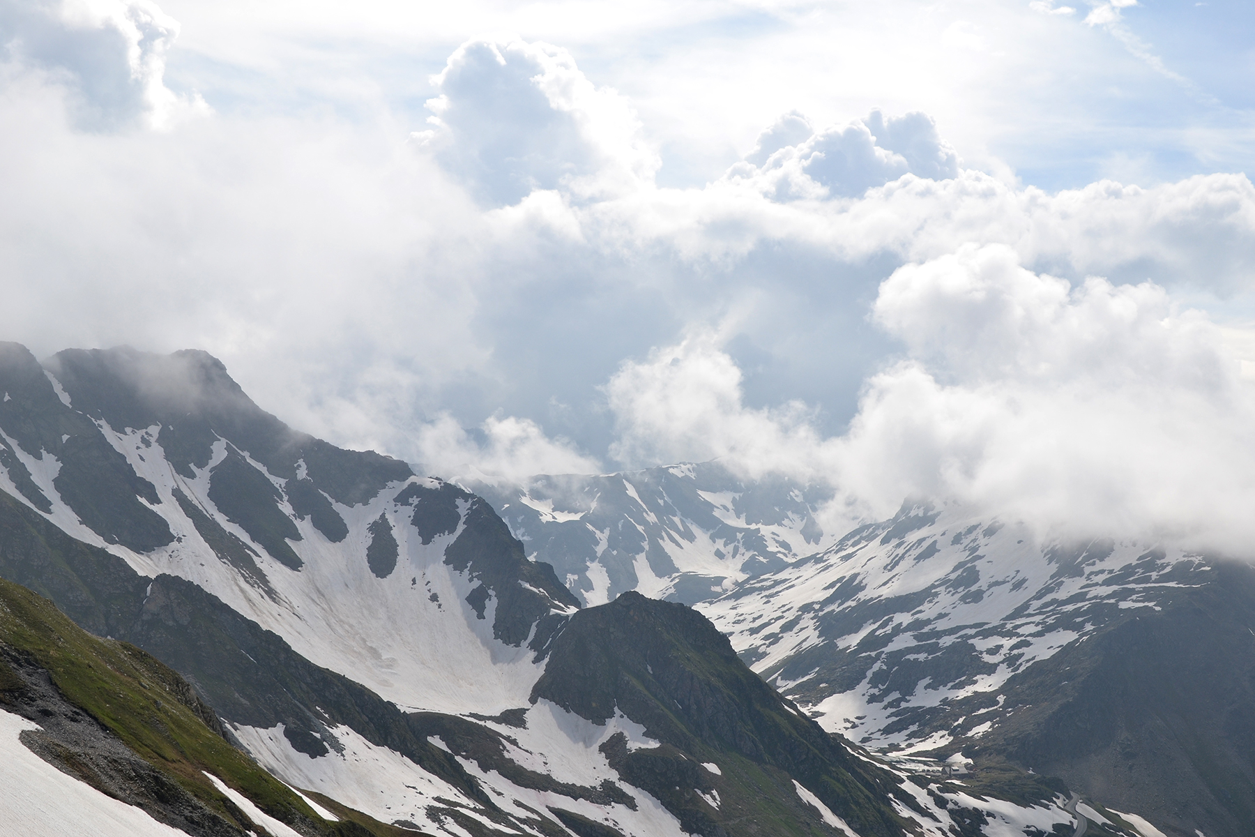
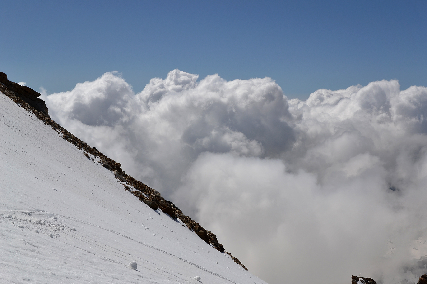
There
are some clouds over the peaks, but they dissolve as it gets warmer. I
make an early start because the forecast predicts rain and
thunderstorms for the afternoon.
|

|
 |
|
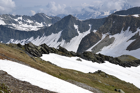
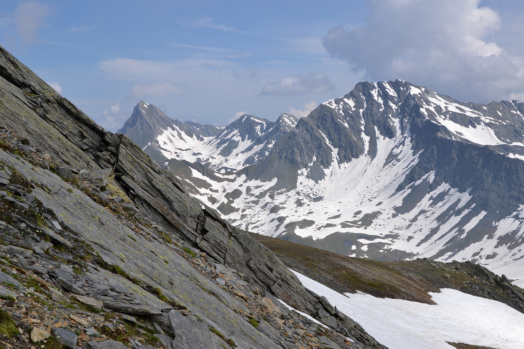
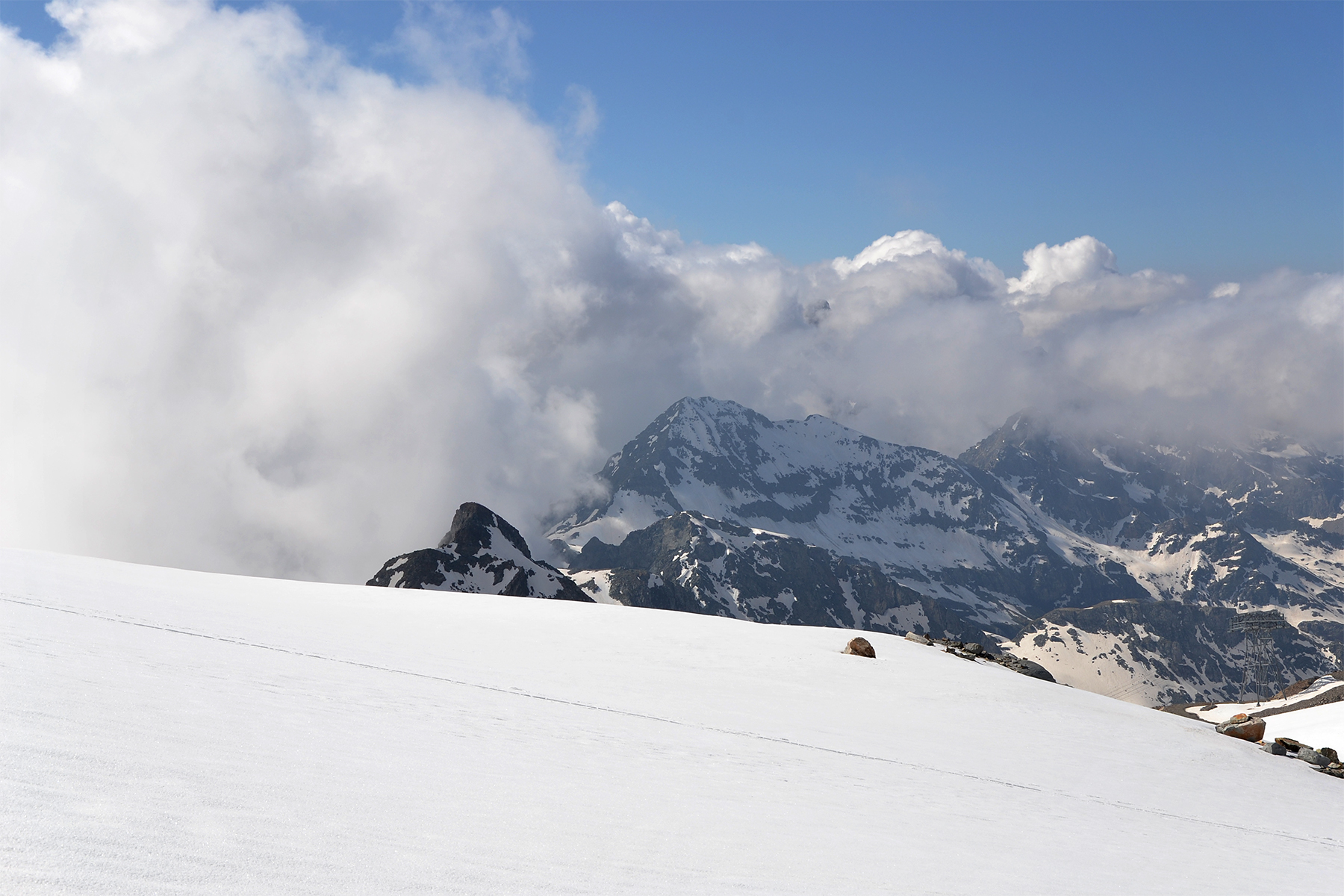
Looking
up towards the st. Bernard pass you can see the
clouds
towering up
already. Probably it's a good idea to
start early. |
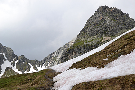
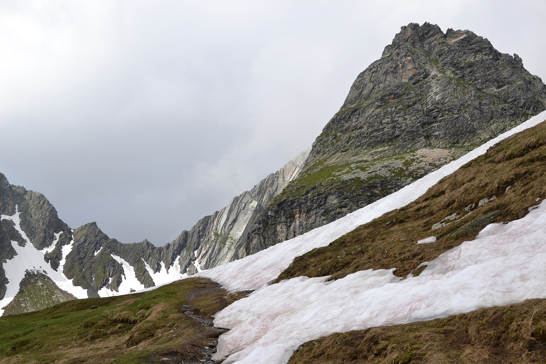
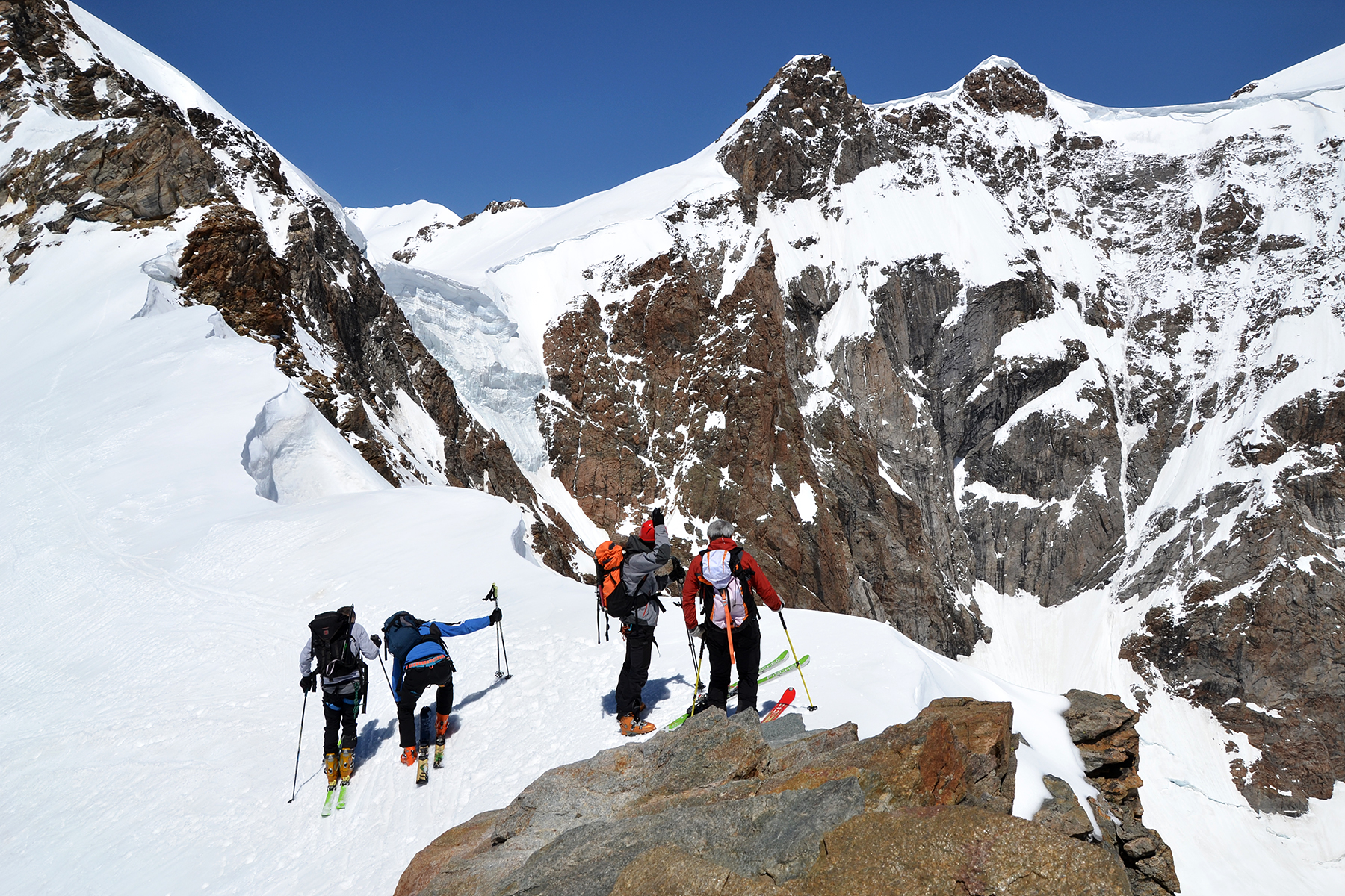
Because of the snow I have to skip my
initial target. It's
steep and to much snow on the slopes to Mont Fourchon,
and I didn't bring my crampons. A
little improvisation is required, and I choose Tète Fenetre,
2823m. To the right
of
the mountain there are enough bare areas for me to
climb, without
having to cross very much snow. |
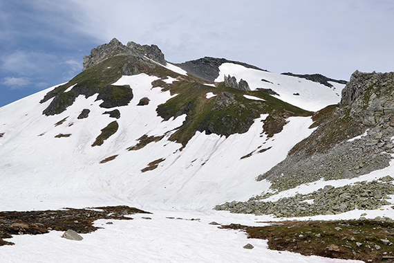
As a
secondary target there is the south peak of Tète de Fonteinte, 2772m,
accessible over a ridge from
Tète Fenetre. There
is also a good way down to the right of this mountain, and further down
the stony slopes.
|
|
|
|
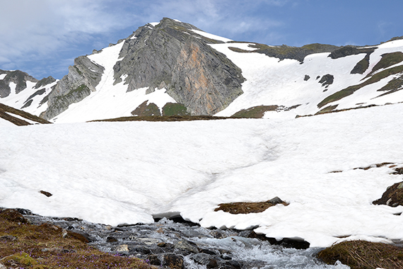
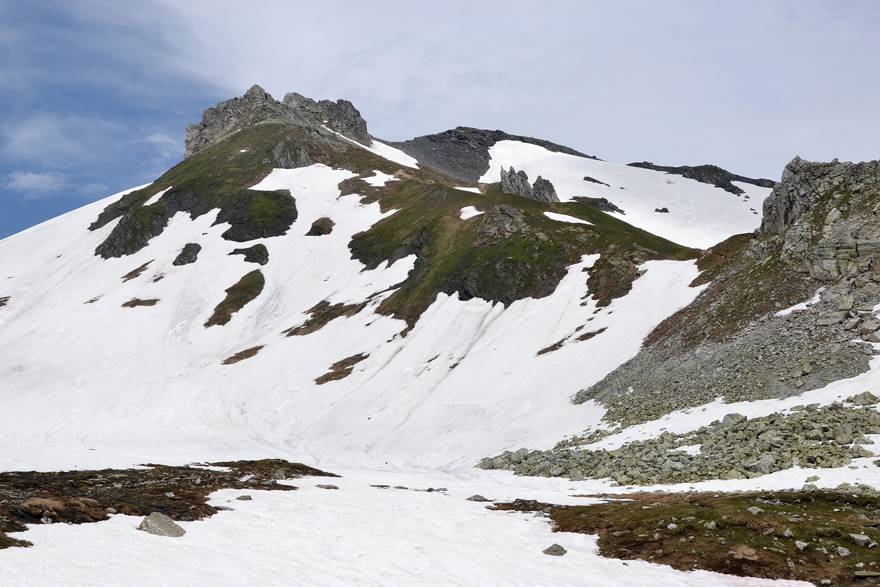
Luckily, the snow is hard. The
final section
towards the
summit of Tète
Fenetre is fairly
steep, but accessible
on the tracks you can follow. |
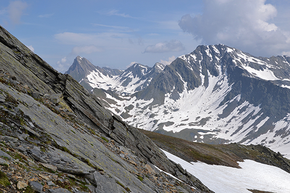
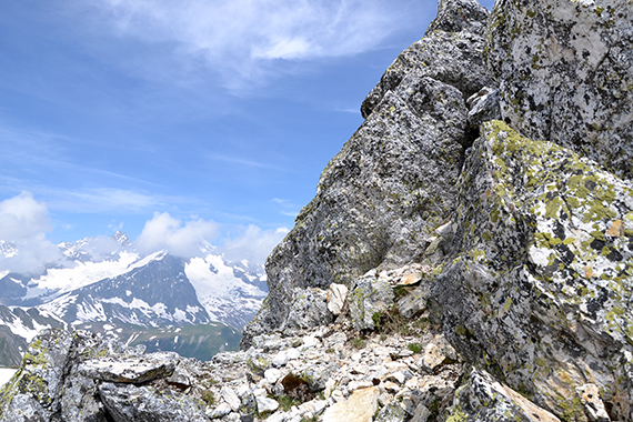
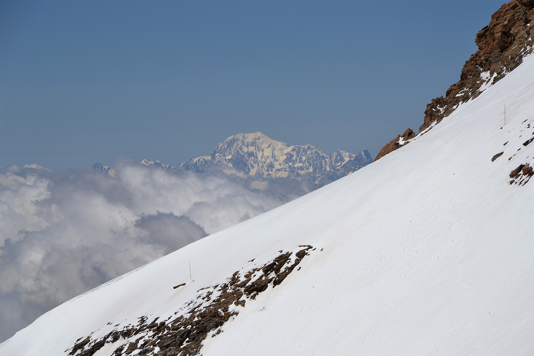
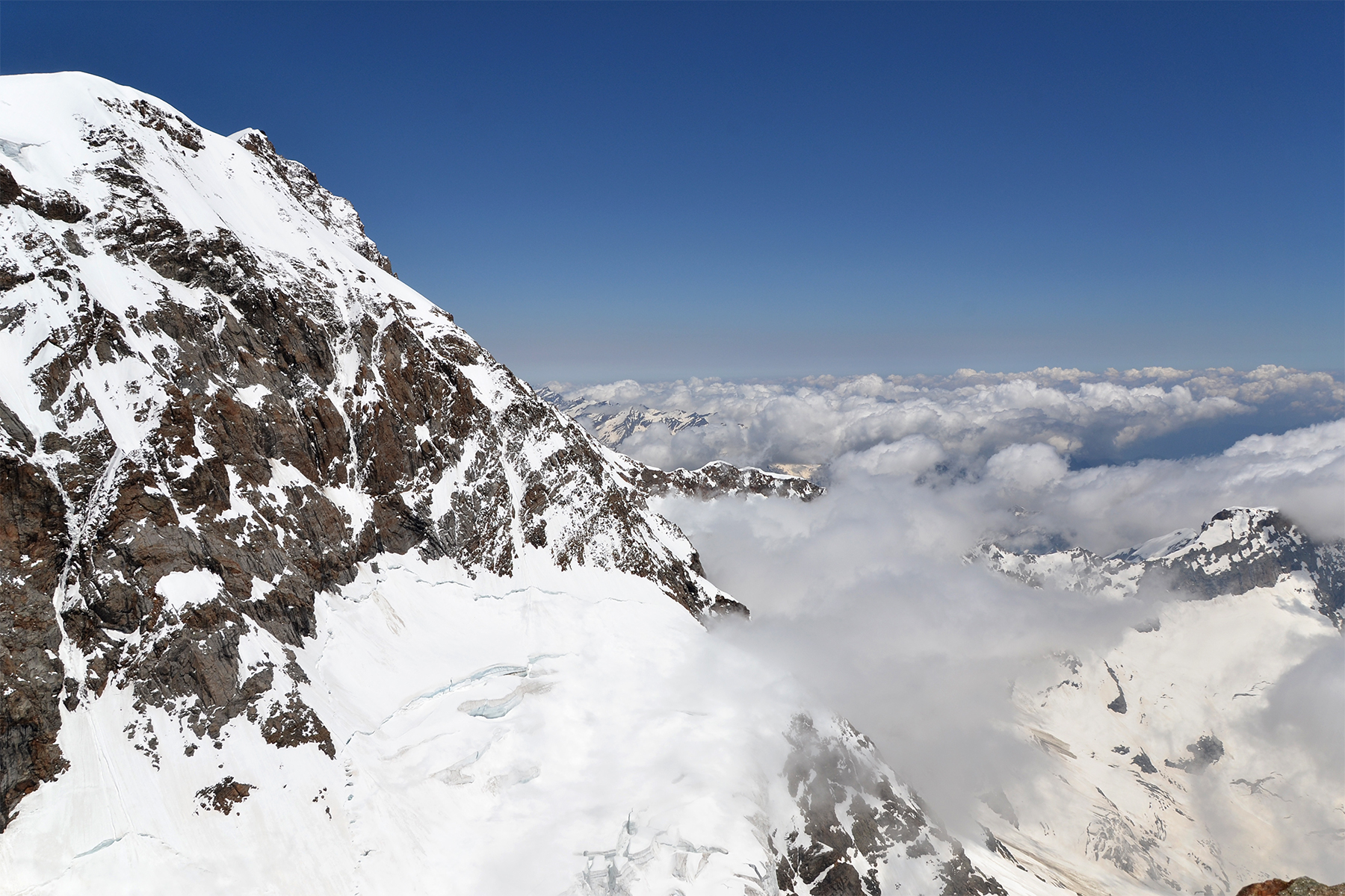
Mt.
Blanc is covered in clouds, but the areas north of it are
not.
And that's some view! A small summit cairn to the left. |
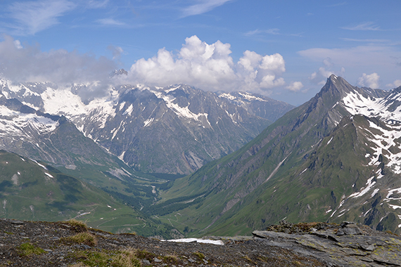
Further to the west, into Switzerland.
|
|
|
|
|
The valley Val Ferrel in Switzerland. |
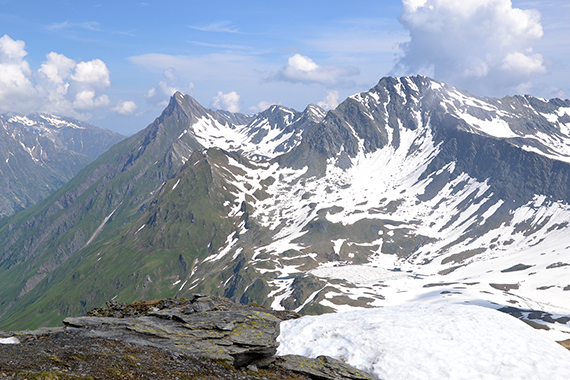
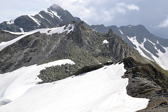
Time to
try the ridge. In fact it's easy to pass beacause
there is a good trail
going all the way. |
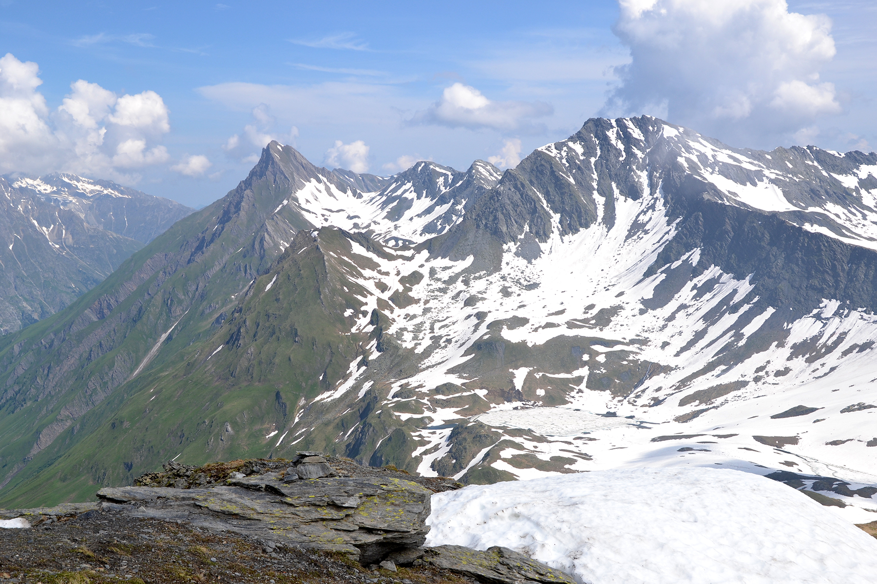
The
south peak of Tète de Fonteinte straight ahead, and Pointe de Dróne 2950m in the
background.
|

|
|
|
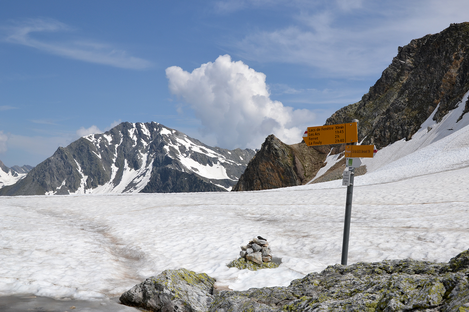
Down to
the pass Fenétre de Ferret, 2698m. This is the
border between Italy and Switzerland.
|
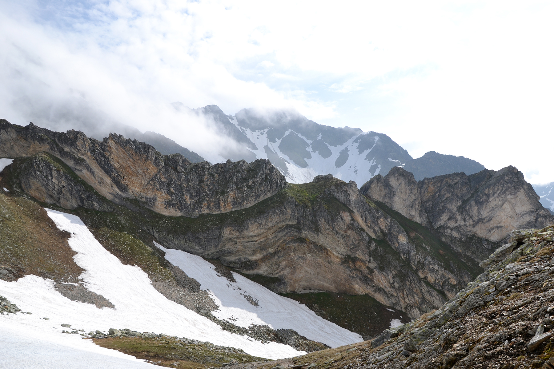
The
climb to Tète de
Fonteinte
from the pass is about 80 altitude meters, but it's steep and
requires scrambling.
This is no peak for beginners. Here you climb the
rupture
with the impacted stone. |
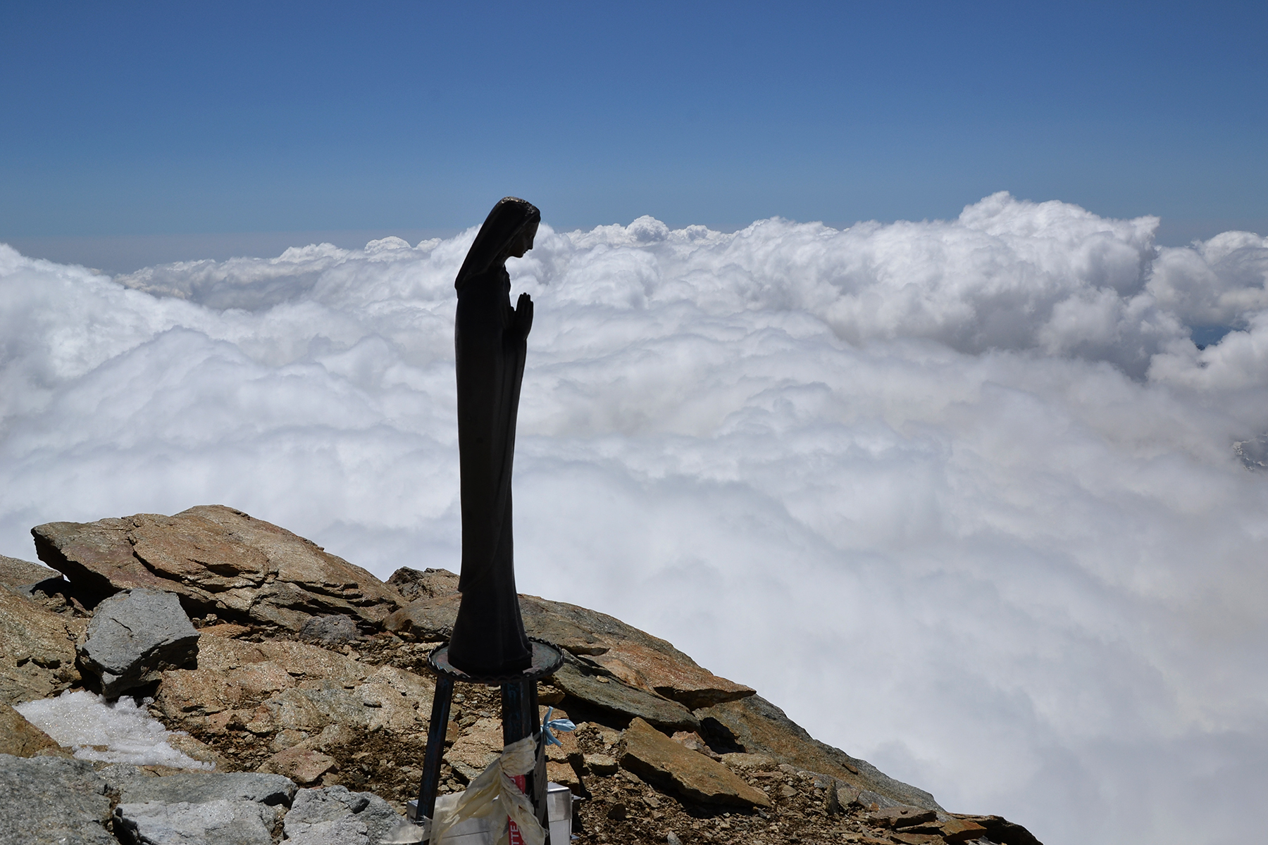
The
high point on the south summit of Tède
Fonteinte.
You
climb the rapture in the middle of the picture. The main summit is
visible from here, and it
seems far more accessible. This peak also seems easier to climb from
the
other side.
|

|

|
|
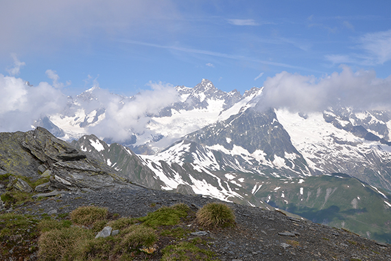
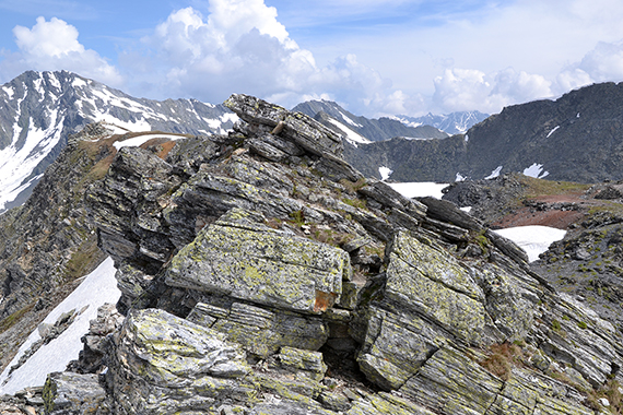
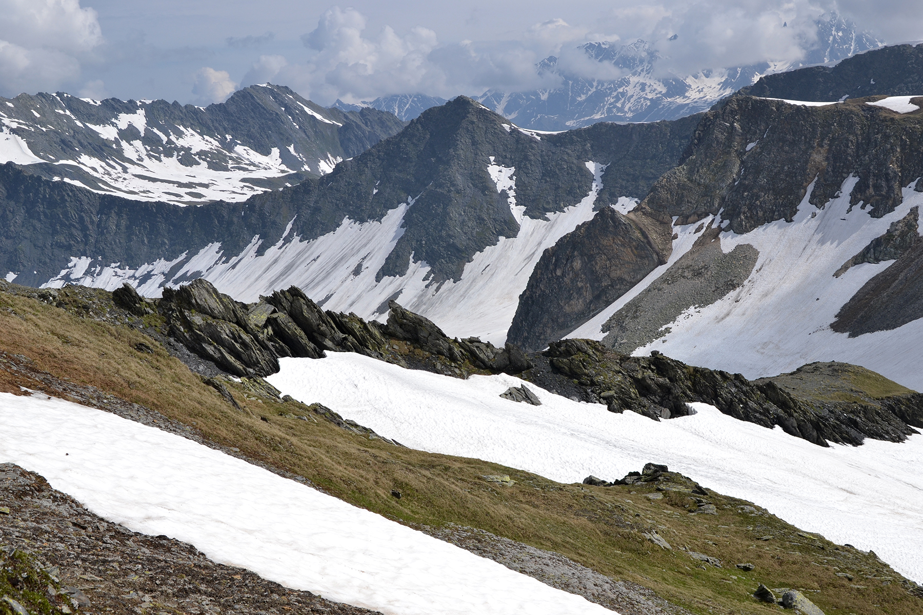
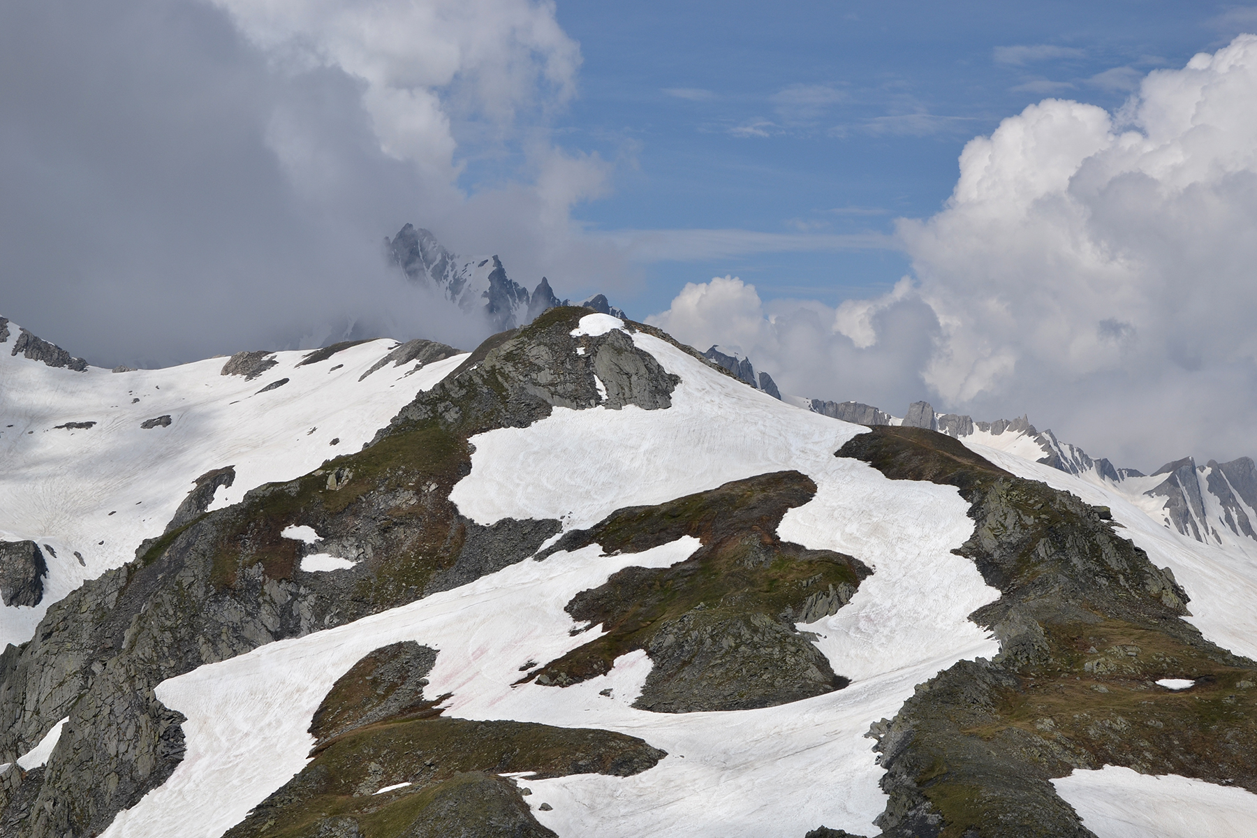
A look
back to Tète
Fenetre.
Behind are som sharp peaks
closer to Mt. Blanc. |
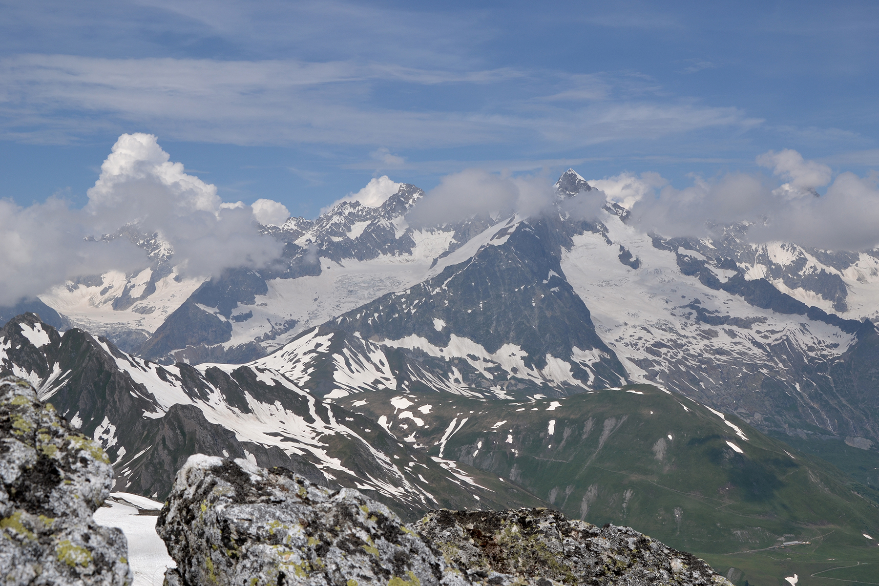
I'm not
sure if these are French or Italian Alps, but they
belong to the great
peaks north of Mt. Blanc. |
|


