|
|
|
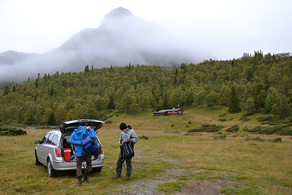
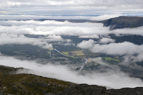
A
front has passed during the night, and in the morning all mountains are
covered with clounds. But the weather
slowly improves and we start at 9.30,
920m altitude. It's
2,5 degrees celsius. Såta, 1257m, can be seen through
the clouds.
|
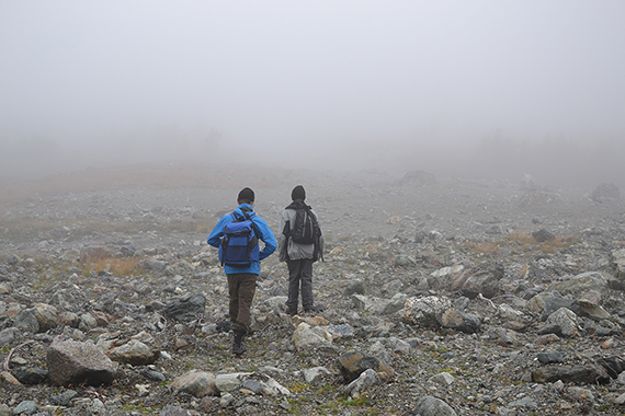
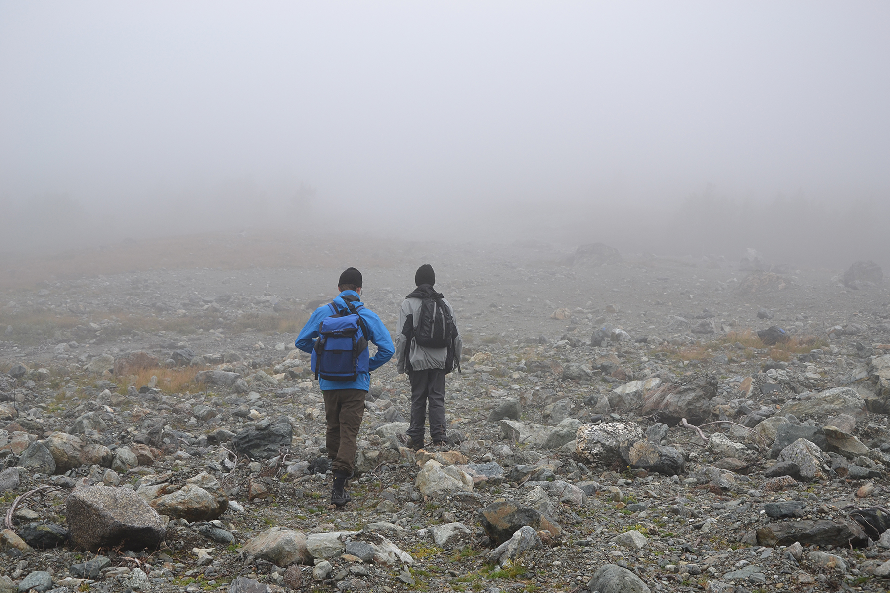
Into
the clouds. We are passing the lake Såtetjerne at
1069m. The visibility
is almost zero. |
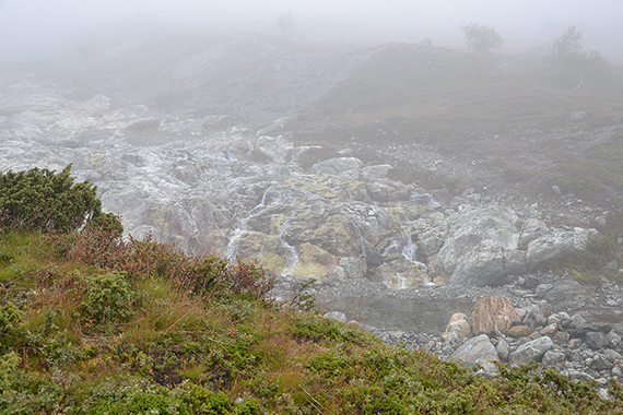
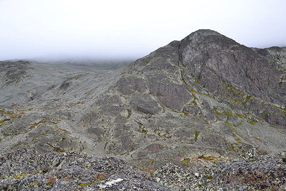
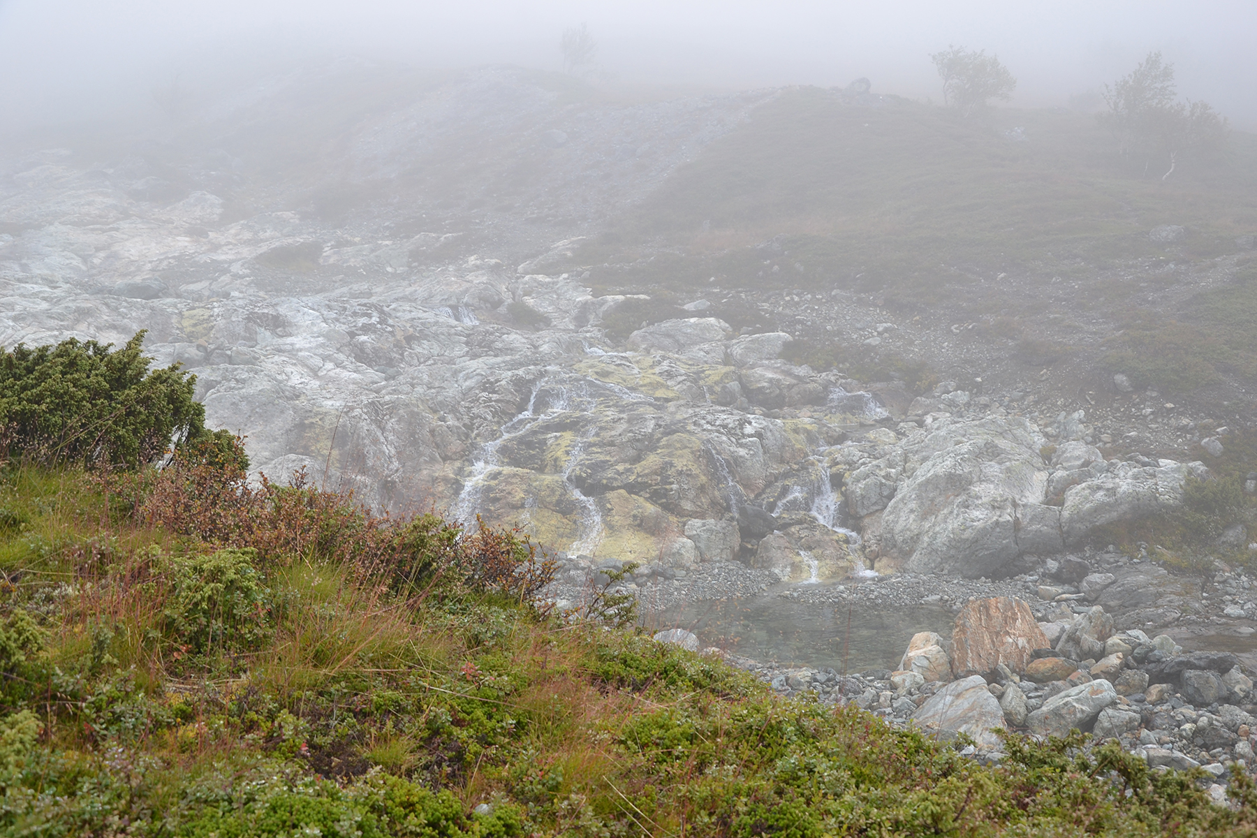
But
it can be beautiful even within a cloud. We follow the stream for a
bit, looking for a good path towards the south summit of Skurvefjellet.
|

|
|

|
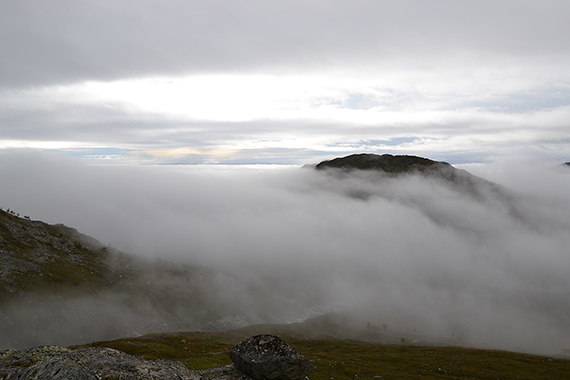
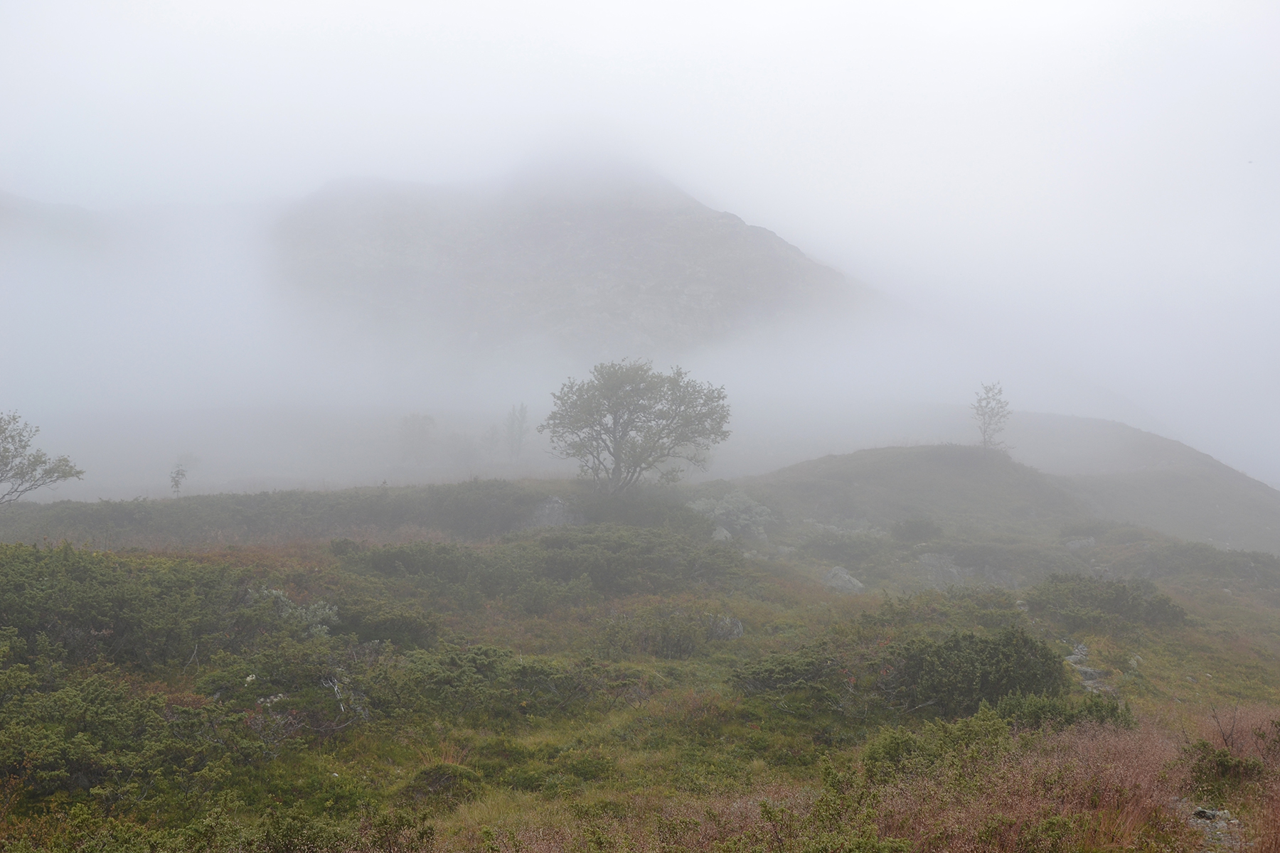
| A
little higher we approach the top of the clouds. The mountains begin to
appear again. |
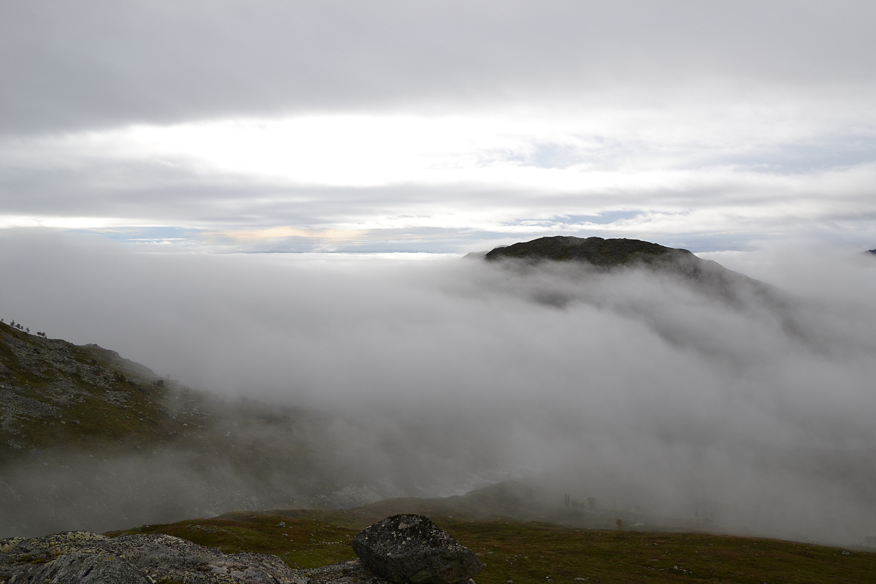
Only
a short while later we reach the top of the clouds.
Here it turns
really beautiful, almost magical. The summit
of Såta reaches up through
the clouds. |
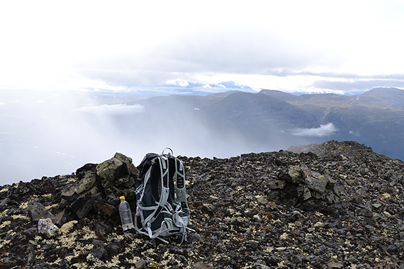
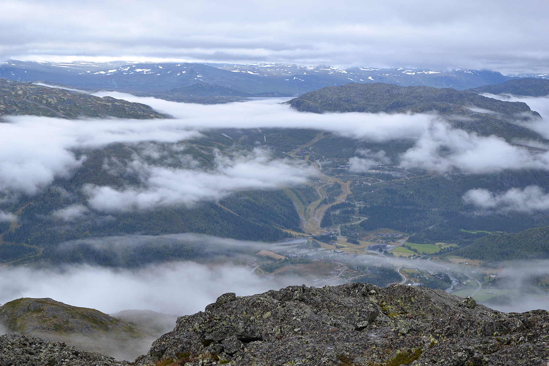
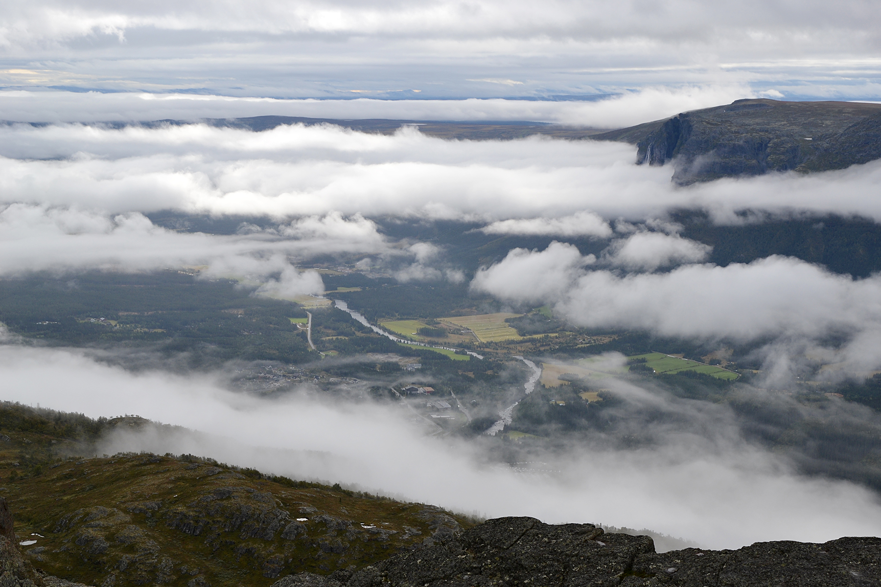
The
ski slopes of Hemsedal, seen from the south summit at 1428m. The lower
stratus layer is beginning to disperse, but there is another, higher up.
|
|
|
|
To the south, the high waterfall of
Veslehorn can just barely
be seen. |
Up
towards the main summit it looks worse. It's still covered
by the
higher stratus layer. We are still optimistic, and start climbing.
|
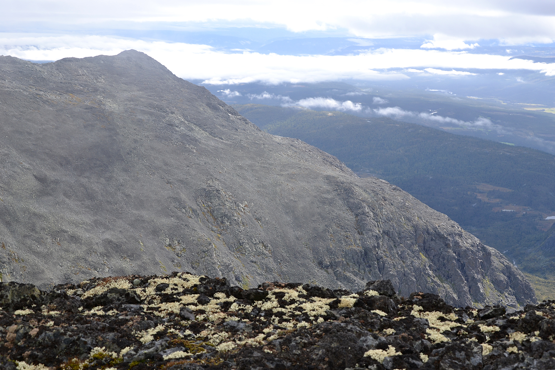
On
the
southeast lookout point, GPS-altitude 1712m, about one hour later. The
clouds disperse just a few minutes before we get there. The main
summitis still in clouds.
|

|

|

|
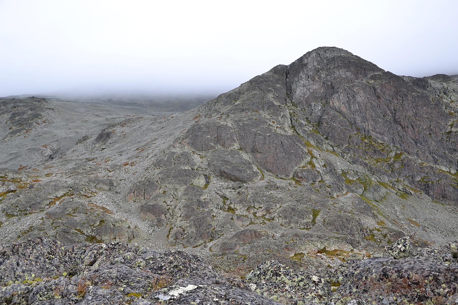
| To
the southeast are the slopes towards Nibbi, 1741m. |
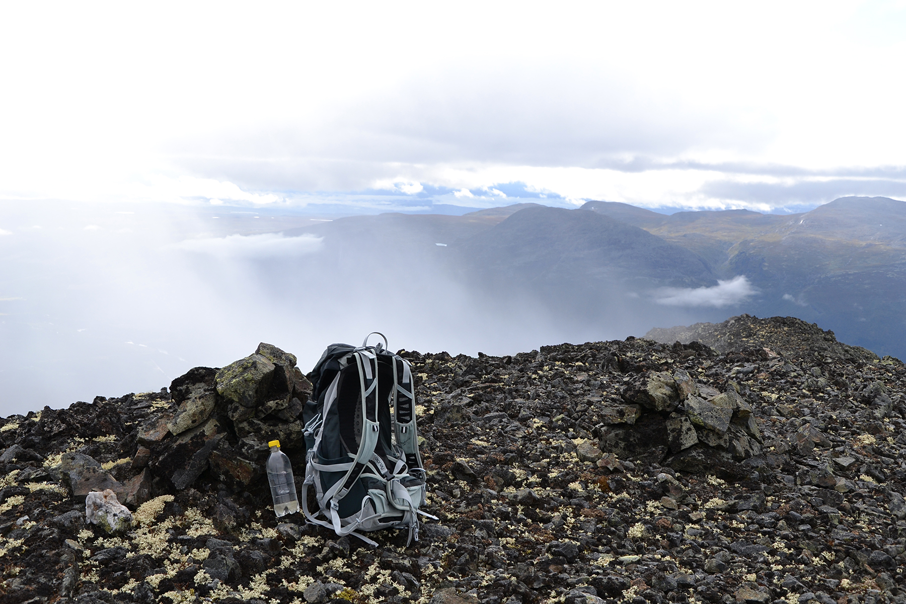
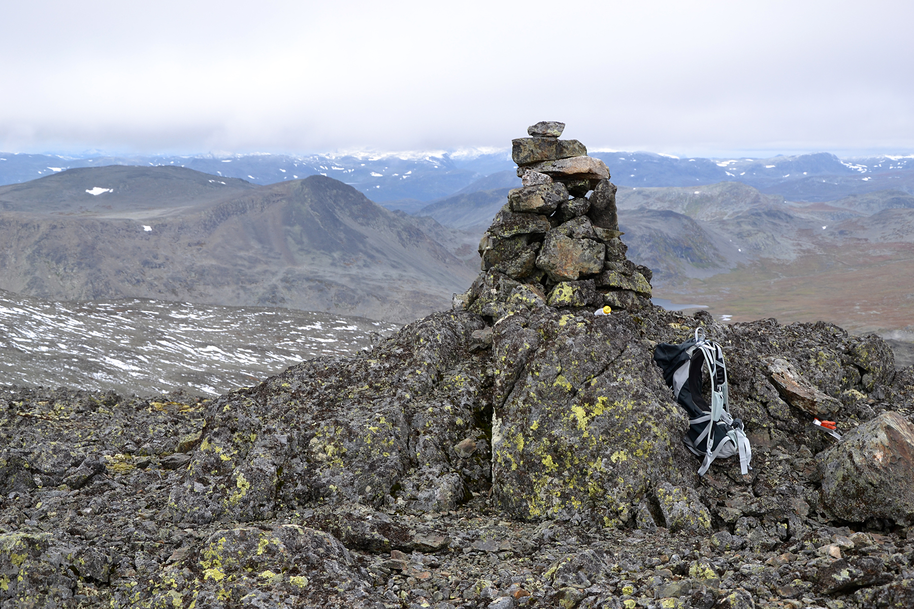
At the main summit, 1741m. It's only
500m from the lookout point, and the summit is now free from clouds. We feel
rather good about that. |
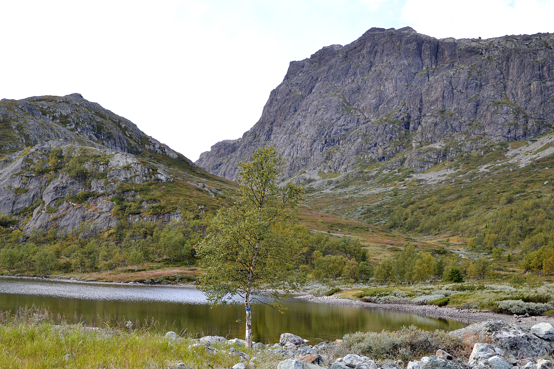
A
few pictures from the way down, when the weather has improved. Here is
the lake Såtetjerne at 1069m, with the south summit of Skurvefjellet.
The steep wall is sometimes used by climbers.
|

|
|
|
Skurvefjellet,
seen from the road. The south summit is to
the left of the middle,
while the main summit is hidden
behind the slopes of NIbbi.
|
|
|

