|
|
|
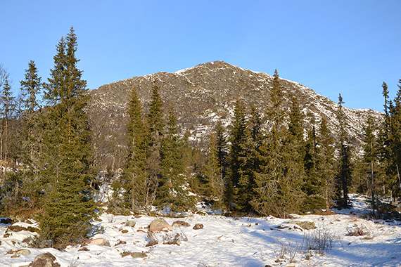
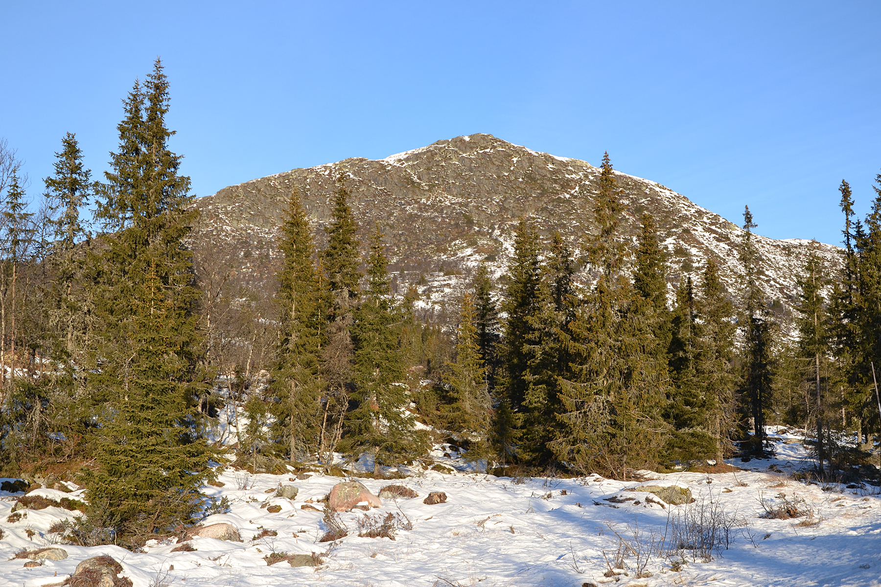
Flentpiken,
as it looks from the road north of Haglebu. It's
a bit cold, 14 degrees below zero when I start walking. But
the snow is a little harder than
yesterday, making it easier
to walk. I park at the same place as yesterday, on
880m
altitude.
|
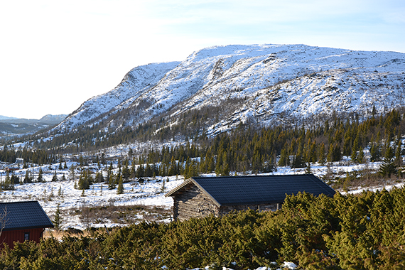
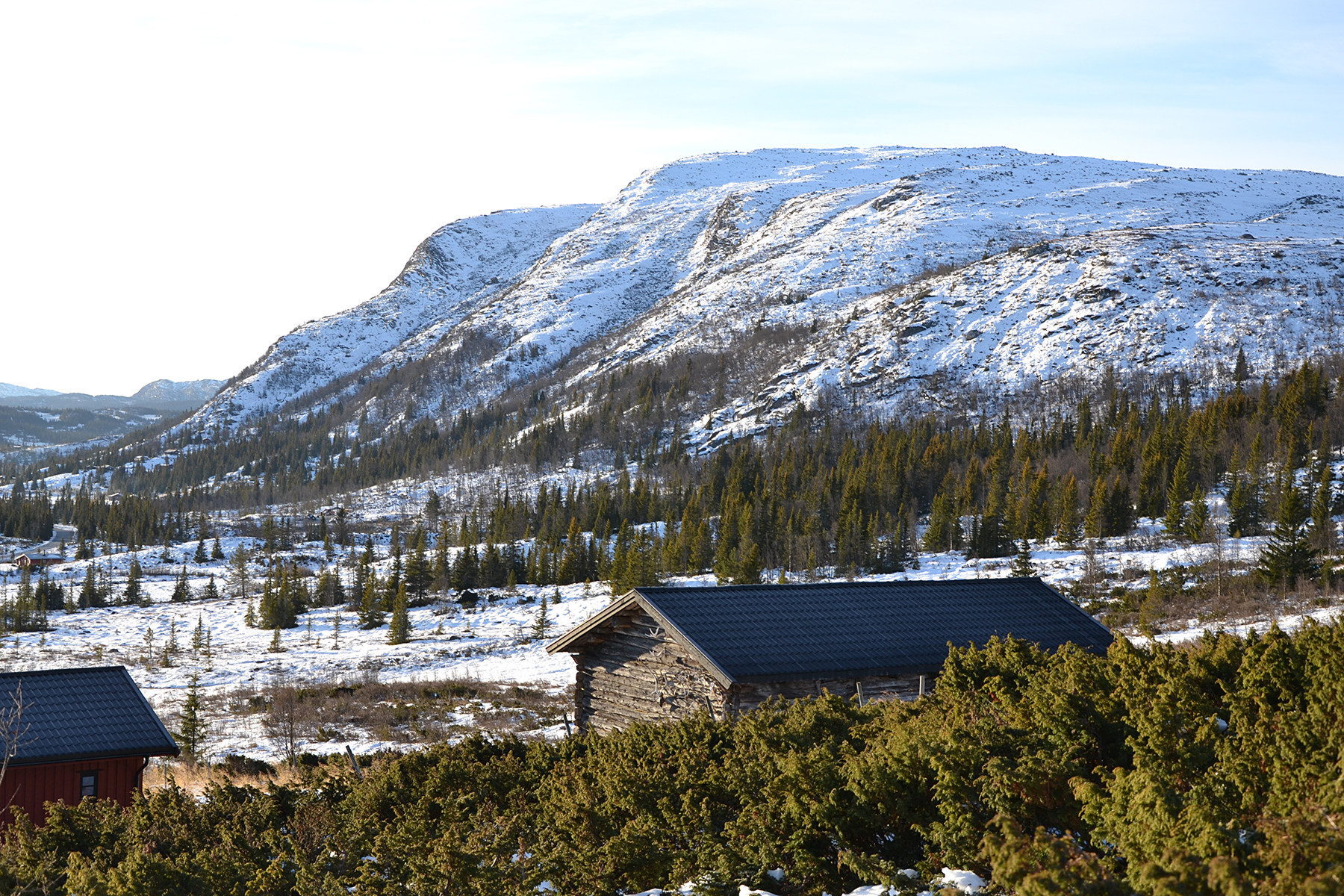
A
look to the south from
Flatvollen, towards
Bergshammaren 1263m. |
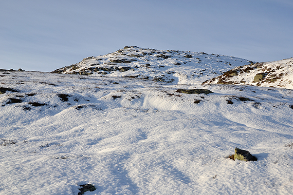
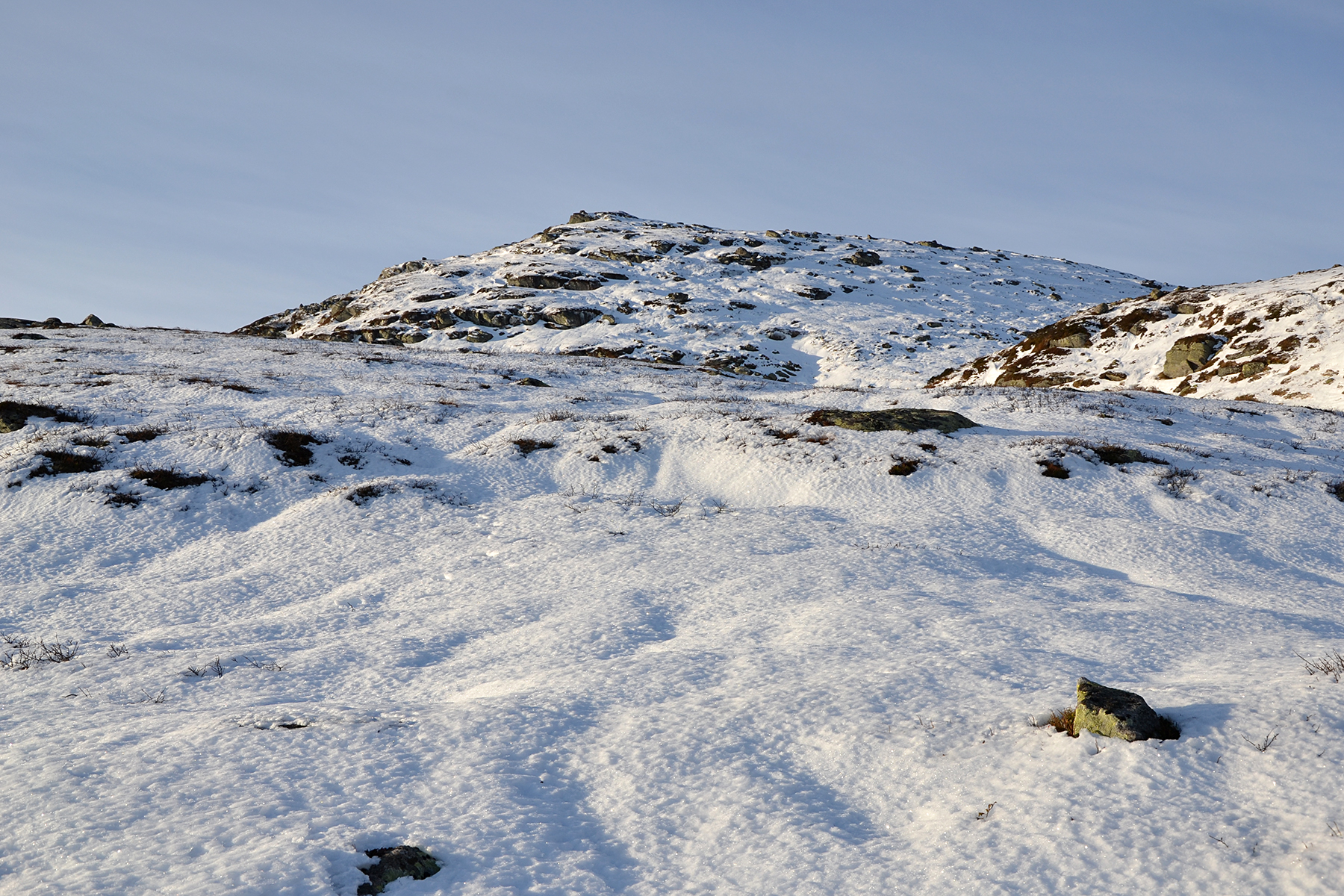
Half an hour later, now on 1100m. Fairly easy walk the last
140 altitude
meters to the summit. |
|
|

|
|
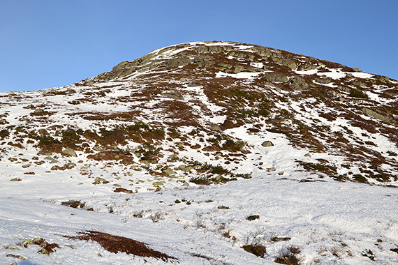
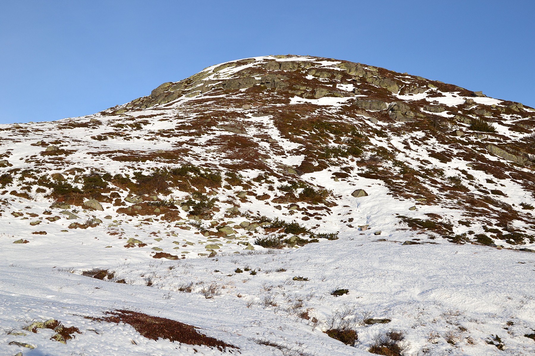
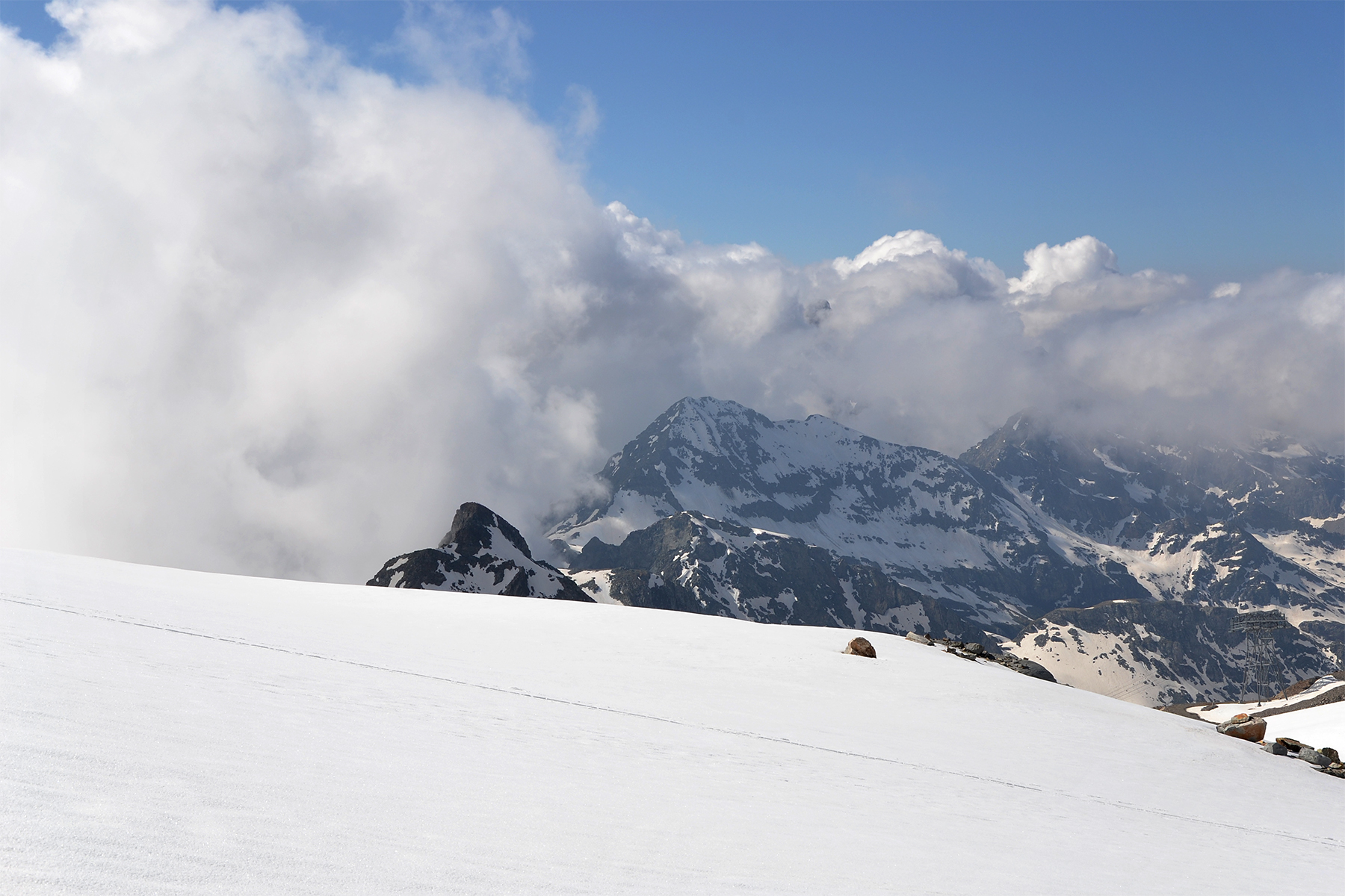
In the
other direction is Skurvenatten, 1168m. |
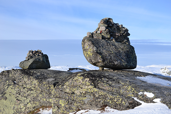
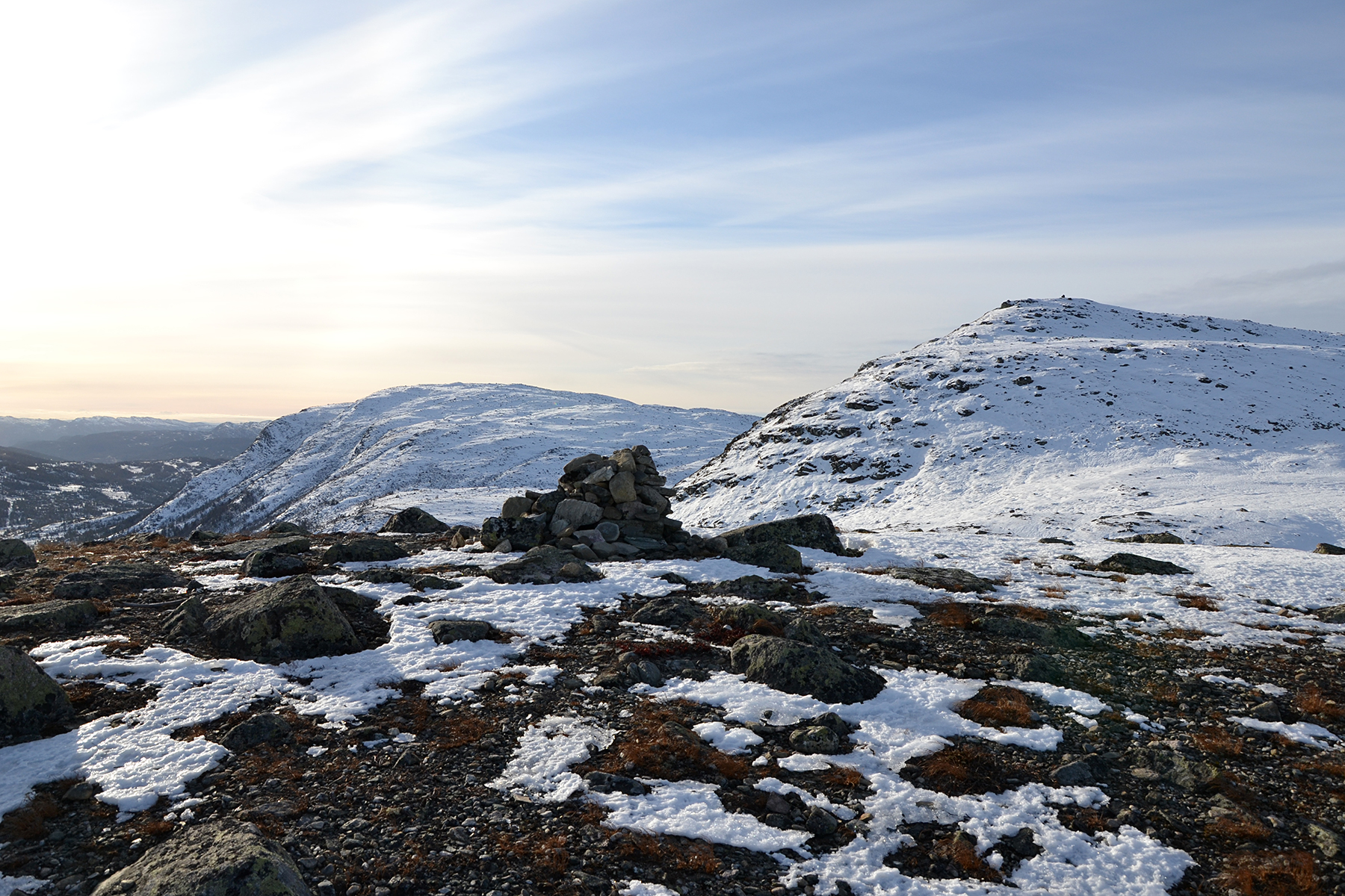
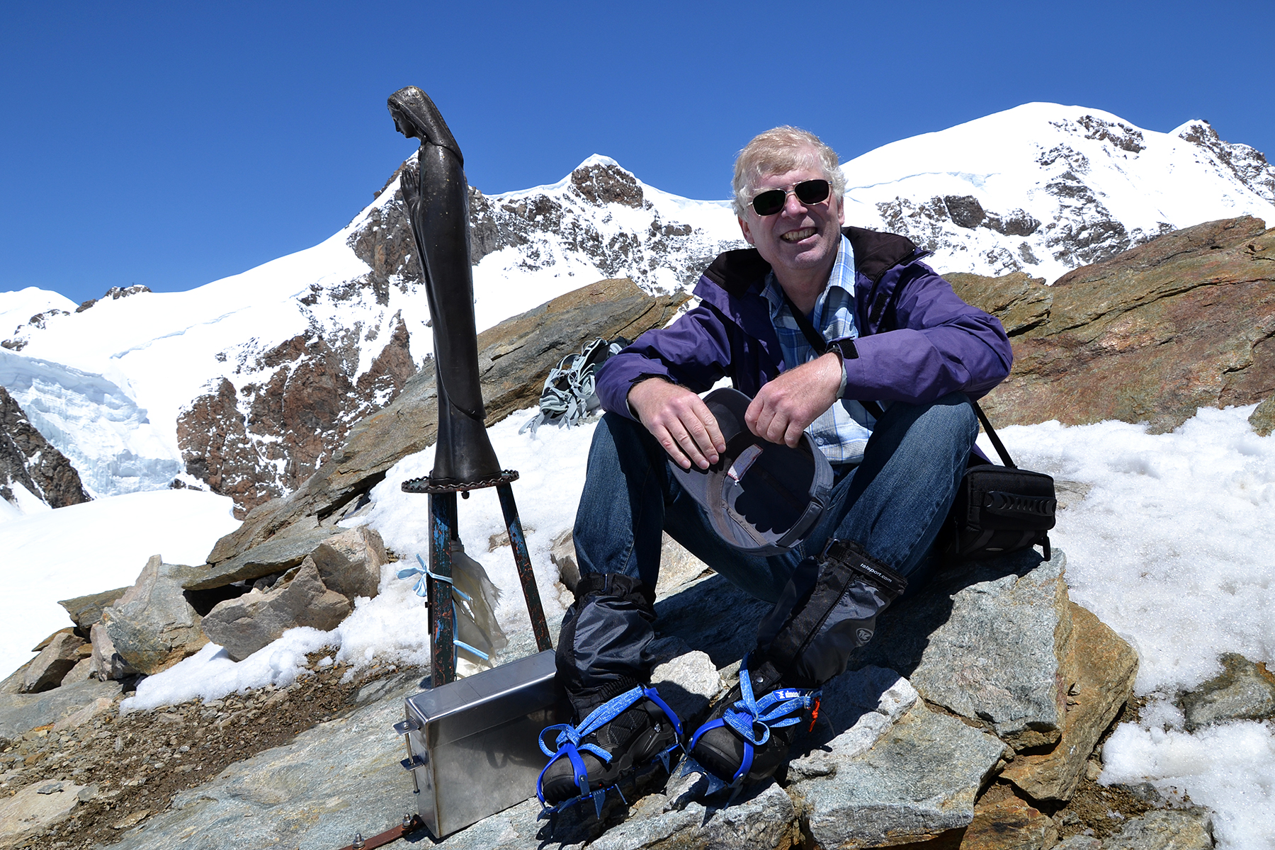
The
summit cairn of Flentpiken, reached after a little more
than one hour
from the car. Interesting that the summit
cairn is placed on top of
what seems to be a megalith. |
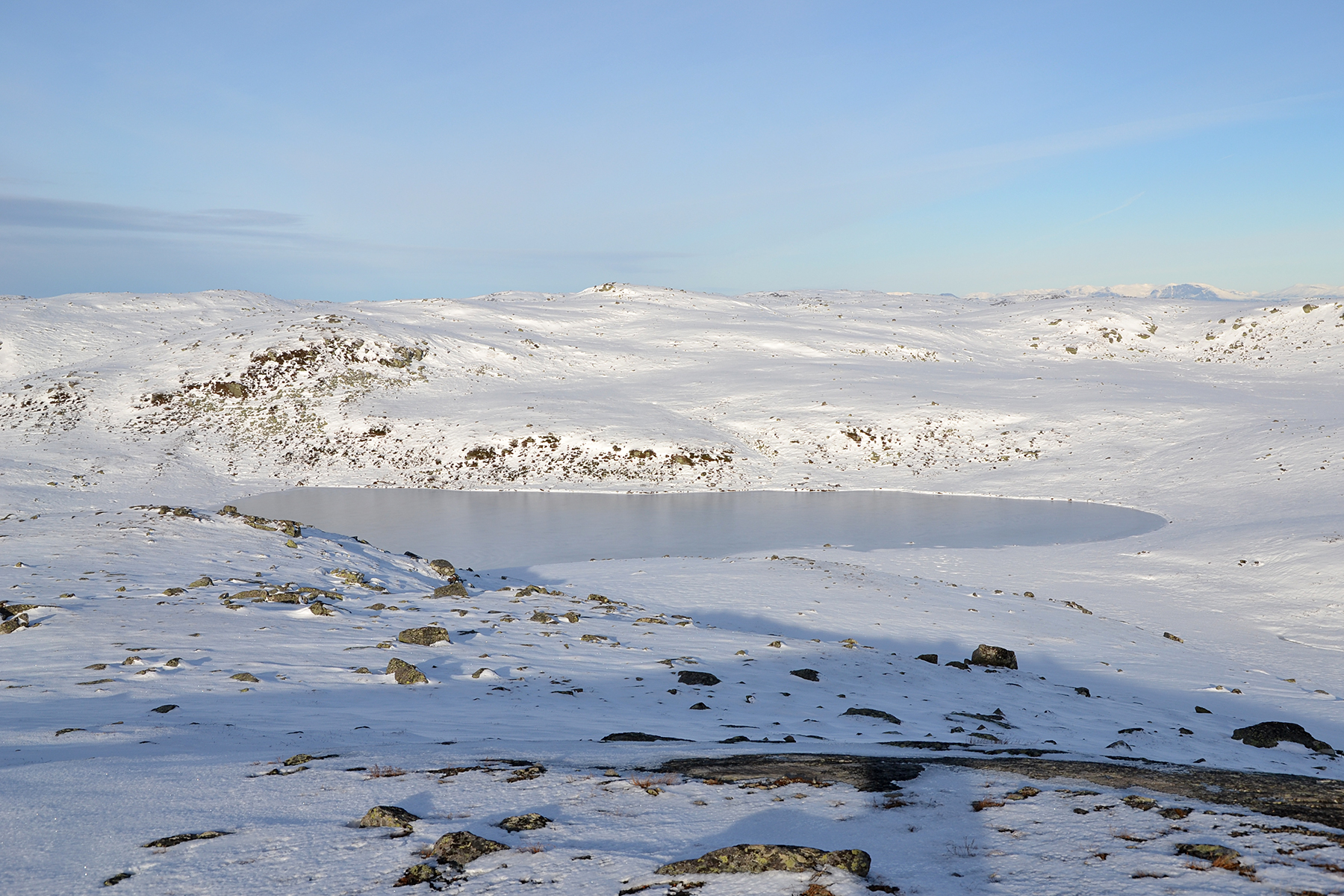
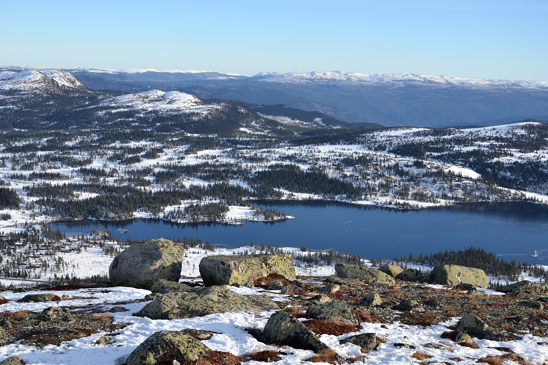
North from the summit is the lake
Piktjernet, on a high
mountain area. |
 |

|
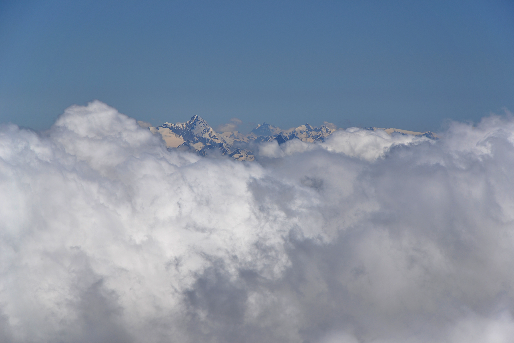
|
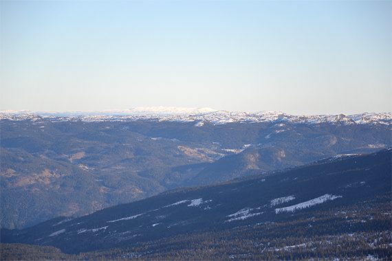
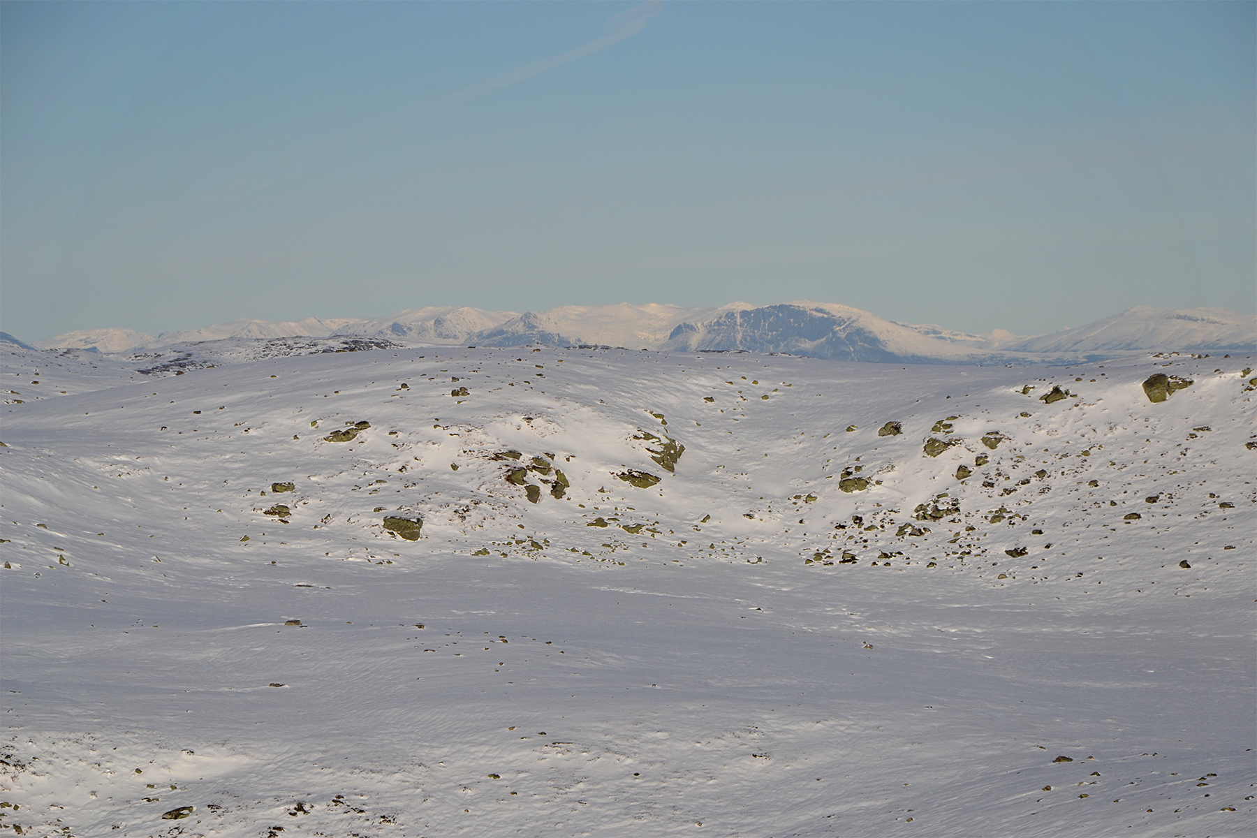
Zooming in the peaks of Rondane, to the
northeast, about
200km away. |
Straight to the north, the peaks around
Hemsedal. Skogshorn 1728m, with its steep south wall a bit to the right. |
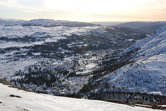
To
the south, the area around Haglebu. |

|

|

|
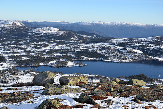
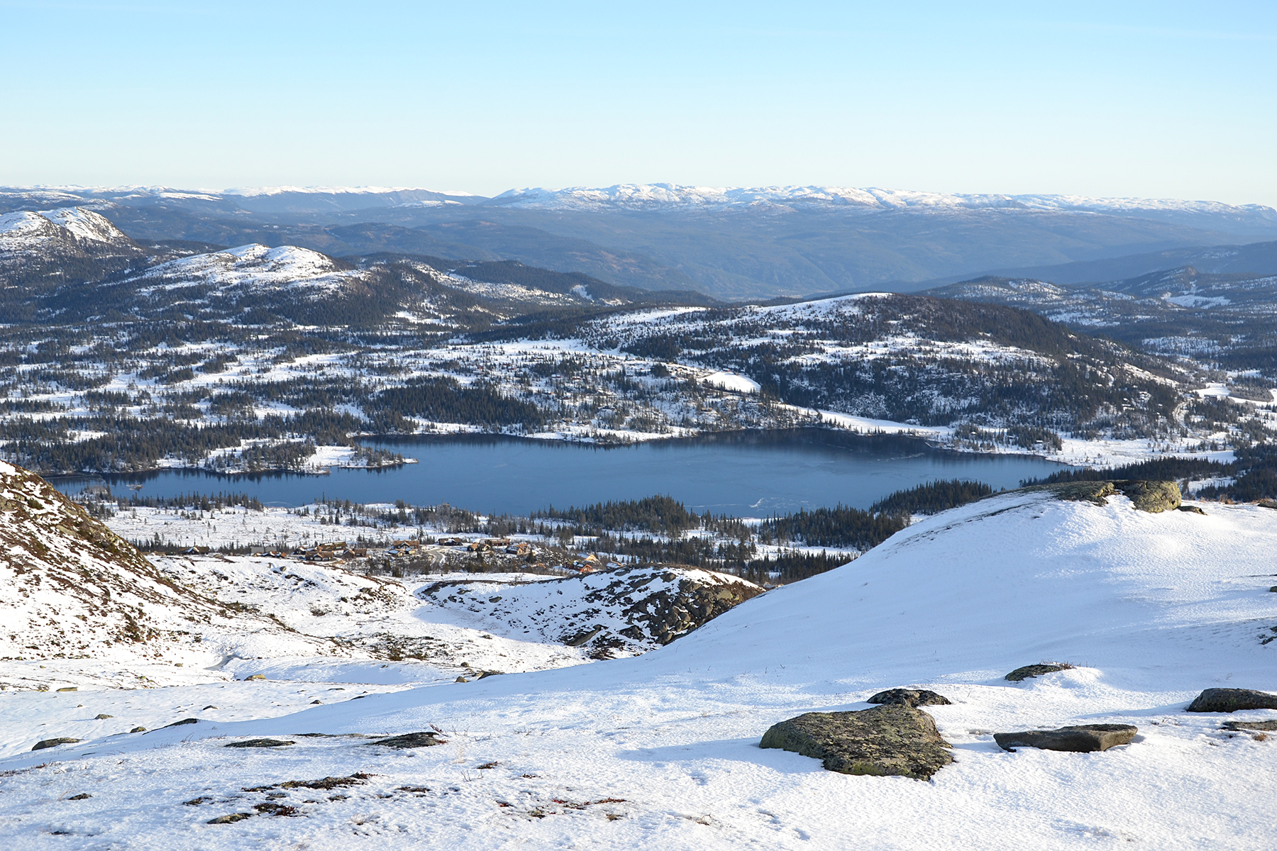
| The lake Helgesetvatnet to the east. |
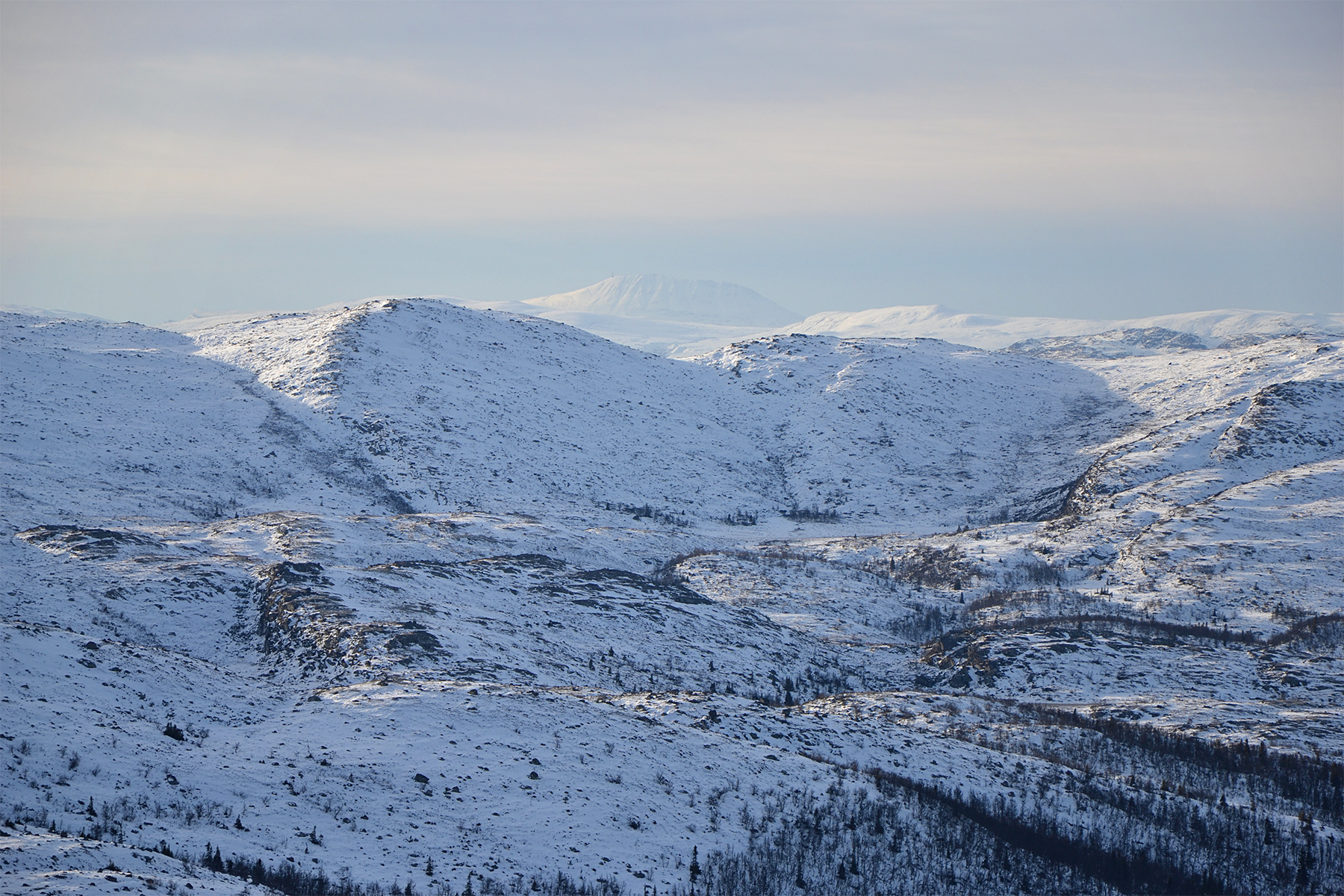
Another zoom, towards Gausta peak 1883m,
80km to the southwest. |
On
the way down I take the time to climb Skurvenatten as
well, since it's
there. Here is Flentpiken to the right, and
Bergshammaren to the left.
All the activities of the
weekend in one picture. |
|
|
|
Another
picture of Helgesetvatnet, now from the summit of
Skurvenatten. |
|
|


