|

|
|
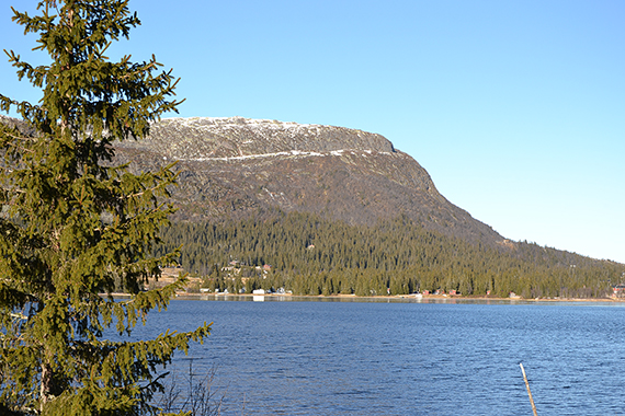
As
you approach Haglebu from the south two peaks are
prominent; Haglebunatten and Bergshammaren. Here is
Bergshammaren with the village Haglebu in the foreground.
|
It's
easiest to park just north of Haglebu and climb the mountain from the
north. Here, on 880m altitude the winter
has begun. It's snow and below
zero. I pass through the
forest to the right in the picture. |
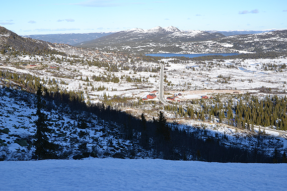
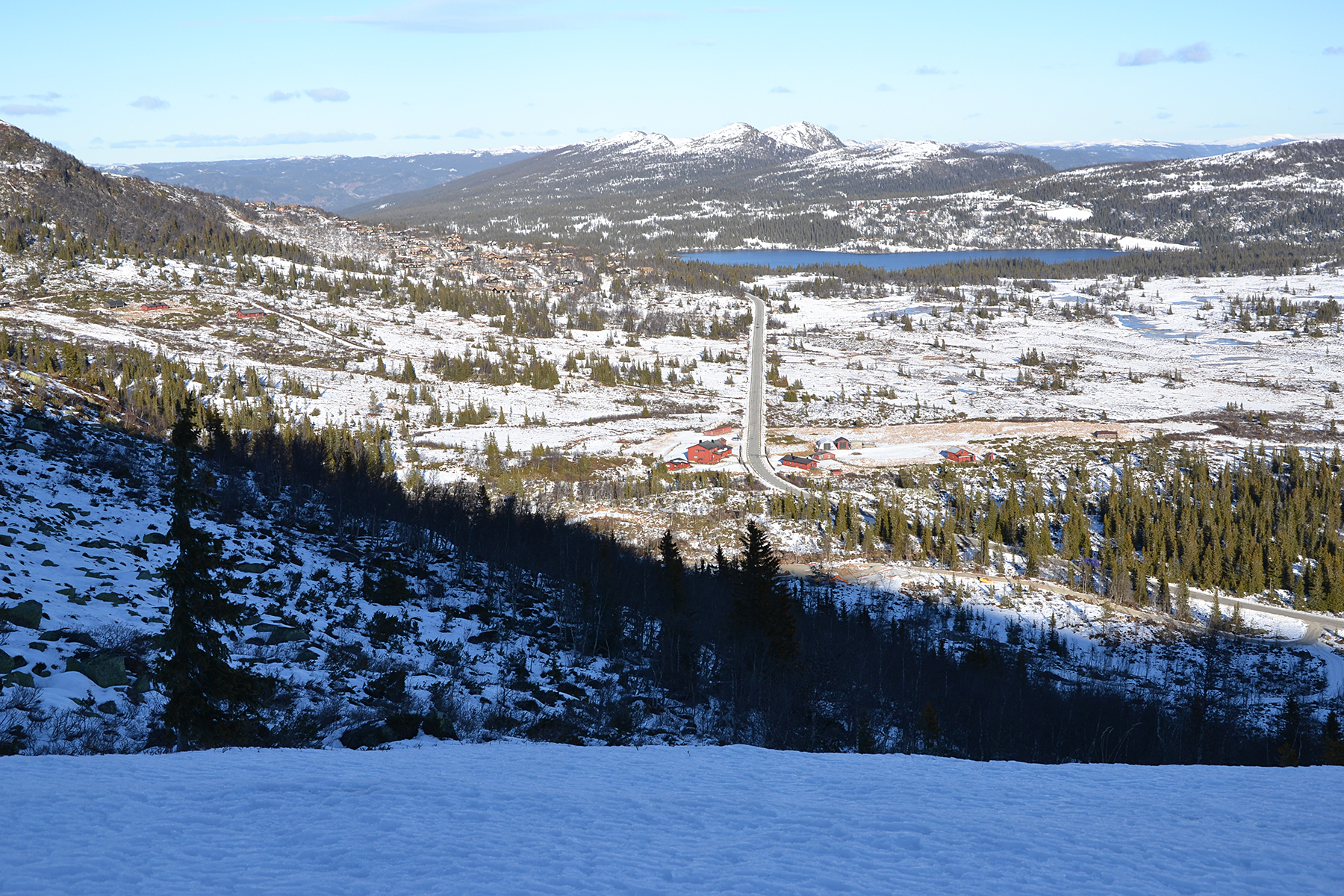
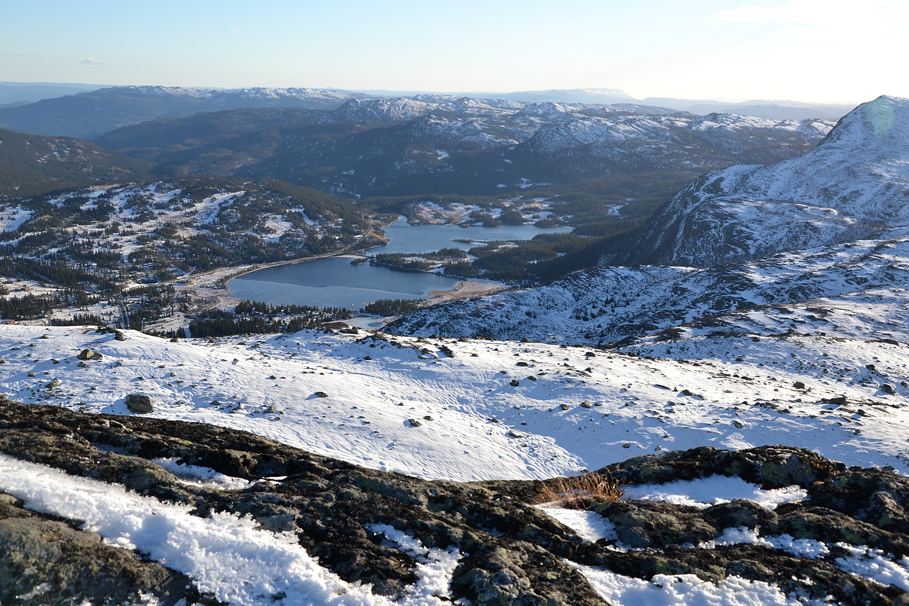
I've just reached the tree
limit, on a little more than 1000m altitude. The road north towards Hallingdal in
the middle of the picture. The lake
Helgesetvatnet can
be seen behind. It' a bit difficult to
walk, the snow crust is hard but not hard enough.
|
|
|

|
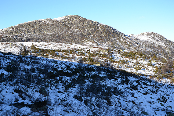
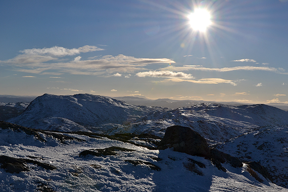
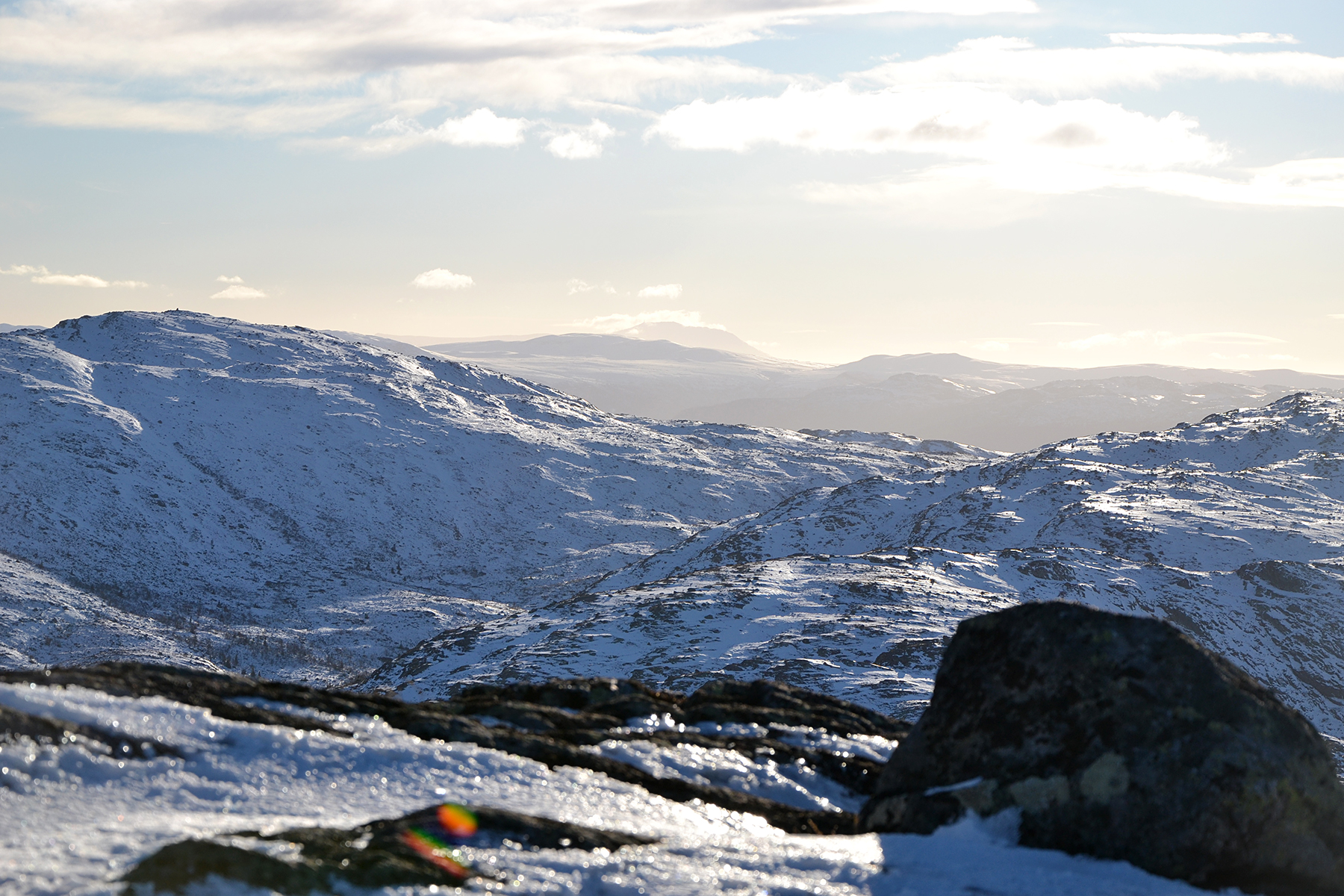
Straight
to the north is Flentpiken 1242m.
|
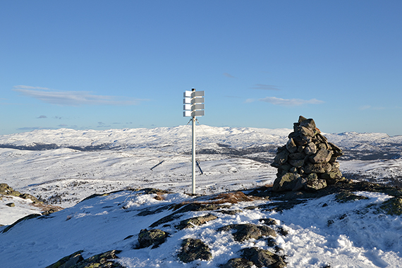
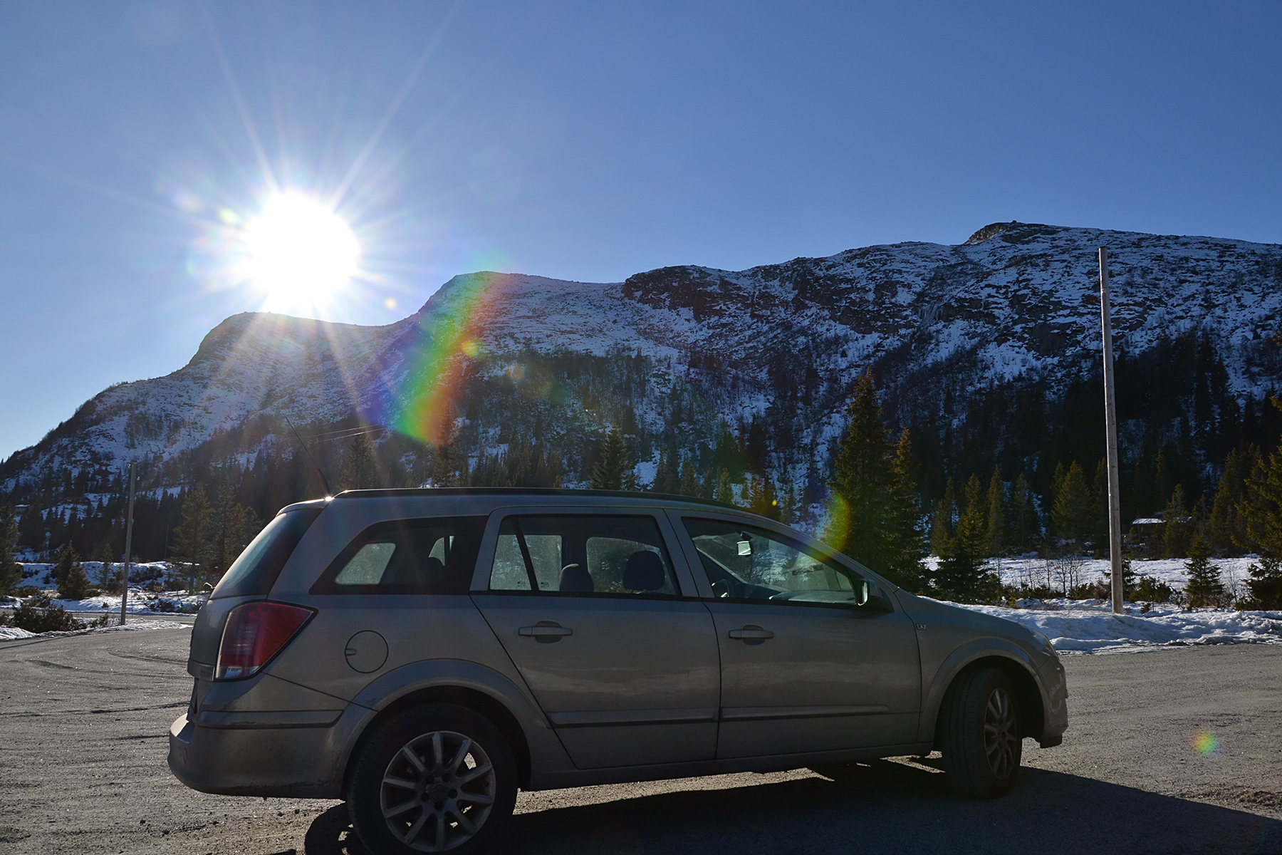
The
final climb to the summit is flatter and easier to walk,
since the snow
is harder here. A snowcovered Norefjell
can be seen in the background. |
Gausta
peak, 1882m, rises far in the background. Closer and to the left is
Haglebunatten 1268m.
|
|
|

|
|
The
same area, now outzoomed. |
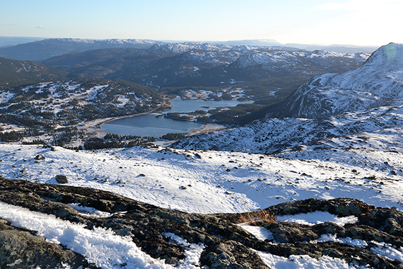
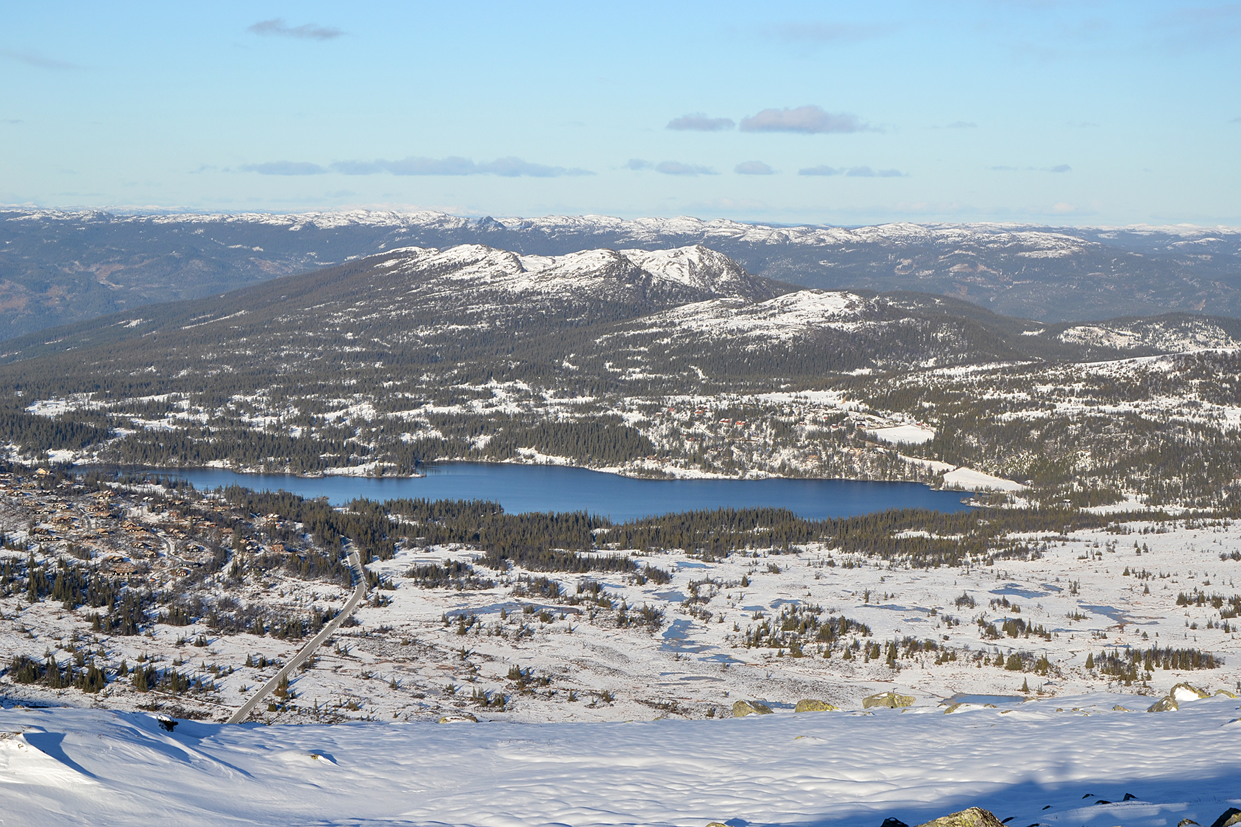
To the south is Haglebu, where I have rented
a small cabin
for the night.
|
Another picture to the north, with the lake
Helgesetvatnet closest.
|


