|

|
|
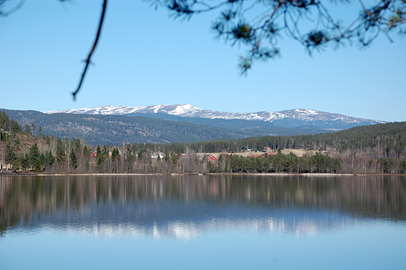
As
you approach the mountain range through Sigdal in
Norway, Norefjell is
one of the first "real fjells" you will see.
Actually, Norefjell is an
extended high alpine area, with
several independant peaks. Here is just a part of this area.
|
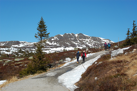
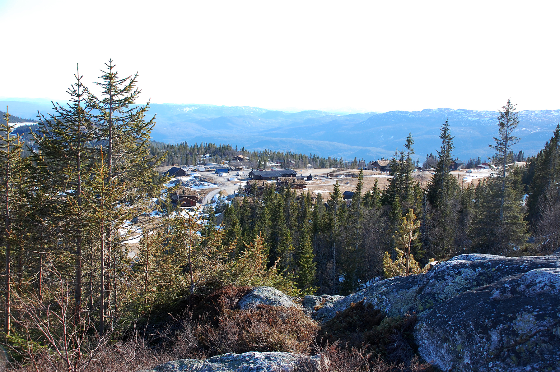
I use the road from Eggedal up
to Tempelseter at 900m altitude, where the car is parked. (payroad,
40Nkr) |
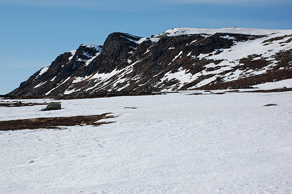
When
you start walking, the peak of Ranten soon turns up ahead. On this
beautiful day (0°C and sunshine) I'm not alone on the mountain.
|
|
|
|
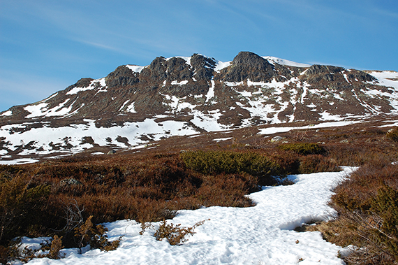
The
higher up, the more snow. This is what I came for.
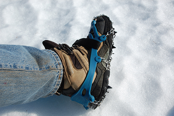
Now I can test my
new "light crampons" and se what they
can do. |
These
"microspikes" are sold as studs, but to me light crampons is a better
description. Broad spikes dig down in snow and ice. This snow is very
hard, and it's quite slippery
to walk without spikes. But with them life gets a
lot easier. |
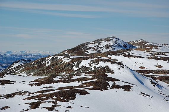
At
about 1200m altitude the long, flatter part of the trail ends. One
trail leads towards Høgevarde, and on the other side you can access the
slopes to Ranten.
|
|
|
|
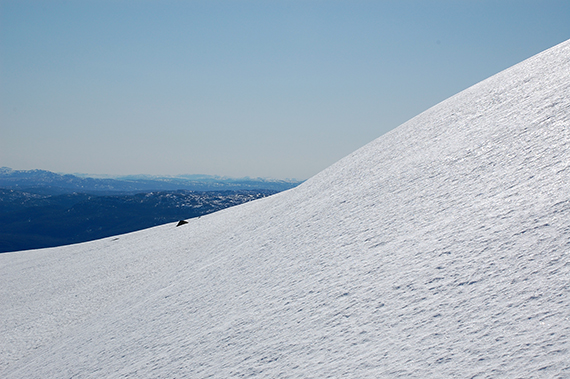
To some extent I can choose the
angle of the
slope, and I
don't pick the easiest part. In this particular section I have
no problems at all going up.
The snow is stone hard,
ordenary boots don't even leave a footprint. In fact,
without
my spikes I wouldn't have climbed this mountain at all. |
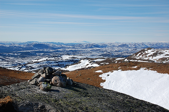
At
the peak I am all alone. Maybe not so strange
considering... The view
is spectacular, Hallingskarvet is
visible far in the northwest. This
picture is taken from the
south viewpoint at 1400m.
|
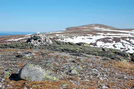
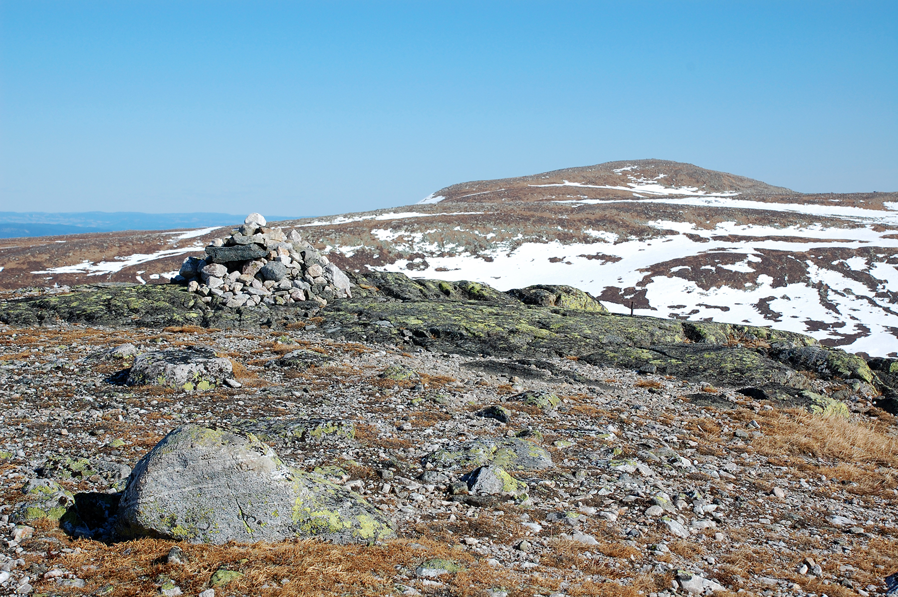
Høgevarde,
1459m, 3km to the southeast, here seen from the high point, 1419m.
|
|

|
|
2
km up north is Gråfjell, 1466m, the highest peak at
Norefjell. I was
planning to climb that one as well, but
because of time constraints
(The road tunnel under the
Olso fjord closes at 21.00 hours) I have to
skip that. |
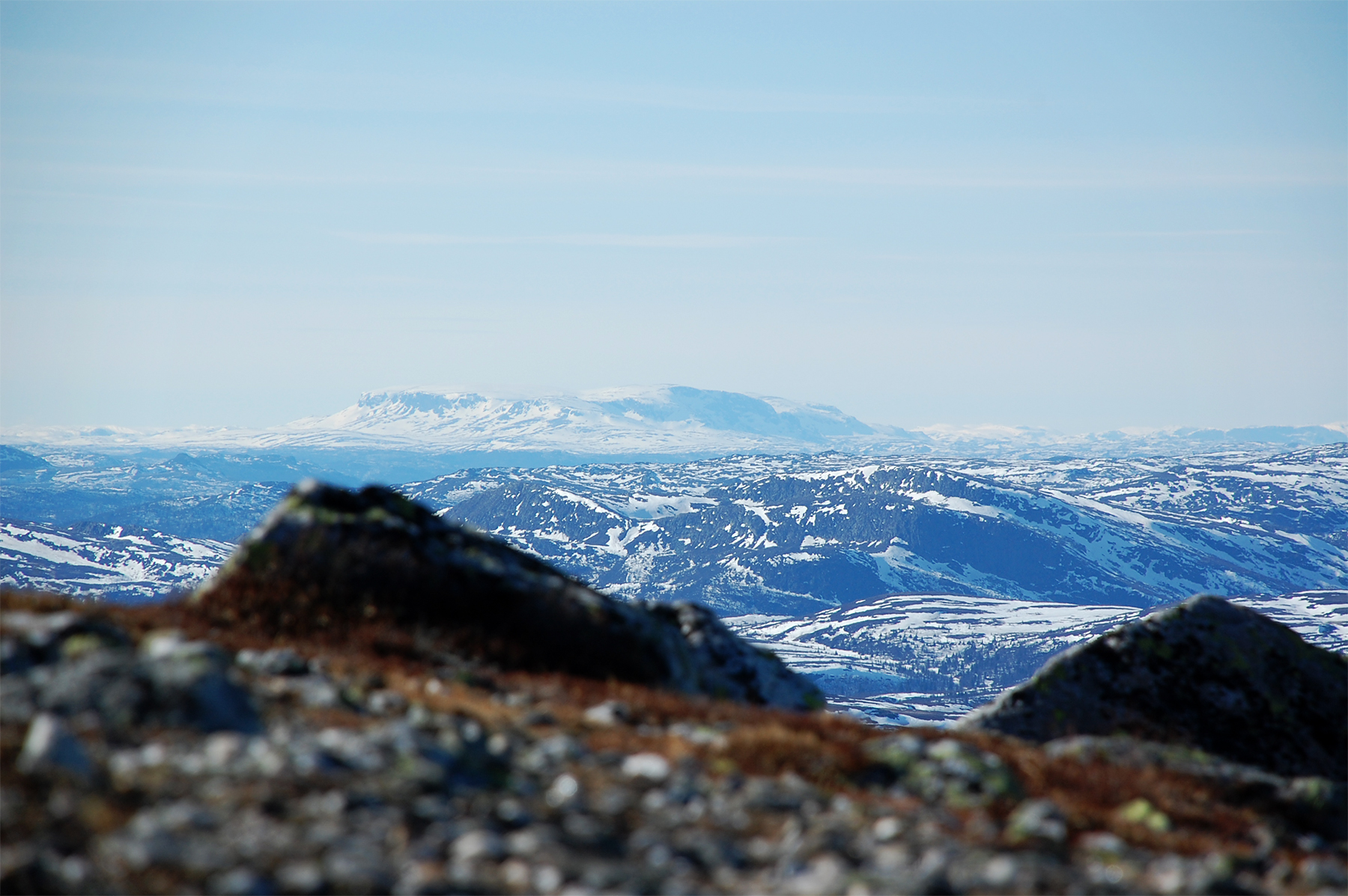
Zooming
in Hallingskarvet, about 100km away.
The air is extremely clear this day, about the best I have ever seen.
|
|


