|

|
|
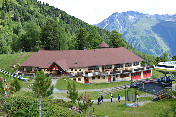
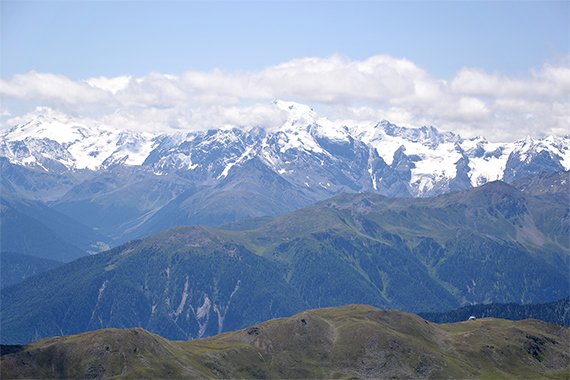
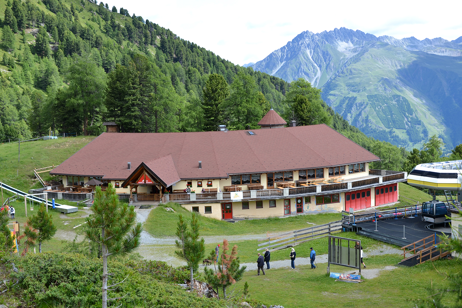
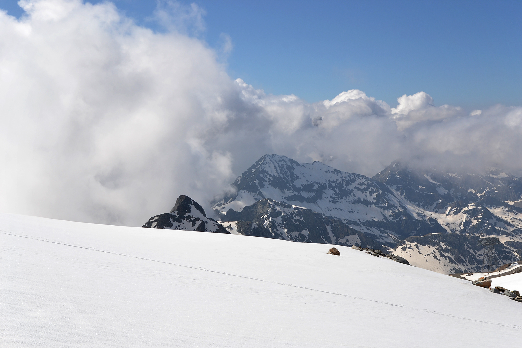
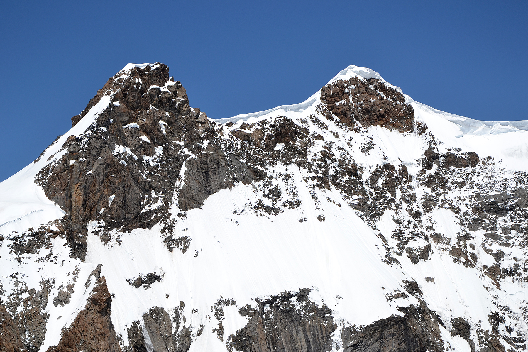
First
I use the cableway in St. Valentin, Italy, to Haideralm
at 2155m. The
weather in Austria is a little unstable today.
But here, on the Italian side
maybe 15-20 km to the south,
it's perfect. Klopaierspitze 2919m is in the backgrond.
|
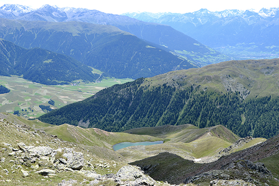
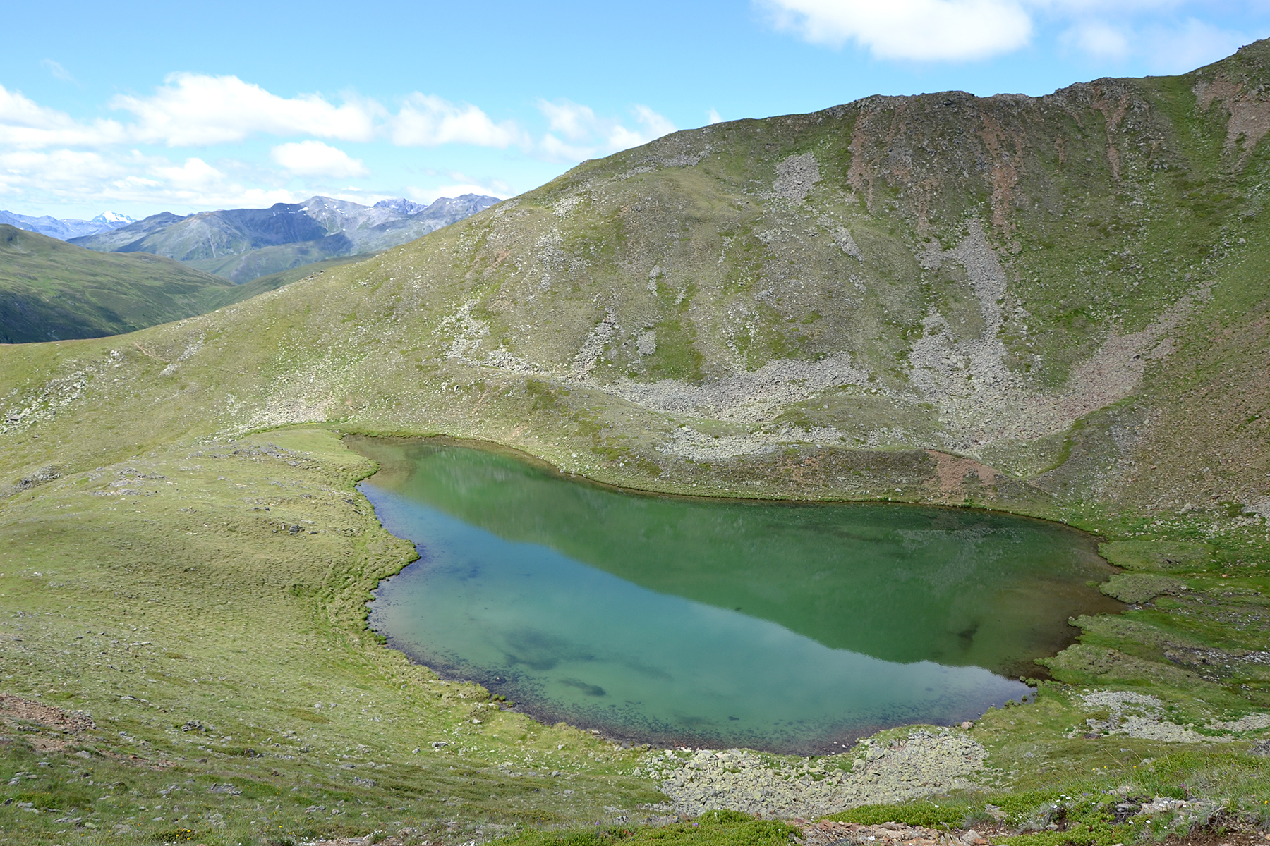
After a
little more than half an hour I reach Grünsee, placed as a small jewel
at 2441m. |
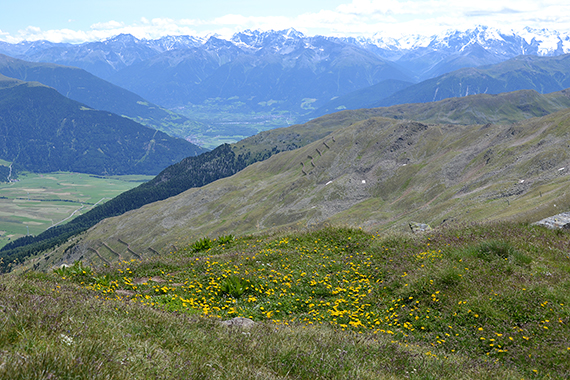
A
bit higher, now at 2635m, is the viewpoint Seeköpfl. In the background
Vertainspitze 3545m can be seen among others. That's my new target in
two days. Here it is a bit to the right. Below is the valley Vinchgau
(Val
Venosta) with all it's apple cultivations.
|

|

|
|
|
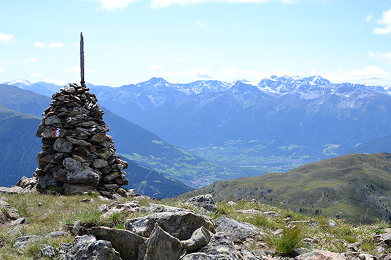
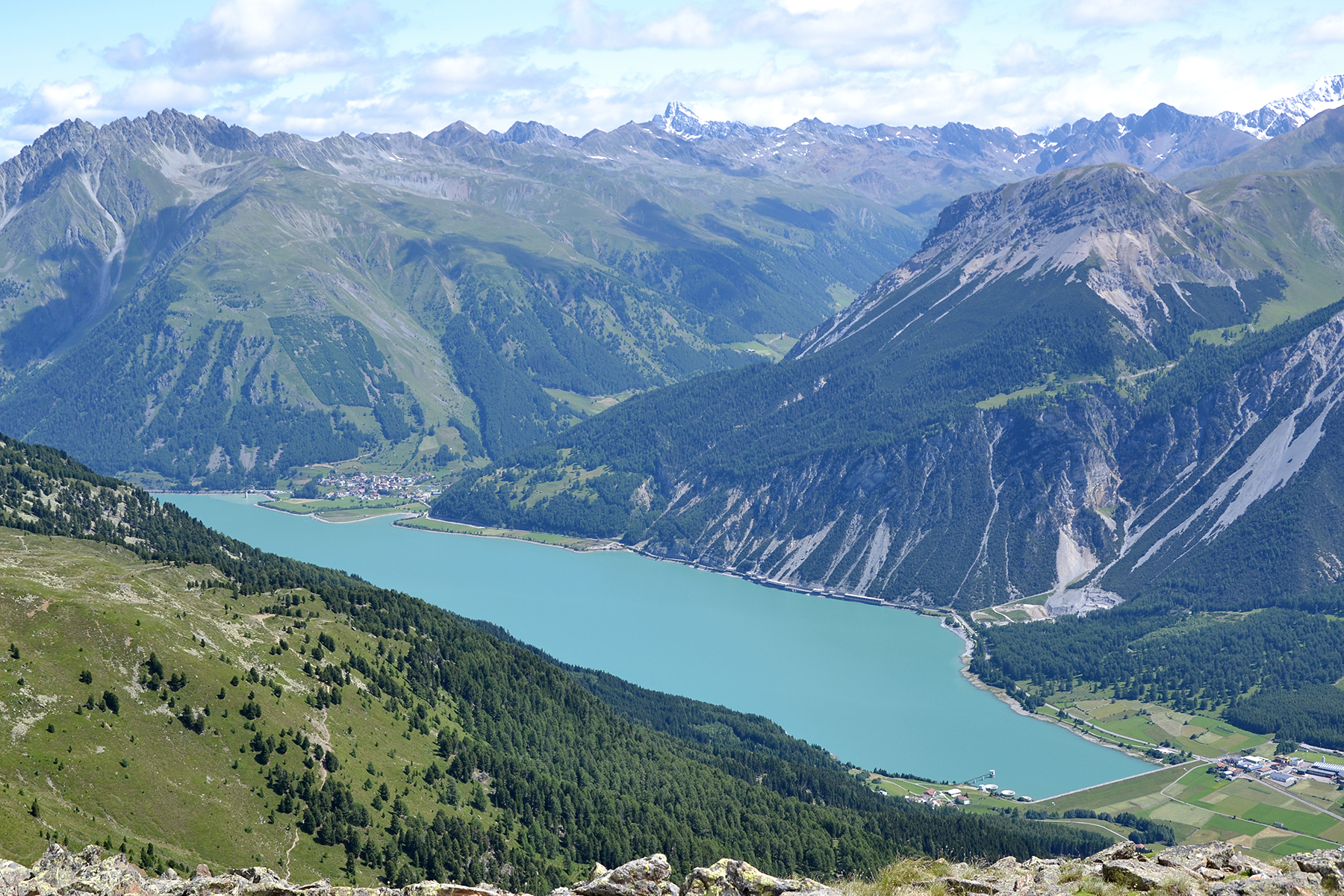
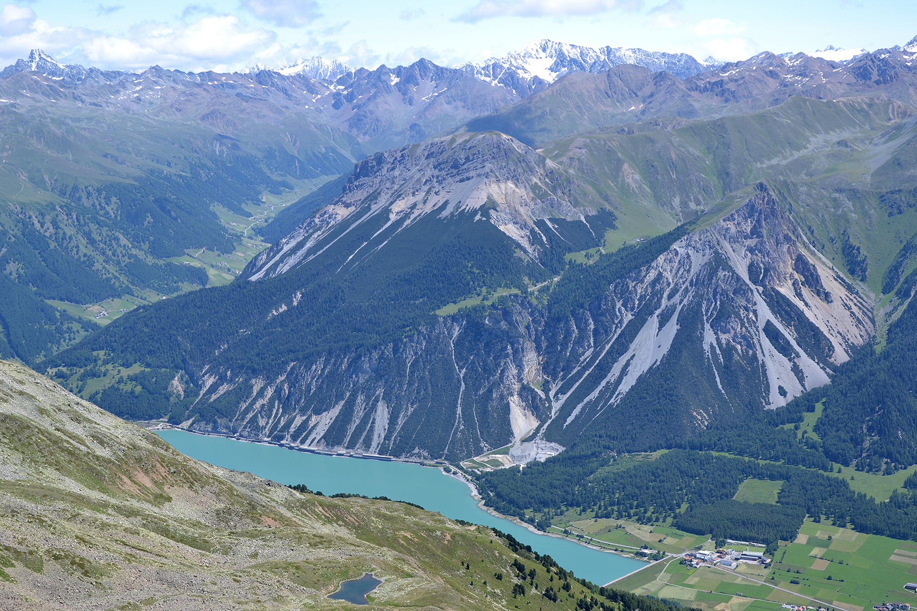
To the
notheast is Reschensee. |
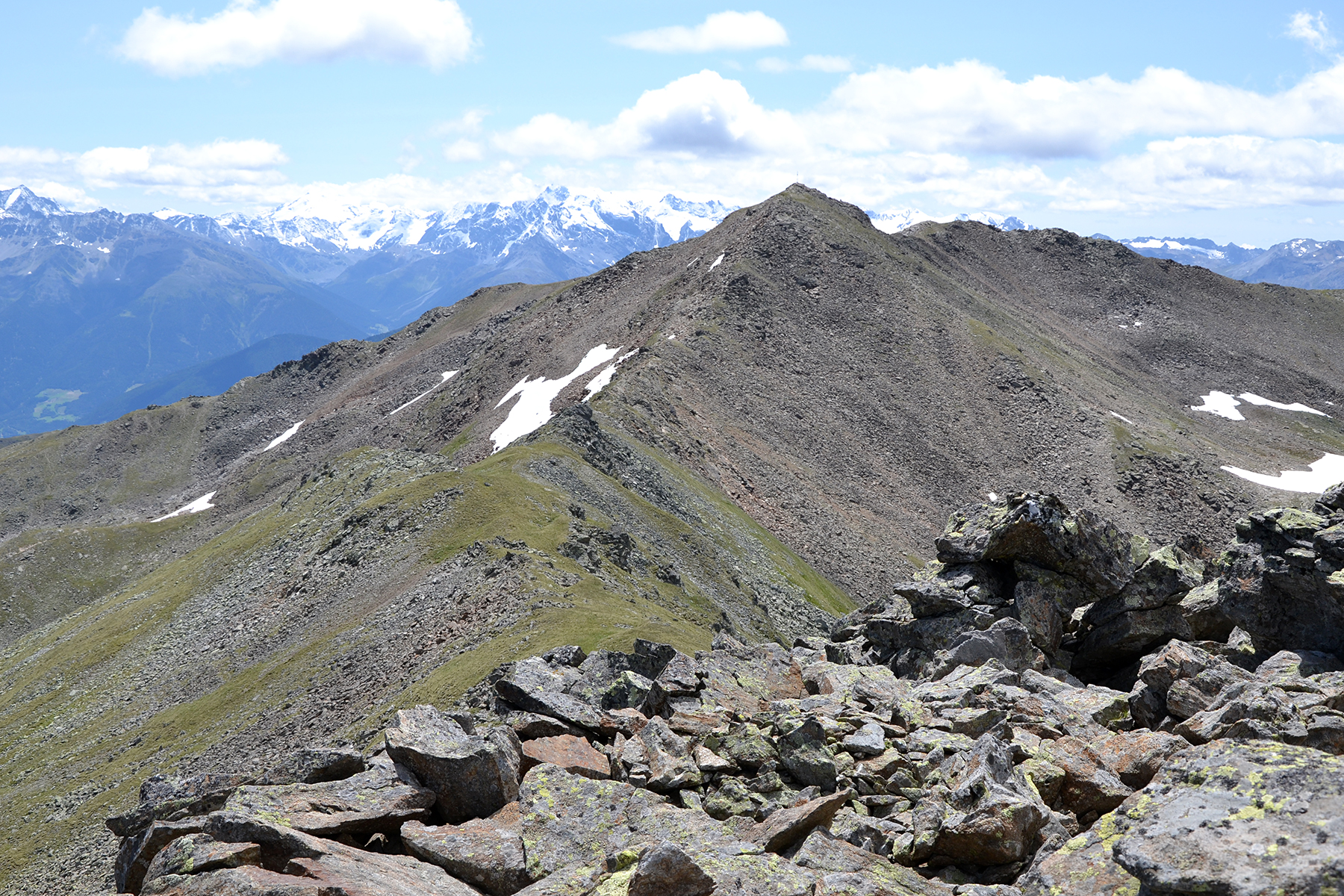
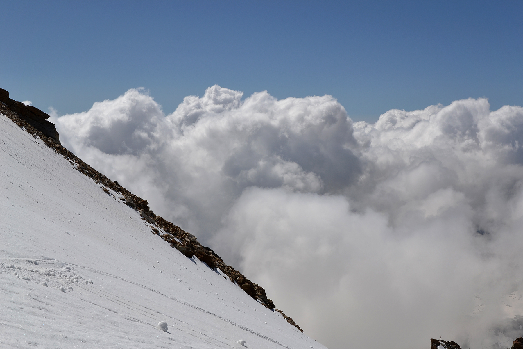
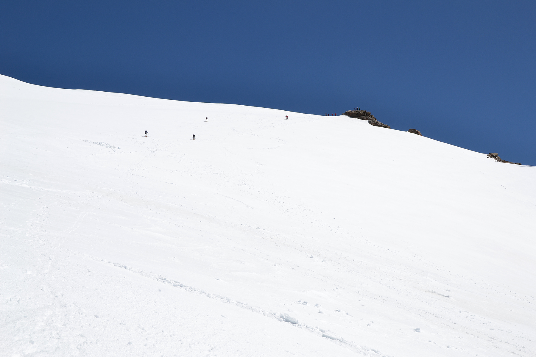
The
last section up to Seebodenspitze. The trail is
tecnically quite
simple, and therefore attracts some tourists. |
A
look back towards Grünsee, now far down there.
|

|
|

|
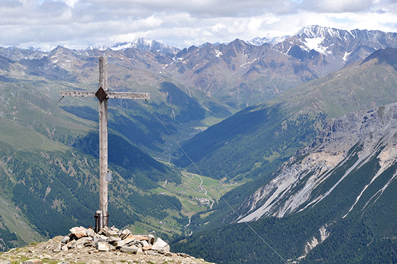
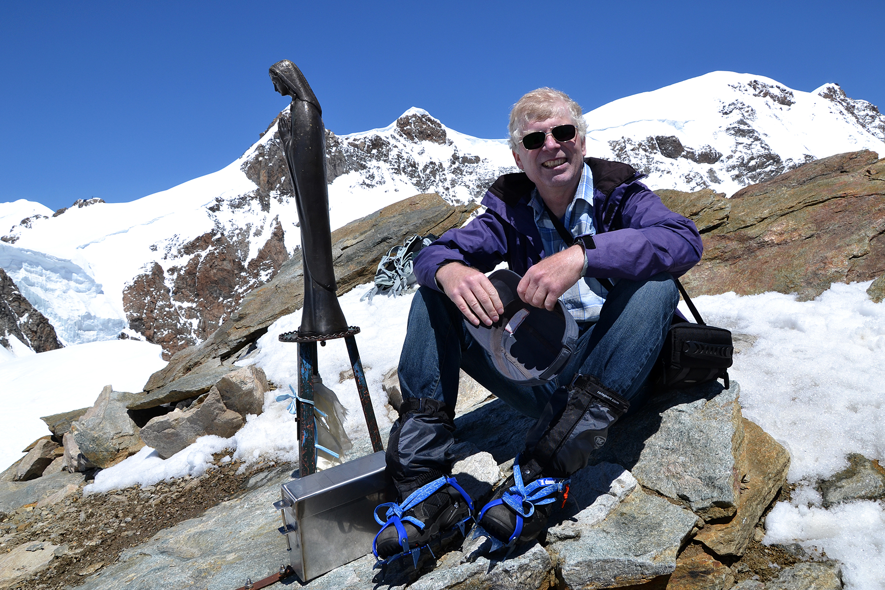
The summit of Seebodenspitze is
decorated
with a fairly
large metal cross. |
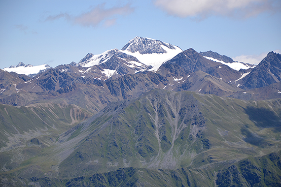
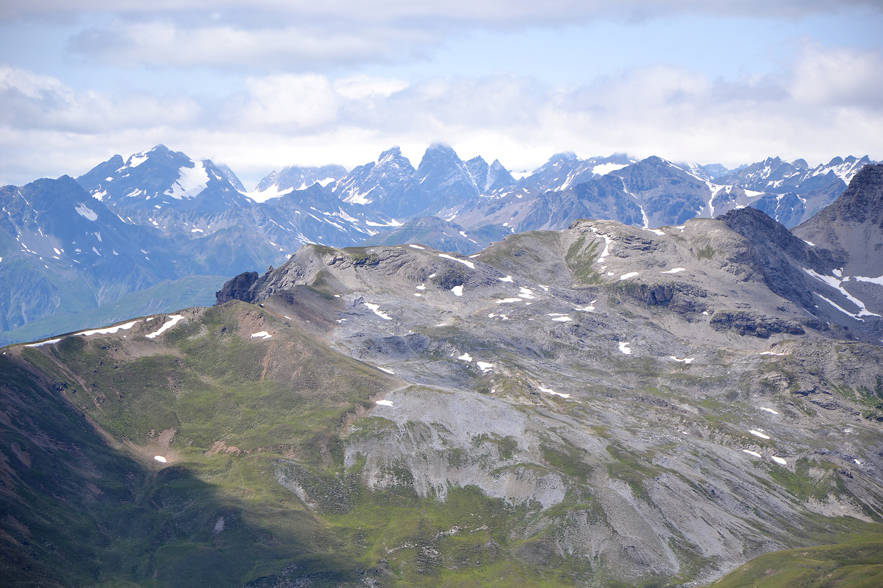
Zooming in Weisskügel 3739m, in Ötztaler
alpen |
The
view is magnificent. Here's yet another picture towards Reschensee,
with Ötztaler alpen in the background.
|
|

|
|
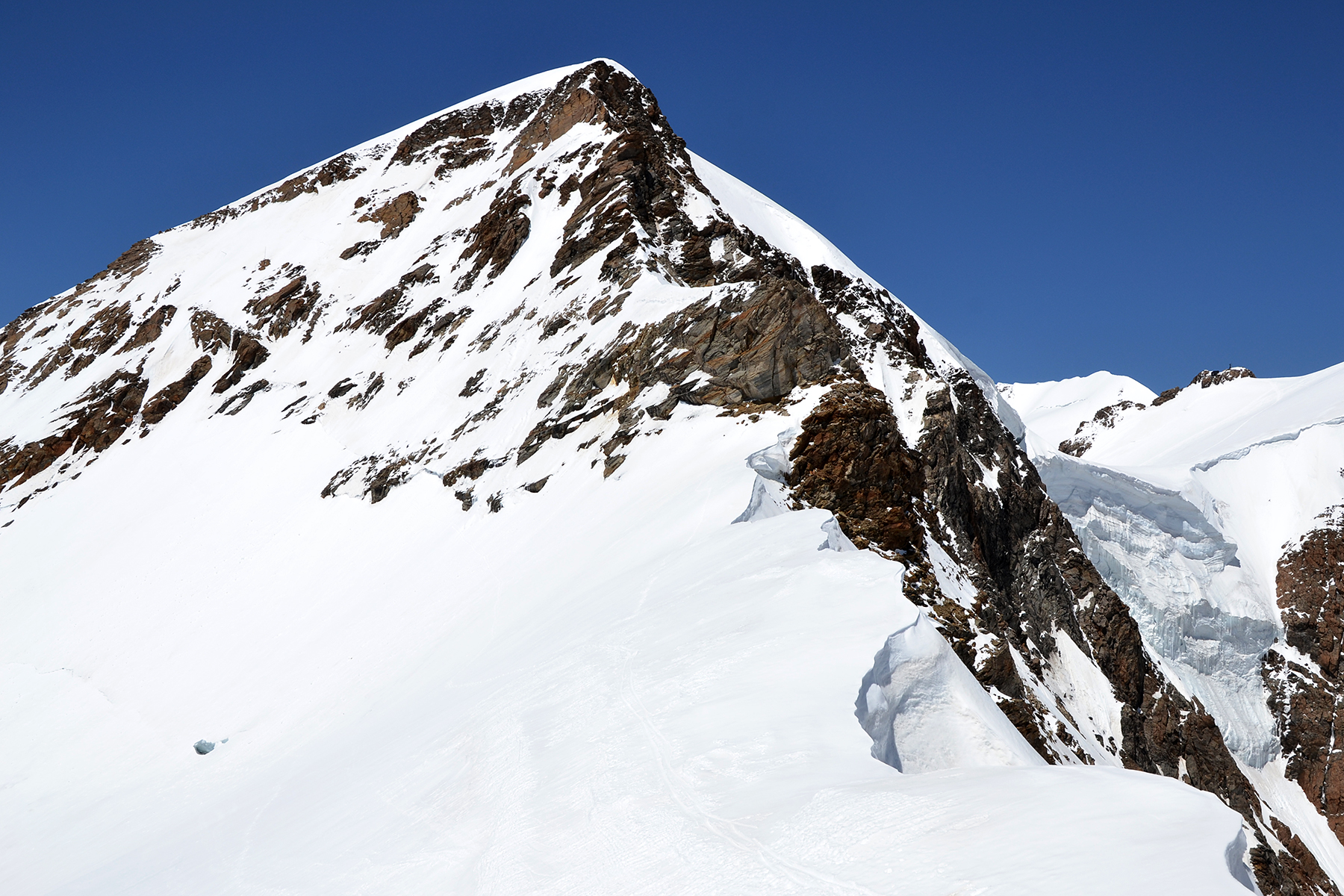
To the south, Ortler 3905m.
Here in the middle of the
picture. |
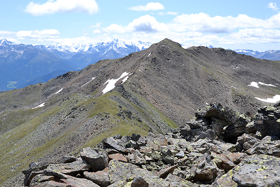
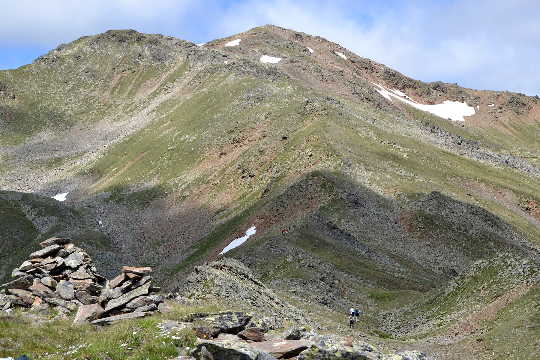
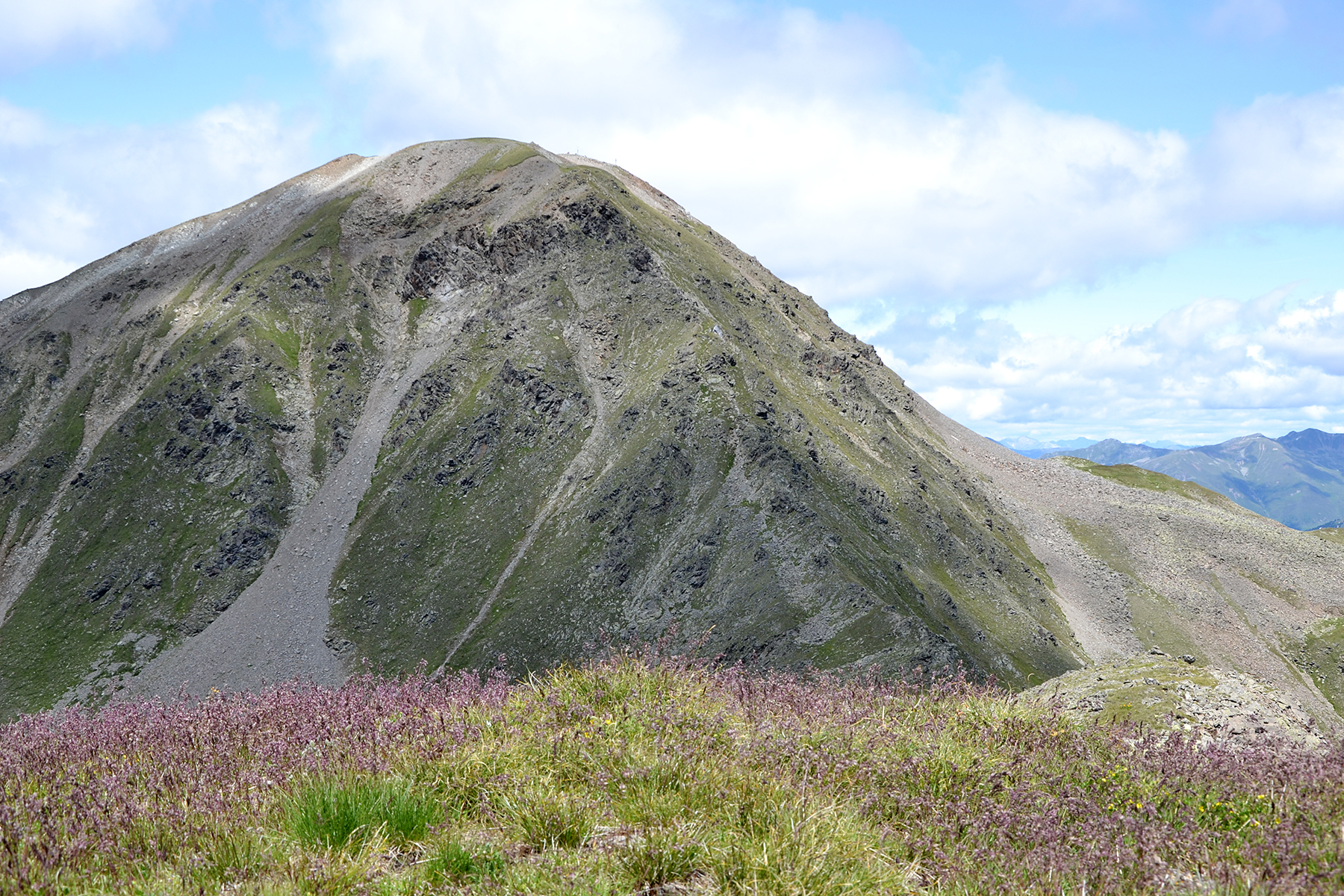
My route now continues to the north. The
ridge passes Nördlische Seebodenspitze, to the left in the picture.
Then
on to Plaschwerdakopf,
with insignificant prominence, and after that steep up to Elferspitze. |
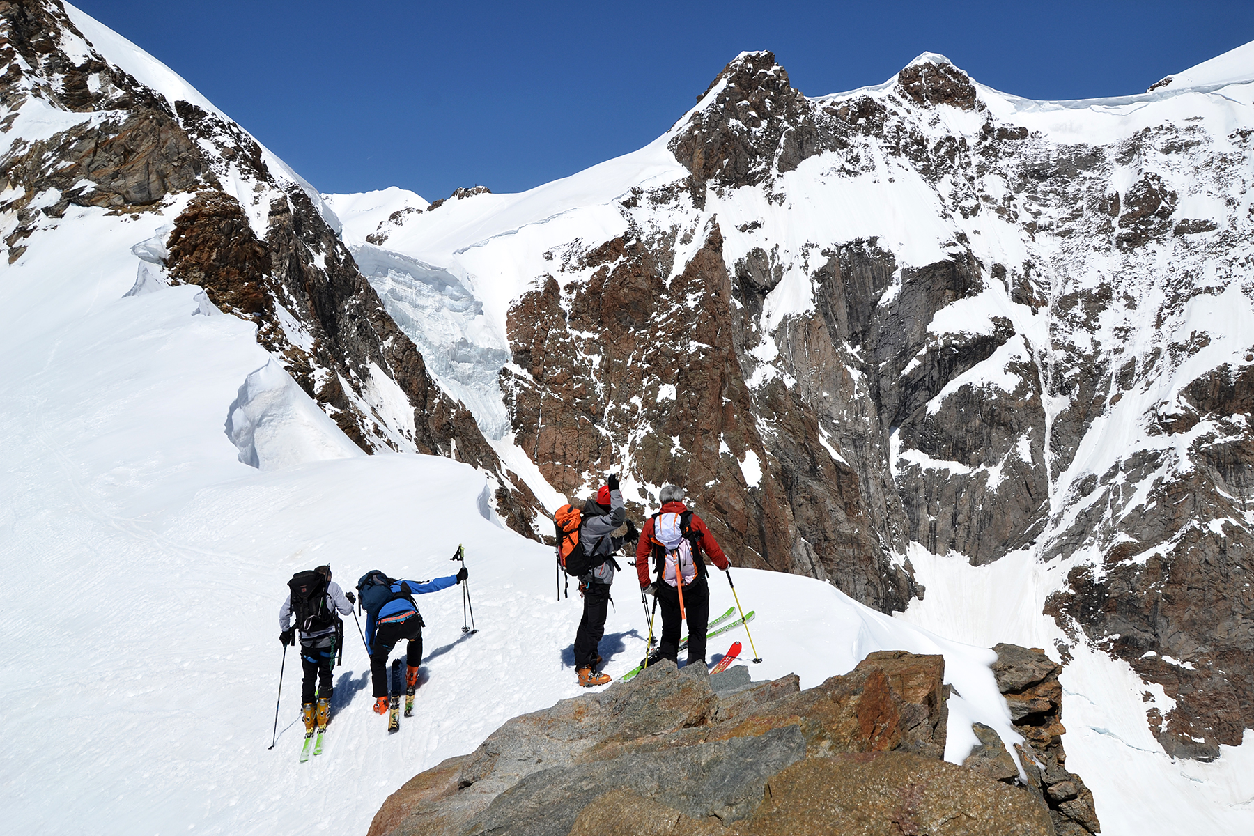
This
route, over the ridge, is a bit more demanding, and not so well marked.
Therefore I get all alone now. But it's a nice trail to walk, where
even the hands are needed at a few times. No great problems though,
possibly a bit slow because more rocks must be crossed. Here's a look
back to Seebodenspitze from Nördlicher Seebodenspitze.
|
|
|
|
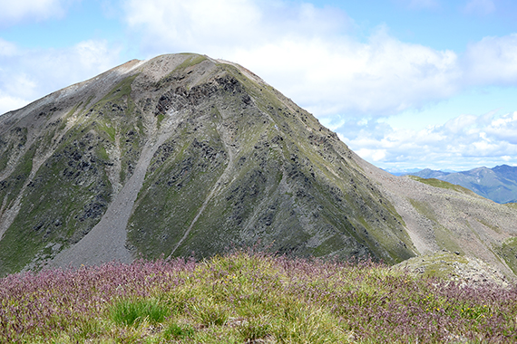
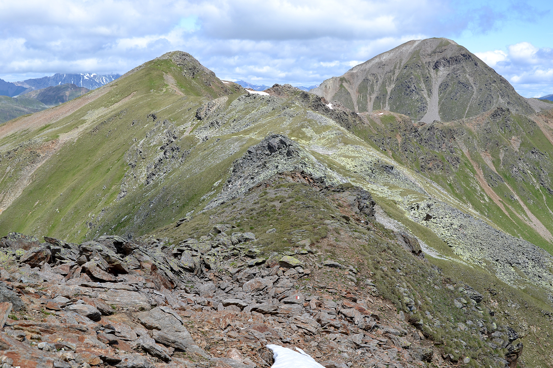
Plaschwerdakopf,
2800m, can't count as a "real" top
(not enough prominence). But it's nice here. |
The
last climb of almost 200 altitude meters to Elferspitze
is fairly
steep, and the hands are needed from time to time. |
The
summit cross at Elferspitze 2926m. Below is Langtauferer tal and behind
Ötztaler alpen.
|

|
|
|
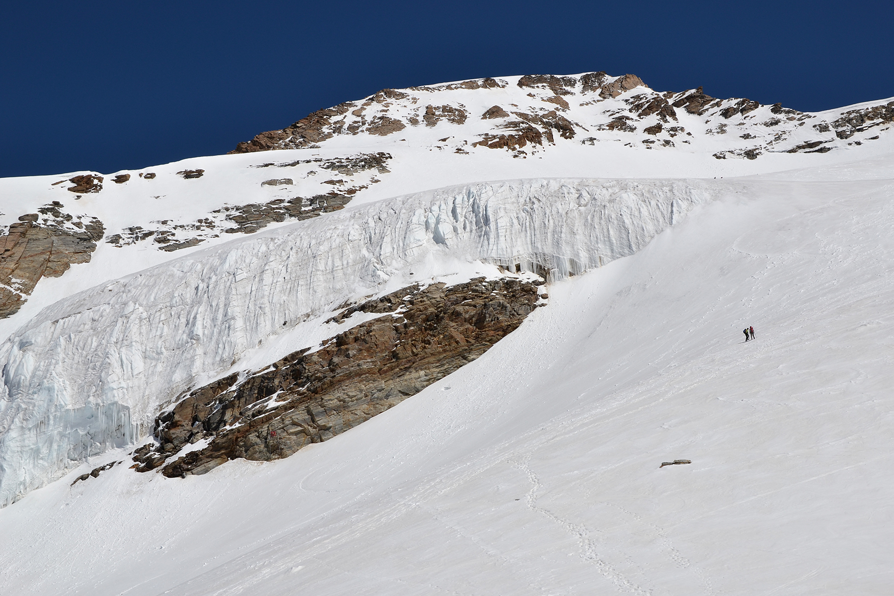
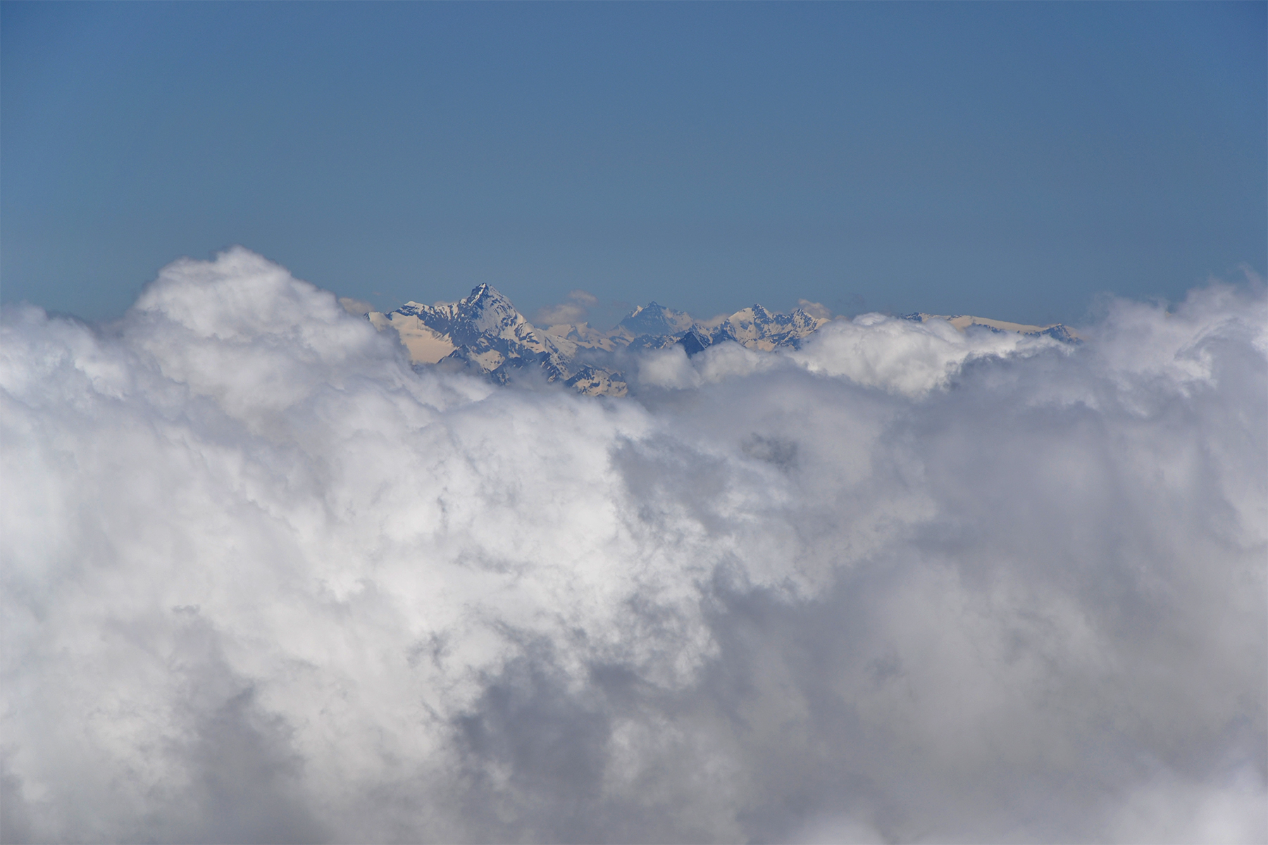
Zooming
in Silvretta to the west in Switzerland. The
descent, almost 800
altitude meters back to Haideralm
takes 1h 5min. The whole hike, 1000
altitude meters and
9,2km takes 5h. Think I'm starting to get in shape
now...
Plenty of time for a cappuccino at Haideralm too. |
|
|


