|
|

|
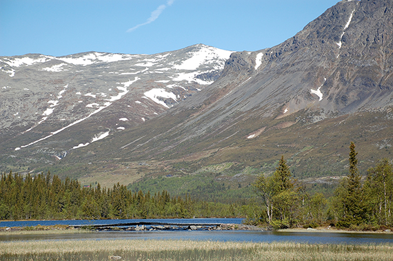
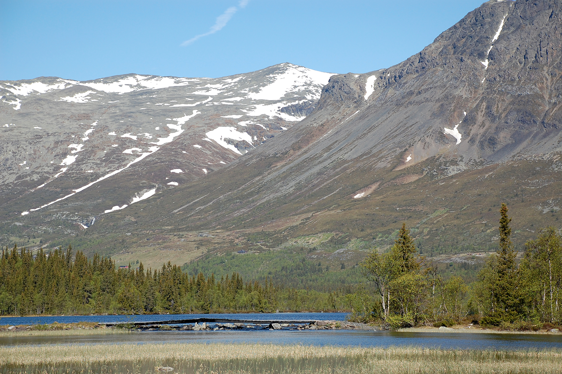
Nibbi,
close to Hemsedal, is in the middle of the picture.
To the right are
the steep cliffs leading up towards
Skogshorn.
|
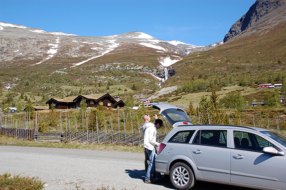
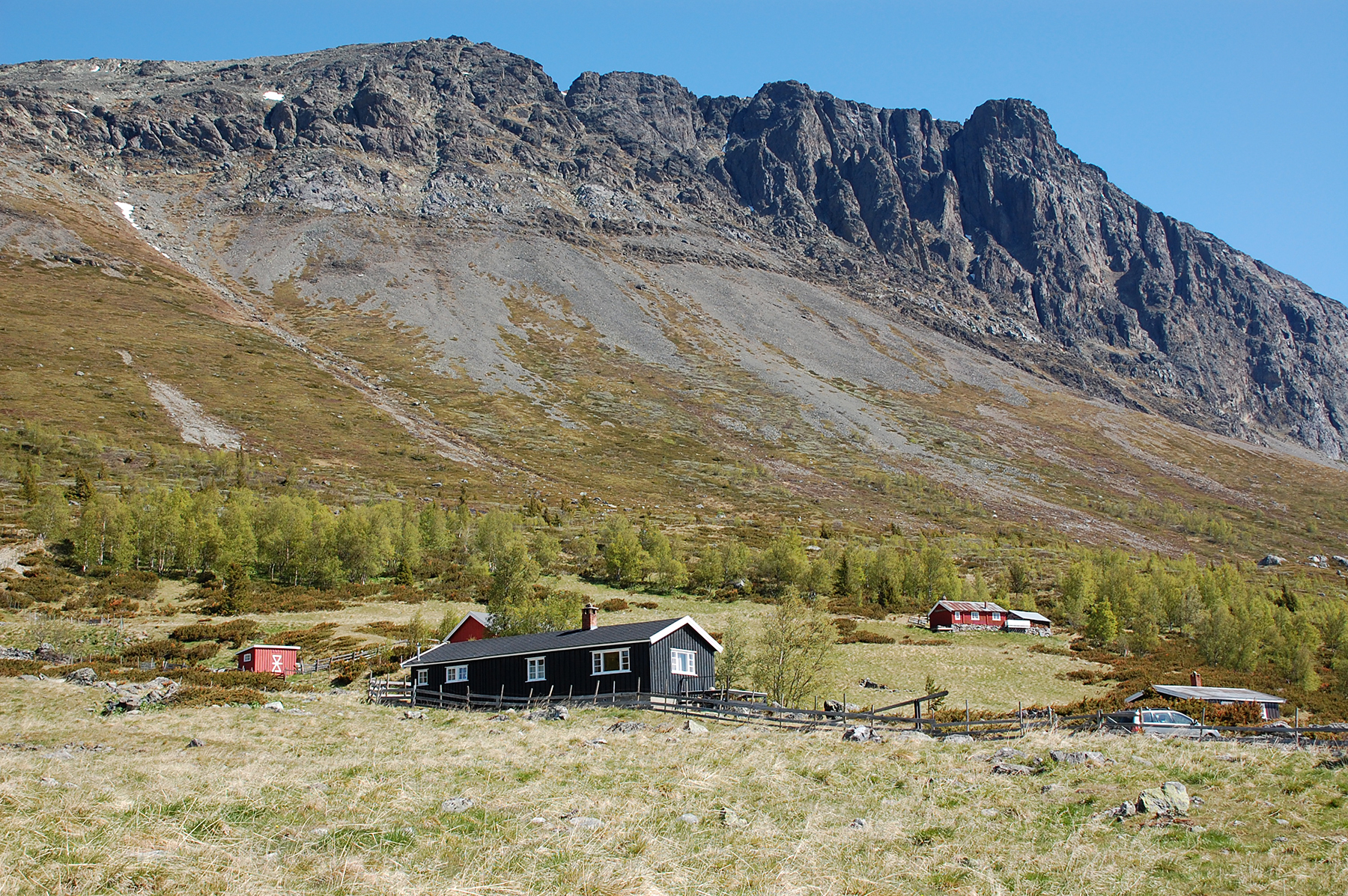
By
the parking place at
Løkjestølane on 940m altitude.
The final part of the road is a payroad.
(40Nkr). |
The
cliffs towards Skogshorn are quite impressive.
|

|

|
|
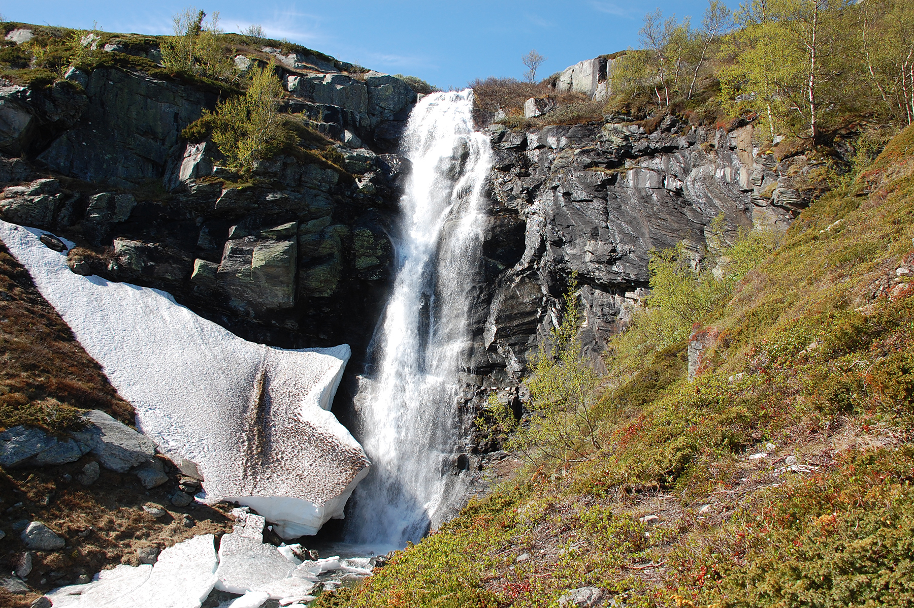
The
trail follows the stream, with its melting water falling
down the
mountain. |
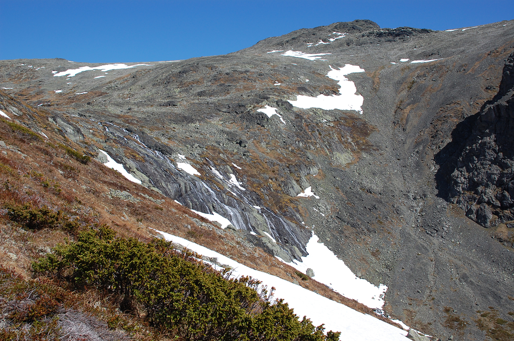
The same stream, now on 1400m.
Skarvanfjellet is in the background. |
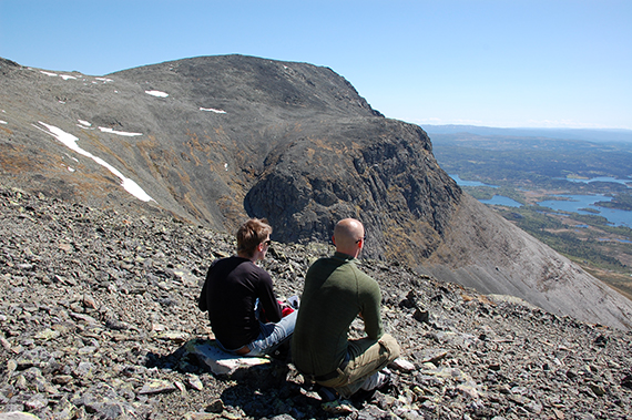
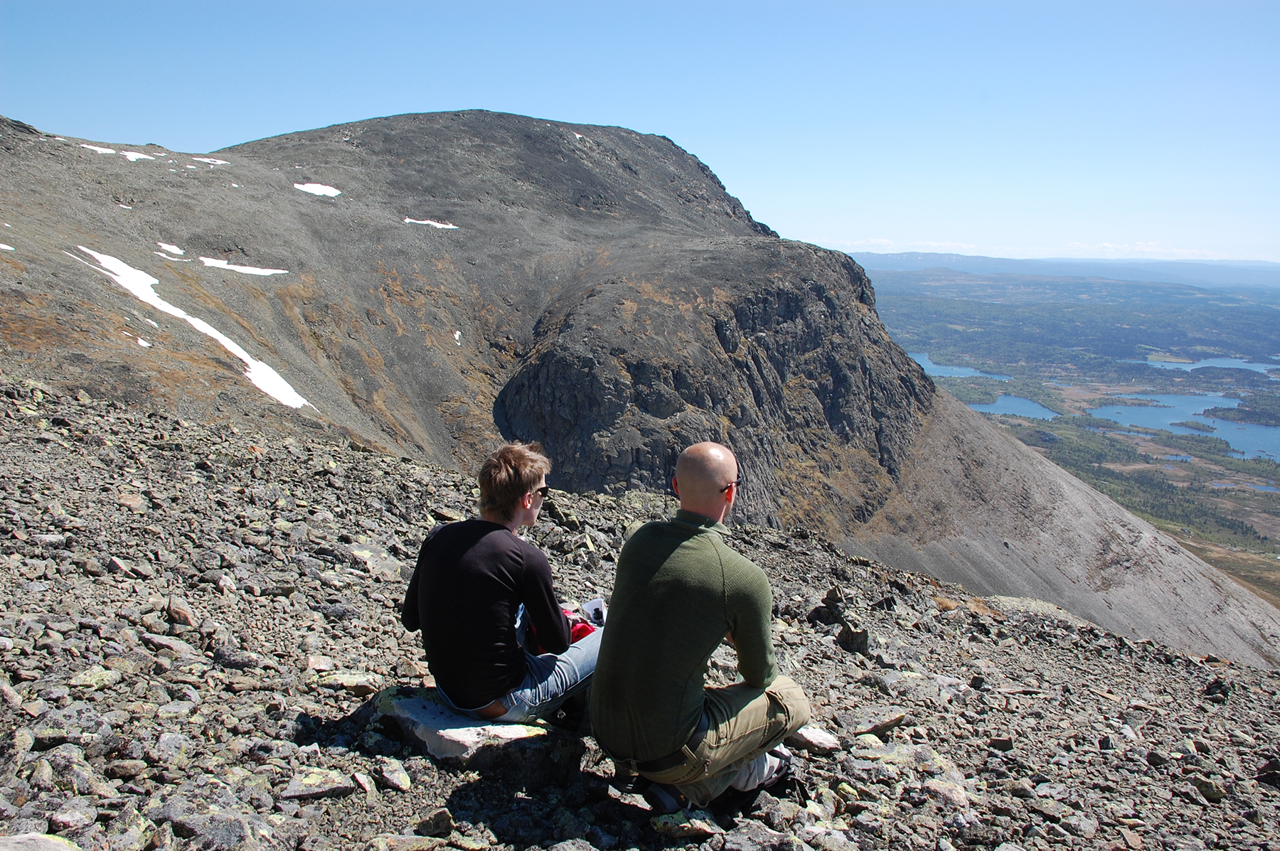
Marcus
and Daniel are contemplating the enigmas of life, at 1500m altitude.
Skogshorn rises in the background.
|
|
|
|
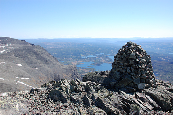
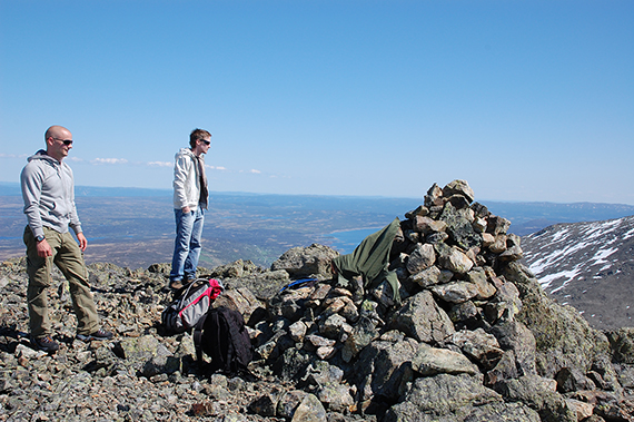
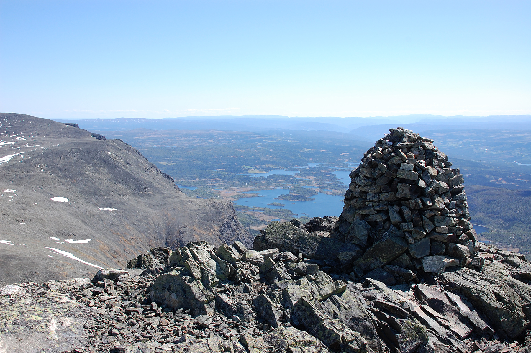
The summit cairn of Nibbi, 1741m, reached
after 2,5h.
The picture is taken towards the south. |
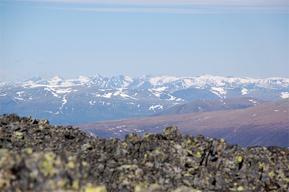
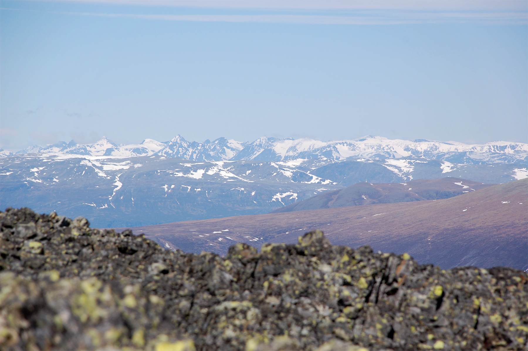
To the north the peaks of Jotunheimen are
visible. They say there is a lot of snow there this year.
|
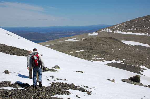
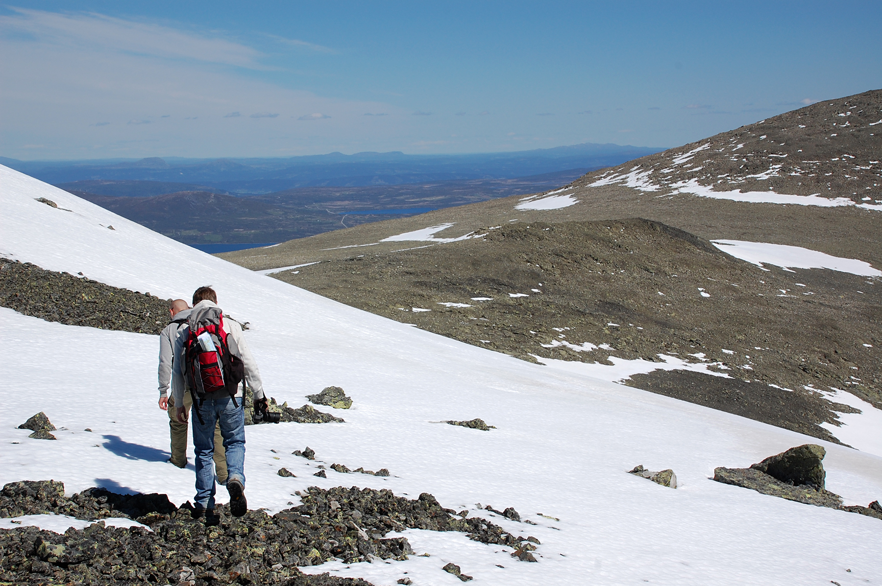
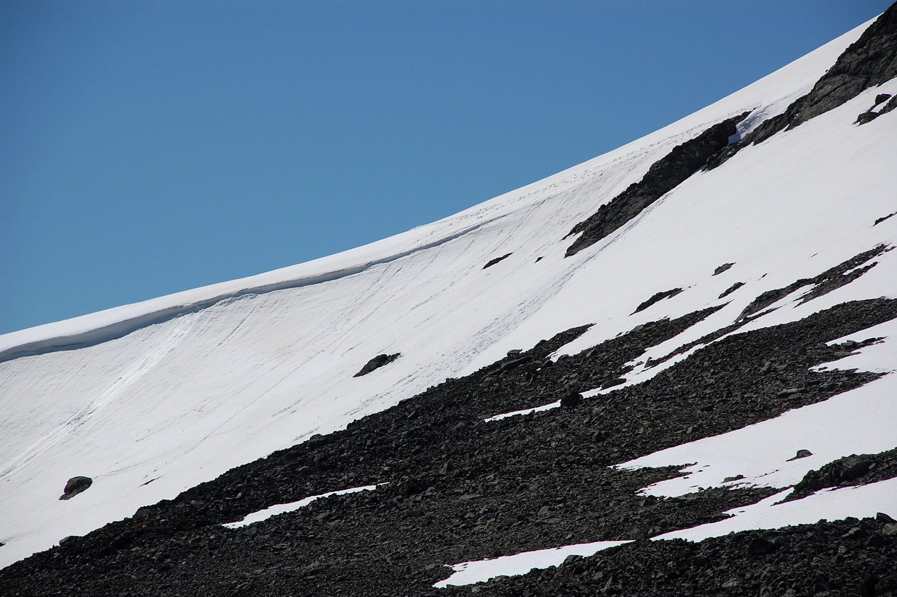
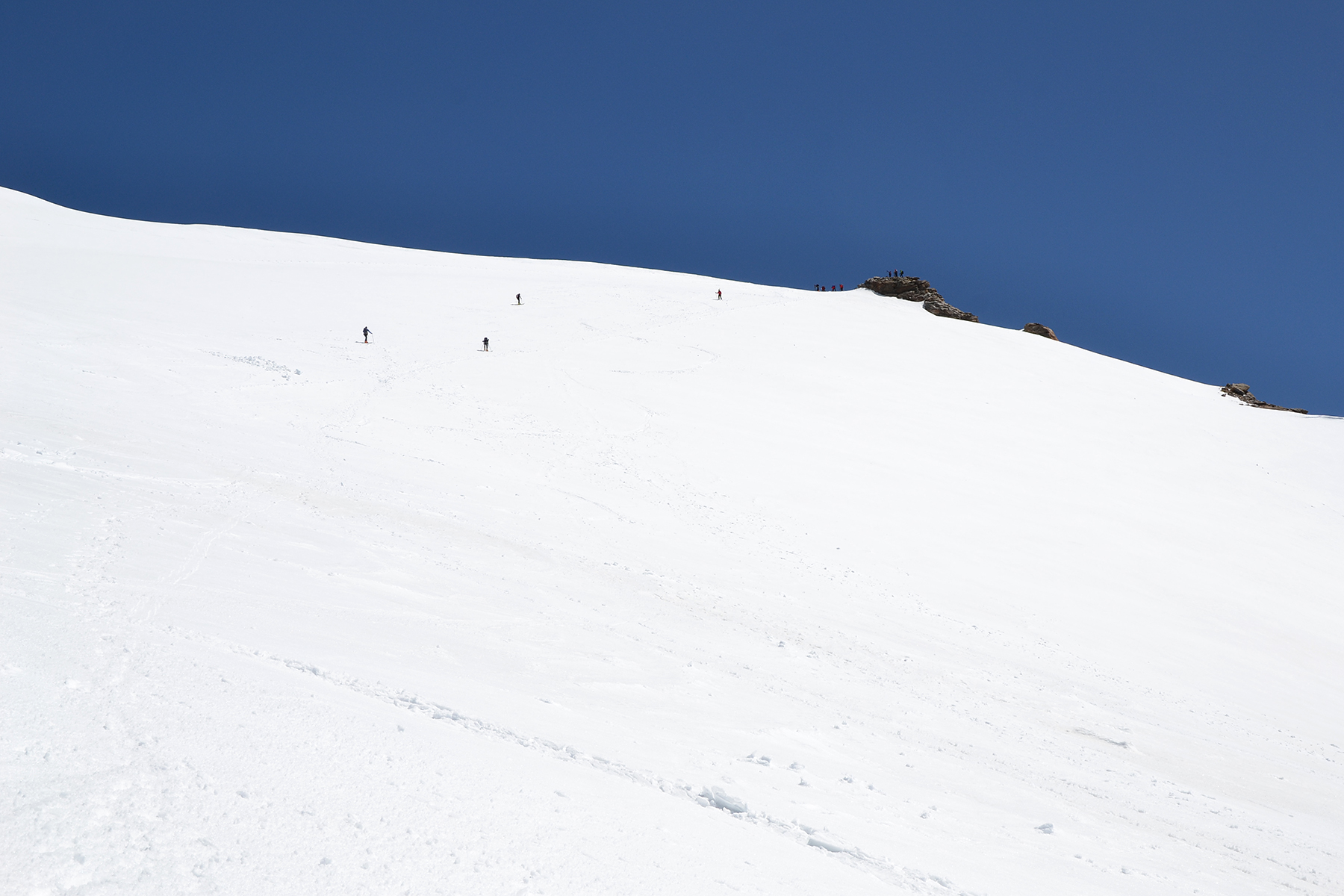
Time to
move on towards Skarvanfjellet. This snowfield doesn't seem to present
any difficulties at first.
|

|
|
|
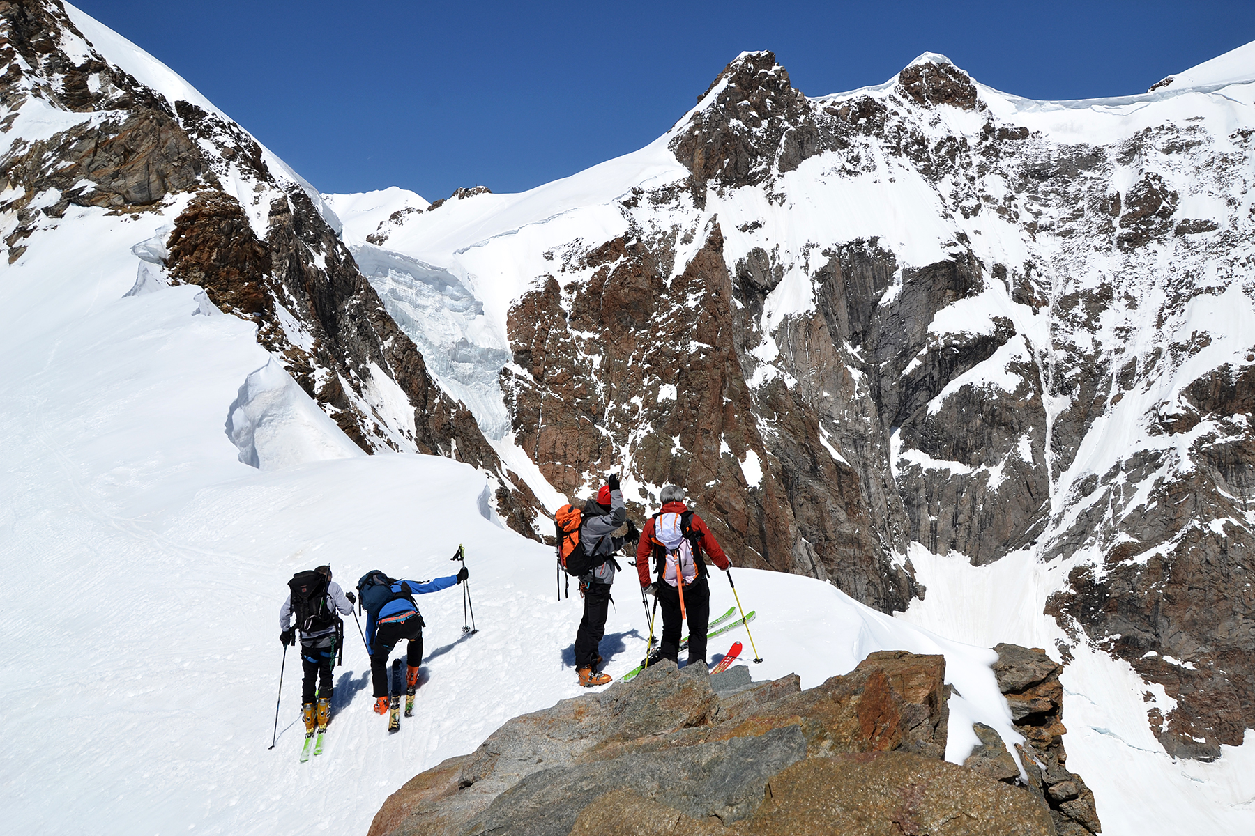
But
then we see the steep fall with an overhang just ahead
of us. We move,
as the tracks show, carefully down and
glide the last part. |
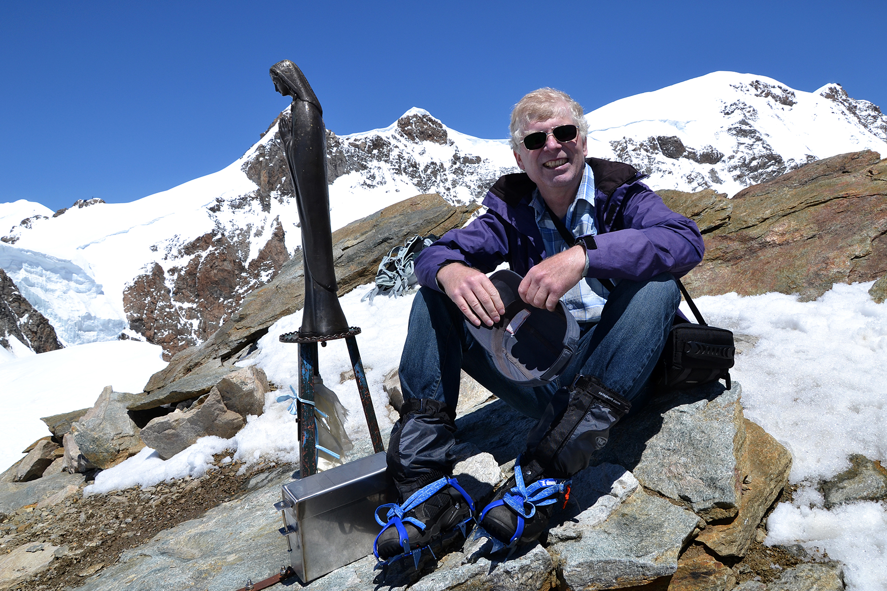
The
summit cairn of Skarvanfjellet, 1735m.
Apart from the steeper section, the route was without any problems and
took about half an hour. Daniels
sweater temporarily
embellish the cairn.
|
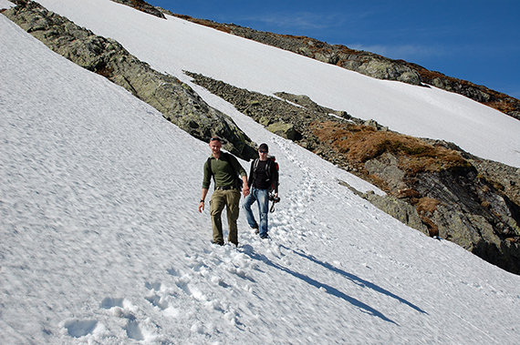
Descending again.
|


